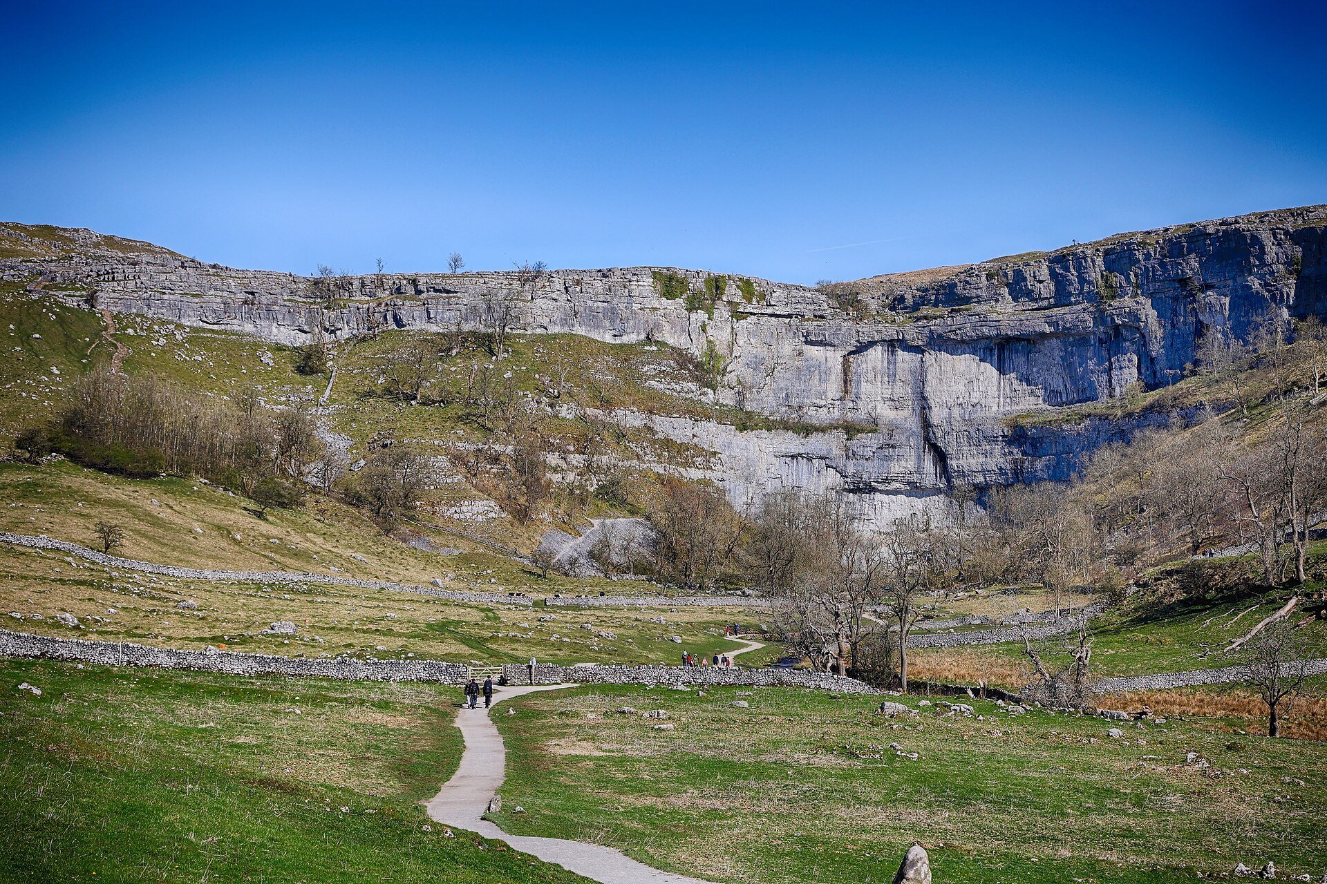
Malham Cove, Gordale Scar and Janet's Foss Circuit
A 7.2km circuit from Malham village to Janet's Foss, the Gordale Scar gorge and the 70m limestone cliff of Malham Cove, with 400 steps to its pavement.
- 7.2 km
- 211 m up
- 3 hr
- Moderate
Cove, gorge and waterfall on one circuit from the village.
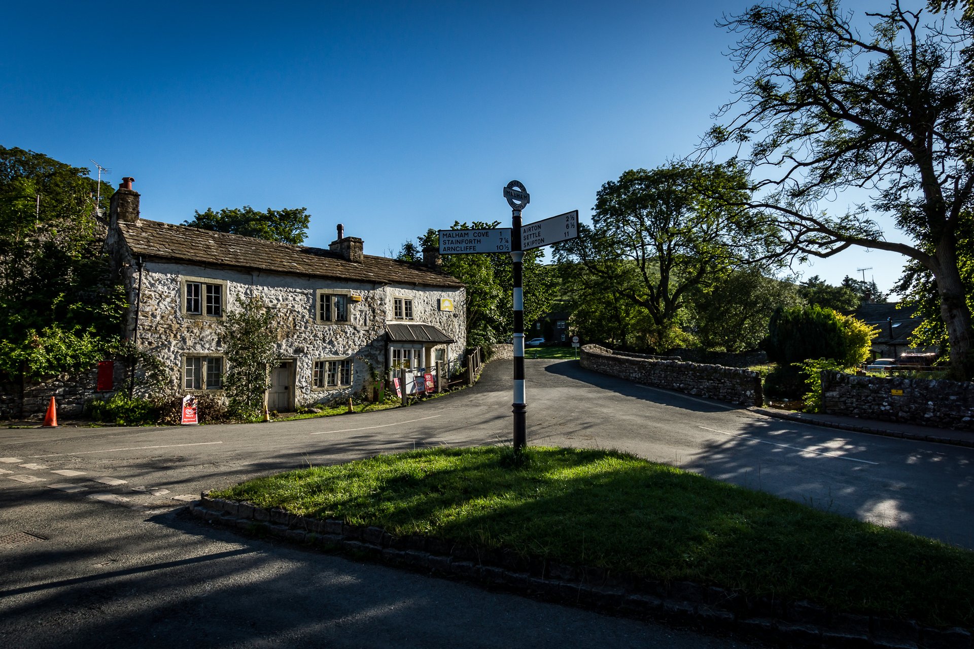
Settle
DalesBus lists a seasonal bus from Settle; the other buses run from Skipton and Gargrave.
2
124
Malham is a village at the upper end of Malhamdale, the valley of the River Aire, with 238 residents in the parish at the 2011 census according to Wikipedia. The Domesday Book gives the name as Malgun, “settlement by the gravelly places”, and the Pennine Way passes through the village. The same source records a National Park Information Centre and a large car park, and limestone pavements that draw enough visitors for the footpaths to show erosion where walkers leave them.
At Malham the walk people come for starts on foot from the village. Malham Cove, a curved limestone cliff that Wikipedia puts 1km north of the village, is the end of the circuit that also takes in Gordale Scar and Janet’s Foss; Walking Englishman gives it as 7.1km with 211m of climbing, two to three hours and an easy rating, and calls it the most popular Yorkshire Dales walk of them all. The price of that is the village itself, which Walking Englishman says is very busy in summer and particularly at weekends. Pen-y-ghent, the second walk here, is 13.5km away in a straight line.
The circuit leaves the village: Walking Englishman starts outside the post office, crosses the bridge over Malham Beck and follows a track north to the cove. No car is needed once you are in Malham. Pen-y-ghent is the opposite case. It starts at the pay and display car park in Horton in Ribblesdale, in the next valley over the hills, a village with its own station on the Settle to Carlisle line.
DalesBus lists buses to Malham from Skipton and Gargrave, as minibus 210 and 211, service 75 and Cravenlink 864, and a seasonal service 75 via Malham Tarn, the one bus that comes from the Ribblesdale side. The nearest railway station is on the Settle to Carlisle line, but only that Saturday bus links it to the village, so most arrivals by public transport come through Skipton. By car, the National Park Centre car park is pay and display. Check DalesBus before relying on any bus for a walk.
Walking Englishman describes the cove circuit as probably the most popular walk for families in the national park, with walkers of all abilities, children included, on the stepped path to the left of the cove, which is the only significant climb. The route views the Gordale Scar waterfall from below, so nobody has to scramble up it. Wikipedia notes that visitor numbers have worn the paths where walkers leave them.
Anyone who wants a summit from the door will not find one, since Pen-y-ghent is a drive away and the cove is a cliff, not a hill. Walkers who want a quiet path should not come at a weekend in summer. For a mountain day reached by train, Settle is the better base, and for the rest of upper Wharfedale, Grassington.
The National Park Centre has a large car park in the village; the car park is pay and display.
A 7.2km circuit from Malham village to Janet's Foss, the Gordale Scar gorge and the 70m limestone cliff of Malham Cove, with 400 steps to its pavement.
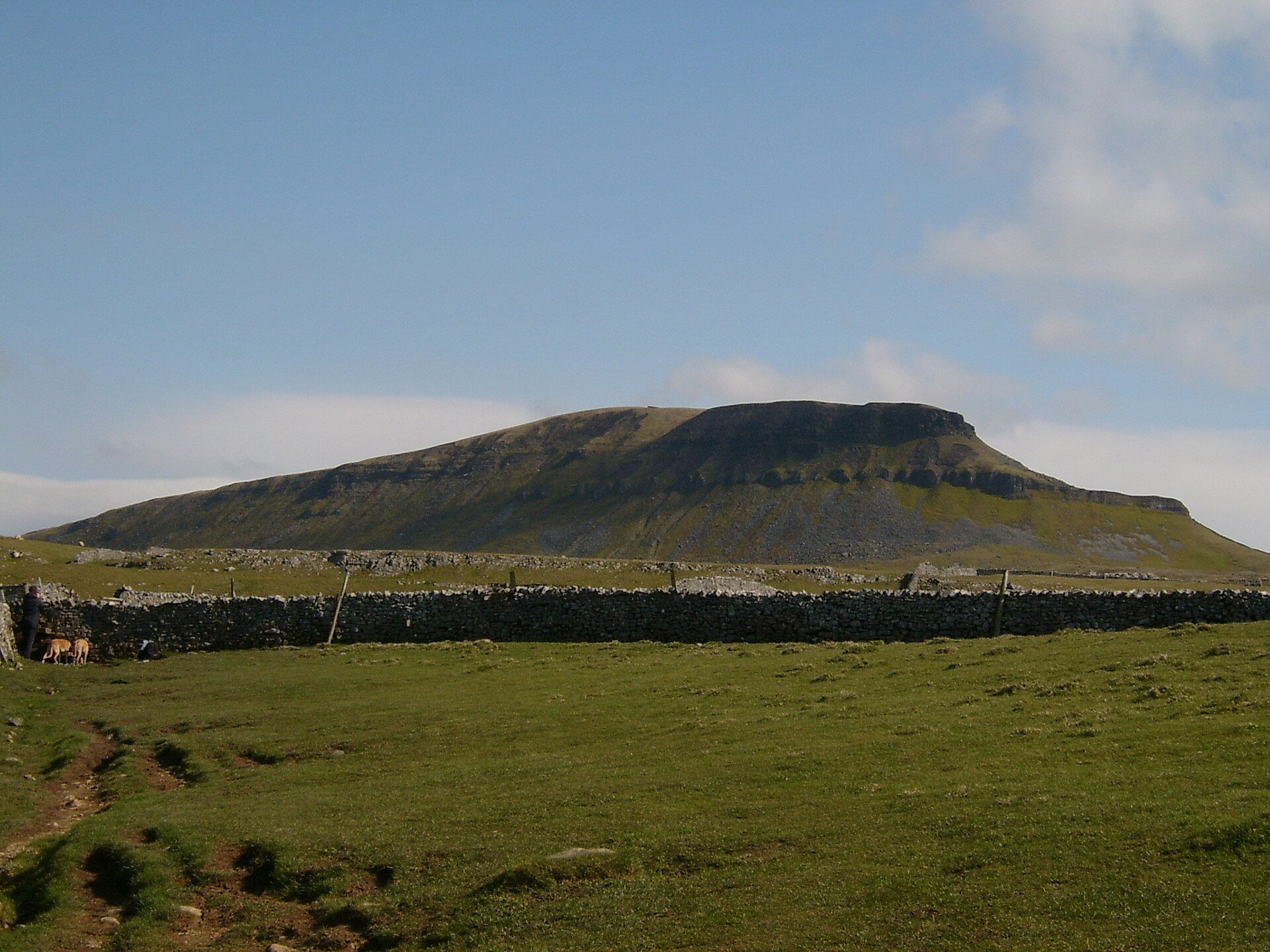
The lowest of the Yorkshire Three Peaks at 694m, climbed from Horton in Ribblesdale by Brackenbottom and left by Hull Pot, 10.6km in all.
Booking through these links earns a commission. The price is the same.
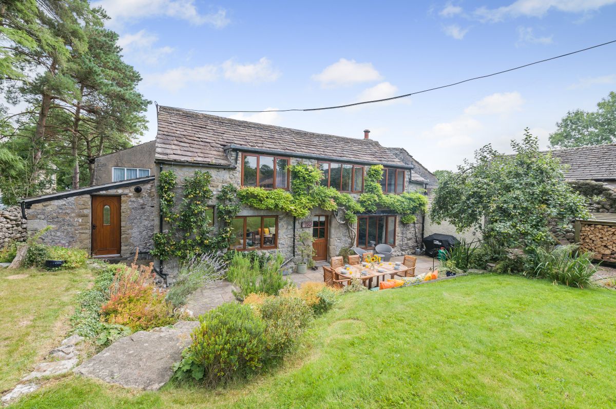
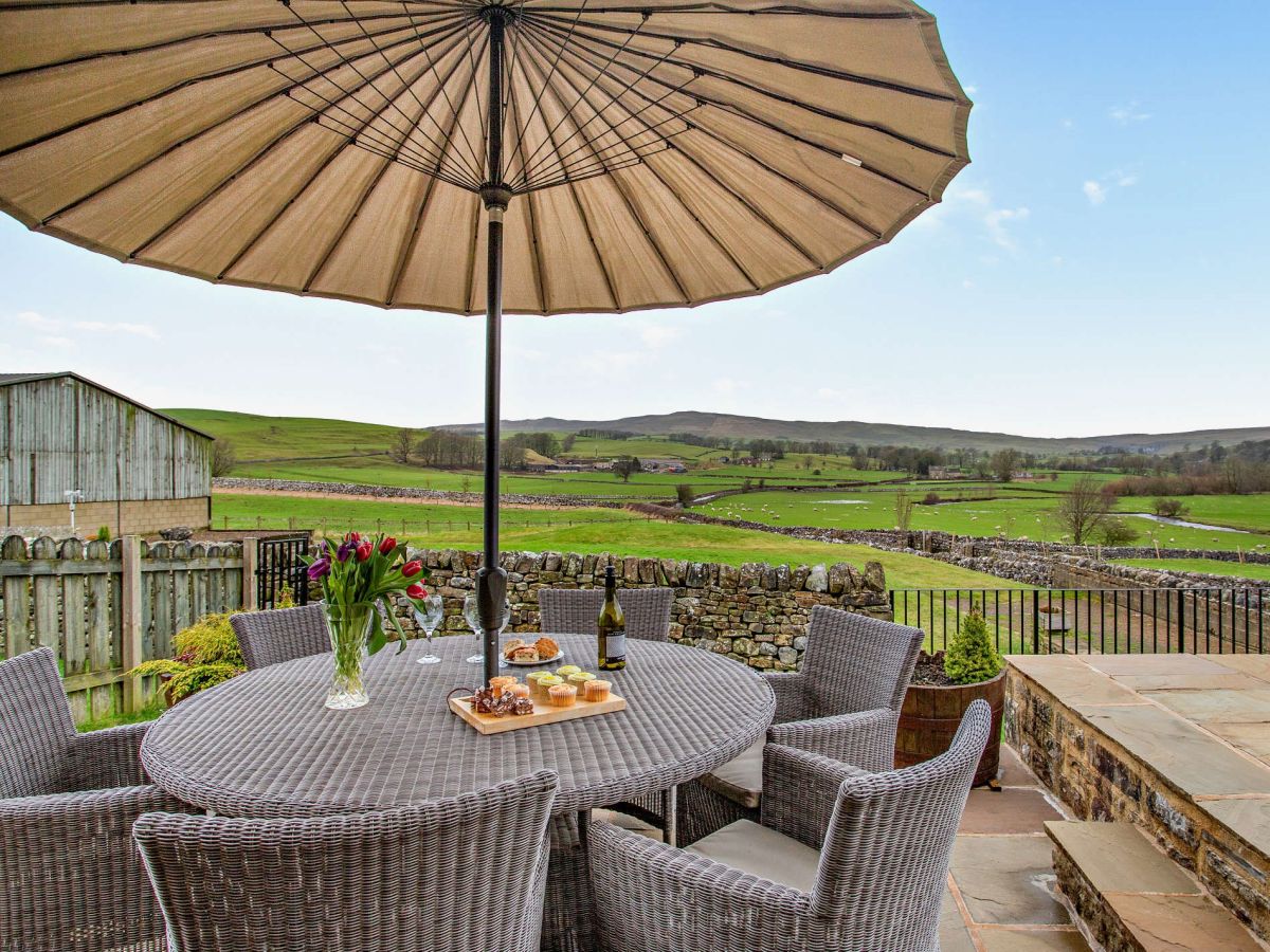
Malham, near Skipton, Yorkshire
Sleeps 8 · 4 beds
from £1,400 / week
Check dates for Cooper's Laithe (opens the booking site in a new tab)Checked 7 Oct
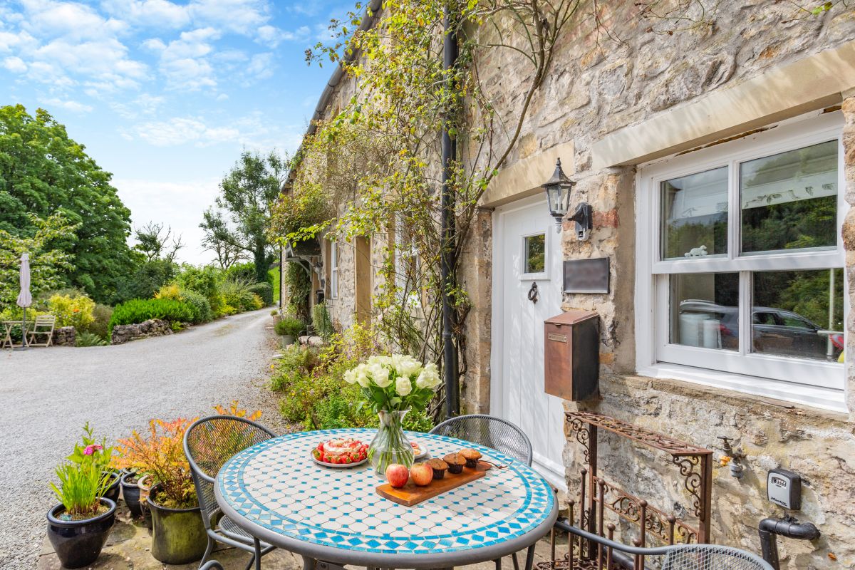
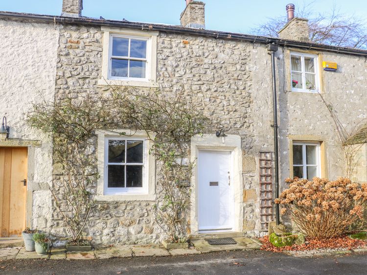
Kirkby Malham, near Skipton, Yorkshire
Sleeps 4 · 2 beds
from £559 / week
Check dates for Fountains Cottage - Malham (opens the booking site in a new tab)Checked 7 Oct
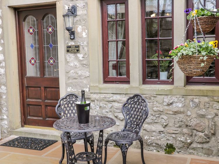
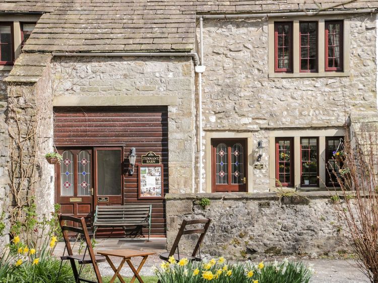
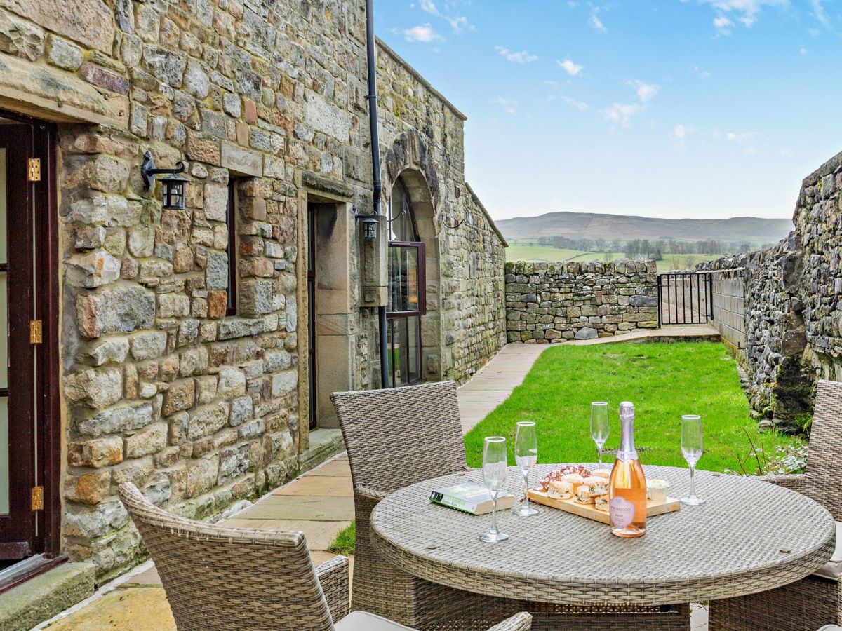
Malham
Sleeps 2 · 1 bed
from £559 / week
Check dates for The Hayloft at Tennant Barn (opens the booking site in a new tab)Checked 9 Oct
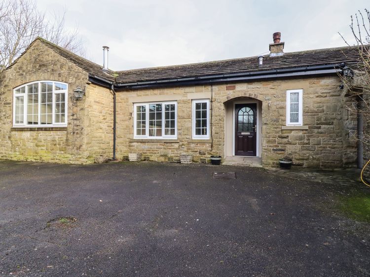
Airton, near Malham, Yorkshire
Sleeps 6 · 3 beds
from £825 / week
Check dates for Town End Farm - Cove View (opens the booking site in a new tab)Checked 7 Oct
Airton, near Malham, Yorkshire
Sleeps 4 · 2 beds
from £610 / week
Check dates for Town End Farm - The Byre (opens the booking site in a new tab)Checked 7 Oct