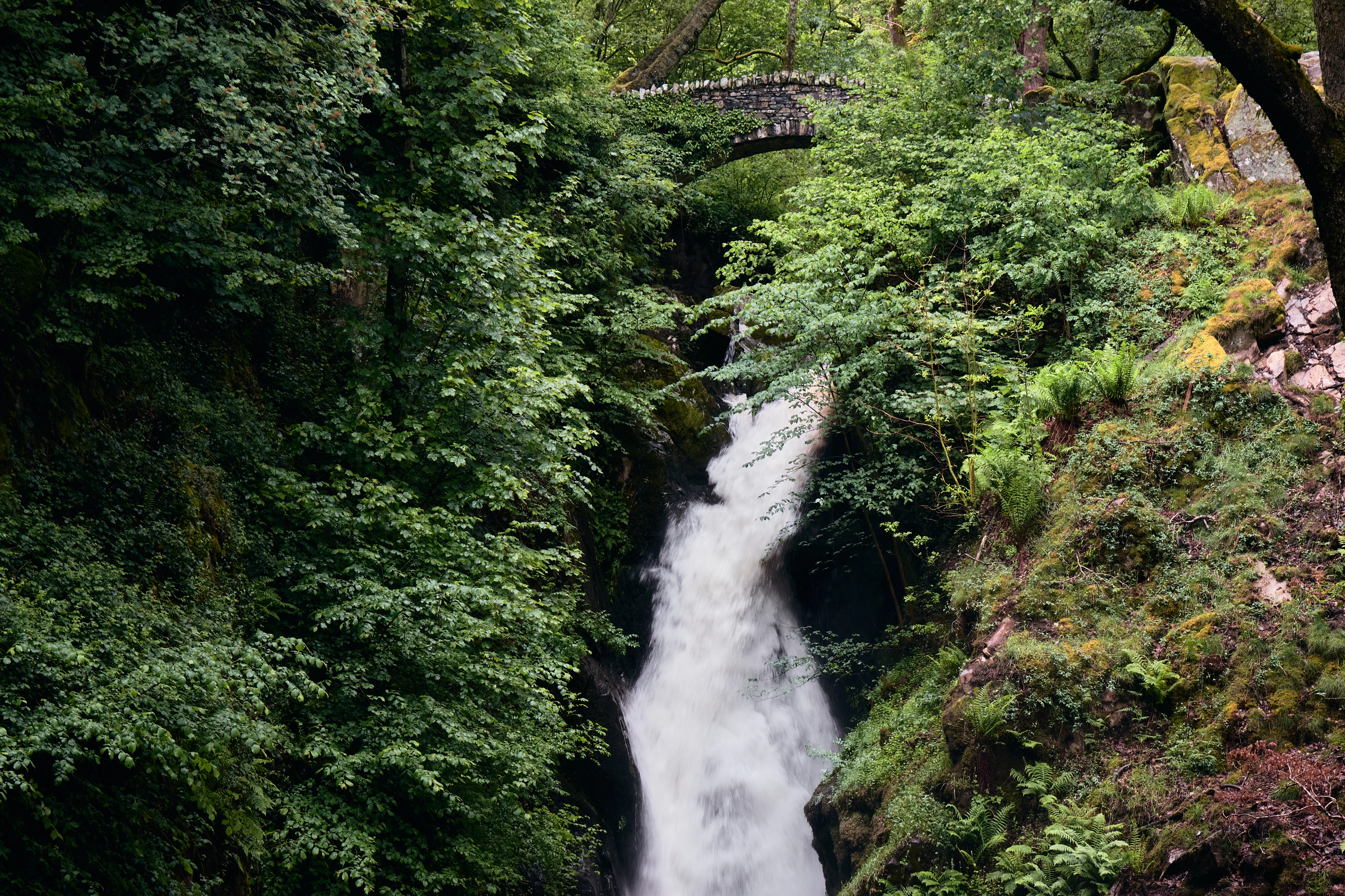
Aira Force and Gowbarrow
A National Trust waterfall walk above Ullswater, with a longer trail onto Gowbarrow Fell, near the shore of Wordsworth's daffodils.
- 7.2 km
- Moderate
Routes worth building a few days around, and every one of them a short drive from somewhere to stay.
Showing all 123
A National Trust waterfall walk above Ullswater, with a longer trail onto Gowbarrow Fell, near the shore of Wordsworth's daffodils.
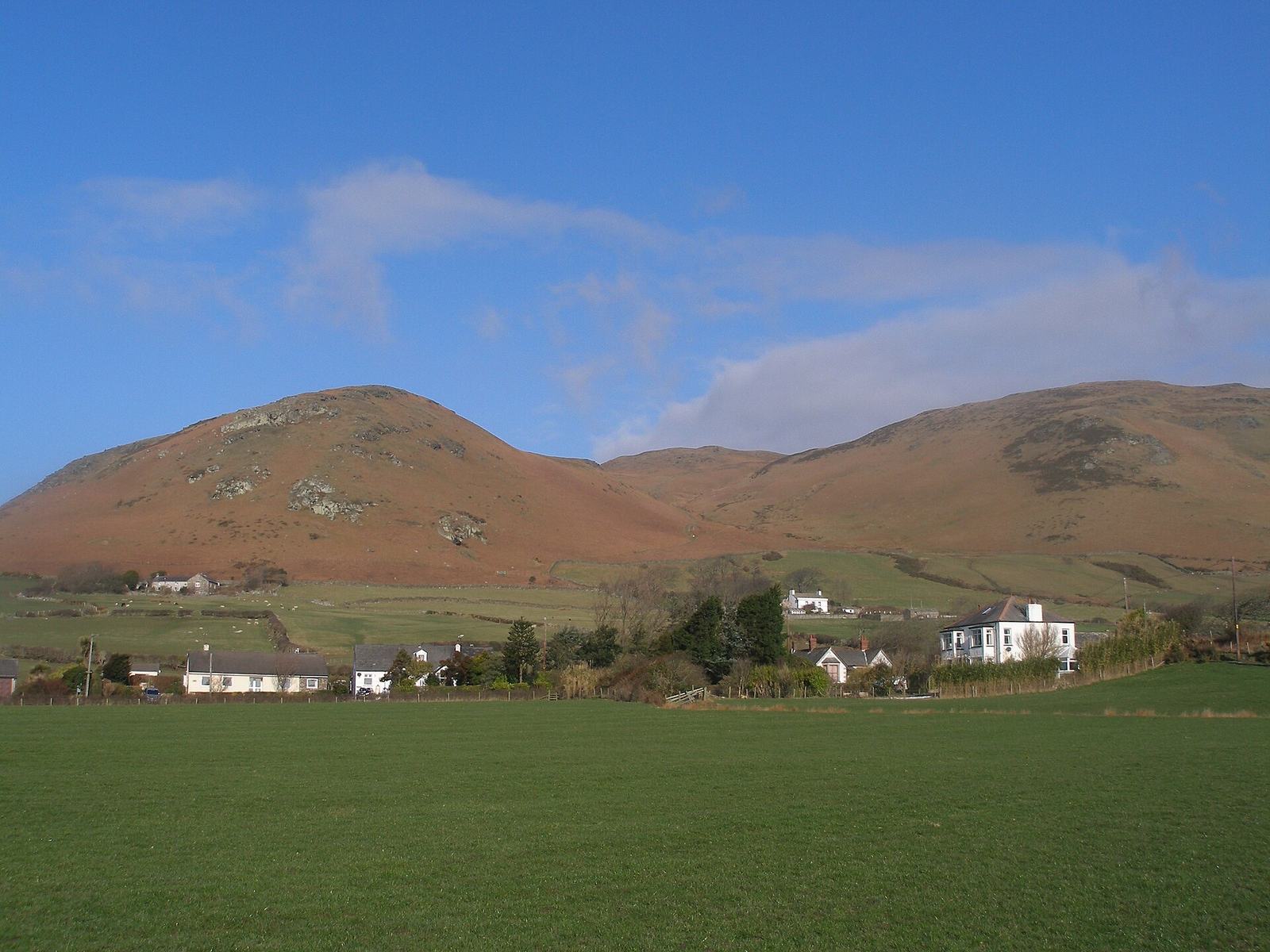
A 600m outlier four miles from the Irish Sea, climbed from Whicham church by a broad path, for a view Wordsworth ranked among Britain's amplest.
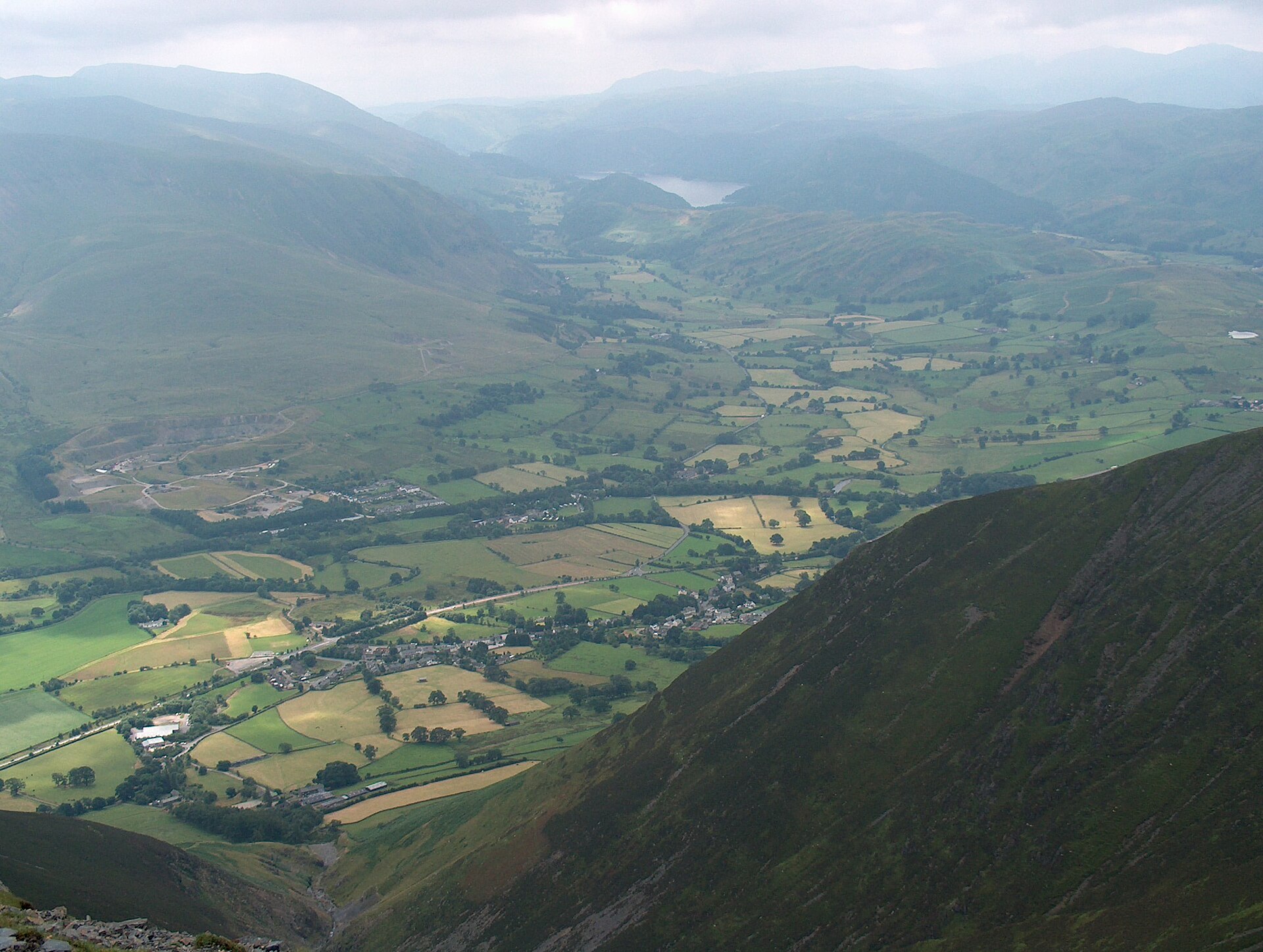
A steep, non-technical ascent of Blencathra's broad southern shoulder from Threlkeld, the plain way up beside the mountain's two famous scrambles.
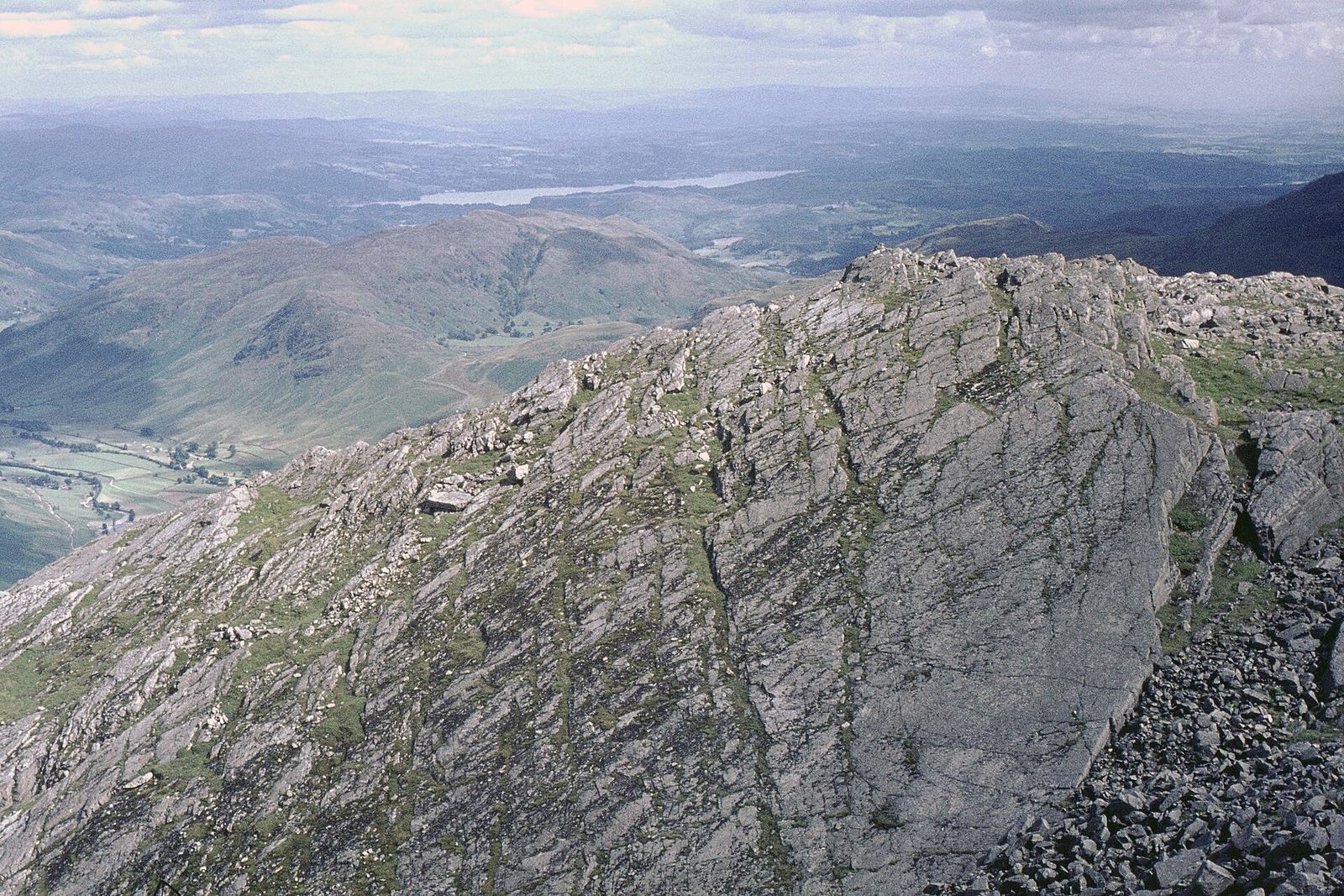
A hard circuit of the fell that closes Great Langdale, climbing past Whorneyside Force and the Great Slab to a boulder summit at 902m.
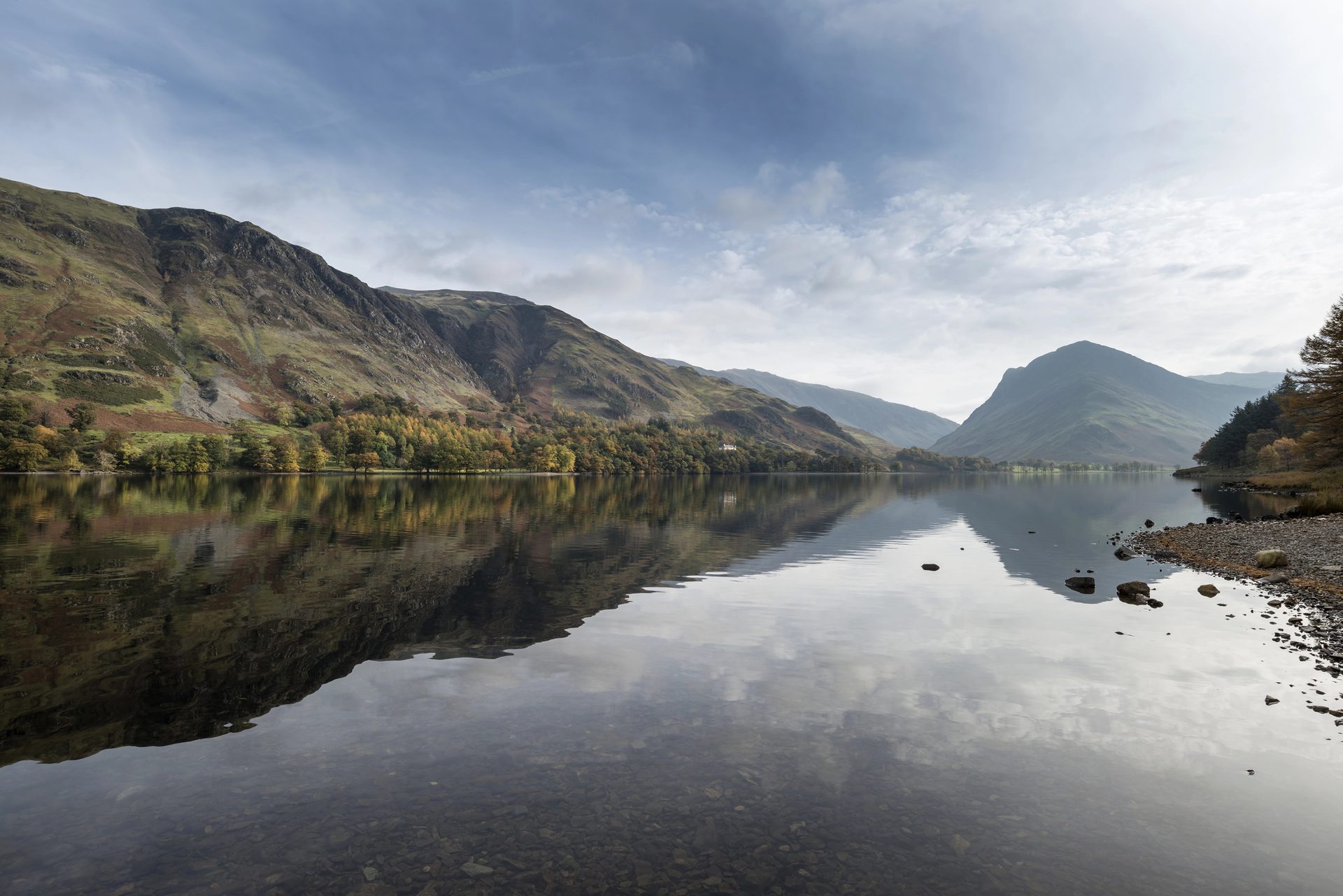
A level 7.2km path around Buttermere's shore, through a short rock tunnel, with almost no climbing.
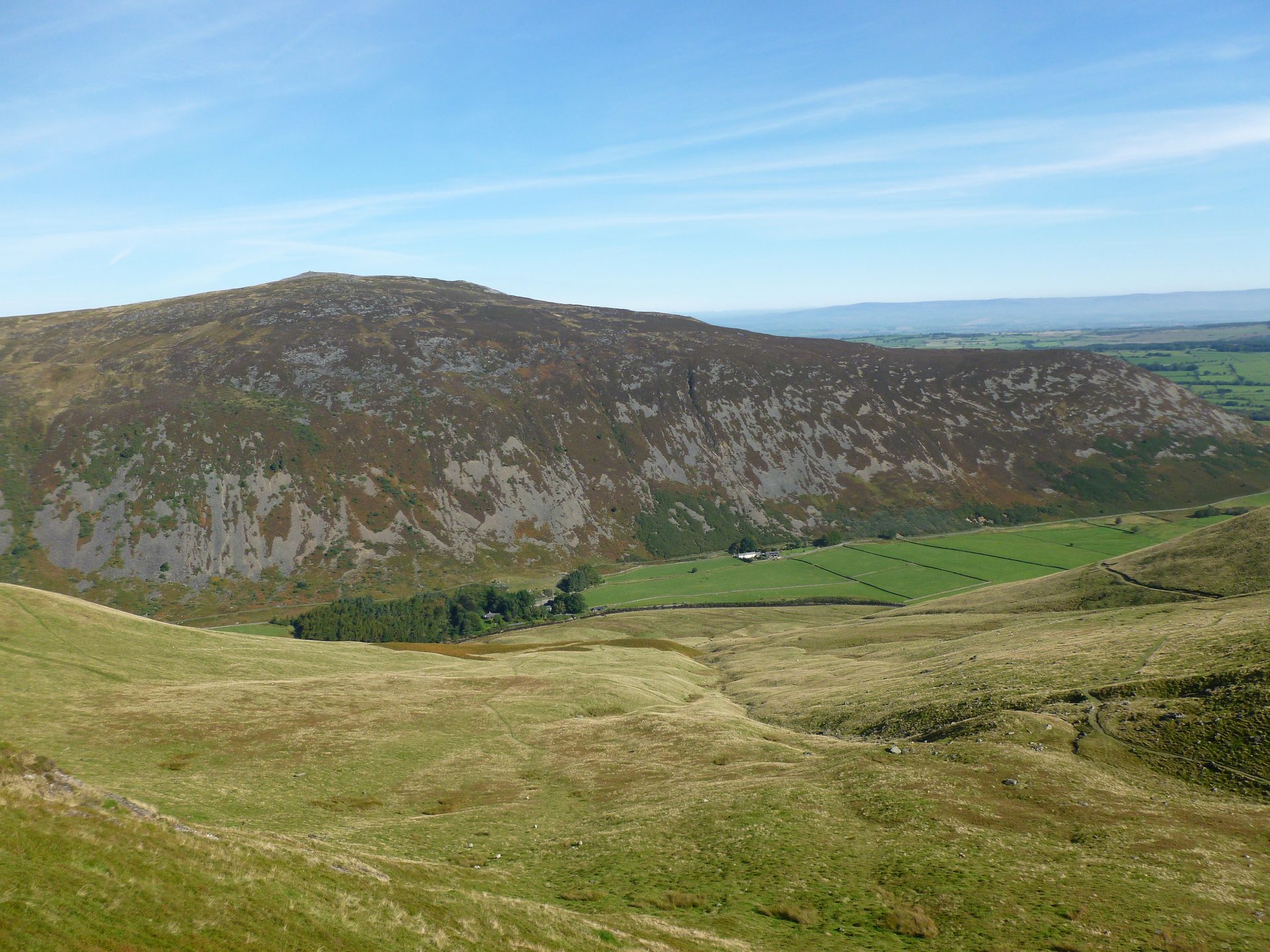
A steep climb to a scheduled hillfort on the Northern Fells' one gabbro summit, looped back past old mine workings.
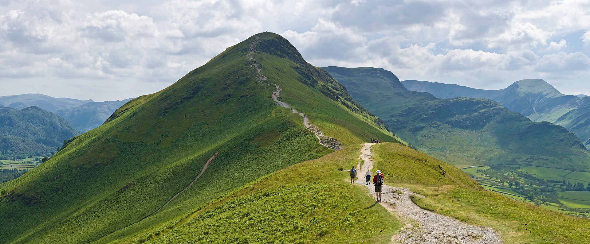
A short, popular ridge walk above Derwentwater, reached from Keswick by launch or lakeshore path, with light scrambling near the top.
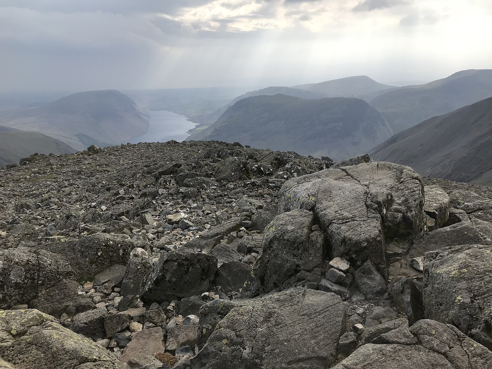
A hard mountain round over four Wainwrights from Honister Pass to the fell chosen as the National Park's emblem, and its Great War memorial.
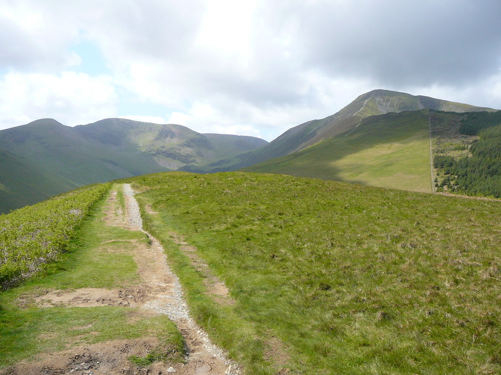
A steep ridge climb from Braithwaite to a 791m summit above Coledale, returning past Force Crag Mine, the last mineral mine worked in the Lakes.
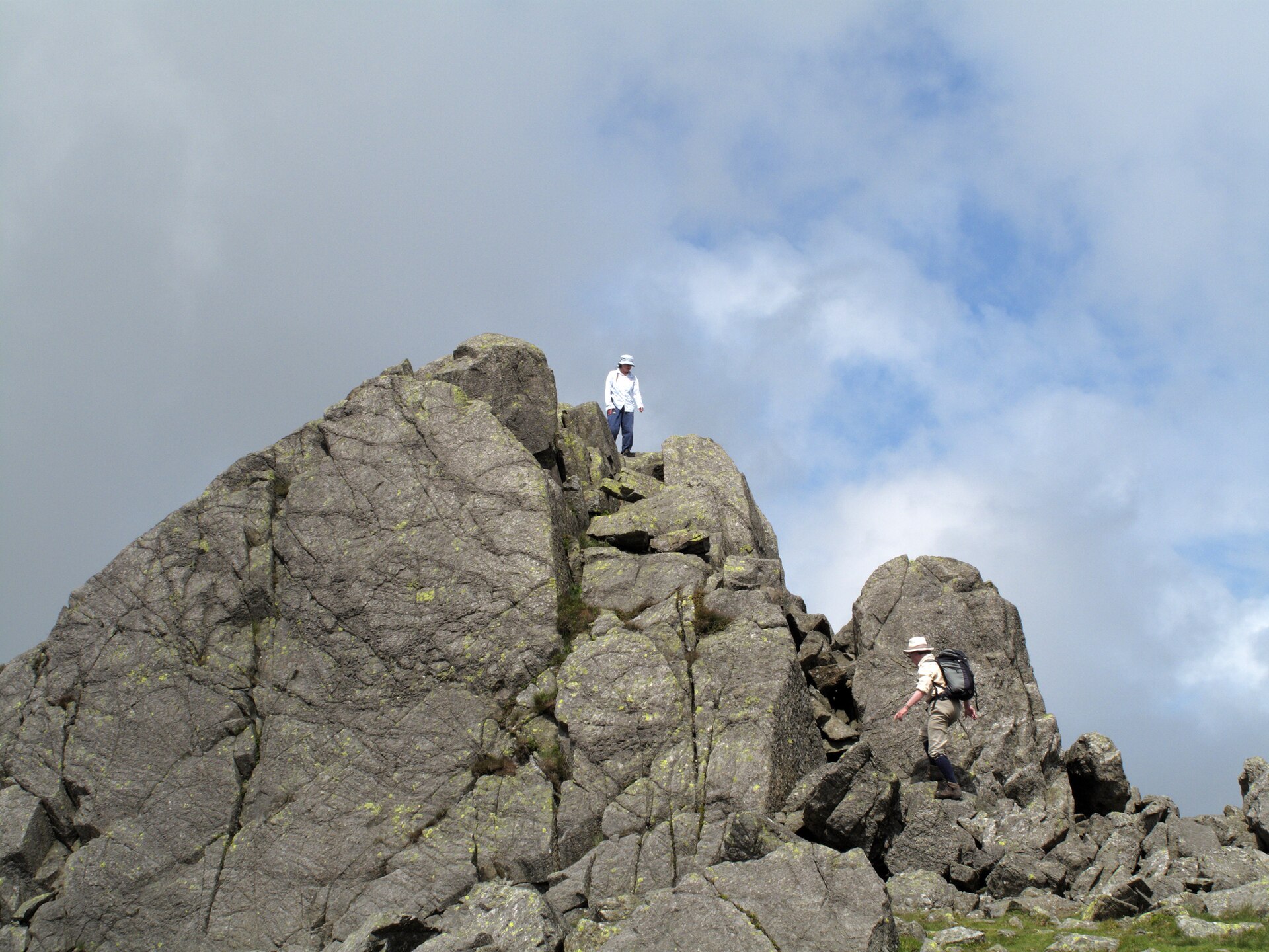
A short but steep climb from the top of Hardknott Pass to a rock-towered summit above Eskdale and the Duddon Valley.
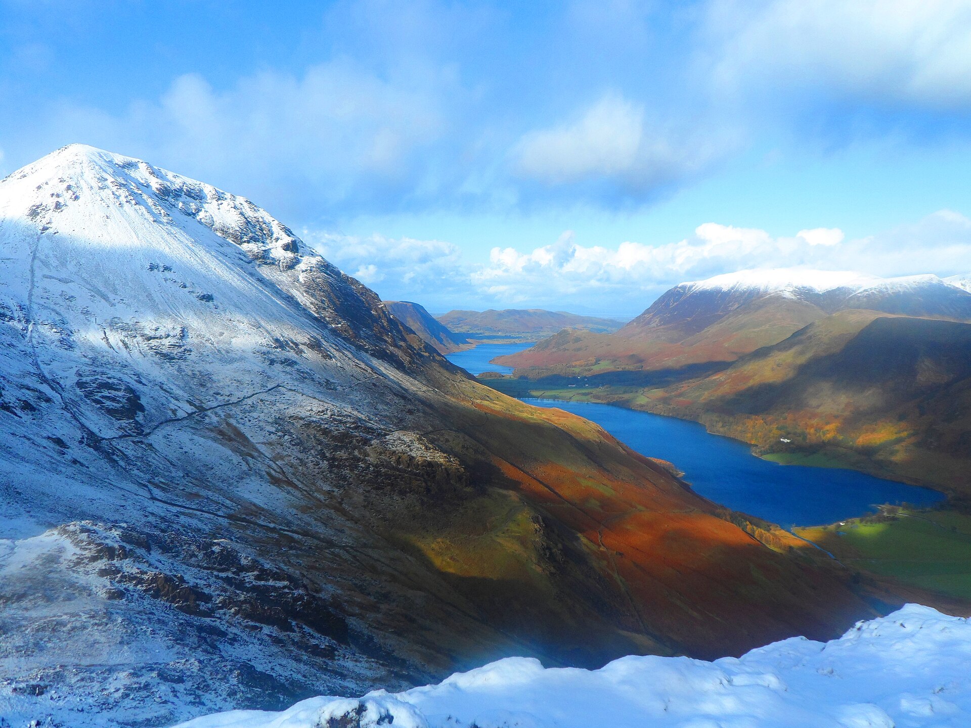
A rocky circuit over Scarth Gap to the fell Alfred Wainwright named his favourite, and where his ashes were scattered.
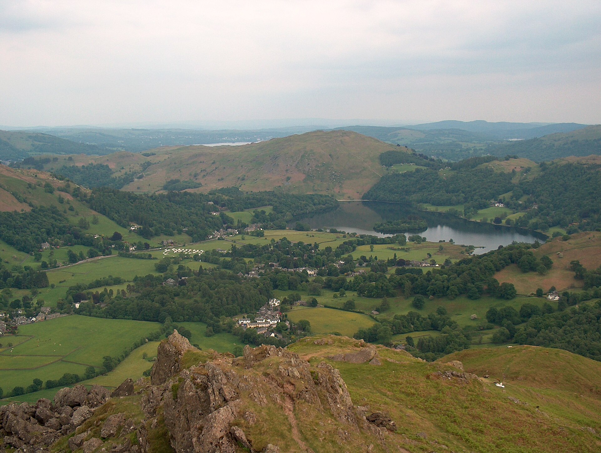
A short, steep fell above Grasmere whose ridge rocks carry names: the Lion and the Lamb, and the summit outcrop known as the Howitzer.
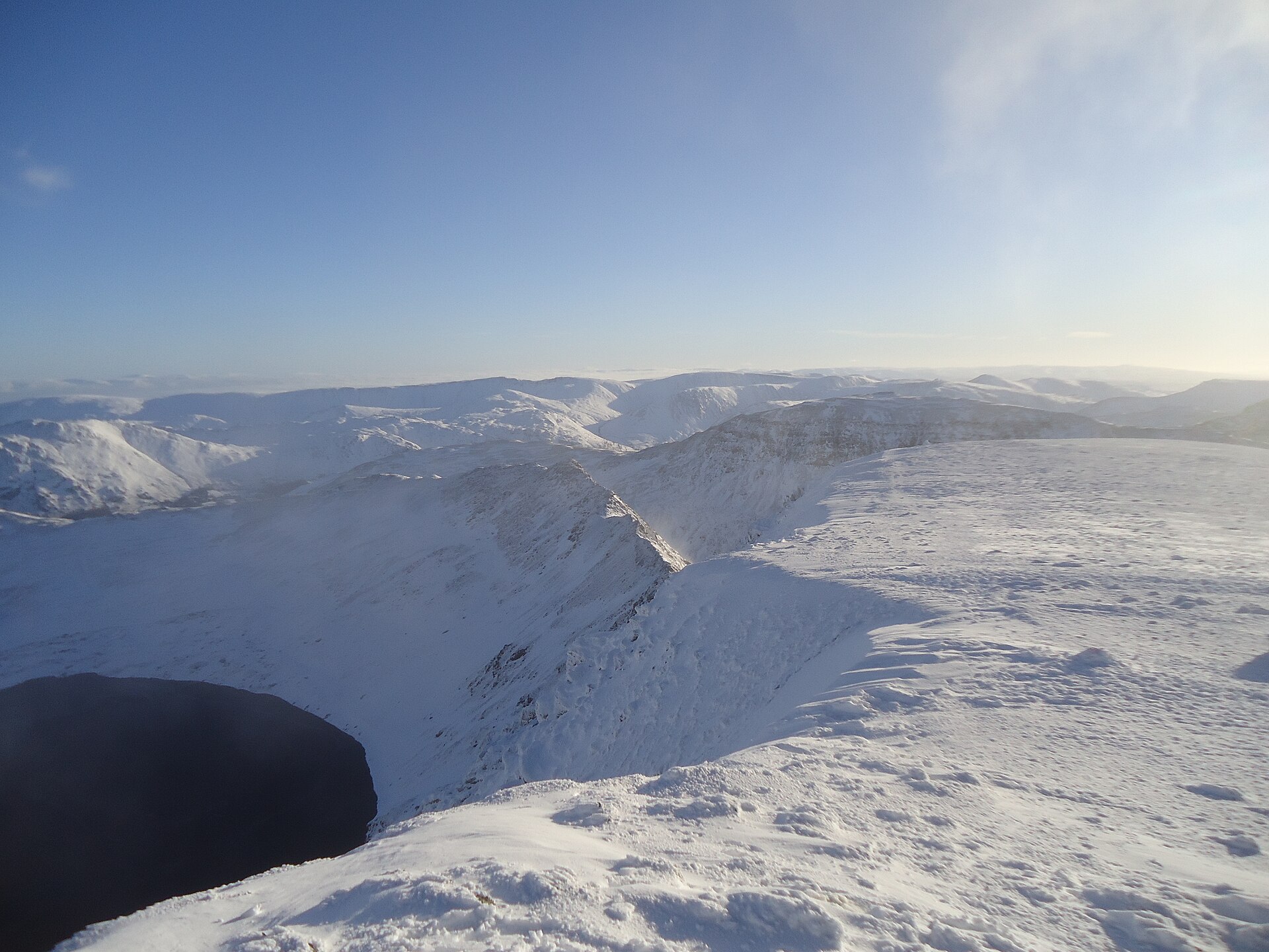
A narrow, exposed ridge scramble to England's third-highest summit, the best-known serious ridge walk in the Lakes.
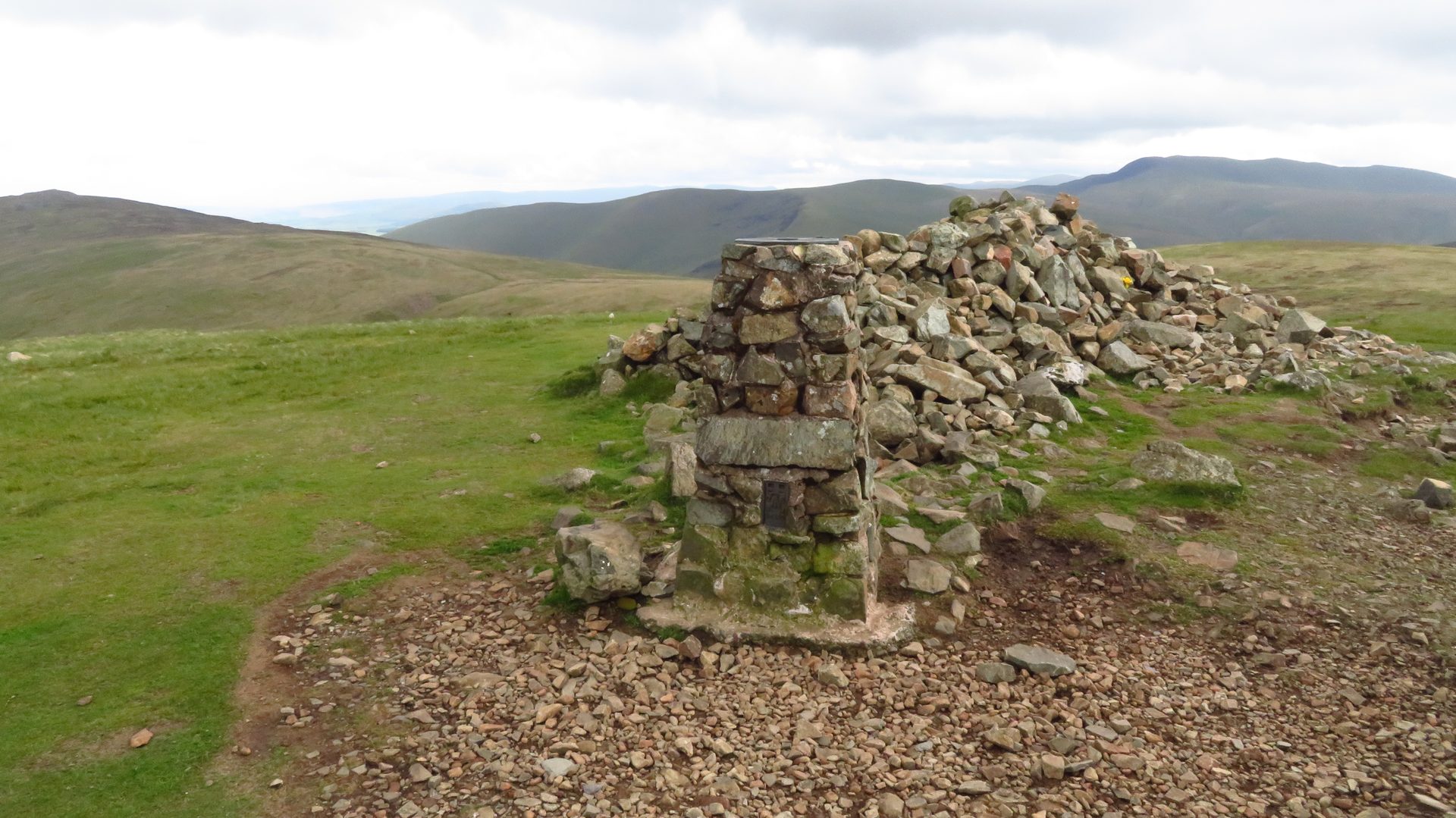
A waymarked climb on the Cumbria Way from Caldbeck to High Pike, the most northerly Lakeland fell over 2,000 feet, above the Solway Firth.
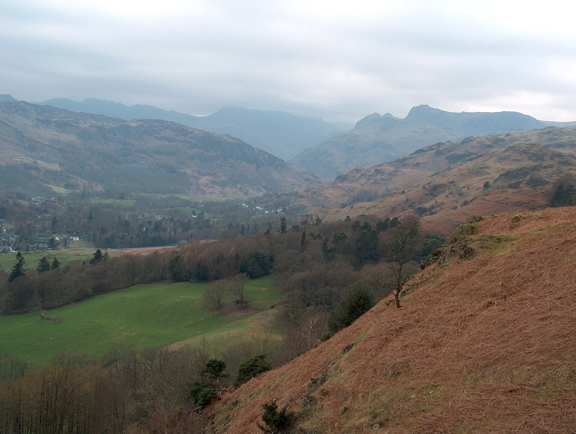
A short, well-used climb to a broad summit scattered with tarns, starting on the road between Ambleside and Grasmere.
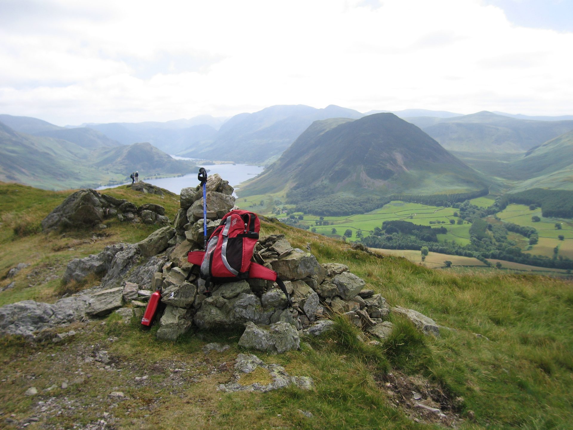
A grassy two-summit ridge walk above Loweswater, with one of the best views of Crummock Water and the Buttermere fells from a 423m top.
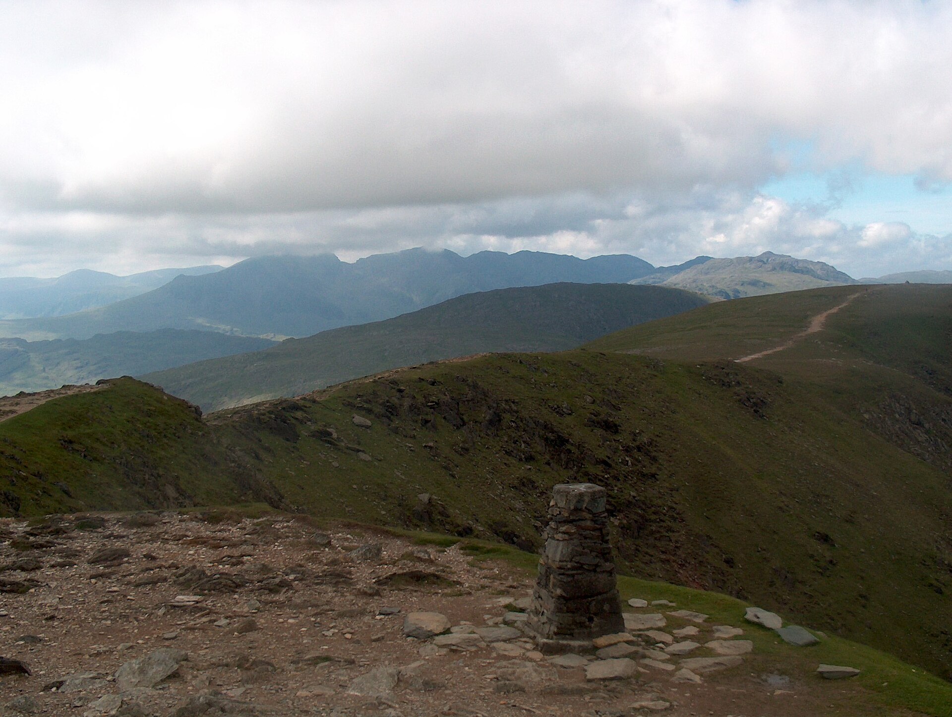
A steep, direct climb from Coniston village through old copper workings to one of the best-known summits in the southern Lakes.
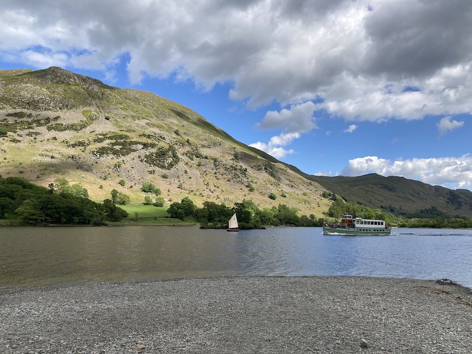
A circuit of the 657m fell above Ullswater, climbing past Side Farm and juniper to a trig point and returning by the pitched path down Steel Edge.
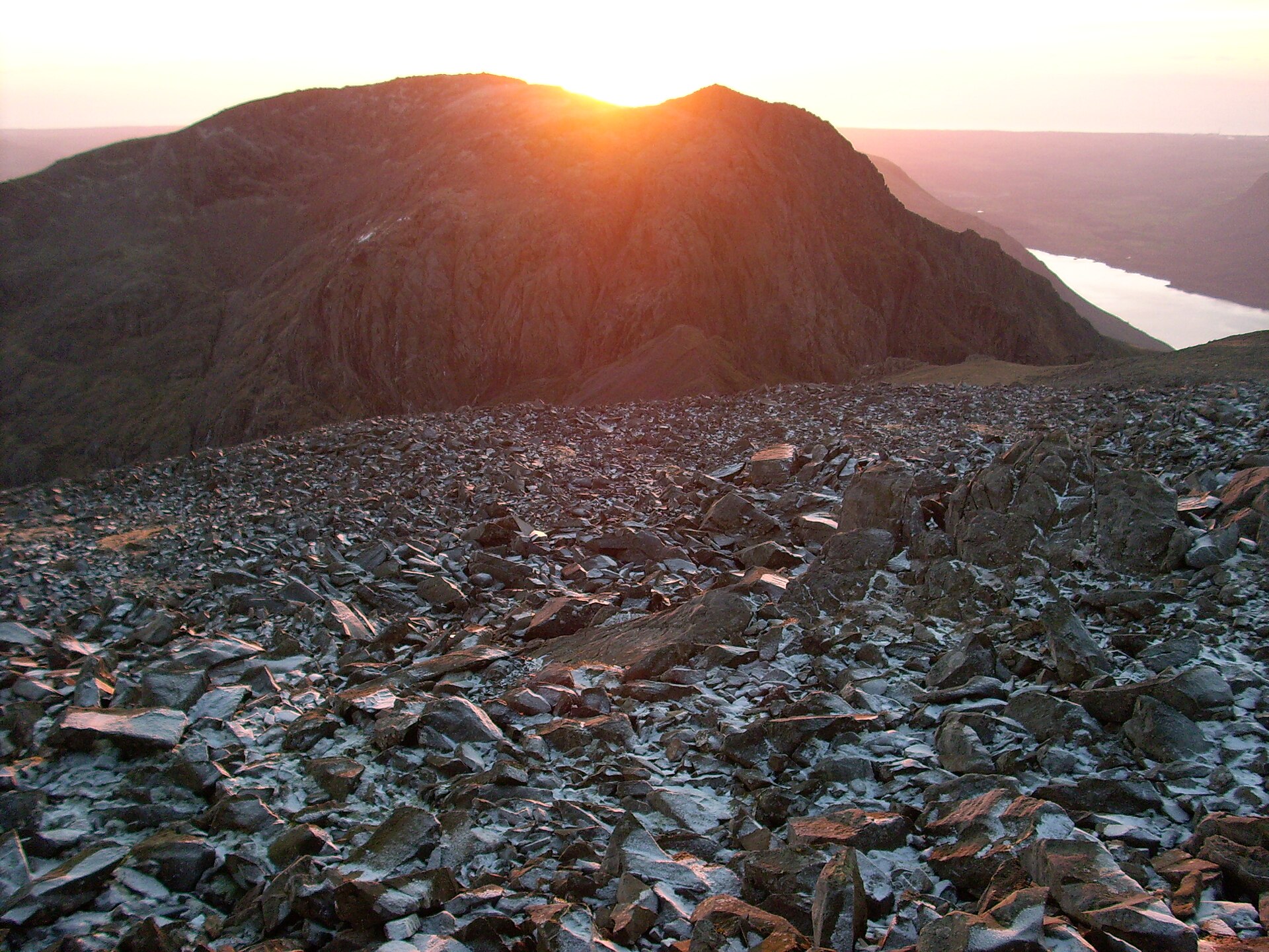
The shortest ascent of England's highest mountain, from National Trust Lakehead via Brown Tongue to the 978m war-memorial summit.
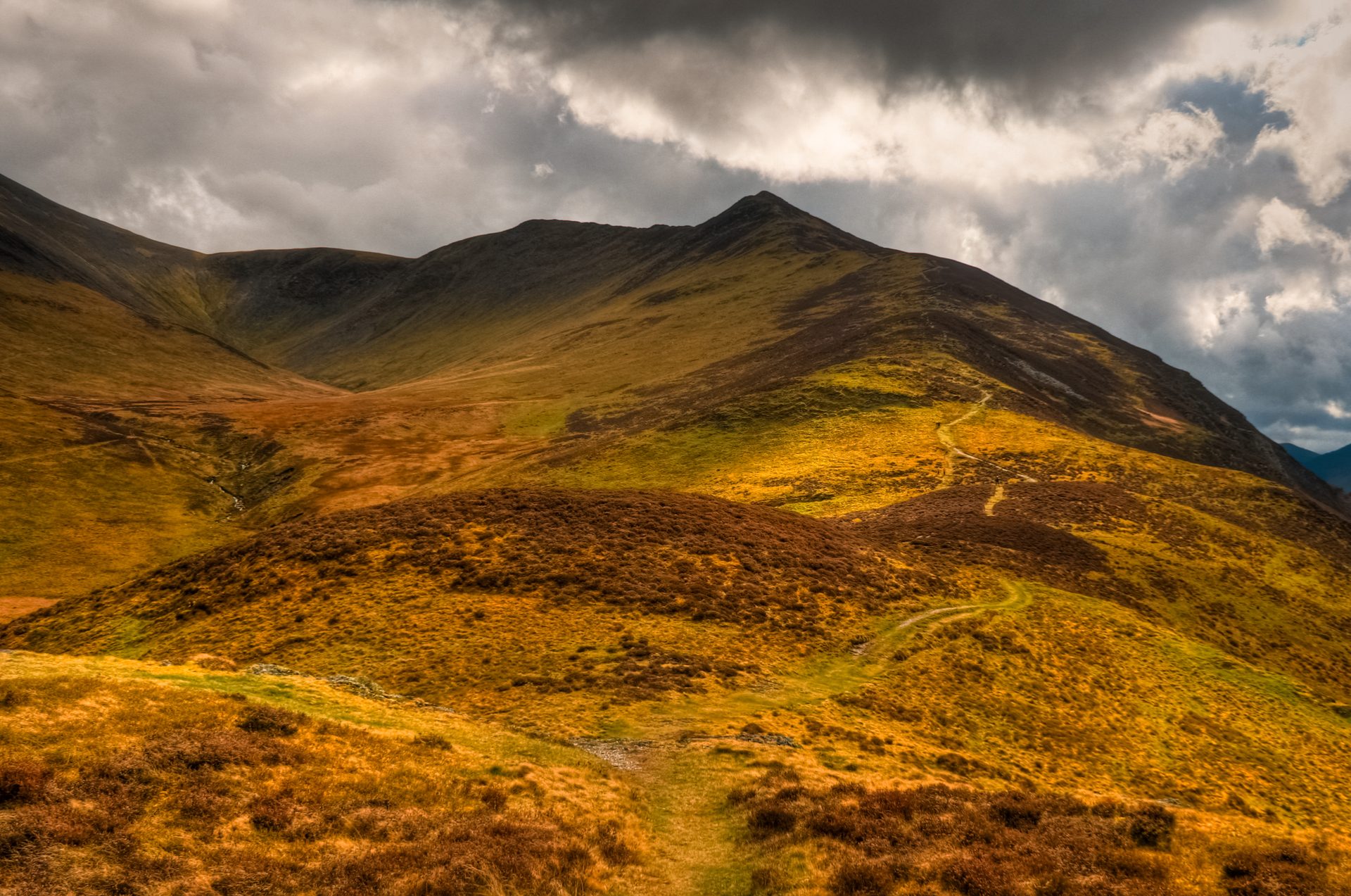
England's fourth-highest summit above Keswick, climbed on a wide, engineered path from the Gale Road car park via Jenkin Hill.
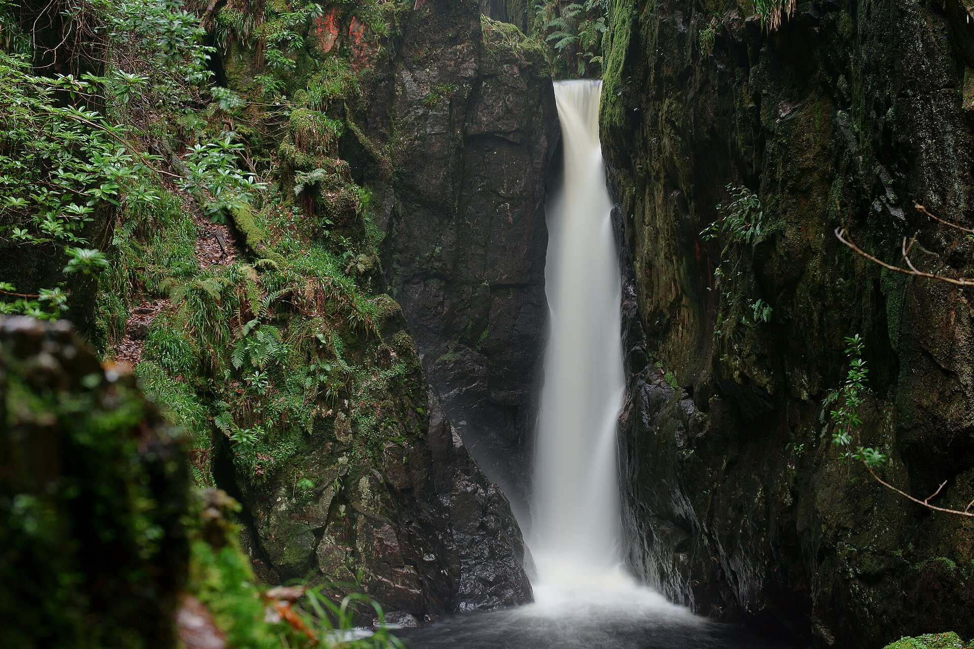
A short, rough walk up a wooded ravine near Boot to a waterfall, with a viewing platform above the falls.
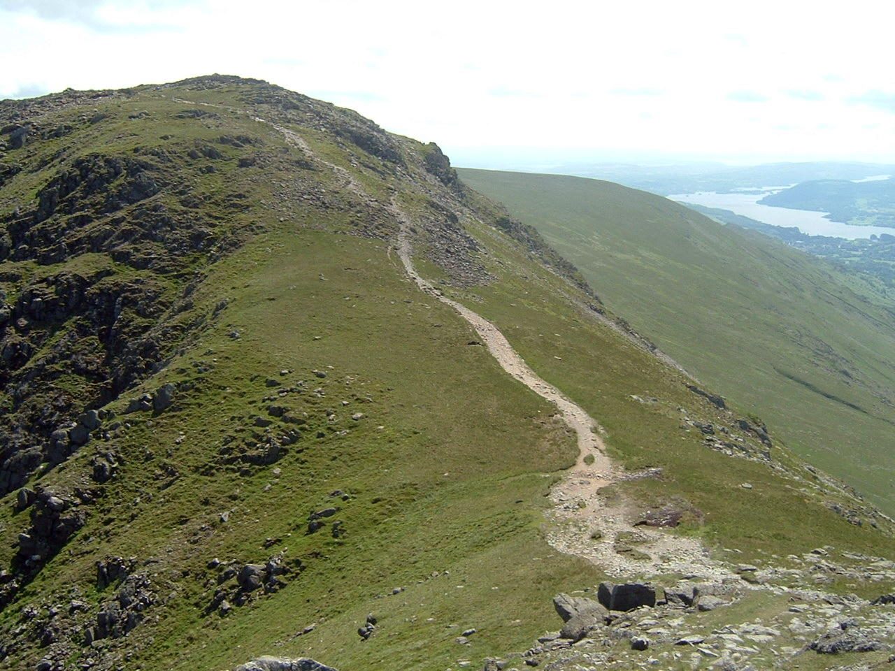
An eight-top ridge circuit over Fairfield's 873m summit plateau, the classic Wainwright horseshoe above Ambleside.
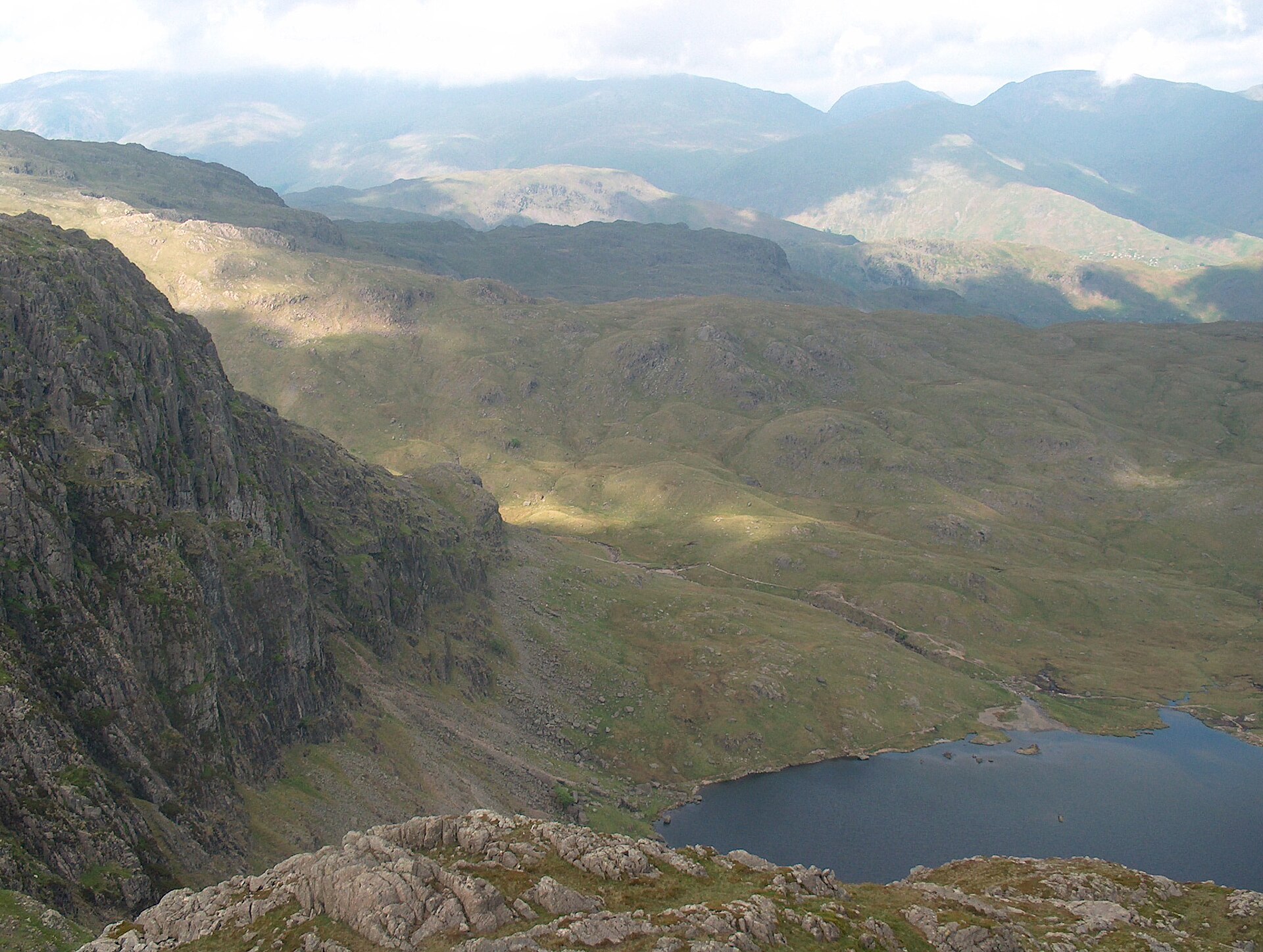
A six-top round of Great Langdale's skyline, up Pavey Ark by the North Rake from Stickle Tarn and over Pike of Stickle and Harrison Stickle.
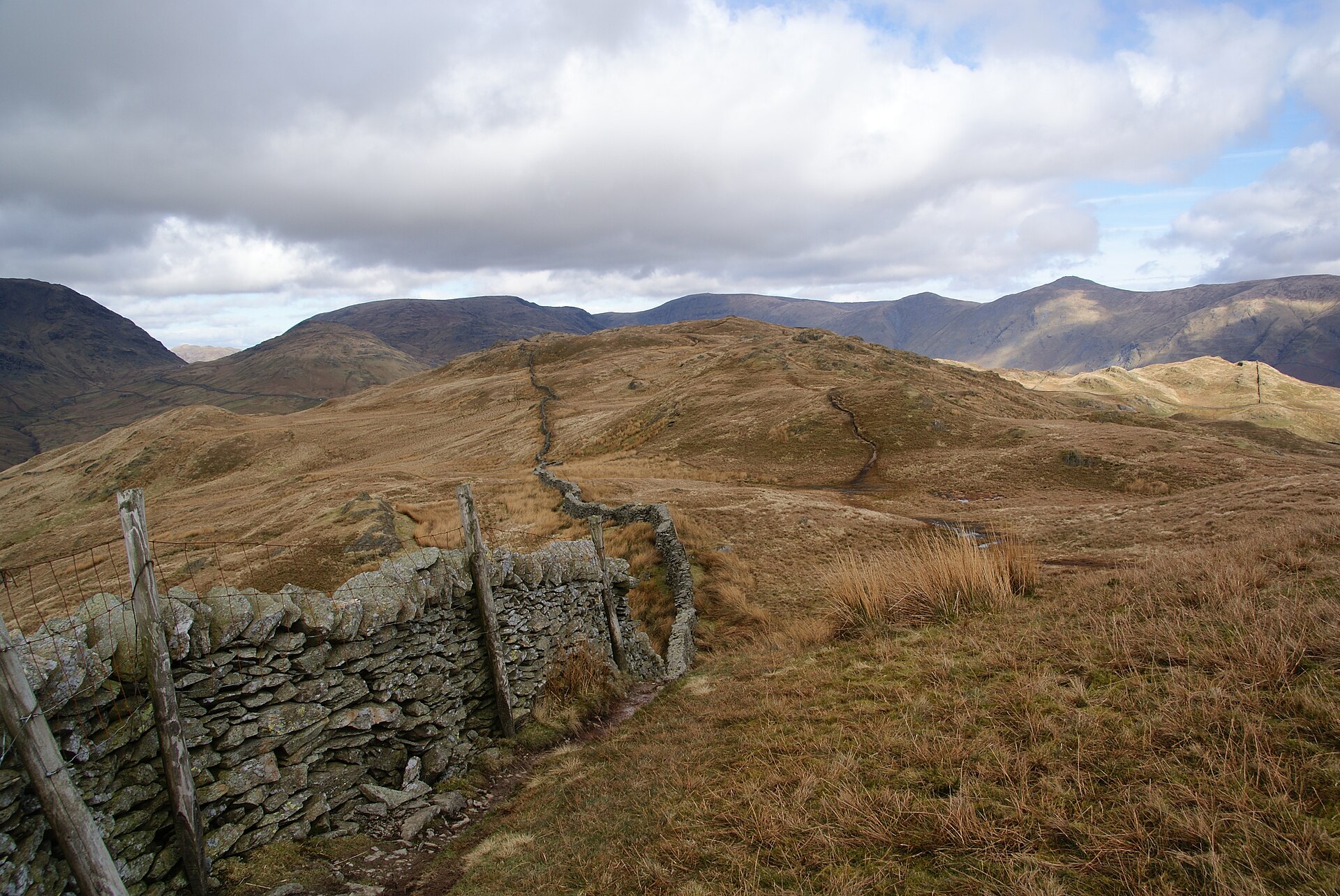
A steep climb straight from Ambleside to a summit with one of the best valley views in the central Lakes, often circled via Troutbeck.
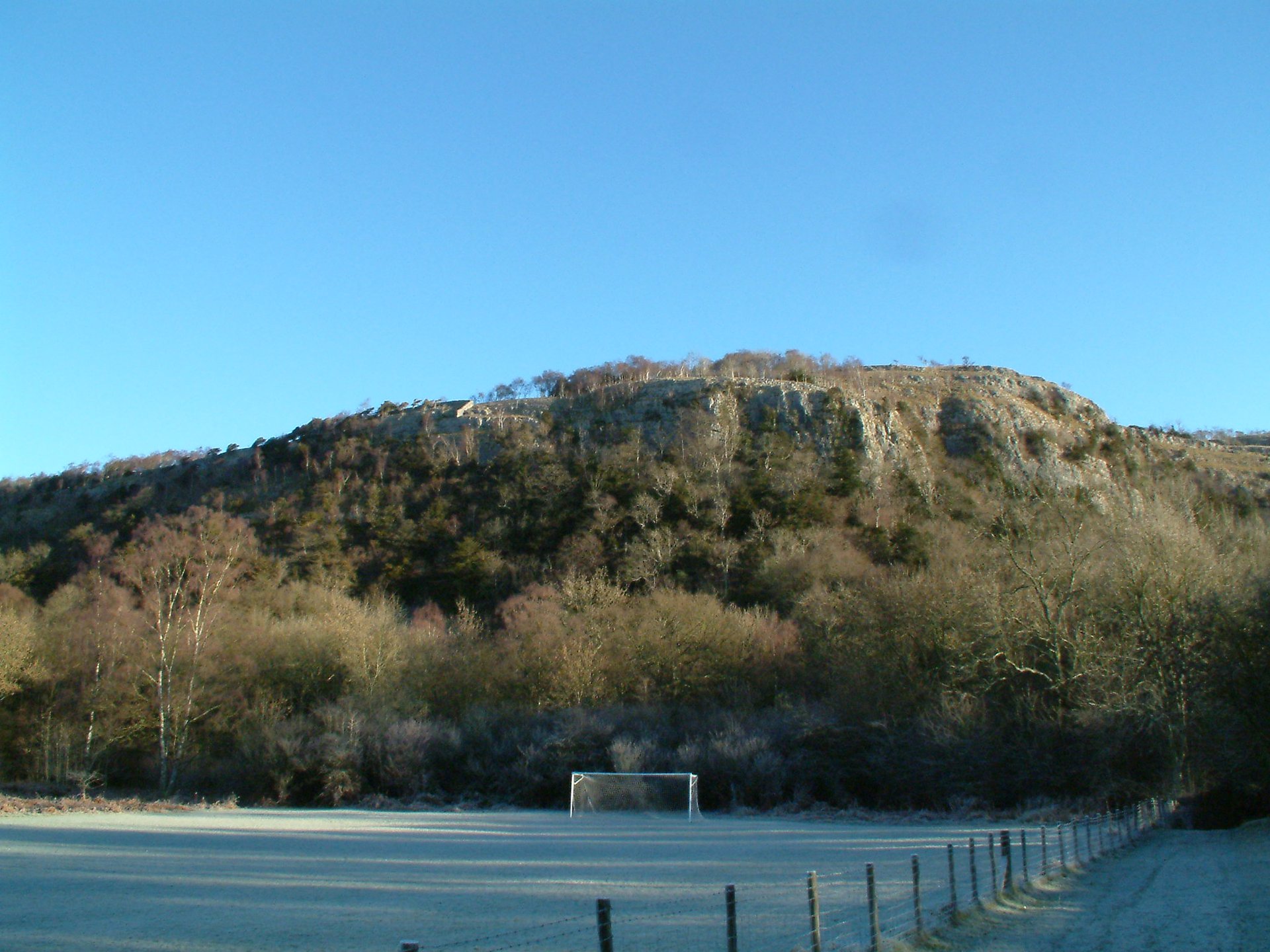
A 215m limestone hill and national nature reserve north of the A590, climbed from Mill Side to Lord's Seat and back through Witherslack woods.
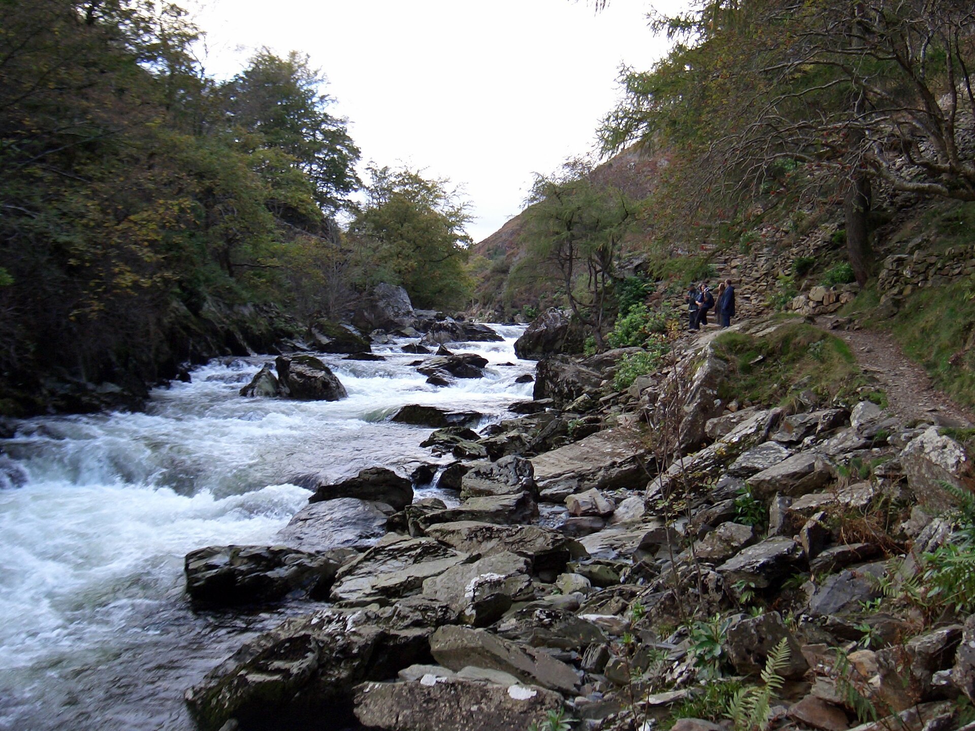
A riverside path through the wooded gorge of the Afon Glaslyn, 5km there and back from Beddgelert, and one of the easiest outings in the village.
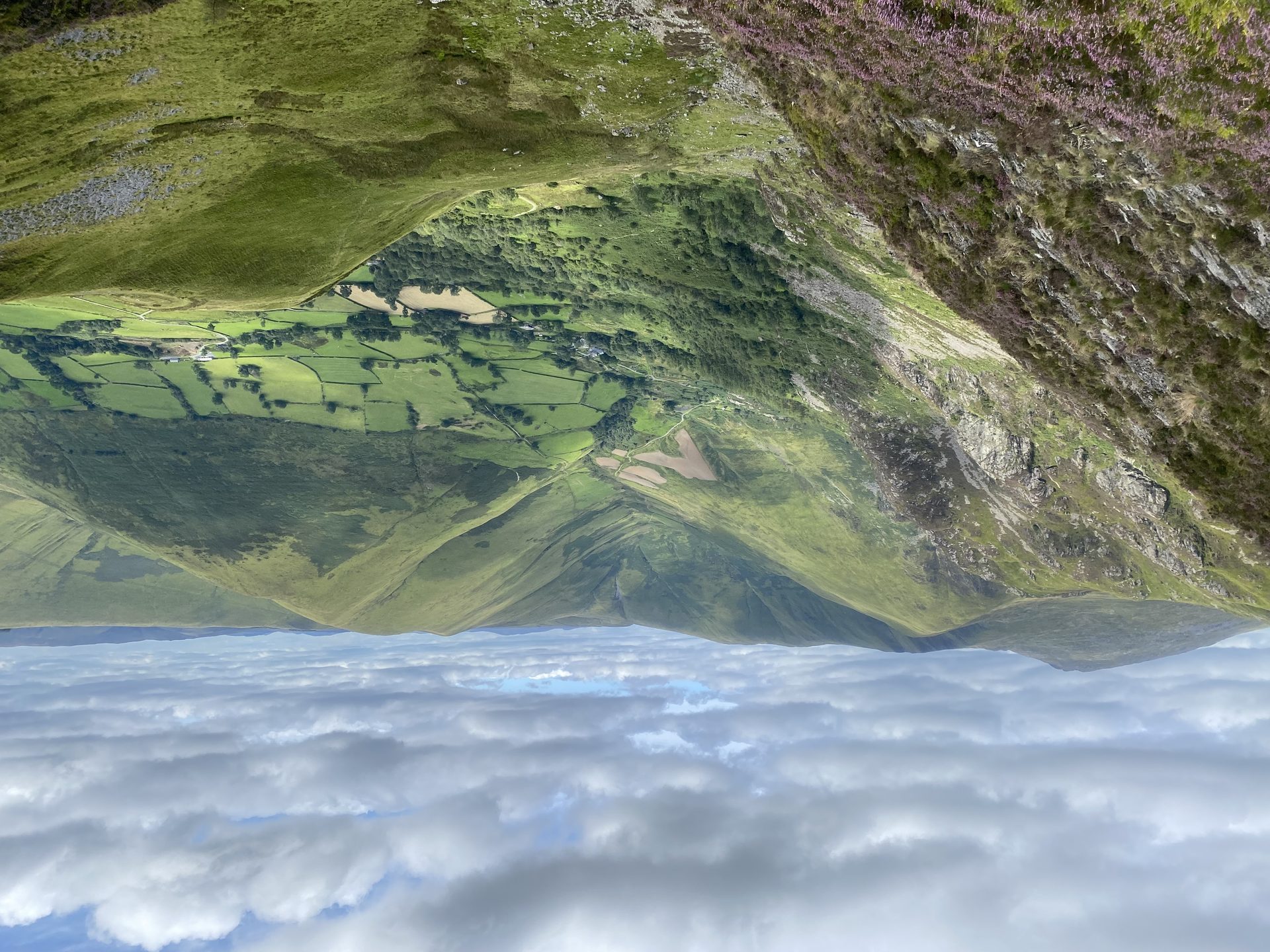
The highest mountain in Britain south of Yr Wyddfa, climbed from the head of Cwm Cywarch, with a cliff above Creiglyn Dyfi, the source of the Dyfi.
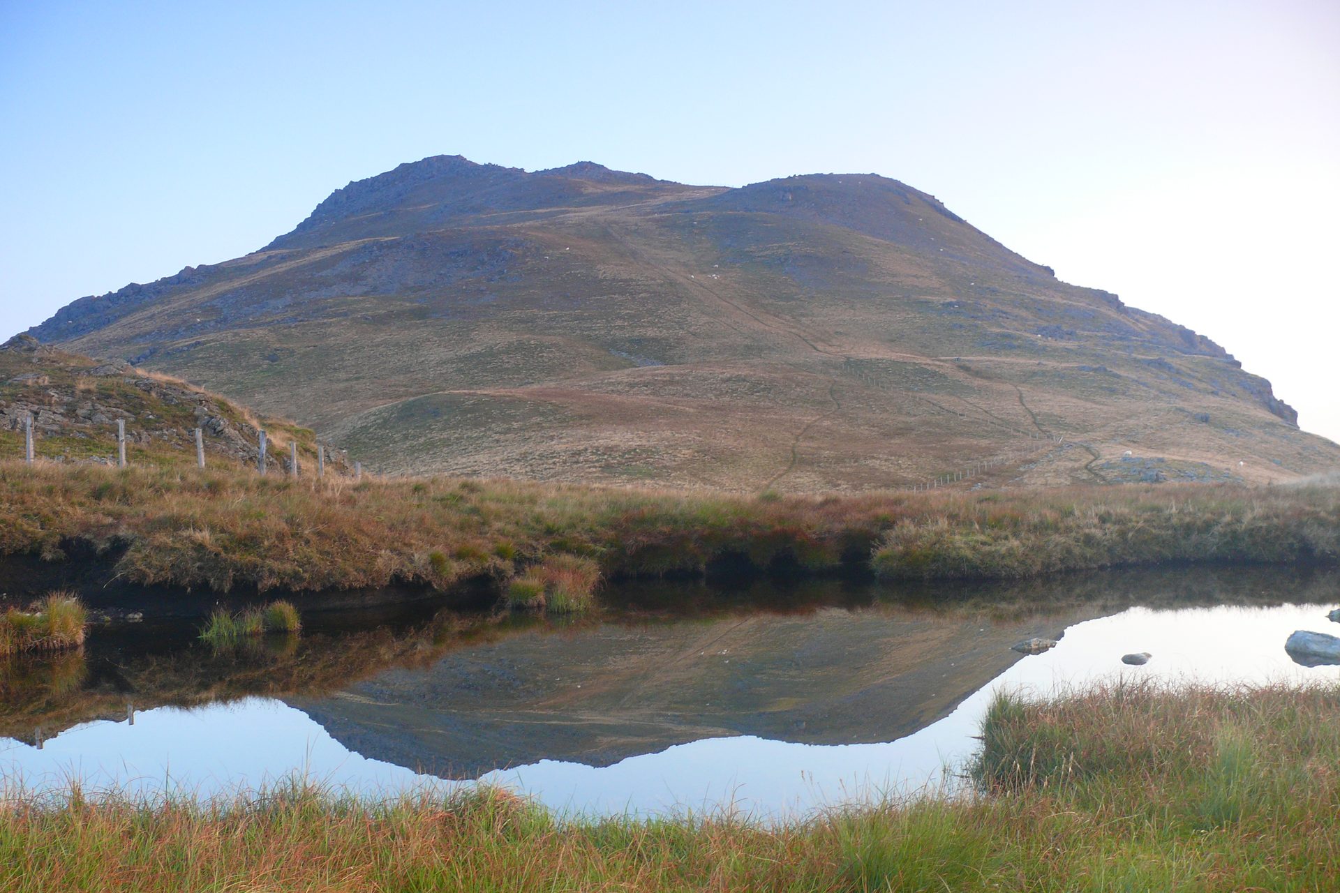
A lone 854m summit above Bala, reached past the reservoir Llyn Arenig Fawr to a trig point and the memorial to the crew of a 1943 Flying Fortress.
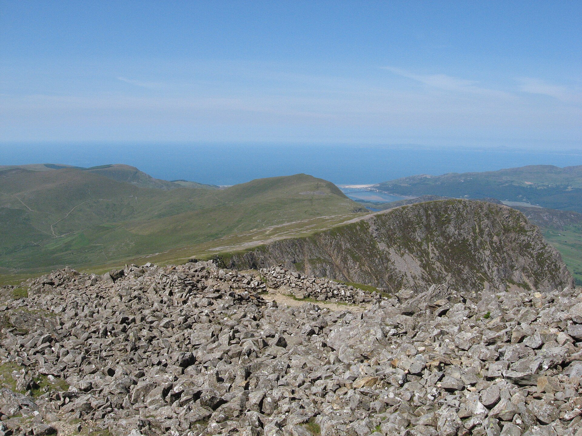
The steepest path up Cadair Idris and thought to be the shortest, past the corrie lake Llyn Cau to the summit, Penygadair, at 893 metres.
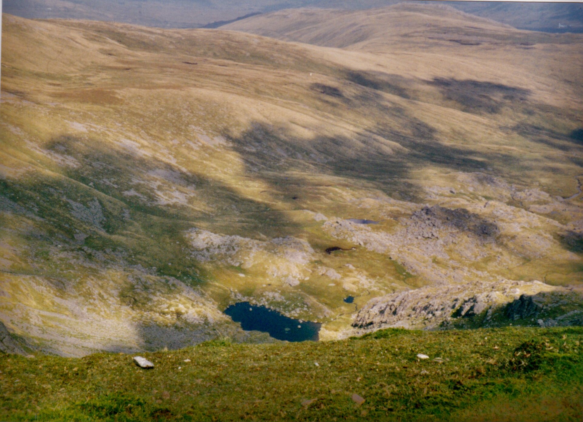
The Carneddau's 1,064m high point, second only to Yr Wyddfa in Wales by prominence, on a long ridge day from the A5 near Ogwen.
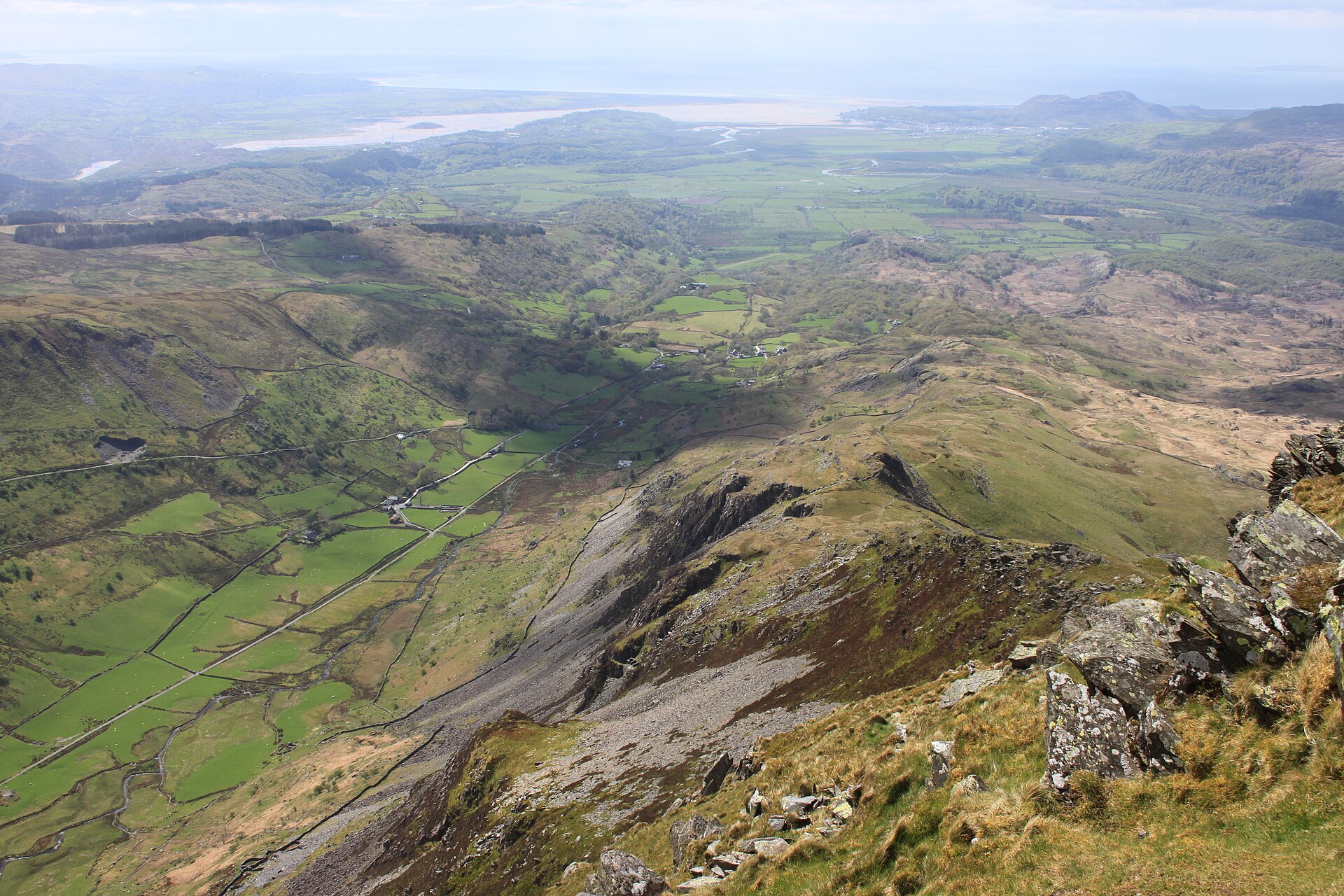
A pyramid-shaped summit above Croesor, nicknamed the Welsh Matterhorn, climbed by a steep path with short scrambles near the top.
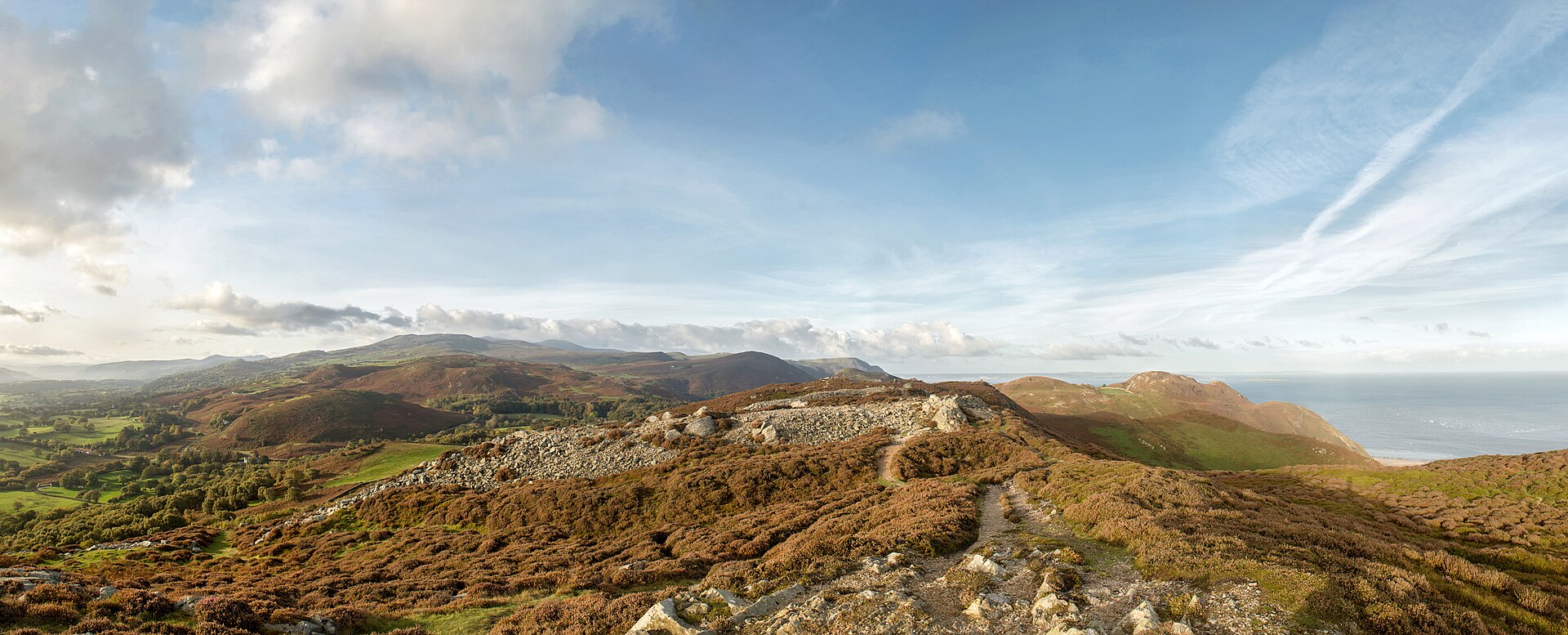
An Iron Age hillfort tops this small summit above Conwy, with views to Anglesey, the estuary and the Carneddau foothills.
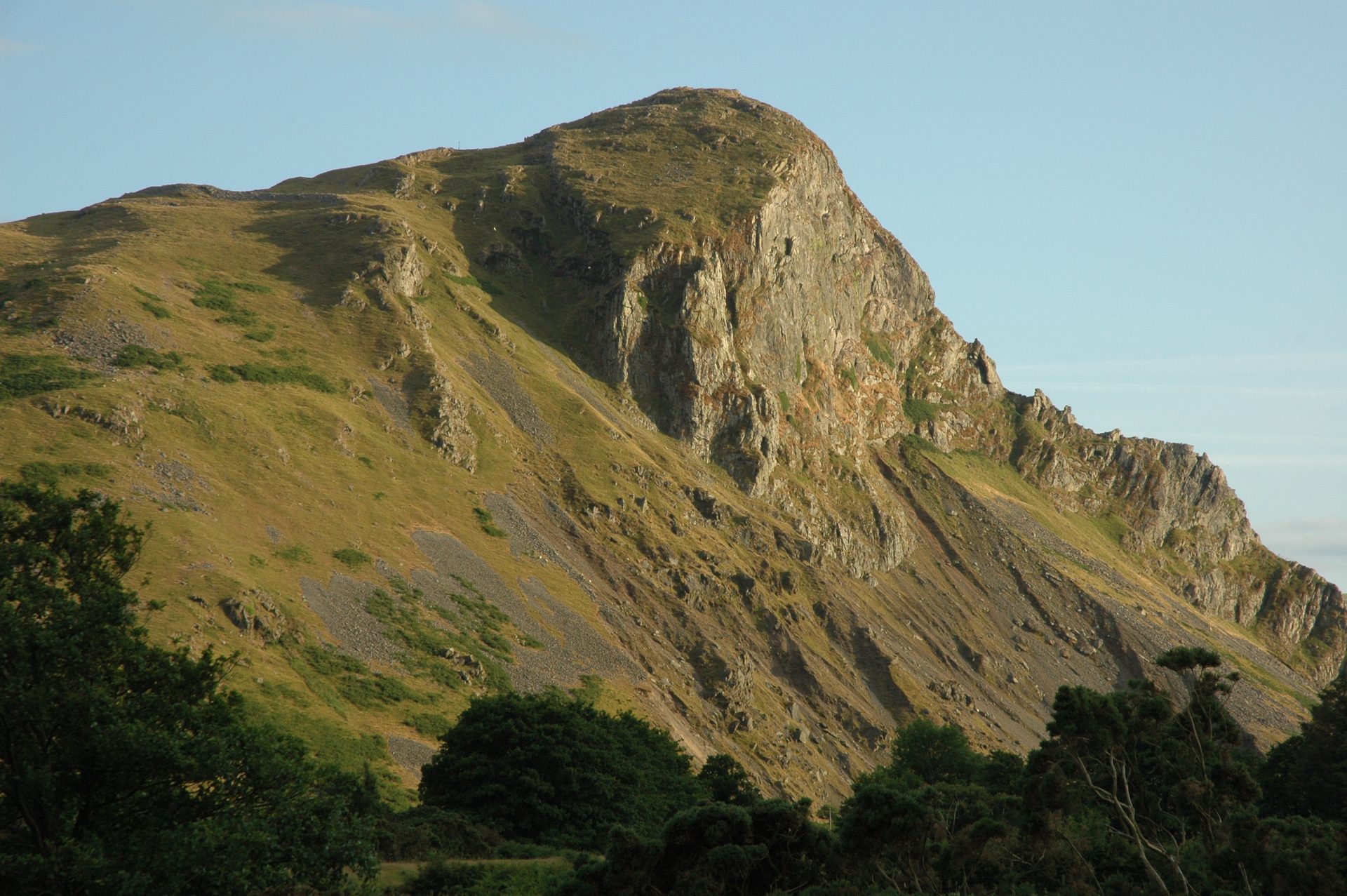
A 258m crag in the Dysynni valley with an Iron Age hillfort on top and the largest inland cormorant colony in Wales, climbed in an hour or two.
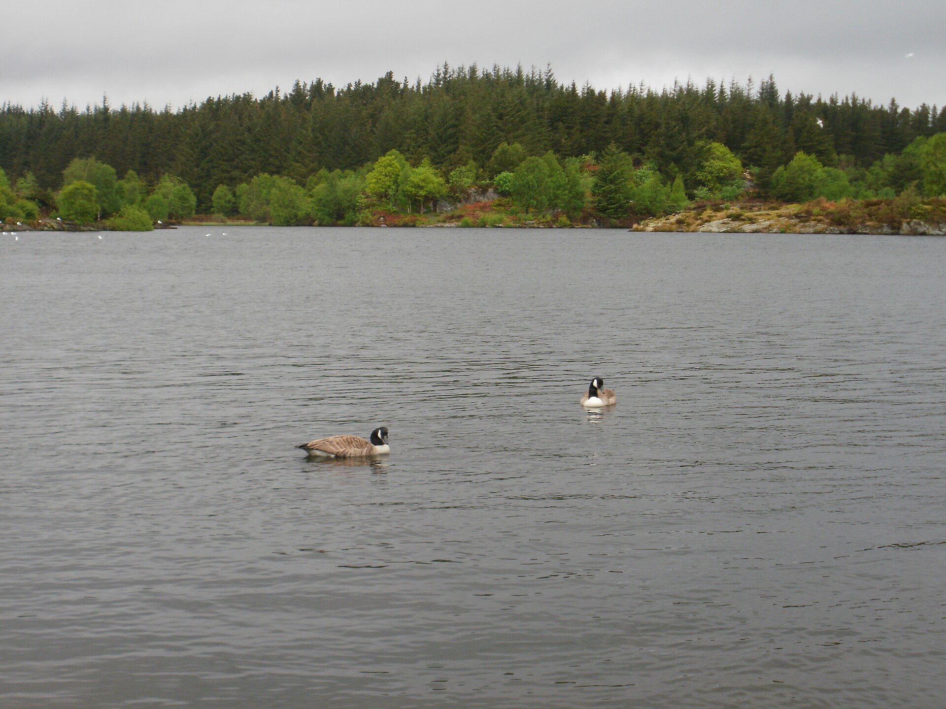
A reservoir lake in Gwydir Forest above Betws-y-Coed, reached by a steep climb from the village through mixed woodland.
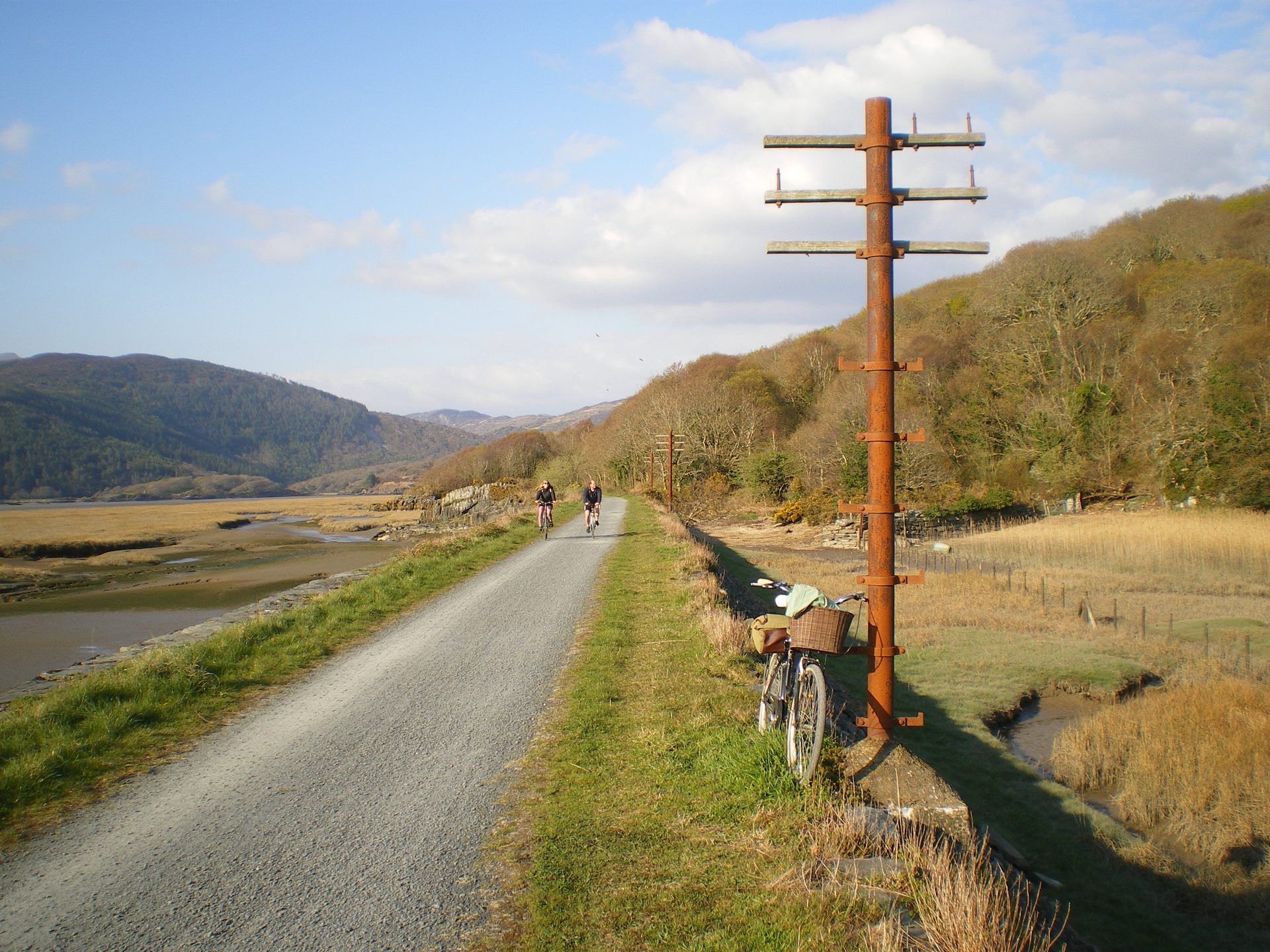
A flat, fifteen-kilometre trail along a disused railway line beside the Mawddach estuary, linking Barmouth to Dolgellau.
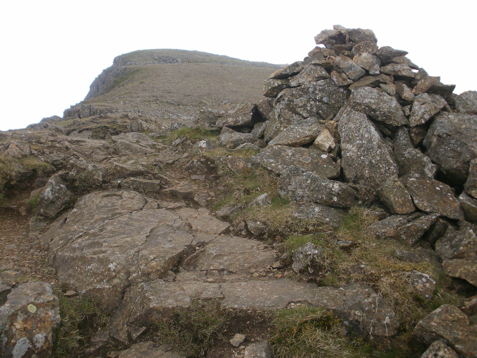
A steady mountain ascent directly above Beddgelert, quieter than Yr Wyddfa, with views over Cardigan Bay and the Nantlle Ridge.
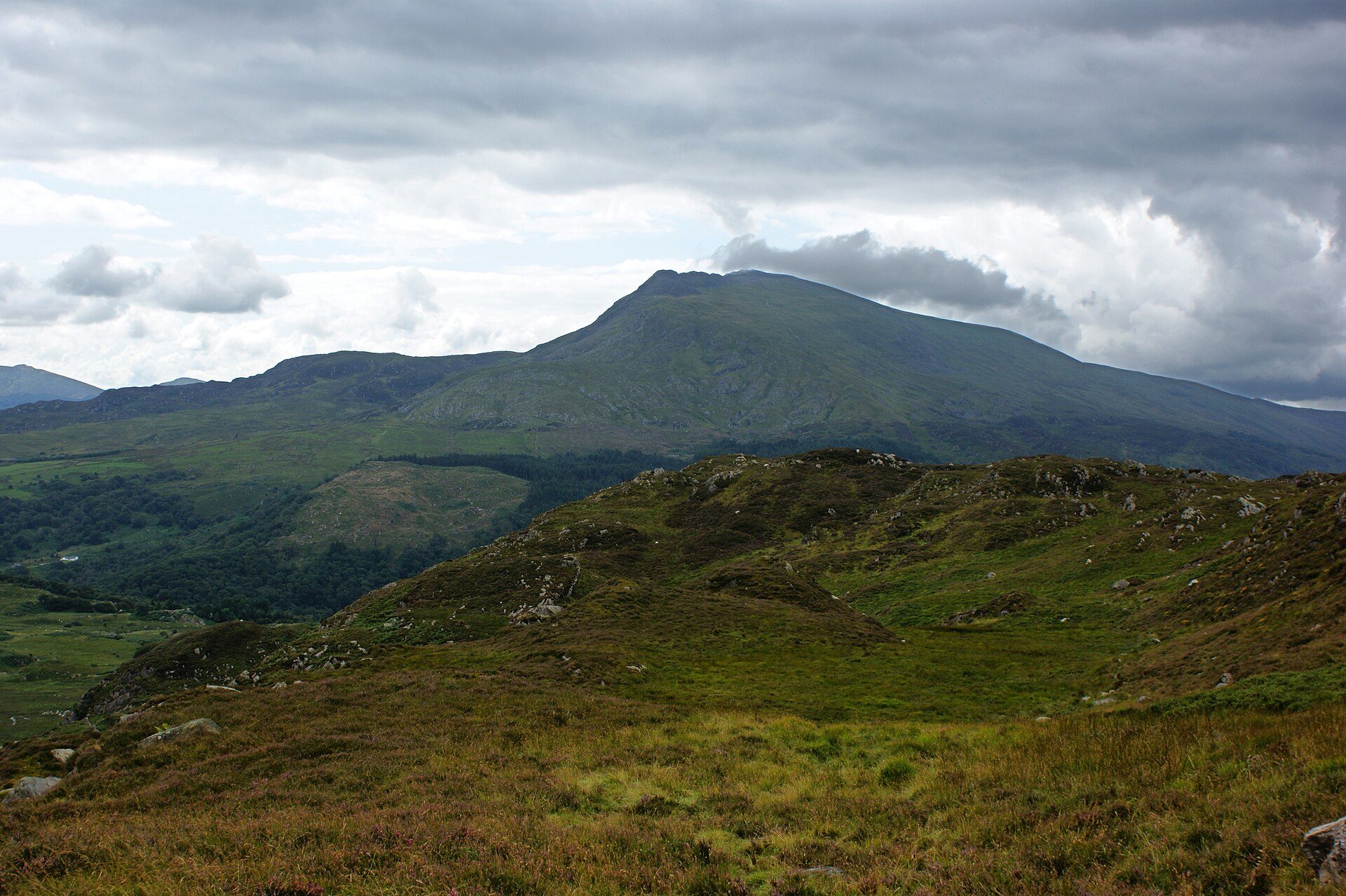
The 872m highest summit of the Moelwynion, climbed from Pont Cyfyng past Llyn y Foel with a short easy scramble at the top.
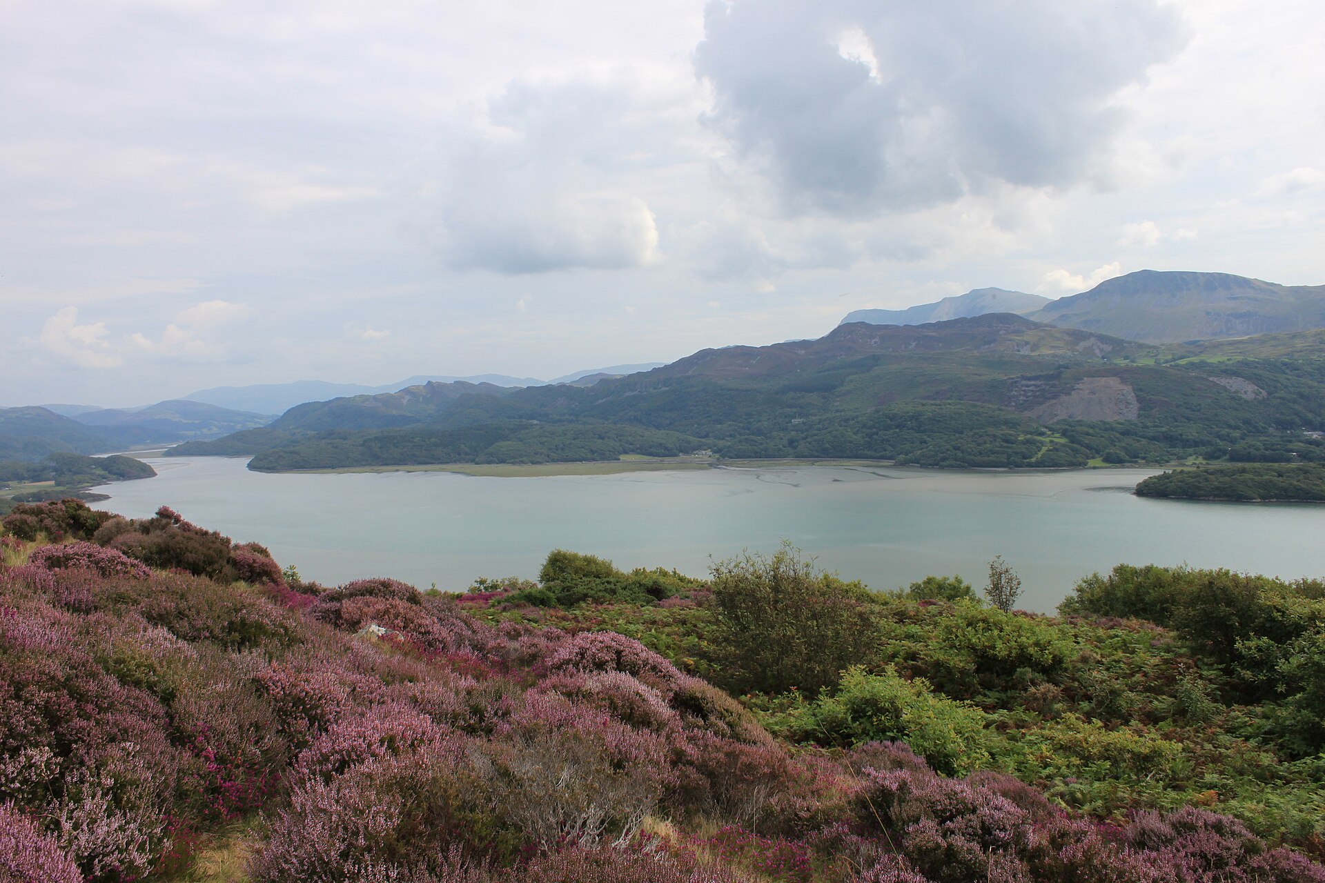
A viewpoint walk above Barmouth through woodland, past an old Victorian garden, to a view over the Mawddach estuary and Cadair Idris.
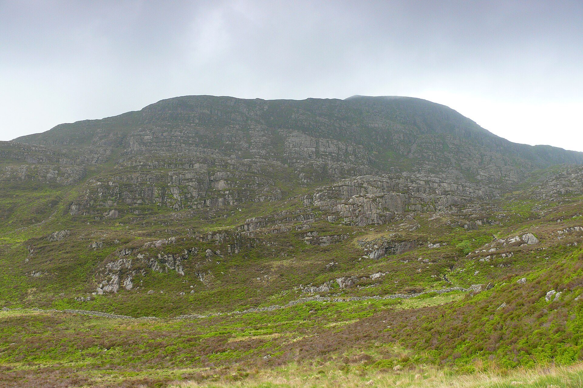
A 720m Rhinogydd summit reached by the medieval Roman Steps from Cwm Bychan and a pathless descent past Gloyw Lyn.
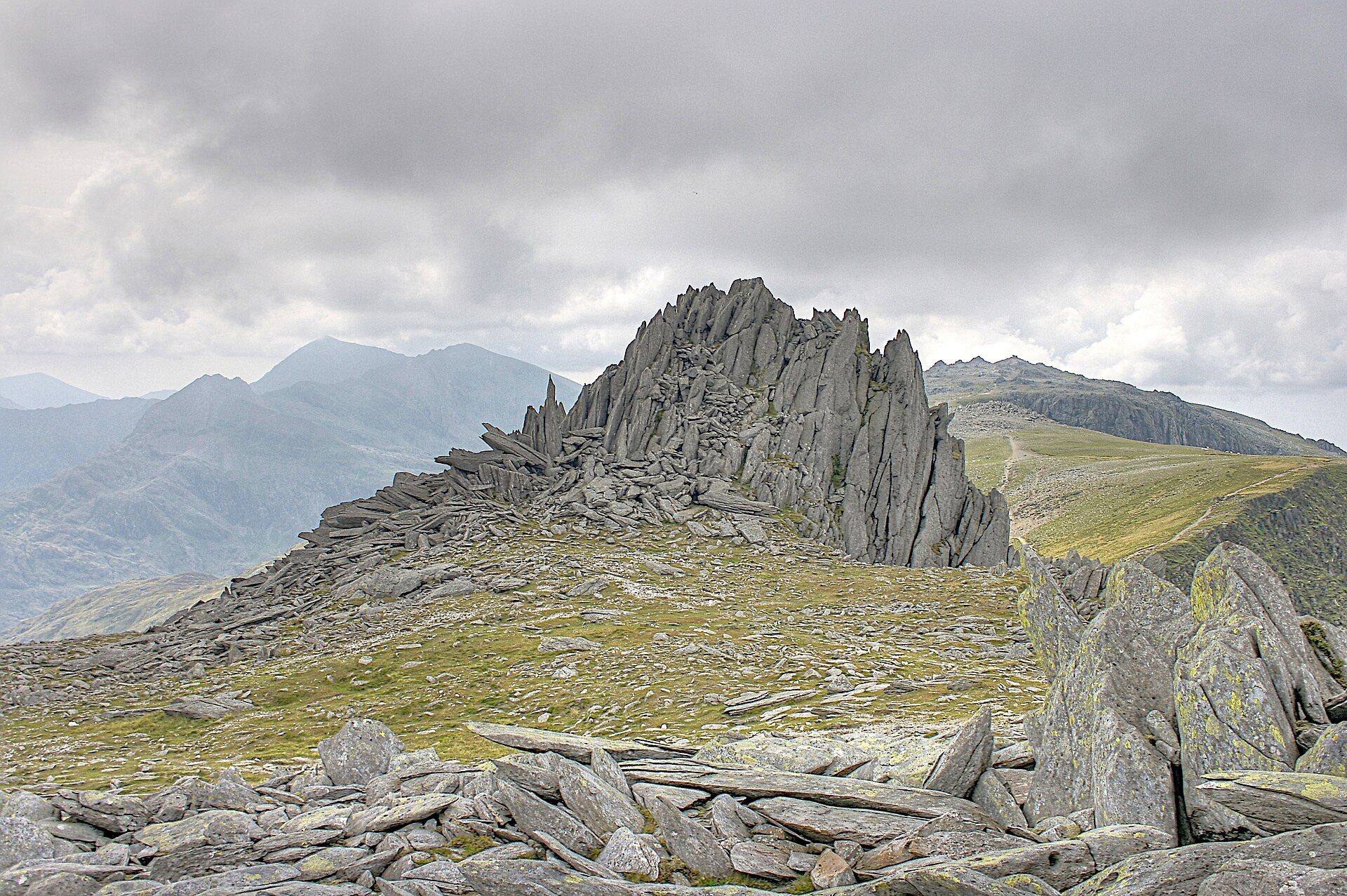
A boulder-strewn horseshoe over Glyder Fawr and Glyder Fach above Cwm Idwal, descending past the Devil's Kitchen.
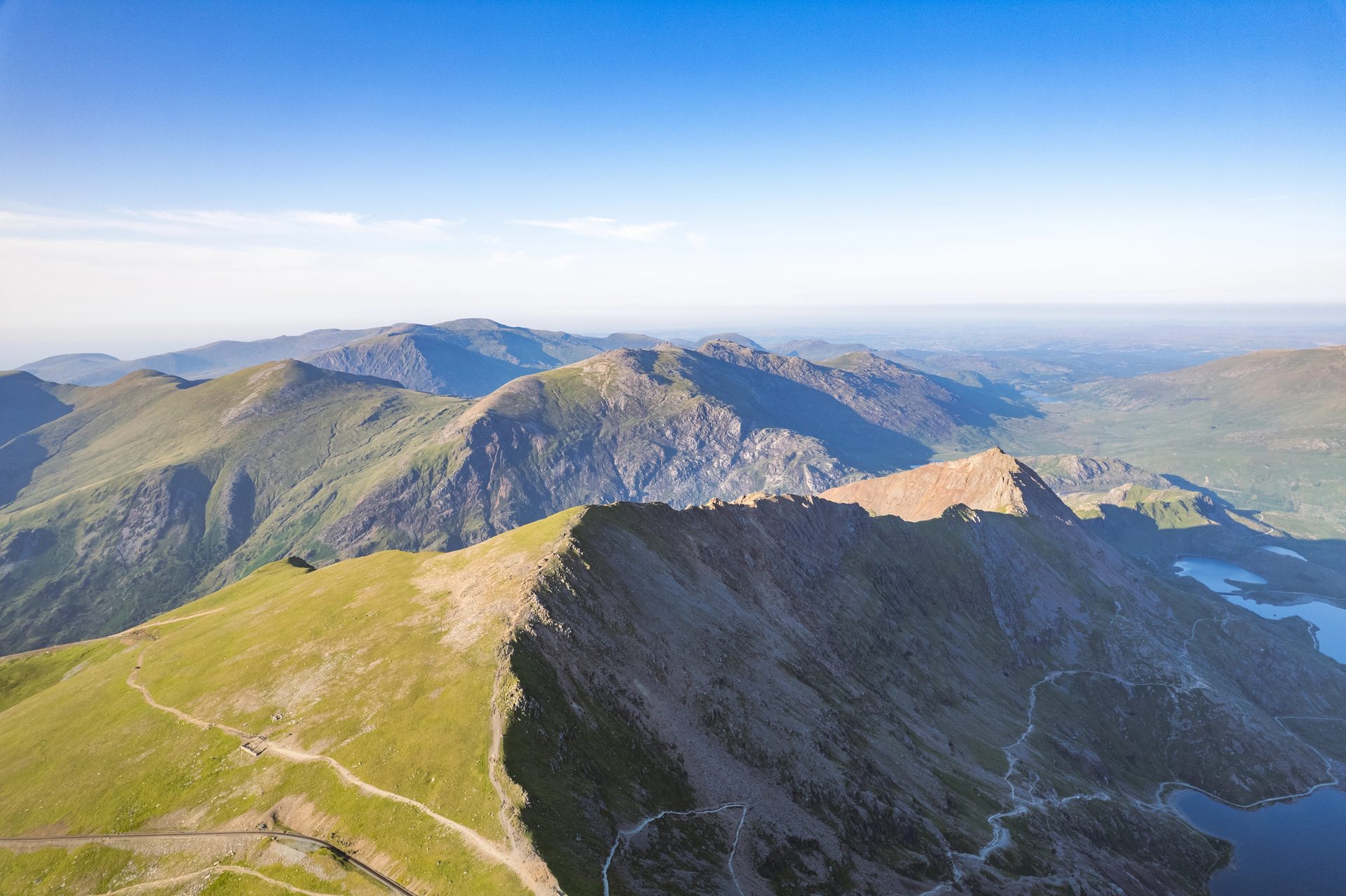
A Grade 1 scramble over Crib Goch's knife-edge ridge and three more summits, 12.2km with 1,152m of ascent from Pen-y-Pass.
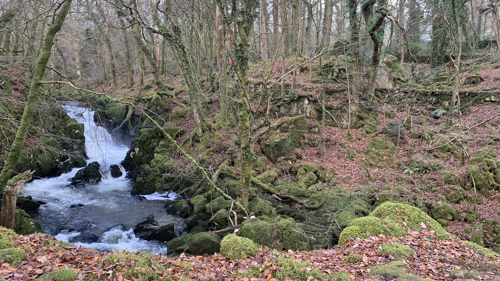
A short circular walk beside cascades on the Afon Clywedog near Dolgellau, through native woodland with old industrial remains.
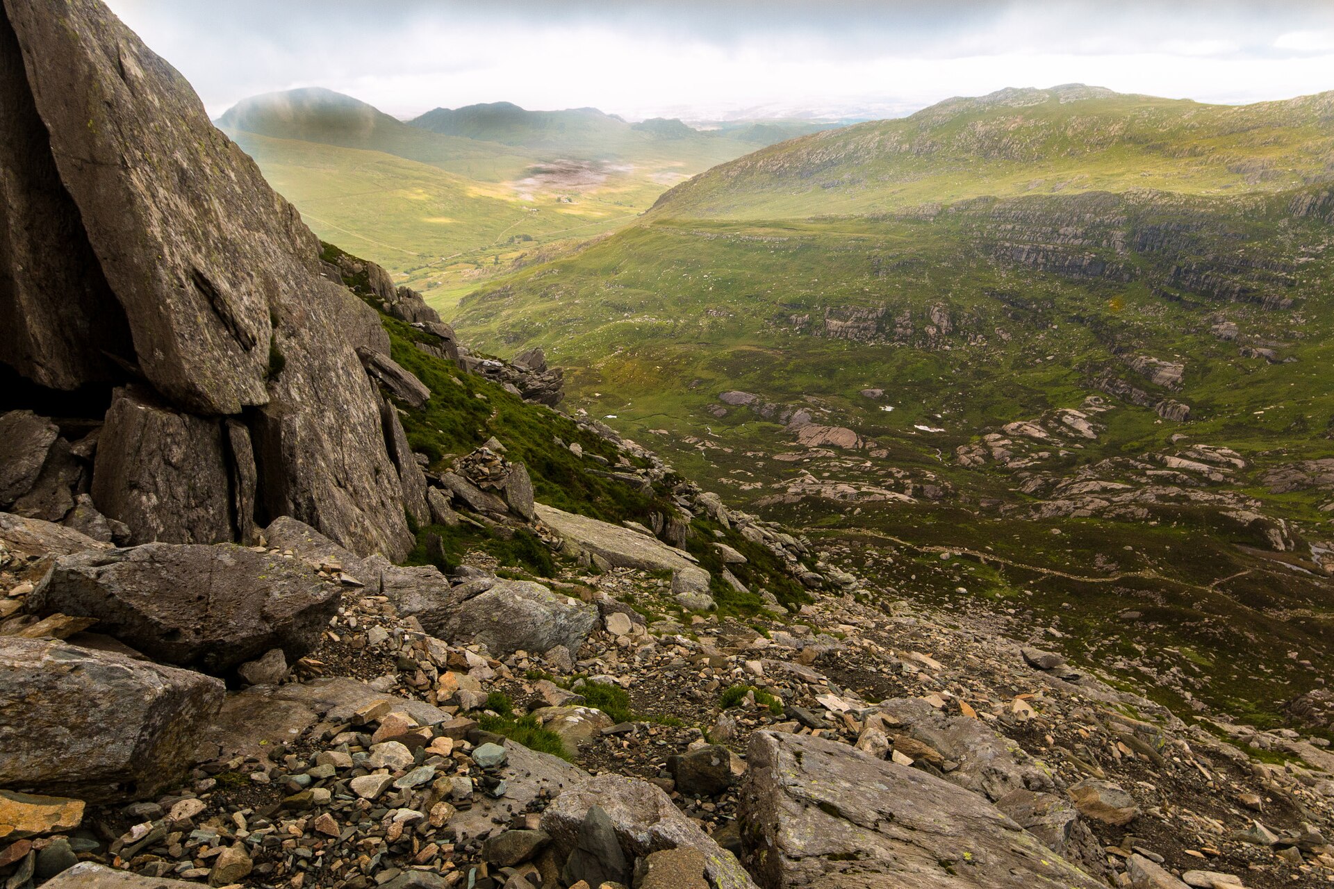
A grade 1 scramble up Tryfan's North Ridge above Llyn Ogwen to the twin summit stones known as Adam and Eve.
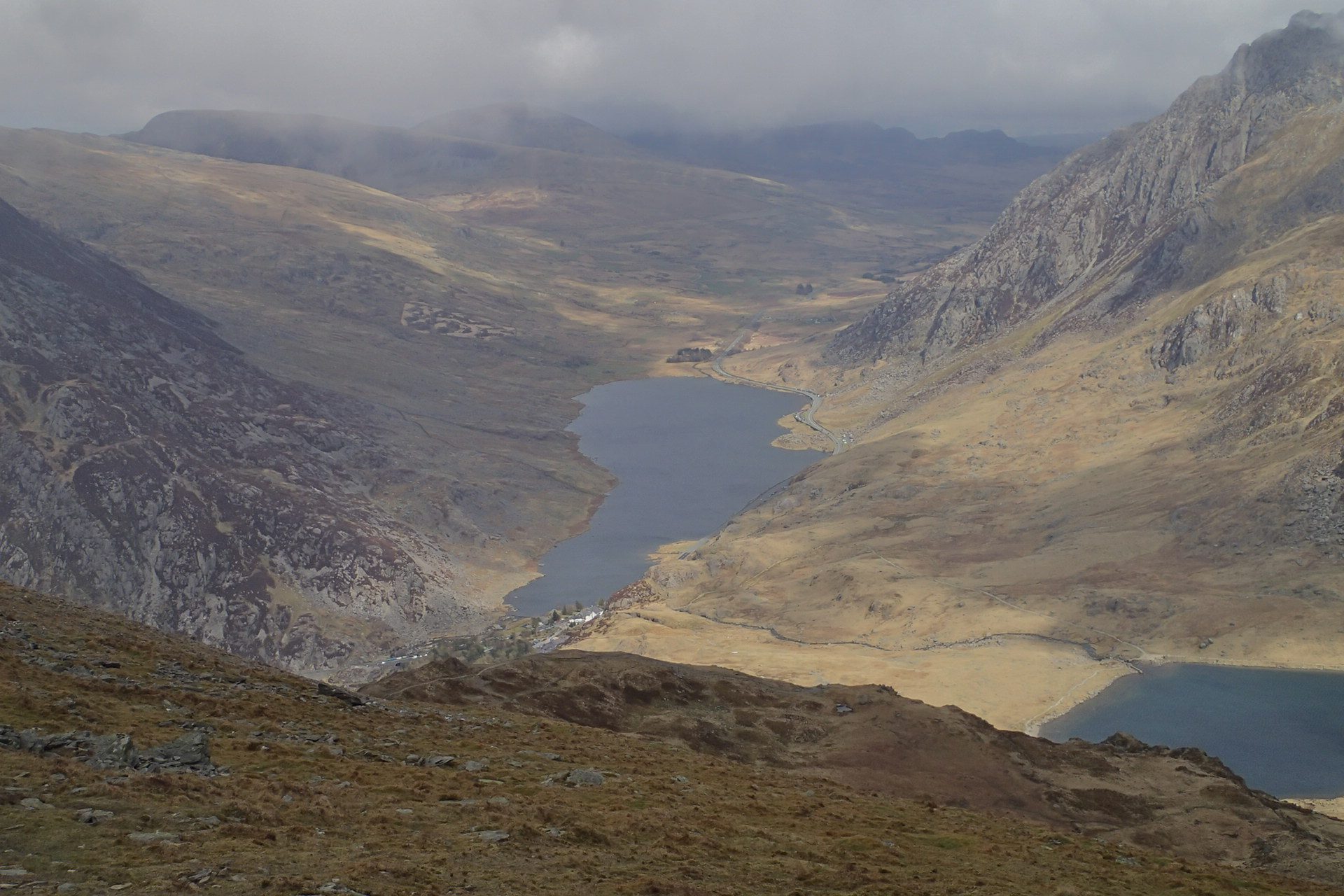
A 947m Welsh 3000 climbed from Ogwen past Llyn Idwal and the Devil's Kitchen by a steep path with no scrambling.
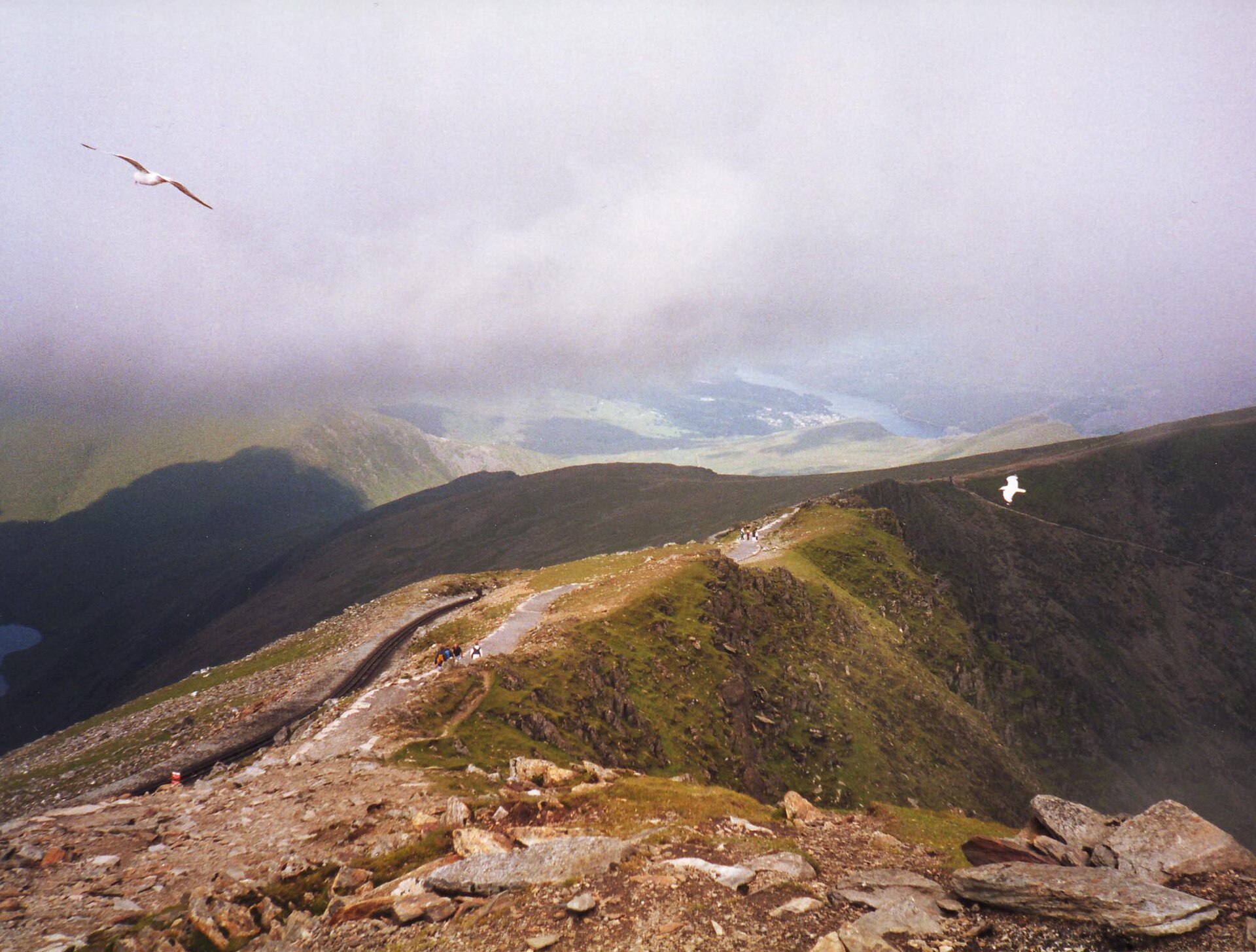
The longest of Yr Wyddfa's six paths at 14.5km, and the least technical, following the mountain railway from Llanberis to the summit.
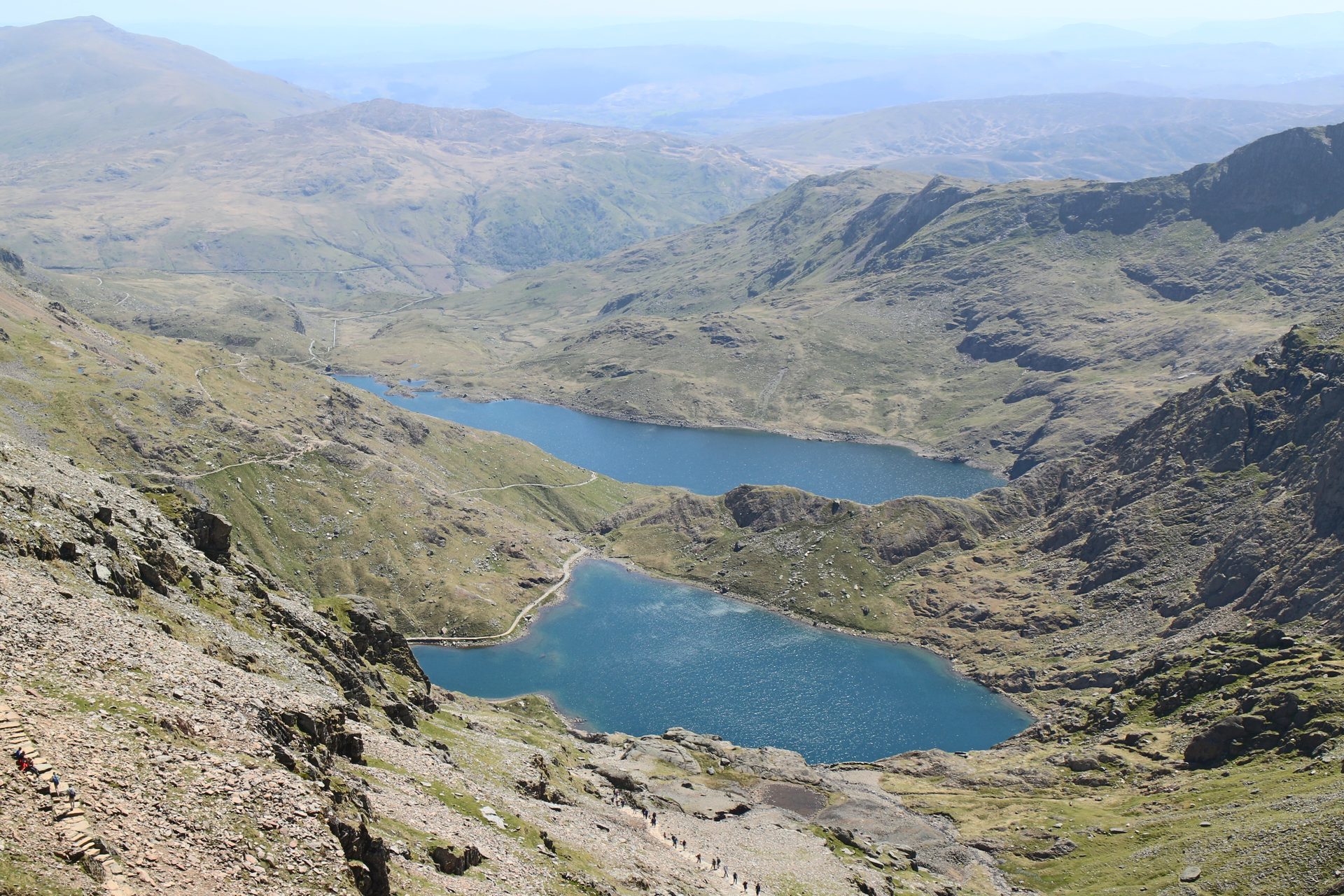
The shortest of Yr Wyddfa's six main paths, a steep, direct line from Pen-y-Pass past Llyn Llydaw to the summit ridge at Bwlch Glas.
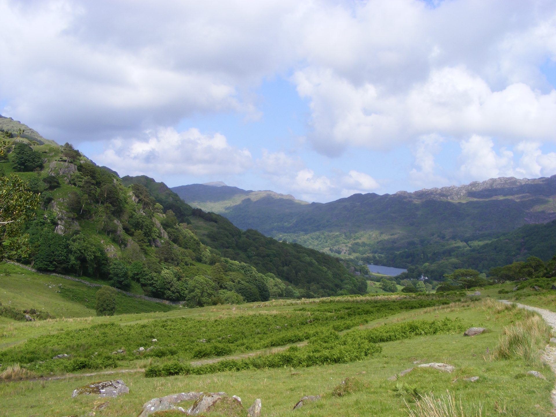
The lowest-starting of Yr Wyddfa's six main paths and Britain's first designated footpath, from Nant Gwynant past old slate workings.
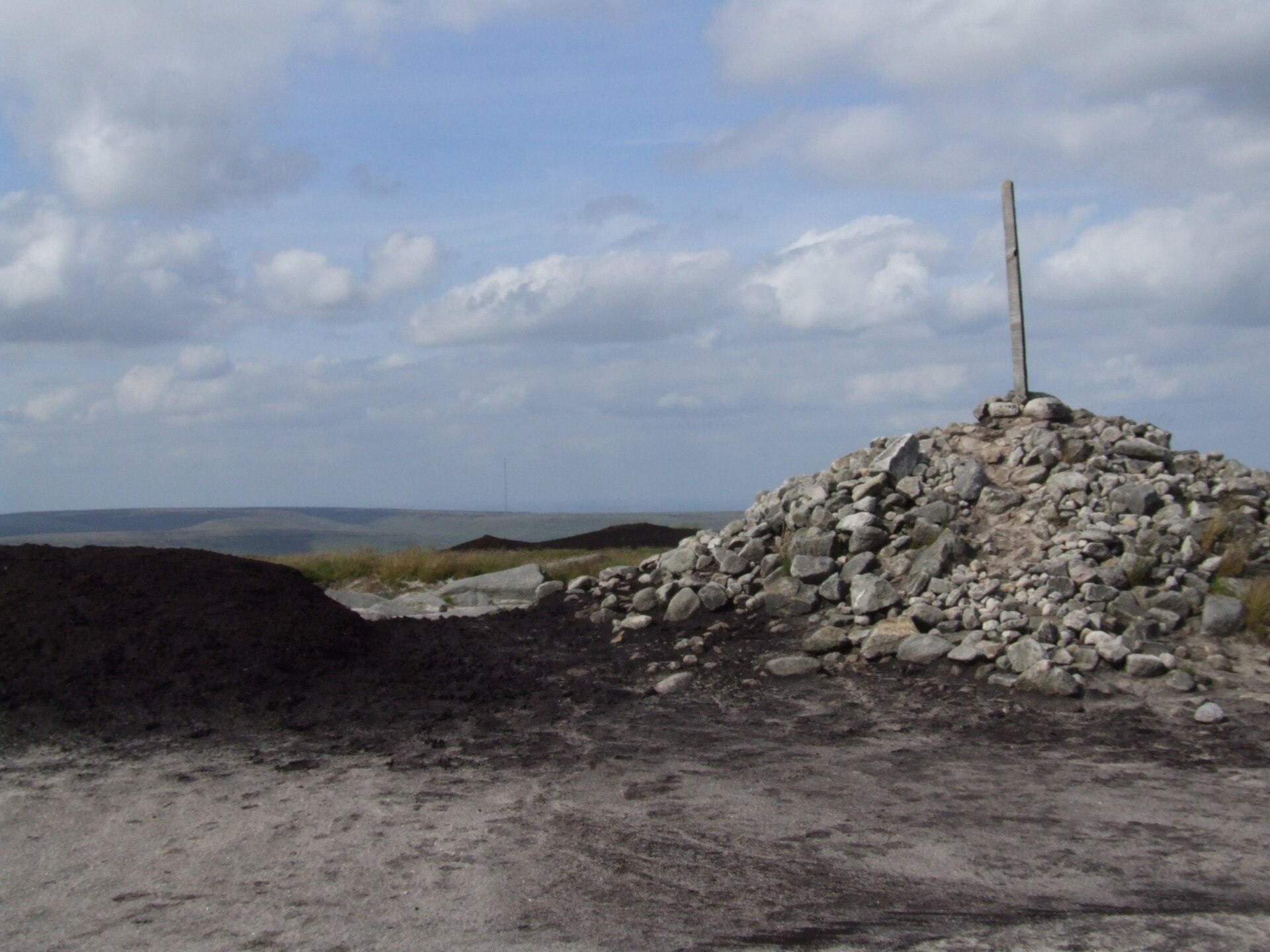
A rough moorland circuit from the Snake Pass onto Bleaklow Head, crossing Doctor's Gate to the wrecked B-29 bomber at Higher Shelf Stones.
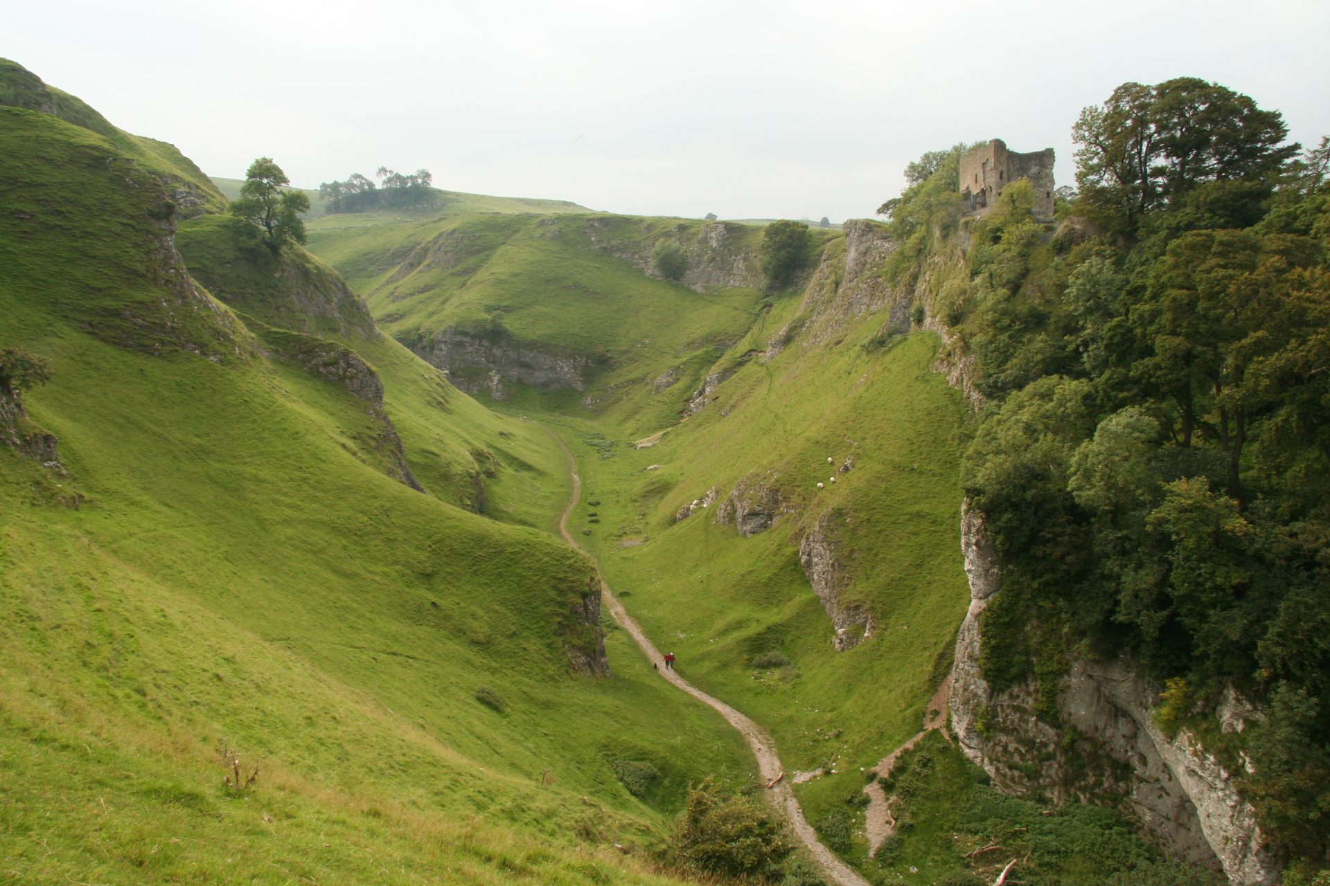
A short, steep circular walk from Castleton up a dry limestone gorge, past Peveril Castle, in the Peak District's Hope Valley.
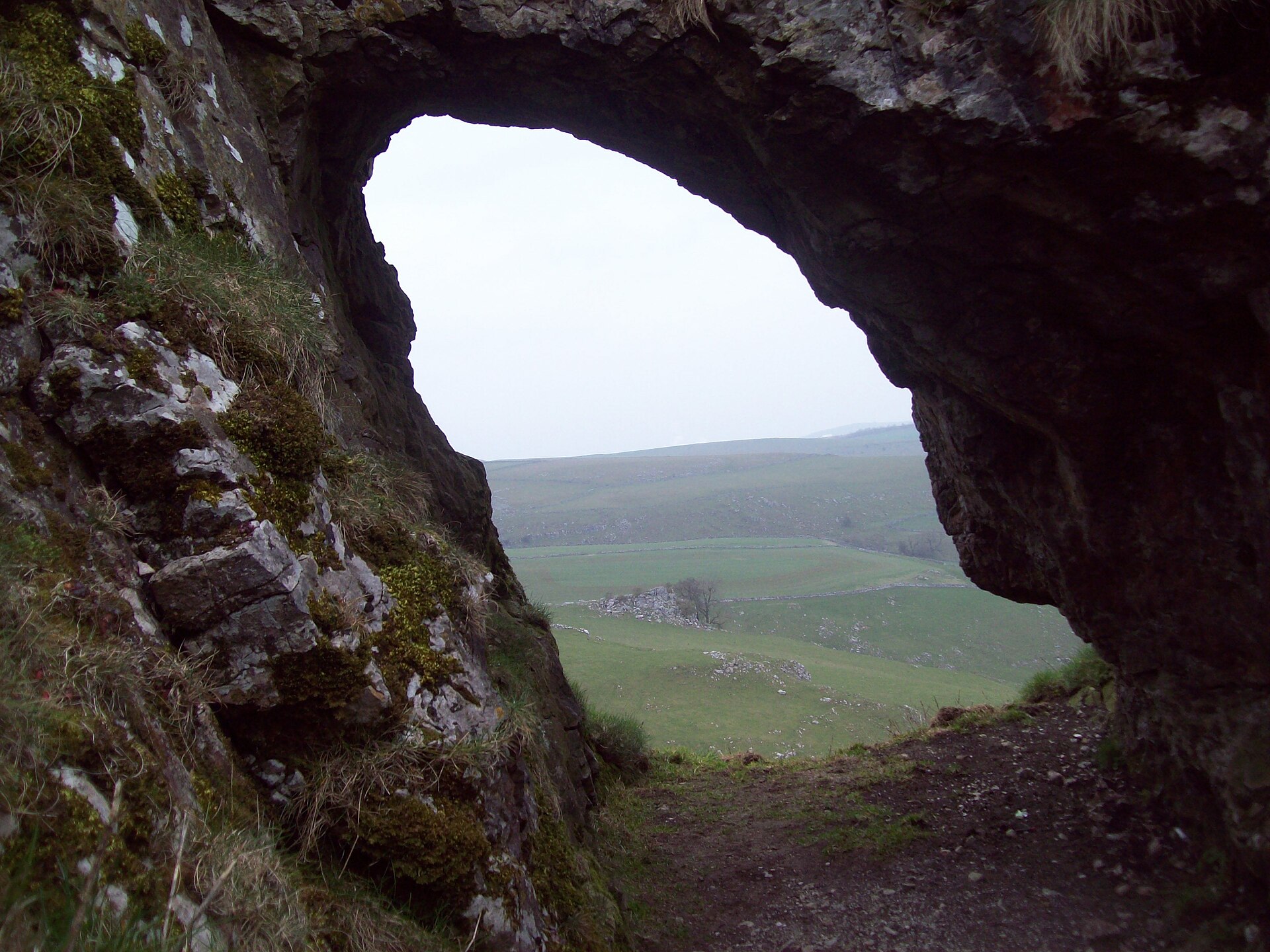
Two limestone reef knolls above the upper Dove, climbed as a 7km horseshoe from Hollinsclough with a scramble on Chrome Hill's narrow crest.
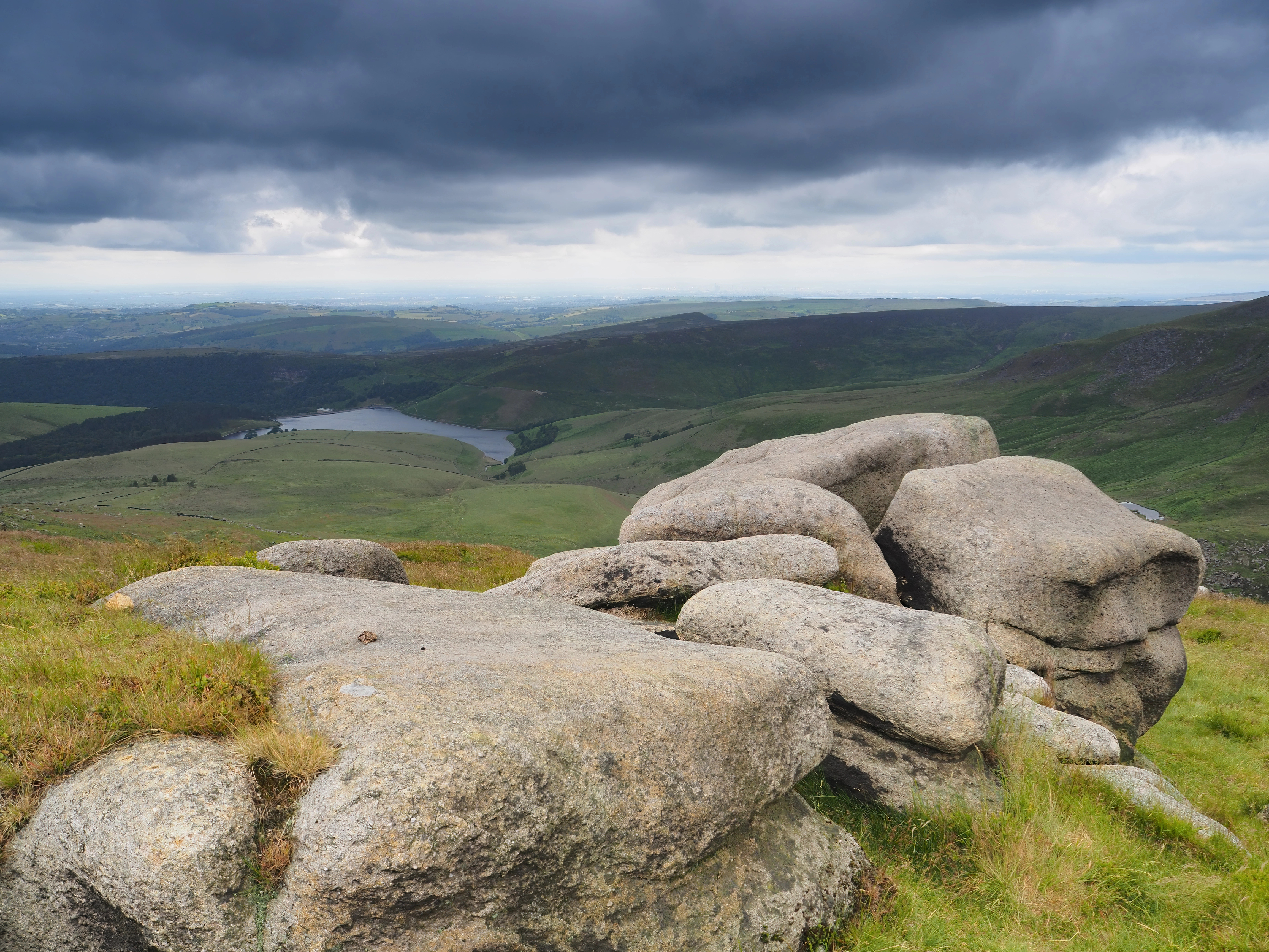
A hard circular walk from Edale onto the Kinder Scout plateau, ascending Grindsbrook Clough and returning via Jacob's Ladder.
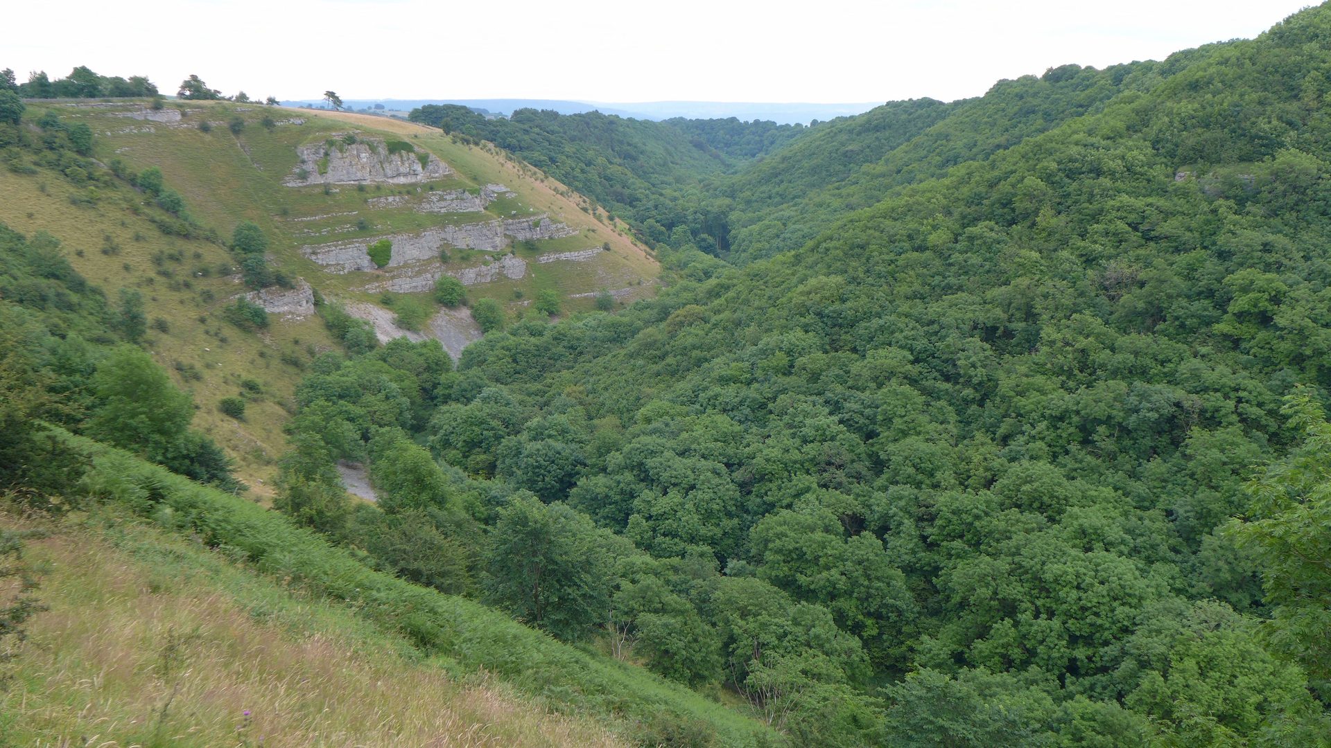
An easy circular walk from Over Haddon into Lathkill Dale, a National Nature Reserve on the River Lathkill.
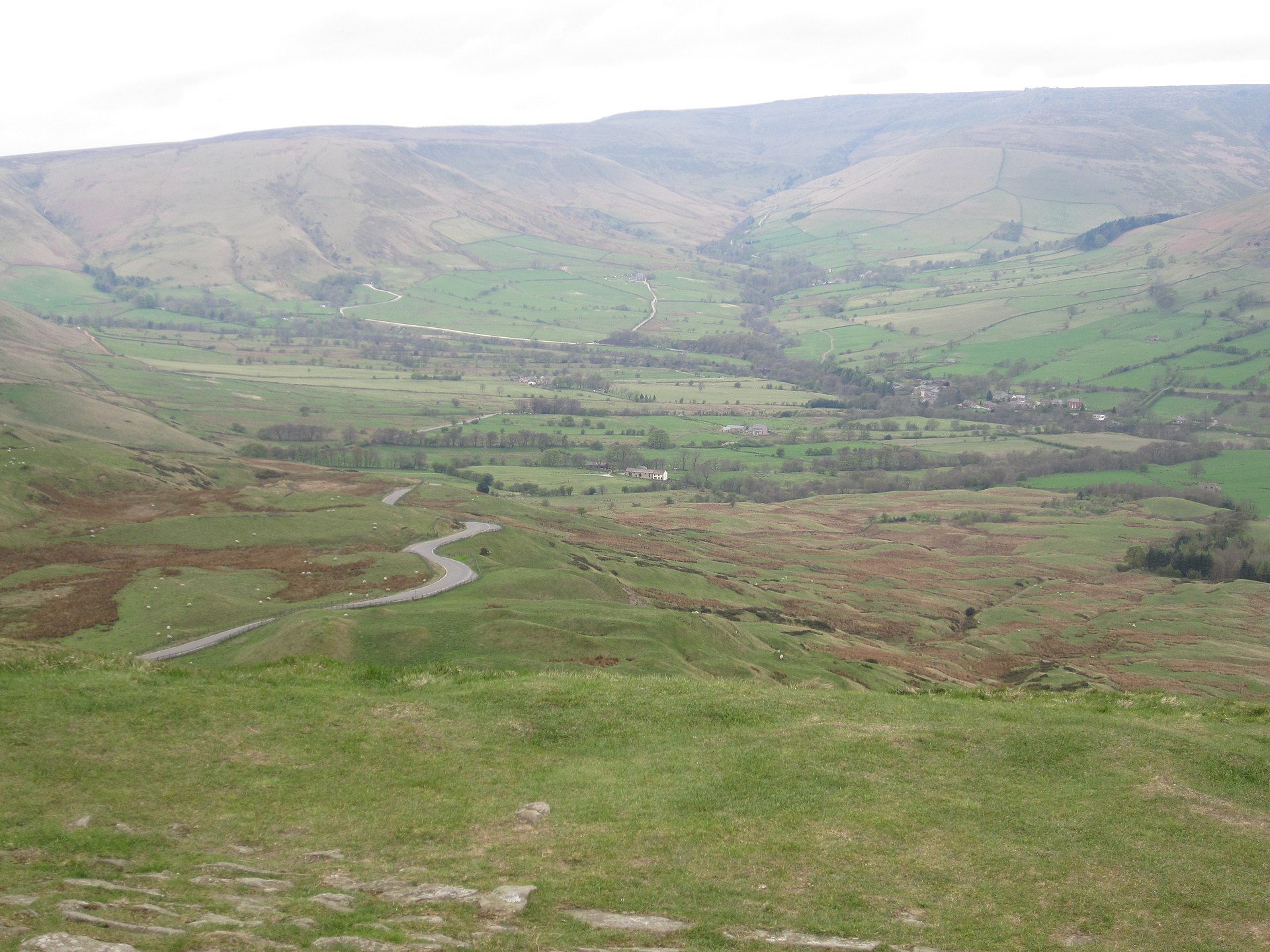
A circular walk onto Mam Tor's summit and along the start of the Great Ridge, including the abandoned Broken Road.
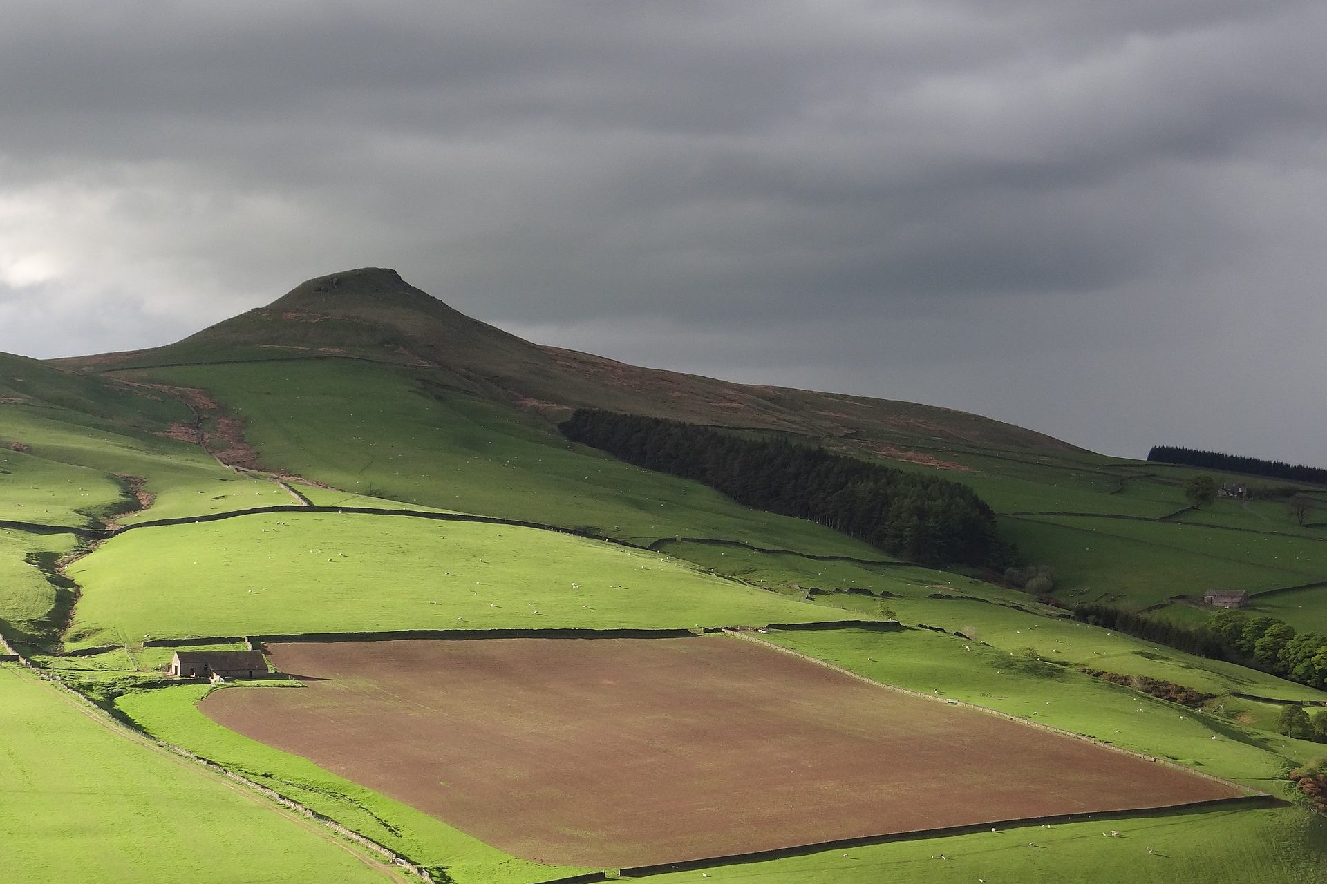
A 506m cone on the Cheshire edge of the Peak District, climbed from Trentabank through Macclesfield Forest in 4.9km.
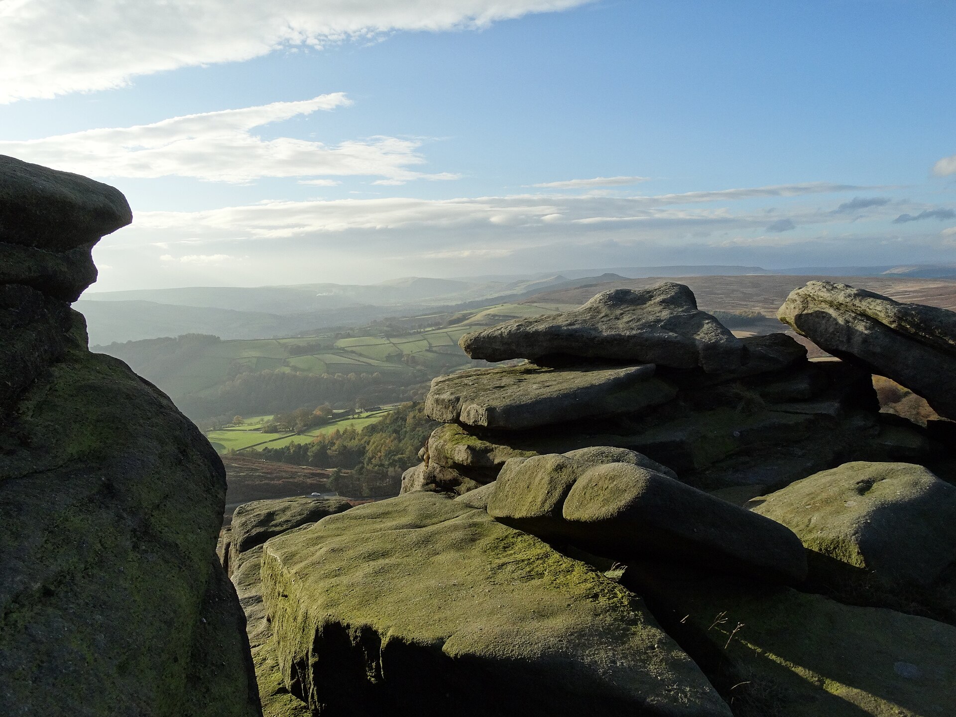
A circular walk along the top of Stanage Edge, the three-and-a-half-mile gritstone escarpment above Hathersage, taking in the High Neb trig point.
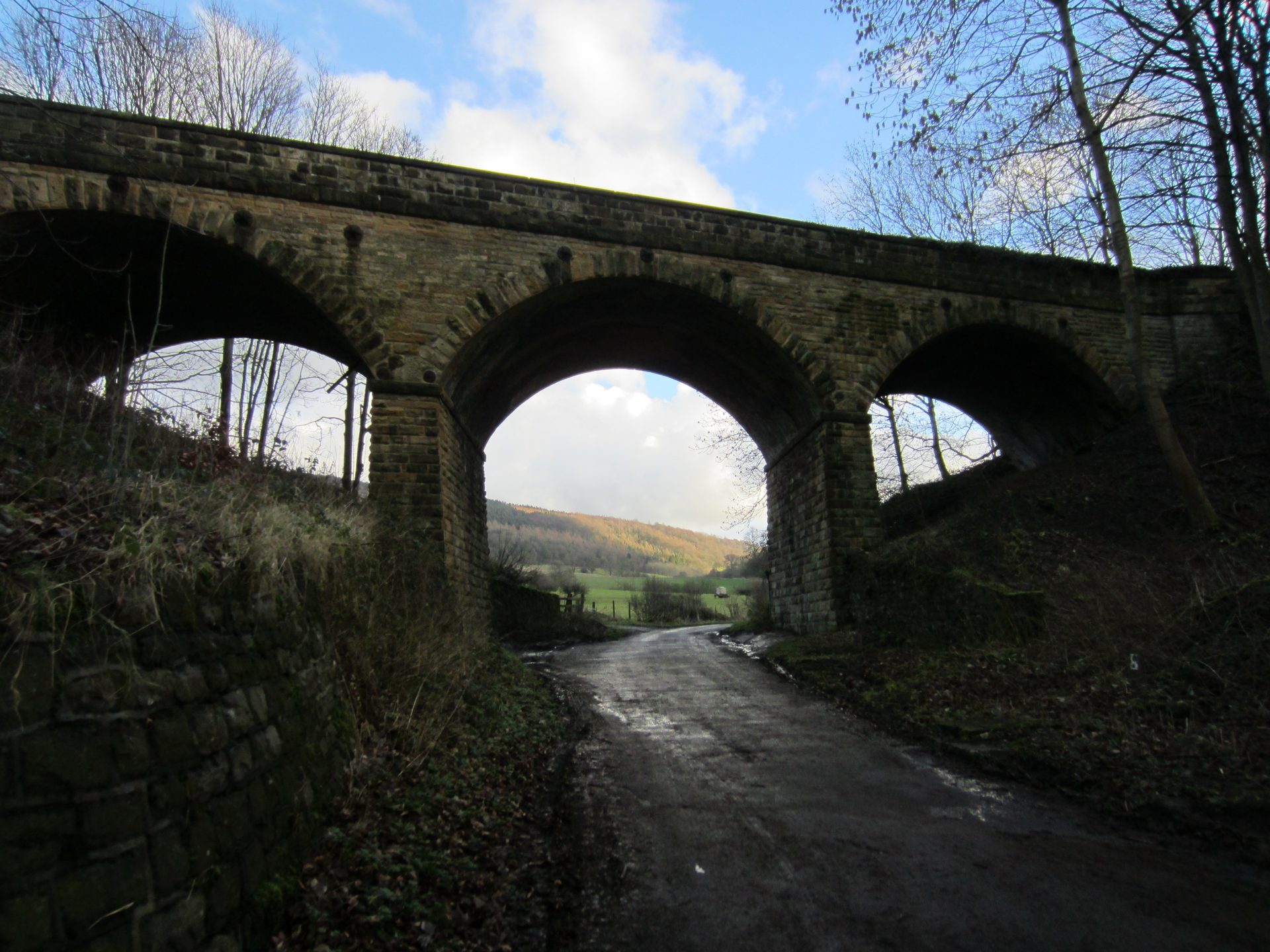
An easy, flat there-and-back walk along the former Midland Railway line from Bakewell's old station to Hassop.
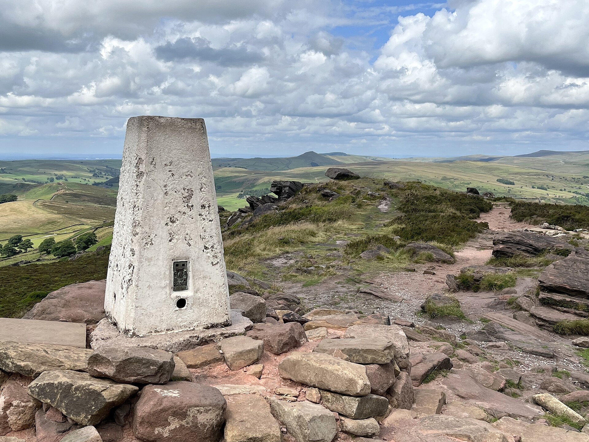
A 505m gritstone escarpment above Leek, its trig point and Doxey Pool reached by a 5.5km circuit from a Roach Road layby.
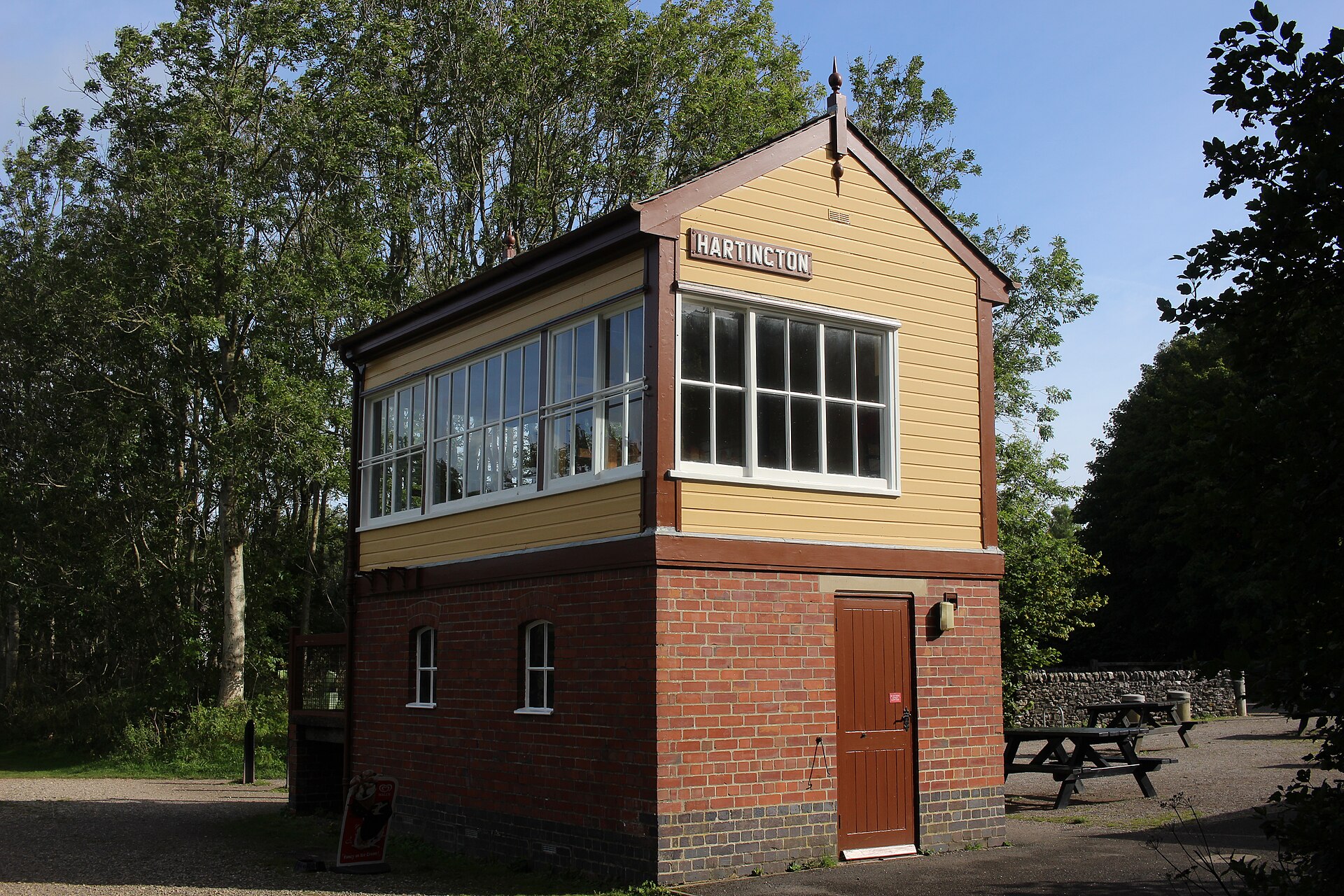
A flat, easy walk or ride along a former railway line from Hartington's old station, part of a 13-mile trail between Ashbourne and Parsley Hay.
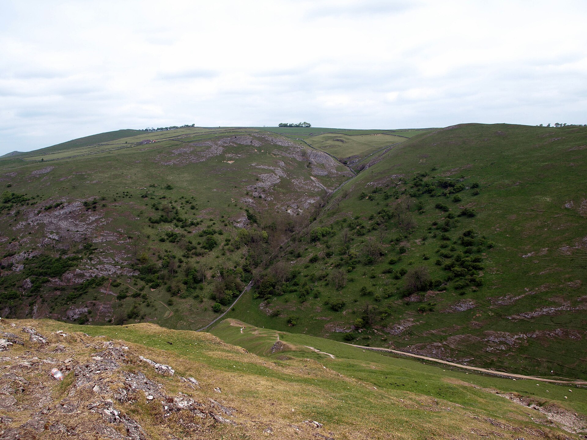
A 287m limestone reef knoll above the Dovedale stepping stones, climbed on a 2.6km circuit from the National Trust car park at Thorpe.
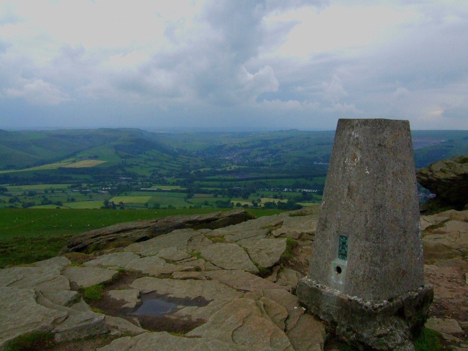
A full-day circular walk onto Win Hill's summit from Ladybower Reservoir, extending west along the ridge to the ancient marker at Hope Cross.
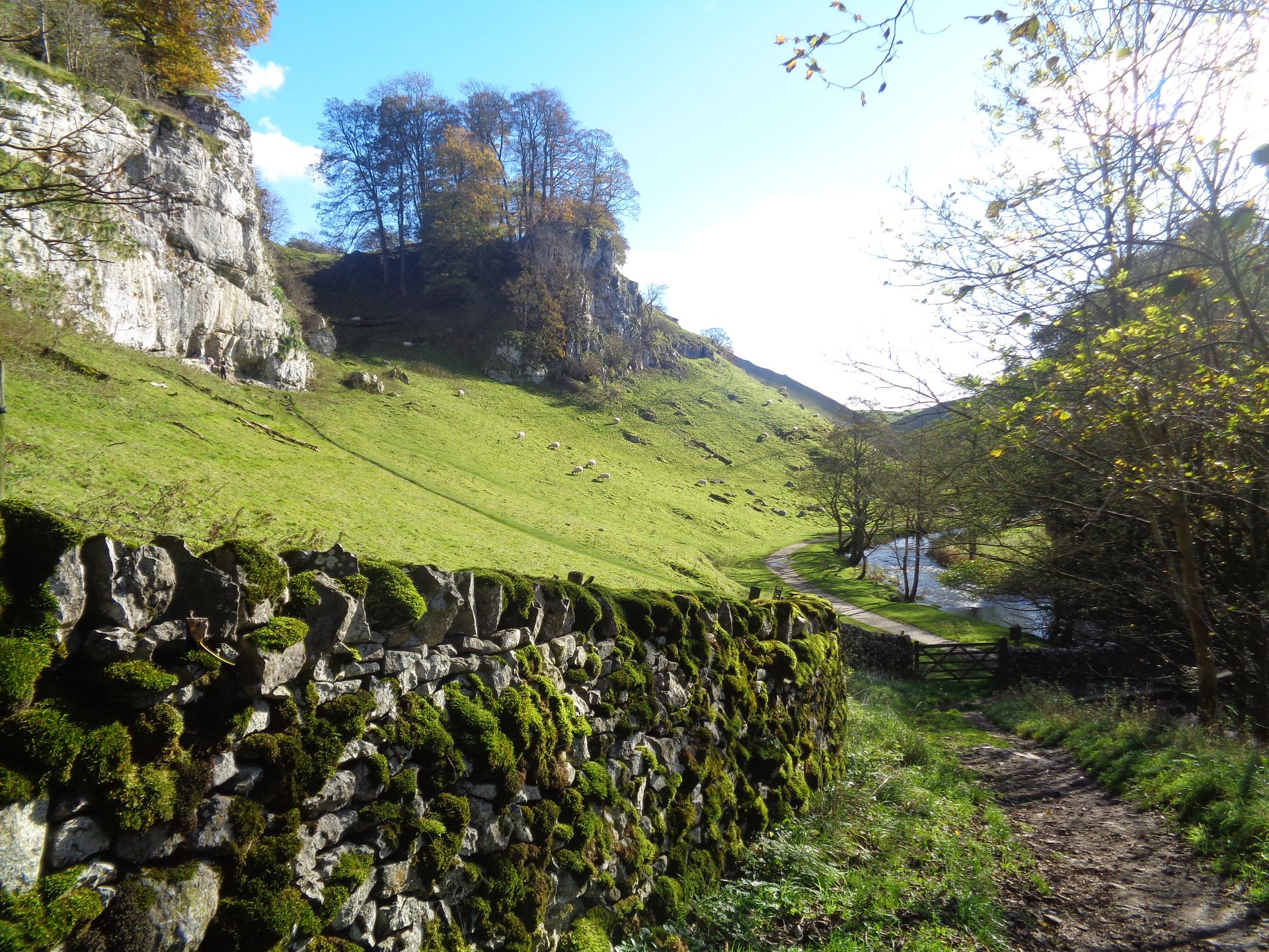
A circular walk from Hartington down the River Dove through Beresford Dale and Wolfscote Dale, returning by Biggin Dale.
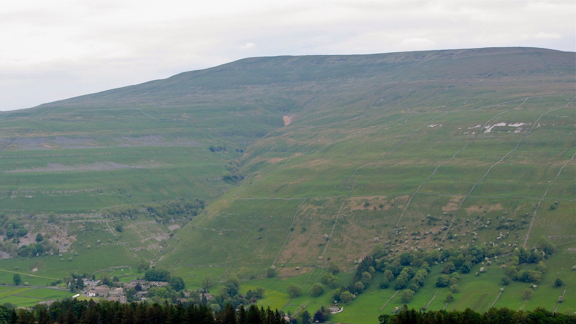
A 702m summit above upper Wharfedale, climbed from Buckden to a wartime memorial cross and back by Starbotton and the Dales Way.
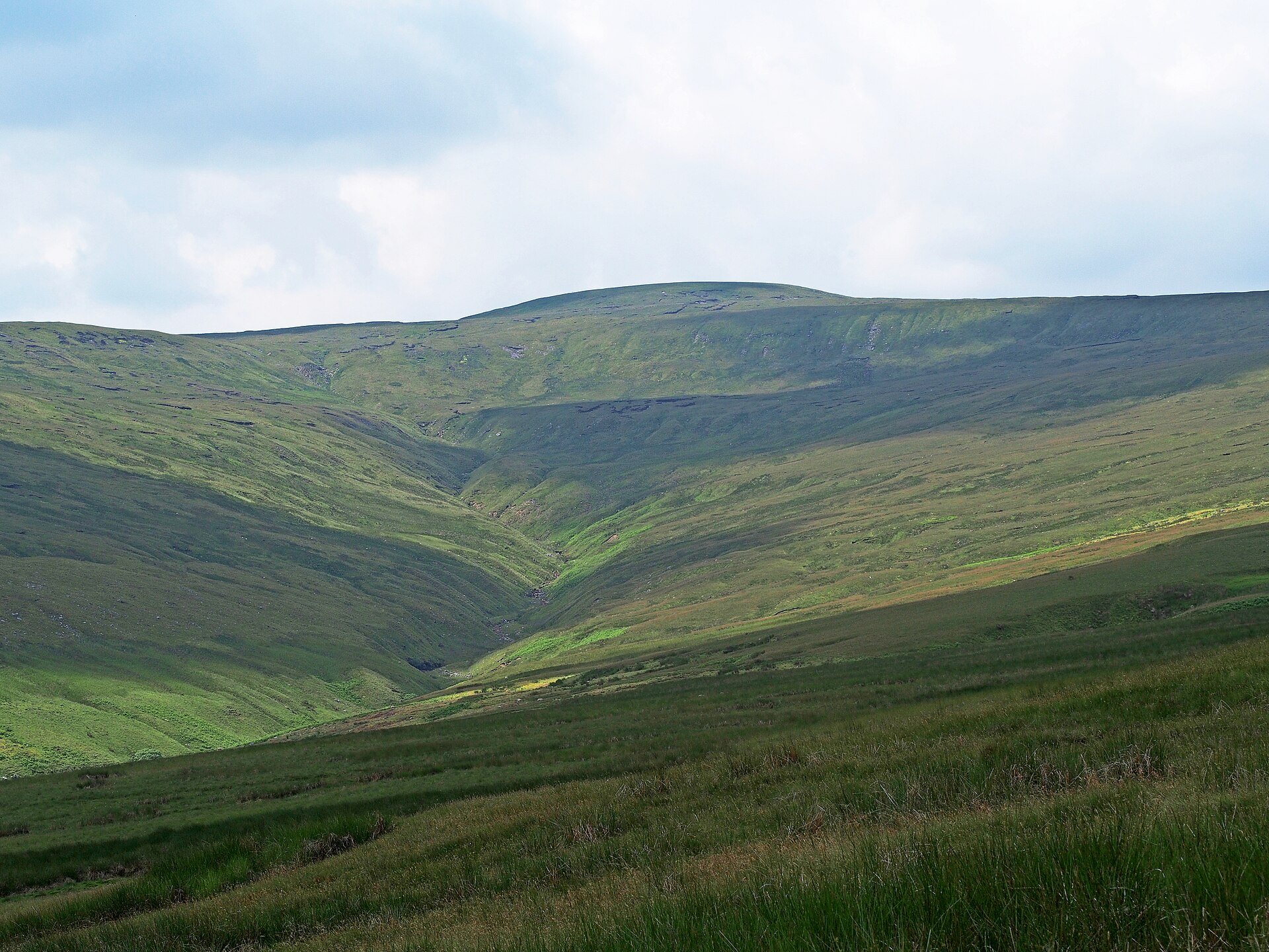
The third highest summit in the Yorkshire Dales, reached on the Pennine Way from Hardraw by an enclosed coal road and a flagged path, 18km out and back.
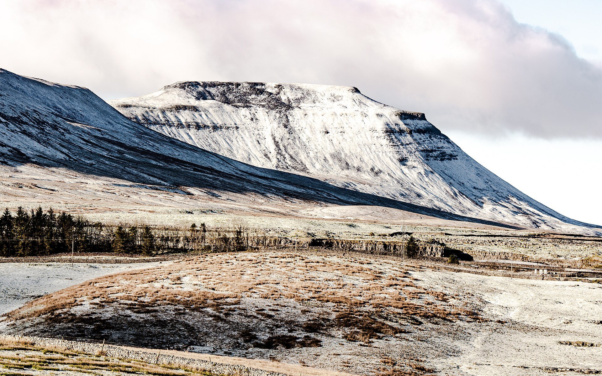
The 723m flat-topped hillfort summit of Ingleborough, climbed from Clapham by Ingleborough Cave, Trow Gill and Gaping Gill, 15.4km round.
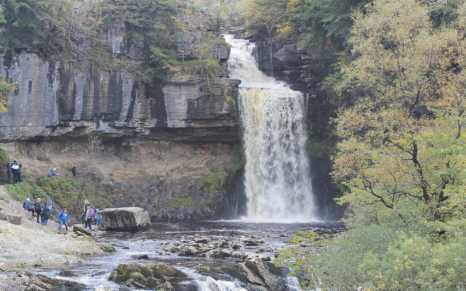
A privately run, ticketed 7km clockwise circuit through the gorges of the Rivers Twiss and Doe, past Pecca Falls and the 14m drop of Thornton Force.
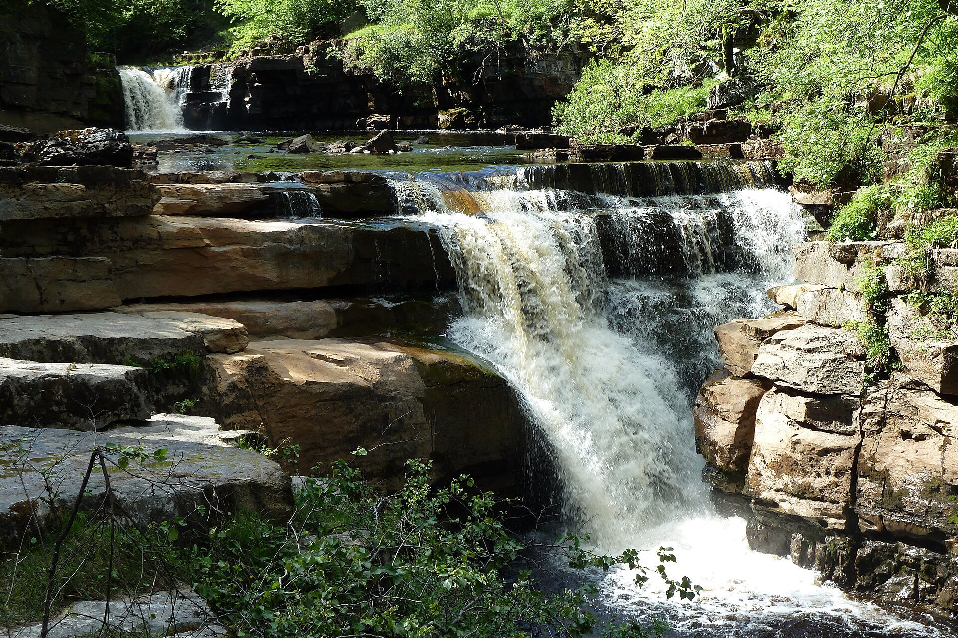
The River Swale's gorge below Keld in upper Swaledale, with Catrake Force, East Gill Force and Kisdon Force, on an 11km circuit via Muker.
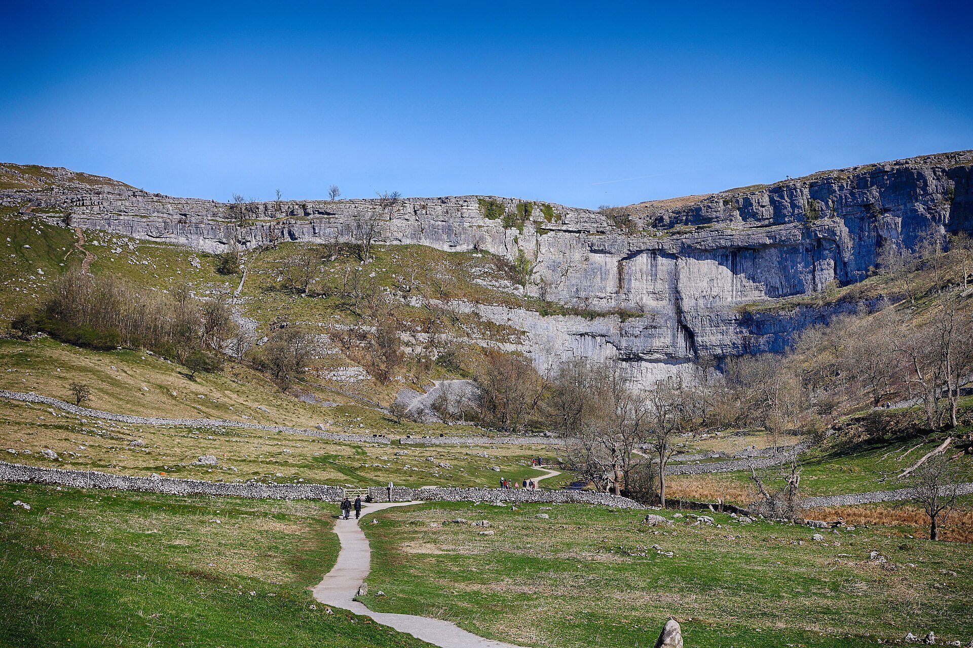
A 7.2km circuit from Malham village to Janet's Foss, the Gordale Scar gorge and the 70m limestone cliff of Malham Cove, with 400 steps to its pavement.
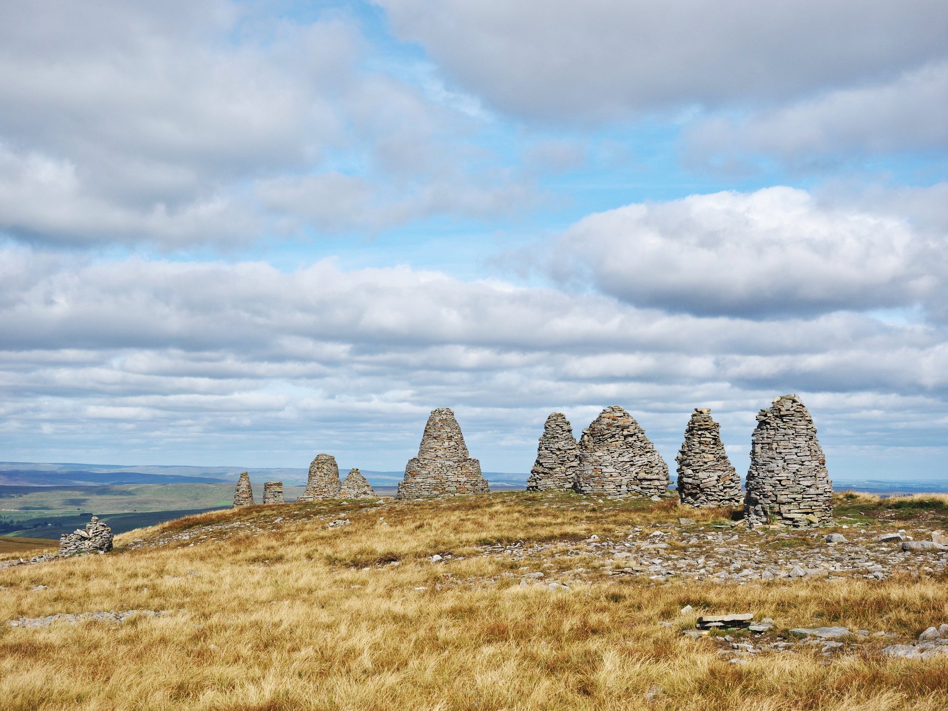
The Coast to Coast's cairned summit above Kirkby Stephen, climbed from the station by the Eden gorge and Hartley Fell on an 18.1km circuit.
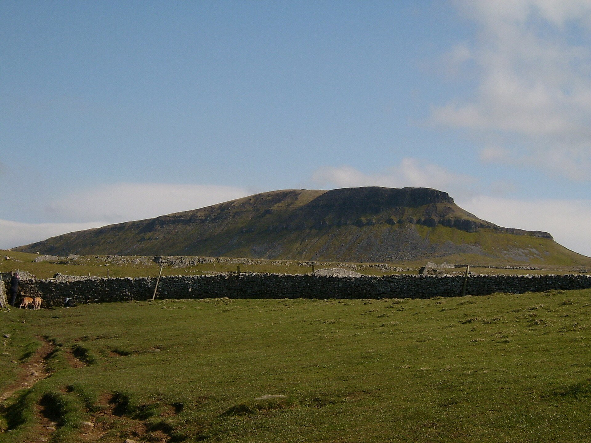
The lowest of the Yorkshire Three Peaks at 694m, climbed from Horton in Ribblesdale by Brackenbottom and left by Hull Pot, 10.6km in all.
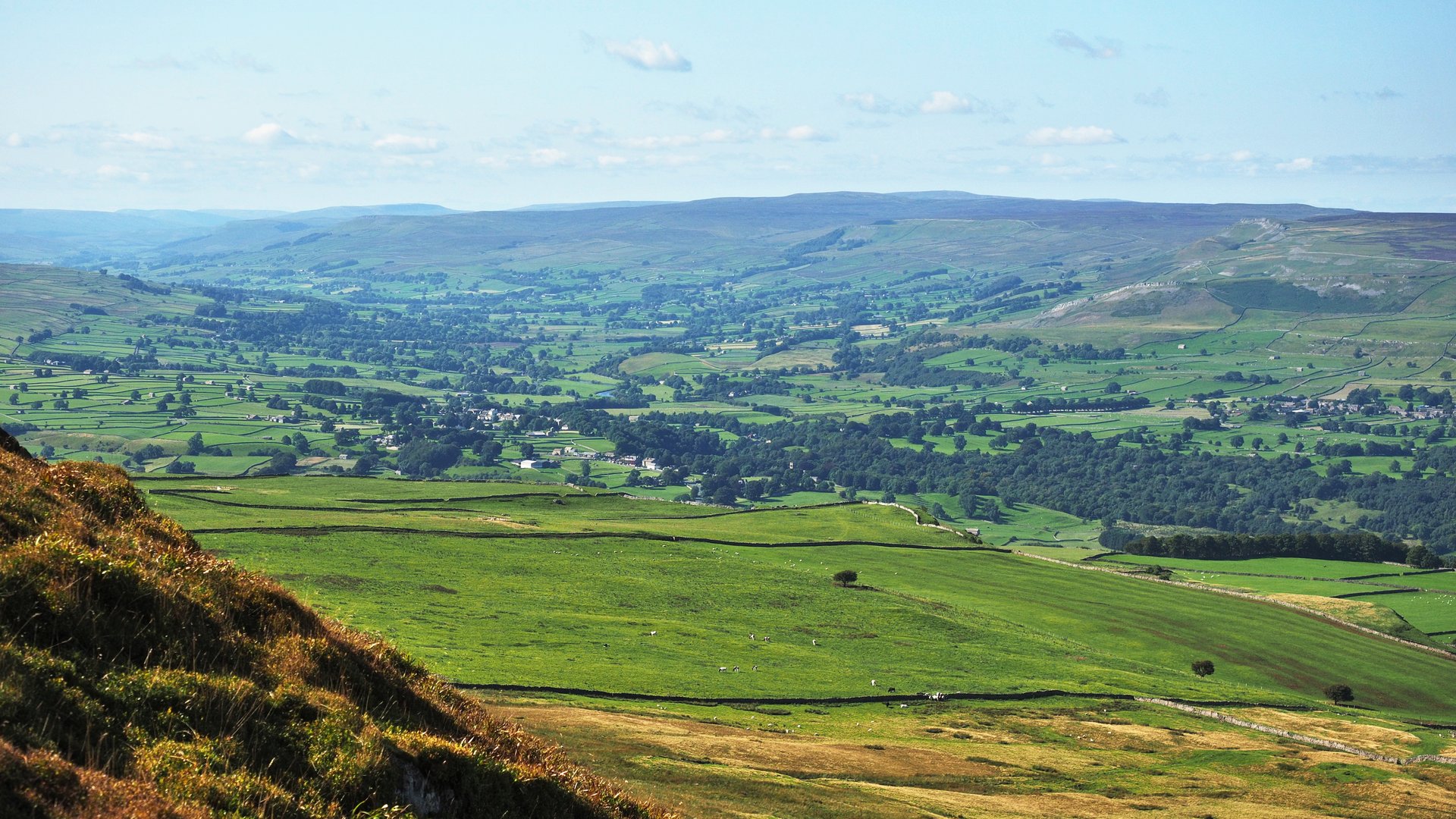
A 526m ridge between Wensleydale and Coverdale, climbed from West Burton to Black Scar and followed along its northern edge, about 16km in all.
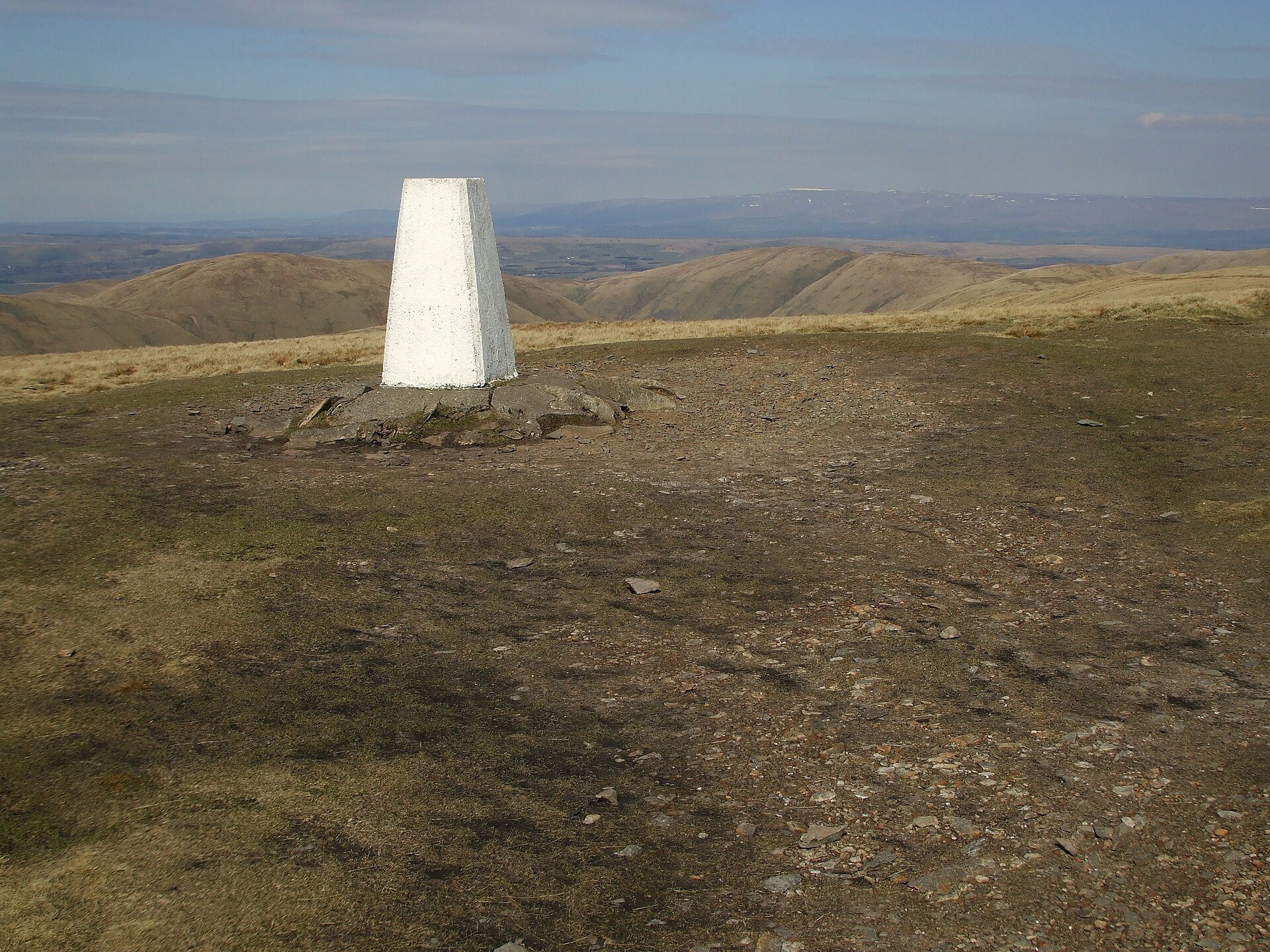
The highest summit of the Howgill Fells at 676m, climbed from Sedbergh by Settlebeck Gill and Calders, or by way of Cautley Spout.
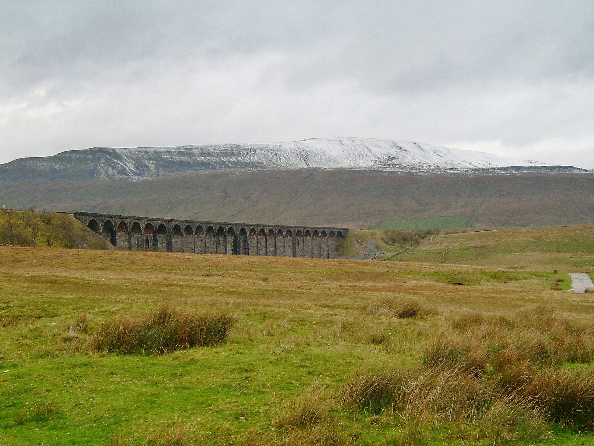
The highest point in the Yorkshire Dales at 736m, climbed from beside Ribblehead Viaduct by Force Gill and left by the Bruntscar path, 12.5km.
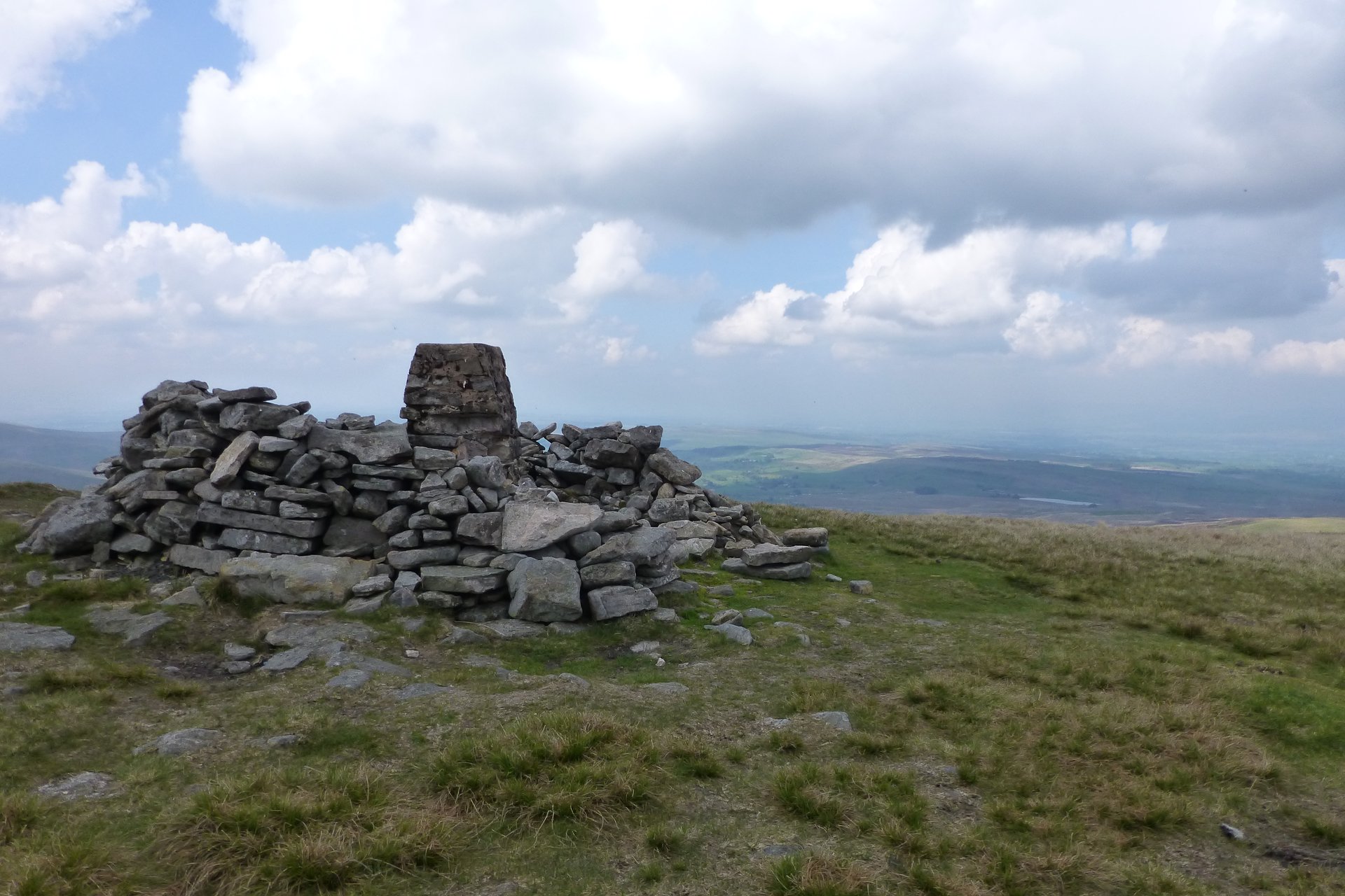
A 708m flat-topped fell above Mallerstang, climbed from Aisgill by Hell Gill, the Nab and Swarth Fell on a 16km circuit.
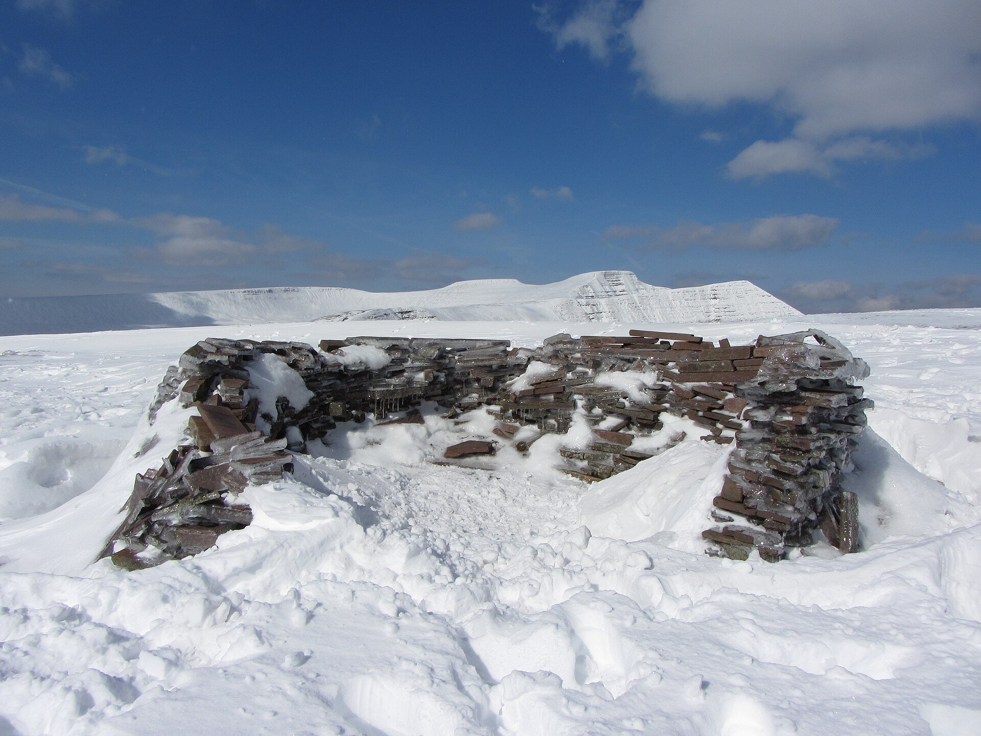
The 717m last summit of the Beacons horseshoe, with its diving board rock, reached from the Taf Fechan Forest below the Upper Neuadd Reservoir.
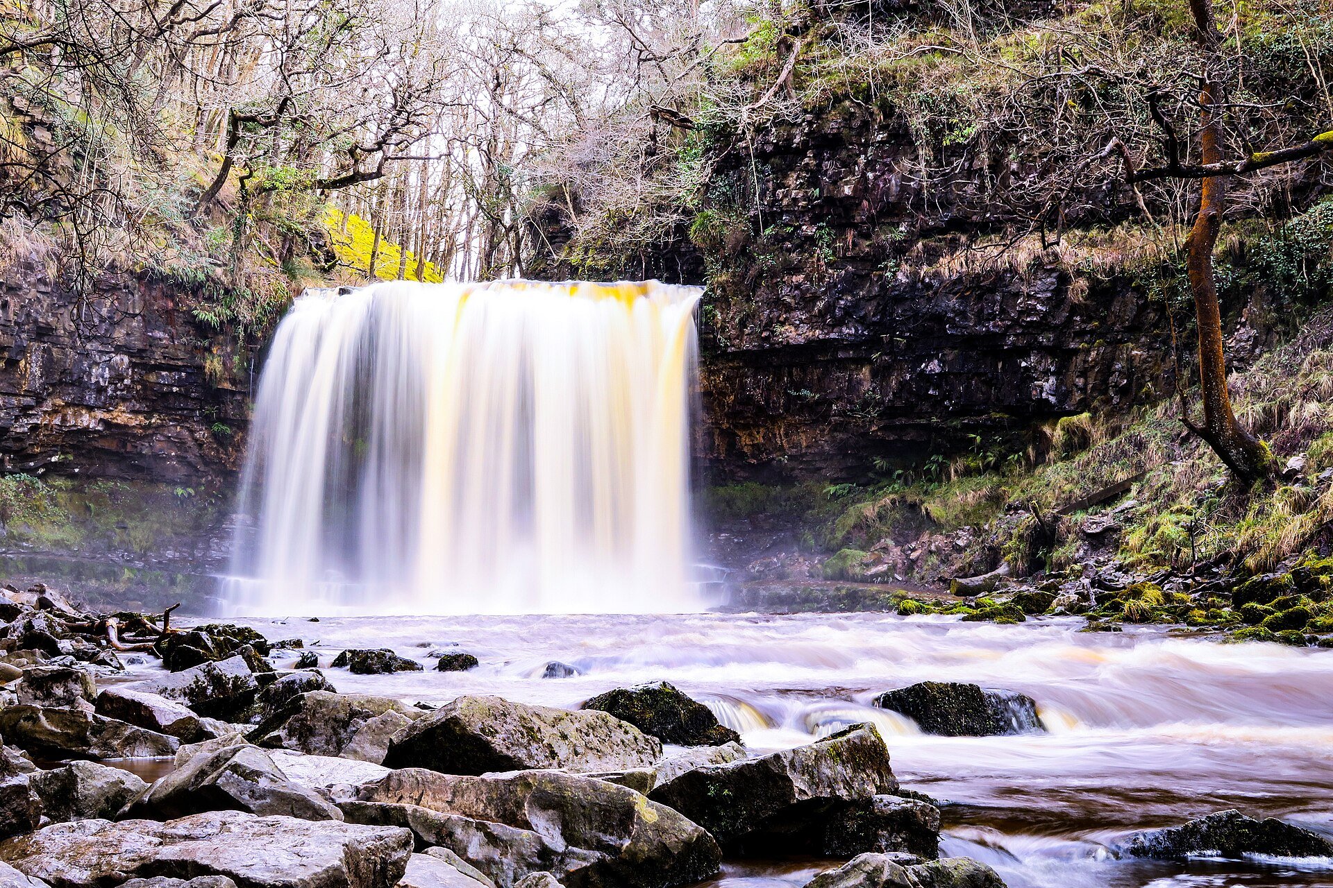
A waymarked 8km circuit past four waterfalls on the Mellte and Hepste near Ystradfellte, with a path behind Sgwd yr Eira, in three to four hours.
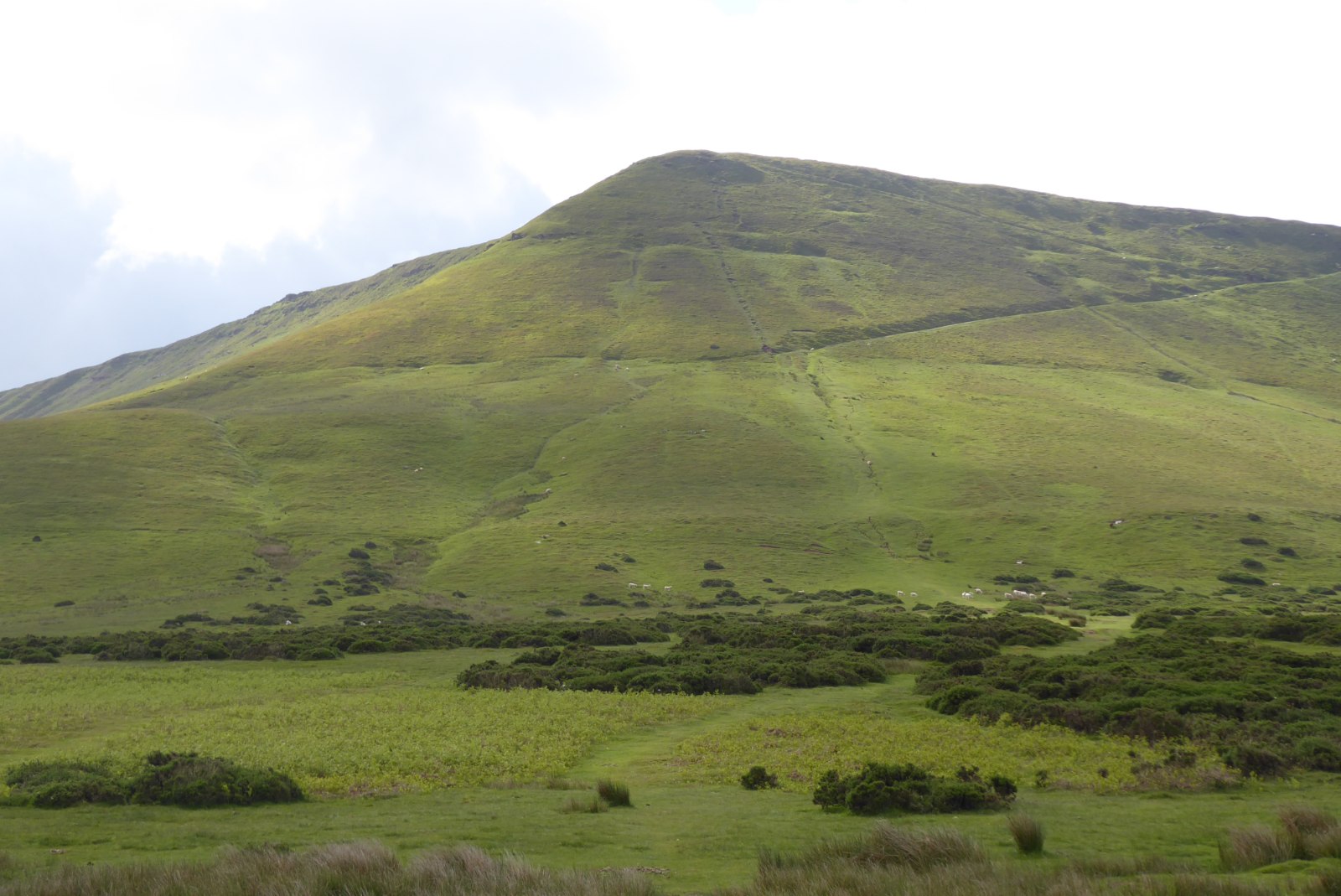
A circuit of Hay Bluff (677m) and Twmpa (690m) from the Hay Bluff car park on the Gospel Pass road, about 9km in three to four hours.
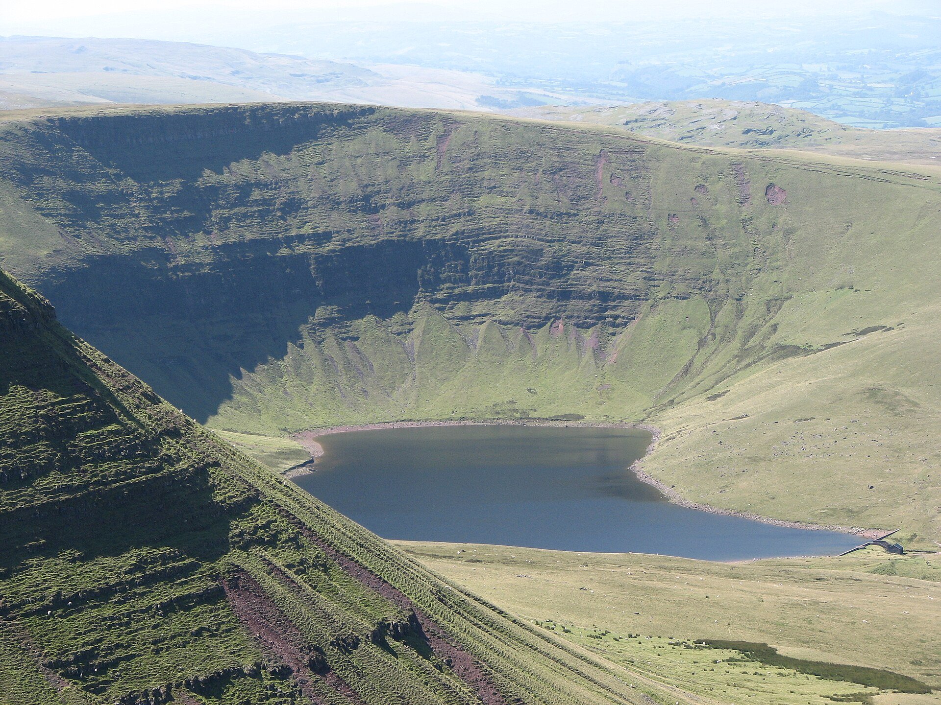
A glacial lake beneath the Carmarthen Fans, its dam built largely by wartime conscientious objectors, walked with the Picws Du ridge from Llanddeusant.
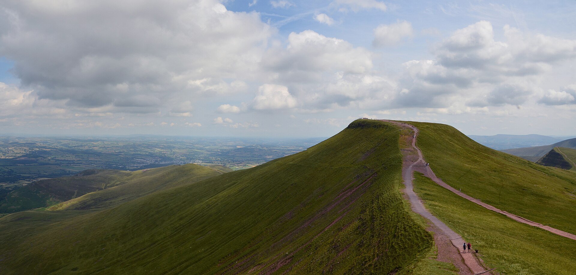
The highest peak in South Wales at 886m, climbed with Corn Du from the National Trust's Pont ar Daf car park by a stone-pitched path.
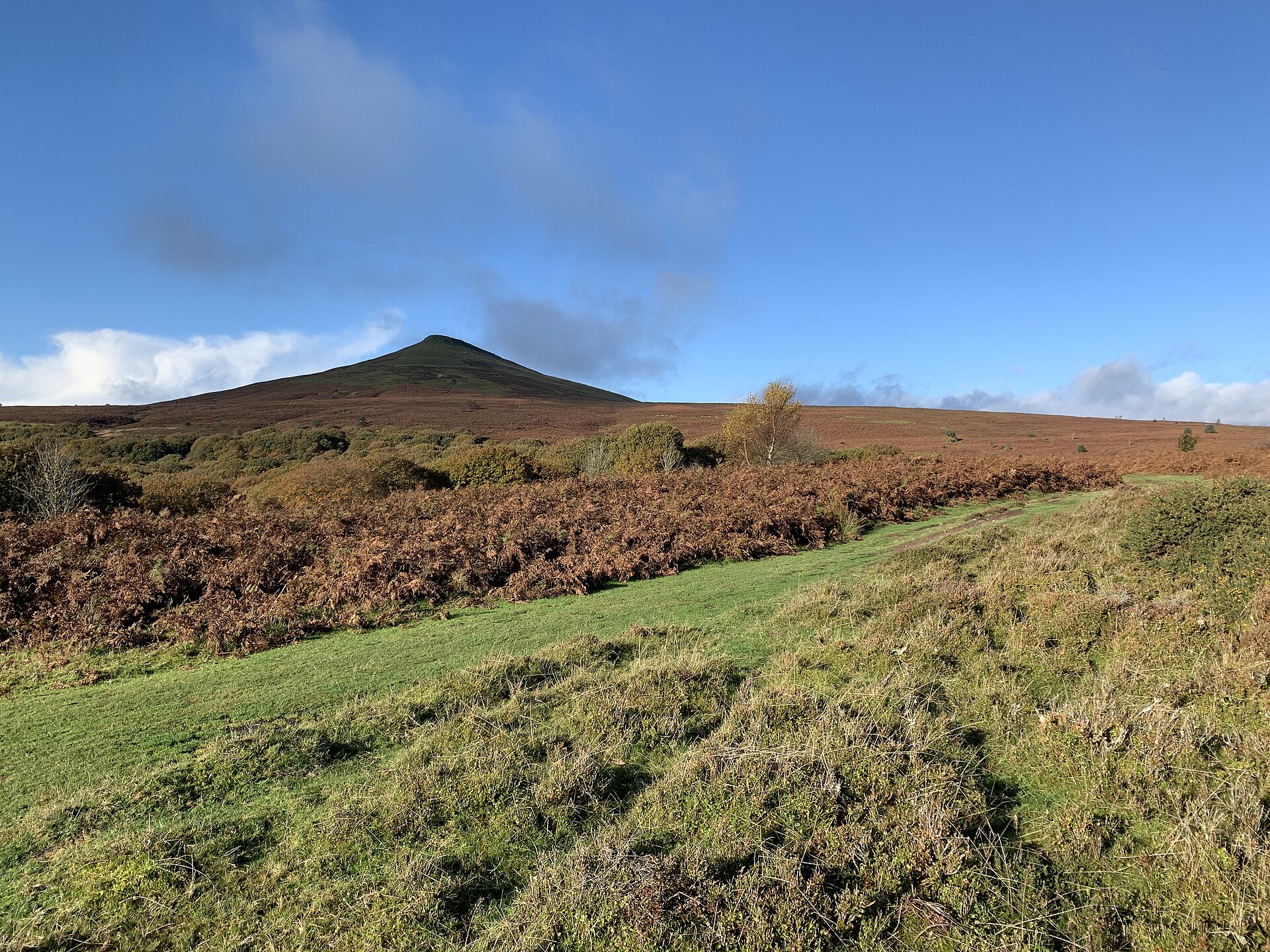
A 596m cone-shaped Black Mountains summit above Abergavenny, climbed from a National Trust car park in about two and a half hours.
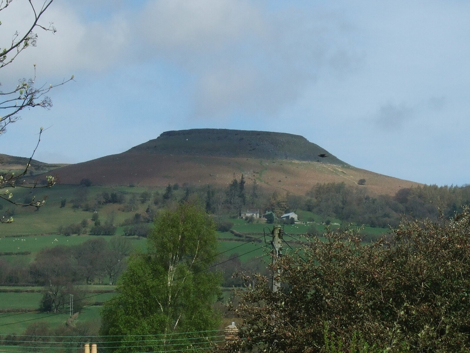
A 451m flat-topped hill with an Iron Age hillfort, climbed on foot from Crickhowell by Cwm Cumbeth in about three hours.
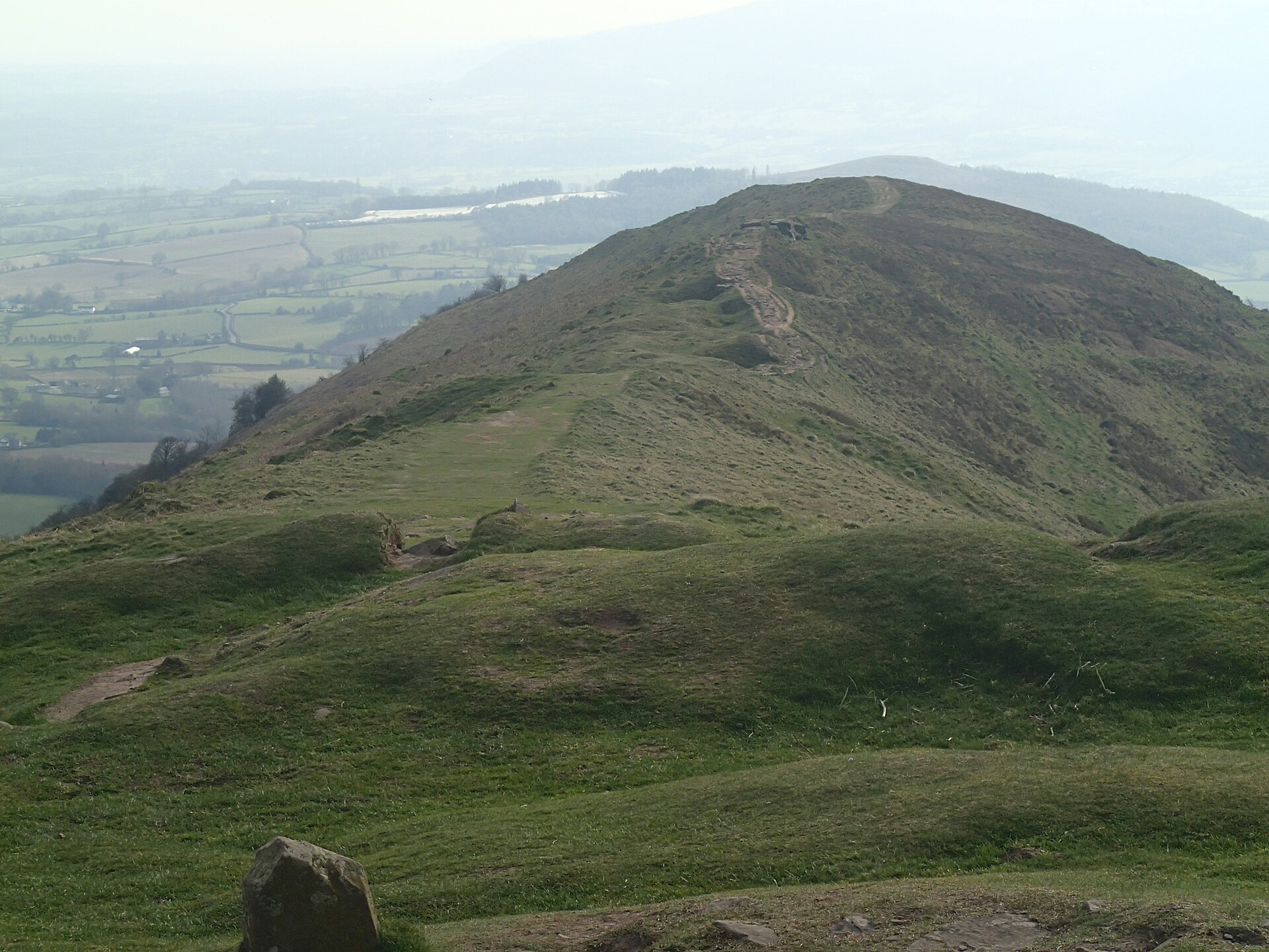
A 486m National Trust hill east of Abergavenny, climbed through Pant Skirrid Wood to a ruined chapel and a prehistoric summit enclosure.
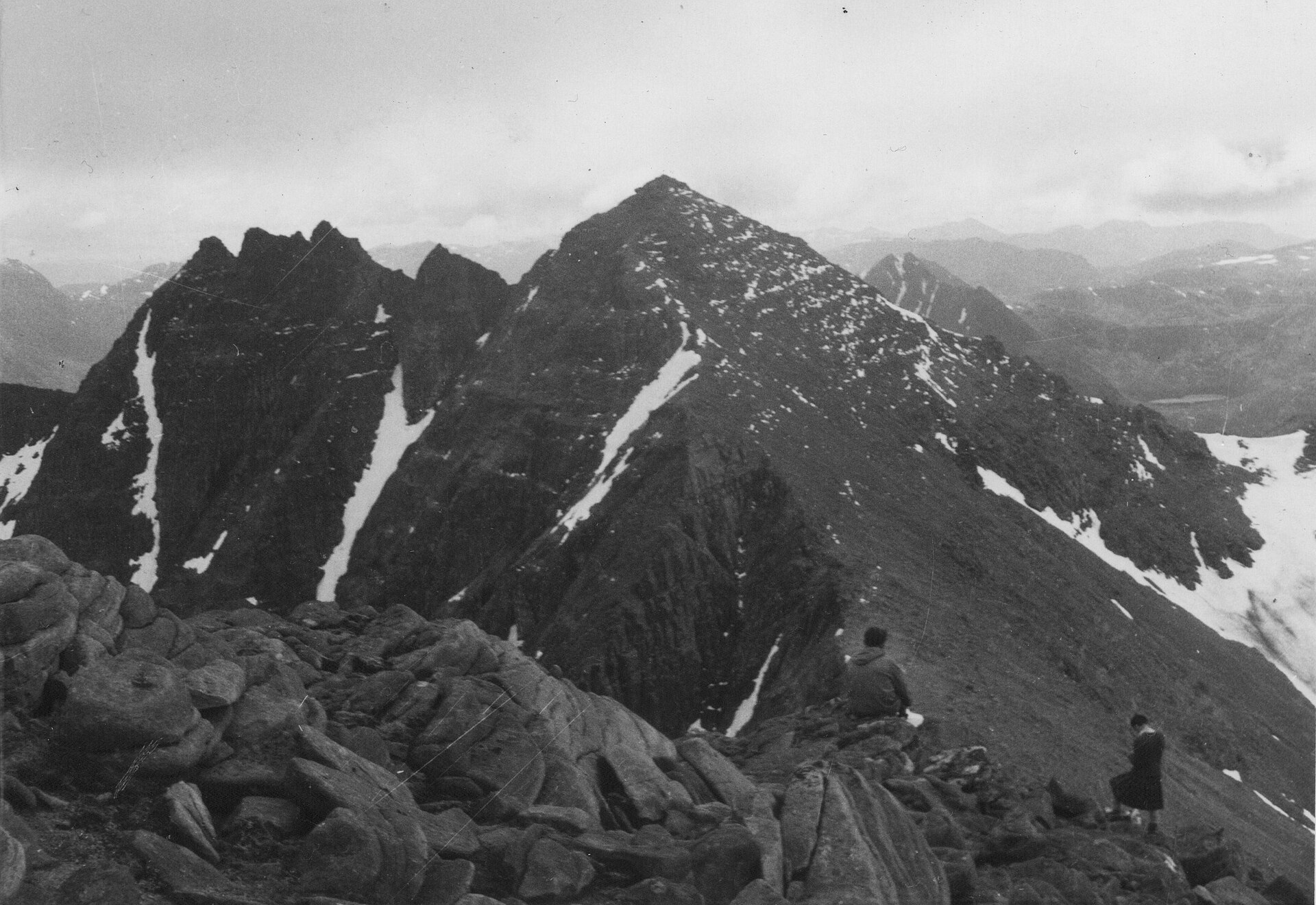
A sandstone ridge of nine tops above Dundonnell, its two Munros reached on a bypass path that avoids the pinnacles' Grade 3 scramble.
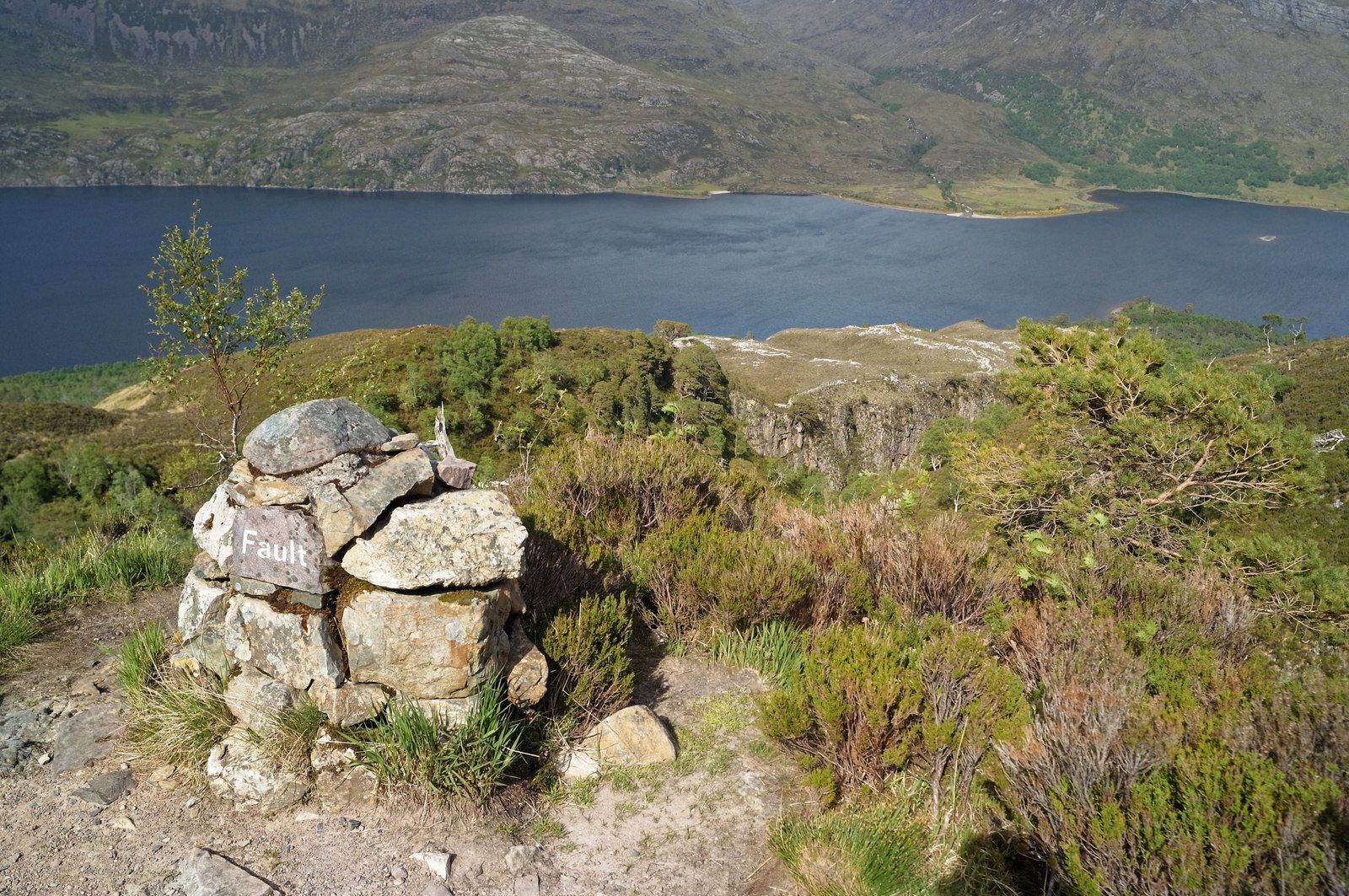
A waymarked path from the pinewoods of Loch Maree onto a bare quartzite plateau, run by NatureScot and billed as Britain's only waymarked mountain walk.
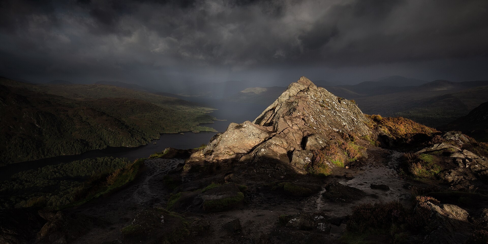
A short, steep hill above Loch Achray, often called the mountain in miniature, with a summit view out of proportion to its height.
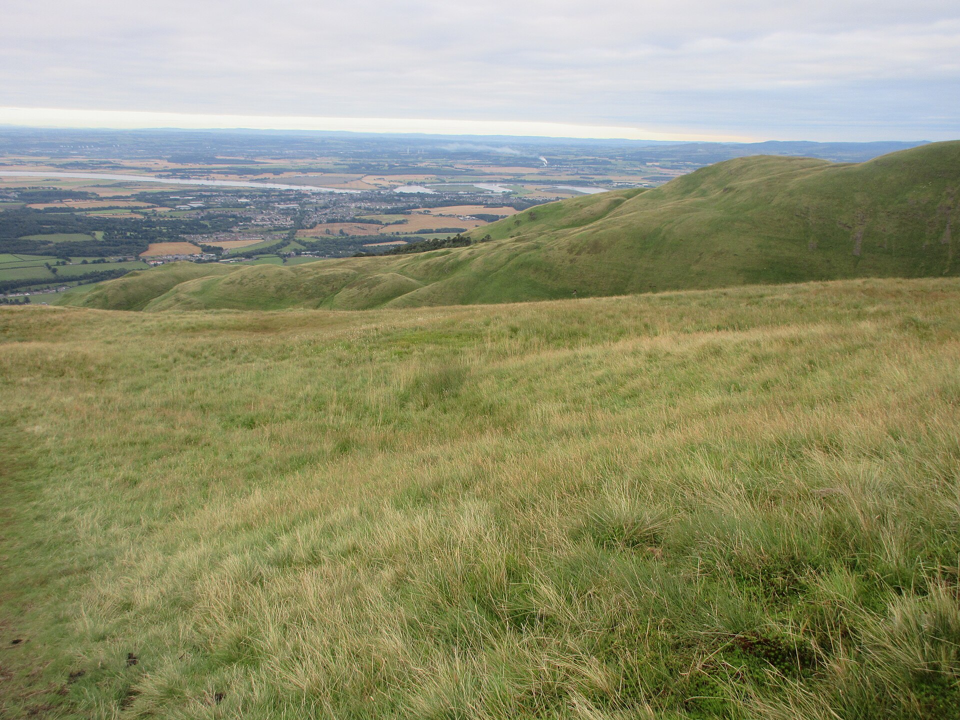
The highest of the Ochil Hills at 721m, circled from Tillicoultry through Mill Glen and over The Law and Ben Ever in 9.5km and 731m of ascent.
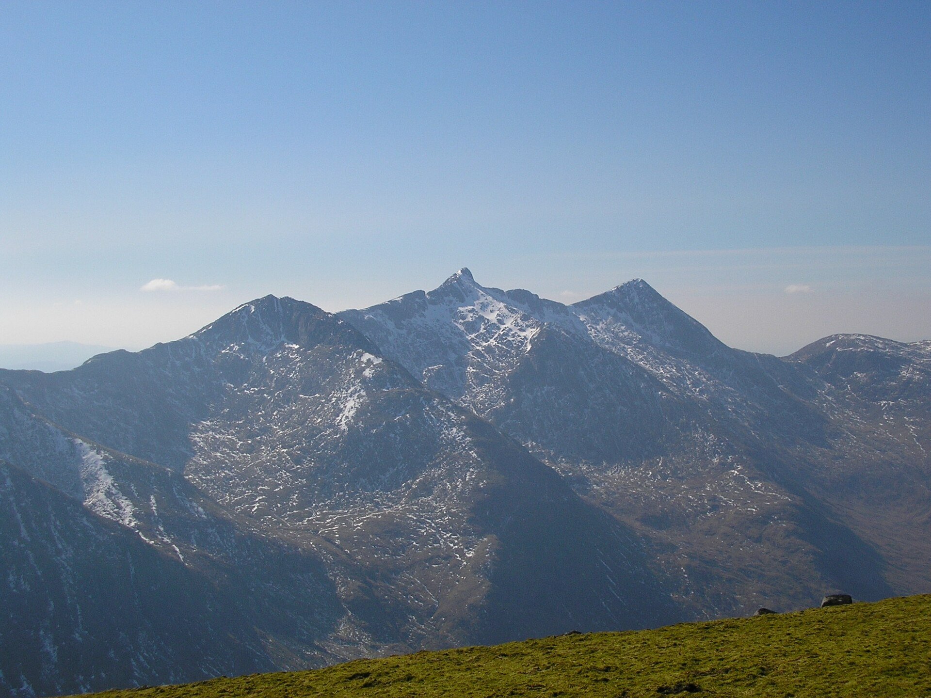
A two-Munro ridge circuit round the Cruachan reservoir, climbed from the railway station by the dam path, with rocky ridge walking and 1,376m of ascent.
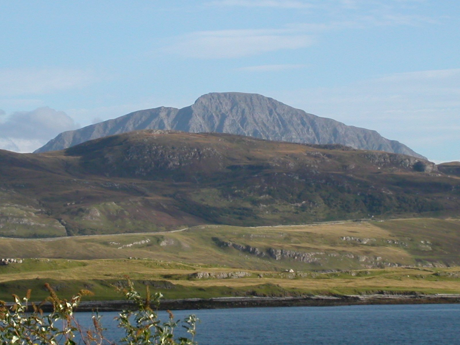
The most northerly Munro at 927m, climbed from the Strath More road by a steep, wet and rocky path in 7.5km and 946m of ascent.
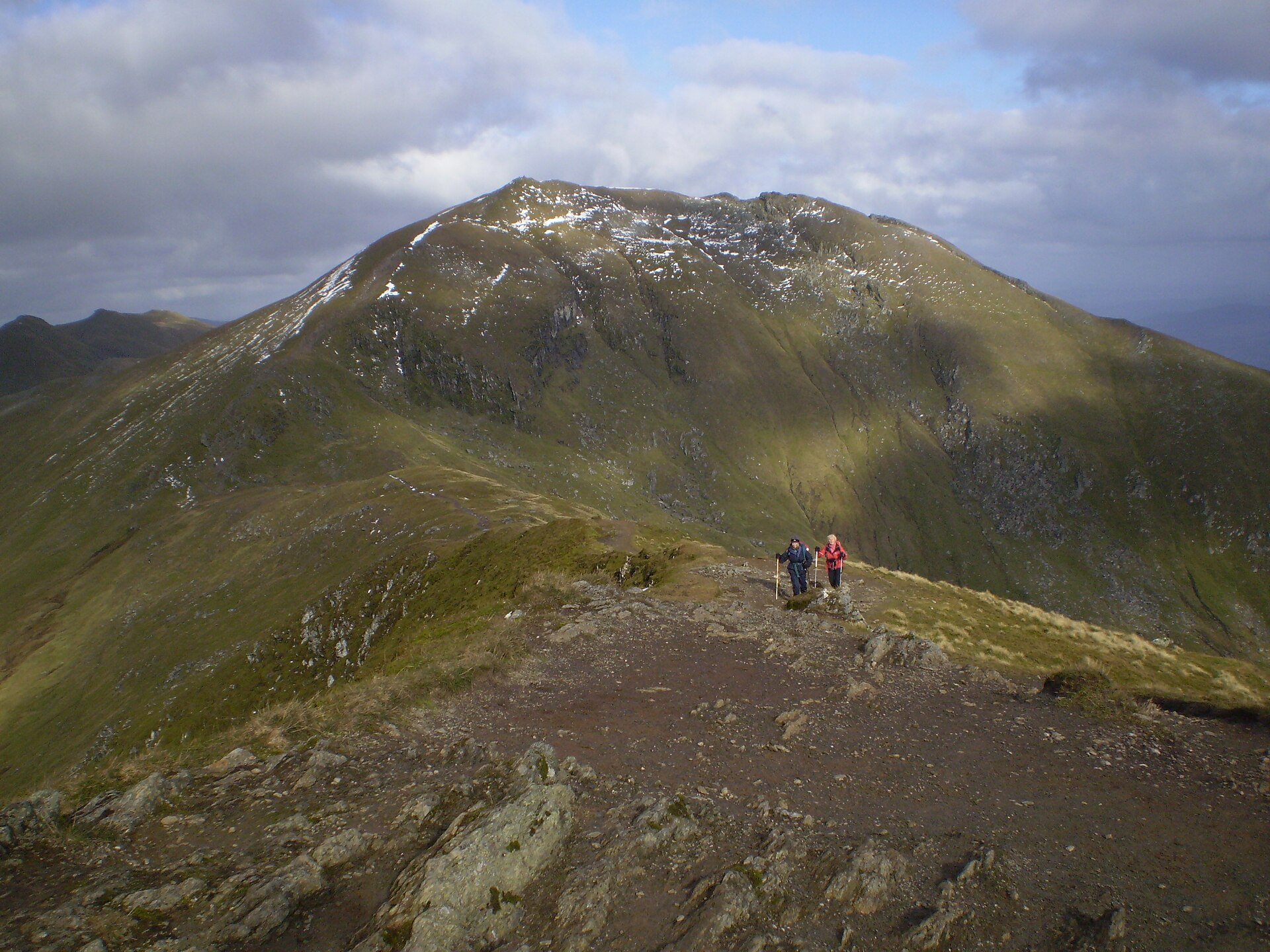
The tenth highest Munro, climbed with Beinn Ghlas from a high car park on the National Trust for Scotland's Ben Lawers reserve, in 11km and 942m of ascent.
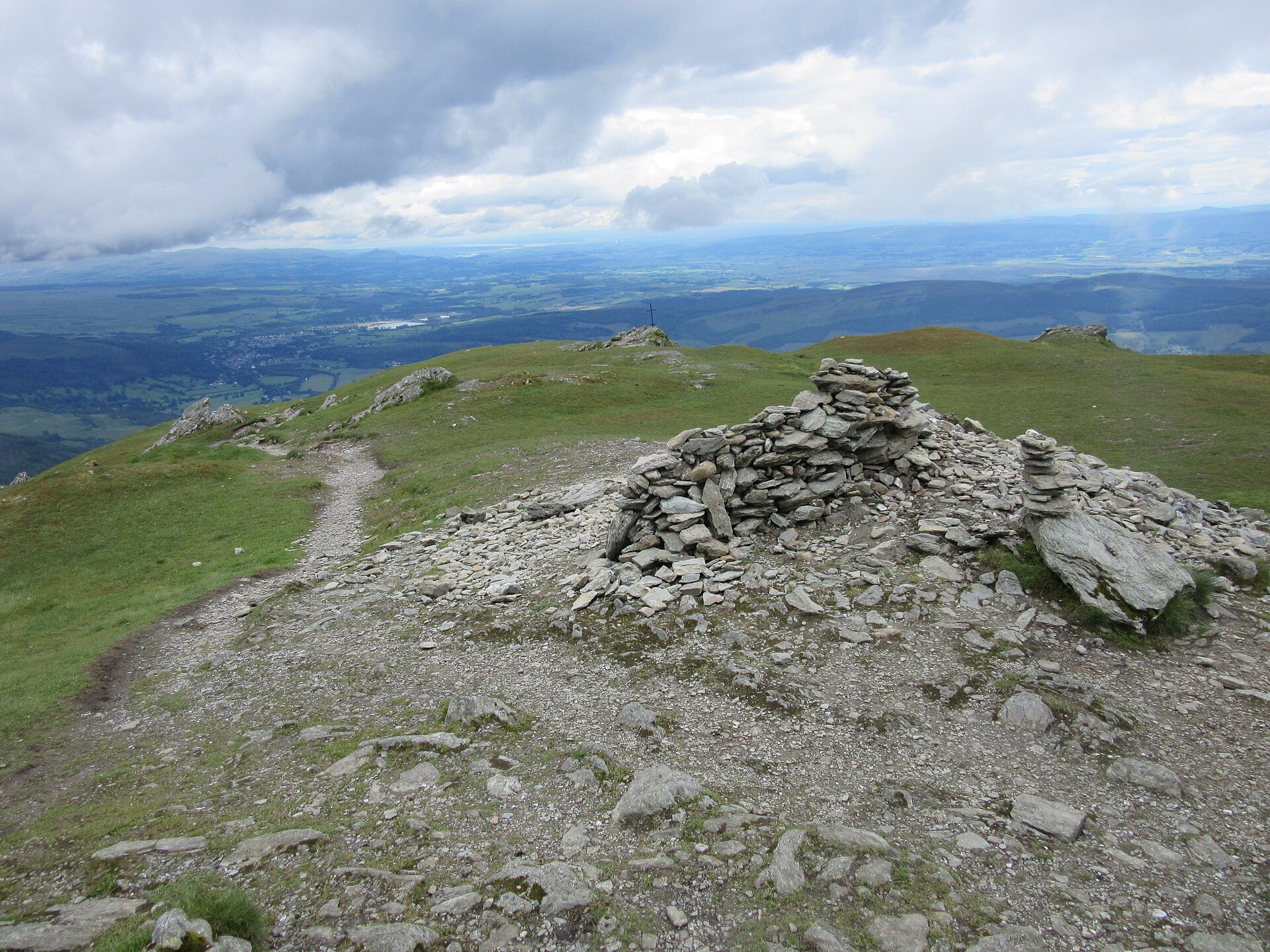
The Trossachs' most prominent summit above Callander, climbed on a constructed path with a rougher return through Stank Glen.
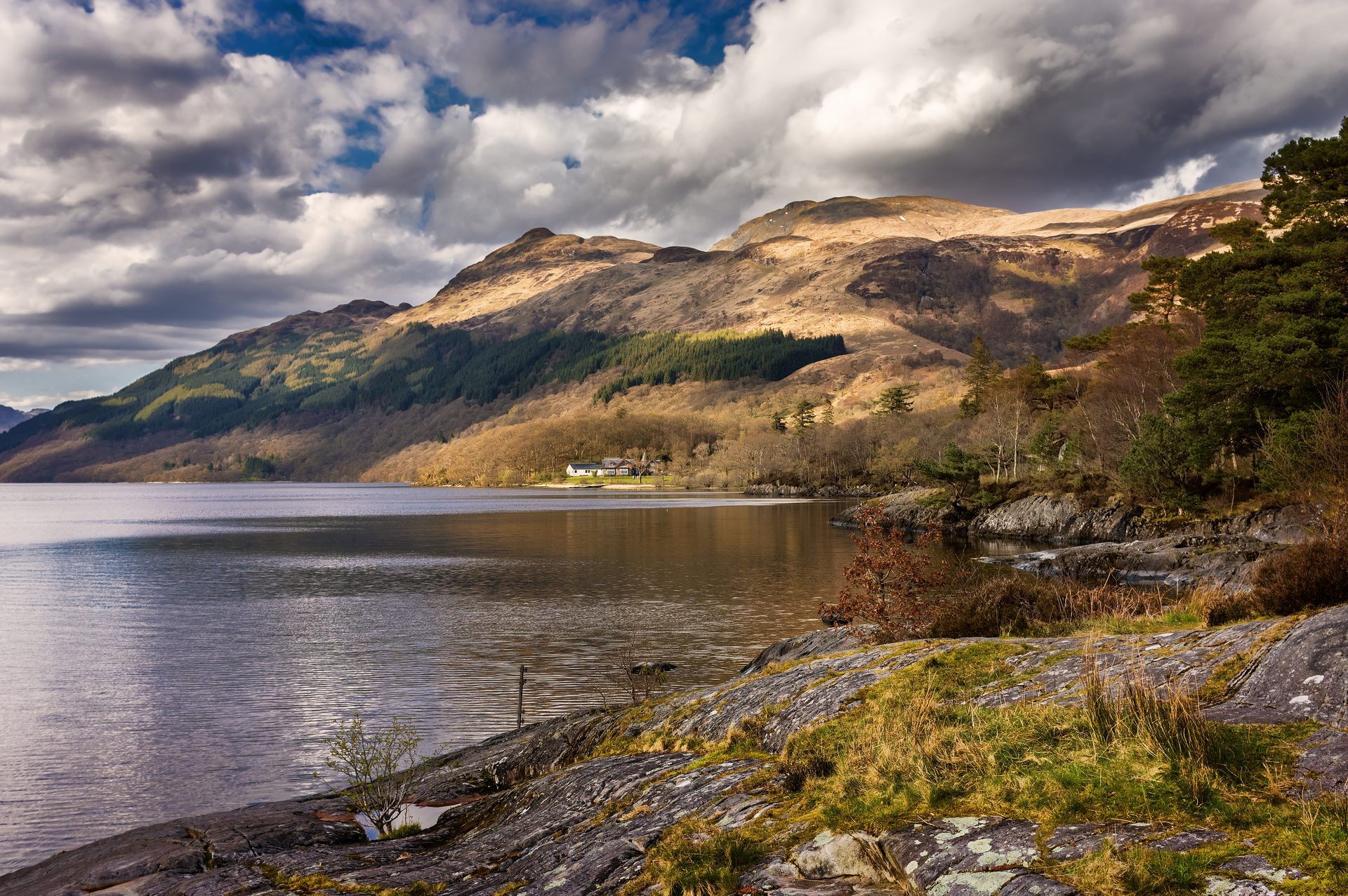
The most southerly Munro, climbed from Rowardennan on Loch Lomond's shore, with an optional, steeper descent by the Ptarmigan ridge.
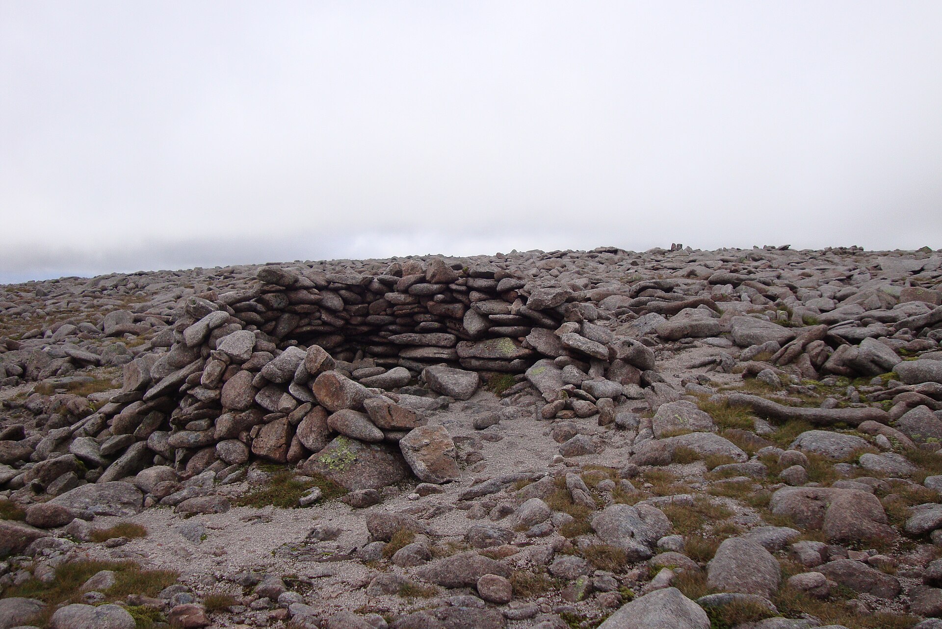
Britain's second-highest summit, reached across the exposed Cairngorm plateau from the Coire Cas car park, taking in Cairn Gorm too.
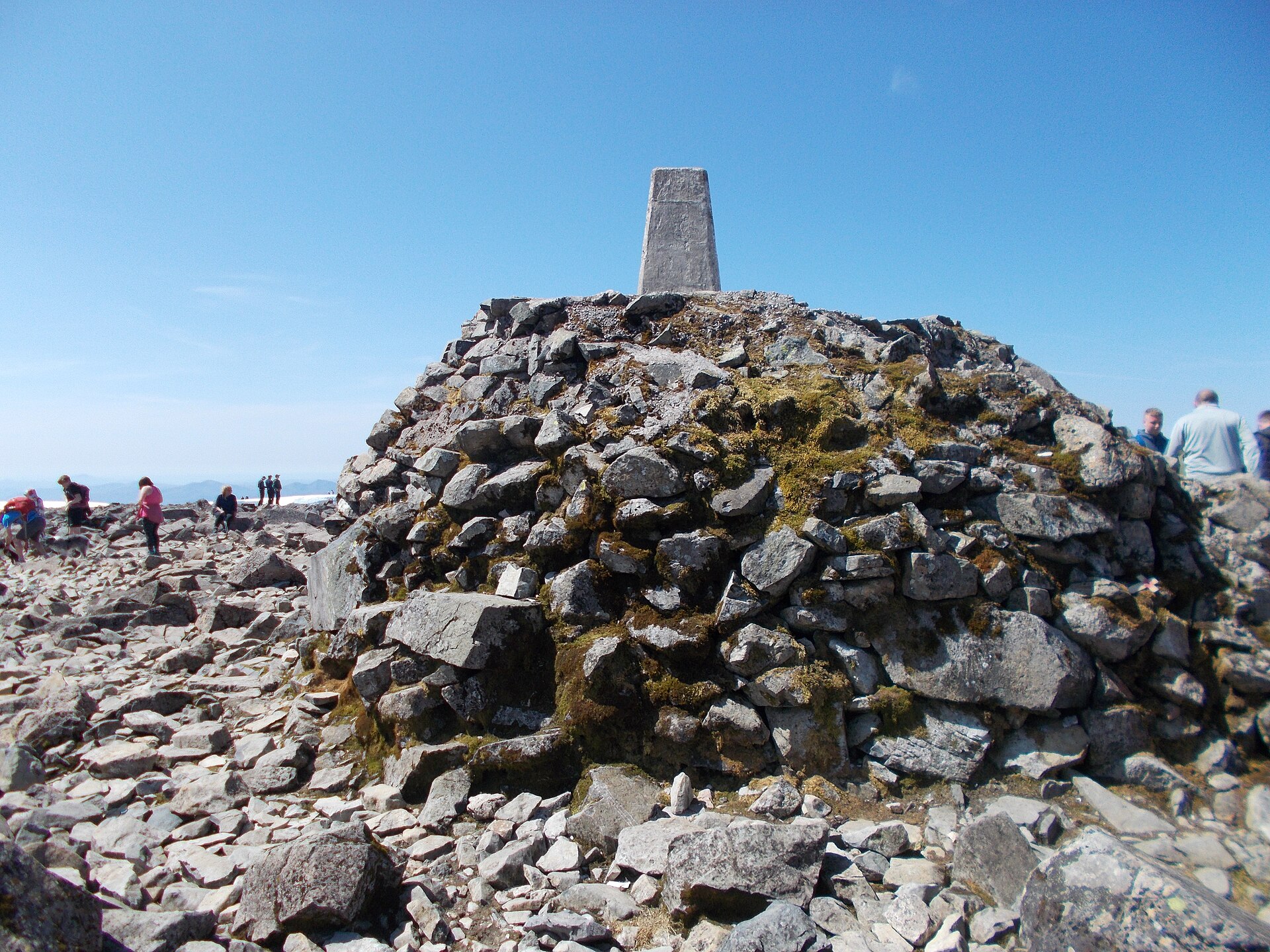
The standard walking route up Britain's highest mountain, a long, steady climb on a stony path with no scrambling but a serious amount of ascent.
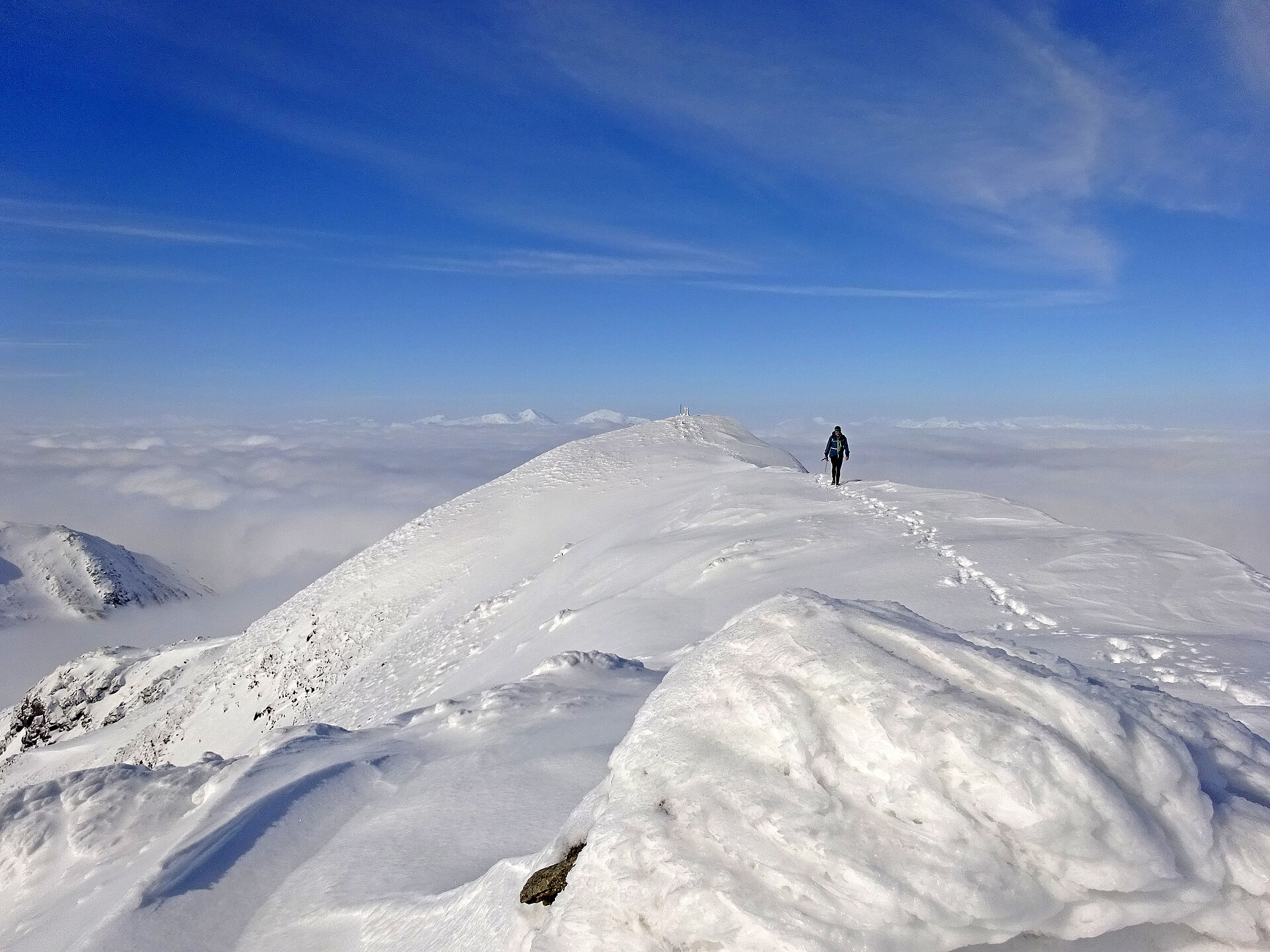
A Munro above Loch Earn's south shore, climbed from Ardvorlich by the Sgiath nam Tarmachan ridge, with an optional scramble on to Stùc a' Chròin.
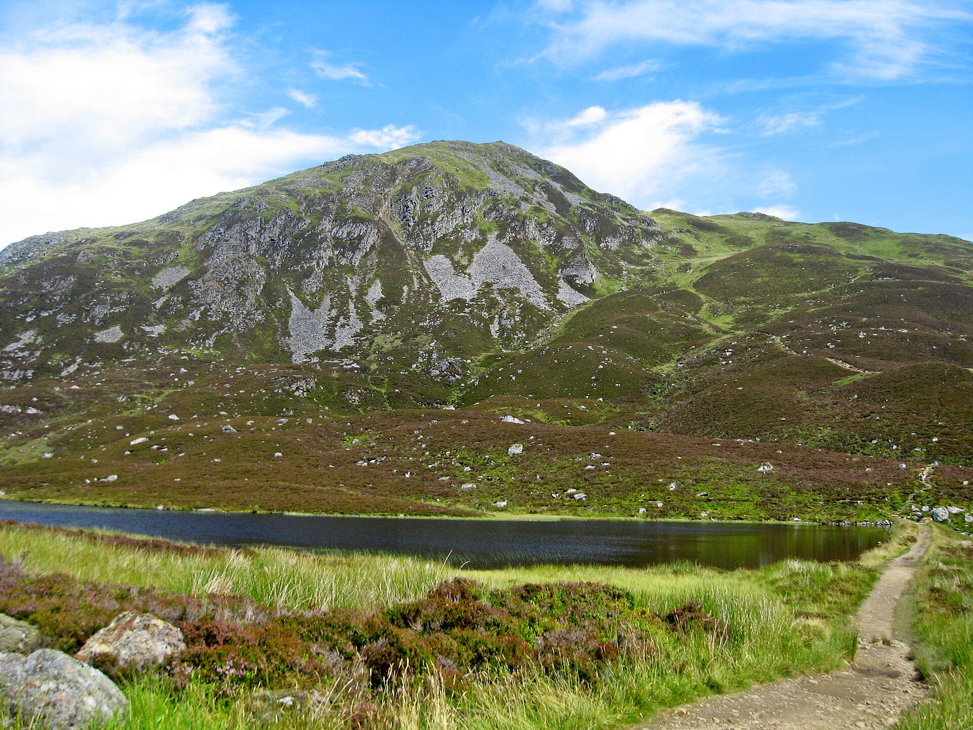
A Corbett of 842m above Pitlochry, climbed from Moulin on a made path past Loch a' Choire, with a steep stone-stepped finish and a toposcope.
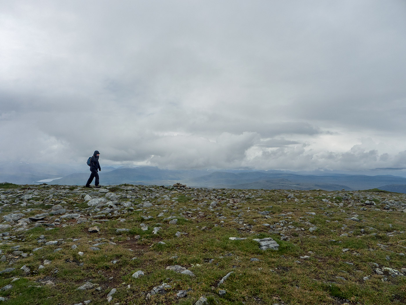
A 14km Munro route from the A835 with 935m of ascent, a built stone path to An Cabar and a mossy plateau NatureScot asks walkers to cross in single file.
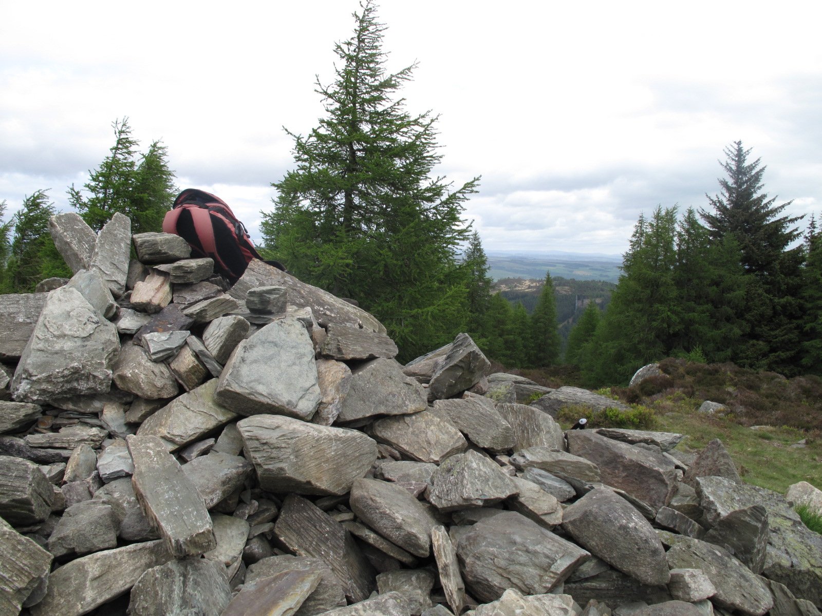
A wooded 6.25km circuit over Birnam Hill, King's Seat, above Birnam and Dunkeld, with a steep rocky descent and a viewpoint crag over Dunkeld.
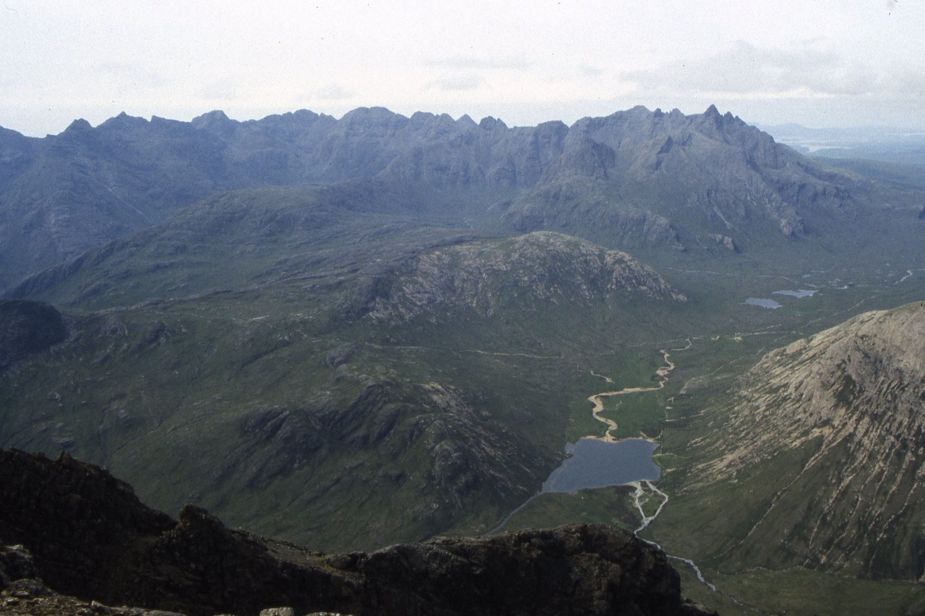
A Cuillin outlier above Loch Slapin, the only Munro on Skye not on the Cuillin Ridge, climbed on a rocky Strathaird Estate path from Torrin.
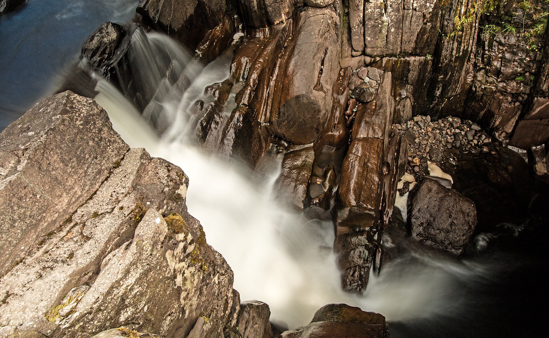
A short, easy woodland walk from Callander to a series of falls on the Keltie Water, crossed by a footbridge above a rocky gorge.
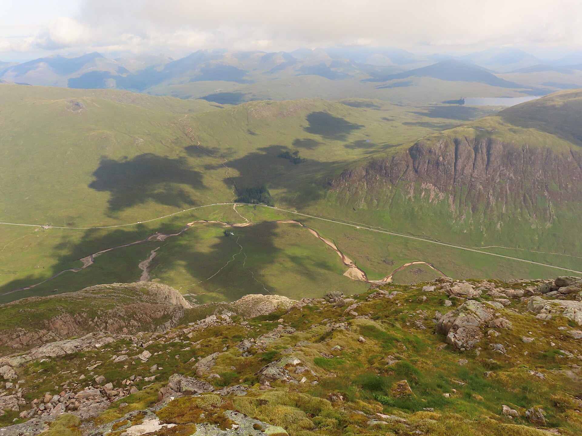
A pyramid-shaped Munro guarding Glen Coe's eastern end, climbed by Coire na Tulaich to Stob Dearg and traversed on to Stob na Bròige.
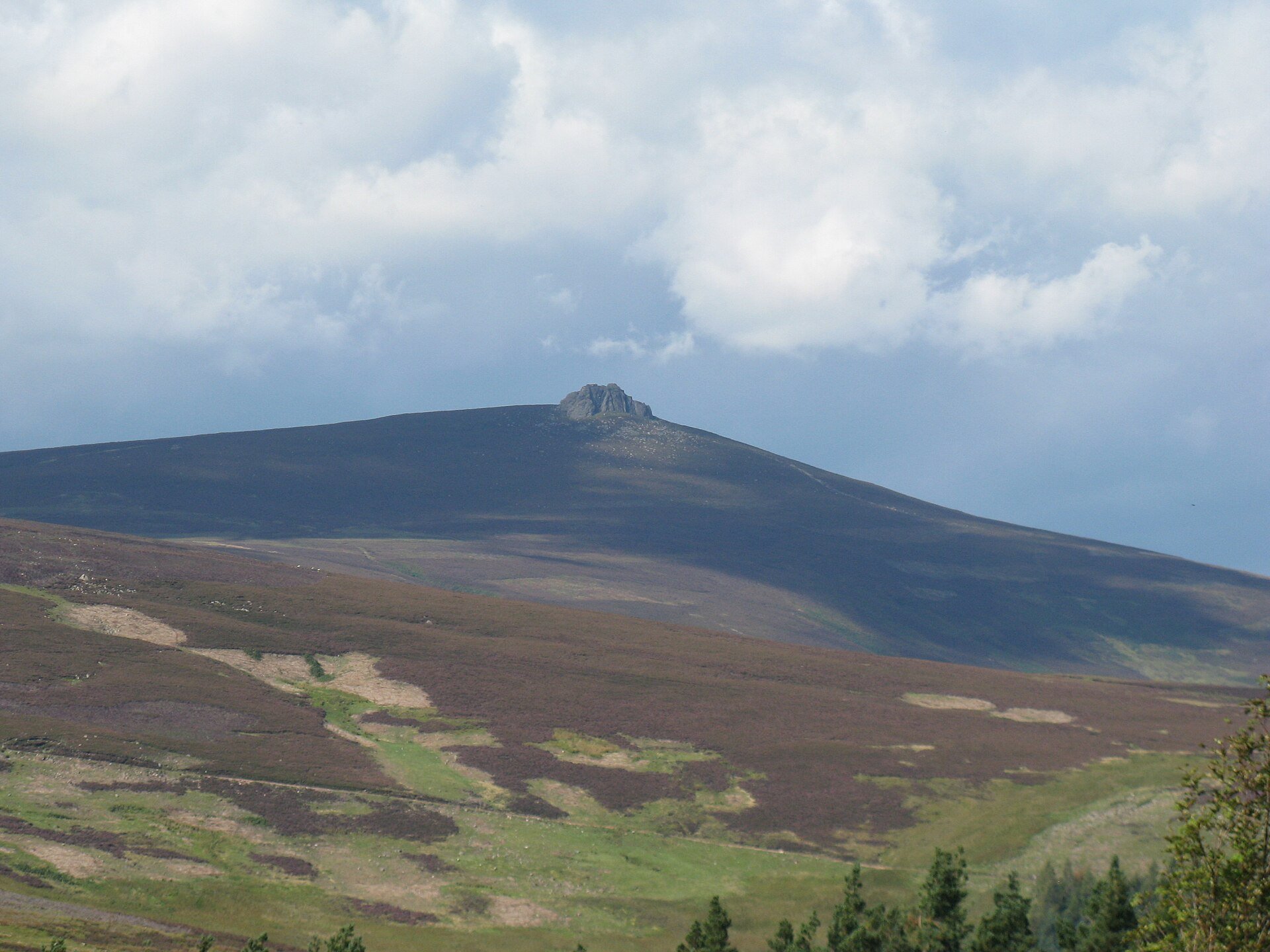
A 589m Aberdeenshire hill in Glen Dye, climbed on a built path to a granite tor that ends in an easy scramble, 9km and 511m of ascent.
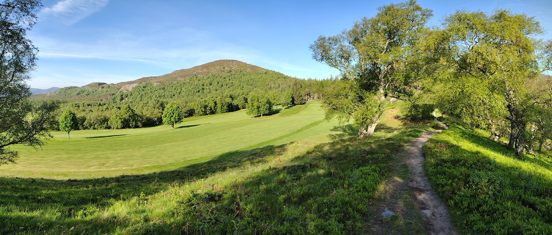
A small hill of 487m above Kingussie, walked from the town centre over a rocky summit, with views of Loch Gynack and a return through pinewoods.
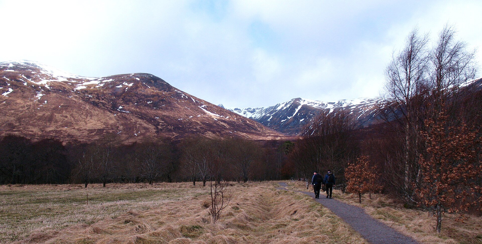
A Munro of 1,128m above Loch Laggan, climbed from Aberarder through a regenerating national nature reserve, with the Window and a cliff-ringed corrie.
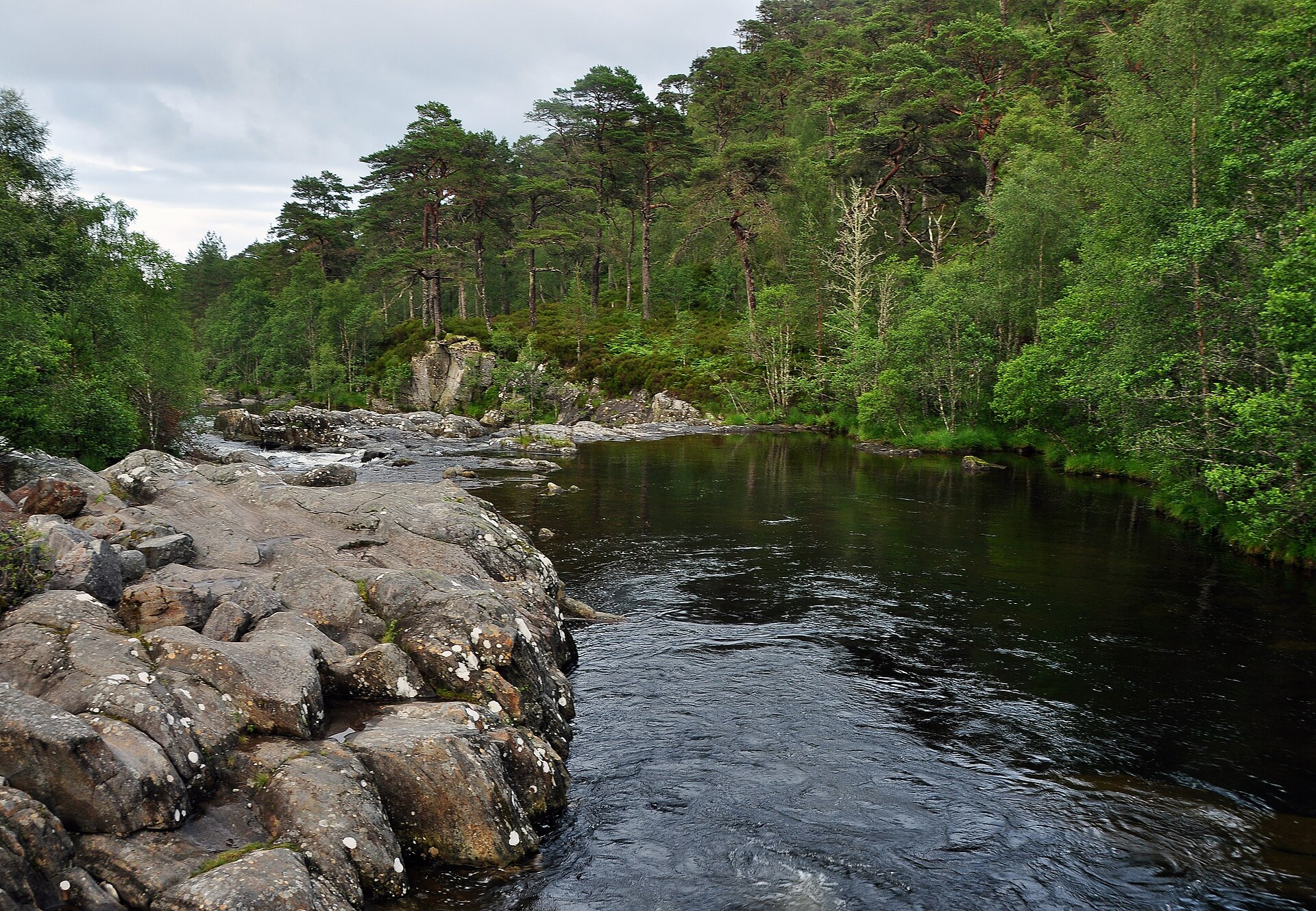
A 6km waymarked circuit through Glen Affric's ancient Caledonian pinewood, from the River Affric gorge at Dog Falls to a dragonfly loch, near Cannich.
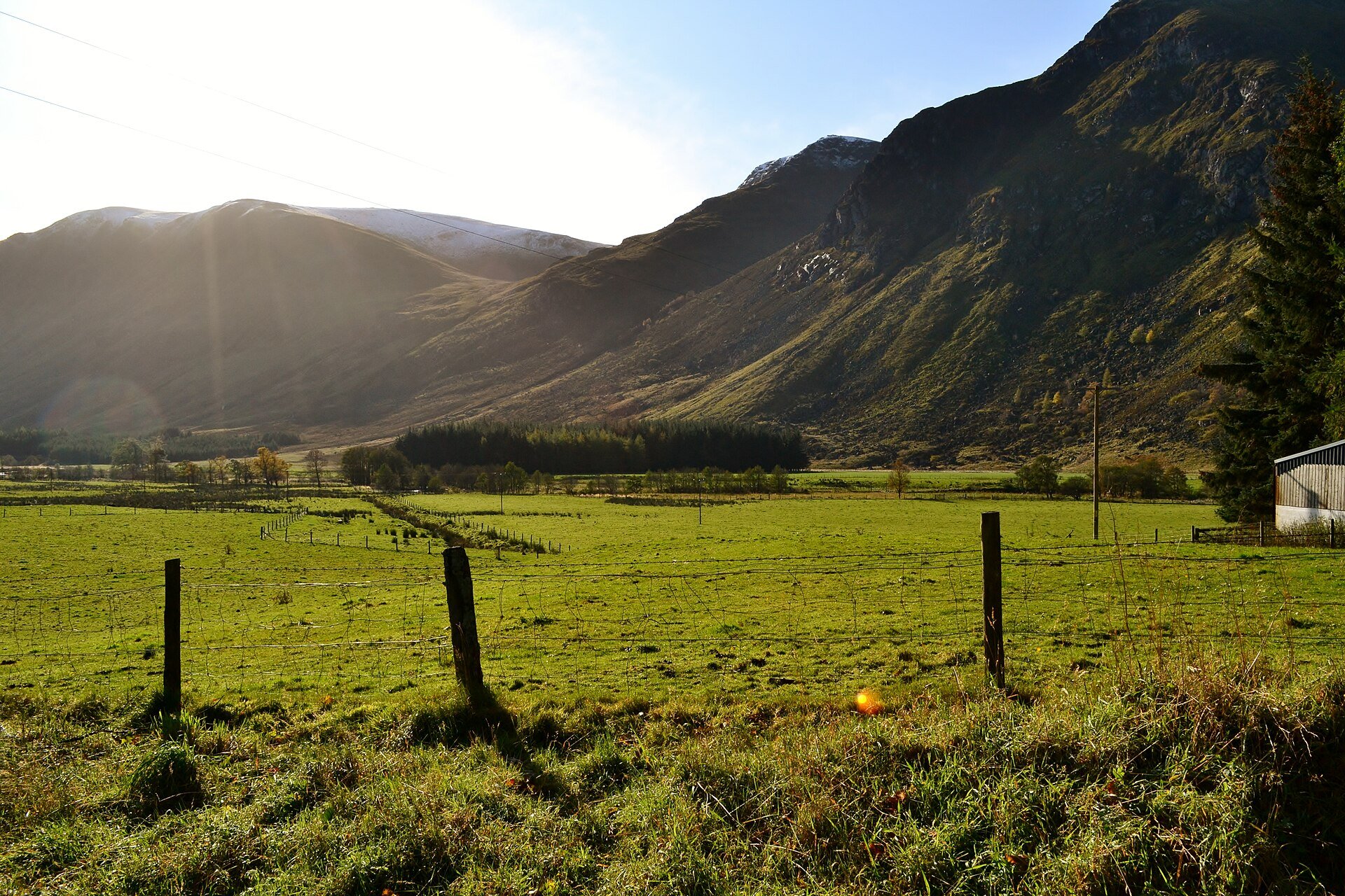
Two Munros on the plateau above Glen Clova, reached through the glacial amphitheatre of Corrie Fee and left by the Kilbo path, in 14.5km and 835m.
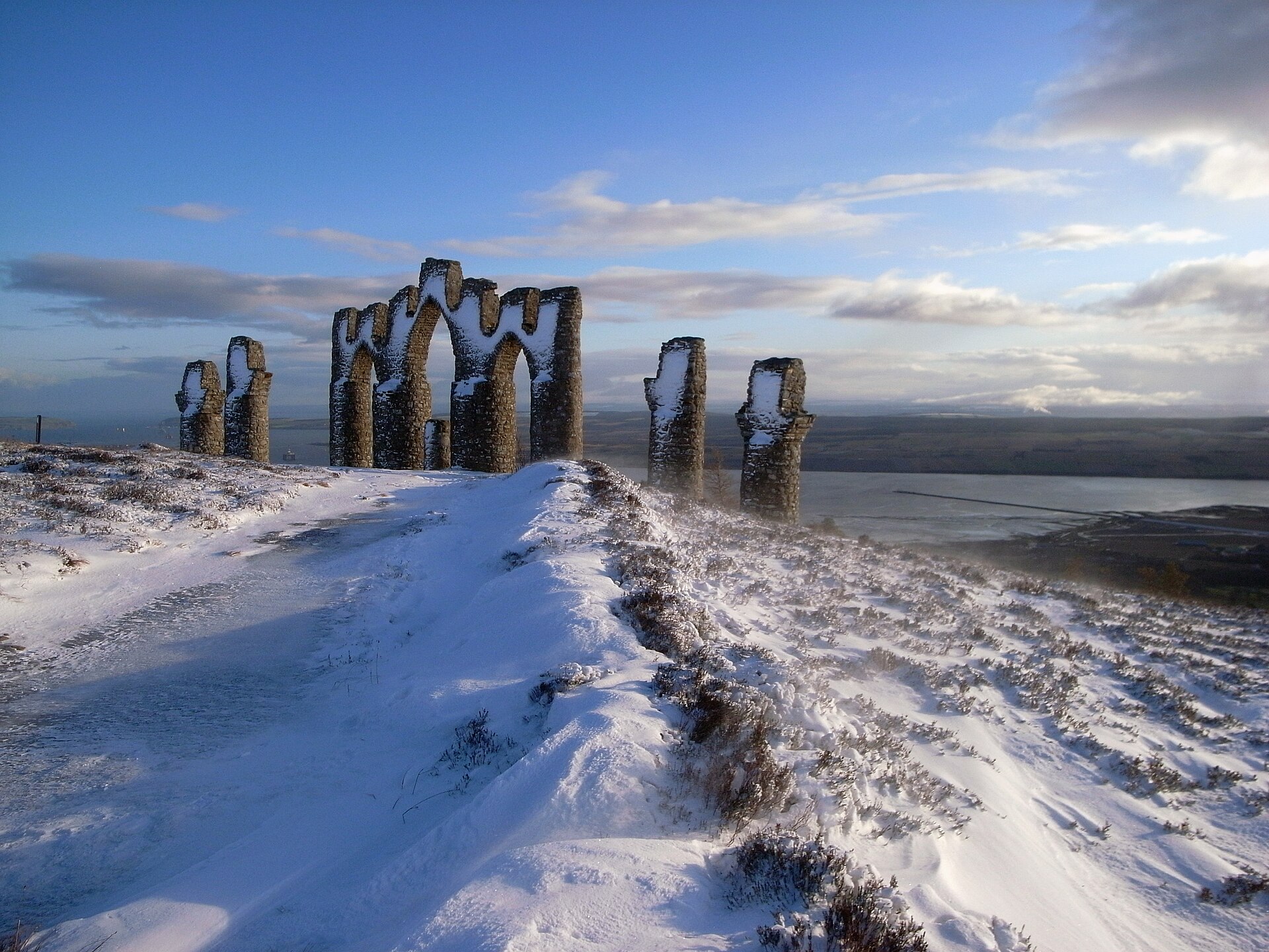
A 6km woodland climb to Sir Hector Munro's replica of the gates of Negapatam, built in 1782 with the whole Cromarty Firth laid out below it.
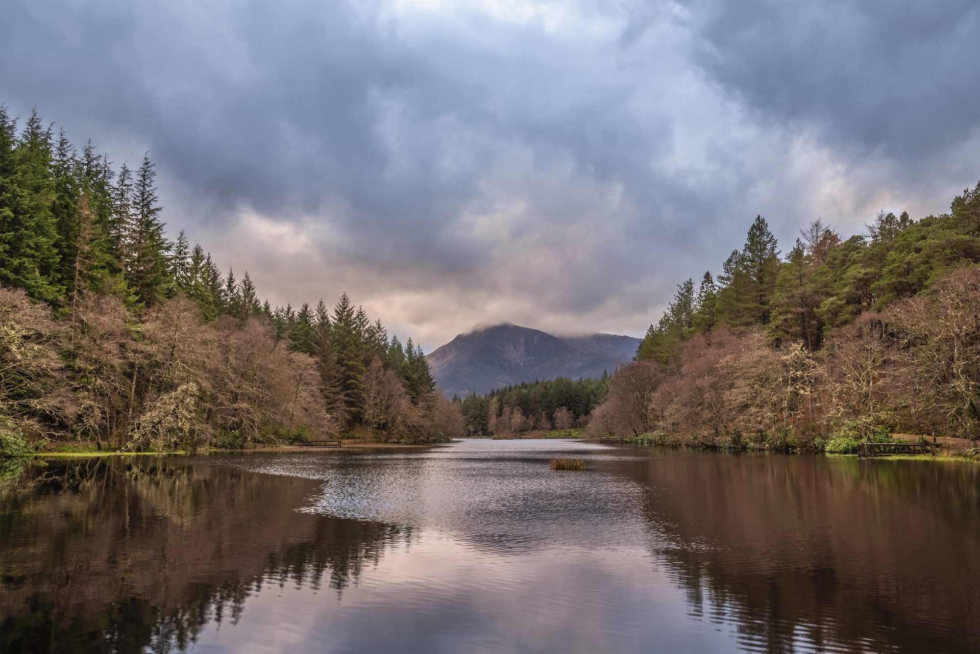
A flat, waymarked forest loop around an artificial lochan above Glencoe village, with views of the Pap of Glencoe.
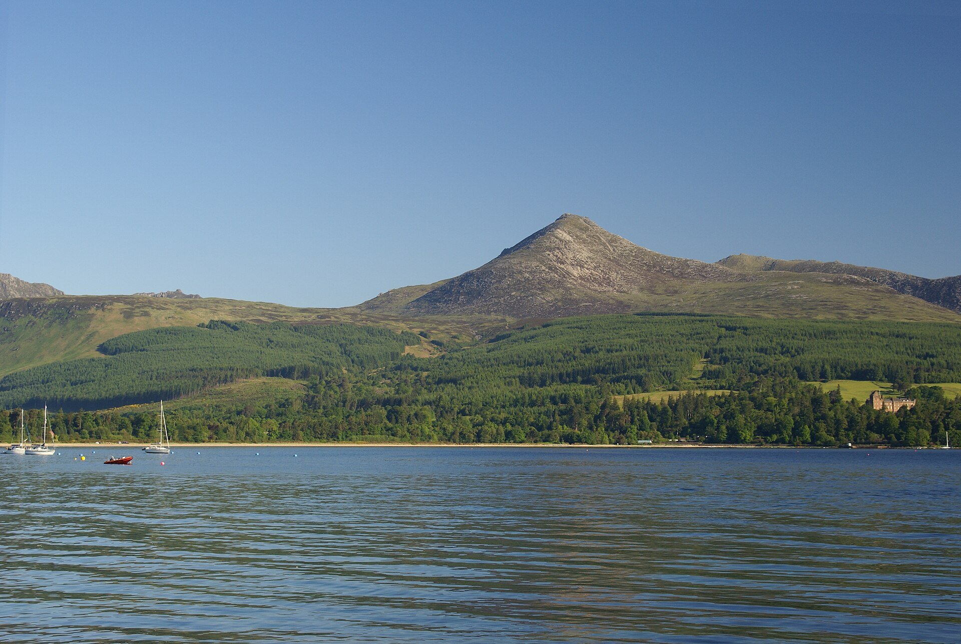
Arran's highest summit at 874m, climbed from Cladach on the National Trust for Scotland path through woodland, moor and the last 200m of granite.
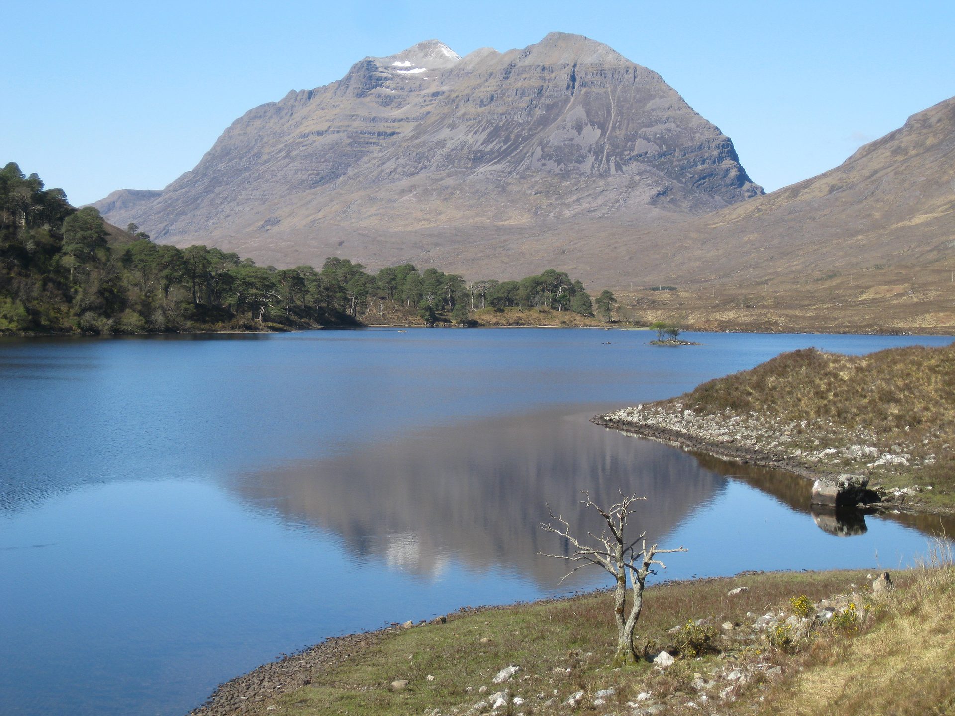
The two-Munro sandstone ridge above Glen Torridon, crossed over the Am Fasarinen pinnacles or the exposed path beneath them, in eight hours or more.
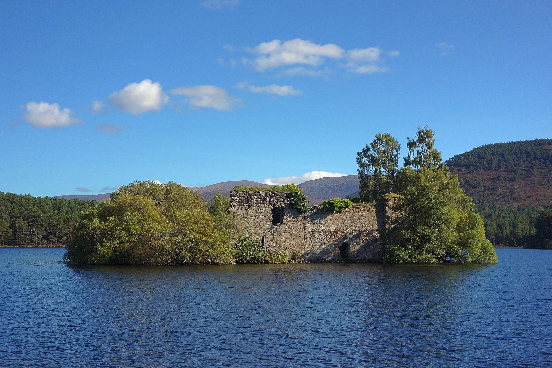
A flat, five-kilometre forest path around a loch with a ruined island castle, a popular short walk in the Cairngorms.
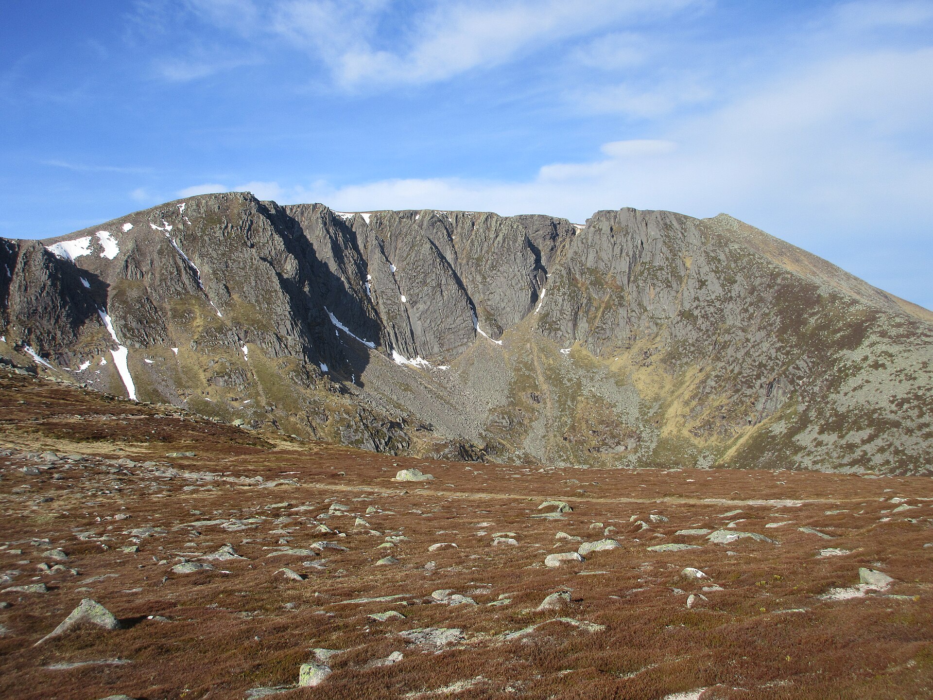
The highest and most visited mountain of the Mounth, circled from Spittal of Glenmuick on Balmoral estate land past its northern corrie, in 19km and 930m.
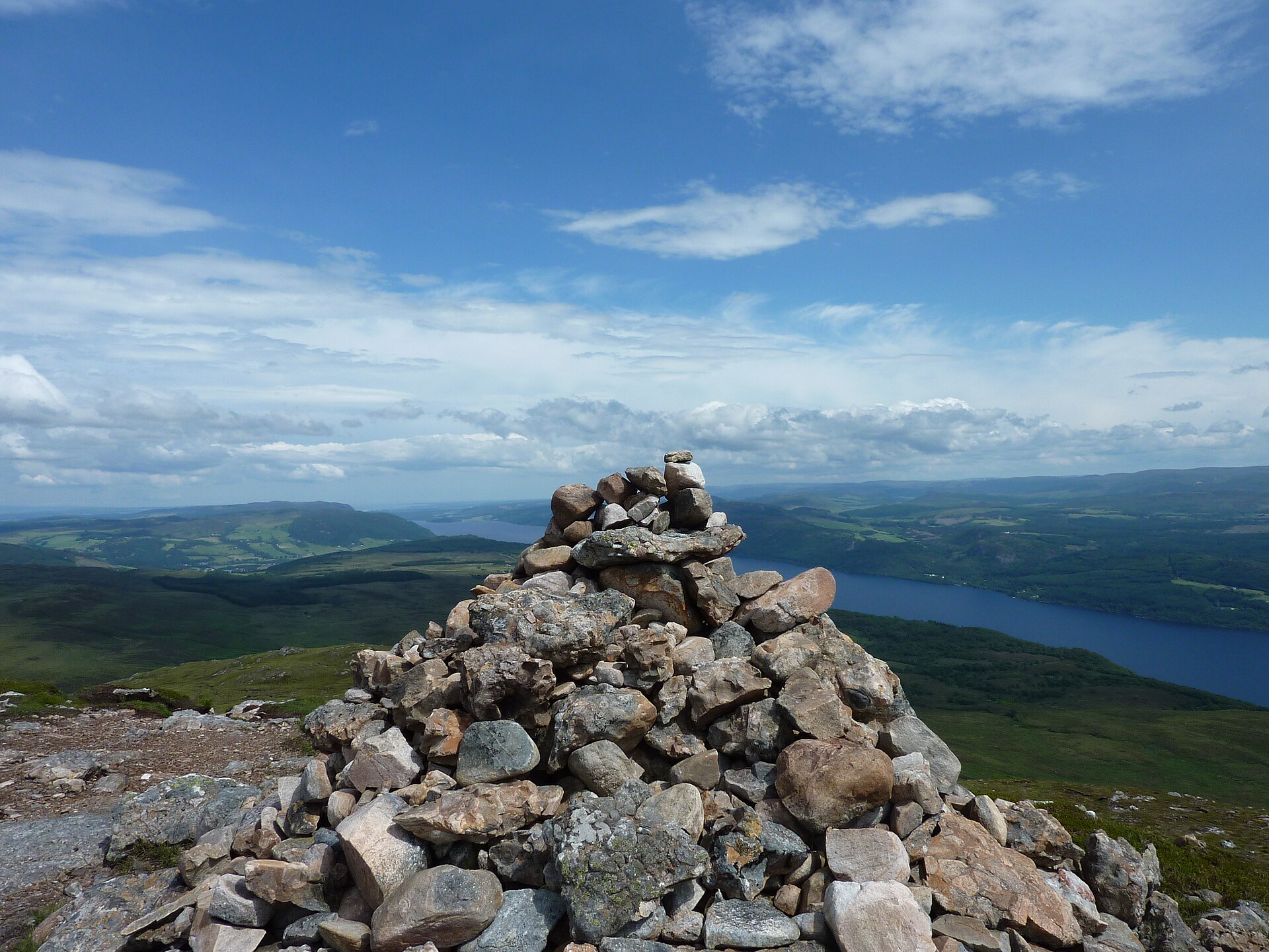
The 699m hill above Drumnadrochit, the most prominent summit around Loch Ness, 9km and 535m of ascent from the Bunloit road on a clear but boggy path.
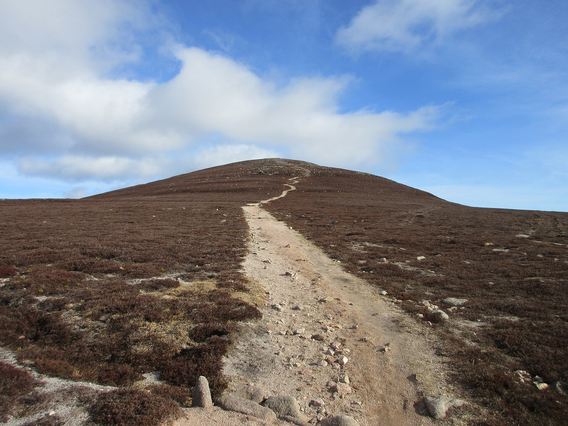
The most easterly Munro at 939m, climbed from Invermark past the Queen's Well on the old Mounth Road in 17.5km and 681m of ascent.
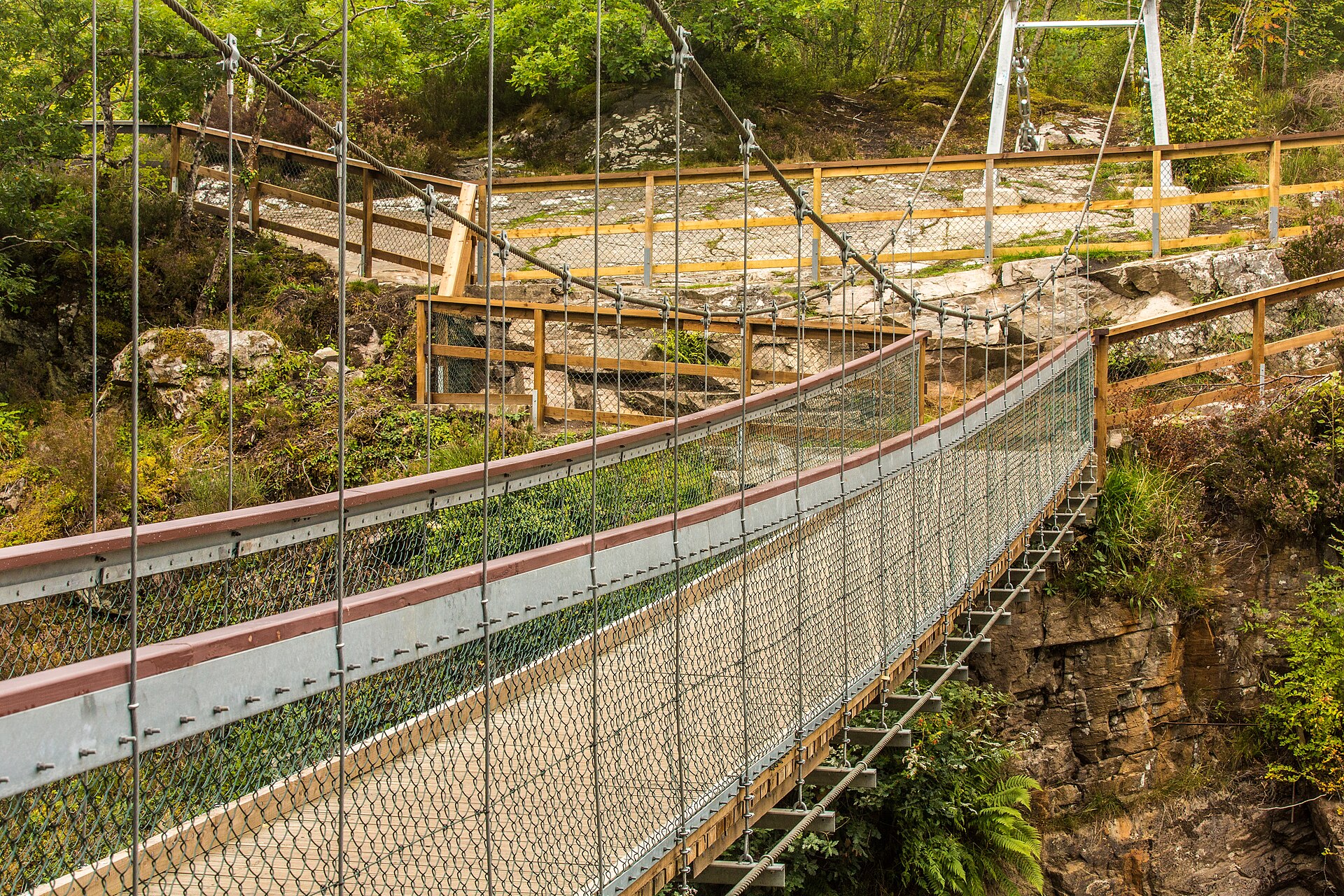
Forestry and Land Scotland's two short trails to a suspension bridge over the Black Water, with salmon leaping the falls in autumn, two miles from Contin.
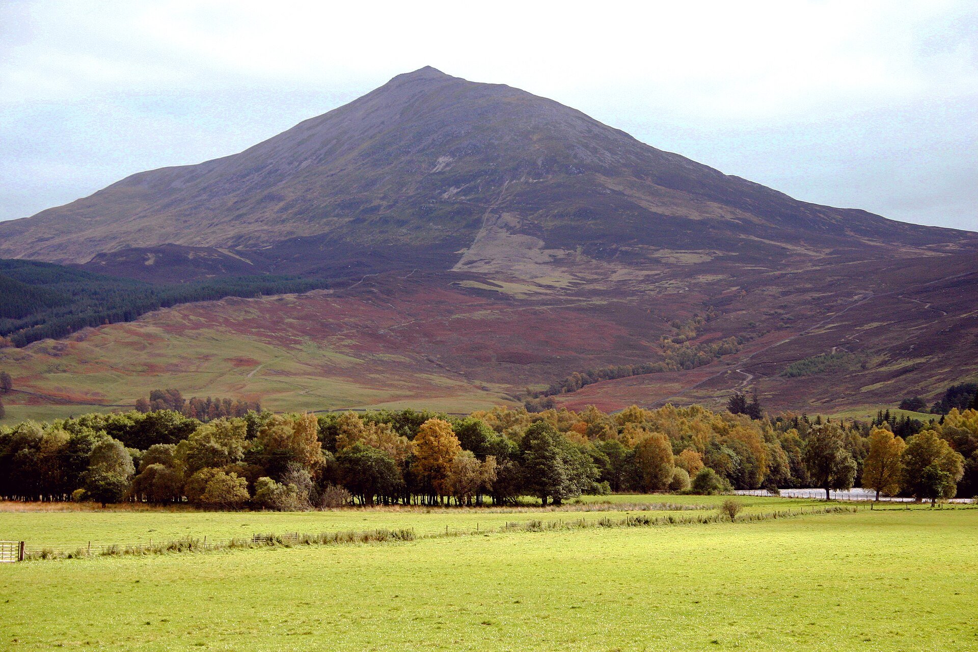
The cone of Perthshire, a 1,083m Munro climbed from Braes of Foss on a John Muir Trust path, ending on pathless quartzite boulders.
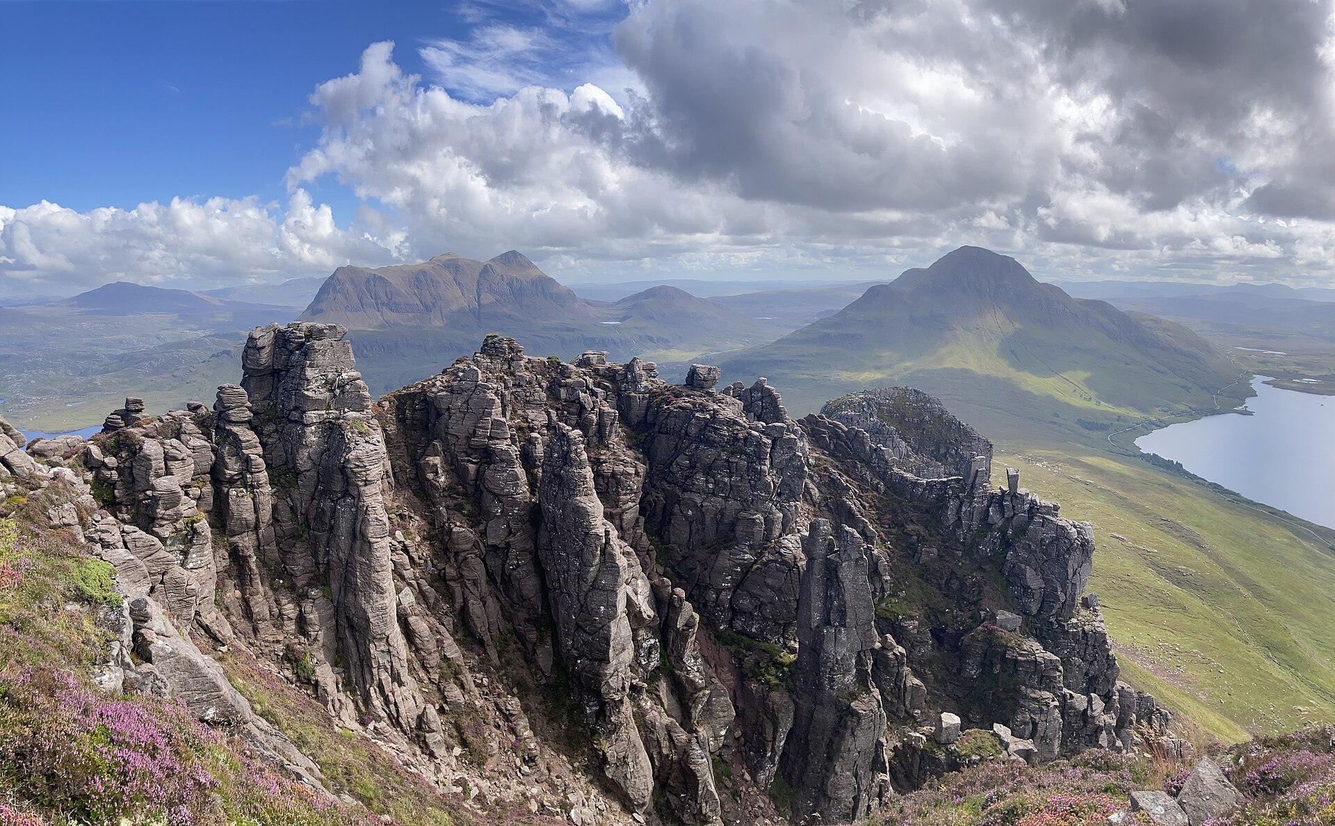
A short, steep sandstone hill with a serrated ridge of pinnacles above Loch Lurgainn in Coigach.
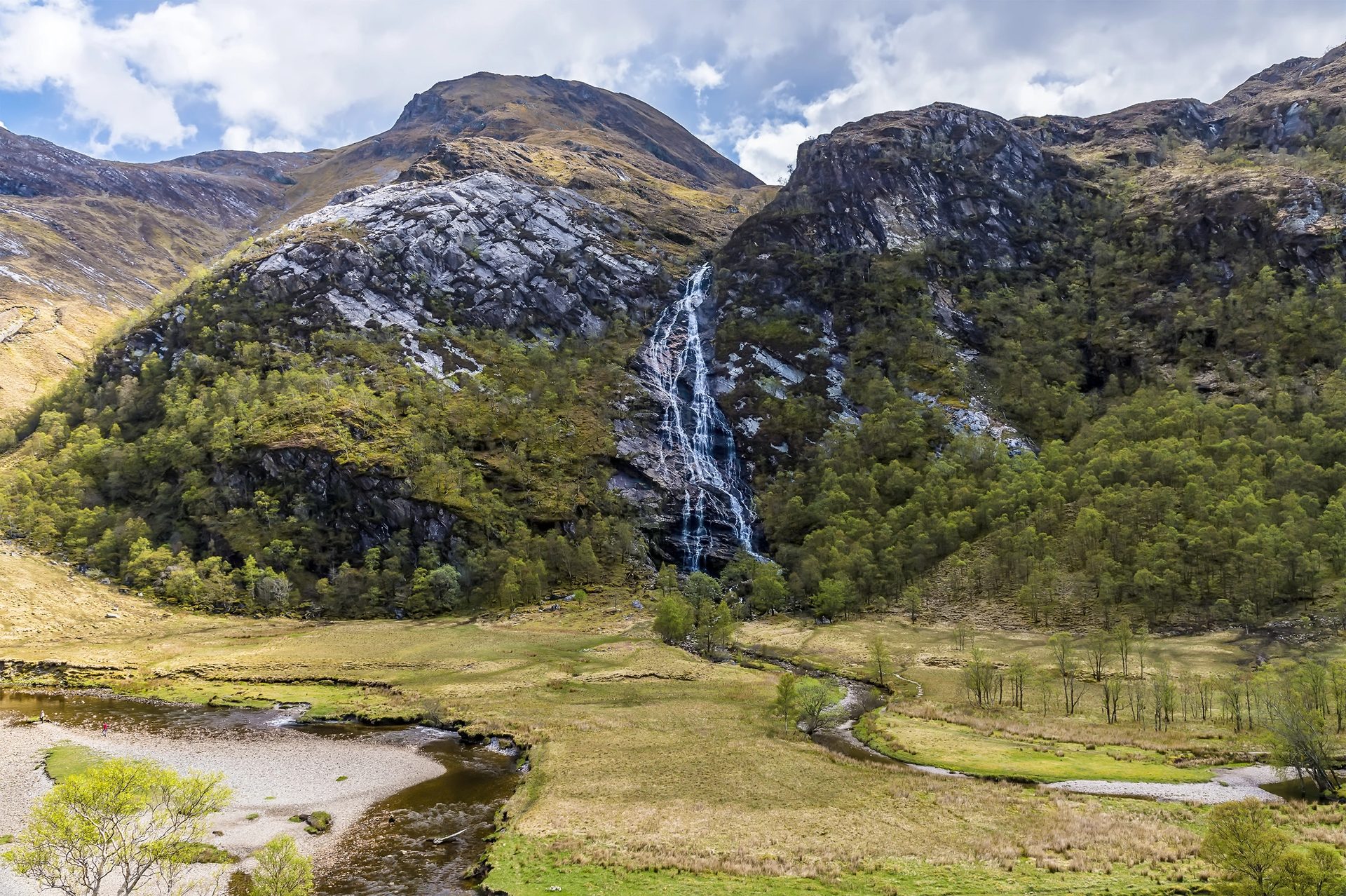
A short walk through the narrow Nevis Gorge to a waterfall of more than 100 metres, with an optional wire bridge crossing at the far end.
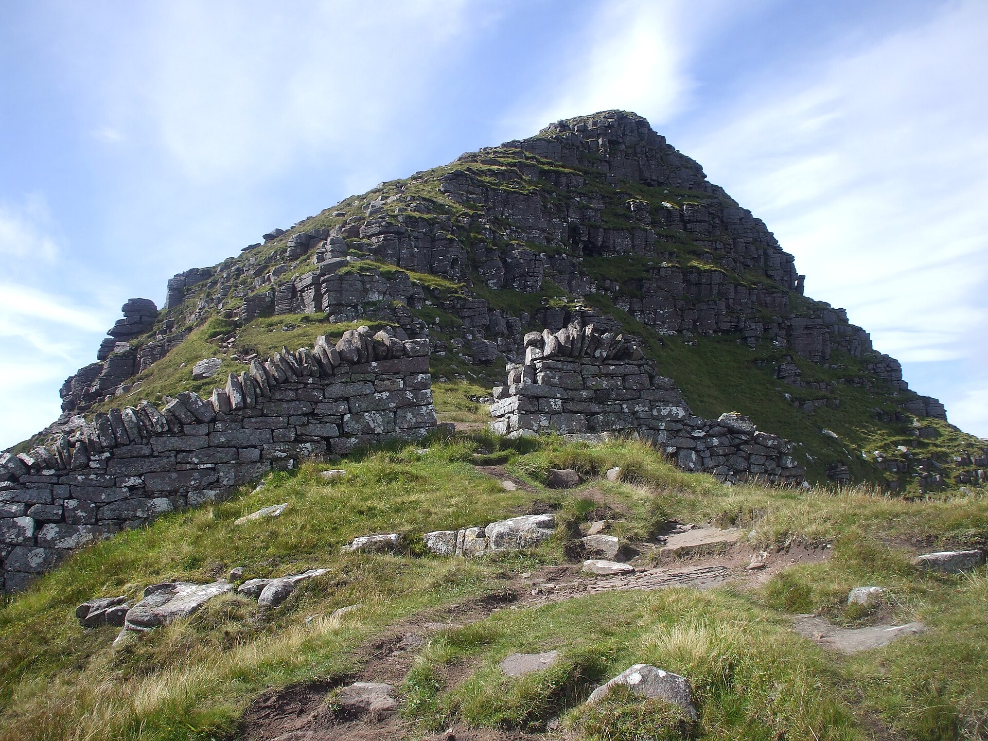
A sandstone tower above Assynt's loch-scattered moor, climbed on a long there-and-back path from Glencanisp on land the Assynt community bought in 2005.
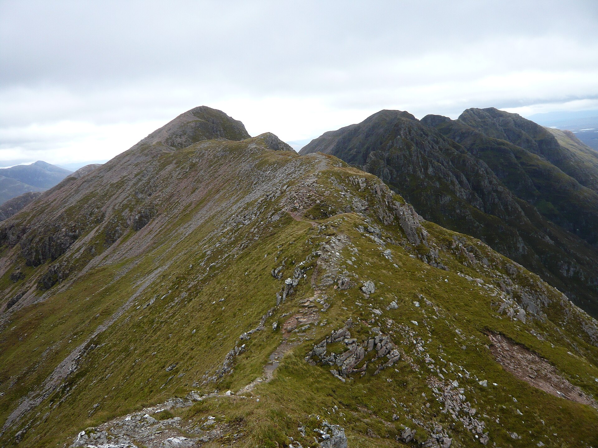
Famed as the narrowest ridge on the British mainland, a grade 2/3 scramble across Glen Coe linking two Munro summits with no easy way off.
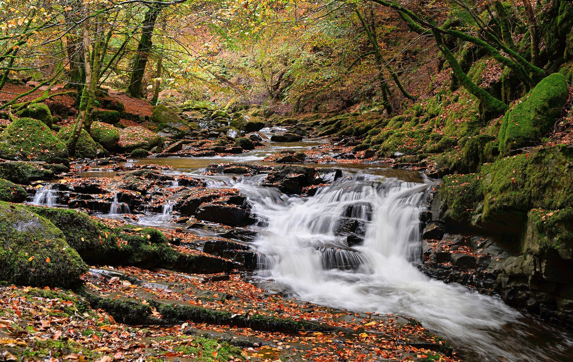
A 3.5km circuit up the wooded Moness Burn gorge above Aberfeldy to the Falls of Moness, where Robert Burns set a song in 1787.
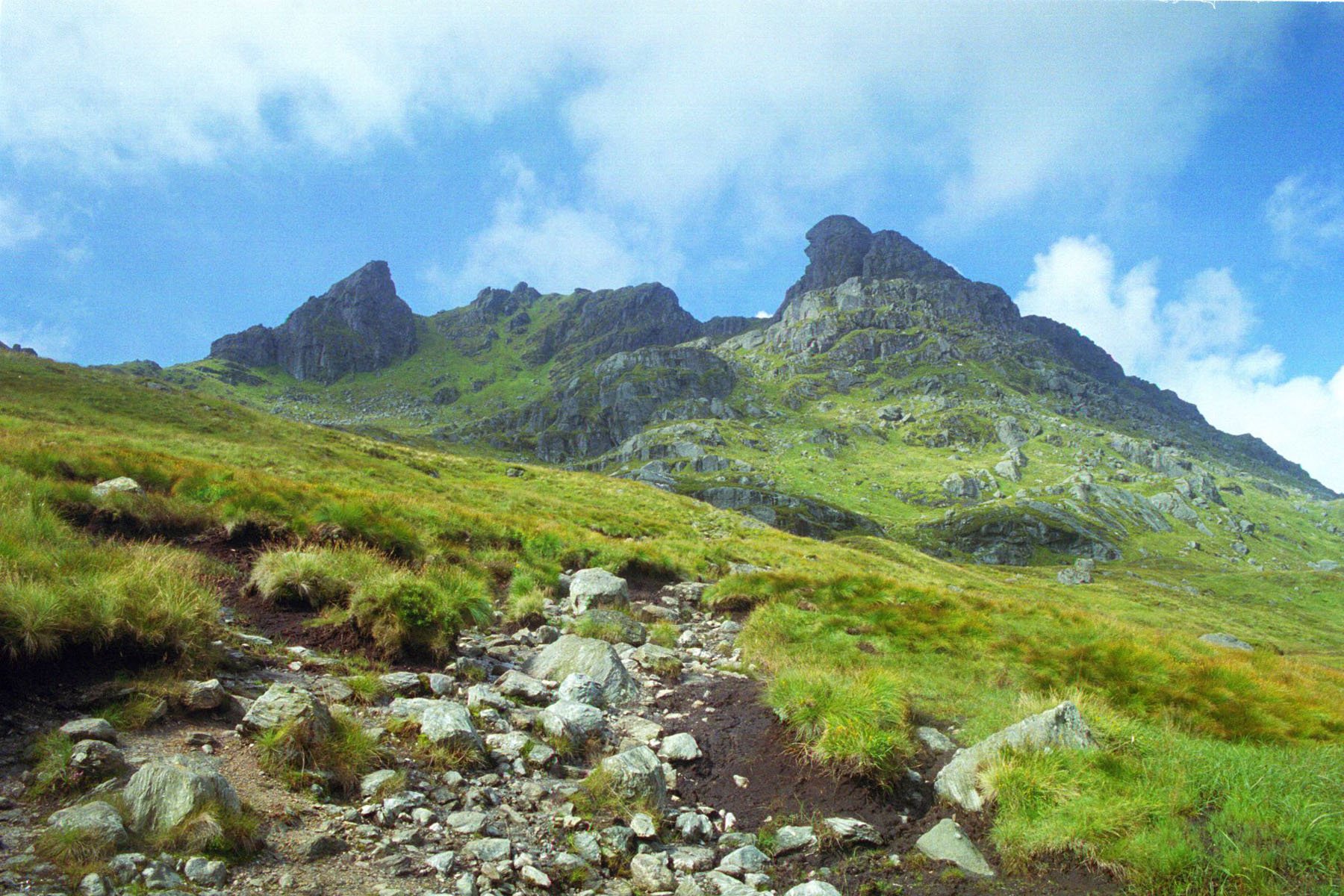
The three-peaked Corbett above Loch Long, climbed from Succoth on a built path, with a scramble through a rock pinnacle to reach the true summit.
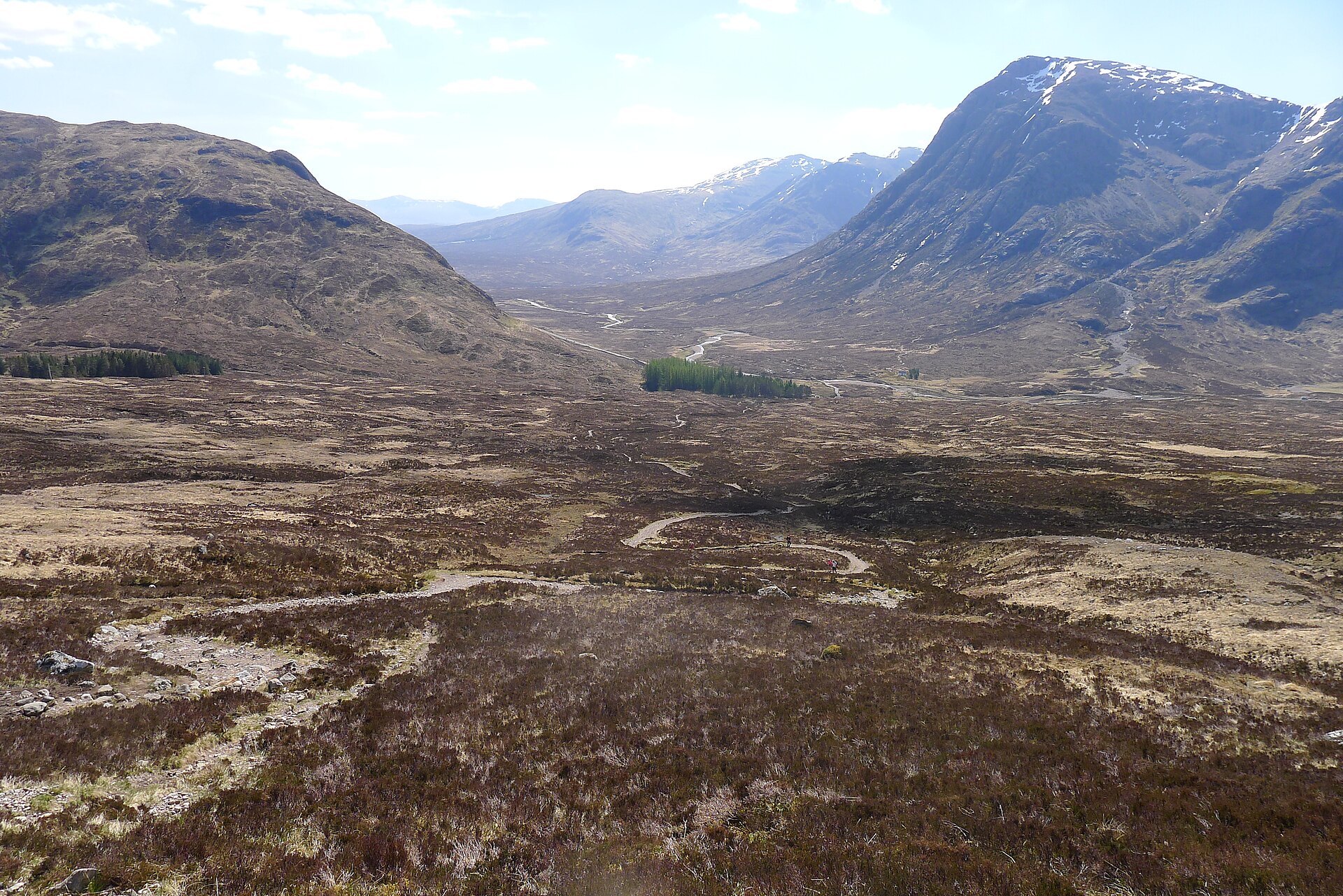
The West Highland Way's steepest, highest section, a zigzag climb from Altnafeadh to the highest point on the whole long-distance route.
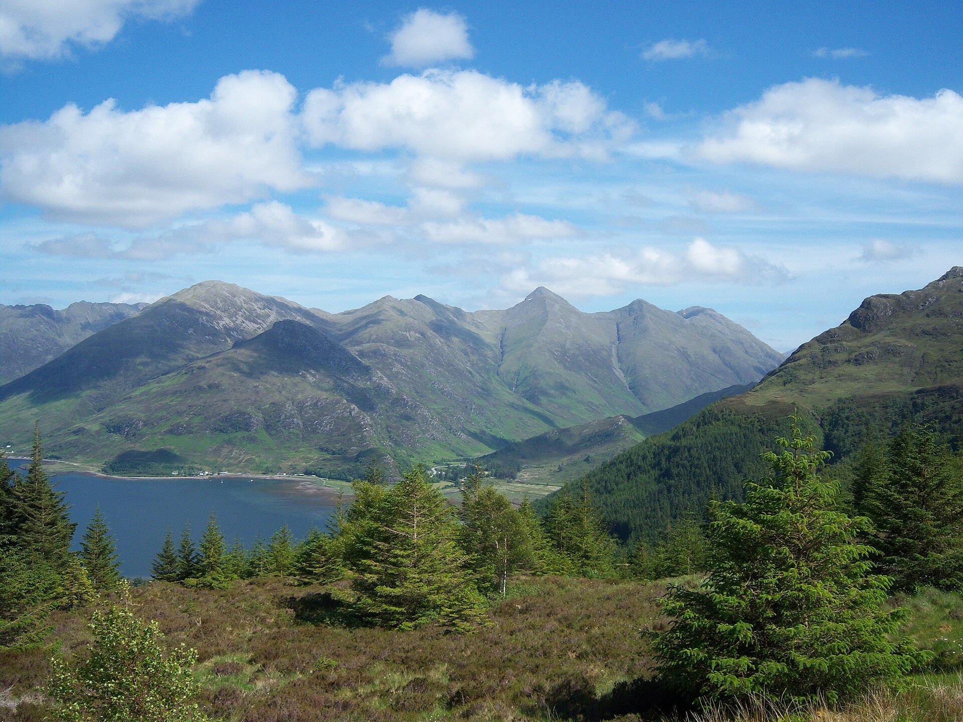
A linear ridge of three Munros above Glen Shiel, 12.4km and 1,400m of ascent, with a steep start, some scrambling and the need to arrange a way back.
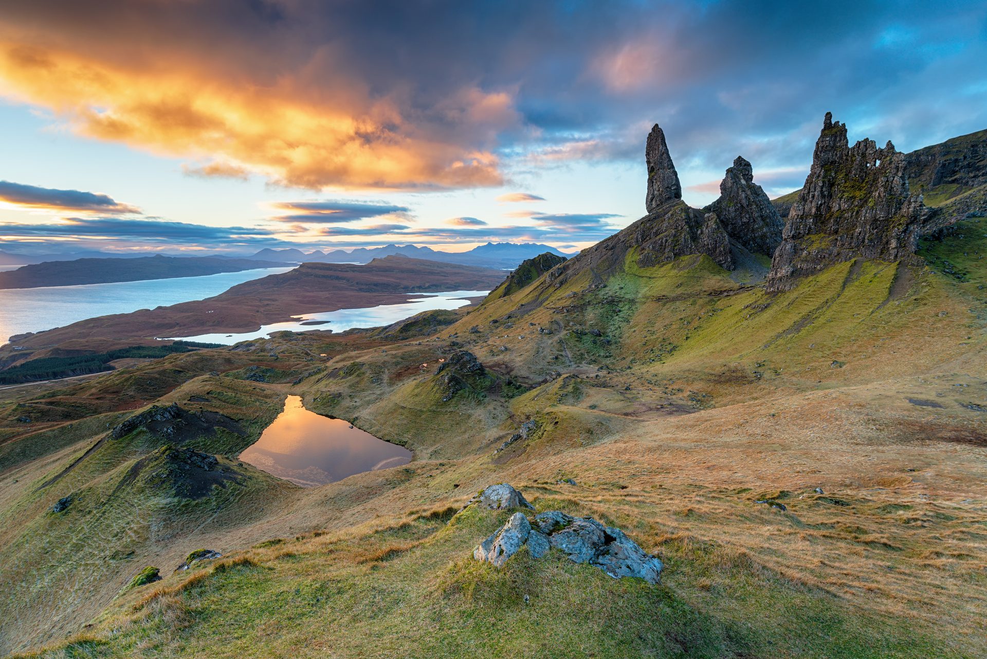
A steep, well-built path up to Skye's best-known rock pinnacle, part of the Trotternish landslip below the summit of the Storr.