Ben Wyvis from Garbat
Near Strathpeffer, Scotland
- Distance
- 14 km
- Ascent
- 935 m
- Time
- 5 hr
- Difficulty
- Hard
- Summit
- 1,046 m
- Shape
- There and back
- Parking
- Limited
- Dogs
- Yes: in sight and under close control, ideally on a lead, NatureScot asks
Start: Ben Wyvis car park, signed off the A835 north of Garve
Grid ref: NH 410671
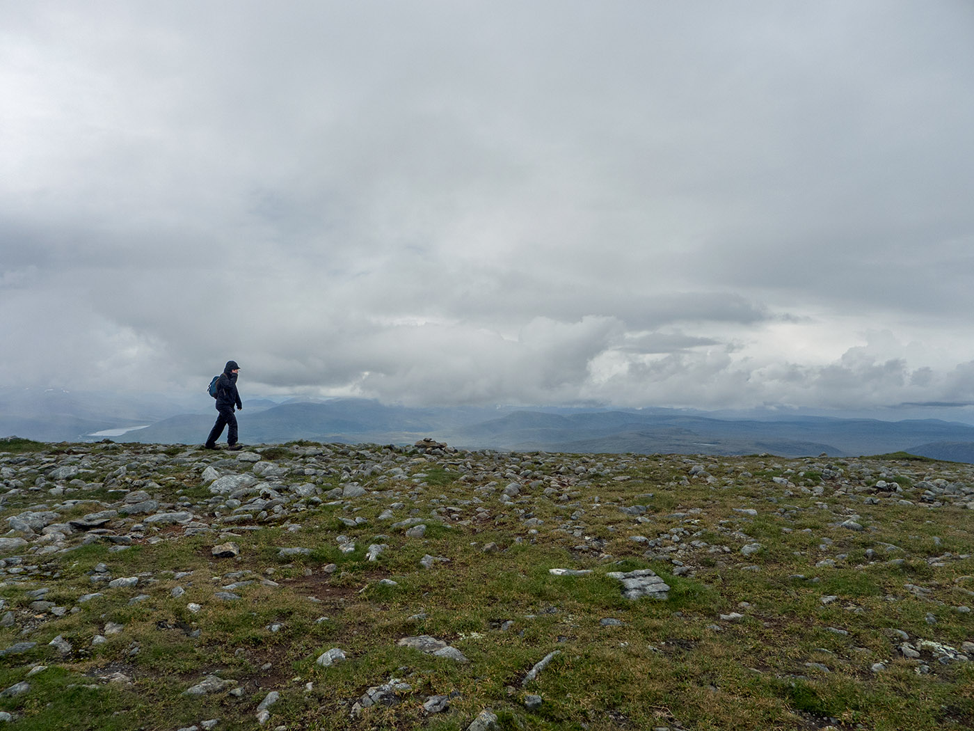
Ben Wyvis is the isolated massif north-west of Dingwall whose long back fills the skyline from most of Easter Ross and the Black Isle. Its summit, Glas Leathad Mòr, the great green slope, is 1,046m, a Munro with nothing of comparable height near it. NatureScot manages the mountain as a National Nature Reserve, established in 1982 and covering 23 square kilometres, for the woolly hair-moss on the summit plateau, one of the longest single tracts of that habitat in Britain, and for the dotterel that breed on it, a population NatureScot’s management plan calls internationally important. A clan battle, Bealach nam Bròig, was fought in the pass below the mountain around 1452.
The usual route starts at the small Ben Wyvis car park signed off the A835 north of Garve, which has a height barrier and fills quickly; Walkhighlands notes a layby 400m north with room for a few more cars. A path crosses the Allt a’ Bhealaich Mhòir by a footbridge and follows its north bank up through the forest, over a forestry track and onto open ground below An Cabar. From there a stone path built to keep boots off the bog climbs steeply in steps to the 946m top of An Cabar, and the gradient eases over Càrn a’ Chaptein to the trig point. NatureScot asks walkers to keep to a single line along the centre of the path across the plateau, because the thin soils under the moss do not recover from a spread of boots.
At 14km and 935m of ascent, Walkhighlands gives four and a half to five and a half hours for the return by the same route, and calls it a reasonably straightforward Munro in good summer conditions. The one hazard worth naming is the navigation: the broad top offers nothing to follow once the cloud comes down, so a map and compass are part of the kit. Wyvis suits a fit walker who wants one big Highland day from a base on the Cromarty Firth or around Inverness. Children, anyone unused to 900m of climbing in a day, and a day with cloud on the plateau without a compass all argue for another hill. Fyrish Monument, above the Cromarty Firth, looks over the whole firth from 292m of ascent.
Underfoot
Forest path beside the Allt a' Bhealaich Mhòir, then a steep built stone path in steps to An Cabar, and a broad mossy plateau open to the weather with no handrail in cloud.
Stay within reach of the start
Booking through these links earns a commission. The price is the same.
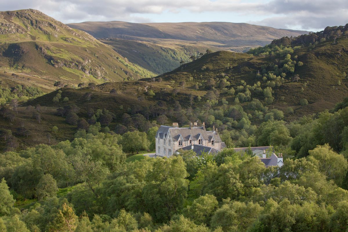
Garve
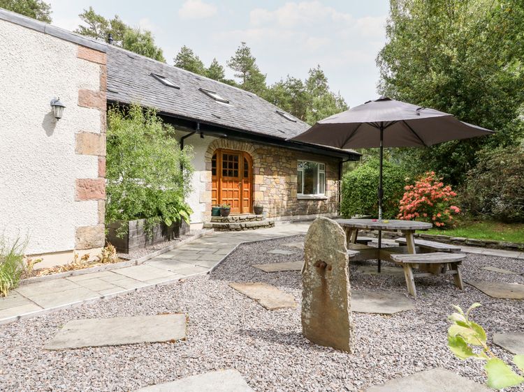
Tigh Na Drochit
Sleeps 10 · 5 beds
- Wood burner
- Dogs
from £1,148 / week
Check dates for Tigh Na Drochit (opens the booking site in a new tab)Checked 9 Oct
Strathpeffer, near Dingwall, The Highlands
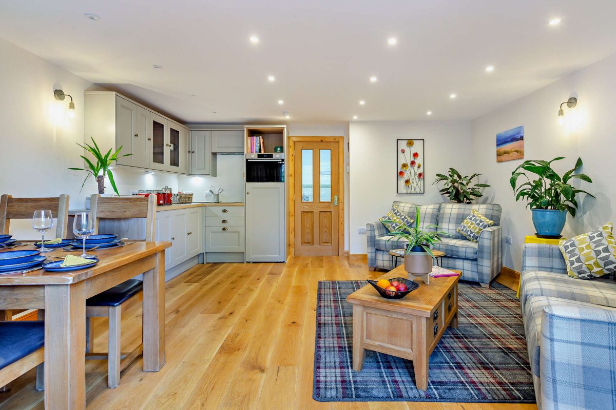
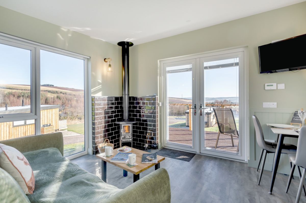
Highfield Lodge
Sleeps 2 · 1 bed
- No dogs
from £533 / week
Check dates for Highfield Lodge (opens the booking site in a new tab)Checked 5 Oct
Strathpeffer
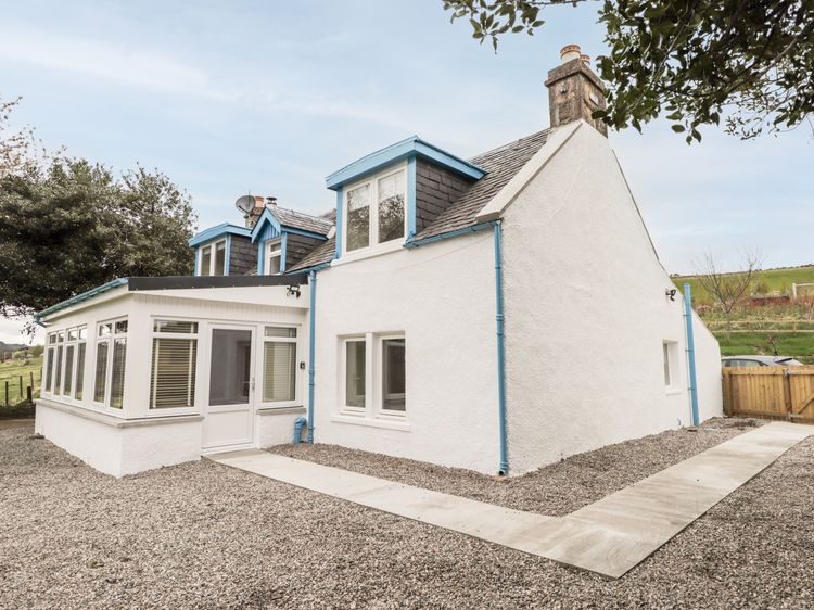
Balnaird Farmhouse
Sleeps 3 · 2 beds
- No dogs
from £462 / week
Check dates for Balnaird Farmhouse (opens the booking site in a new tab)Checked 9 Oct
Strathpeffer
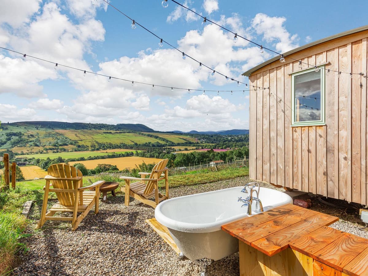
Woodside Croft - Woodside Hut 1
Sleeps 2 · 1 bed
- Hot tub
- No dogs
from £387 / week
Check dates for Woodside Croft - Woodside Hut 1 (opens the booking site in a new tab)Checked 24 Oct
Distances, ascent and times here are planning figures taken from published sources, not a route description to navigate by. Take a map and check the forecast.