Fyrish Monument from the Boath road
20 km from Strathpeffer, Scotland
- Distance
- 6 km
- Ascent
- 292 m
- Time
- 2 hr 30 min
- Difficulty
- Moderate
- Shape
- There and back
- Parking
- Limited
- Dogs
- Yes: under close control, as the signs at the start ask, Live Breathe Scotland says
Start: Fyrish car park on the minor road to Boath, above Evanton
Grid ref: NH 627714
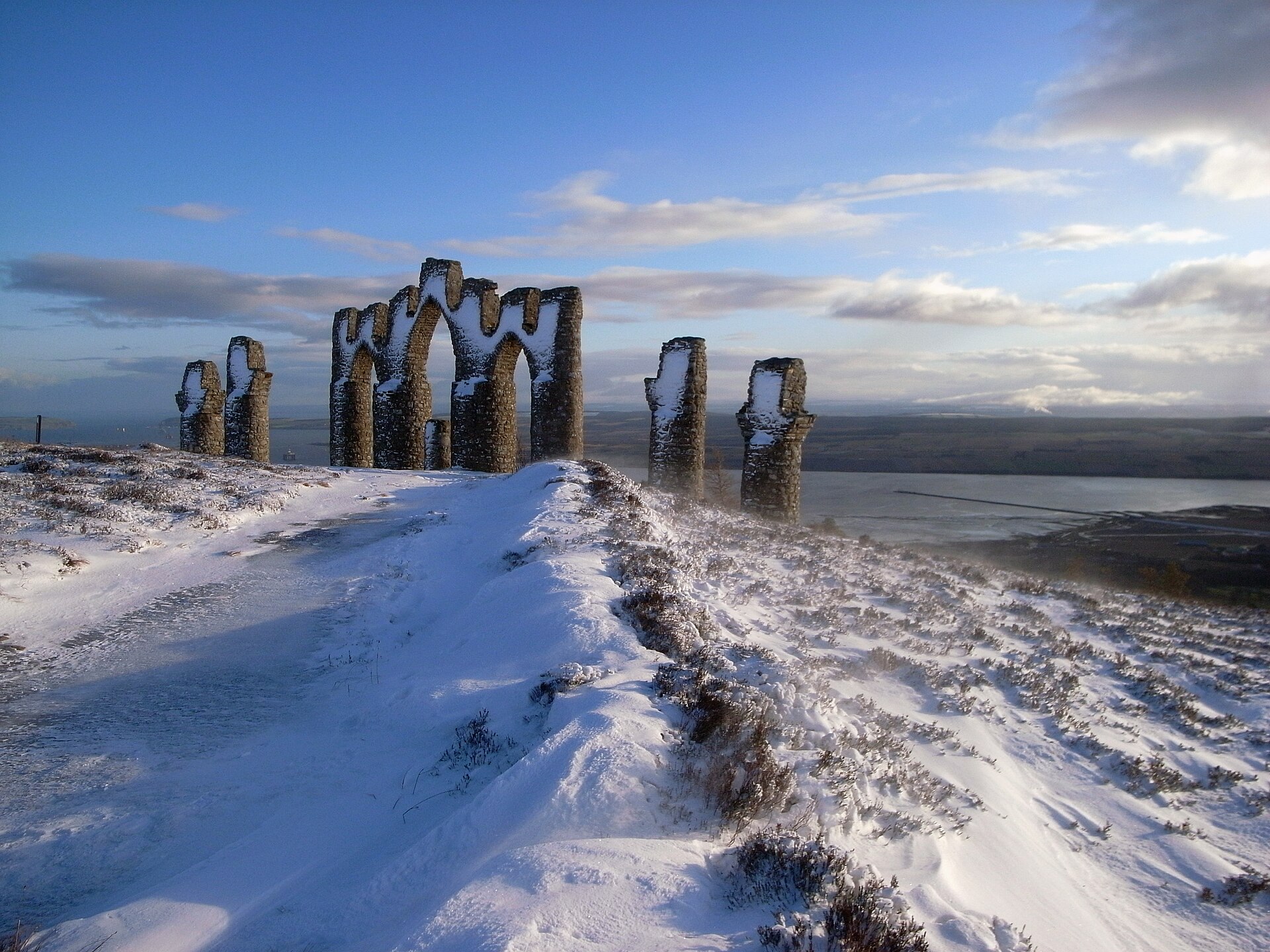
The monument on Cnoc Fyrish, above Evanton and Alness in Easter Ross, is a row of arches and towers that can be seen from most of the A9 along the Cromarty Firth, and it is a folly with an unusually exact story. Sir Hector Munro of Novar, the local laird and the general who took the port of Negapatam from the Dutch in 1781, had it built in 1782, or 1783 by Walkhighlands’ account, as a copy of that town’s gates. It went up while the local population was being cleared from the land, as relief work: Walkhighlands says famine relief was given only in return for work, and Wikipedia records that it was built to keep the locals in labour. Wikipedia adds that Munro had stones rolled back down the hill so the work, and the pay, would last longer.
The Jubilee Path starts at a small purpose-built car park on the minor road to Boath, at NH 627714, and is signed from the gate. It undulates through the forest, crosses a forestry track, drops a flight of stone steps to a footbridge over a burn and climbs the far side, then leaves the trees for open moorland, with a small lochan beside the path and a signed track on the right that makes an alternative return. The monument is about half a kilometre beyond that crossroads. Walkhighlands describes the path as good throughout, with a fair amount of up and down, and Ordnance Survey Explorer 438 covers it.
Walkhighlands gives the walk as 6km with 292m of ascent, two to two and a half hours. The reward is the whole sweep of the Cromarty Firth, from the North Sea inland to the hills of Ross-shire, and the monument itself, three central arches and four flanking towers, is larger close up than it looks from the road. A family, or anyone based on the Invergordon or Alness side of the firth who wants a climb without a mountain’s commitment, will find it suits a first afternoon in Easter Ross. Parents counting on level ground for small children will be let down, because the path climbs and drops repeatedly before it climbs for good, and a hillwalker after a summit day will find none here. Ben Wyvis, whose long back fills the western end of the view, is the Munro for that walker.
Underfoot
Good woodland path with a fair amount of up and down, a flight of stone steps and a footbridge, then open moorland to the monument.
Stay within reach of the start
Booking through these links earns a commission. The price is the same.
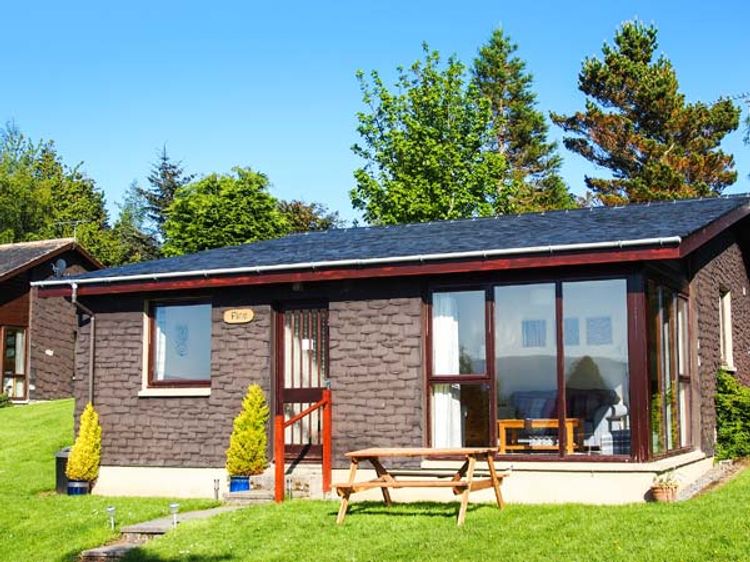
Alness, Northern Scotland
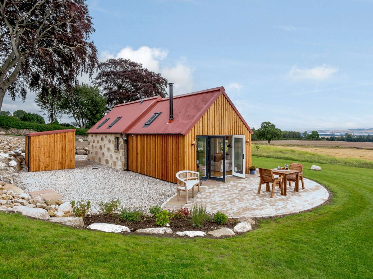
The Bothy At Nonikiln
Sleeps 2 · 1 bed
- Wood burner
- No dogs
from £639 / week
Check dates for The Bothy At Nonikiln (opens the booking site in a new tab)Checked 5 Oct
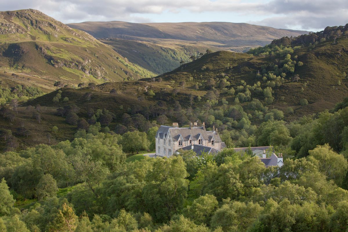
Alness
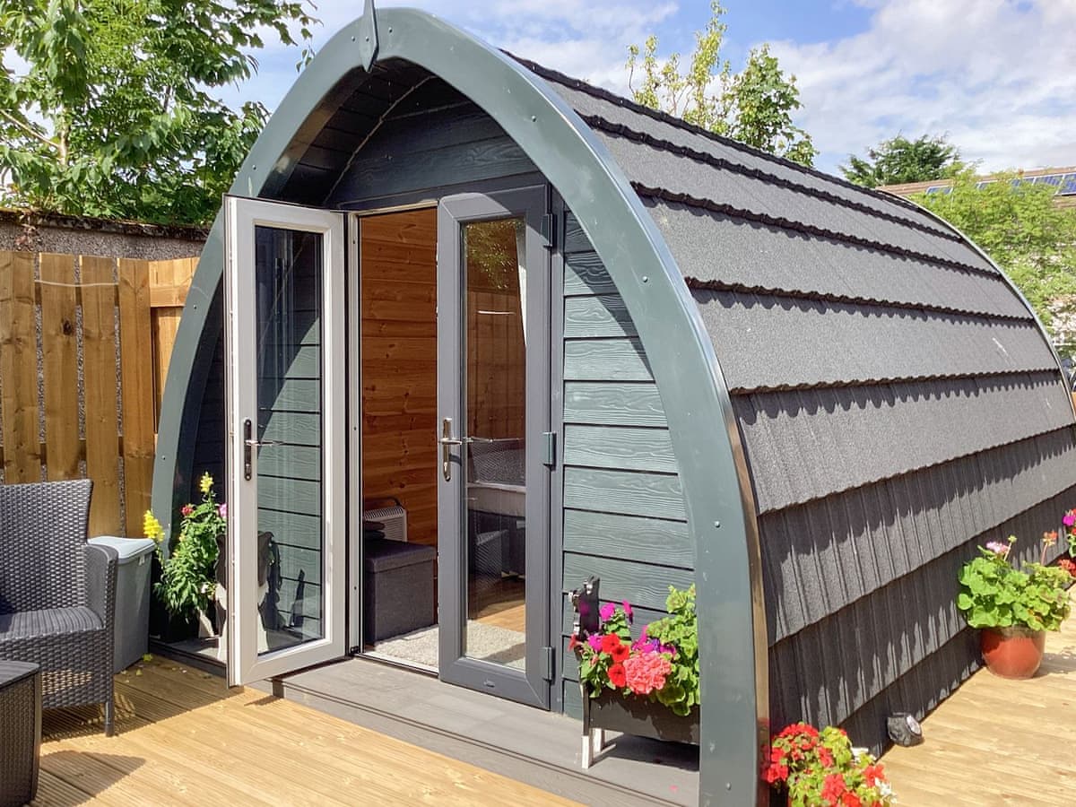
The Dalmore Pod
Sleeps 2 · 1 bed
- No dogs
from £383 / week
Check dates for The Dalmore Pod (opens the booking site in a new tab)Checked 24 Oct
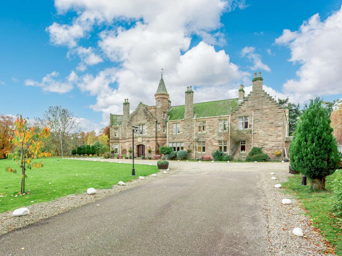
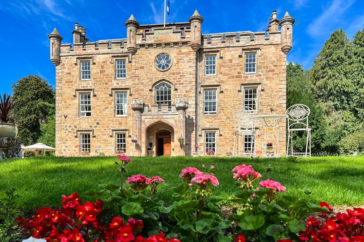
Alness, Northern Scotland
Grand Victorian Mansion
Sleeps 11 · 5 beds
- Dogs
from £2,088 / week
Check dates for Grand Victorian Mansion (opens the booking site in a new tab)Checked 5 Oct
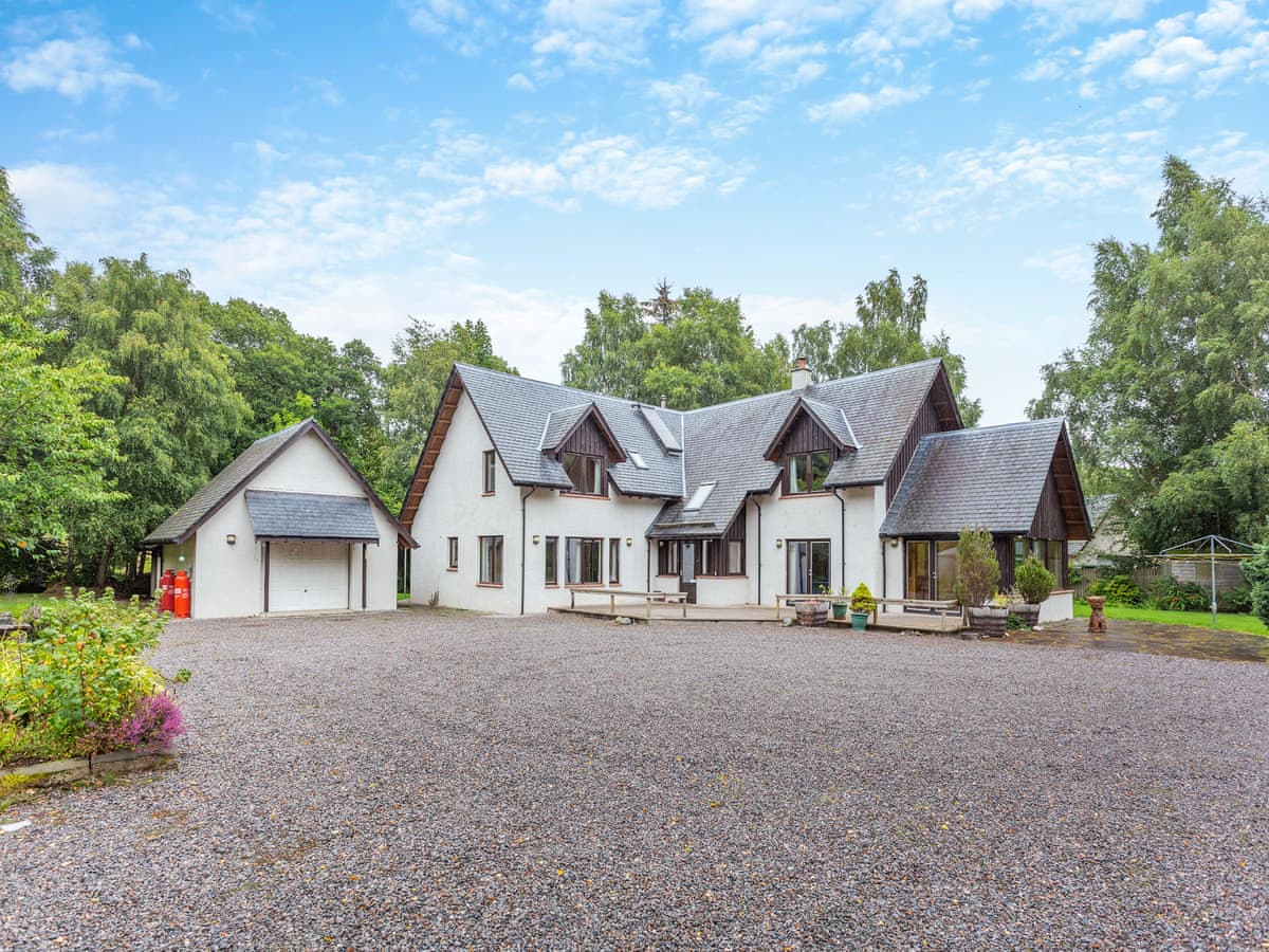
Evanton
Bridge House
Sleeps 9 · 5 beds
- Dogs
from £1,352 / week
Check dates for Bridge House (opens the booking site in a new tab)Checked 24 Oct
Distances, ascent and times here are planning figures taken from published sources, not a route description to navigate by. Take a map and check the forecast.