Blencathra from Threlkeld via Blease Fell
Near Keswick, Lake District
- Distance
- 8 km
- Ascent
- 700 m
- Time
- 3.75 hr
- Difficulty
- Hard
- Summit
- 868 m
- Shape
- There and back
Start: Car park on Blease Road, above Blencathra Field Centre, Threlkeld
Grid ref: NY 302256
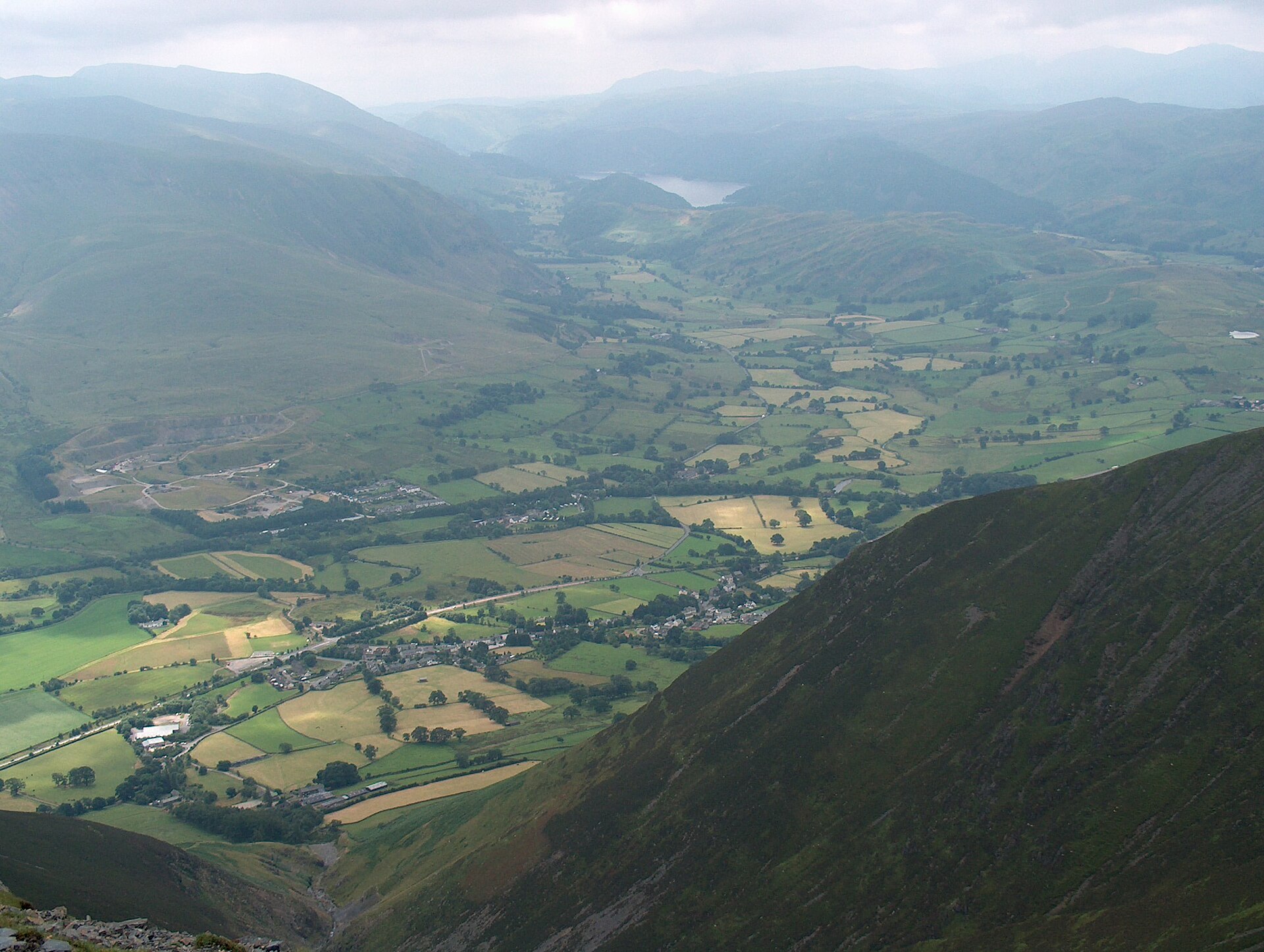
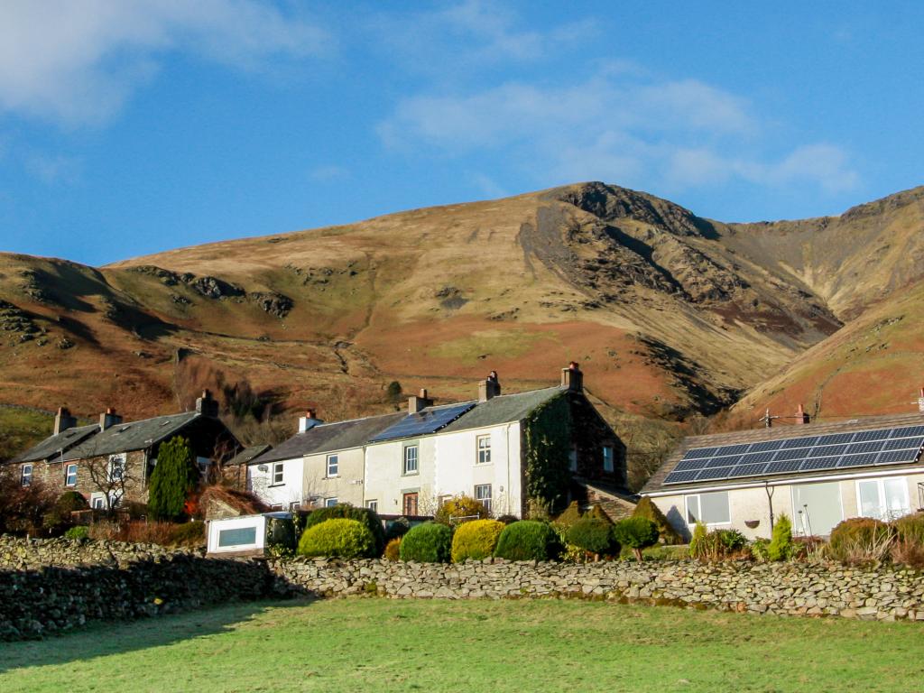
Blencathra rises north-east of Keswick, above the village of Threlkeld, its name most likely Cumbric for “the summit of the seat”. Ordnance Survey mapped it for years as Saddleback, after its profile from the east, until the guidebook writer Alfred Wainwright’s preference for the older Cumbric name became the standard one. Six separate tops sit along a three-mile ridge, the highest being Hallsfell Top at 868m; in 2014 the Earl of Lonsdale put the mountain up for sale at £1.75 million to cover an inheritance tax bill, and a community group called Friends of Blencathra, backed by Chris Bonington and Melvyn Bragg, tried to raise the money to buy it before the Earl withdrew the sale in 2016 having found the funds another way.
The route described here climbs Blease Fell, the broad southern shoulder above Threlkeld, starting from the small car park on Blease Road past the Blencathra Field Centre. A zigzag path gains the shoulder directly, steep for the whole climb but with no hands-on sections and no exposure, before levelling onto the long summit plateau, a ridge with a steep drop on either side and open views over Derwentwater, Thirlmere and most of the central Lakeland fells. This is the plain way up: Blencathra’s fame among walkers rests on its other two routes from the same valley, Sharp Edge, a narrow, exposed arête that Wainwright called sharp enough to shave with, and Hall’s Fell Ridge, a Grade 1 scramble he rated the finest way onto any summit in the district.
Blease Fell runs to around 8km and 700m of ascent there and back, three and a half to four hours at a steady pace, steep enough throughout to rule out a first hill day but without the exposure that makes Sharp Edge unsuitable for anyone uneasy on narrow rock. It suits a walker who wants Blencathra’s summit and its views without committing to a scramble; it does not suit anyone hoping for drama in the terrain, for whom Hall’s Fell Ridge, starting from the same village, is the more celebrated way up the same mountain.
Underfoot
A zigzag path climbs the broad grassy shoulder of Blease Fell directly, steep throughout but with no hands-on sections and no exposure, gaining the long, level summit plateau with a steep drop on either side.
Stay within reach of the start
Everything here is inside 12 km of Blencathra from Threlkeld via Blease Fell.


Distances, ascent and times here are planning figures taken from published sources, not a route description to navigate by. Take a map and check the forecast. We do not publish conditions, because nothing on this page is updated often enough for you to trust it on the day.