Cadair Idris by the Minffordd Path
Near Dolgellau, Eryri
- Distance
- 9 km
- Ascent
- 788 m
- Time
- 5 hr
- Difficulty
- Hard
- Summit
- 893 m
- Shape
- There and back
- Parking
- Paid
- Dogs
- Yes: close control, short lead 1 March to 31 July, NRW says
Start: Dôl Idris car park, Minffordd
Grid ref: SH 732116
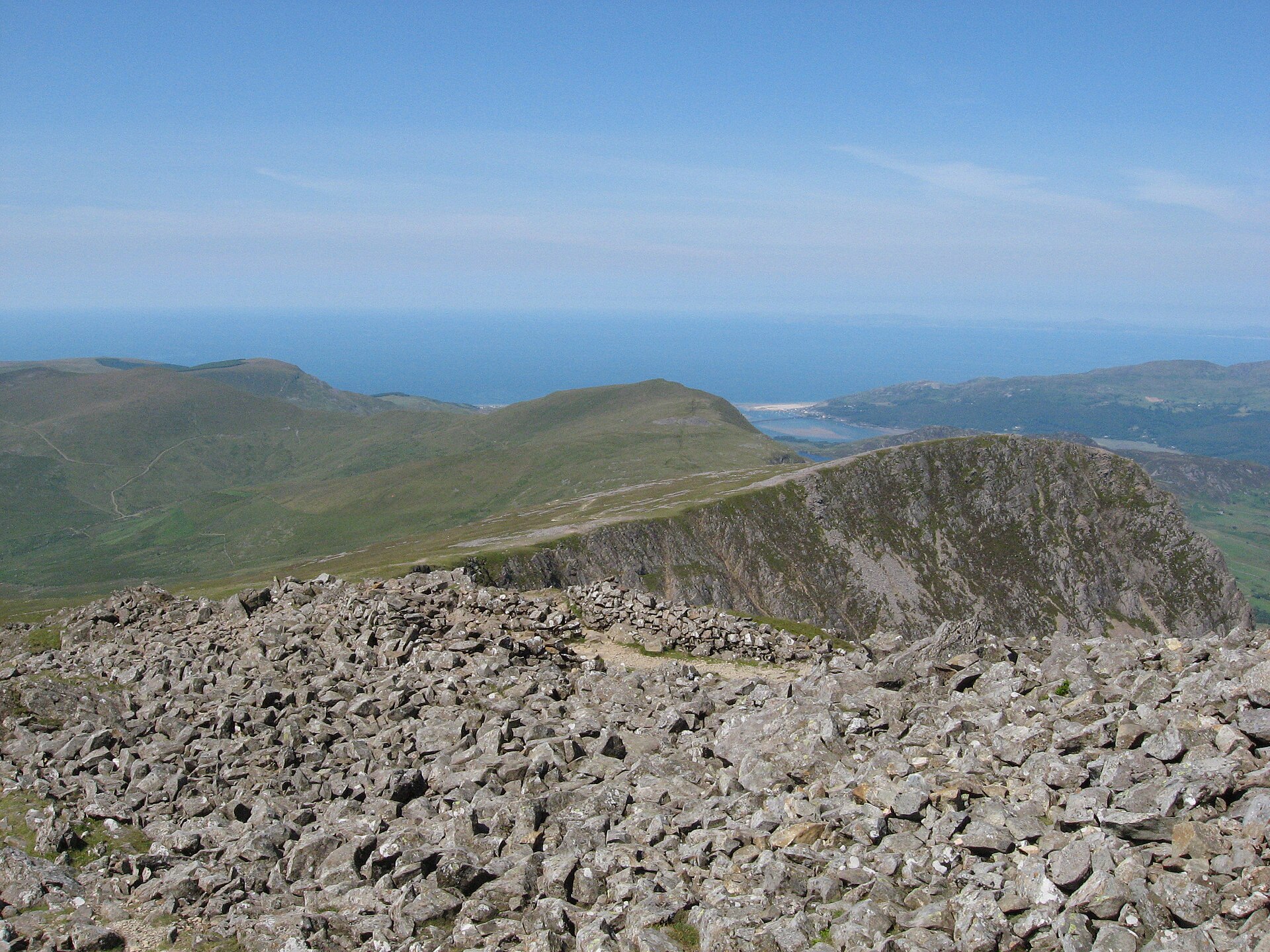
The Minffordd Path is the steepest way up Cadair Idris, because it starts only 105m above sea level, and the only one of the three main paths that passes Llyn Cau, a glacial corrie lake held in a rock amphitheatre with cliffs falling almost a thousand feet into the water on one side. Local legend calls the lake bottomless and gives it a resident monster; a different, equally old story says anyone who spends a night alone on the mountain’s summit wakes up either mad or a poet. The mountain’s name refers to Idris, usually taken to be a giant, said in Wikipedia’s account to have been skilled in poetry, astronomy and philosophy, or else Idris ap Gwyddno, a seventh-century prince of Meirionnydd said to have won a battle against the Irish on the mountain.
Climbing through ancient woodland on stone and timber steps beside a stream, the path reaches Llyn Cau, then follows the rim of Craig Cau around the corrie’s edge to join the summit ridge. The top, Penygadair, is marked by a trig point and a small stone shelter at 893 metres, the highest point of the whole Cadair Idris range.
The National Park Authority and Natural Resources Wales, which manages the surrounding nature reserve, both grade it hard and strenuous, covering 9 kilometres and 788 metres of ascent there and back, which the Natural Resources Wales leaflet allows five hours for, and the upper section is not waymarked, so navigation matters as much as fitness. It suits confident hillwalkers who want the corrie lake and the rim of Craig Cau, and who accept the steepest climb on the mountain to get them. There is no gentle version of this path, so anyone wanting an easy first look at the mountain should drive up to Cregennan Lakes, on Cadair Idris’s lower slopes, and see the cliffs from there.
Underfoot
Stone and timber steps through ancient woodland beside a stream up to Llyn Cau, a glacial corrie lake, then along the rim of Craig Cau to the summit ridge.
Stay within reach of the start
Booking through these links earns a commission. The price is the same.
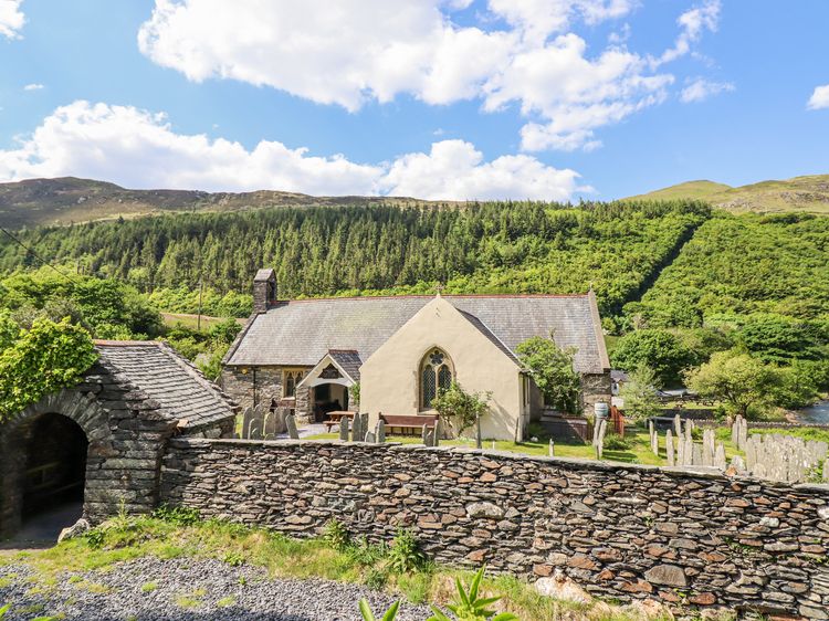
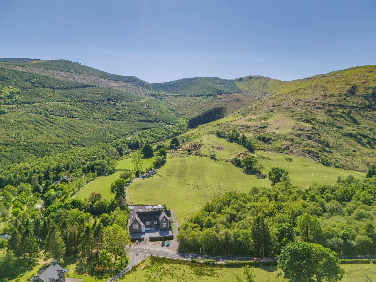
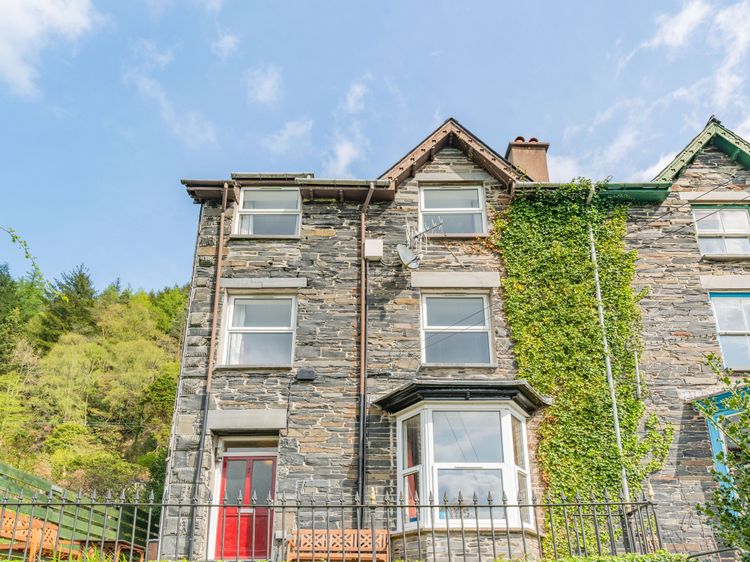
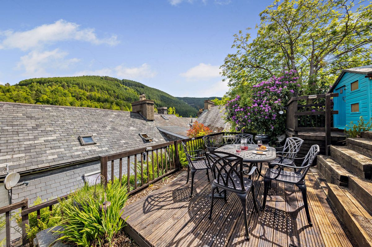
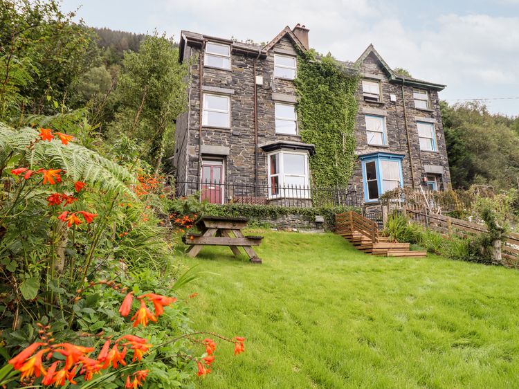
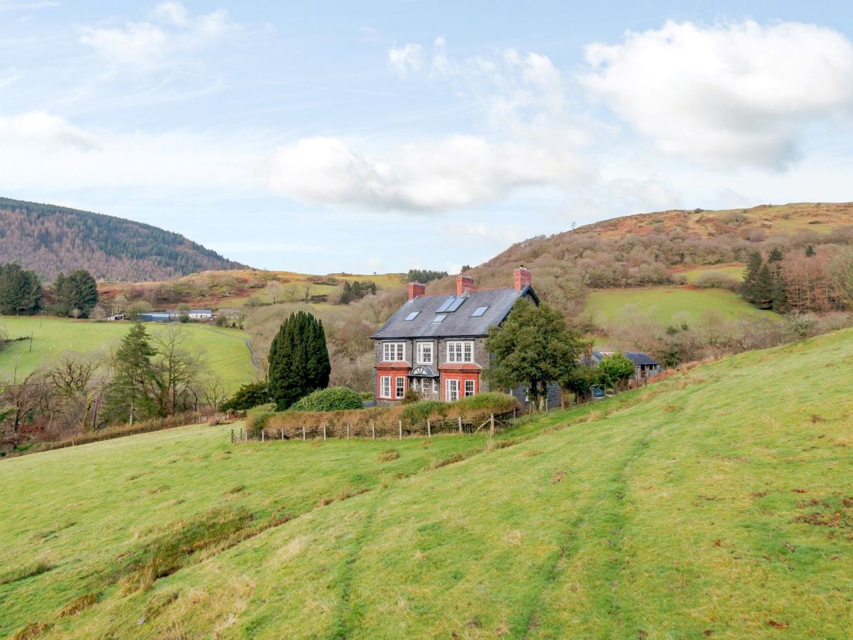
Aberllefenni, near Corris, North Wales
Llwydiarth Hall
Sleeps 14 · 7 beds
- Dogs
from £1,455 / week
Check dates for Llwydiarth Hall (opens the booking site in a new tab)Checked 5 Oct
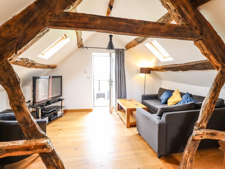
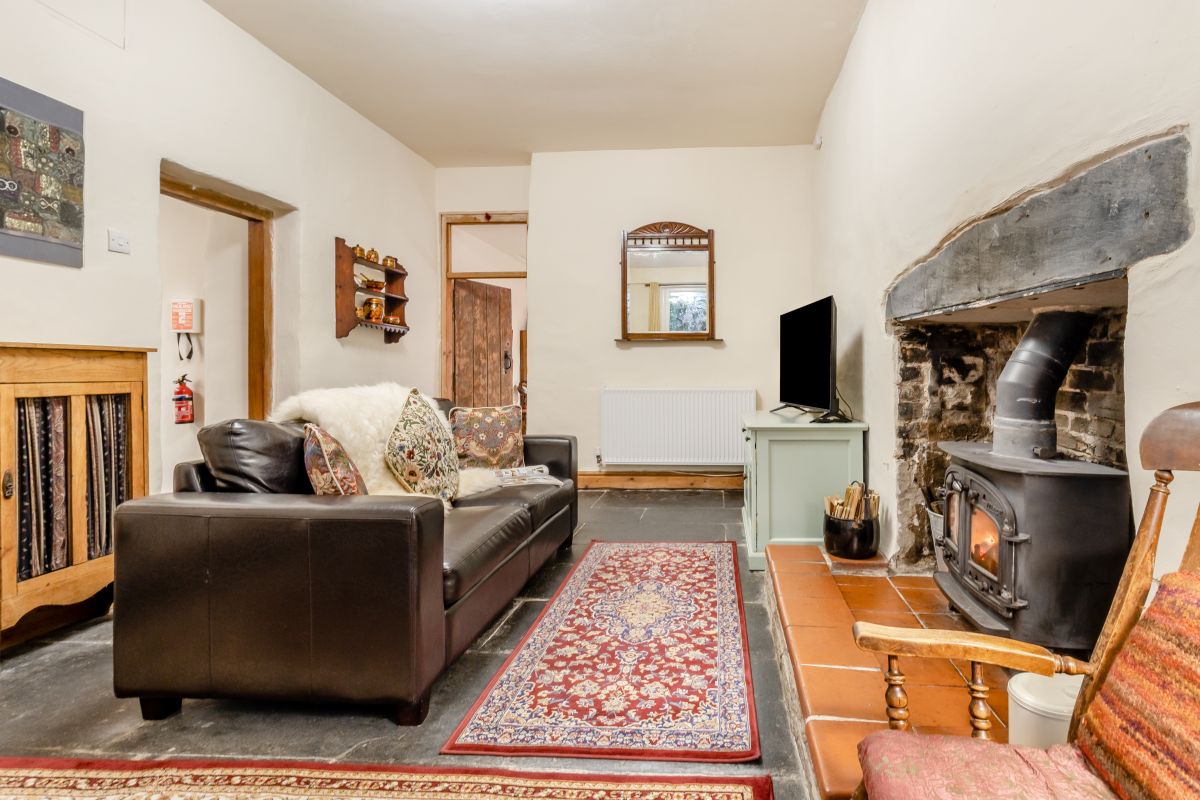
Aberllefenni, near Corris, North Wales
Bwthyn Glan Y Dwr
Sleeps 2 · 1 bed
- Wood burner
- Dogs
from £504 / week
Check dates for Bwthyn Glan Y Dwr (opens the booking site in a new tab)Checked 5 Oct
Distances, ascent and times here are planning figures taken from published sources, not a route description to navigate by. Take a map and check the forecast.