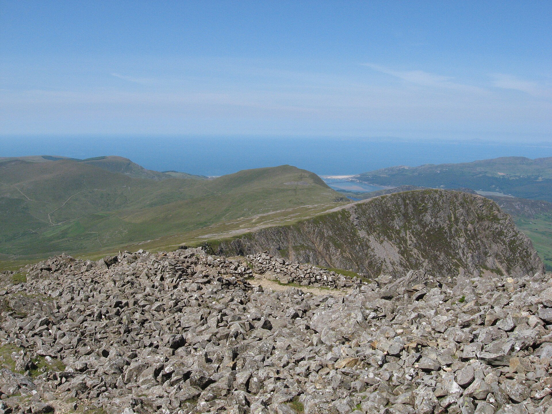
Cadair Idris by the Minffordd Path
The steepest path up Cadair Idris and thought to be the shortest, past the corrie lake Llyn Cau to the summit, Penygadair, at 893 metres.
- 9 km
- 788 m up
- 5 hr
- Hard
Cadair Idris at the door, the Mawddach Trail running from the town.
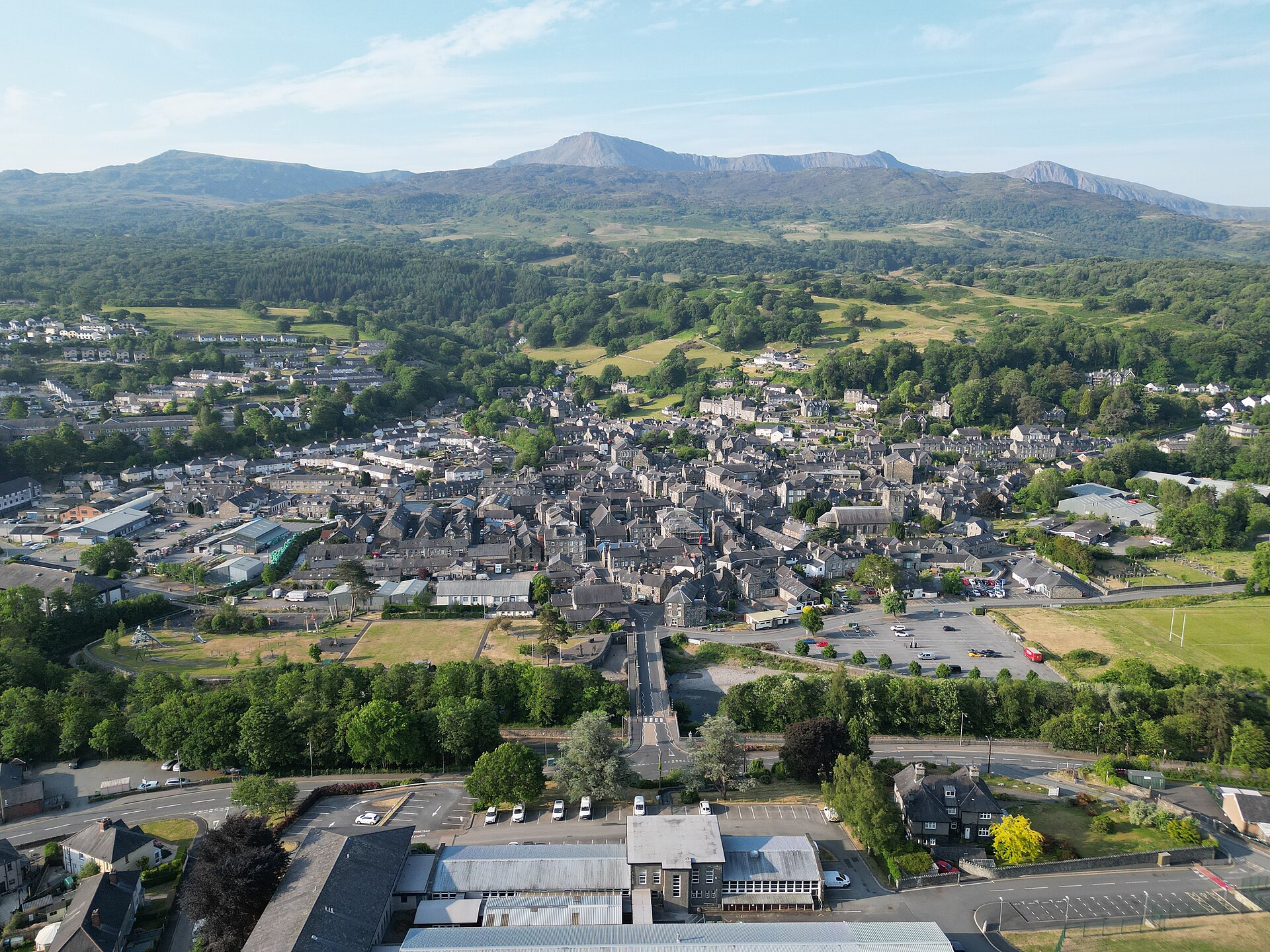
Morfa Mawddach
13 km by road
7
174
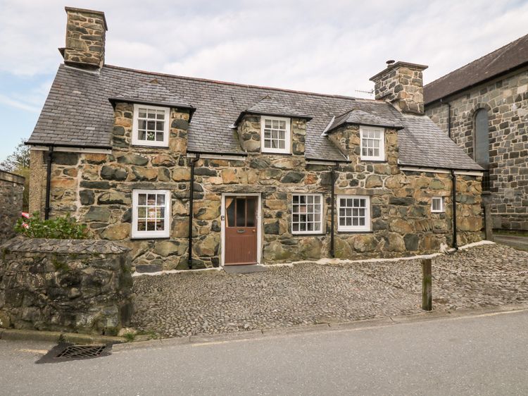
Dolgellau is a stone-built market town at the head of the Mawddach estuary, and it has been the main base for climbing Cadair Idris and its neighbour Mynydd Moel for as long as either mountain has drawn visitors; both are visible from the town. Dolgellau’s wealth was built on wool: by the end of the eighteenth century the local weaving trade was worth £50,000 to £100,000 a year, and winch-hoods still visible high on some town buildings, along with the ruined Pandy fulling mills along the Afon Aran, are what is left of it.
The Minffordd Path up Cadair Idris starts a short drive from town at Dôl Idris. In the other direction, the Mawddach Trail follows the old Ruabon to Barmouth railway line, closed in 1965, for about eight miles along the south side of the estuary to Morfa Mawddach, flat and surfaced enough for cycling as well as walking. It forms part of the Lôn Las Cymru long-distance cycle route, and an RSPB centre at Penmaenpool, in a restored signal box, sits about two miles from the Dolgellau end.
The shorter, easier Torrent Walk near Brithdir is a few minutes’ drive from Dolgellau rather than a walk from the town centre. The Minffordd Path start for Cadair Idris is further out towards Tal-y-llyn; Visit Wales says the TrawsCymru T2 stops at Minffordd as well as at Dolgellau. The Mawddach Trail, by contrast, begins right in the town and can be walked or cycled as far as time allows before turning back.
Dolgellau’s own railway station closed in 1965 and the building was later demolished for the A470 bypass. The nearest station today is Morfa Mawddach, on the Cambrian Line, about eight miles away by the Mawddach Trail or the A493. For the south side of Cadair Idris by train and bus, Machynlleth is the alternative base. The town has held a bridge over the Afon Wnion since 1638, and Owain Glyndŵr is recorded holding a council here in 1404, during his uprising against English rule.
The Mawddach Trail starts right in Dolgellau and stays flat for as far as anyone wants to go, with the RSPB’s centre at Penmaenpool, in an old signal box beside the estuary, as a natural turning point for a family outing of an hour or two rather than the full eight miles to Morfa Mawddach. Torrent Walk, a few minutes’ drive out at Brithdir, is shorter still at four kilometres, following cascades on the Afon Clywedog through old industrial workings, but parts of the path run close to unfenced drops into the ravine, so it wants a hand held rather than a child let loose to explore. Cadair Idris by the Minffordd Path is not a family walk at any age discussed here: 788 metres of ascent to Llyn Cau and the summit ridge, graded hard, with the upper section unmarked. Leave the mountain for later and let the estuary trail do the work instead.
The steepest path up Cadair Idris and thought to be the shortest, past the corrie lake Llyn Cau to the summit, Penygadair, at 893 metres.
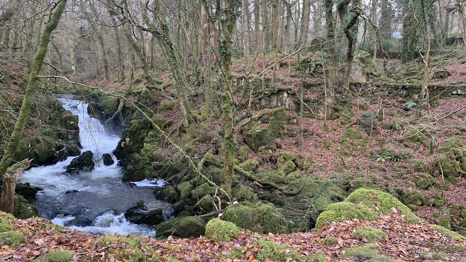
A short circular walk beside cascades on the Afon Clywedog near Dolgellau, through native woodland with old industrial remains.
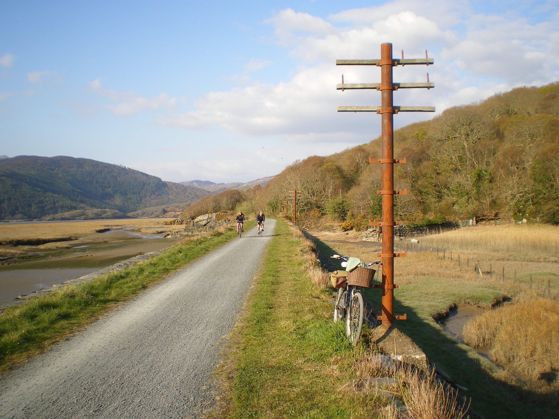
A flat, fifteen-kilometre trail along a disused railway line beside the Mawddach estuary, linking Barmouth to Dolgellau.
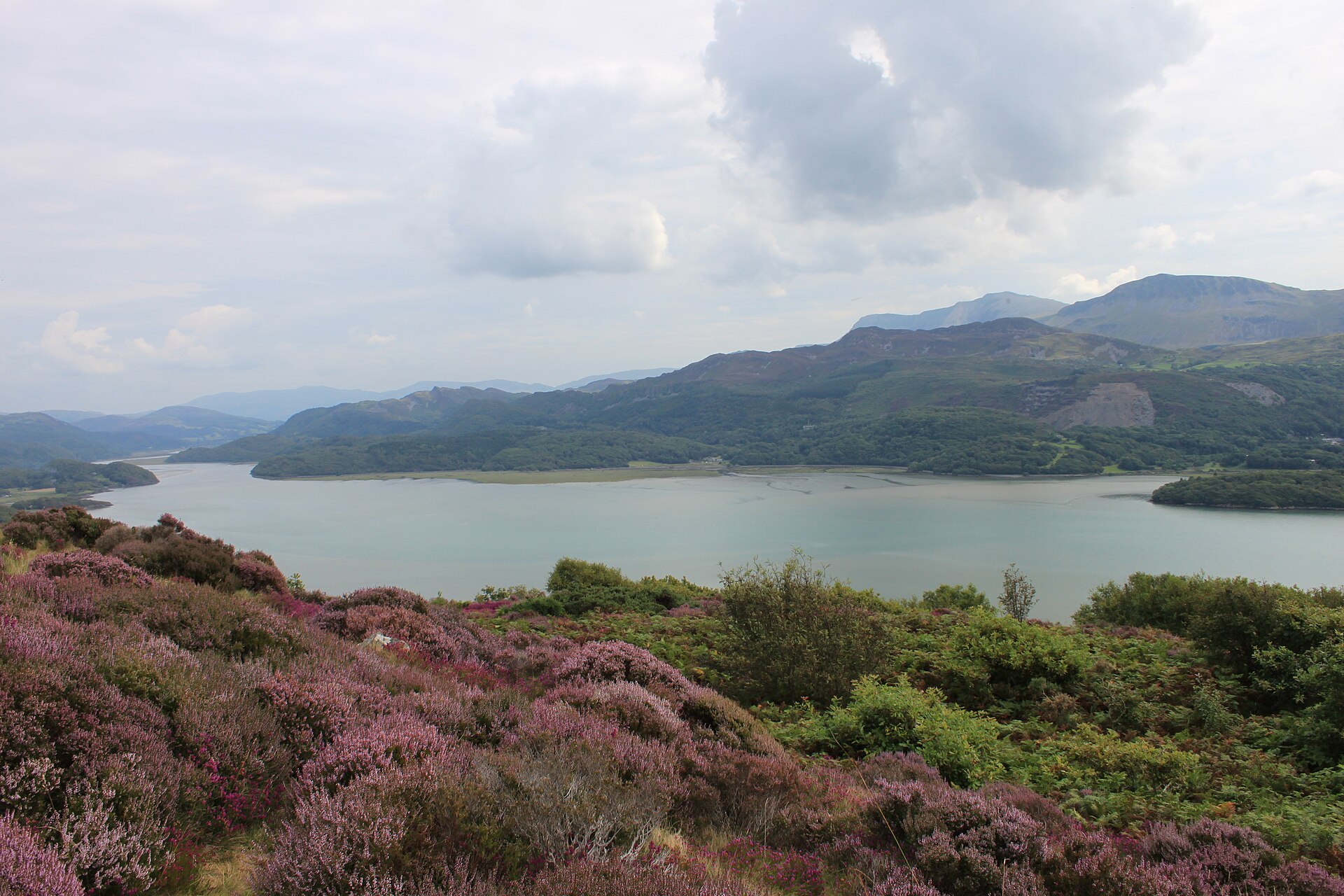
A viewpoint walk above Barmouth through woodland, past an old Victorian garden, to a view over the Mawddach estuary and Cadair Idris.
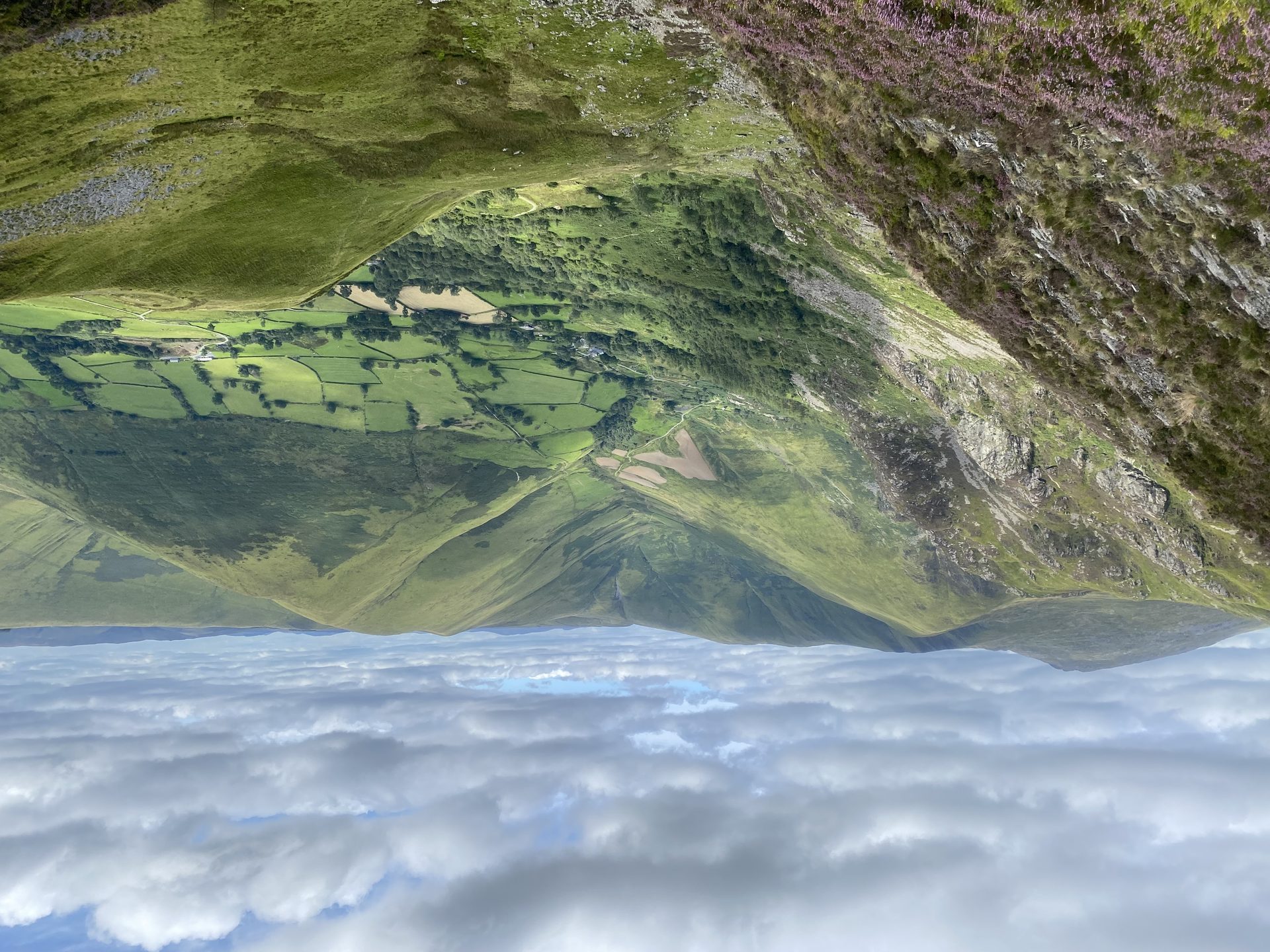
The highest mountain in Britain south of Yr Wyddfa, climbed from the head of Cwm Cywarch, with a cliff above Creiglyn Dyfi, the source of the Dyfi.
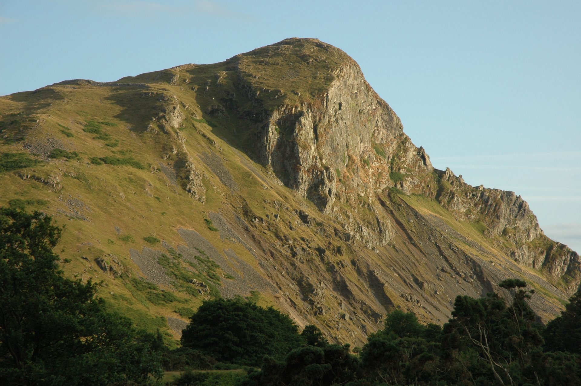
A 258m crag in the Dysynni valley with an Iron Age hillfort on top and the largest inland cormorant colony in Wales, climbed in an hour or two.
Reached by car, by lift or by a short walk, rather than a day on the hill.
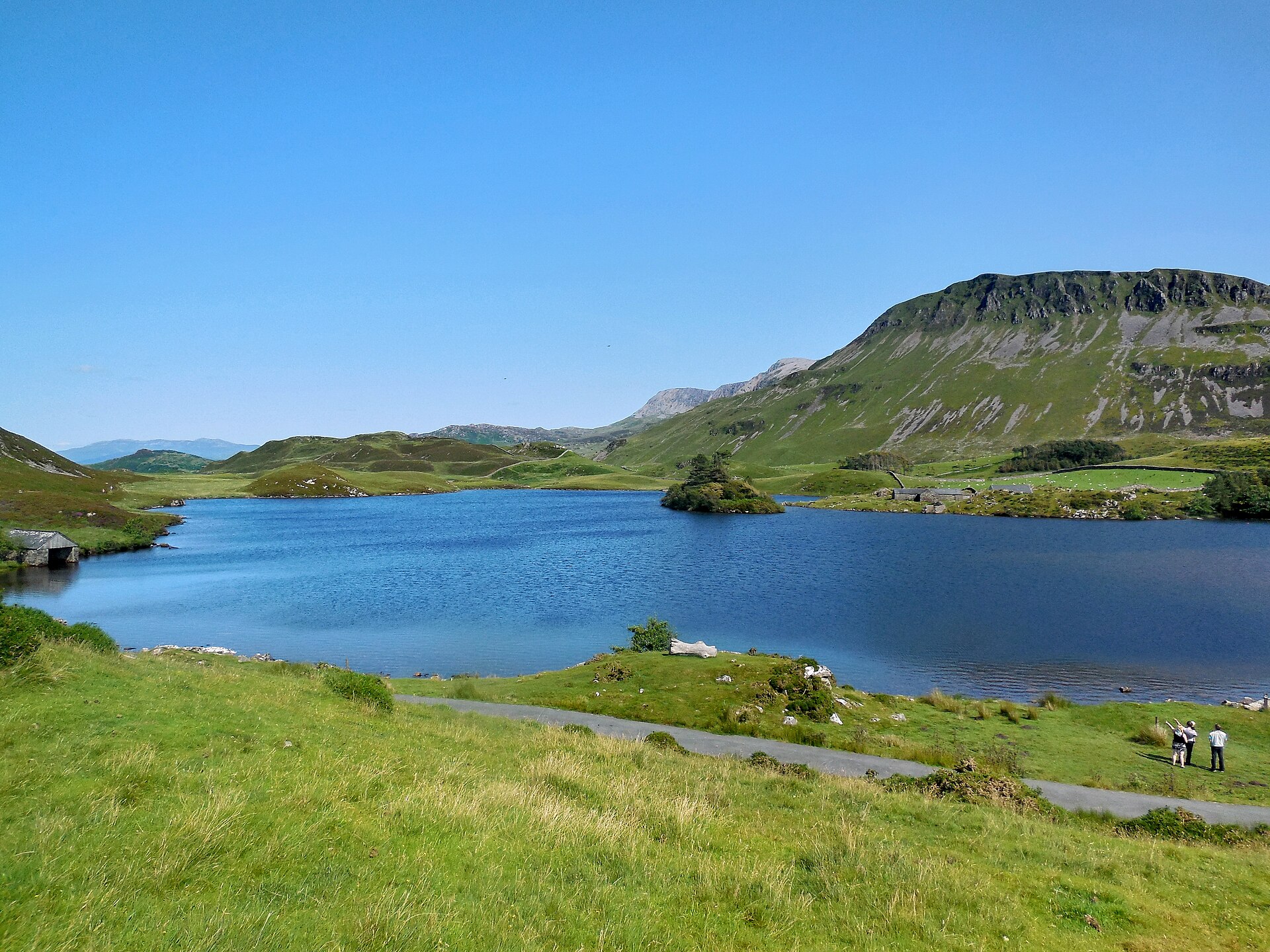
Two National Trust lakes on the slopes of Cadair Idris, reached by car, with views to the estuary and the mountain's cliffs.
Booking through these links earns a commission. The price is the same.
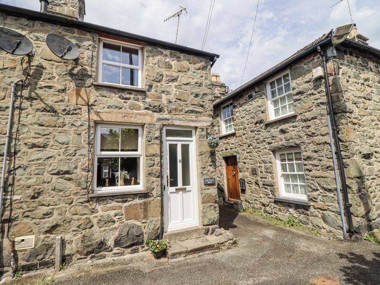
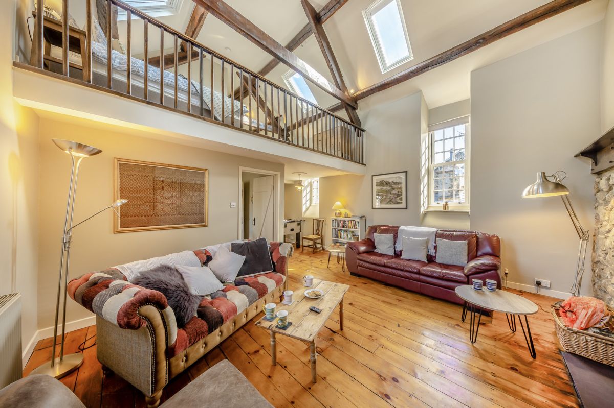
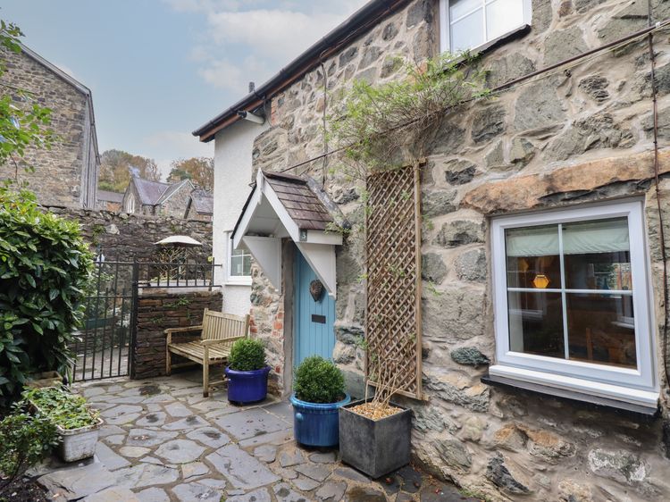
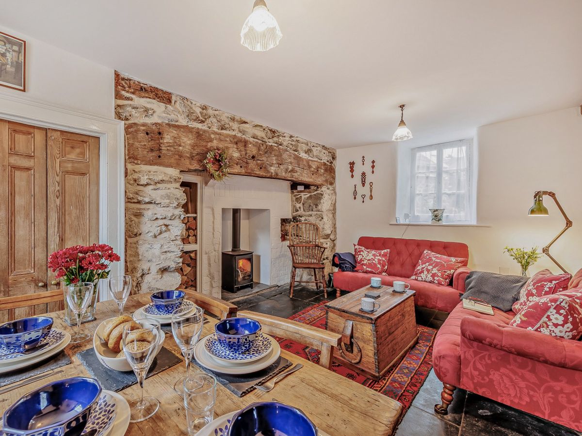
Dolgellau, North Wales
Sleeps 6 · 3 beds
from £664 / week
Check dates for Hope House - Dolgellau (opens the booking site in a new tab)Checked 5 Oct
_03.jpg)