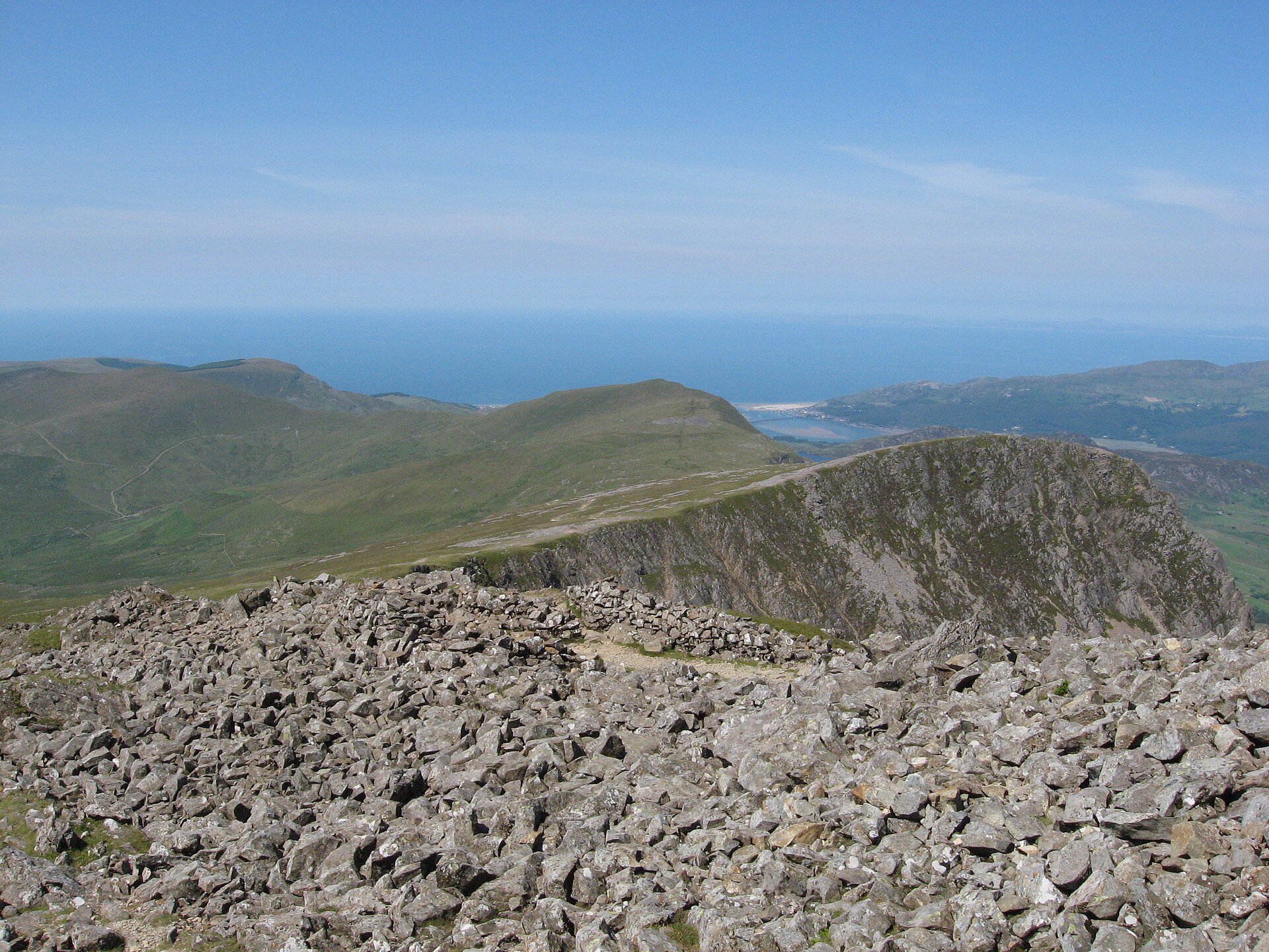
Cadair Idris by the Minffordd Path
The steepest path up Cadair Idris and thought to be the shortest, past the corrie lake Llyn Cau to the summit, Penygadair, at 893 metres.
- 9 km
- 788 m up
- 5 hr
- Hard
A railway junction town on the south side of Cadair.
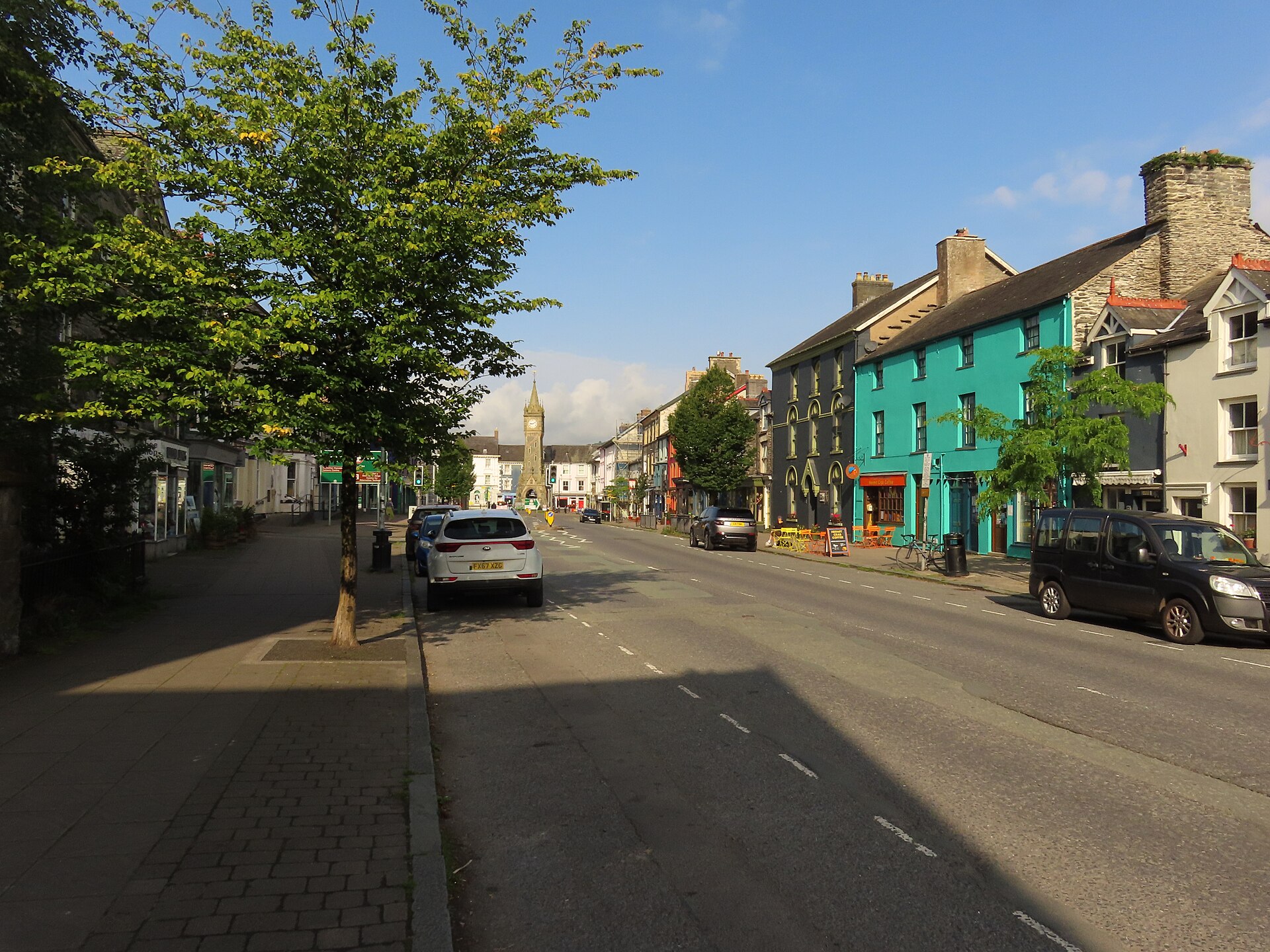
Machynlleth
On the Cambrian Line, with the ticket office on platform 2.
4
97
Machynlleth is a market town of 2,163 people at the 2021 census, in the Dyfi valley at the junction of the A487 and A489. It lies in Powys, not Gwynedd, which is the first thing to know about it as a base for Eryri: it sits on Eryri’s southern edge. It was the seat of Owain Glyndŵr’s parliament in 1404 and calls itself the ancient capital of Wales, a title it has never held officially, and a clock tower about 23.7m tall, Grade II listed, stands at the main road junction.
The case is transport, not scenery. Machynlleth is a junction on the Cambrian Line, where most trains from Pwllheli and Aberystwyth join before running on to Shrewsbury, and the TrawsCymru T2 bus calls here on its way north to Bangor. Visit Wales lists Machynlleth as one of the three mainline stations for Cadair Idris and says the T2 stops at Minffordd, at the foot of the Minffordd Path. That makes it a base on the south side of the mountain from which the hardest hill day here can be done without a car; Dolgellau, with no station since 1965, is on the same T2 route.
Nothing starts from the town centre. The Minffordd Path starts at the Dôl Idris car park, run by the National Park, or from the T2 stop named for the Hotel for Cader Idris, a short walk away; it is graded hard, 788m of ascent, and the upper section is not waymarked. Craig yr Aderyn is about 12km away in a straight line in the Dysynni valley, and We Travel Wales records no public transport to its lay-by, so it is a drive. Aran Fawddwy from Cwm Cywarch is about 21km north-east in a straight line and also a drive.
Machynlleth station is on the Cambrian Line, which Transport for Wales operates, with trains west to Aberystwyth and the coast, and east to Newtown and Shrewsbury. The station has a ticket office in the main building on platform 2. The T2 runs north to Bangor and south to Aberystwyth, and since September 2025 the X85 has replaced the T12 east to Newtown. Traveline Cymru is the planner to use before committing a walk to a bus.
Anyone who wants the hills close at hand. Cadair Idris is a road or bus journey from here, not a view from the window, and Machynlleth has no walk of its own on this list. Walkers with a car who want the mountain nearest the door are better in Dolgellau, and anyone who prefers the sea to a market town should look at Tywyn, which is on the Cambrian Coast Line and reaches the Dysynni valley sooner.
The A487 and A489 meet in the town.
The steepest path up Cadair Idris and thought to be the shortest, past the corrie lake Llyn Cau to the summit, Penygadair, at 893 metres.
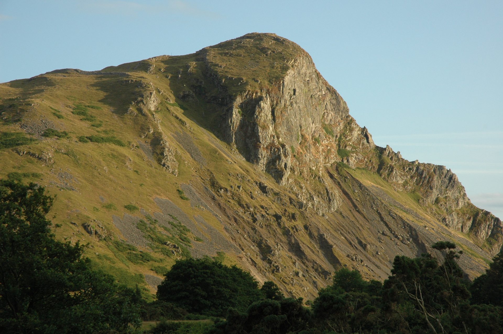
A 258m crag in the Dysynni valley with an Iron Age hillfort on top and the largest inland cormorant colony in Wales, climbed in an hour or two.
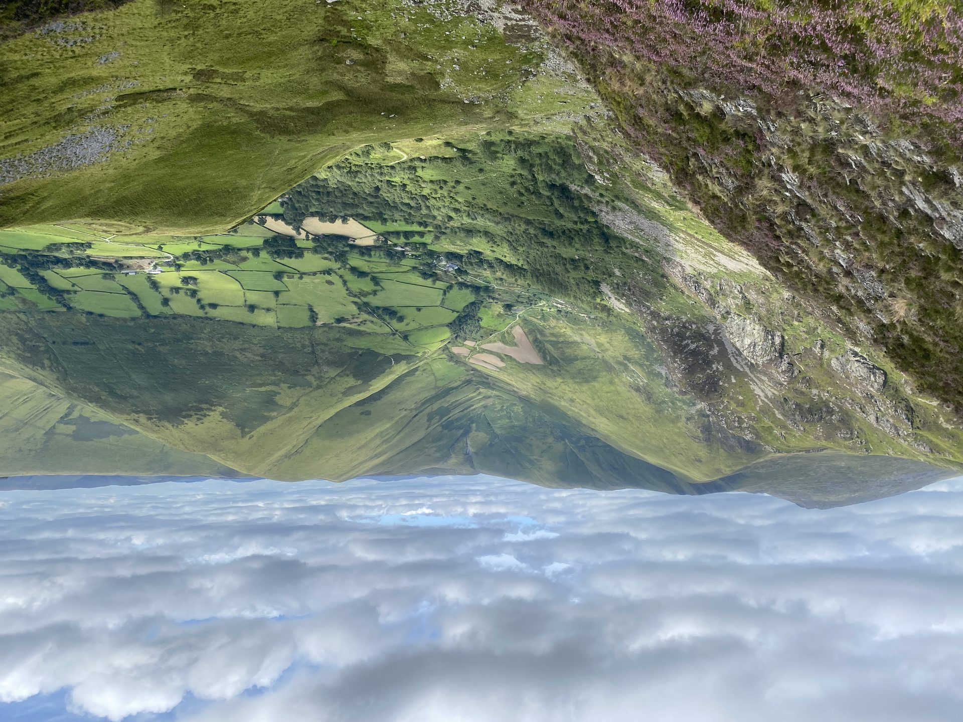
The highest mountain in Britain south of Yr Wyddfa, climbed from the head of Cwm Cywarch, with a cliff above Creiglyn Dyfi, the source of the Dyfi.
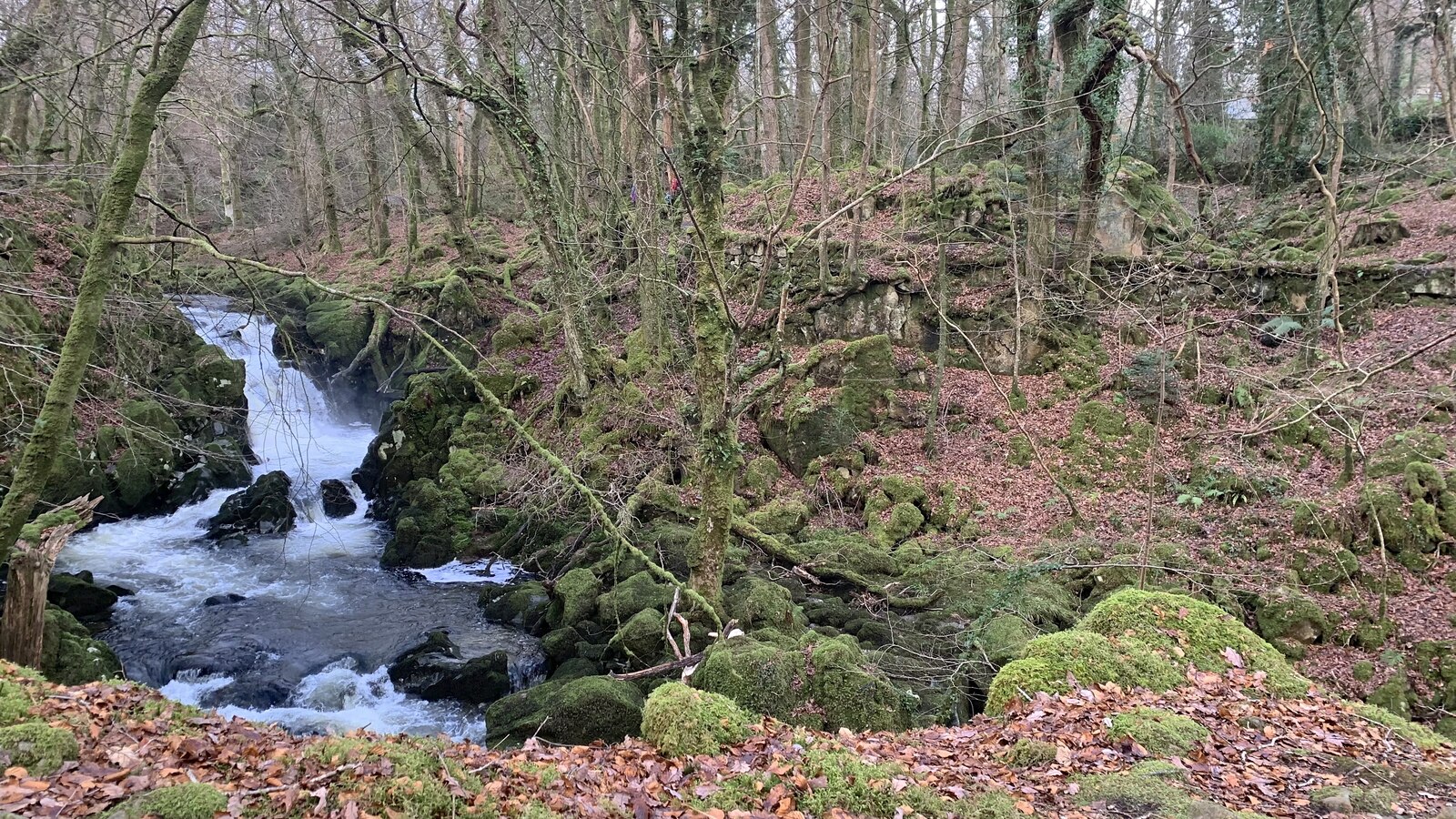
A short circular walk beside cascades on the Afon Clywedog near Dolgellau, through native woodland with old industrial remains.
Reached by car, by lift or by a short walk, rather than a day on the hill.
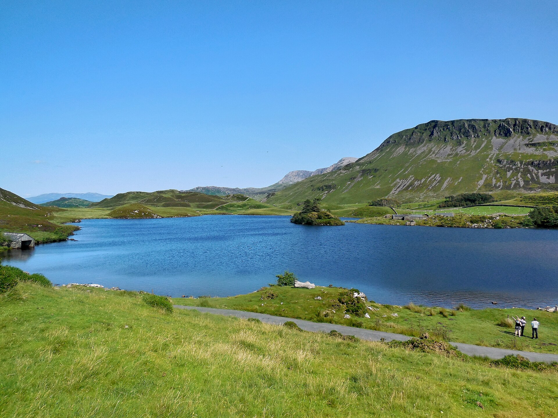
Two National Trust lakes on the slopes of Cadair Idris, reached by car, with views to the estuary and the mountain's cliffs.
Booking through these links earns a commission. The price is the same.
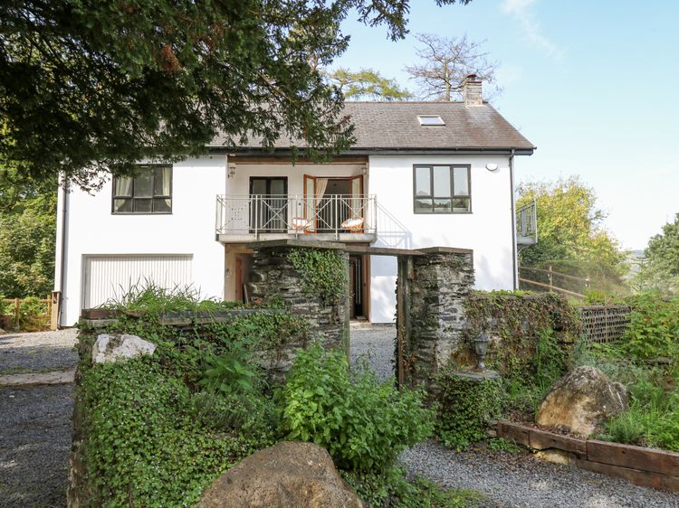
Machynlleth
Sleeps 4 · 2 beds
from £366 / week
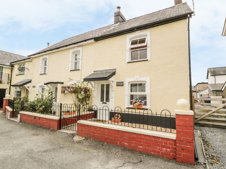
Check dates for Brickfield Cottage (opens the booking site in a new tab)Checked 8 Oct
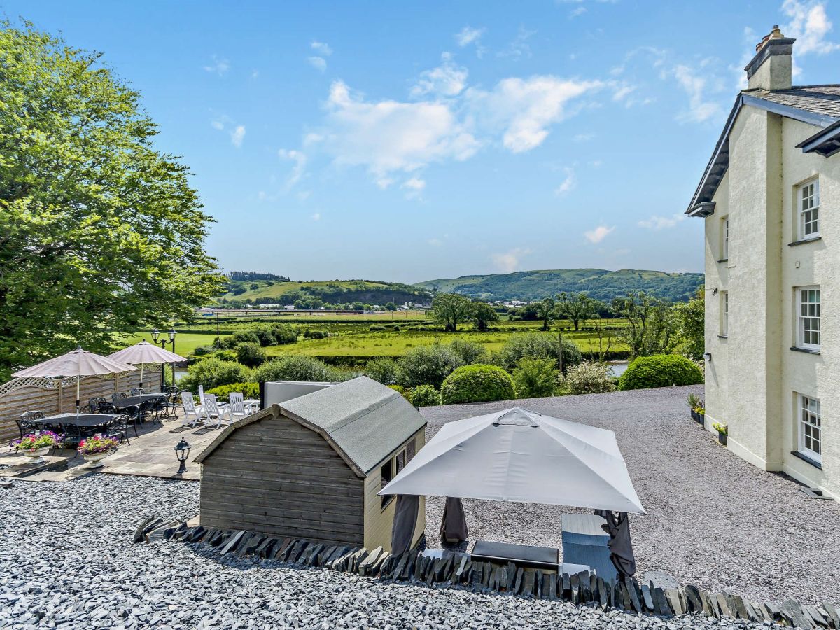
Machynlleth, North Wales
Sleeps 6 · 3 beds
from £440 / week
Check dates for Stabal Pant y Lludw (opens the booking site in a new tab)Checked 5 Oct