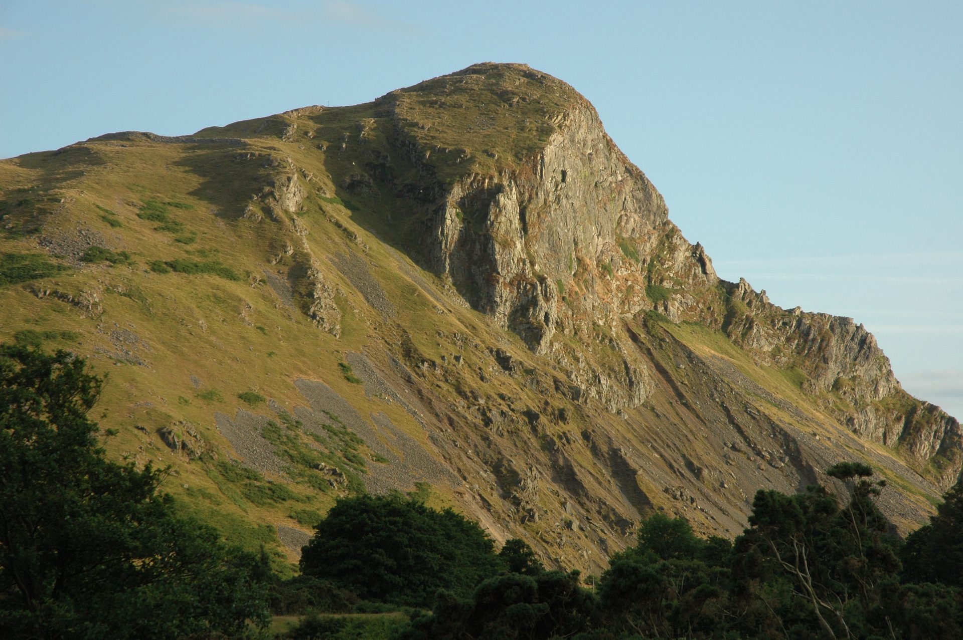
Craig yr Aderyn (Bird Rock)
A 258m crag in the Dysynni valley with an Iron Age hillfort on top and the only regular inland cormorant colony in Wales, climbed in under an hour.
- 2.6 km
- 206 m up
- 1 hr 30 min
- Moderate
Seaside town, steam railway, the quiet south side of Cadair.
5 m
Tywyn, on the Cambrian Coast Line; the Talyllyn Railway's Tywyn Wharf station is about 300 metres away
4
157
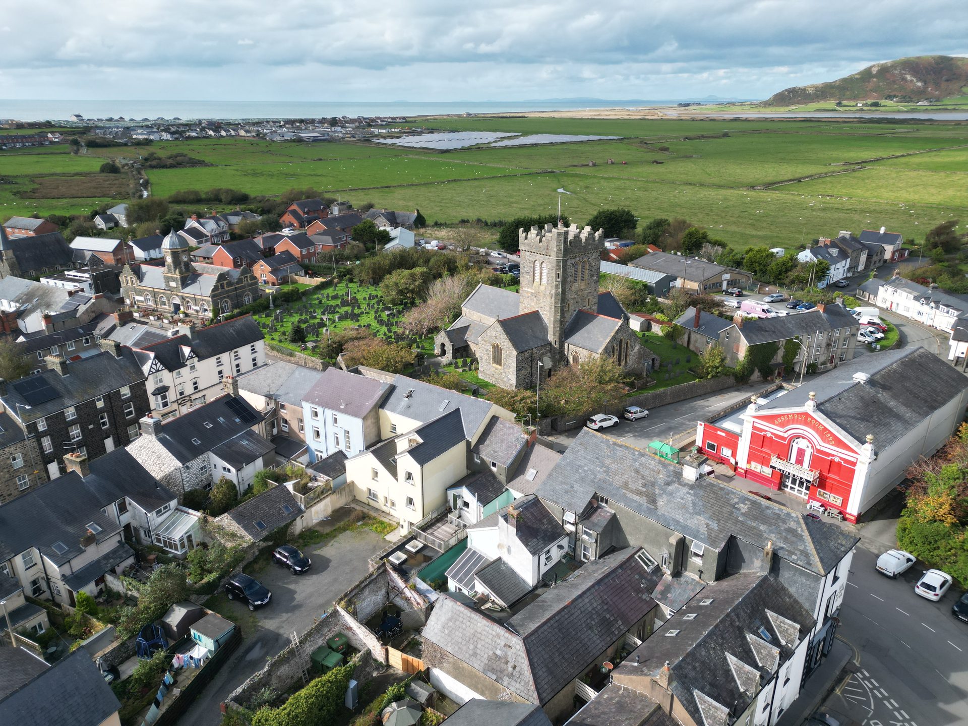
Tywyn is a seaside town on Cardigan Bay with a population of 3,264 at the last count Wikipedia reports, and a history older than its resort trade suggests: Saint Cadfan founded a religious community here in the early sixth century, and St Cadfan’s Church holds the Cadfan Stone, a cross carrying the earliest known written Welsh. The industrialist John Corbett paid for much of the Victorian town in the 1870s, including the promenade, completed in 1889. For a walking holiday it is the opposite choice to Dolgellau and Barmouth, the two bases it sits between: closer to the sea, with the Dysynni and Tal-y-llyn valleys and the south side of Cadair Idris behind it.
Almost nothing on this list starts from the front door. The exception is the Mawddach Trail, which runs 15km between Barmouth and Dolgellau and is reached from Tywyn by the Cambrian Coast Line, so it works without a car. The Dysynni valley is a drive: Craig yr Aderyn is around six miles inland by road, and We Travel Wales records no public transport to its lay-by. Cregennan Lakes are off the A493 near Arthog. The Minffordd Path up Cadair Idris starts at Dôl Idris, beyond Tal-y-llyn, which Wikivoyage places ten miles north-east of the town, and no source opened for this page shows a bus to the Minffordd car park, so plan on driving.
Tywyn station is unstaffed and sells no tickets; Wikipedia gives the weekday service as roughly every two hours each way, operated by Transport for Wales. The Talyllyn Railway starts 300 metres south at Tywyn Wharf and runs seven and a quarter miles up the valley to Nant Gwernol, with a stop at Dolgoch, where Wikipedia records access to nearby falls. It became in 1951 the first railway in the world preserved as a heritage line by volunteers, so a wet day has a use. The town has more than four miles of beach, according to Wikivoyage, and is walkable end to end. Buses up the valley through Abergynolwyn are thin and do not run every day; check Traveline Cymru before relying on one for a walk.
Parking is available throughout the town, and the railway station has a car park of 20 spaces.
The A493 serves the town. Bus services G21 and G24 stop outside the mainline station, and the G24 runs inland to Abergynolwyn, Tal-y-llyn and Dolgellau on weekdays and Saturdays.
A 258m crag in the Dysynni valley with an Iron Age hillfort on top and the only regular inland cormorant colony in Wales, climbed in under an hour.
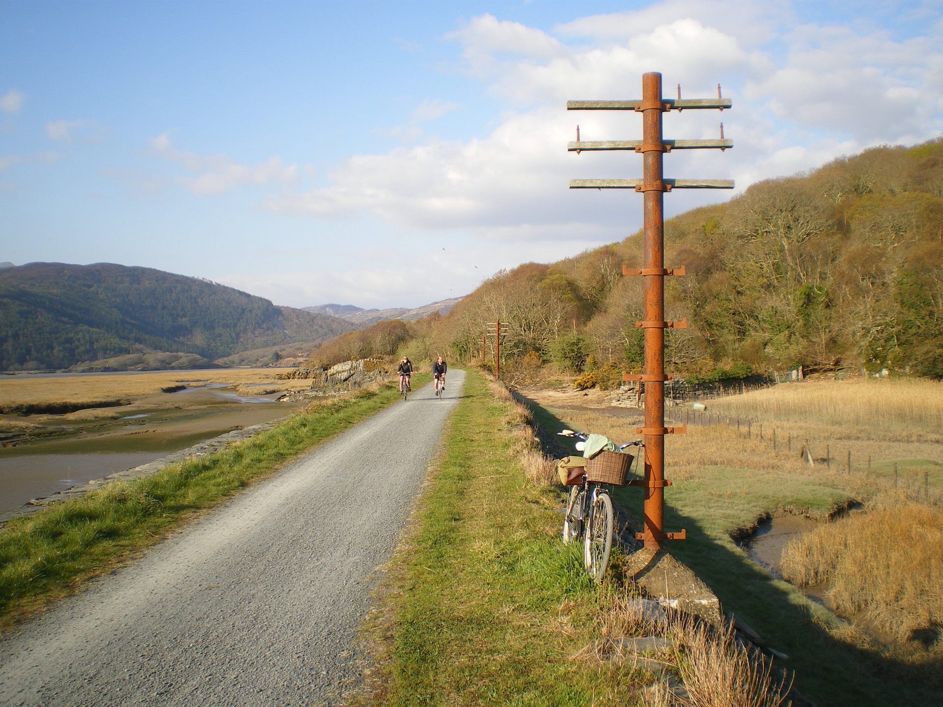
A flat, fifteen-kilometre trail along a disused railway line beside the Mawddach estuary, linking Barmouth to Dolgellau.
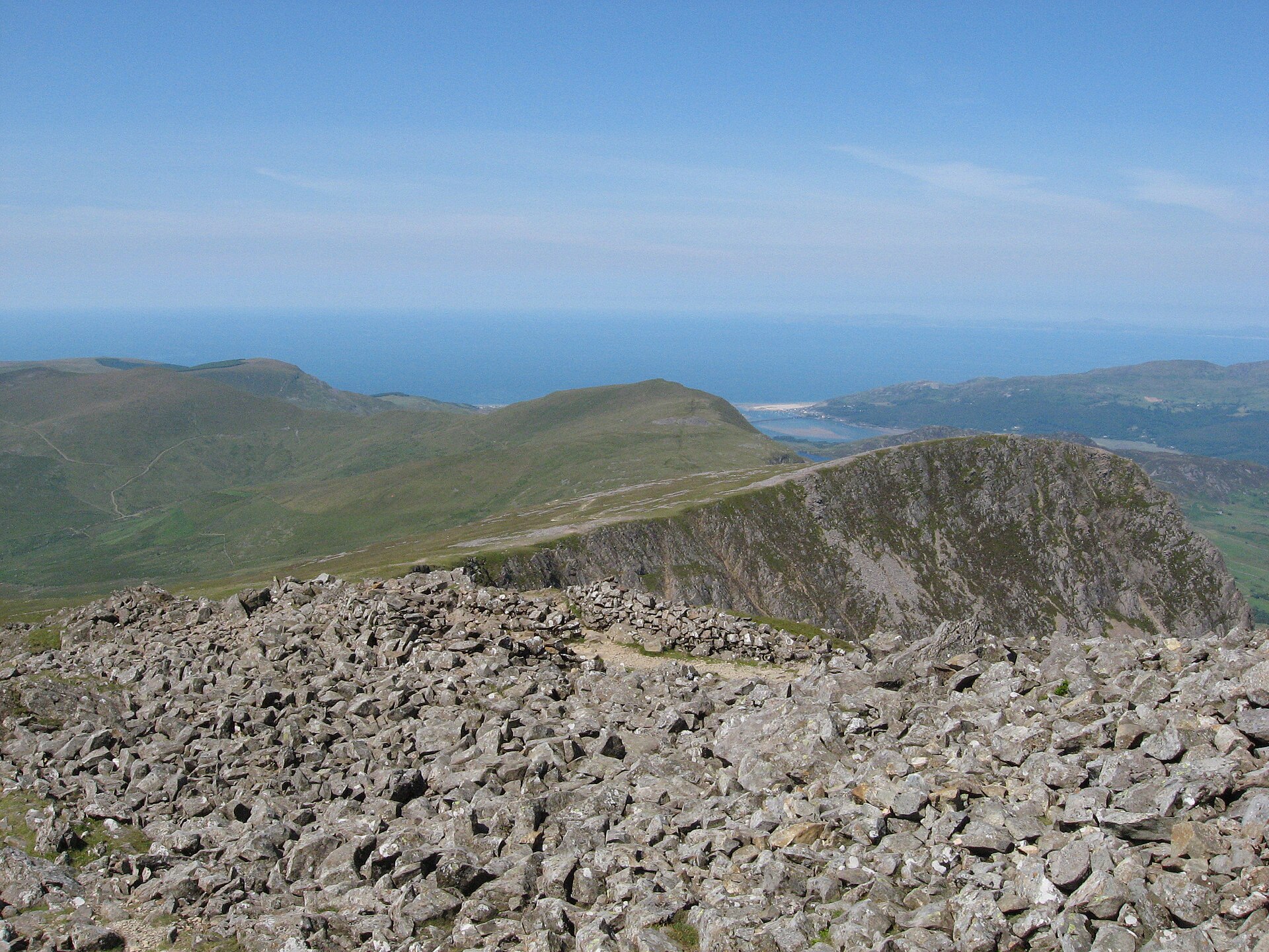
The steepest and, by a whisker, the shortest path up Cadair Idris, climbing past the corrie lake Llyn Cau to the summit, Penygadair, at 893 metres.
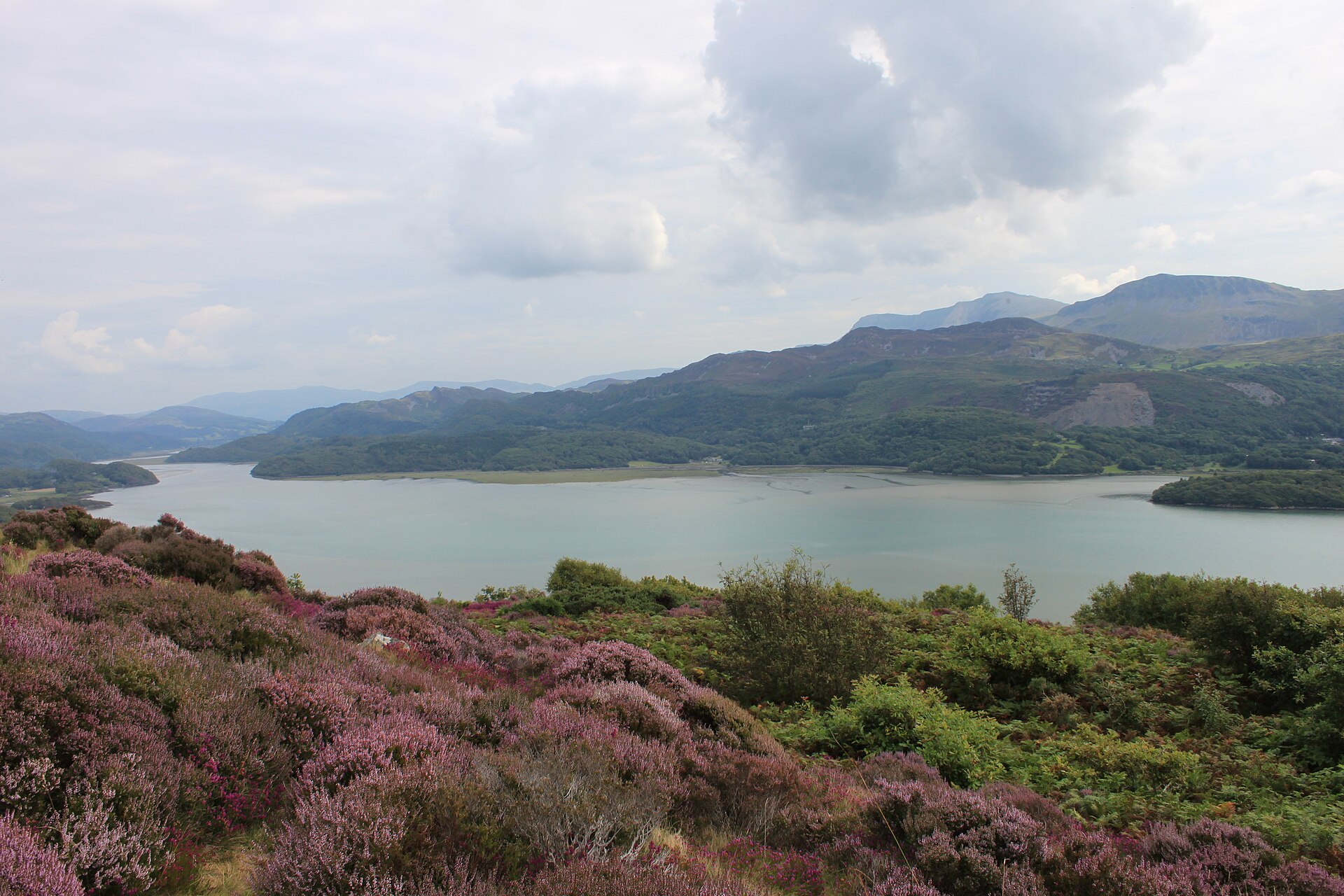
A Victorian-era viewpoint walk above Barmouth through woodland to a view over the Mawddach estuary and Cadair Idris.
Places you can drive to, or reach in a few minutes from the car.
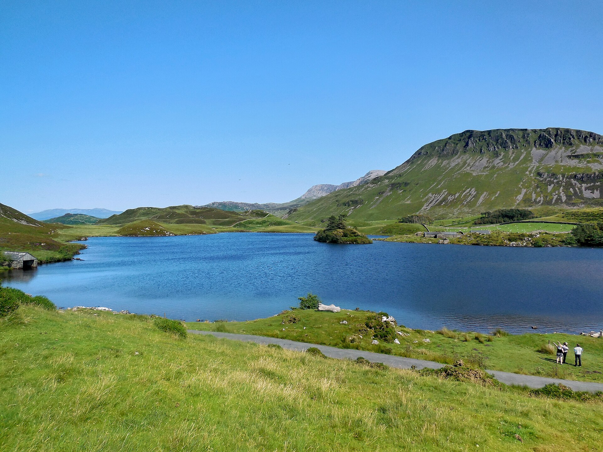
Two National Trust lakes on the slopes of Cadair Idris, reached by car, with views to the estuary and the mountain's cliffs.
Booking links on these earn us a commission. The price you pay is the same either way.
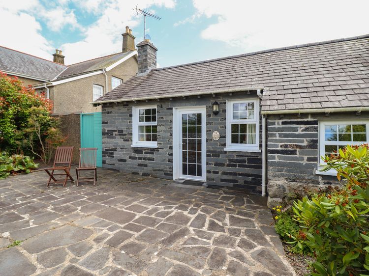
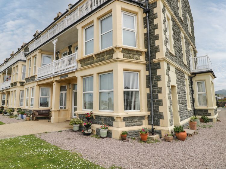
Tywyn, North Wales
Sleeps 5 · 3 beds
from £502 / week
Check dates for Ty Bont - Tywyn (opens the booking site in a new tab)Checked 5 Oct
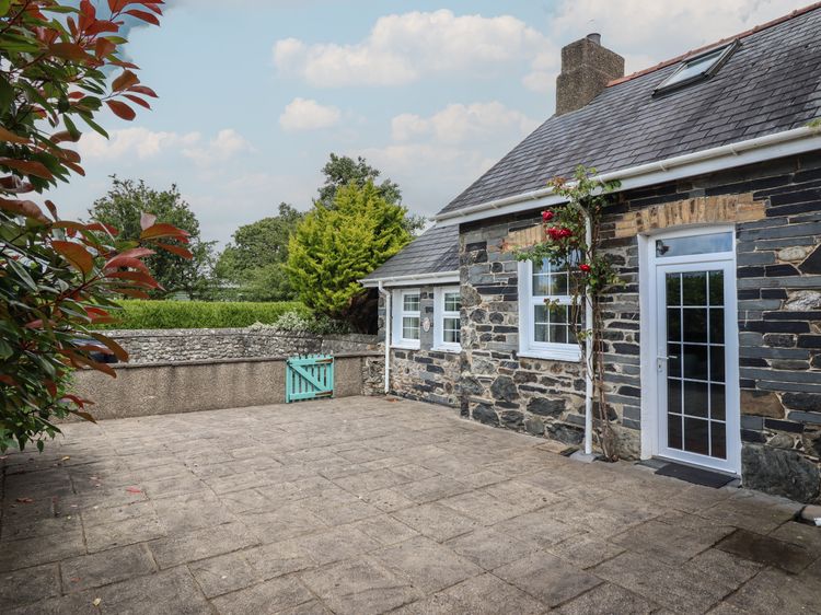
Tywyn
Sleeps 2 · 1 bed
from £658 / week
Check dates for Ty Llaeth Cottage (opens the booking site in a new tab)Checked 8 Oct
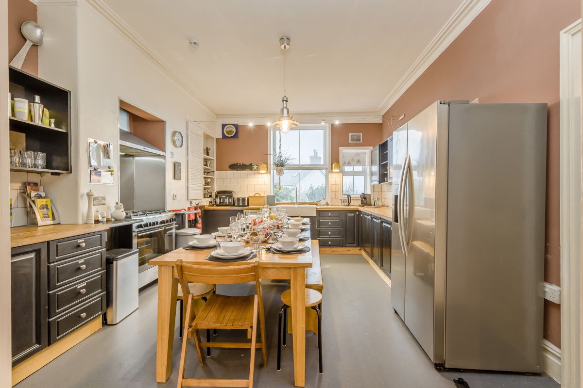
Tywyn, North Wales
Sleeps 11 · 5 beds
from £1,384 / week
Check dates for Derwent House (opens the booking site in a new tab)Checked 5 Oct
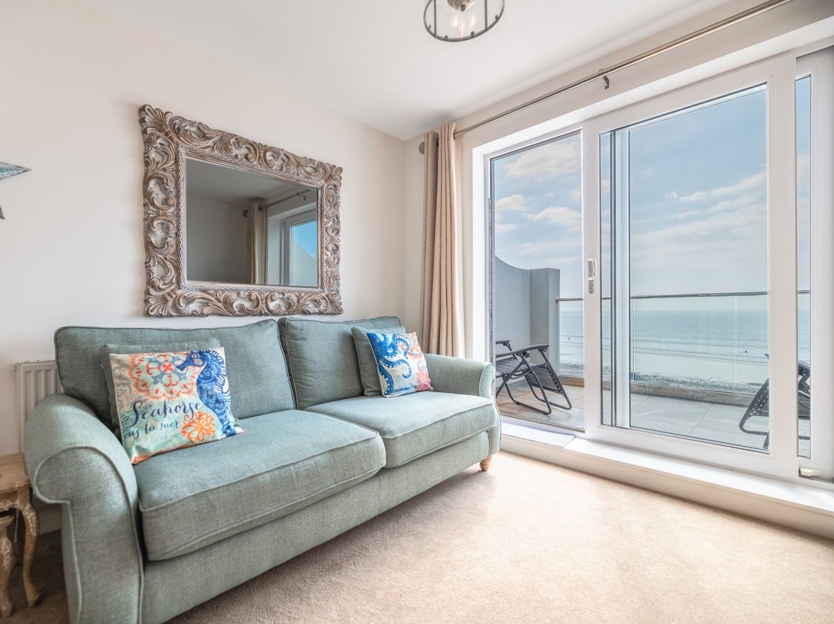
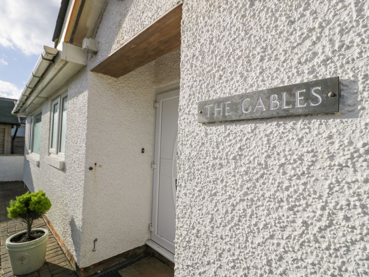
Tywyn
Sleeps 6 · 2 beds
Prices on the merchant site
Check dates for The Nook (opens the booking site in a new tab)Checked 8 Oct