Torrent Walk
Near Dolgellau, Eryri
- Distance
- 4 km
- Time
- 1 hr
- Difficulty
- Moderate
- Shape
- Circular
- Parking
- Roadside only
- Dogs
- Yes: under close control near the ravine edges
Start: Lay-by near Brithdir, on the B4416
Grid ref: SH 761182
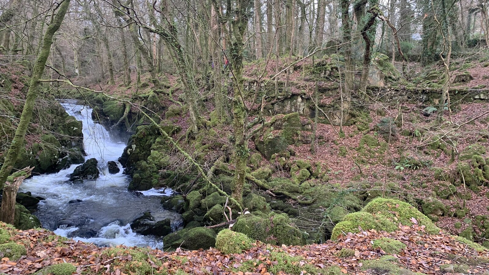
Torrent Walk follows the Afon Clywedog through a short, steep-sided ravine near the hamlet of Brithdir, a few minutes east of Dolgellau off the B4416. Native woodland closes in over the water for almost the whole route, and the river drops through a series of cascades and rapids rather than one single fall. The Authority records that Thomas Payne engineered the path, originally to extend the gardens of the nearby mansion, Plas Caerynwch, for a baron who commissioned the work in the 1800s.
The path is a loop from a roadside lay-by, up one bank of the ravine and back down the other, passing the remains of past industrial activity along the way. The National Park Authority classes the route as moderate rather than easy, because parts of the path run close to steep, unfenced drops into the ravine. Dogs need to stay under close control near the edges.
The loop is around four kilometres and an hour to walk. It suits anyone wanting waterfall scenery without a mountain-length commitment. The unfenced sections beside the water rule it out for anyone who needs a level, edge-free path; the Mawddach Trail, on the trackbed of a former railway along the estuary, is that path.
Underfoot
Follows the Afon Clywedog through a wooded ravine past cascades, with some sections close to steep, unfenced edges.
Stay within reach of the start
Booking through these links earns a commission. The price is the same.
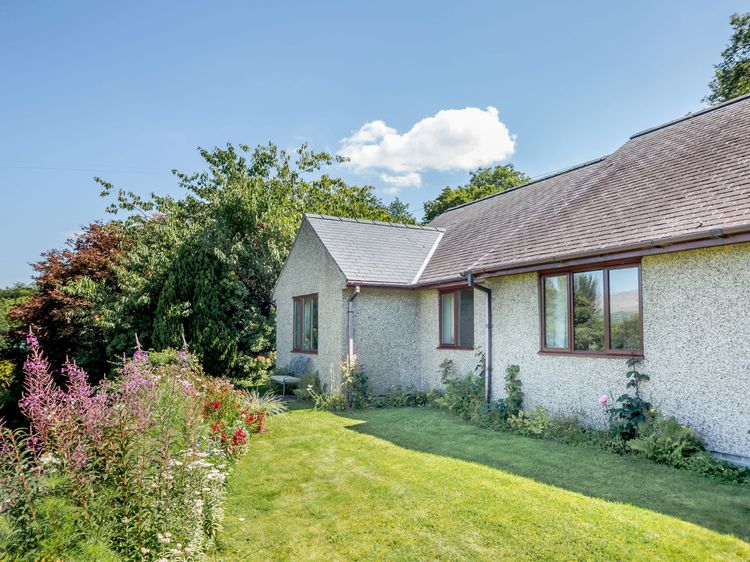
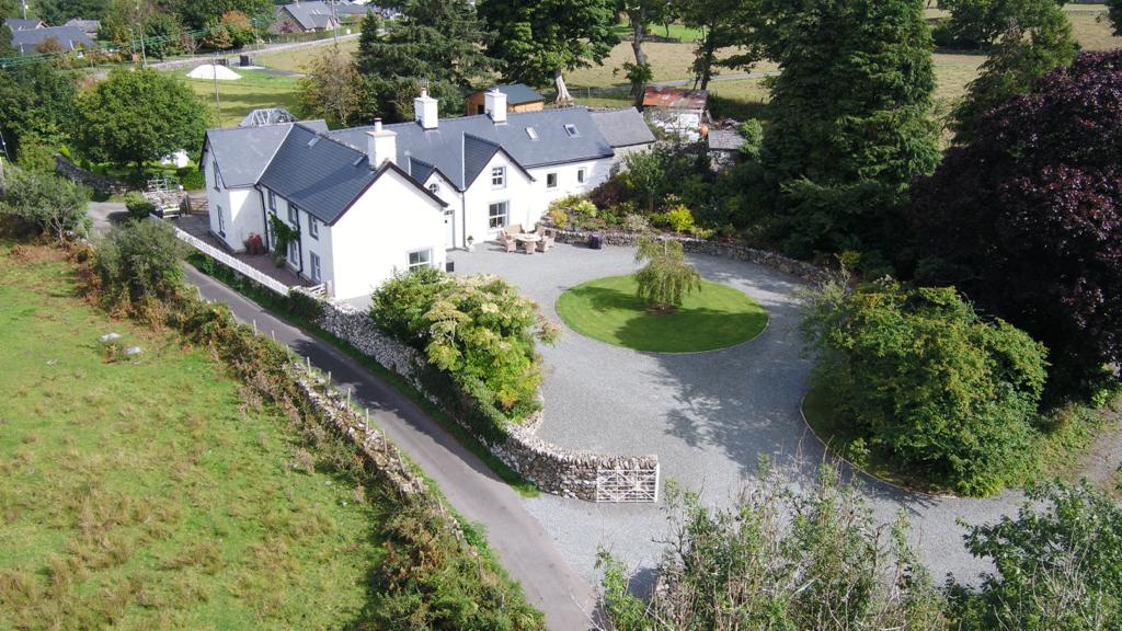
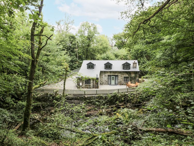
Dolgellau
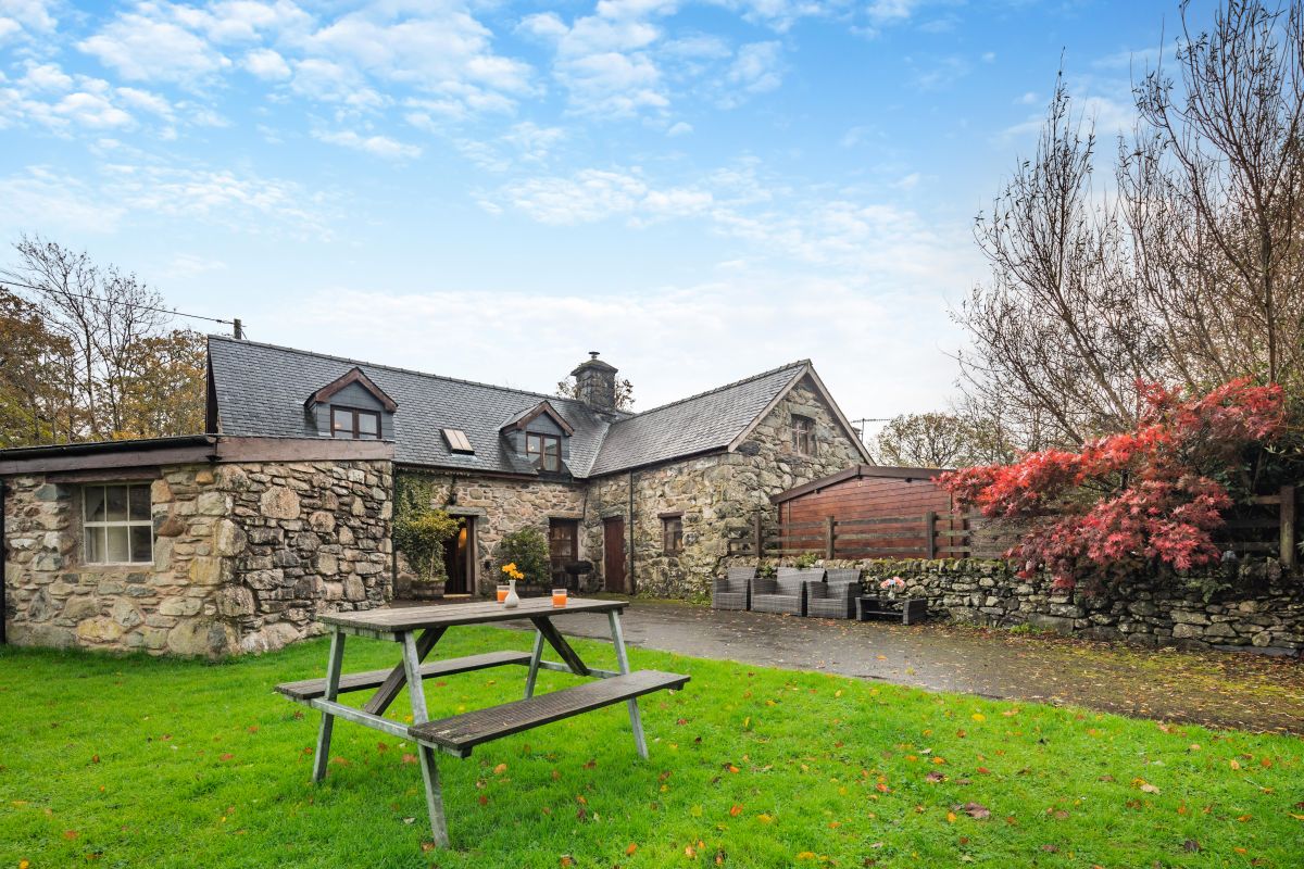
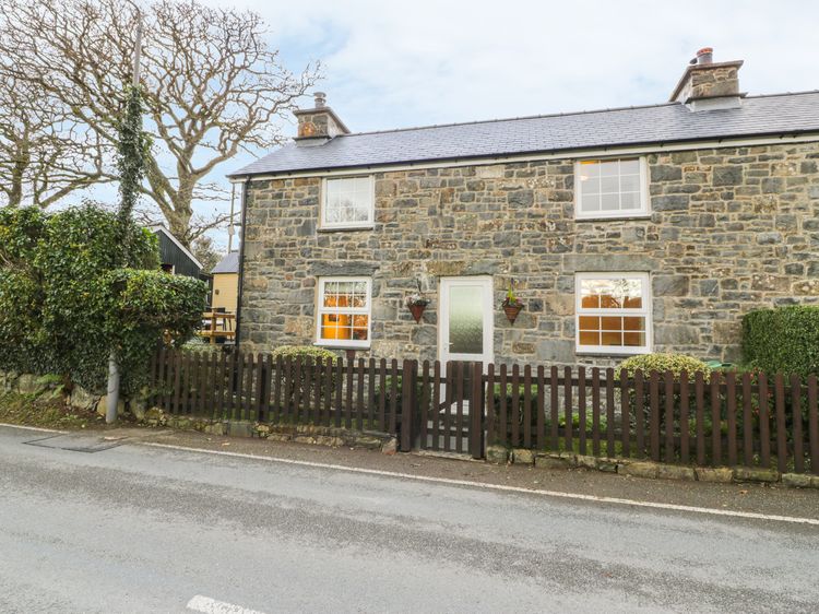
Old Power House
Sleeps 7 · 4 beds
- Wood burner
- No dogs
from £707 / week
Check dates for Old Power House (opens the booking site in a new tab)Checked 8 Oct
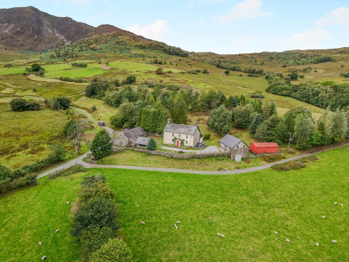
Dolgellau
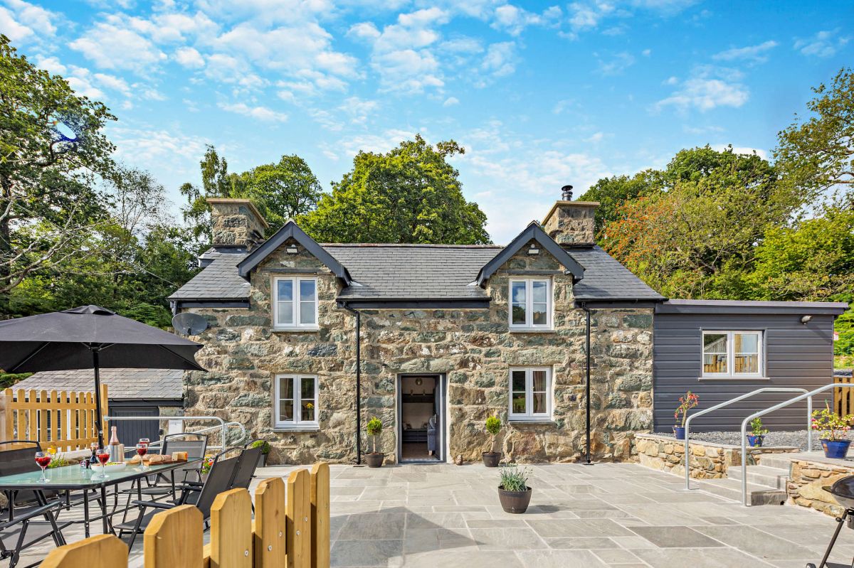
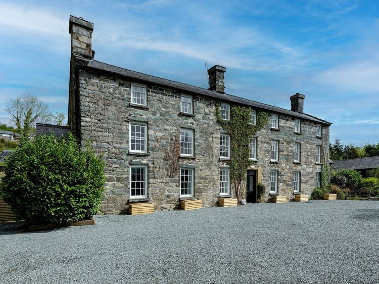
Snowdonia Manor
Sleeps 18 · 9 beds
- Hot tub
- Wood burner
- Dogs
from £3,068 / week
Check dates for Snowdonia Manor (opens the booking site in a new tab)Checked 8 Oct
Distances, ascent and times here are planning figures taken from published sources, not a route description to navigate by. Take a map and check the forecast.