Mawddach Trail
Near Barmouth, Eryri
- Distance
- 15 km
- Time
- 6 hr
- Difficulty
- Easy
- Shape
- There and back
- Dogs
- Yes: on a lead throughout, farmland and estuary, The Belmont's guide says
Start: Barmouth railway station
Grid ref: SH 612158
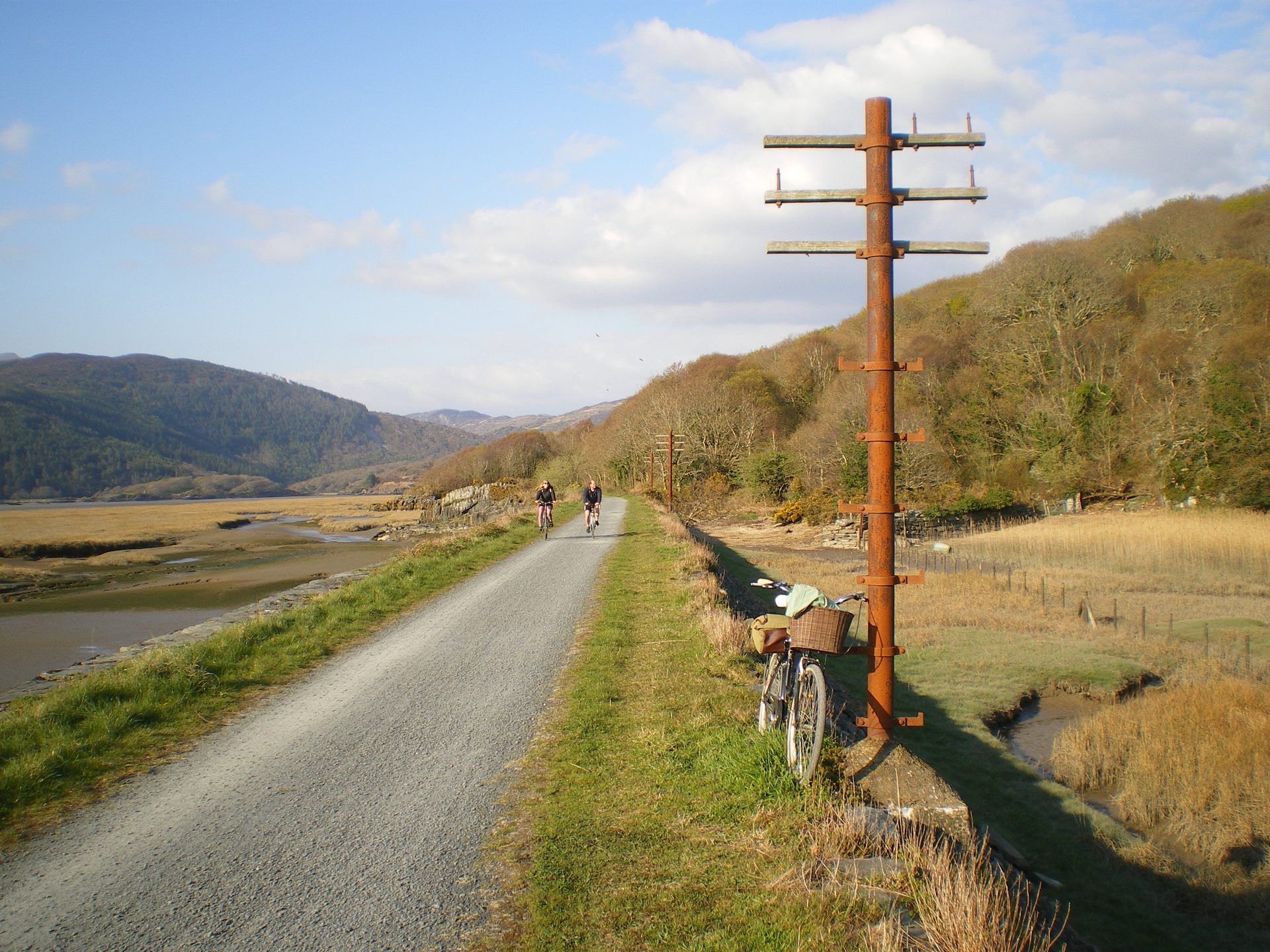
The Mawddach Trail runs along the southern shore of the Mawddach estuary between Barmouth and Dolgellau, following the trackbed of a former Great Western Railway branch line between Ruabon and Barmouth, opened in 1865 and closed in the Beeching cuts a century later. The Eryri National Park Authority describes the full 15 kilometre route as largely flat with no steps or steep sections, rated easy and explicitly suitable for wheelchairs and pushchairs, one of the most accessible routes of any length in the National Park.
From Barmouth, the trail crosses the estuary on Barmouth Bridge, sharing the crossing with the still-operating Cambrian Coast Line: the pedestrian and cycle path runs immediately alongside the single working railway track. Beyond the bridge, the old trackbed continues inland, fully disused and traffic-free, to Morfa Mawddach station and on to Dolgellau. The whole route also forms part of National Cycle Route 8, so cyclists use it as often as walkers.
The Authority lists the trail as one way, 15 kilometres long, with a duration of 6 hours for the full length. Barmouth and Morfa Mawddach are stations on the Cambrian Coast Line, Dolgellau has none, and Visit Bala lists the T3 bus, which GHA provides, between Dolgellau and Barmouth for the return. The Authority lists car parks and entrances at Dolgellau, Pont y Wernddu, Penmaenpool, Arthog, Morfa Mawddach and Barmouth, so the trail can be joined or left partway. This suits families, cyclists, and anyone wanting a long, level walk with estuary views rather than a hill day, and it can be walked in short sections rather than all at once. The whole route holds to the same flat, wooded and estuary-side character, so anyone after a climb should take the Panorama Walk, which looks down on the same estuary from above Barmouth.
Underfoot
Well-surfaced disused railway trackbed, flat throughout and suitable for wheelchairs and pushchairs, crossing Barmouth Bridge on a path alongside the still-operating railway.
Stay within reach of the start
Booking through these links earns a commission. The price is the same.
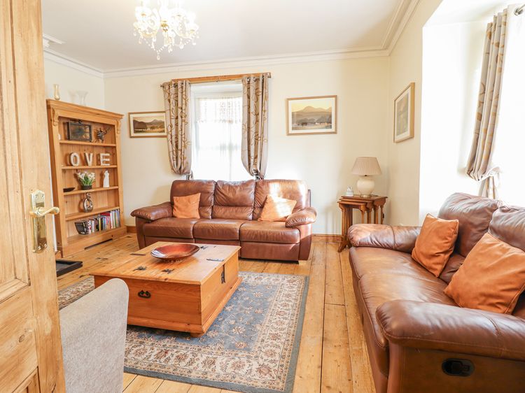
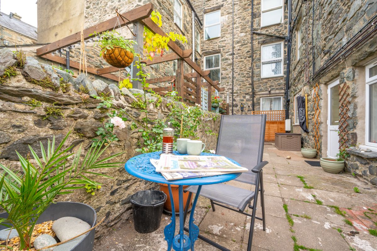
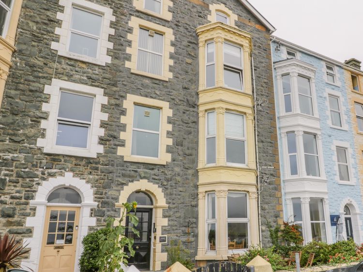
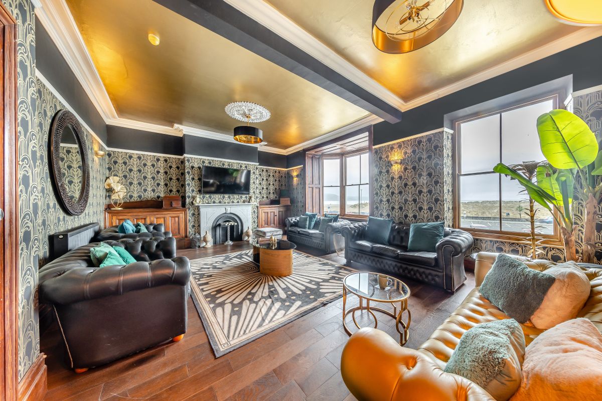
Barmouth, North Wales
Belmont House
Sleeps 18 · 9 beds
- Dogs
from £3,092 / week
Check dates for Belmont House (opens the booking site in a new tab)Checked 5 Oct
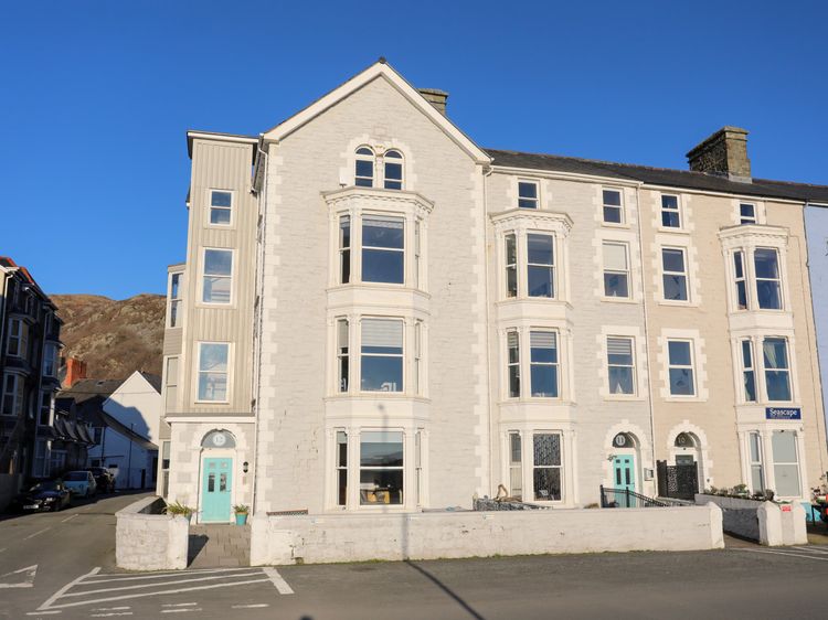
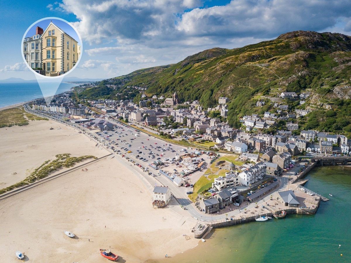
Barmouth, North Wales
On The Beach Barmouth
Sleeps 17 · 8 beds
- Dogs
from £2,499 / week
Check dates for On The Beach Barmouth (opens the booking site in a new tab)Checked 5 Oct
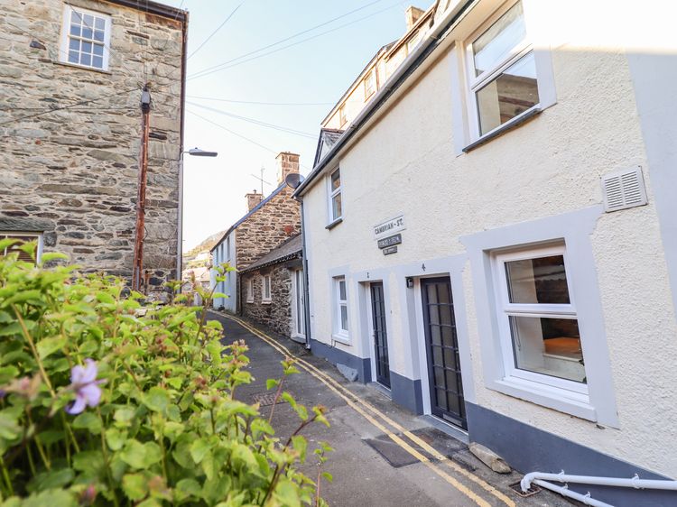
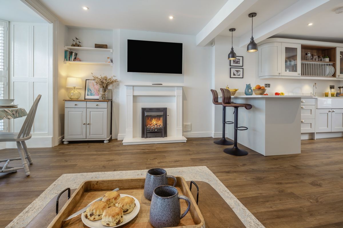
Barmouth, North Wales
Abermaw Heights
Sleeps 4 · 2 beds
- No dogs
from £579 / week
Check dates for Abermaw Heights (opens the booking site in a new tab)Checked 5 Oct
Distances, ascent and times here are planning figures taken from published sources, not a route description to navigate by. Take a map and check the forecast.