Panorama Walk
Near Barmouth, Eryri
- Distance
- 6.5 km
- Time
- 3 hr
- Difficulty
- Hard
- Shape
- Circular
- Dogs
- Yes: fit dogs only, on leads at the high points, GPS Routes says
Start: Eryri National Park Authority car park, Panorama Road, Barmouth
Grid ref: SH 625166
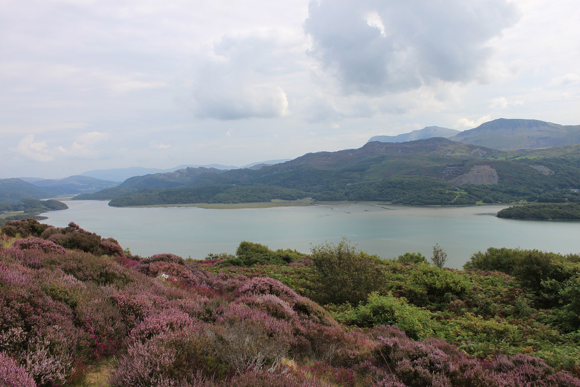
The Panorama Walk climbs from a National Park Authority car park on Panorama Road, on the edge of Barmouth, through the woodland of Coed Glan-y-Mawddach to a viewpoint on Ffridd Gorllwyn looking back down over the Mawddach estuary to Cadair Idris and the hills beyond. Barmouth was a popular visitor attraction in the Victorian era, the Authority records, and the path passes an old Victorian garden, popular in the early 1900s, that had a tea-room and a view of the surrounding area.
Eryri National Park Authority, which maintains the route, grades it hard/strenuous: it covers 6.5 kilometres with some steep sections, and the path can be very wet underfoot even outside winter, so boots are worth wearing rather than ordinary shoes. The Authority’s own description says the walk is not suitable for novice walkers, a stronger warning than the name suggests for what is fundamentally a viewpoint walk rather than a mountain route.
It is a circular route, returning to the same car park it starts from, and takes around three hours at a walking pace that allows time to stop at the viewpoint. This suits visitors staying in Barmouth who want a view of the estuary without driving anywhere, and walkers looking for something more substantial than a short waterside stroll. Despite the modest distance it is not a flat circuit; the level way along the same estuary is the Mawddach Trail.
Underfoot
Woodland (Coed Glan-y-Mawddach), country roads and open hillside, with steep sections that can be very wet underfoot.
Stay within reach of the start
Booking through these links earns a commission. The price is the same.

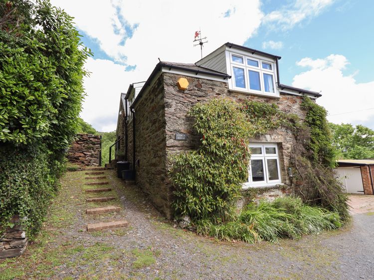
Abermo near Barmouth
Bodowen Coach House
Sleeps 4 · 2 beds
- Wood burner
- No dogs
from £490 / week
Check dates for Bodowen Coach House (opens the booking site in a new tab)Checked 8 Oct

Barmouth, North Wales
The Moorings Barmouth
Sleeps 4 · 2 beds
- Dogs
from £468 / week
Check dates for The Moorings Barmouth (opens the booking site in a new tab)Checked 5 Oct
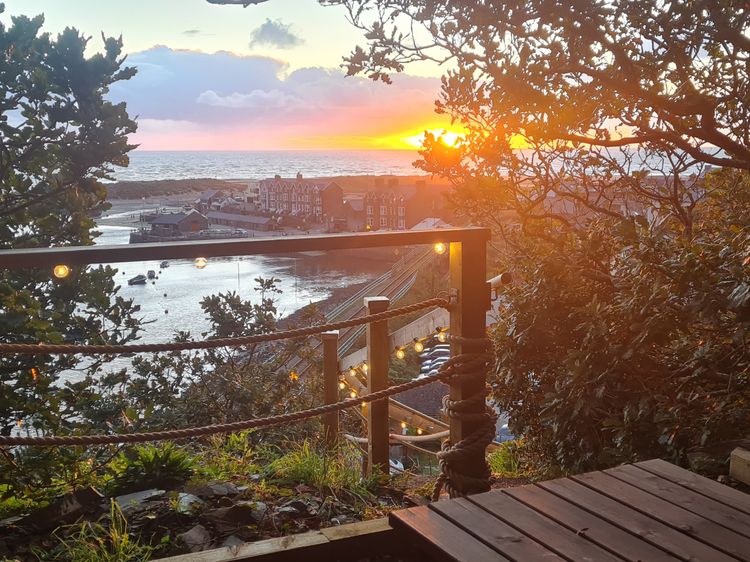
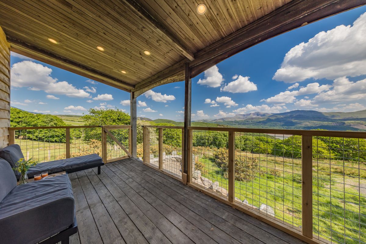
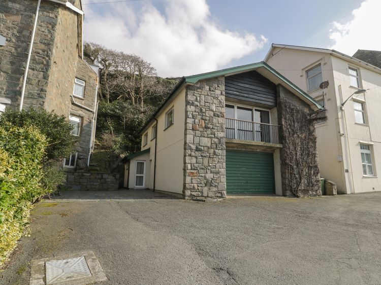

Barmouth, North Wales
Custard Cottage
Sleeps 6 · 3 beds
- Dogs
from £1,003 / week
Check dates for Custard Cottage (opens the booking site in a new tab)Checked 5 Oct
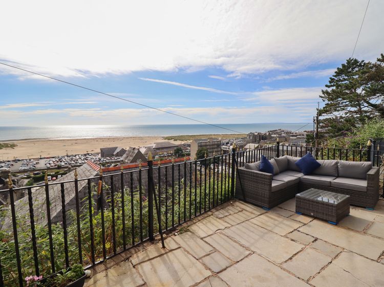
Barmouth
Tonnau Yr Oleu or “ Waves of Light”
Sleeps 8 · 4 beds
- Dogs
from £743 / week
Check dates for Tonnau Yr Oleu or “ Waves of Light” (opens the booking site in a new tab)Checked 8 Oct
Distances, ascent and times here are planning figures taken from published sources, not a route description to navigate by. Take a map and check the forecast.