Bracklinn Falls
Near Callander, Scotland
- Distance
- 5.25 km
- Ascent
- 157 m
- Time
- 1 hr 30 min
- Difficulty
- Easy
- Shape
- Circular
- Dogs
- Yes: keep out of the fast water; cows on the lane back, Paws Explore North says
Start: Bracklinn Falls car park, off Bracklinn Road, Callander
Grid ref: NN 636083
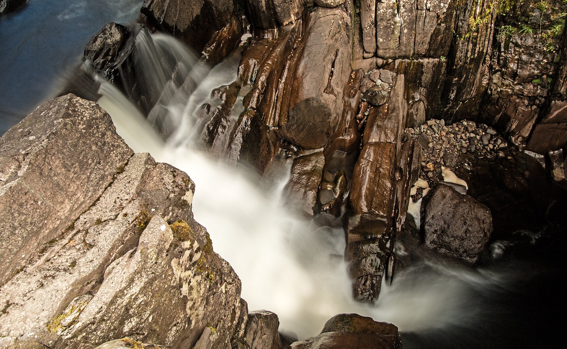
Bracklinn Falls sits a short walk north-east of Callander, where the Keltie Water crosses the Highland Boundary Fault, the geological line separating the Lowlands from the Highlands, and drops through a rocky gorge in a series of falls. A footbridge crosses the gorge just below the falls, giving a view down into the water from above; the steel bridge that opened in 2023 was the third on the site, after a cast-iron bridge built for a visit by Queen Victoria in the 1870s was destroyed by flooding in 2004 and its 2010 replacement did not last, a reminder that this is a powerful stretch of water rather than a gentle burn.
The falls lie inside the Loch Lomond and The Trossachs National Park. The walk out from the car park on the edge of town follows a waymarked woodland path, easy underfoot for almost its whole length and, by Walkhighlands’ rating, suitable for some baby buggies as far as the falls, with only a gentle climb as it nears the gorge, though Walkhighlands warns of steep drops and slippery stones at the falls themselves. Walkhighlands measures the circuit, which crosses the bridge, climbs through forestry and returns by a quiet minor road, at 5.25km with 157m of ascent, about an hour and a half.
This is the walk to recommend to anyone based in Callander who wants a short, low-effort outing rather than a hill day: it needs no particular fitness or specialist footwear, and the falls are a good return for very little walking. It is less satisfying after a dry spell, when the falls carry a fraction of their usual flow, though the gorge and bridge are worth seeing regardless of water level. The falls suit a first afternoon in Callander and anyone walking with a companion who cannot walk far. This is not a walk for anyone wanting height or a summit, and it will not fill a day. Ben A’an, also reached from Callander, adds 340m of ascent and a Trossachs view for two to four hours on Walkhighlands’ figures.
Underfoot
Waymarked woodland path and track, generally easy going with some gentle gradient near the falls.
Stay within reach of the start
Booking through these links earns a commission. The price is the same.
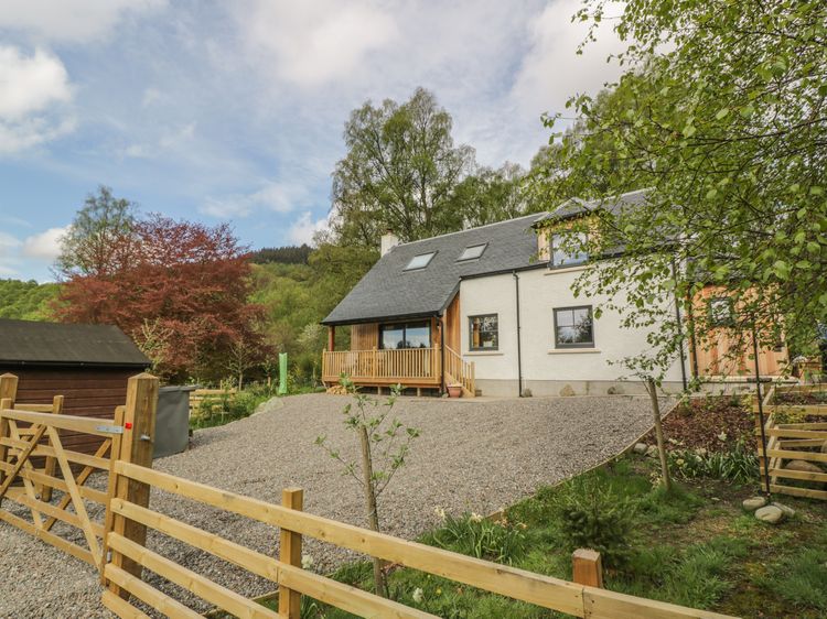
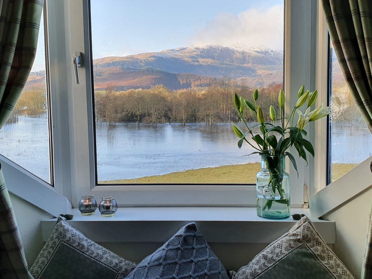
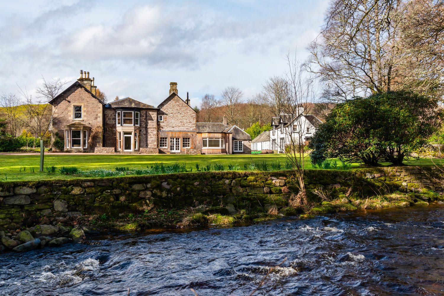
Doune, near Dunblane, Central Scotland
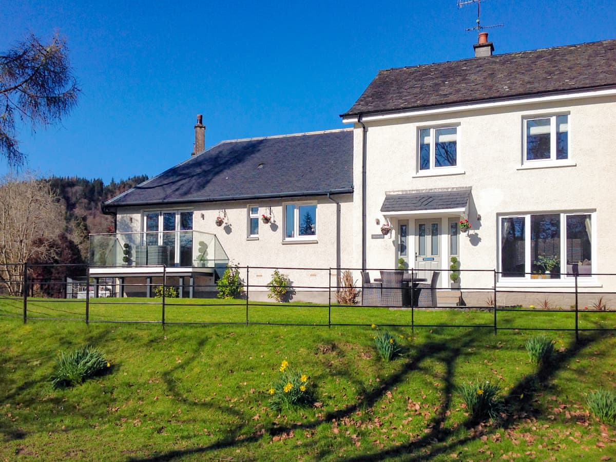
The Jacobite's Lodge
Sleeps 6 · 3 beds
- Wood burner
- Dogs
from £2,089 / week
Check dates for The Jacobite's Lodge (opens the booking site in a new tab)Checked 8 Oct

Callander, Central Scotland
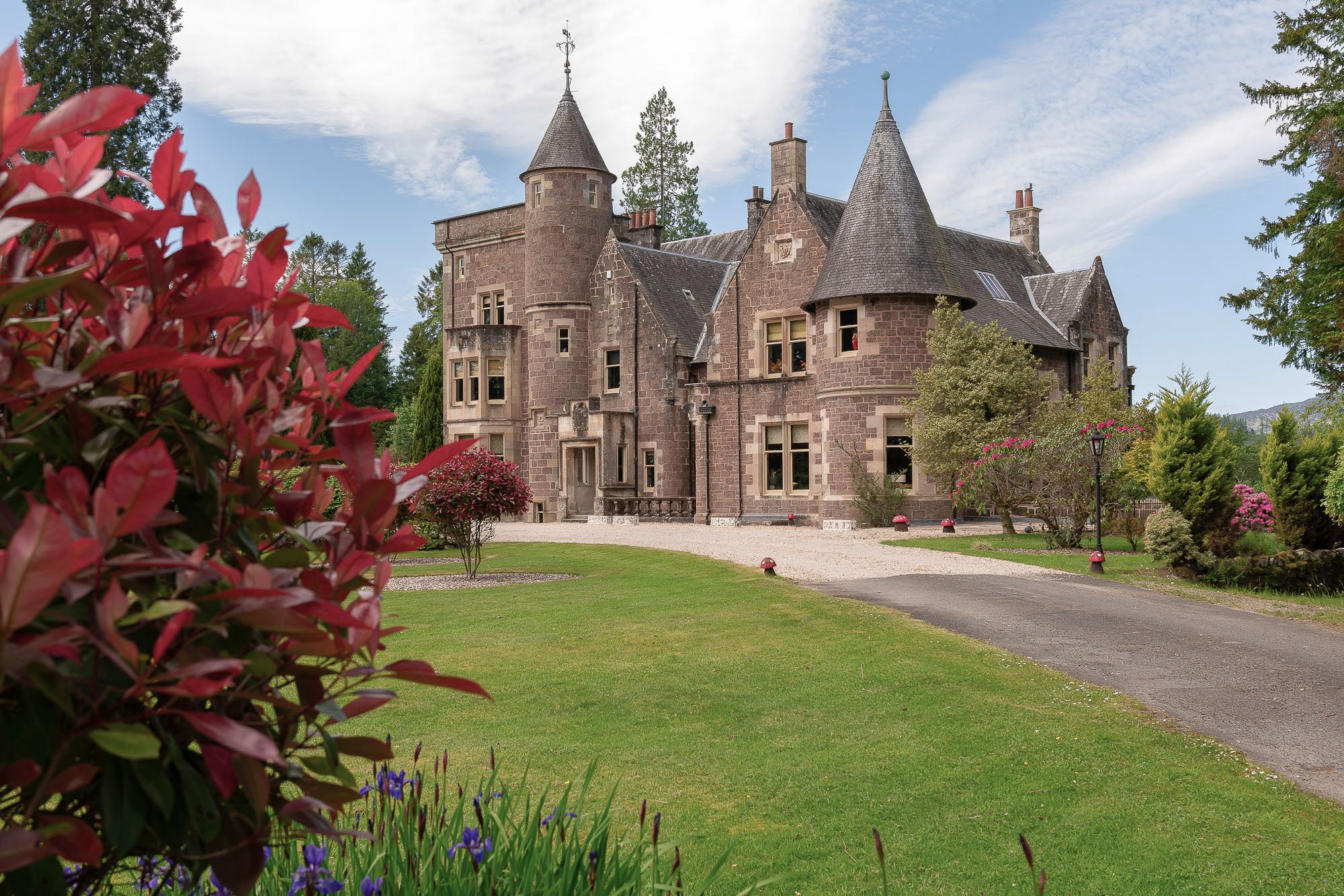
Loch Lubnaig Lodge
Sleeps 6 · 3 beds
- No dogs
from £734 / week
Check dates for Loch Lubnaig Lodge (opens the booking site in a new tab)Checked 8 Oct
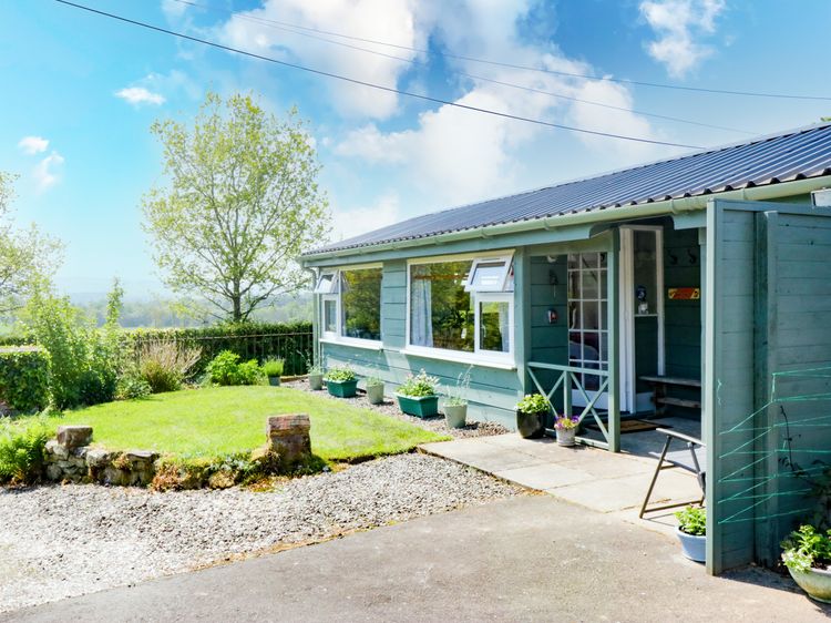
Aberfoyle
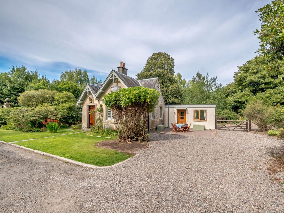
The Old School Bike Shed
Sleeps 2 · 1 bed
- Dogs
from £514 / week
Check dates for The Old School Bike Shed (opens the booking site in a new tab)Checked 9 Oct
Distances, ascent and times here are planning figures taken from published sources, not a route description to navigate by. Take a map and check the forecast.