Ben A'an
Near Callander, Scotland
- Distance
- 3.7 km
- Ascent
- 340 m
- Time
- 3 hr
- Difficulty
- Moderate
- Summit
- 454 m
- Shape
- There and back
- Parking
- Paid
- Dogs
- Yes: steep in places, the dog must be fit, 10Adventures says
Start: Ben A'an car park, A821 between Kilmahog and Aberfoyle
Grid ref: NN 509070
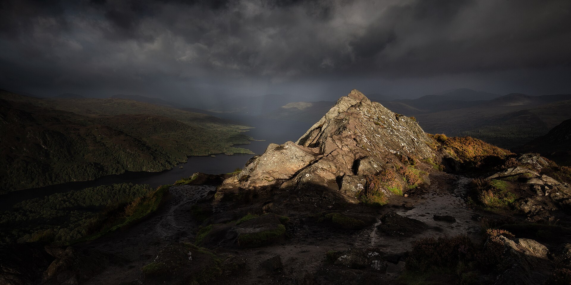
Ben A’an is one of the smallest hills to have its own name and reputation in Scotland, at only 454m, but its summit view over Loch Katrine and across the Trossachs to Ben Lomond and Ben Venue is disproportionately good for the modest effort required, and Walkhighlands notes it is often known as the mountain in miniature.
Forestry and Land Scotland manages the ground west, south and east of the summit, Walkhighlands notes. From the car park on the shore of Loch Achray, a clear, signed path climbs steadily north-east through forestry before crossing a burn and continuing up steeper, more open ground beneath the hill’s crags. There is no scrambling on the standard route, but the final section is steep and loose in places, enough to make this feel like a small mountain rather than a stroll. Most walkers stop at the west top, the usual finishing point, and Wikipedia notes that there is no obvious path to the main summit beyond it.
Walkhighlands measures the round trip at 3.7km with 340m of ascent and allows two to four hours, and it counts Ben A’an among the most popular of Scotland’s smaller hills, a real hill with a real view and close enough to Glasgow and Stirling for a half-day trip. The car park fills quickly on sunny summer weekends, with the Ben Venue car park 450m along the A821 as the nearest alternative. The steepness rules it out for anyone who read the low summit height as an easy option; for a genuinely gentle walk from Callander, Bracklinn Falls is the one to take.
Underfoot
Signed path climbing steadily through forest then open, rockier ground; steep and loose on the final approach to the top.
Stay within reach of the start
Booking through these links earns a commission. The price is the same.
Brig O'Turk
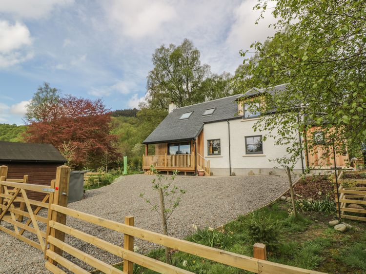
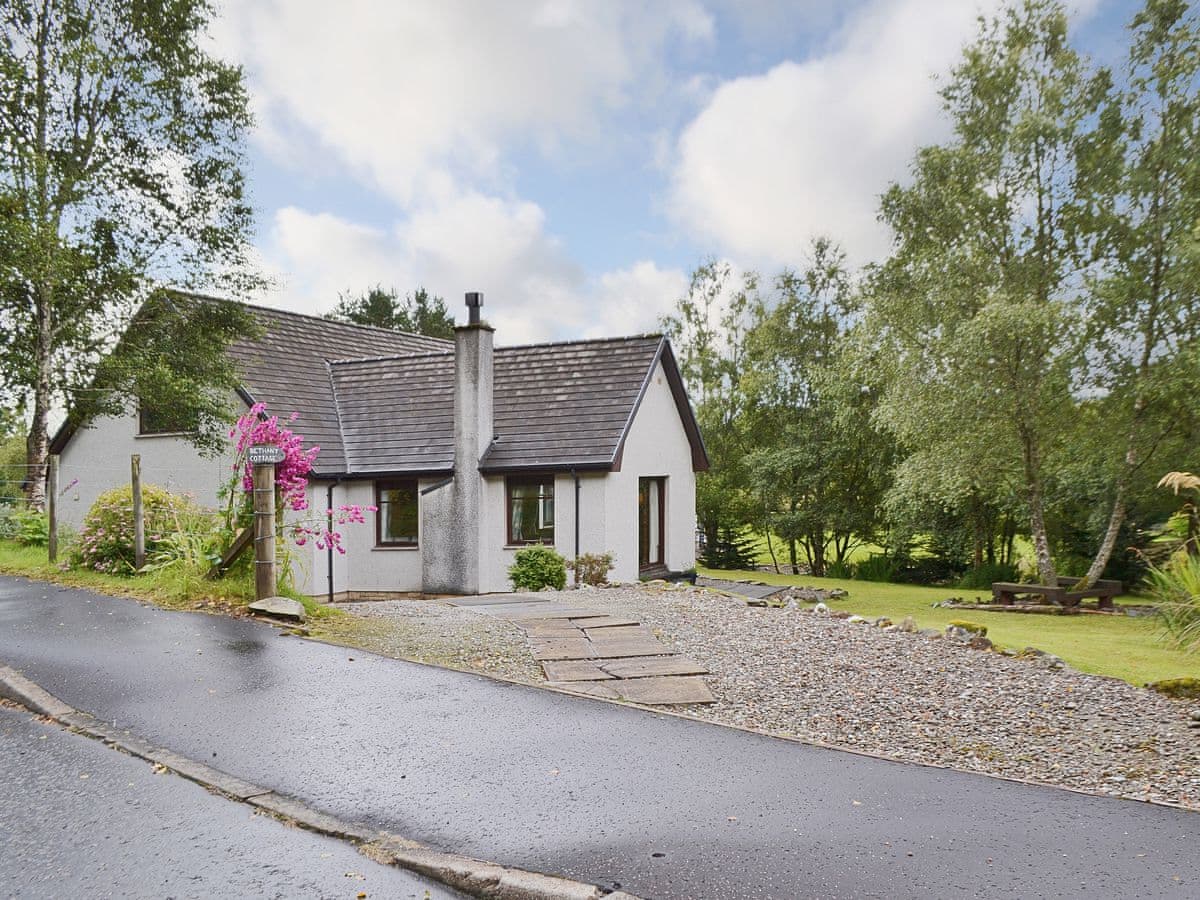
Bethany Cottage
Sleeps 6 · 3 beds
- Dogs
from £797 / week
Check dates for Bethany Cottage (opens the booking site in a new tab)Checked 24 Oct

Callander, Central Scotland
Loch Lubnaig Lodge
Sleeps 6 · 3 beds
- No dogs
from £734 / week
Check dates for Loch Lubnaig Lodge (opens the booking site in a new tab)Checked 8 Oct
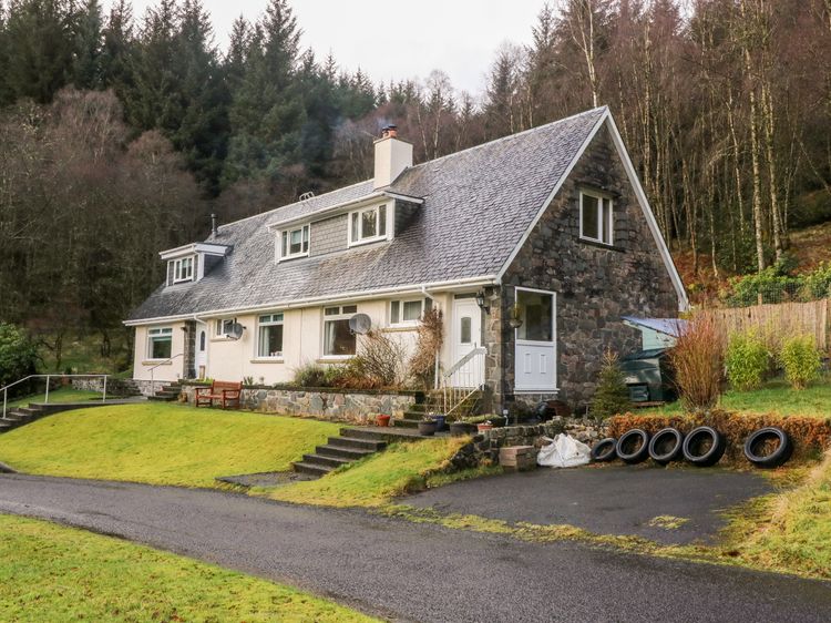
Brig o'Turk near Callander
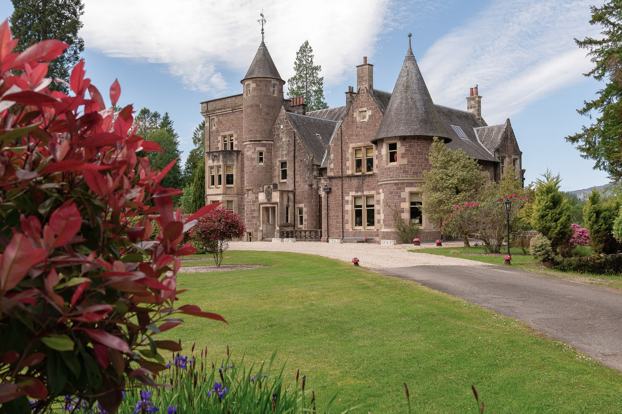
Glenfinglas Dam Cottage
Sleeps 5 · 3 beds
- Wood burner
- Dogs
from £760 / week
Check dates for Glenfinglas Dam Cottage (opens the booking site in a new tab)Checked 9 Oct
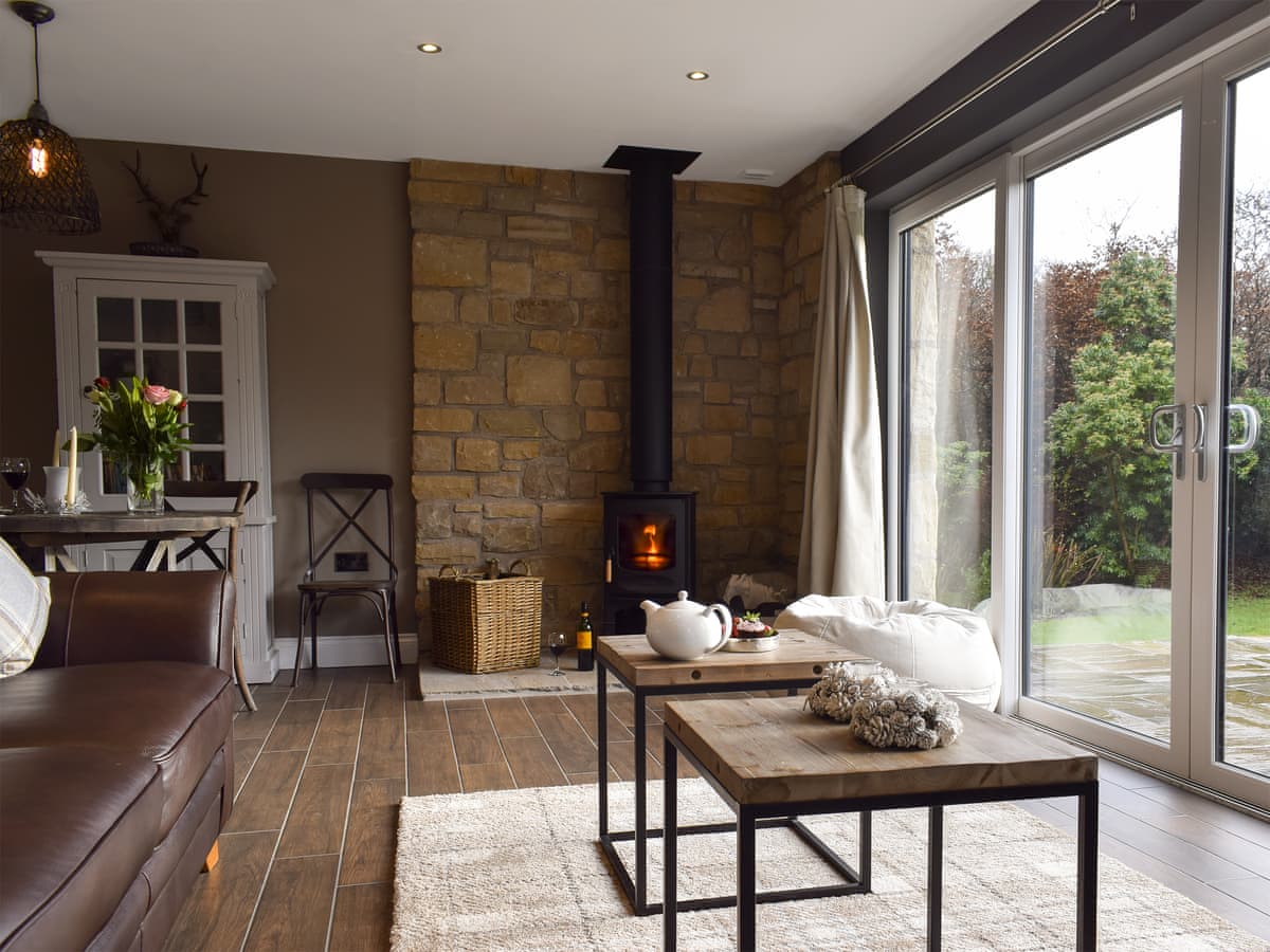
Brig o' Turk
Trunkie Cottage
Sleeps 2 · 1 bed
- Dogs
from £781 / week
Check dates for Trunkie Cottage (opens the booking site in a new tab)Checked 24 Oct
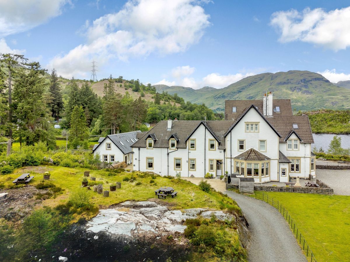
Stronachlachar, Central Scotland
Wattie Cottage - Loch Katrine
Sleeps 8 · 4 beds
- Wood burner
- Dogs
from £1,022 / week
Check dates for Wattie Cottage - Loch Katrine (opens the booking site in a new tab)Checked 8 Oct
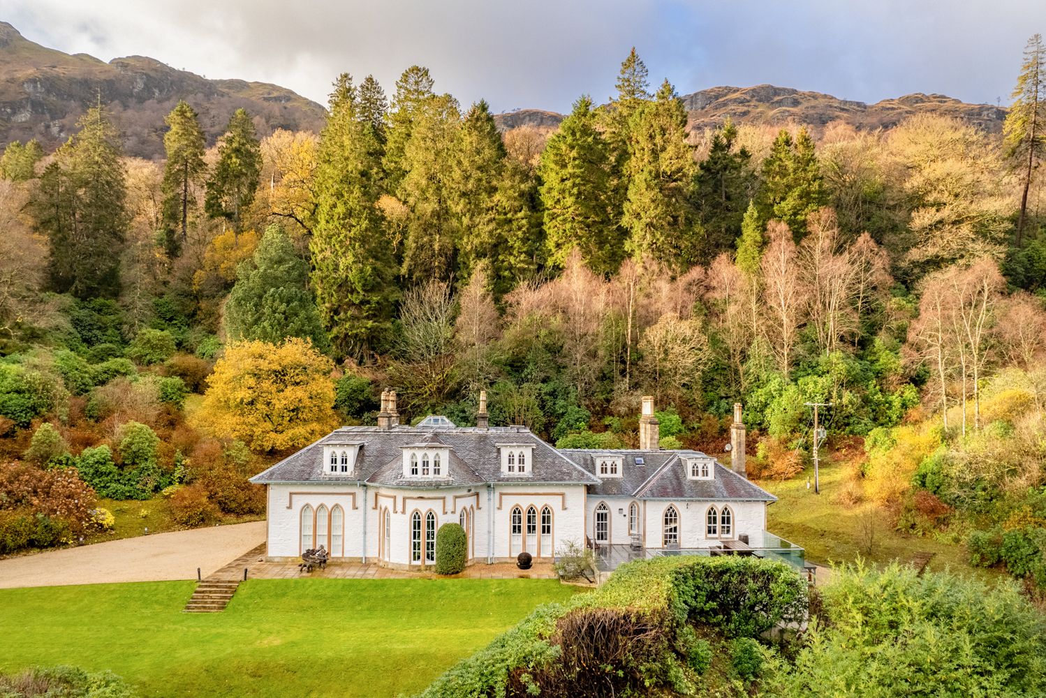
Distances, ascent and times here are planning figures taken from published sources, not a route description to navigate by. Take a map and check the forecast.