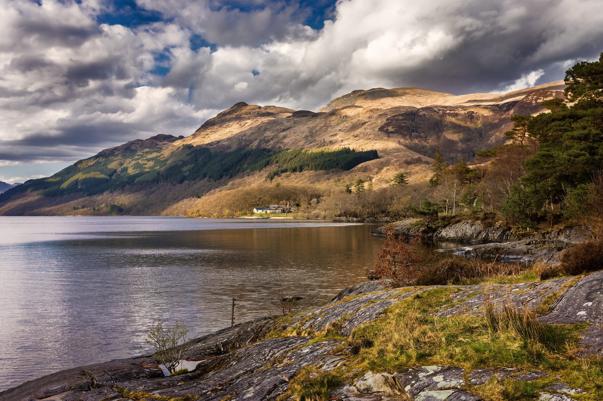
Ben Lomond from Rowardennan
Near Callander, Scotland
- Distance
- 12 km
- Ascent
- 990 m
- Time
- 5 hr
- Difficulty
- Hard
- Summit
- 974 m
- Shape
- Circular
- Parking
- Paid
Start: Rowardennan car park
Grid ref: NS 359986
Ben Lomond, at 974m the most southerly Munro, is one of the most popular Munros, and Walkhighlands puts the number who reach the top at 30,000, drawn by views along the length of Loch Lomond and its islands. The National Trust for Scotland bought 2,173 hectares of the mountain in 1984, including the summits of Ptarmigan, Sron Aonaich and Beinn Uird as well as Ben Lomond itself, from the old Blairvockie Farm, a purchase prompted by public concern over safeguarding access to the hill.
Callander sits on the wrong side of the Trossachs for a direct approach: reaching Rowardennan means a drive south through Aberfoyle to Drymen and then, as the tourism board for the area describes it, eleven miles up a narrow, winding dead-end road along the loch shore, not a short hop from the town. From the car park, a charge applies, a well-made path climbs through woodland and then open hillside on the mountain’s south ridge, gaining height steadily before two final zigzags up the summit cone to a trig point above a steep eastern corrie.
The standard descent retraces the ascent path, but Walkhighlands describes an alternative return down the rockier, steeper Ptarmigan ridge to the north-west, muddy lower down, which turns the day into a horseshoe. The round measures around 12km with 990m of ascent, four and a half to five and a half hours, by Walkhighlands’ count. It is a full Munro within reach of Glasgow and Stirling, which is its case; it does not suit a walk from the door of Callander, being a long drive away, and the Ptarmigan descent is a poor choice for anyone without sure footing on loose rock. A shorter Trossachs hill with Ben Lomond in view rather than underfoot is Ben A’an, under half the height and a much shorter drive from Callander.
Underfoot
A clear, well-made path with some rocky sections, steepening into zigzags on the final summit cone; the alternative Ptarmigan ridge descent is steeper, rockier and muddy lower down.
Stay within reach of the start
Everything here is inside 30 km of Ben Lomond from Rowardennan.
Booking links on these earn us a commission. The price you pay is the same either way.
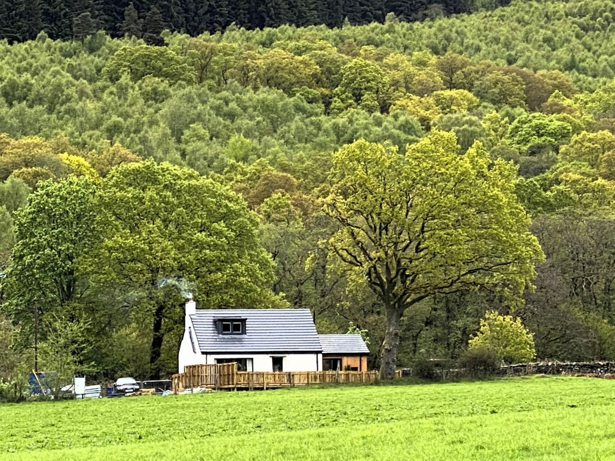
Cashel, near Rowardennan, Central Scotland
Clarinnes Cottage
Sleeps 6 · 3 beds
- Hot tub
- Wood burner
- Dogs
from £1,119 / week
Check dates for Clarinnes Cottage (opens the booking site in a new tab)Checked 8 Oct

Tarbet, near Arrochar, Central Scotland
The Walled Garden - Arrochar
Sleeps 10 · 5 beds
- Hot tub
- Wood burner
- Dogs
from £2,969 / week
Check dates for The Walled Garden - Arrochar (opens the booking site in a new tab)Checked 8 Oct

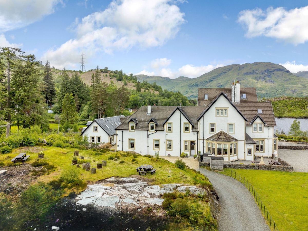
Stronachlachar, Central Scotland
Wattie Cottage - Loch Katrine
Sleeps 8 · 4 beds
- Wood burner
- Dogs
from £1,022 / week
Check dates for Wattie Cottage - Loch Katrine (opens the booking site in a new tab)Checked 8 Oct
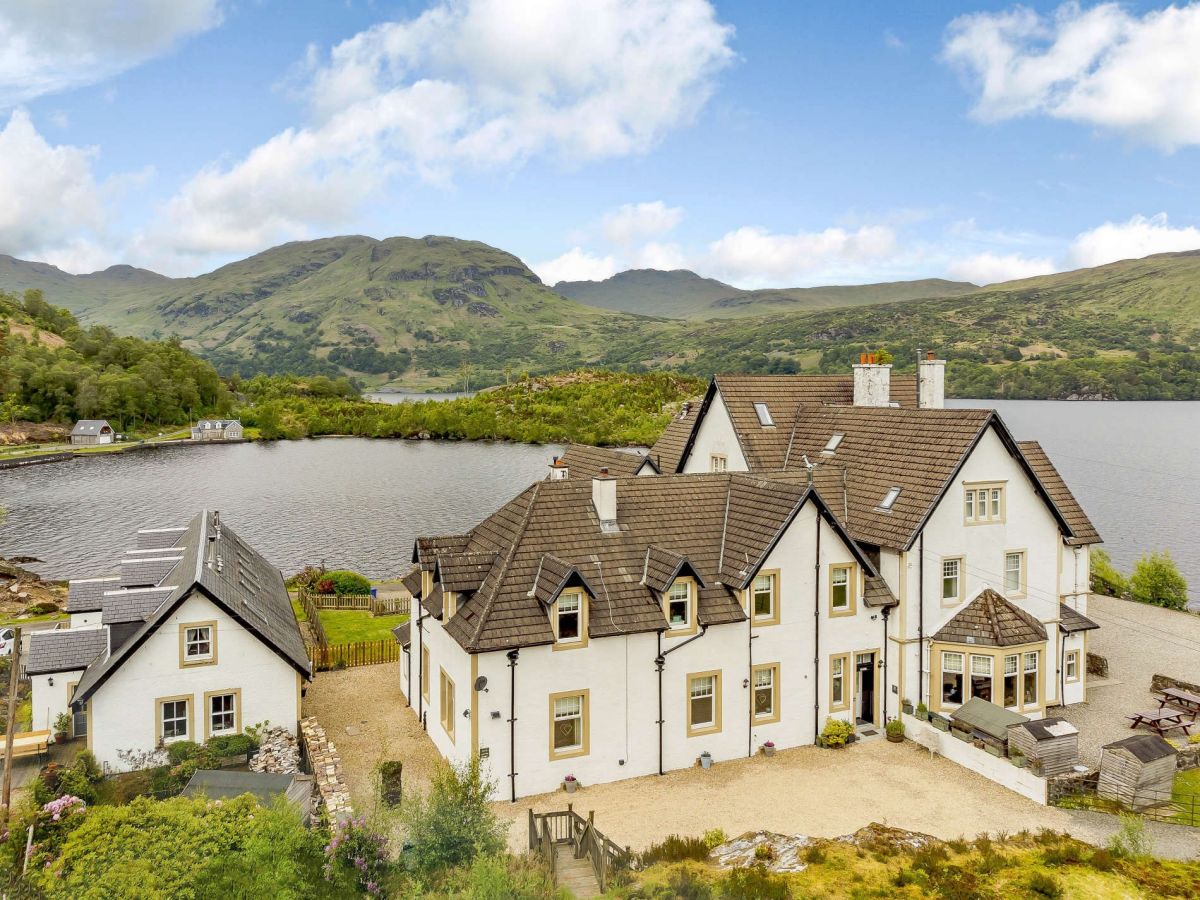
Stronachlachar, Central Scotland
Scott Cottage - Loch Katrine
Sleeps 5 · 3 beds
- Wood burner
- Dogs
from £922 / week
Check dates for Scott Cottage - Loch Katrine (opens the booking site in a new tab)Checked 8 Oct
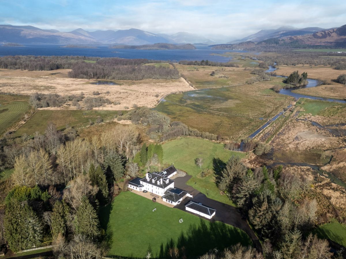
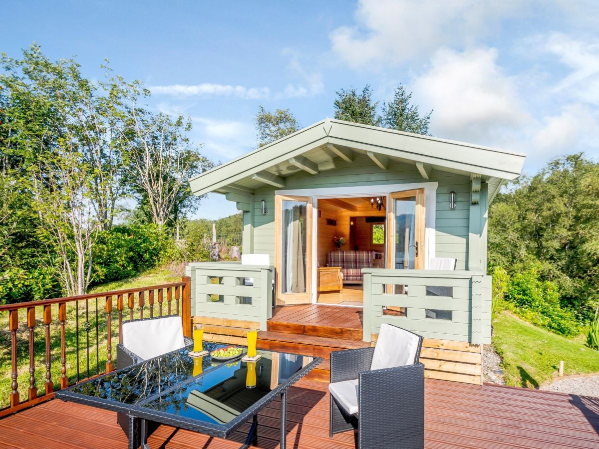
Garelochhead, near Helensburgh, Central Scotland
Birchbank Loch View Lodge
Sleeps 2 · 1 bed
- Dogs
from £489 / week
Check dates for Birchbank Loch View Lodge (opens the booking site in a new tab)Checked 7 Oct
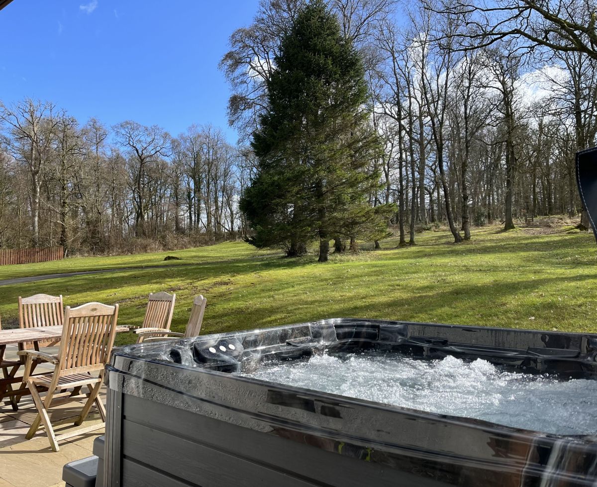
Croftamie, near Alexandria, Central Scotland
Oakwoods House
Sleeps 10 · 4 beds
- Hot tub
- Wood burner
- Dogs
from £1,915 / week
Check dates for Oakwoods House (opens the booking site in a new tab)Checked 8 Oct
Distances, ascent and times here are planning figures taken from published sources, not a route description to navigate by. Take a map and check the forecast. We do not publish conditions, because nothing on this page is updated often enough for you to trust it on the day.