Ben A'an
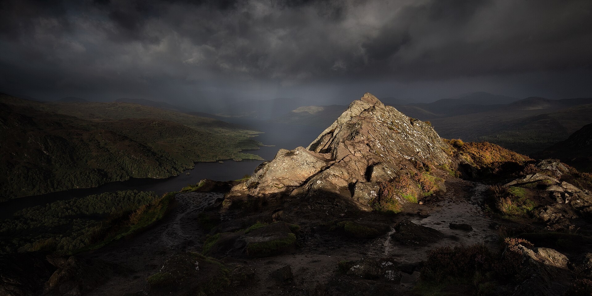
A short, steep hill above Loch Achray, often called the mountain in miniature, with a summit view out of proportion to its height.
- 3.7 km
- 340 m up
- 3 hr
- Moderate
Gaelic: Calasraid
The Trossachs' front door, an hour from Glasgow.
Stirling
The town's own station closed in 1965; Dunblane is nearer, but Stirling is the station with a bus on to Callander.
8
215
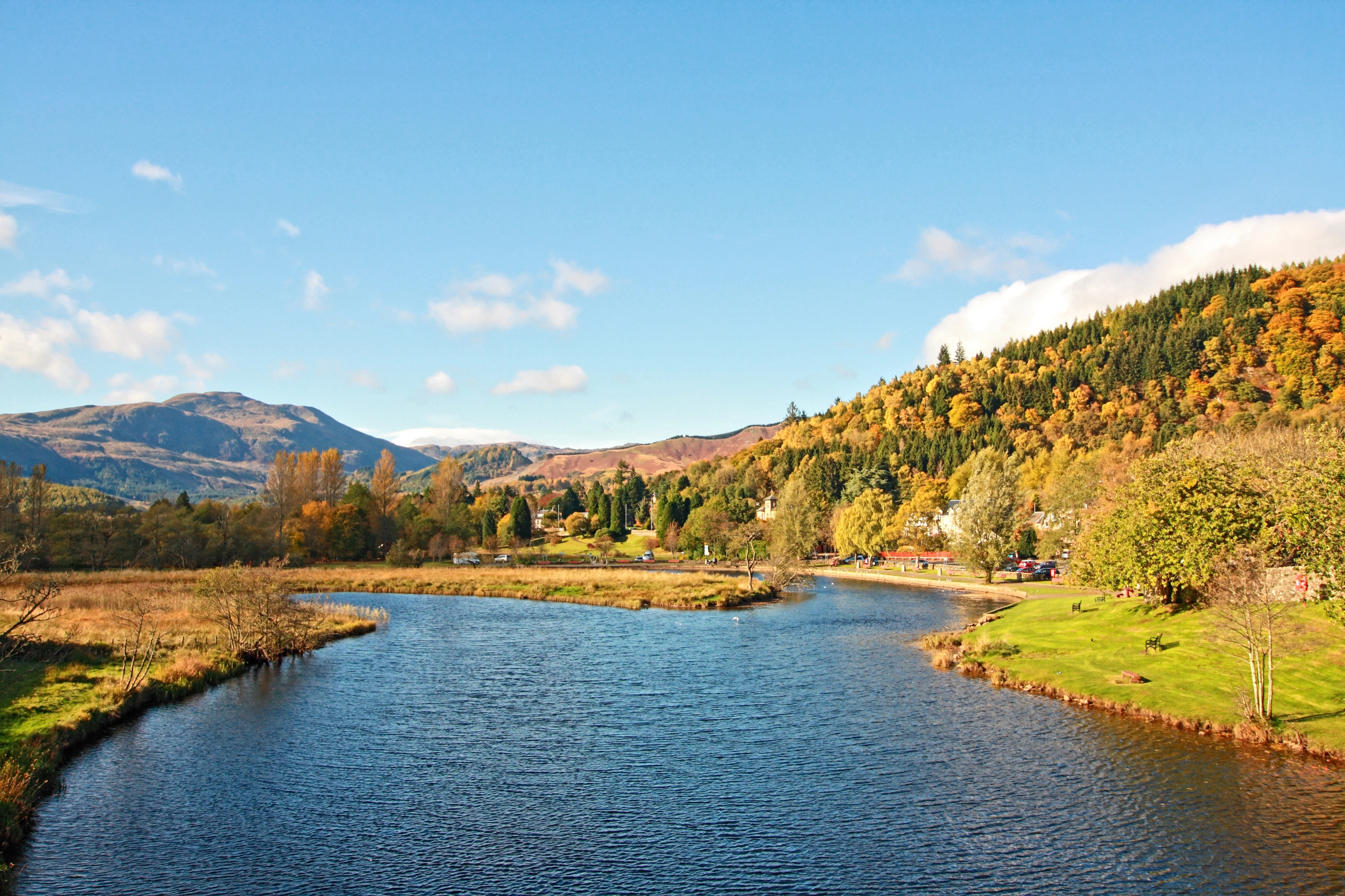
Callander lies on the River Teith in Stirling council area, at the point where the lowlands give way to the Highland Boundary Fault and the hills of the Trossachs begin. It calls itself, with some justification, the gateway to the Highlands, though it sits outside the Highland local authority area and outside “the Highlands” as most Scots would use the term: this is the Trossachs, a place often described as the Highlands in miniature precisely because it is not quite the real thing, closer to Glasgow and gentler in scale.
Callander is the busiest and best-equipped town on the eastern side of Loch Lomond and the Trossachs National Park, with a full range of shops, cafes and accommodation along its long main street. It sits within easy reach of Loch Katrine, Loch Venachar and Loch Achray, and of Ben Lomond and its loch a little further west, while remaining under an hour from Glasgow and Stirling by road, which makes it a realistic short-break base rather than a long-haul one.
Bracklinn Falls, on the edge of town, is a signed link path of about a kilometre from the town, by Walkhighlands’ count. Ben A’an, the shortest hill walk in the list at 3.7km round, is a short drive west along the A821 to its own car park on the shore of Loch Achray, and Walkhighlands lists the Trossachs Explorer bus to it from Callander and Aberfoyle. Ben Ledi, a 879m Corbett about 6km north-west of the town, starts from the parking area at the Pass of Leny off the A84, 2km on foot past the Falls of Leny from the same bus’s stop at Kilmahog, and Walkhighlands puts the round by Stank Glen at 10km with 770m of ascent. Ben Vorlich, a 985m Munro, is the larger day: it is climbed from Ardvorlich on the south shore of Loch Earn, and Walkhighlands gives the round with Stùc a’ Chròin as 14.5km and 1,145m of ascent. Loch Katrine, with its Sir Walter Scott-themed steamship and level cycle path, is a few miles further on the same road.
Callander lost its railway in the Beeching cuts of 1965; part of the old trackbed now carries National Cycle Network Route 7 and the Rob Roy Way. Dunblane is the nearest working station, but Stirling, on the same line, is the one with a bus on to Callander, the 59 via Doune. The town’s car parks fill on summer weekends, when day traffic from Glasgow and Edinburgh is heaviest.
A waymarked path from a car park at the edge of town is all it takes to reach Bracklinn Falls, no climbing involved, and a metal footbridge, opened in 2023 after its predecessor was condemned as unsafe, looks straight down into the gorge, all inside a couple of hours there and back. Ben A’an, a short drive west, is a different proposition: only 454 metres and just over three and a half kilometres round trip, but the final stretch is loose and steep underfoot, and better suited to families with older children than to anyone still holding an adult’s hand on the flat. For a day off from walking altogether, the steamship Sir Walter Scott, built in 1899 and still in service, sails Loch Katrine a few miles further up the same road, with one and two-hour cruises from Trossachs Pier and a deck that takes a wheelchair or a buggy without trouble.
Car parks serve the main street; the Ben A'an car park on the A821 and the Bracklinn Falls car park both have their own charges.
The A821, the Trossachs road, runs north-west from Callander to Loch Katrine and on to Aberfoyle over the Duke's Pass.
A short, steep hill above Loch Achray, often called the mountain in miniature, with a summit view out of proportion to its height.
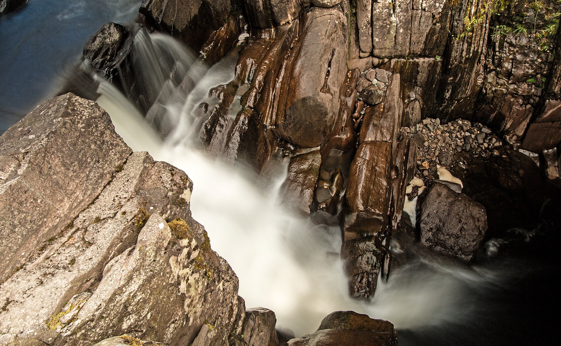
A short, easy woodland walk from Callander to a series of falls on the Keltie Water, crossed by a footbridge above a rocky gorge.
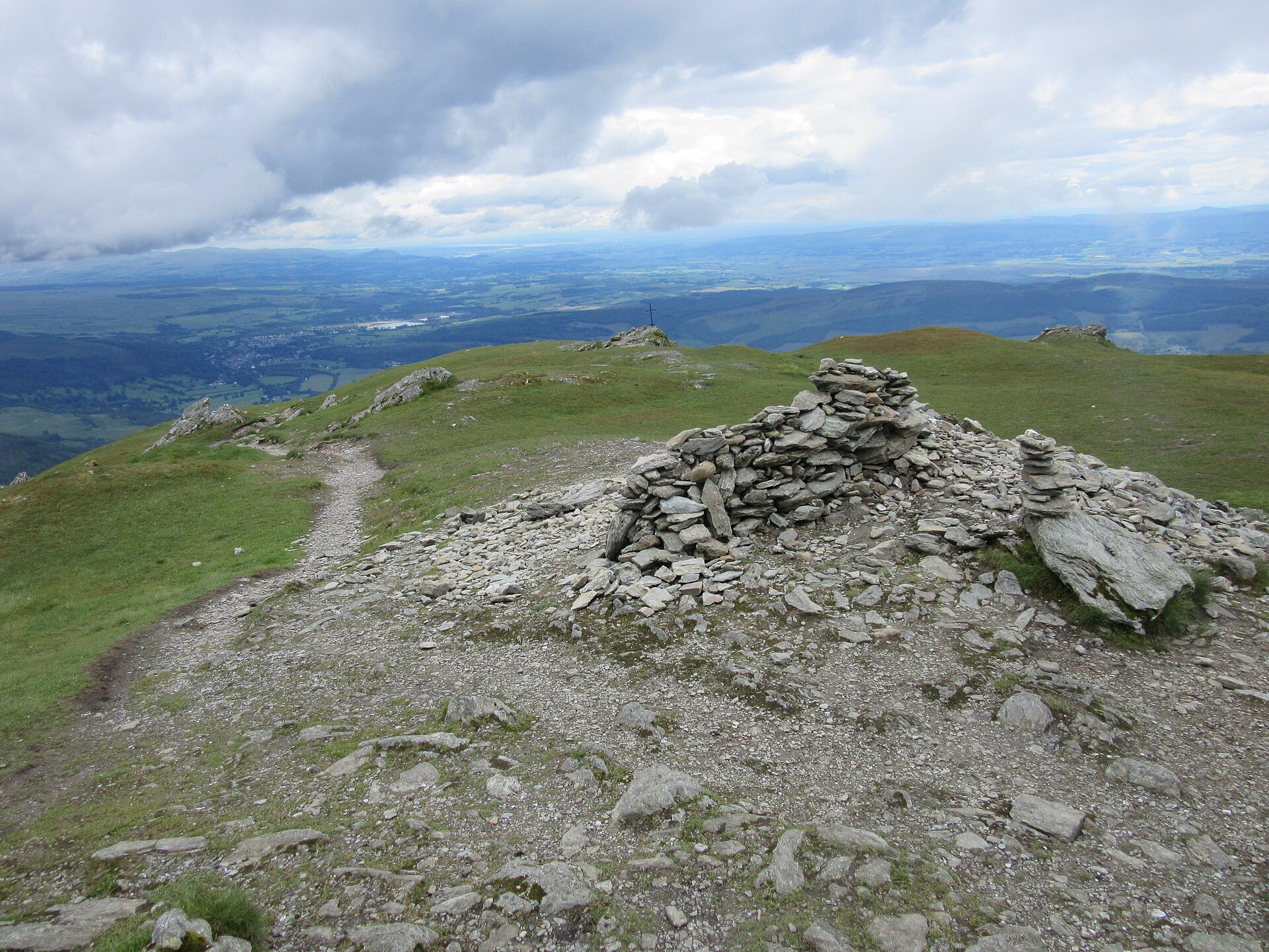
The Trossachs' most prominent summit above Callander, climbed on a constructed path with a rougher return through Stank Glen.
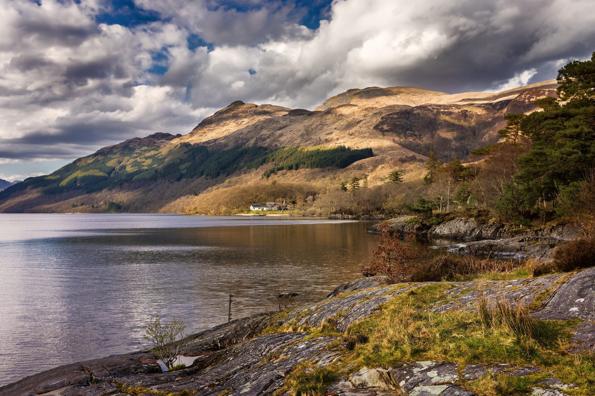
The most southerly Munro, climbed from Rowardennan on Loch Lomond's shore, with an optional, steeper descent by the Ptarmigan ridge.
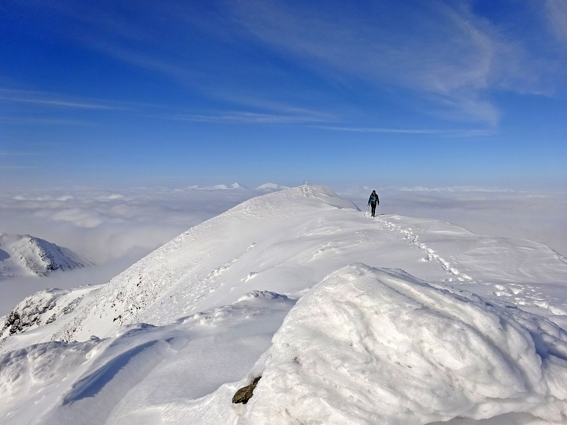
A Munro above Loch Earn's south shore, climbed from Ardvorlich by the Sgiath nam Tarmachan ridge, with an optional scramble on to Stùc a' Chròin.
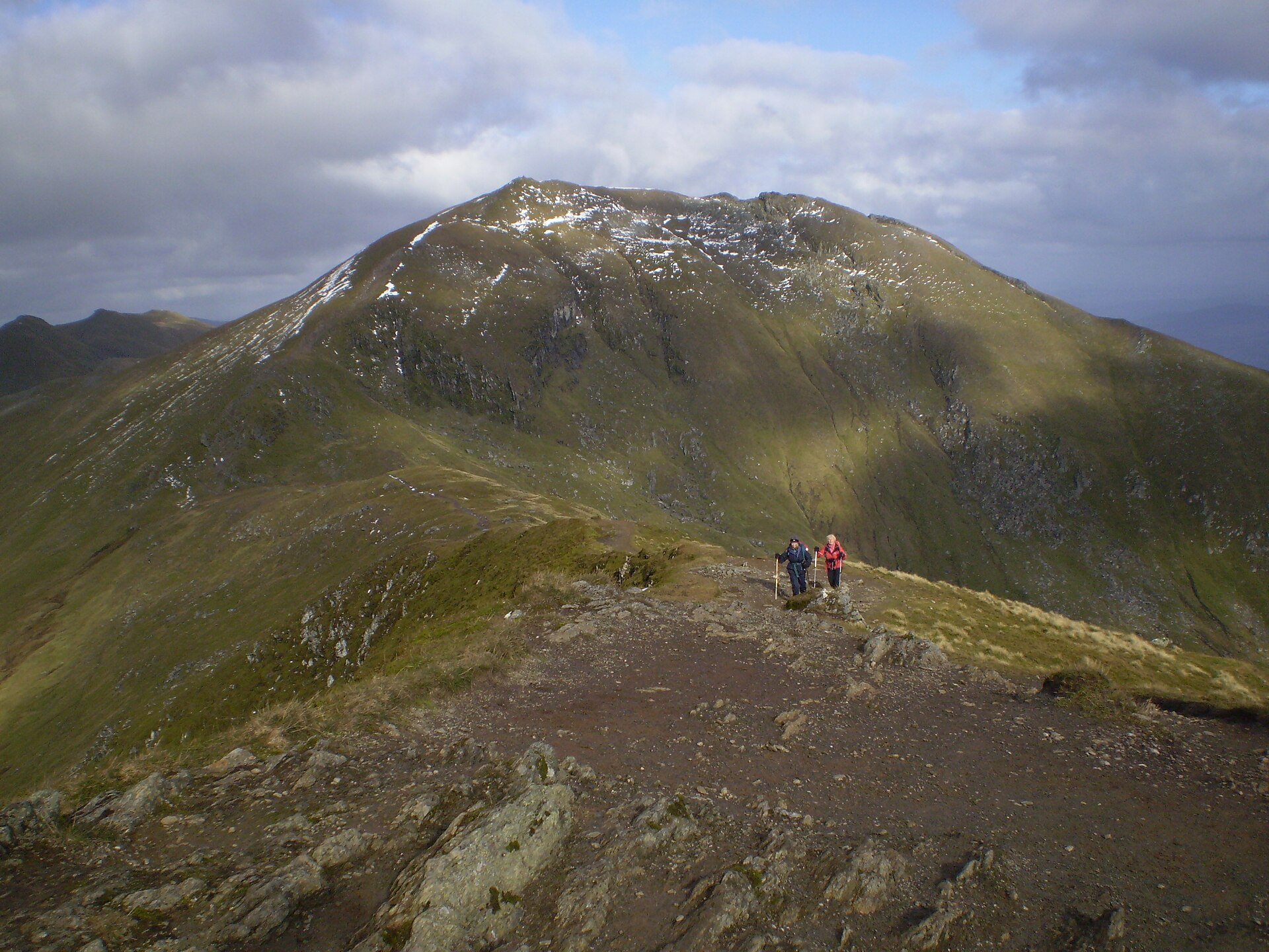
The tenth highest Munro, climbed with Beinn Ghlas from a high car park on the National Trust for Scotland's Ben Lawers reserve, in 11km and 942m of ascent.
Booking through these links earns a commission. The price is the same.
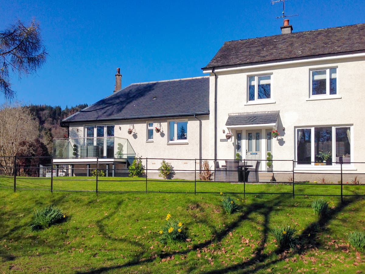
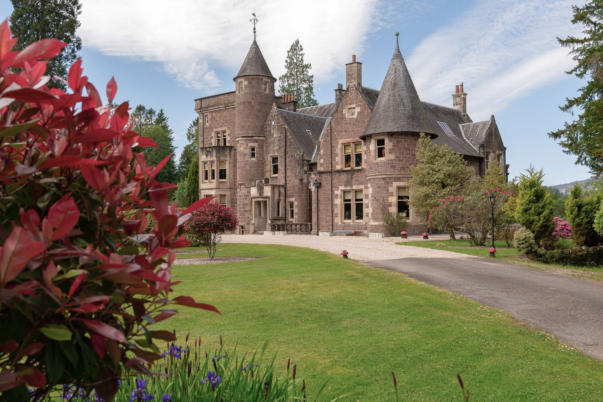
Doune, near Dunblane, Central Scotland
Sleeps 6 · 3 beds
from £2,089 / week
Check dates for The Jacobite's Lodge (opens the booking site in a new tab)Checked 8 Oct
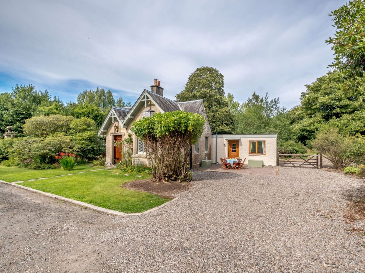
Callander, Central Scotland
Sleeps 6 · 3 beds
from £734 / week
Check dates for Loch Lubnaig Lodge (opens the booking site in a new tab)Checked 8 Oct
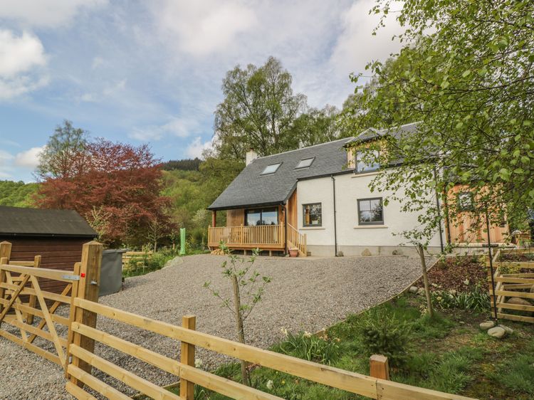
Aberfoyle
Sleeps 2 · 1 bed
from £514 / week
Check dates for The Old School Bike Shed (opens the booking site in a new tab)Checked 9 Oct