Ben Lawers and Beinn Ghlas from the Ben Lawers car park
Near Killin, Scotland
- Distance
- 11 km
- Ascent
- 942 m
- Time
- 5 hr
- Difficulty
- Hard
- Summit
- 1,214 m
- Parking
- Paid
- Dogs
- Yes
Start: Ben Lawers National Nature Reserve car park, on the west side of the hill road above Loch Tay
Grid ref: NN 608377
Ben Lawers is the tenth highest Munro and the highest mountain in the central Highlands; the National Trust for Scotland gives its height as 1,214m, or 3,984ft. That is close enough to 4,000ft that, as the Trust tells it, a cairn was once built on the summit to close the gap. Walkhighlands records that the nineteenth-century cairn has long since gone, and a trig point and view indicator mark the top now. The mountain rises on the north side of Loch Tay, and Killin is one of the two villages, with Kenmore, where the Trust directs visitors to toilets before the hill.
The usual route starts high, at the Trust’s car park two miles up a hill road off the A827, which Walkhighlands says undermines the mountain’s height. The path crosses the road into a fenced exclosure that keeps sheep and deer off the flora, then climbs Beinn Ghlas, a 1,103m Munro that Walkhighlands notes many walkers cross without noticing; only from its summit does Ben Lawers come into view. A grassy ridge drops to the bealach and a last steep pull follows. The stone path is recent: the Trust says the way up Ben Lawers was a scar visible from miles away in 1980, when its footpath work began. On the way down a bypass path rounds the north side of Beinn Ghlas instead of recrossing it.
The Trust bought the mountain in 1950, announcing it in its October newsletter as the richest in Britain for rare alpine plants, and it now runs the ground as a National Nature Reserve. More than 40,000 people climb the most accessible routes every year, by the Trust’s own count, which is why it asks walkers to stay on the path.
Walkhighlands gives 11km, 942m of ascent and four to six hours, with no public transport to the start; the Trust names Crianlarich and Pitlochry as the nearest mainline stations, with connecting buses. It suits a fit walker after a first or second Munro on a path that is hard to lose, and dogs are welcome under close control because livestock graze the hill. Anyone wanting solitude or a short day should go elsewhere, since the Trust counts the crowds and Walkhighlands calls the top very exposed to bad weather. For a single Munro in less ascent, Schiehallion is 10km and 731m on a path rebuilt by the John Muir Trust.
Underfoot
A path throughout, built and repaired in stone by the National Trust for Scotland, steep and zigzagging on Beinn Ghlas and rockier higher up, then a grassy ridge to the summit; the whole route is high and open to the weather.
Stay within reach of the start
Everything here is inside 30 km of Ben Lawers and Beinn Ghlas from the Ben Lawers car park.
Booking links on these earn us a commission. The price you pay is the same either way.
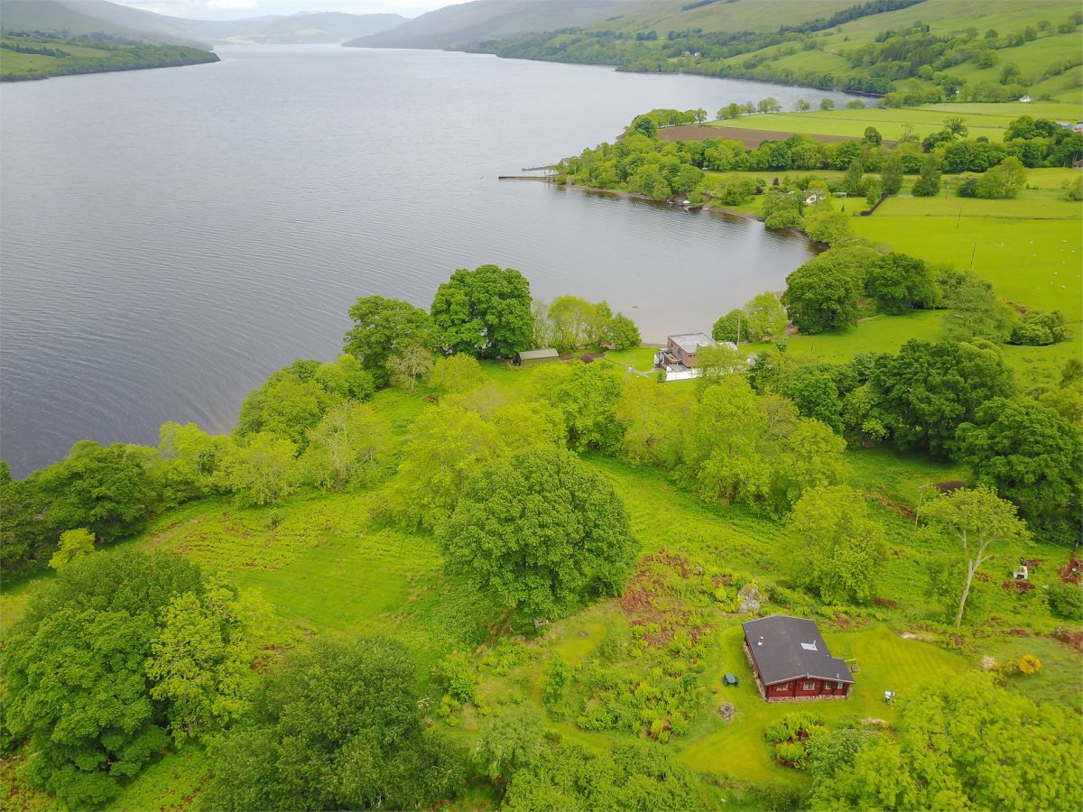
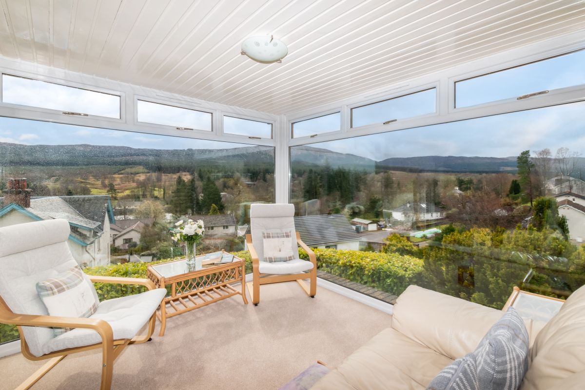

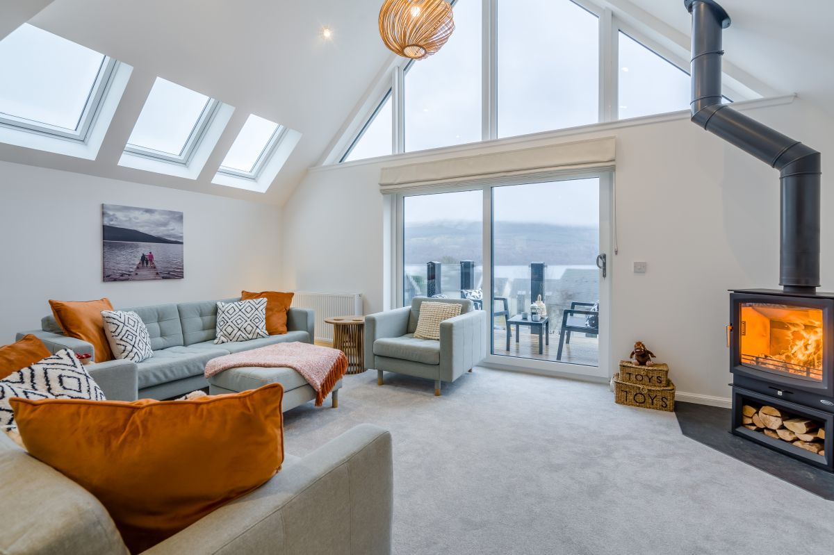
Fearnan, near Aberfeldy, Central Scotland
Schiehallion by Loch Tay
Sleeps 6 · 3 beds
- Wood burner
- No dogs
from £937 / week
Check dates for Schiehallion by Loch Tay (opens the booking site in a new tab)Checked 8 Oct
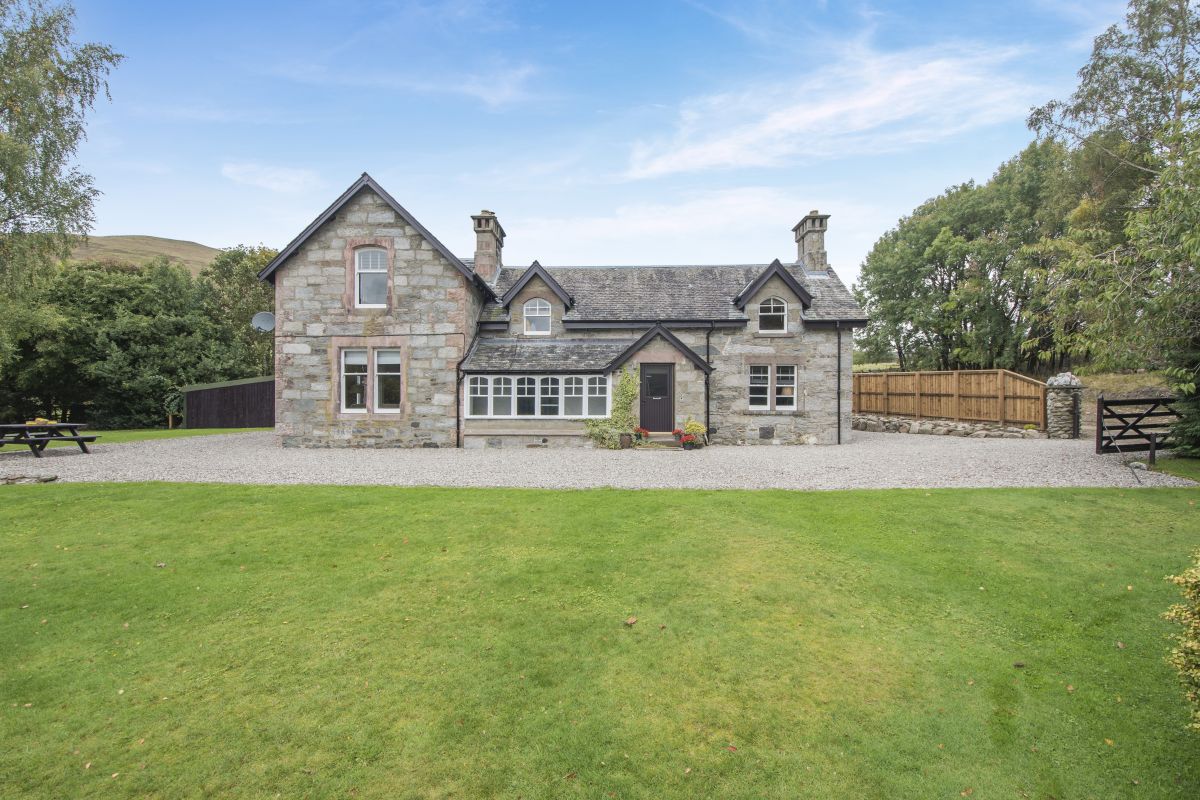
Lochearnhead, Central Scotland
Ardveich House
Sleeps 6 · 3 beds
- Wood burner
- Dogs
from £1,391 / week
Check dates for Ardveich House (opens the booking site in a new tab)Checked 8 Oct

Fearnan, near Aberfeldy, Central Scotland
Old Post Office At Loch Tay
Sleeps 10 · 5 beds
- Hot tub
- Dogs
from £1,304 / week
Check dates for Old Post Office At Loch Tay (opens the booking site in a new tab)Checked 8 Oct

Lochearnhead, Central Scotland
Castleview West
Sleeps 6 · 3 beds
- No dogs
from £808 / week
Check dates for Castleview West (opens the booking site in a new tab)Checked 8 Oct
Distances, ascent and times here are planning figures taken from published sources, not a route description to navigate by. Take a map and check the forecast. We do not publish conditions, because nothing on this page is updated often enough for you to trust it on the day.