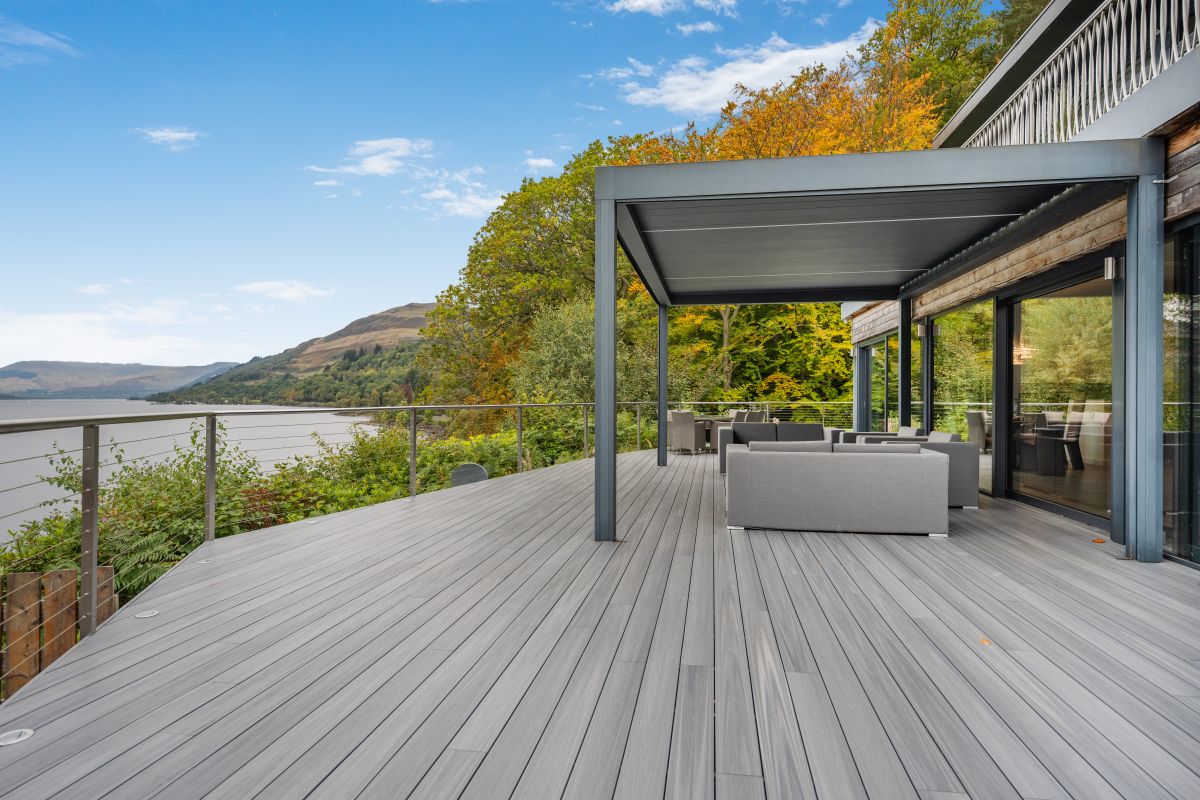
Ben Lawers and Beinn Ghlas from the Ben Lawers car park
The tenth highest Munro, climbed with Beinn Ghlas from a high car park on the National Trust for Scotland's Ben Lawers reserve, in 11km and 942m of ascent.
- 11 km
- 942 m up
- 5 hr
- Hard
Gaelic: Cill Fhinn
At Loch Tay's head, nearest village to the Ben Lawers range.
None; Killin station closed on 1 November 1965. Crianlarich and Pitlochry are the nearest mainline stations, with connecting buses
8
34
Killin is a village of about 740 people at the western head of Loch Tay, inside the Loch Lomond and The Trossachs National Park and administered by Stirling Council, according to Wikipedia. The Falls of Dochart run through the west end of it, crossed by the narrow multi-arched bridge that carries the A827 into the village, and Wikipedia names Meall nan Tarmachan and the Ben Lawers range as its backdrop. The case for sleeping here is distance. The National Trust for Scotland’s car park for Ben Lawers is about 6km north-east of the village in a straight line, against about 27km from Aberfeldy, and the Trust itself sends visitors to the public toilets in Killin or Kenmore before the hill because there are none at the car park. The case against is the map: there is no station, and the walks listed here both start from a car park.
Ben Lawers is a drive. The Trust puts its car park two miles up a hill road off the A827 north of Loch Tay, and Walkhighlands, which gives the round with Beinn Ghlas as 11km and 942m of ascent, lists no public transport to the start. The Trust does describe a pedestrian way up from the A827 beginning about a mile west of the hill road, at NN 614361, but that point is itself some 5km from Killin in a straight line, so a walker from the village covers that distance along the A827 before the path begins.
Ben Vorlich is the other hill in range, and it lies on the far side of Glen Ogle. Its start at Ardvorlich, on the minor road along the south shore of Loch Earn, is about 11km south-east of Killin in a straight line, but the road goes round by the A85 through Glen Ogle, which Wikipedia puts at 7 miles from Lochearnhead to Lix Toll, and Ardvorlich House is about 3km east of Lochearnhead. Walkhighlands lists no public transport to the start, though buses do run to Lochearnhead. The site’s other base for that hill is Callander.
The railway closed on 1 November 1965, per Wikipedia, and the Trust names Crianlarich or Pitlochry as the nearest mainline stations, with some connecting buses. Stirling Council runs the C60 between Callander and Killin through Kilmahog, Strathyre and Lochearnhead, Monday to Saturday, with four return journeys a day on the timetable published by Your Stirling; check it before relying on it, and Traveline Scotland carries the rest. Wikipedia puts the A827 journey from Edinburgh or Glasgow at about 90 minutes. Main Street is the A827, and Stirling Council lists free parking at the car park next to the McLaren Hall.
Nothing on this site’s list for Killin is a child’s walk: Ben Lawers is 942m of ascent and Ben Vorlich 1,145m on the full round. The nearest thing is on the Ben Lawers car park itself. The Trust’s Edramucky Trail runs 1 mile, about 1.6km, in around an hour and a half beside a burn, and the Trust publishes a Caterpillar Trail version for younger visitors; the 0.9-mile Morenish Woodland Trail takes 45 minutes and passes a waterfall. Both start from the Ben Lawers car park, according to the Trust, and neither goes near a summit. In the village, Stirling Council’s Breadalbane Park has a children’s play area suitable for all ages, off Main Street.
Stirling Council lists free parking at the car park next to the McLaren Hall, beside Breadalbane Park off Main Street; the National Trust for Scotland's Ben Lawers car park is a pay car park that does not take coaches or large campervans.
The A827 carries the main road into Killin over the Falls of Dochart bridge from the south and west, and continues east along the north shore of Loch Tay; the hill road to the Ben Lawers car park leaves it on that stretch.
The tenth highest Munro, climbed with Beinn Ghlas from a high car park on the National Trust for Scotland's Ben Lawers reserve, in 11km and 942m of ascent.
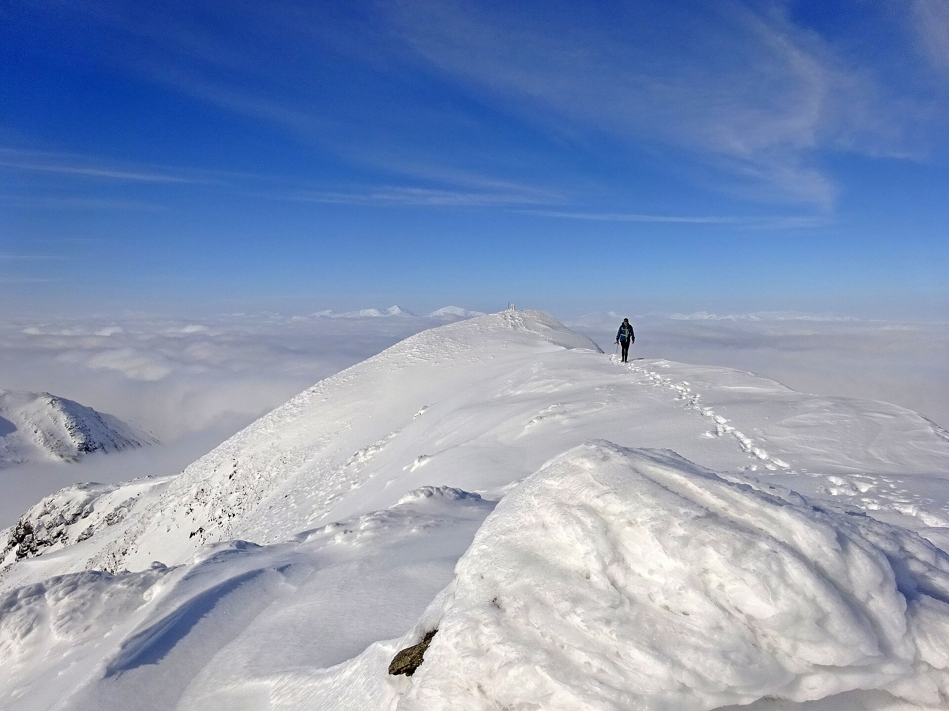
A Munro above Loch Earn's south shore, climbed from Ardvorlich by the Sgiath nam Tarmachan ridge, with an optional scramble on to Stùc a' Chròin.
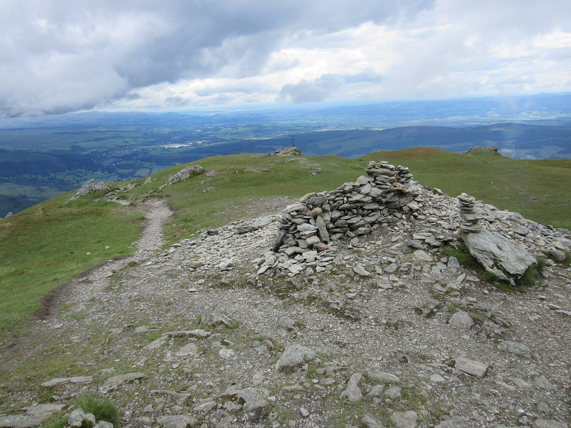
The Trossachs' most prominent summit above Callander, climbed on a constructed path with a rougher return through Stank Glen.
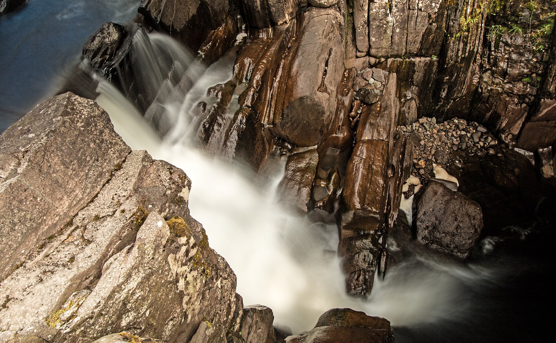
A short, easy woodland walk from Callander to a series of falls on the Keltie Water, crossed by a footbridge above a rocky gorge.
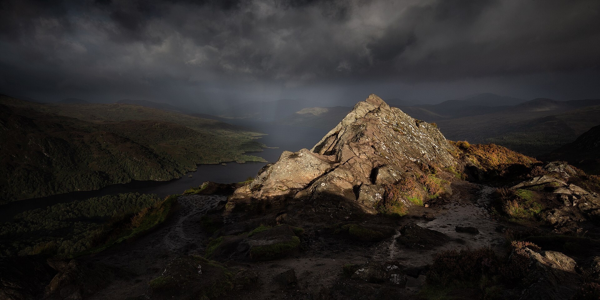
A short, steep hill above Loch Achray, known locally as the Trossachs' mountain in miniature, with a summit view out of proportion to its height.
The cone of Perthshire, a 1,083m Munro climbed from Braes of Foss on a John Muir Trust path, ending on pathless quartzite boulders.
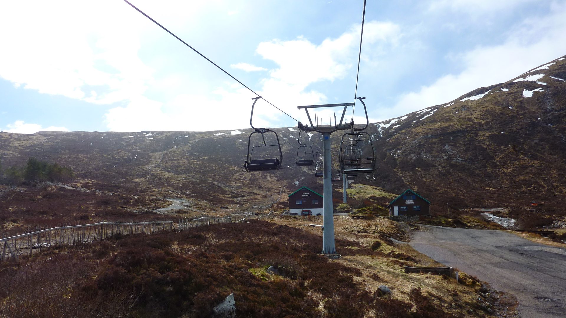
A chairlift-served bike park and summer activity centre at the head of Glen Coe, with cross-country and downhill mountain bike trails.
Booking links on these earn us a commission. The price you pay is the same either way.
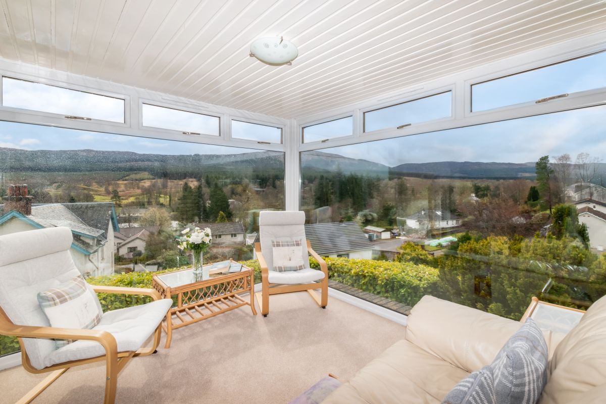
Lochearnhead, Central Scotland
Sleeps 6 · 3 beds
from £808 / week
Check dates for Castleview West (opens the booking site in a new tab)Checked 8 Oct
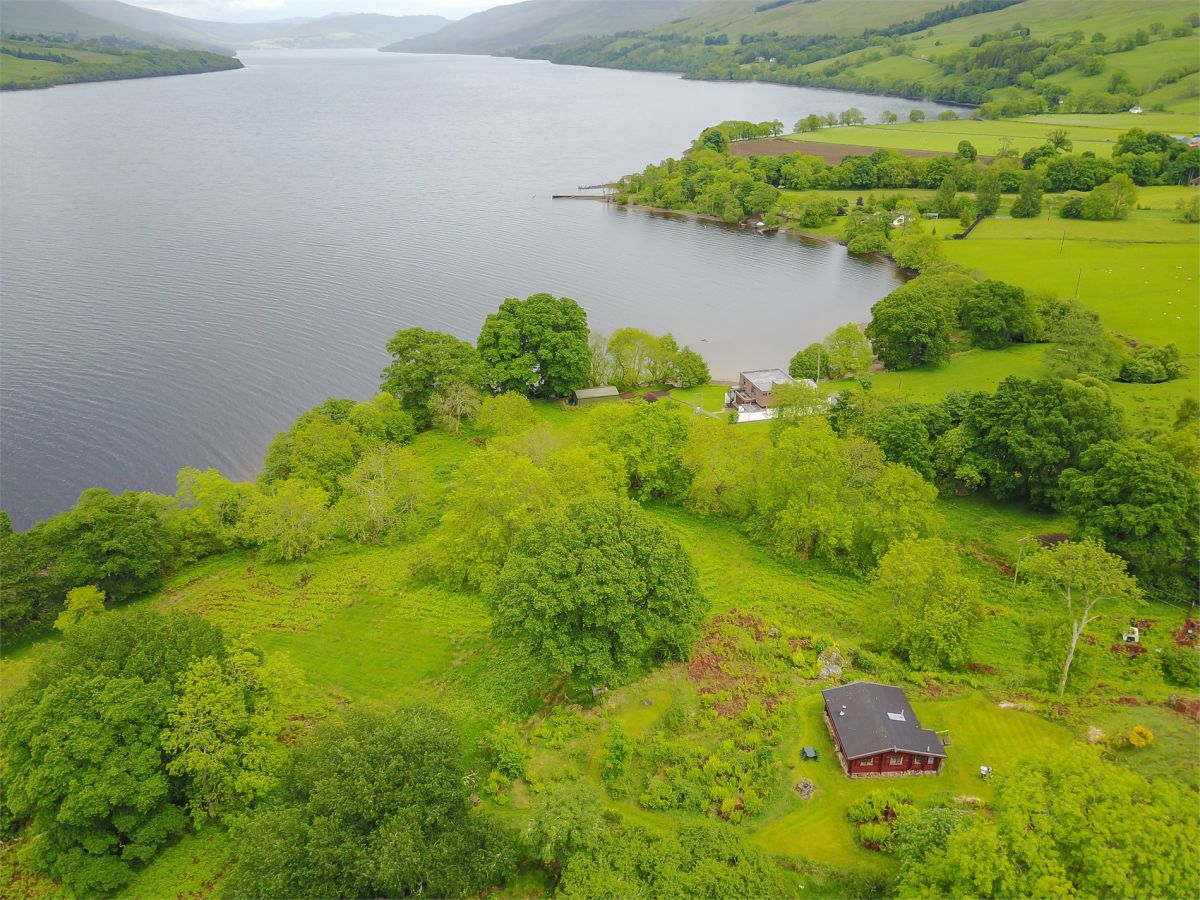
Lochearnhead, Central Scotland
Sleeps 6 · 3 beds
from £1,391 / week
Check dates for Ardveich House (opens the booking site in a new tab)Checked 8 Oct
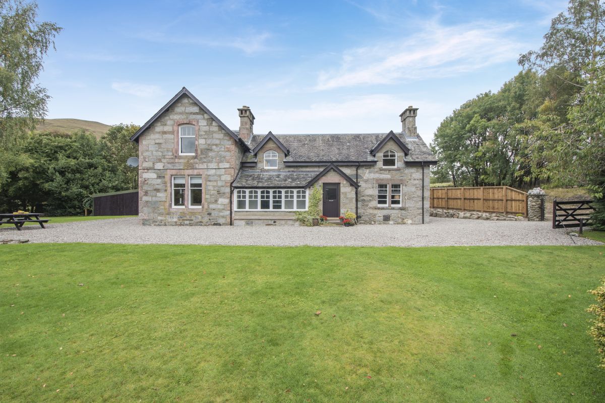
St Fillans, near Crieff, Central Scotland
Sleeps 2 · 1 bed
from £1,158 / week
Check dates for Loch Earn Milestone Lodge (opens the booking site in a new tab)Checked 7 Oct
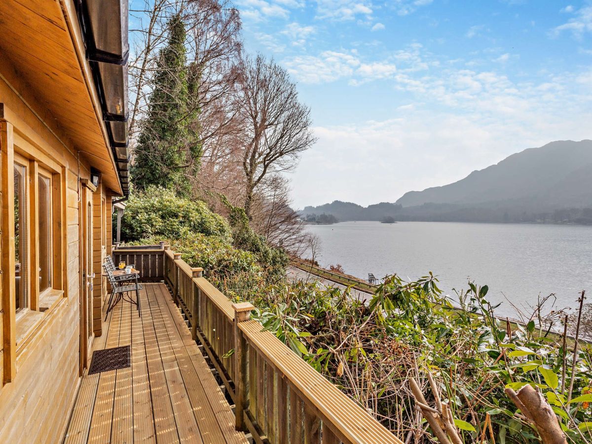
St Fillans, near Crieff, Central Scotland
Sleeps 2 · 1 bed
from £973 / week
Check dates for Loch Earn Milestone Cabin (opens the booking site in a new tab)Checked 7 Oct