Ben Chonzie from Glen Lednock
Near Comrie, Scotland
- Distance
- 12.5 km
- Ascent
- 712 m
- Time
- 4 hr 30 min
- Difficulty
- Moderate
- Summit
- 931 m
- Shape
- There and back
- Dogs
- Yes: on a lead for grouse, sheep and mountain hares, Scottish Adventures says
Start: Parking area opposite the old school at Coishavachan, Glen Lednock, not the signed Old School 900m before it
Grid ref: NN 743273
Who this suits, and who it does not
227 places to stay within 30 km, from £293 a week See themBen Chonzie, Beinn a’ Chomhainn, the mountain of the narrowness or possibly the mossy mountain in Wikipedia’s gloss, is a Munro of 931m and the highest point of the heather moorland between Loch Earn and Loch Tay. Wikipedia adds that, with its broad, flat summit and few distinguishing features, it is often regarded as one of Scotland’s least interesting Munros. Walkhighlands places it on the moors north of Crieff and says its finest side faces east above Glen Turret, but that it is climbed more often, and faster, from the west, up Glen Lednock from Comrie, which has the nearest bus.
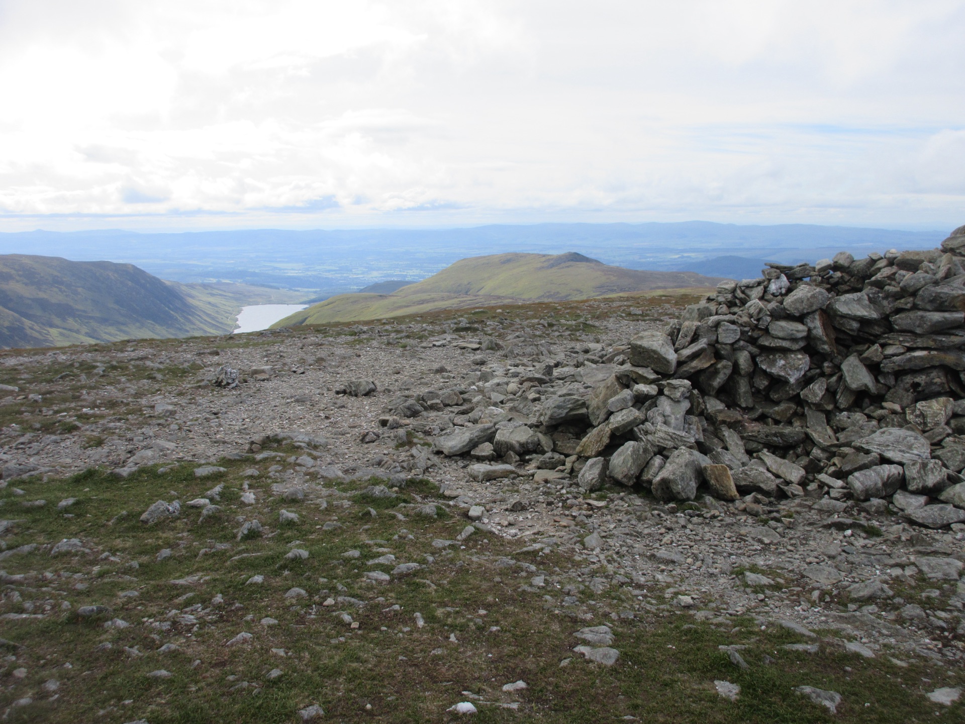
Walkhighlands starts at the parking area opposite the old school at Coishavachan, not the signed Old School 900m short of it, and follows a track over a bridge and past the small dam on the Invergeldie Burn. Where the track bends sharply right before a crest, a small cairn marks a path to the left, boggy at first, that climbs the broad ridge of heather and blaeberry to a line of old metal fence posts. They lead to the summit and the large shelter just beyond it, with good views down Loch Turret. The way back is the same path, and Walkhighlands warns that finding the bulldozed track again from the fence line takes care.
The south and west slopes belong to Invergeldie Estate, whose entry in Heading for the Scottish Hills says deer management takes place throughout the year and hill users are welcome. Oxygen Conservation, which bought the estate in November 2022, plans 36km of deer fencing across the estate for native woodland, with 28 new gates it says keep access open, so the fences on the ground may differ from Walkhighlands’ description.
Walkhighlands gives 12.5km and 712m of ascent in four to five hours, on Ordnance Survey’s Explorer OL47. It suits a first Munro or a long half day, and Scottish Adventures counts it a good hill for dogs, on a lead for the grouse, sheep and hares. Anyone who wants a ridge or a summit with some shape will find it dull, and the featureless top is a poor place to learn navigation in mist. For both, Ben Vorlich above Loch Earn is the better day: a path all the way up the Sgiath nam Tarmachan ridge to the trig point, 14.5km and 1,145m with Stùc a’ Chròin on Walkhighlands’ figures.
Underfoot
A track past the small dam on the Invergeldie Burn, then a moorland path over heather and blaeberry, boggy at first and indistinct in places, following old metal fence posts to the summit. Careful navigation is needed to regain the track on the way down.
Stay within reach of the start

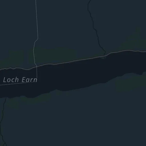
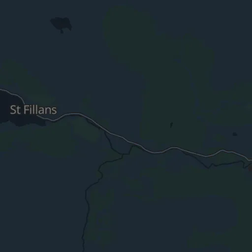
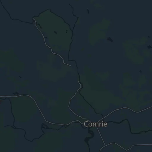
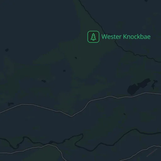
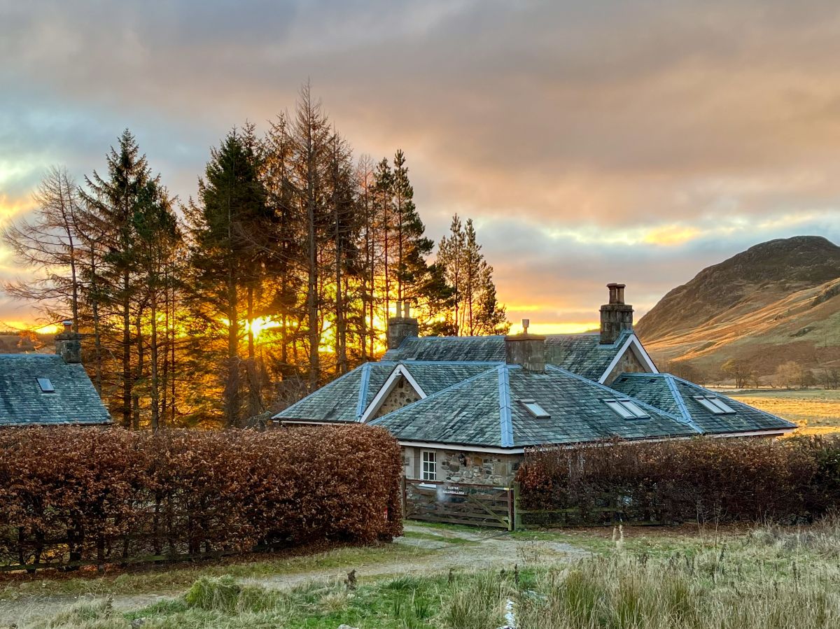
Comrie, Central Scotland
Easter Ballindalloch
Sleeps 6 · 3 beds
Under 1km from the start of this walk
- Wood burner
- Dogs
from £968 / week
Checked 1 Nov
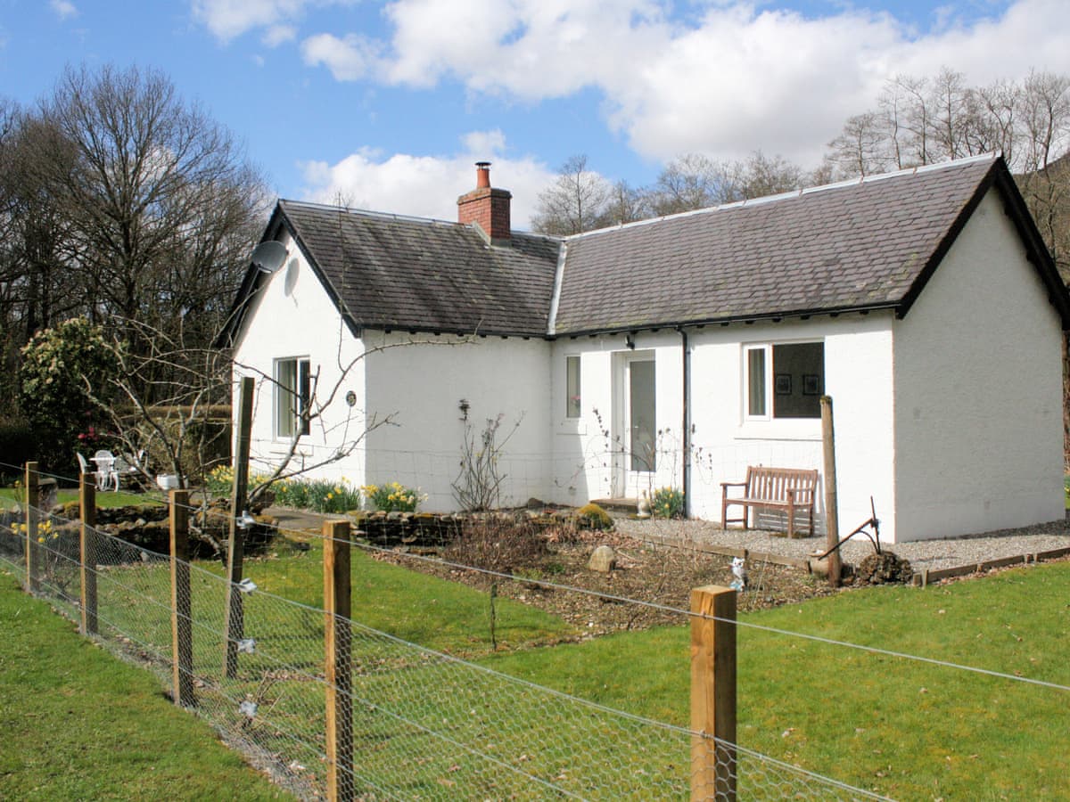
St Fillans
Riversdale
Sleeps 3 · 2 beds
5.1km from the start of this walk
- Dogs
from £687 / week
Checked 1 Nov
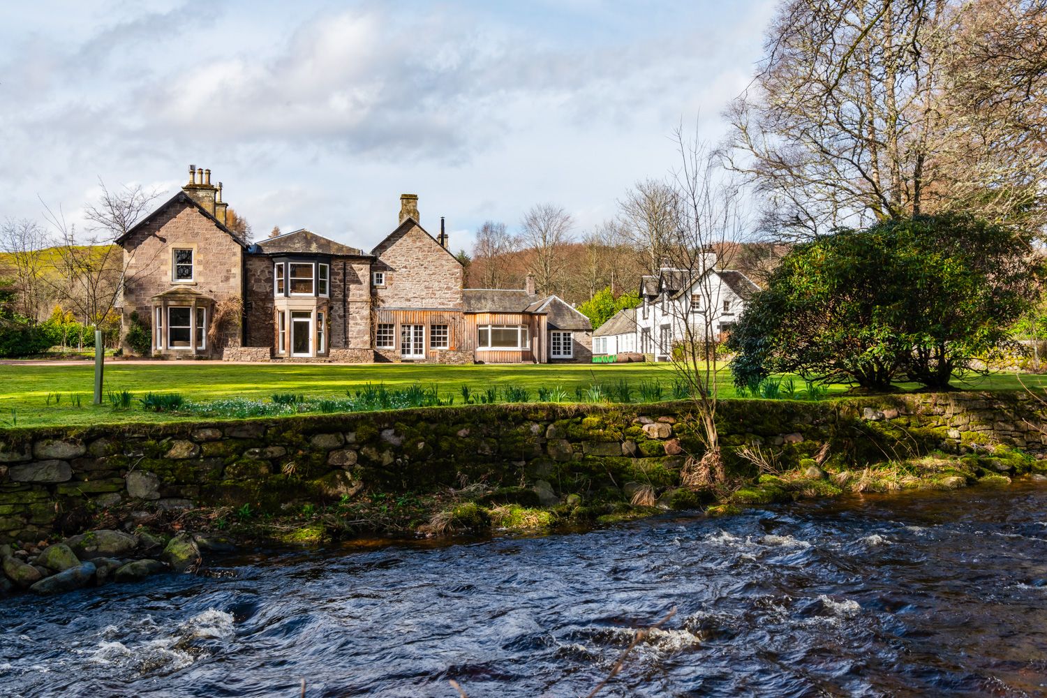

Dunira, near Comrie, Central Scotland
Stables Cottage
Sleeps 2 · 1 bed
3.7km from the start of this walk
- Wood burner
- Dogs
from £789 / week
Checked 1 Nov
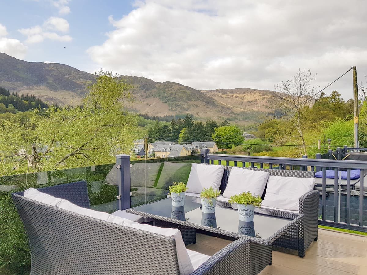
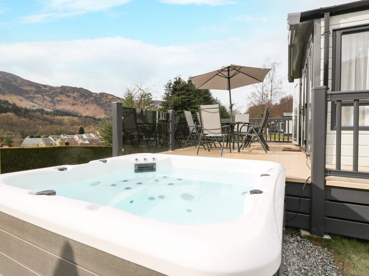
St Fillans
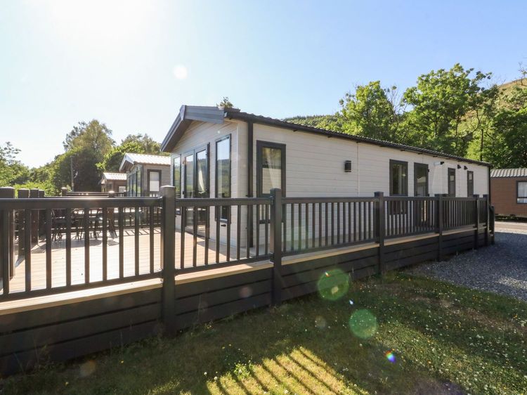
Ben Vorlich Lodge
Sleeps 4 · 2 beds
5.3km from the start of this walk
- Hot tub
- No dogs
from £957 / week
Checked 1 Nov
Perthshire
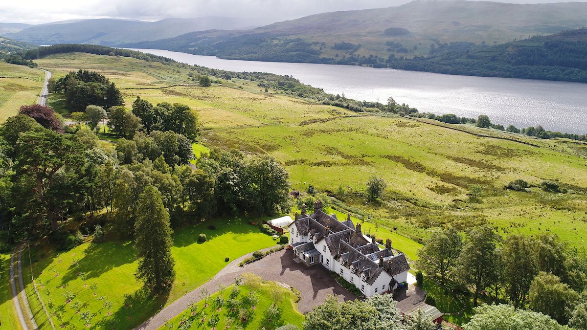
Loch Tay Manor
Sleeps 29 · 13 beds
16.6km from the start of this walk
- Hot tub
- Dogs
Checked 24 Oct
Distances, ascent and times here are planning figures taken from published sources, not a route description to navigate by. Take a map and check the forecast.