Schiehallion from Braes of Foss
Near Aberfeldy, Scotland
- Distance
- 10 km
- Ascent
- 731 m
- Time
- 5 hr
- Difficulty
- Hard
- Summit
- 1,083 m
- Shape
- There and back
- Parking
- Paid
Start: Braes of Foss car park on the Schiehallion road, with an overspill car park 0.5km further east
Grid ref: NN 753556
Schiehallion is the Munro that Wikipedia describes as a prominent cone-shaped mountain, about 10 miles west-north-west of Aberfeldy, and gives at 1,083m from the Database of British and Irish Hills. The John Muir Trust translates the Gaelic name, Sìth Chailleann, as the Fairy Hill of the Caledonians. Its place in the history of mapping is better documented than its folklore: in 1774 the Astronomer Royal, Nevil Maskelyne, used the mountain to weigh the Earth, measuring how far its mass pulled a pendulum off the vertical, and the mathematician Charles Hutton drew lines joining survey points of equal height to calculate its volume, which Walkhighlands and the Trust both identify as the origin of contour lines. The Trust says stone ruins of the observation stations remain on the north and south slopes.
The east side has belonged to the John Muir Trust since 1999. Walkhighlands records that the original path ran straight up the flank from the car park and became a quagmire and a visible scar; the Trust built the current path on a line looping slightly further south and repaired the old one, which is why Walkhighlands asks walkers not to shortcut down it. The route starts at the far end of the Braes of Foss car park, beside a memorial to the experiment, and passes a gate and a footbridge, then planted native oaks. Above the woods the path winds up stone steps onto the broad east ridge and follows its right edge past a large cairn. There the path gives out and quartzite boulders take over; Walkhighlands warns that the true summit lies further along the ridge than it first appears, and that in clear weather it cannot be mistaken.
Walkhighlands gives the round as 10km with 731m of ascent in four to six hours, returning the same way, with no public transport to the start. Walkers after a first Munro are the people it suits, since the path is well built for most of the way. Anyone uneasy on loose boulders should look elsewhere, because the last stretch has no path to follow, and a day with cloud on the ridge is the wrong one for it. Ben Vrackie is the smaller hill, 842m against 1,083m, with a made path to the top; for the foot of Schiehallion alone, the Trust’s 1km Braes of Foss Loop is an all-abilities path from the same car park.
Underfoot
A built path with many stone steps winds up through planted woodland and onto the broad east ridge; the final section to the summit is pathless, across awkward quartzite boulders.
Stay within reach of the start
Everything here is inside 30 km of Schiehallion from Braes of Foss.
Booking links on these earn us a commission. The price you pay is the same either way.
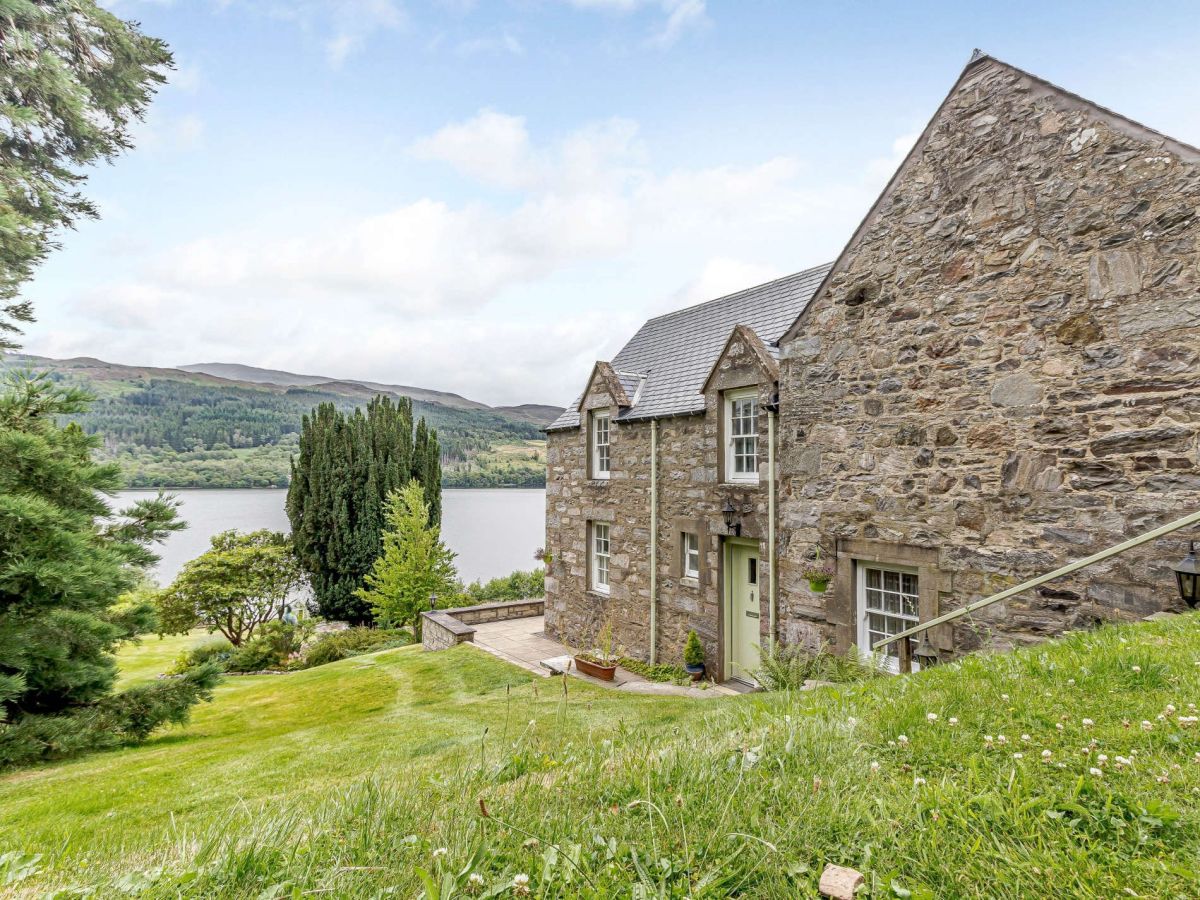
Strathtummel, near Pitlochry, Central Scotland
Port An Eilean Cottage
Sleeps 8 · 4 beds
- Wood burner
- Dogs
from £1,726 / week
Check dates for Port An Eilean Cottage (opens the booking site in a new tab)Checked 8 Oct
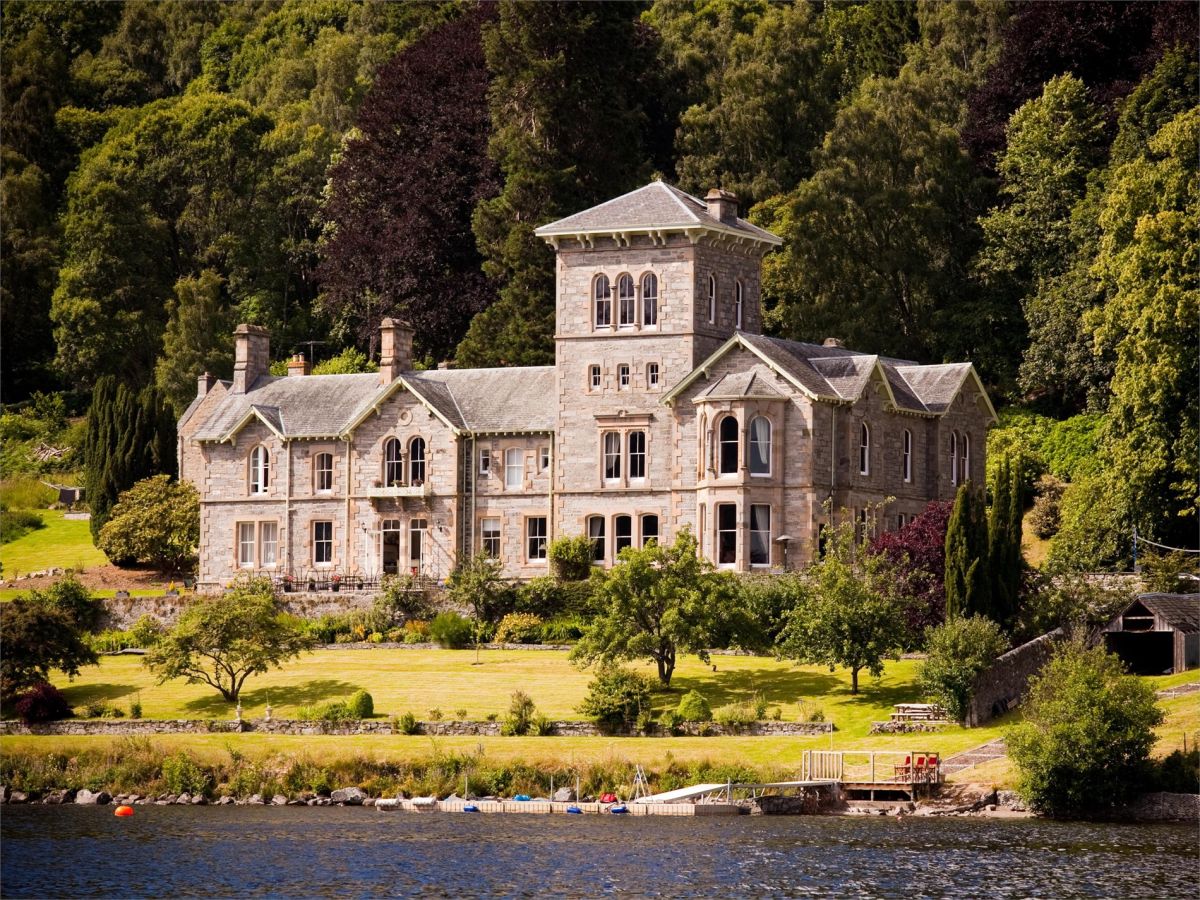
Strathtummel, near Pitlochry, Central Scotland
Port An Eilean
Sleeps 25 · 10 beds
- Dogs
from £15,099 / week
Check dates for Port An Eilean (opens the booking site in a new tab)Checked 8 Oct
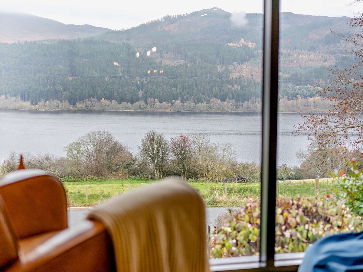
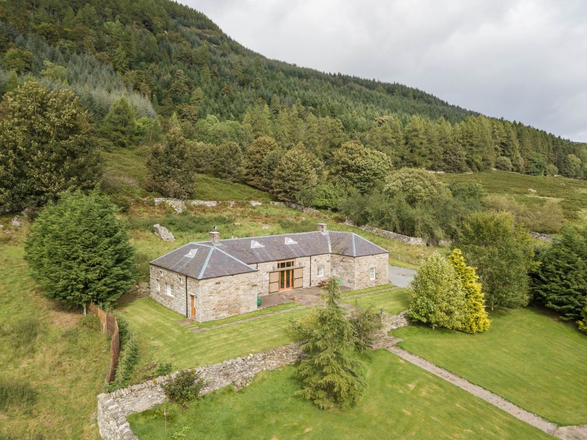
Dull, near Aberfeldy, Central Scotland
Farleyer Steading
Sleeps 4 · 2 beds
- Dogs
from £917 / week
Check dates for Farleyer Steading (opens the booking site in a new tab)Checked 8 Oct

Dull, near Aberfeldy, Central Scotland
The Old Manse At Farleyer
Sleeps 10 · 5 beds
- Wood burner
- Drying room
- Dogs
from £1,863 / week
Check dates for The Old Manse At Farleyer (opens the booking site in a new tab)Checked 8 Oct

Dull, near Aberfeldy, Central Scotland
The Old Manse At Farleyer And Steading
Sleeps 14 · 7 beds
- Dogs
from £2,663 / week
Check dates for The Old Manse At Farleyer And Steading (opens the booking site in a new tab)Checked 8 Oct
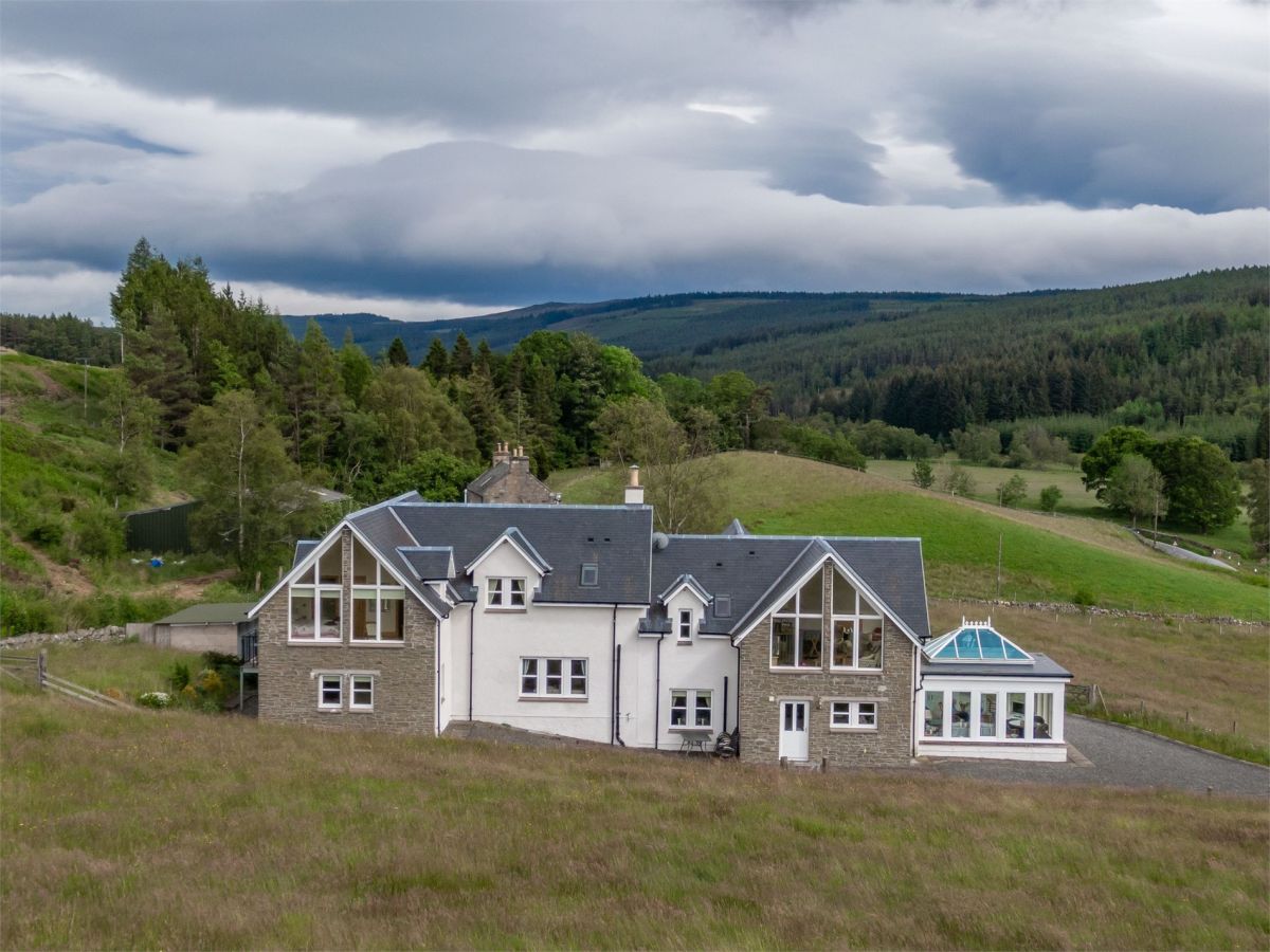
Calvine, near Blair Atholl, Central Scotland
Pine Forest Lodge
Sleeps 10 · 5 beds
- No dogs
from £1,360 / week
Check dates for Pine Forest Lodge (opens the booking site in a new tab)Checked 8 Oct

Camserney, near Aberfeldy, Central Scotland
Burnside Cottage
Sleeps 6 · 3 beds
- Wood burner
- Dogs
from £945 / week
Check dates for Burnside Cottage (opens the booking site in a new tab)Checked 8 Oct
Distances, ascent and times here are planning figures taken from published sources, not a route description to navigate by. Take a map and check the forecast. We do not publish conditions, because nothing on this page is updated often enough for you to trust it on the day.