Ben Vrackie from Moulin
Near Pitlochry, Scotland
- Distance
- 10.2 km
- Ascent
- 780 m
- Time
- 4 hr
- Difficulty
- Hard
- Summit
- 842 m
- Shape
- Circular
Start: Ben Vrackie car park on the lane north-west of Moulin, with a second car park 250m further up
Grid ref: NN 943595
Ben Vrackie stands 5km north of Pitlochry, and at 842m, the height Wikipedia takes from the Database of British and Irish Hills, it is a Corbett rather than a Munro. What separates it from other hills of that height is the rock. NatureScot’s citation for the Ben Vrackie Site of Special Scientific Interest, first notified in 1955, describes lime-rich schist, limestone and igneous rock, part of a band of calcareous Dalradian schist across the southern Grampians that it counts among the richest montane botanical sites in Britain, and it names purple oxytropis and alpine milk-vetch, each found on only one or two Scottish hills, among the plants on the crags.
The route Walkhighlands describes leaves the Ben Vrackie car park on the lane north-west of Moulin, reached by turning left off the A924 immediately behind the Moulin Hotel; a second car park lies 250m further up. A marked path climbs through beech trees, crosses two footbridges and runs on over heather moorland to Loch a’ Choire. It crosses the loch’s earth dam and then the outlet burn on stepping stones, and beyond that Walkhighlands calls the climb steep, with many rough stone steps, swinging left at about 750m for the last pull. Wikipedia records a trig point and a toposcope on the summit, and Walkhighlands names the three tops of Beinn a’ Ghlò among the hills in view, with the Cairngorms beyond.
The same path leads back down, and Walkhighlands offers a variation just before the loch outlet: a narrower path round the shore, boggy in places towards its far end, which rejoins the outward route through the Bealach na Searmoin. Walkhighlands gives the round as 10.2km with 780m of ascent in three and a half to four and a half hours, and says it can be walked from Pitlochry itself.
Ben Vrackie suits a walker who wants a proper hill on a made path from the edge of a town. It is not a hill for anyone who tires on steps, because the last section is a continuous stone staircase and the descent is as long as the climb. For a lower walk with a gorge and falls instead of a summit, the Birks of Aberfeldy is the nearer alternative, and Schiehallion is the bigger hill for a walker who finds Ben Vrackie too short.
Underfoot
A made path through beech woodland and across heather moorland to Loch a' Choire, then a steep climb on rough stone steps to the summit; the optional return along the loch shore can be boggy towards its far end.
Stay within reach of the start
Everything here is inside 30 km of Ben Vrackie from Moulin.
Booking links on these earn us a commission. The price you pay is the same either way.
Pitlochry, Central Scotland
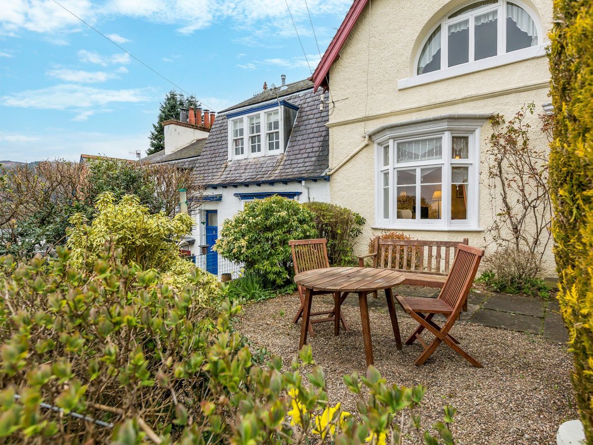
4 Viewbank Gardens
Sleeps 3 · 2 beds
- Wood burner
- Dogs
from £462 / week
Check dates for 4 Viewbank Gardens (opens the booking site in a new tab)Checked 7 Oct
Pitlochry, Central Scotland
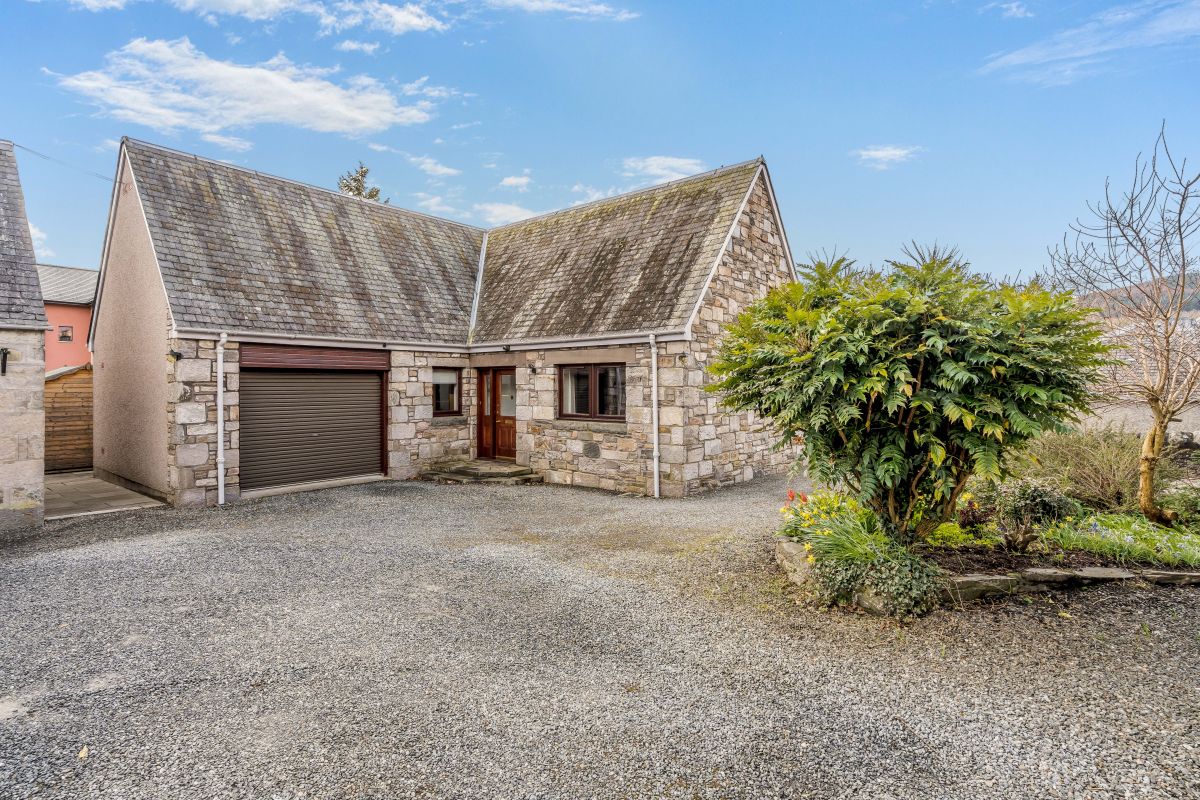
The Nook - Pitlochry
Sleeps 6 · 3 beds
- Dogs
from £1,021 / week
Check dates for The Nook - Pitlochry (opens the booking site in a new tab)Checked 8 Oct

Pitlochry, Central Scotland
Lower Oakfield
Sleeps 10 · 5 beds
- No dogs
from £1,766 / week
Check dates for Lower Oakfield (opens the booking site in a new tab)Checked 8 Oct

Pitlochry, Central Scotland
The Whisky Room
Sleeps 2 · 1 bed
- Hot tub
- Wood burner
- Dogs
from £636 / week
Check dates for The Whisky Room (opens the booking site in a new tab)Checked 7 Oct
Strathtay, near Aberfeldy, Central Scotland
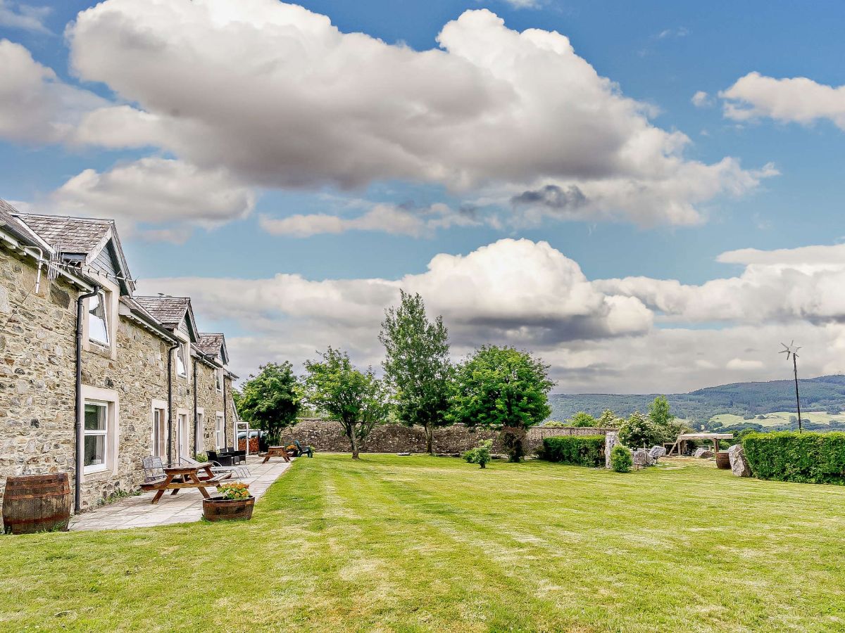
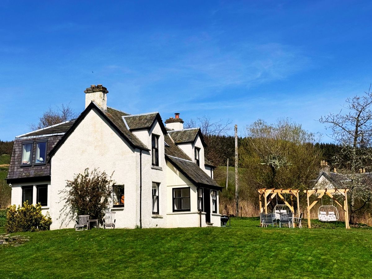
Milton of Tullypowrie Cottage
Sleeps 8 · 4 beds
- Wood burner
- Dogs
from £1,105 / week
Check dates for Milton of Tullypowrie Cottage (opens the booking site in a new tab)Checked 8 Oct


Blair Atholl, near Pitlochry, Central Scotland
Tulach Glenfender
Sleeps 4 · 2 beds
- Wood burner
- Dogs
from £668 / week
Check dates for Tulach Glenfender (opens the booking site in a new tab)Checked 7 Oct
Distances, ascent and times here are planning figures taken from published sources, not a route description to navigate by. Take a map and check the forecast. We do not publish conditions, because nothing on this page is updated often enough for you to trust it on the day.