Ben Nevis by the Mountain Track
Near Fort William, Scotland
- Distance
- 17 km
- Ascent
- 1,352 m
- Time
- 8 hr
- Difficulty
- Hard
- Summit
- 1,345 m
- Shape
- There and back
- Parking
- Paid
- Dogs
- Not suitable: may not be safe with a dog, 10Adventures advises
Start: Glen Nevis Visitor Centre
Grid ref: NN 122730
The Mountain Track, still widely called the Pony Track or Tourist Path, is the route most of the well over 100,000 people who climb Ben Nevis each year use. It starts at the Glen Nevis Visitor Centre car park, where a charge applies; a footbridge over the River Nevis leads to the original path from Achintee on the east side of the glen. From there it climbs steadily on a well-built path to Lochan Meall an t-Suidhe at 570m, then swings south to tackle the mountain’s western flank in a long series of stony zigzags, gaining the final 700m or so of height to the summit plateau at 1,345m.
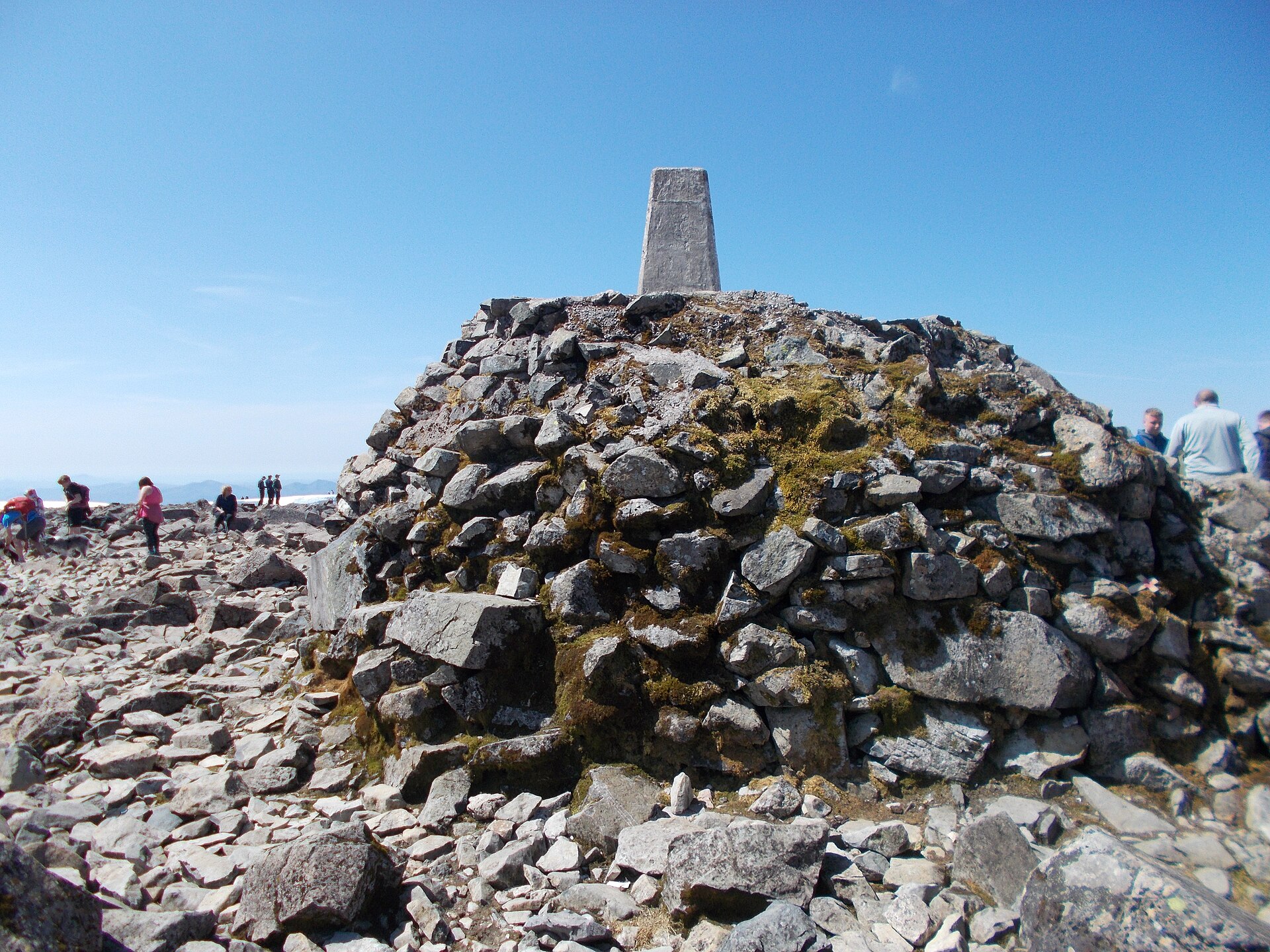
None of it is technical. There is no scrambling on the standard route, and in clear summer conditions the path is obvious for its length. What makes Ben Nevis hard is scale: 1,352m of ascent over 17km there and back, by Walkhighlands’ count, on ground that turns to loose rubble higher up, with a summit plateau that holds snow long into the year and can be in cloud when the glen below is in sunshine. An Ordnance Survey trig point and the ruins of a Victorian observatory mark the top, close to cliffs on the north side that are unfenced and, in poor visibility, genuinely dangerous; on the way down in cloud the danger is Five Finger Gully, which Walkhighlands names as the scene of many fatalities in descent and gives the compass bearings to avoid.
Allow a full day. Walkhighlands allows 7 to 9 hours for the round trip at a steady pace, and starting early matters, both for daylight and for the crowds that build through late morning in summer. This is not a walk for young children, anyone without hillwalking experience, or anyone hoping for a short outing: it is a proper mountain day on Britain’s highest ground, and the summit weather can differ completely from the glen’s. For Glen Nevis scenery on an afternoon rather than a day, the walk through the gorge to Steall Falls starts from the same road and asks up to two hours.
Underfoot
Constructed path to Lochan Meall an t-Suidhe, then loose stone zigzags up the mountain's western flank to the summit plateau.
Stay within reach of the start
Booking through these links earns a commission. The price is the same.
Fort William
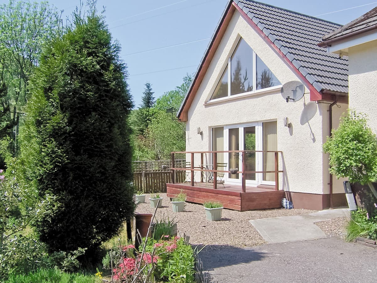
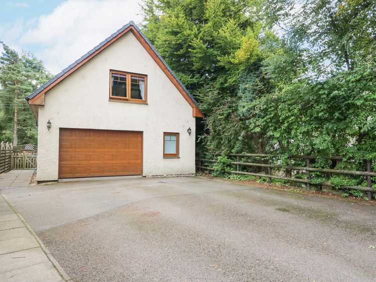
Glenmhor Apartment
Sleeps 2 · 1 bed
- No dogs
from £666 / week
Check dates for Glenmhor Apartment (opens the booking site in a new tab)Checked 9 Oct
Torlundy, near Fort William, Northern Scotland
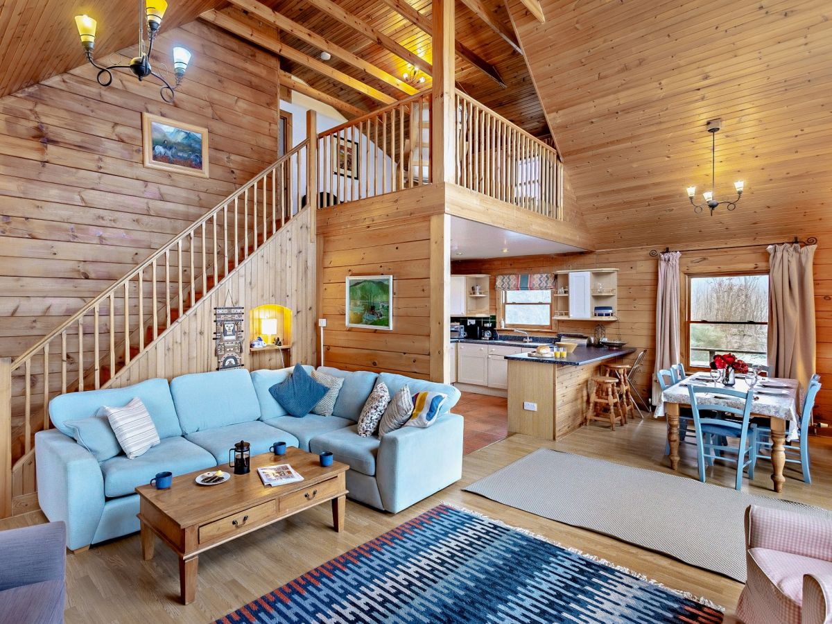
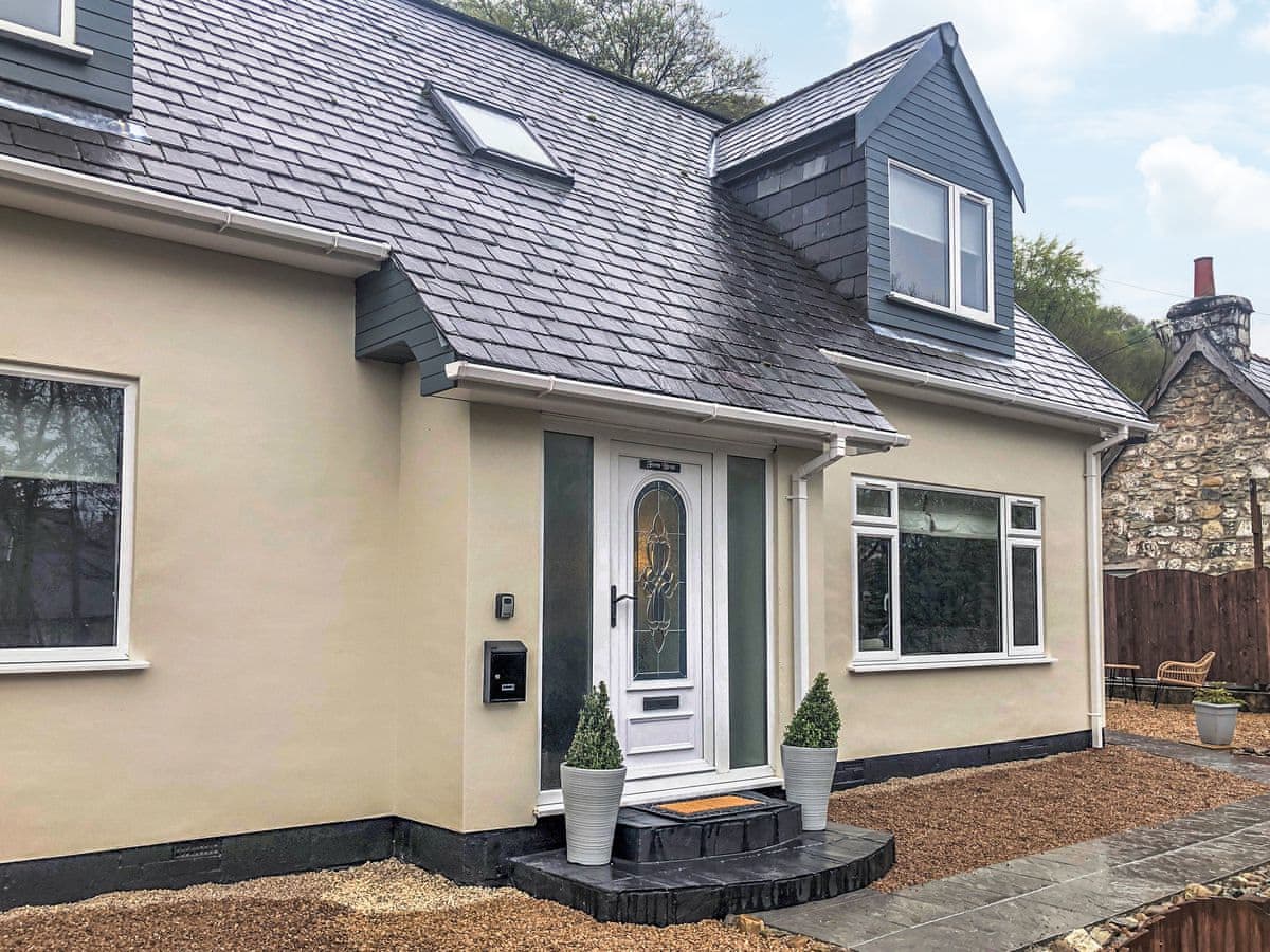
Torlundy Farm Lodge
Sleeps 6 · 3 beds
- Wood burner
- Dogs
from £1,158 / week
Check dates for Torlundy Farm Lodge (opens the booking site in a new tab)Checked 5 Oct
Banavie near Corpach
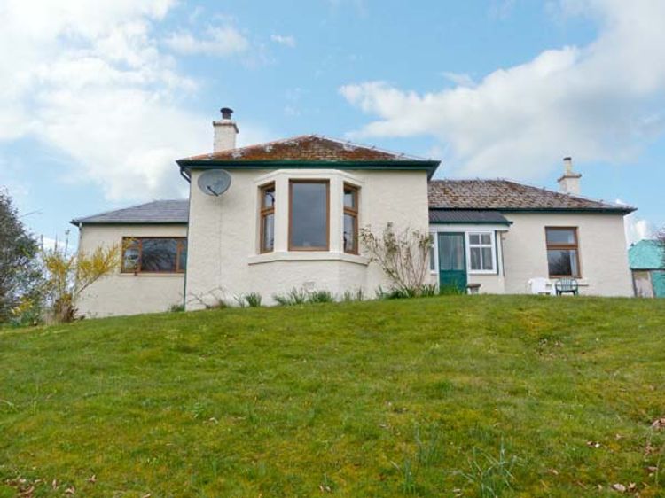
Laxdale Cottage
Sleeps 4 · 2 beds
- Wood burner
- No dogs
from £653 / week
Check dates for Laxdale Cottage (opens the booking site in a new tab)Checked 9 Oct
Torlundy, near Fort William, Northern Scotland
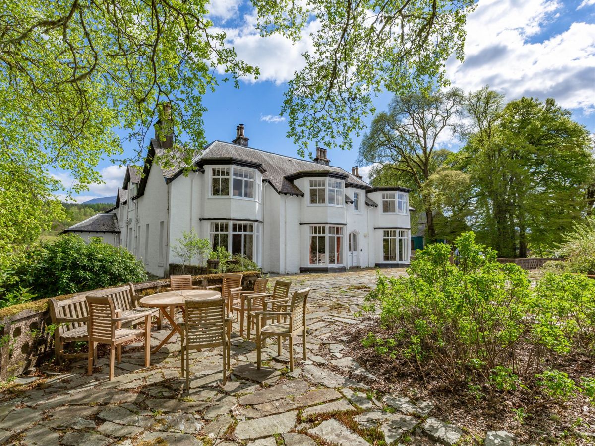
Camisky Lodge
Sleeps 14 · 7 beds
- Dogs
from £2,511 / week
Check dates for Camisky Lodge (opens the booking site in a new tab)Checked 5 Oct
Distances, ascent and times here are planning figures taken from published sources, not a route description to navigate by. Take a map and check the forecast.