Steall Falls and the Nevis Gorge
Near Fort William, Scotland
- Distance
- 3.5 km
- Ascent
- 220 m
- Time
- 2 hr
- Difficulty
- Moderate
- Shape
- There and back
- Parking
- Paid
- Dogs
- Yes: kept close beside the steep drops, 10Adventures says
Start: Car park at the very end of the Glen Nevis road
Grid ref: NN 168691
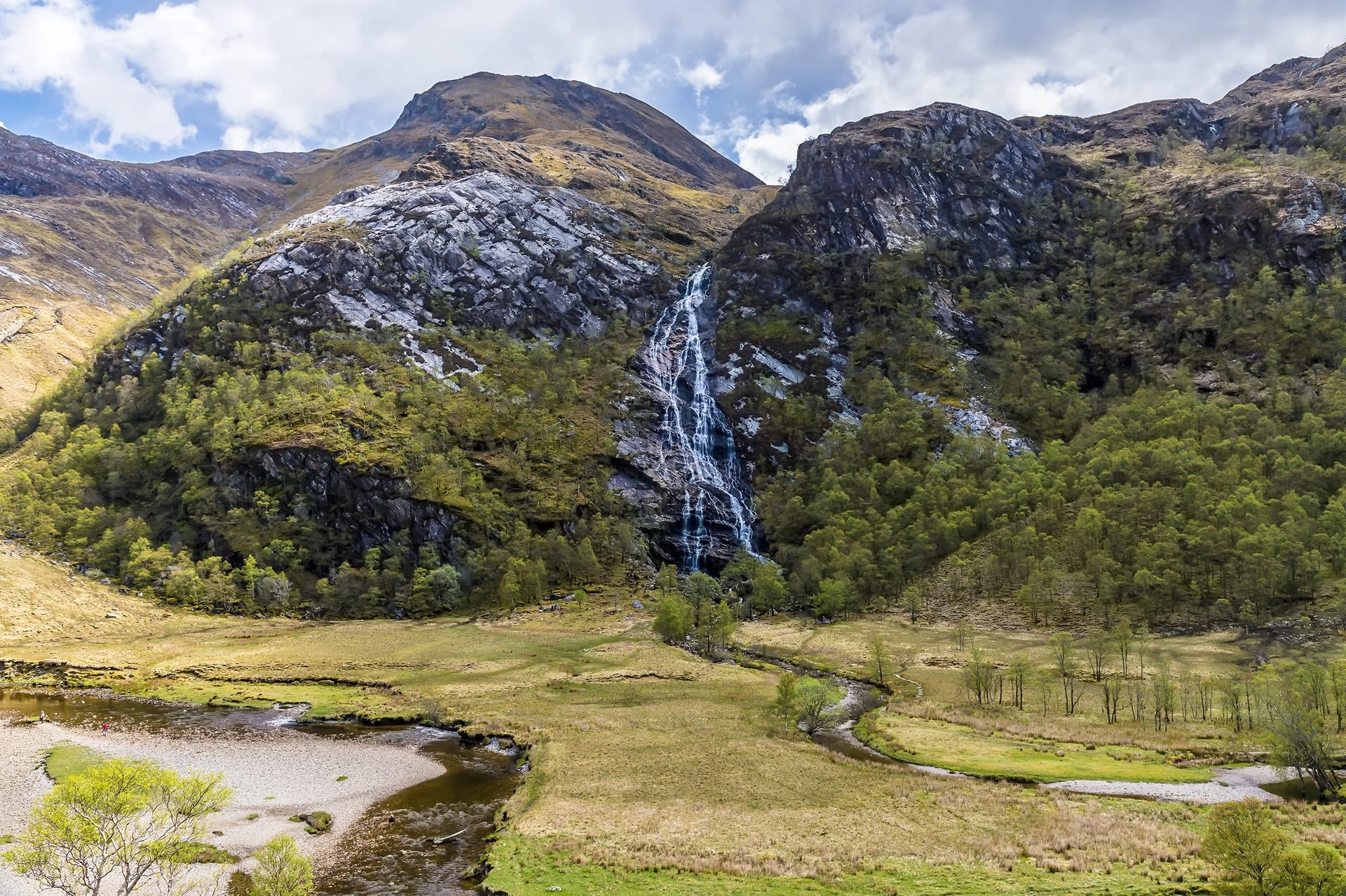
The road up Glen Nevis ends at a car park below Ben Nevis’s southern flank, and from there a path threads into the Nevis Gorge, a narrow defile where the River Nevis drops fast over bedrock between steep, wooded sides. The path is rougher than the scenery might suggest: it is a mountain path, rocky and uneven, with sections close enough to the drop into the river that this is not a walk for anyone unsteady on their feet or minding small children closely. After about 1.5km the gorge opens suddenly into a flat, hanging meadow, with Steall Falls, which Walkhighlands puts at 105m and Wikipedia at a drop of 120m, falling from the Mamores on the far side.
A three-cable wire bridge crosses the river: two cables for hands, one for feet. Walkhighlands calls it the notorious wire-bridge, to be crossed by the brave with great care, and it is not necessary to reach a good view of the falls, which are visible from the near bank without crossing anything.
The gorge and the meadow beyond it belong to the John Muir Trust, whose Ben Nevis estate runs to 1,761 hectares and takes in the summits of Ben Nevis, Càrn Mòr Dearg and Aonach Beag. This is a short walk by the standards of the surrounding mountains, an hour and a half to two hours there and back with 220m of ascent. It suits anyone based in Fort William who wants scenery without a full mountain day, though the gorge path, being narrow, rocky and occasionally exposed to the drop below, rules it out for pushchairs and for anyone who struggles on rough, uneven ground. Those who need a level surface should take the Glencoe Lochan trails instead, a firm 1.6km gravel loop in Glencoe with benches along it.
Underfoot
Rocky, uneven path clinging to the side of a narrow gorge, with drops to the river below in places; opens into flat meadow near the falls.
Stay within reach of the start
Booking through these links earns a commission. The price is the same.
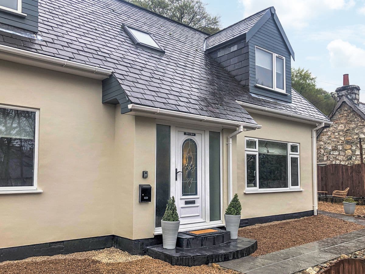
Fort William
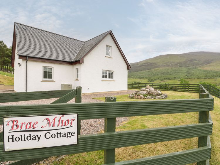
Brae Mhor Cottage
Sleeps 6 · 3 beds
- No dogs
from £902 / week
Check dates for Brae Mhor Cottage (opens the booking site in a new tab)Checked 9 Oct
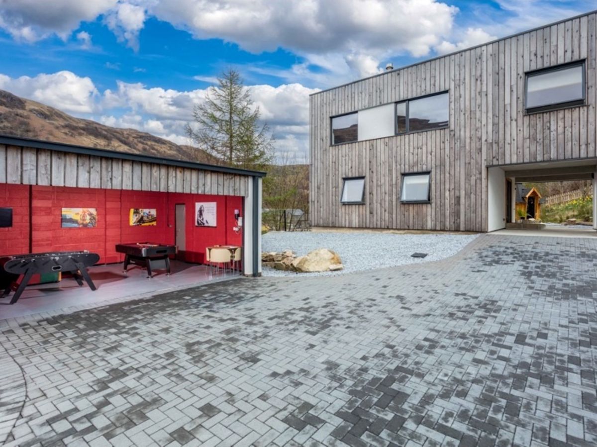
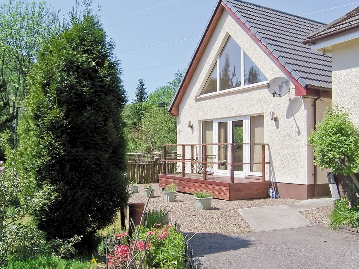
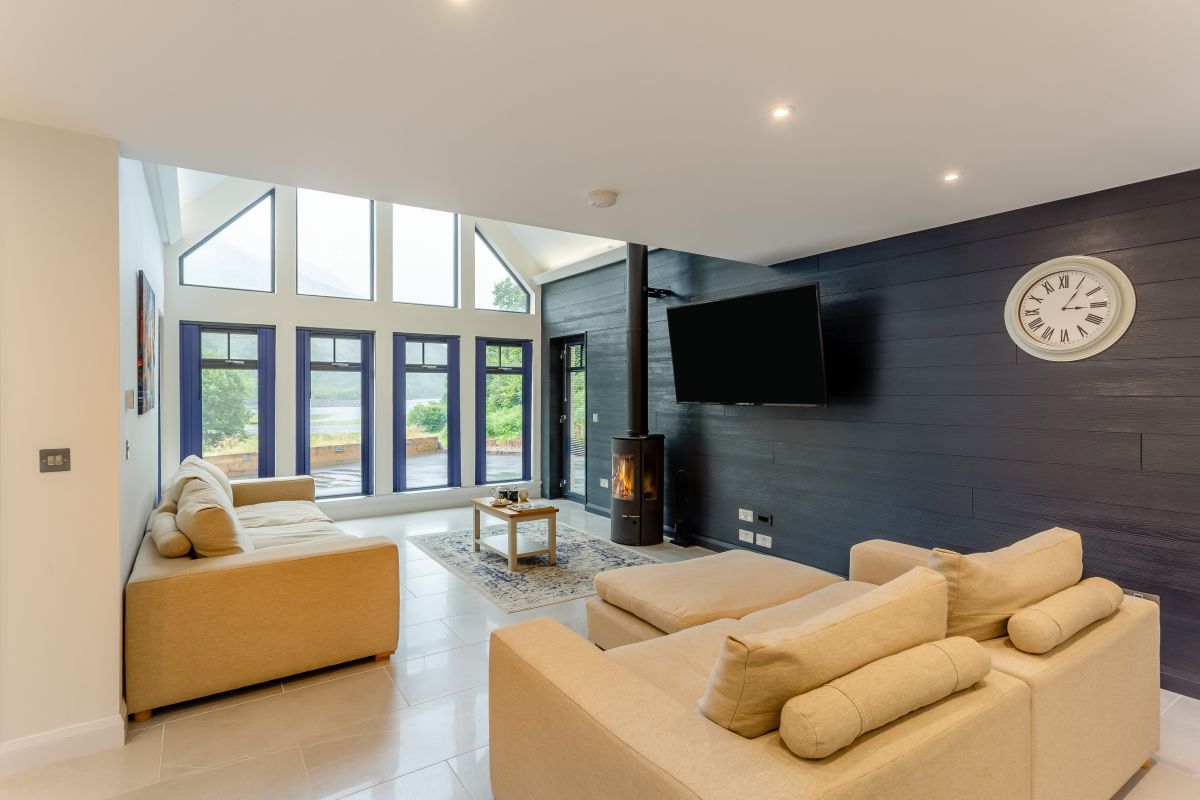
Kinlochleven, Northern Scotland
Mountain View - Kinlochleven
Sleeps 6 · 3 beds
- Hot tub
- Wood burner
- Dogs
from £1,363 / week
Check dates for Mountain View - Kinlochleven (opens the booking site in a new tab)Checked 5 Oct
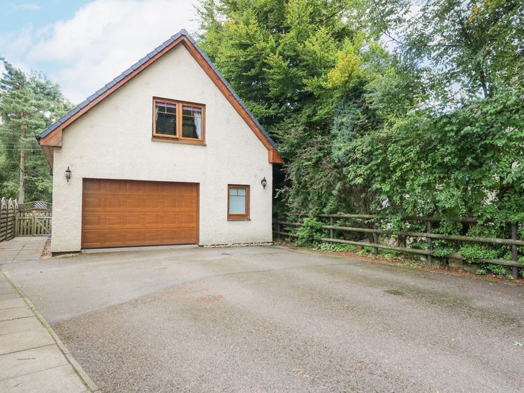
Fort William
Glenmhor Apartment
Sleeps 2 · 1 bed
- No dogs
from £666 / week
Check dates for Glenmhor Apartment (opens the booking site in a new tab)Checked 9 Oct
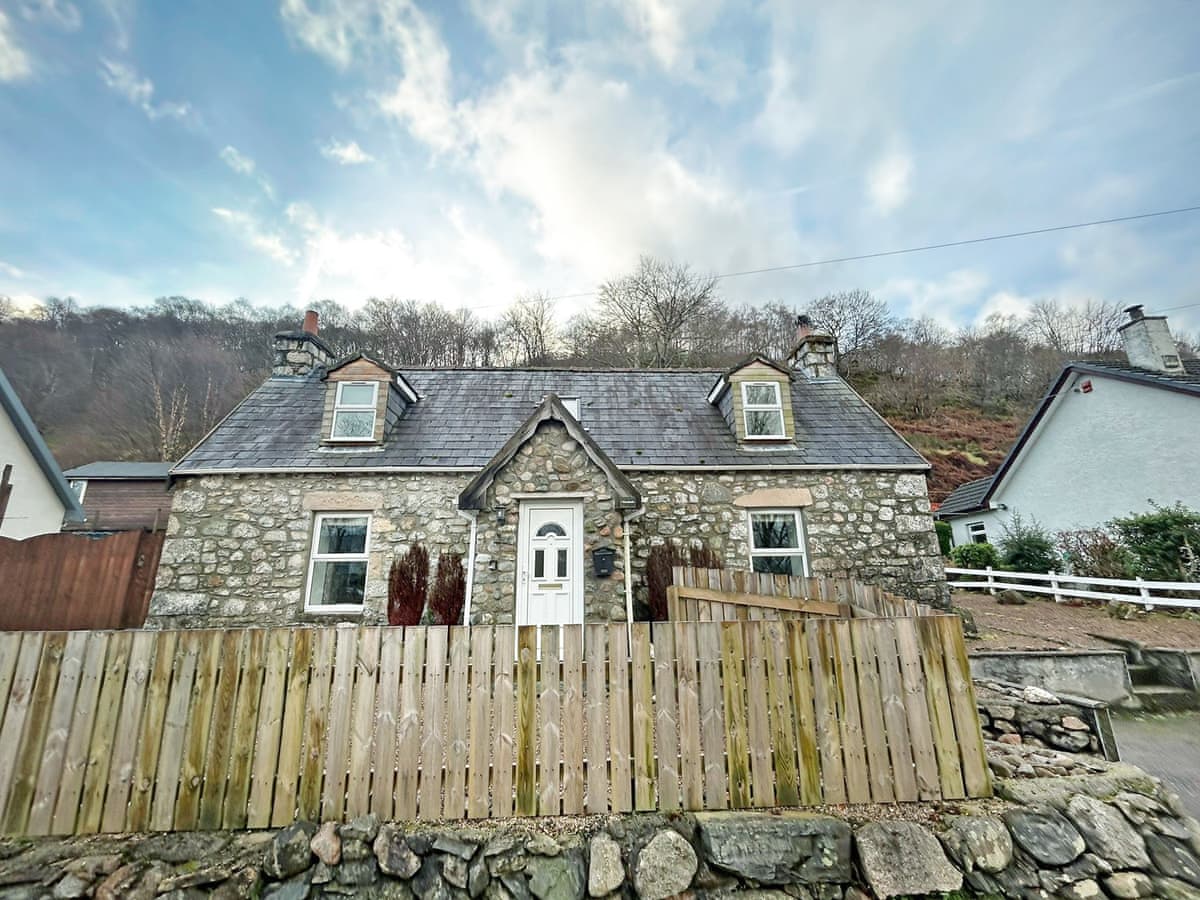
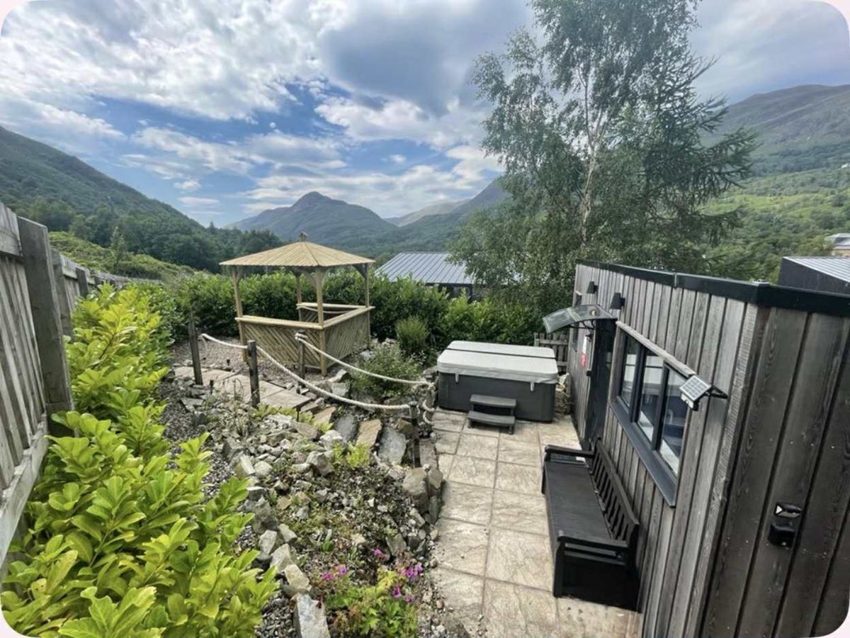
Kinlochleven, Northern Scotland
Mountain View Cabin - Kinlochleven
Sleeps 2 · 1 bed
- Hot tub
- Wood burner
- Dogs
from £648 / week
Check dates for Mountain View Cabin - Kinlochleven (opens the booking site in a new tab)Checked 5 Oct
Distances, ascent and times here are planning figures taken from published sources, not a route description to navigate by. Take a map and check the forecast.