Glencoe Lochan
Near Glencoe, Scotland
- Distance
- 1.6 km
- Time
- 30 min
- Difficulty
- Easy
- Shape
- Circular
- Parking
- Paid
- Dogs
- Yes: under control or on a lead near wildlife or livestock, FLS asks
Start: Glencoe Lochan car park, above the village
Grid ref: NN 104594
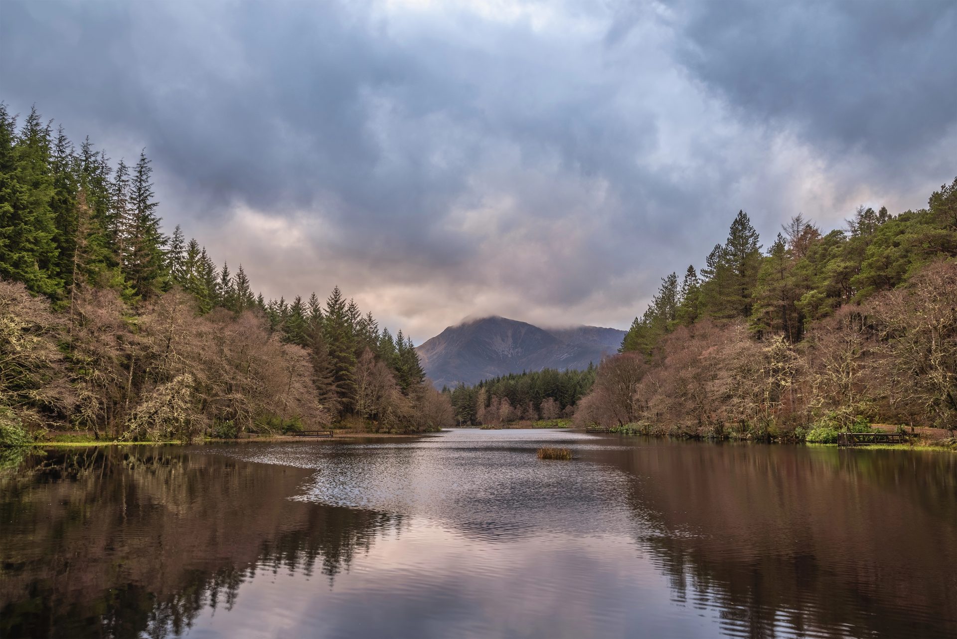
Above Glencoe village, Forestry and Land Scotland manages a small network of paths around Glencoe Lochan, an artificial loch made by Lord Strathcona, a Scottish-born fur trader who had made his fortune in Canada. Forestry and Land Scotland says he had it made for his homesick Canadian wife, and the North American conifers he planted around it in the 1890s do look more like the Rockies than the rest of Glen Coe.
The Lochan Trail is a flat, firm, smooth-surfaced loop of 1.6km, which Forestry and Land Scotland allows half an hour for, with rest points along it and the Pap of Glencoe seen across the water, often reflected in it. The Woodland Trail and the Mountain Trail are each about 1.6km as well, but both are graded strenuous: the first undulates over roots and rock, and the second climbs a very steep loose path to a view down Loch Leven. Walkhighlands combines the trails into one walk of 2.5km with 100m of ascent.
The Lochan Trail suits the day after a hard one elsewhere in the glen, and anyone with small children, a buggy or limited mobility. It will not satisfy a walker wanting a hill, because every path stays inside the forest, and a motorhome should not attempt the tarred drive to the car park, which Forestry and Land Scotland calls unsuitable for them. For a walker wanting a hill, the Devil’s Staircase climbs 250m from the A82; for the glen itself with no walking, stop at the Study on the A82 and look at the Three Sisters from the roadside.
Underfoot
Wide, firm gravel path, generally flat with short gentle gradients.
Stay within reach of the start
Booking through these links earns a commission. The price is the same.
West Laroch, near Ballachulish, Northern Scotland
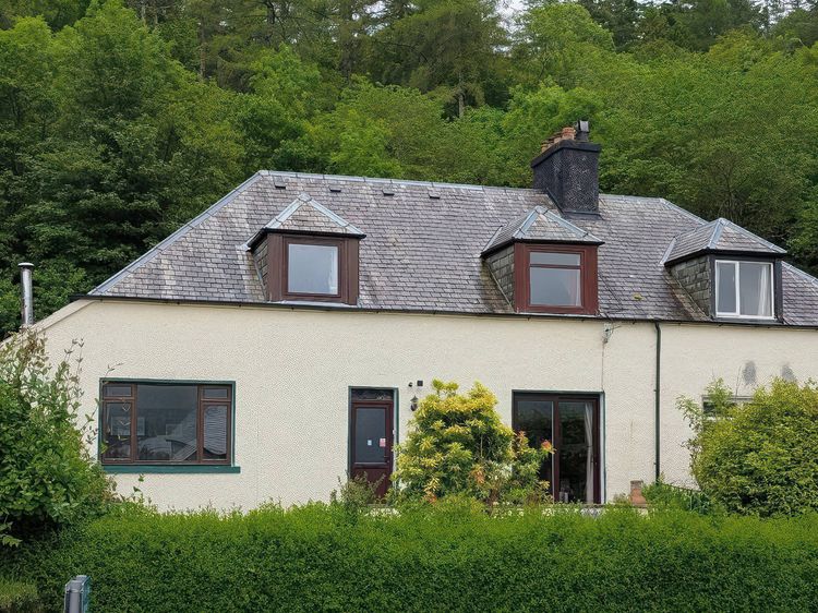
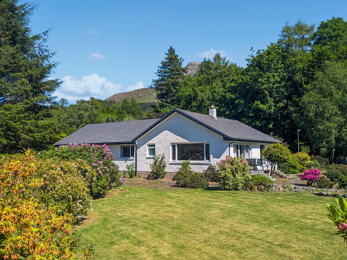
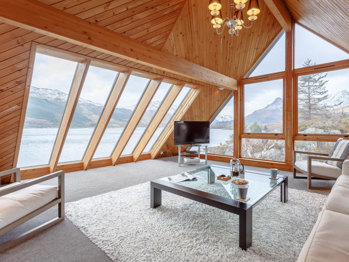
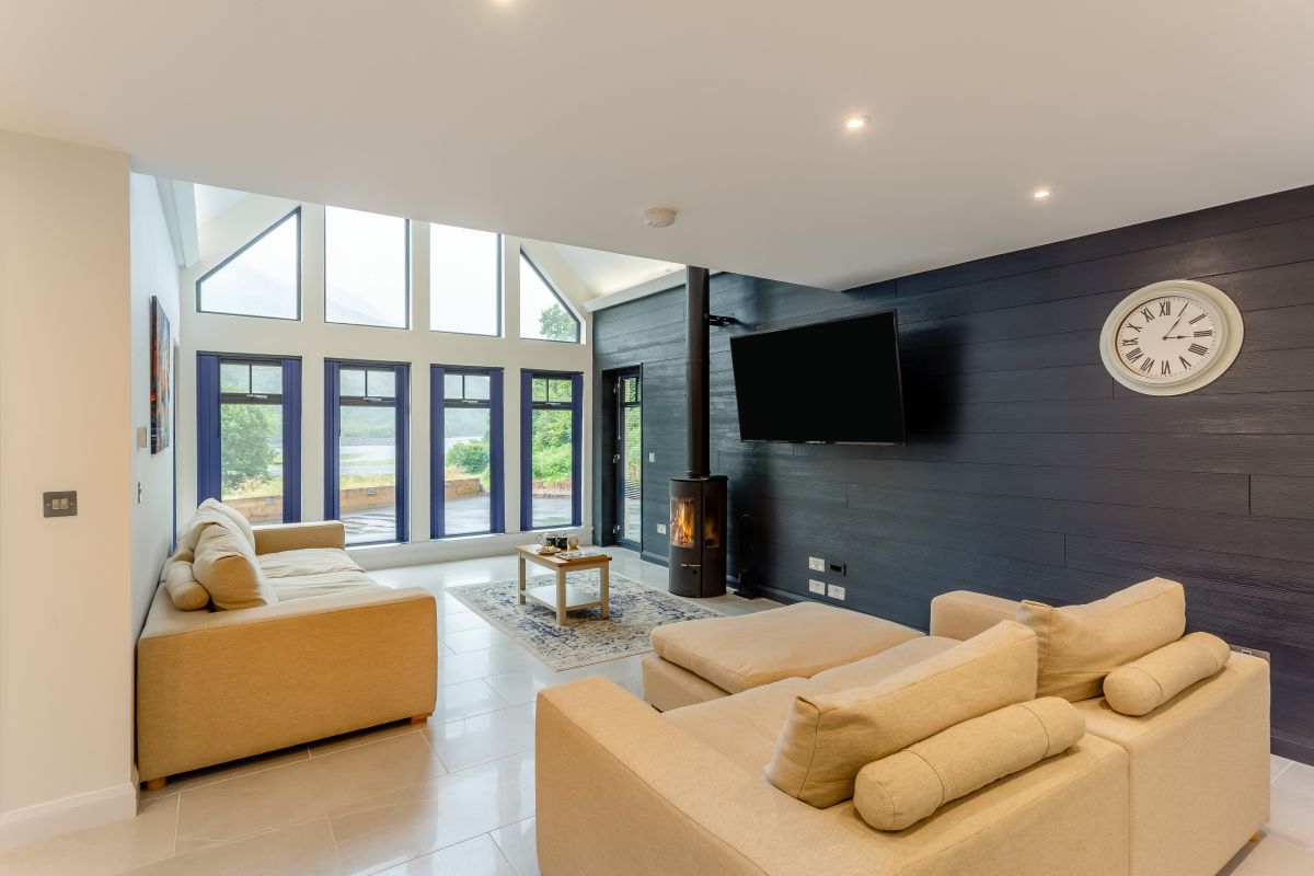
Lochside House
Sleeps 6 · 3 beds
- Wood burner
- No dogs
from £1,198 / week
Check dates for Lochside House (opens the booking site in a new tab)Checked 5 Oct
North Ballachulish near Glencoe
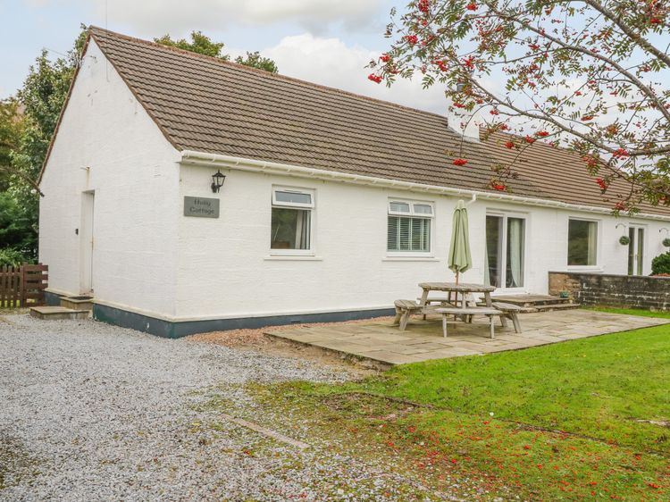
Holly Cottage
Sleeps 6 · 3 beds
- Wood burner
- No dogs
from £1,008 / week
Check dates for Holly Cottage (opens the booking site in a new tab)Checked 9 Oct
Glencoe
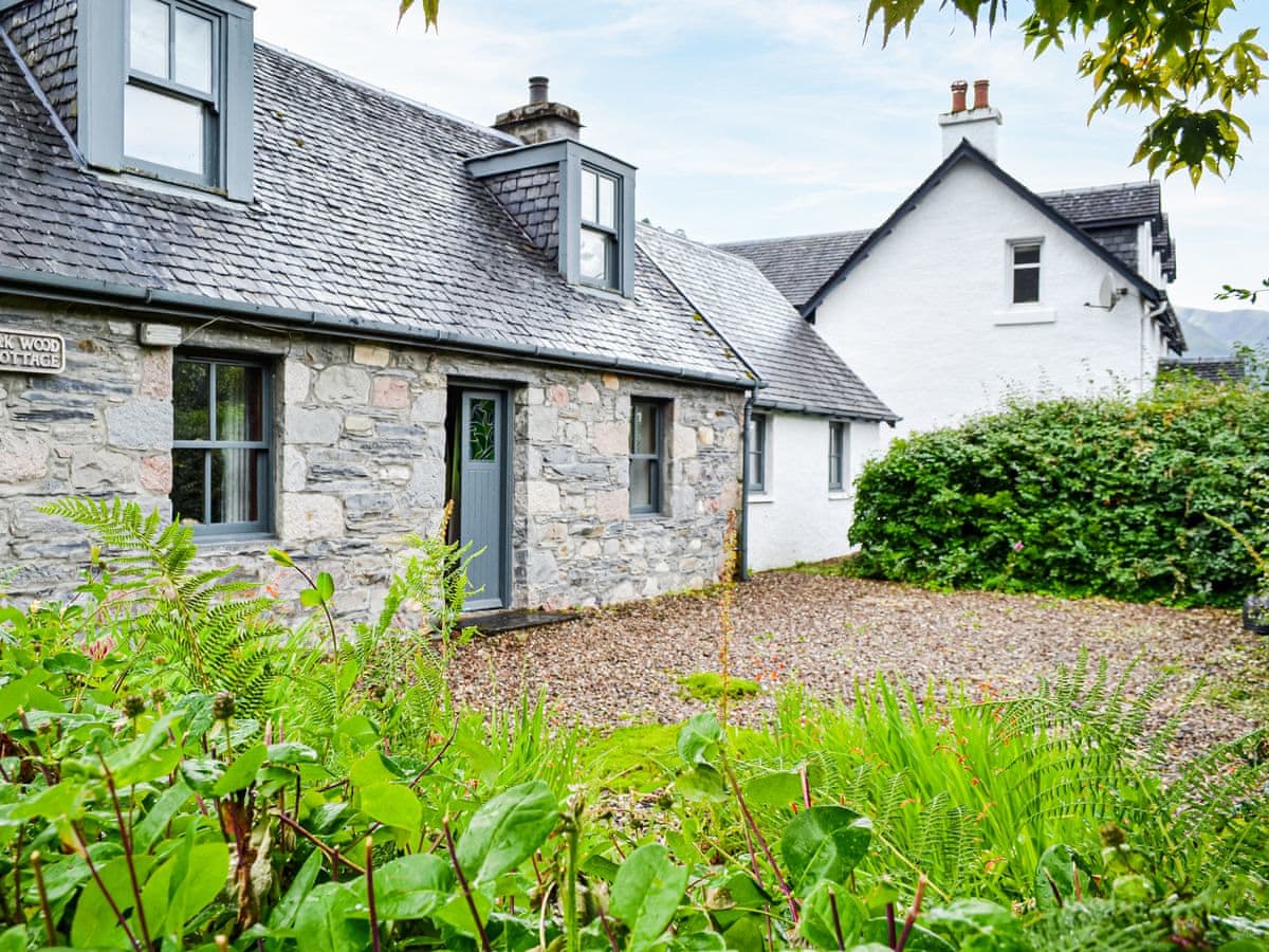
Oakwood Cottage
Sleeps 6 · 4 beds
- No dogs
from £821 / week
Check dates for Oakwood Cottage (opens the booking site in a new tab)Checked 24 Oct
Ballachulish
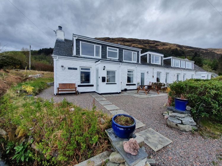
Sea Otter Cottage
Sleeps 4 · 2 beds
- Wood burner
- Dogs
from £584 / week
Check dates for Sea Otter Cottage (opens the booking site in a new tab)Checked 9 Oct
Distances, ascent and times here are planning figures taken from published sources, not a route description to navigate by. Take a map and check the forecast.