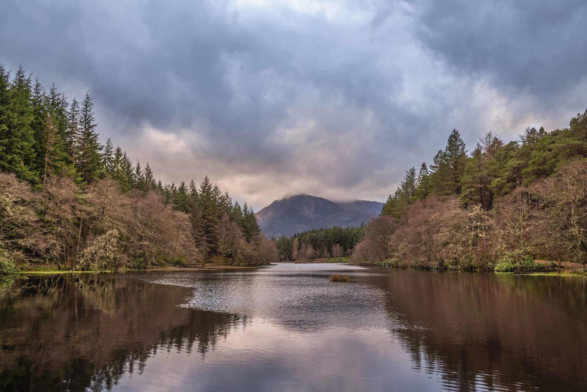
Glencoe Lochan
A flat, waymarked forest loop around an artificial lochan above Glencoe village, with views of the Pap of Glencoe.
- 1.6 km
- 30 min
- Easy
Gaelic: A' Chàrnaich
The classic Highland glen, with a village at its foot.
11 m
Fort William
About 16 miles north; there is no station in the glen.
7
155
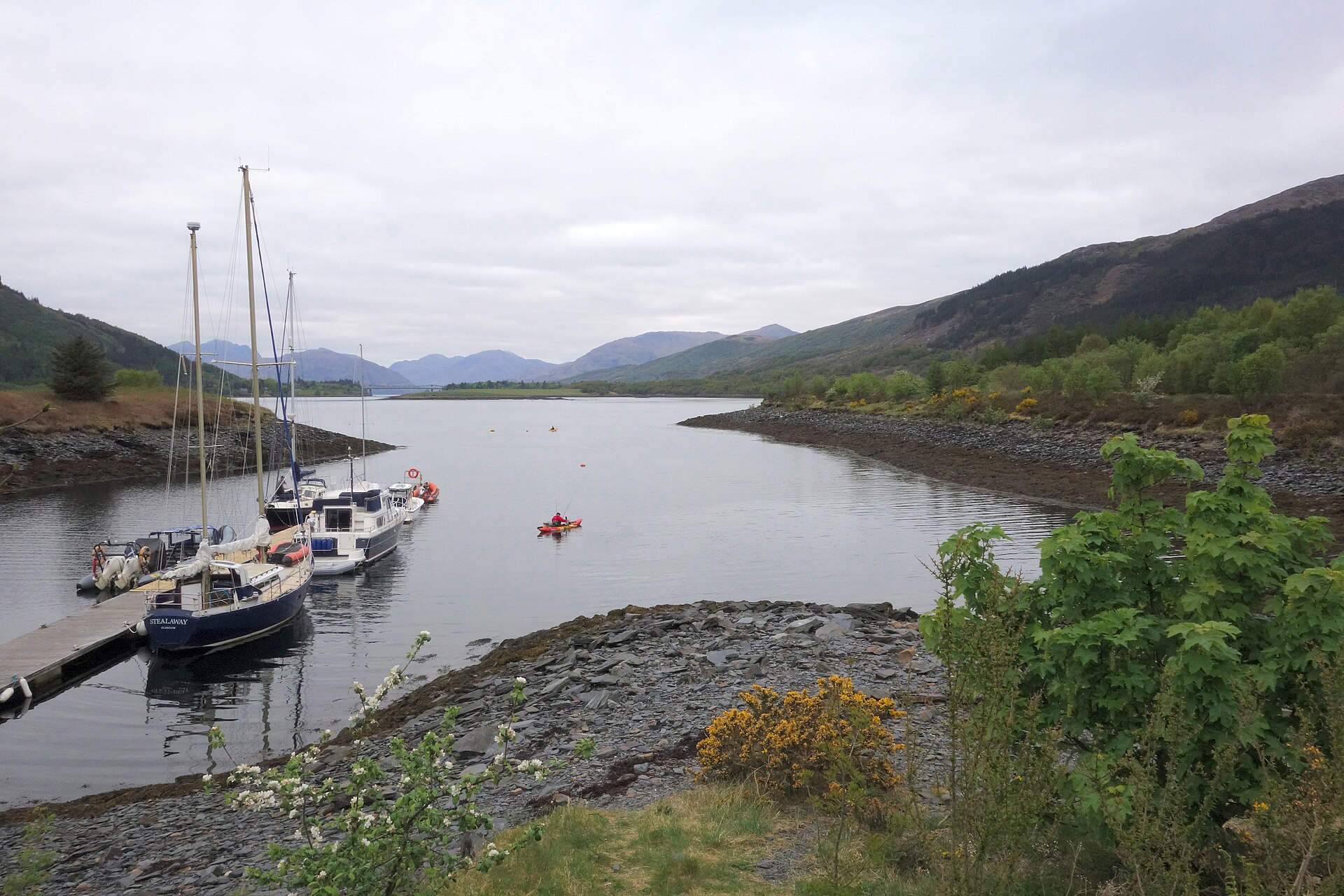
Glencoe is a small village of a few hundred people at the north-western end of Glen Coe, where the River Coe meets the tidal Loch Leven. Its setting does most of the work: the glen is the remains of an ancient supervolcano later carved by ice, about 12.5km long with a floor less than 700m wide, hemmed in by the Three Sisters ridges of Bidean nam Bian, which rises to 1,150m, on one side and the Aonach Eagach ridge on the other. The glen is also the site of the Massacre of Glencoe in 1692, when government soldiers billeted with Clan MacDonald turned on their hosts, a history the NTS visitor centre covers in some detail.
Glencoe village is small and quiet, with limited services, but it sits where the glen’s mountain scenery meets Loch Leven’s coastal one, and it puts the whole of Glen Coe within a short drive. It works well as a base for a mix of easy days and hard ones: gentle forest walking in the village itself, and serious hillwalking and scrambling a few miles up the glen.
Glencoe Lochan and its forest trails are walkable from the village. Everything else that makes the glen famous, the roadside view of the Three Sisters from the pull-in called the Study, Buachaille Etive Mòr, the start of the Devil’s Staircase at Altnafeadh, and Glencoe Mountain’s ski and bike centre, sits several miles up the A82 and needs a car; there is no public transport along the glen itself beyond the Citylink coach on the trunk road.
There is no railway station in the glen; Fort William, about 16 miles north, is the nearest. The NTS visitor centre has the main car park and, in poor weather, is a useful source of route and access information. Much of the walking above the glen floor is serious mountain terrain: the Aonach Eagach ridge and several of Glen Coe’s other peaks are exposed scrambles, a different proposition entirely from the glen’s lochside forest paths.
The National Trust for Scotland visitor centre, a mile from Glencoe village at the western end of the glen, has its own car park; roadside laybys along the A82 serve individual viewpoints and paths.
The A82 runs the length of the glen; a minor road up Glen Etive branches off near its head towards Loch Etive.
A flat, waymarked forest loop around an artificial lochan above Glencoe village, with views of the Pap of Glencoe.
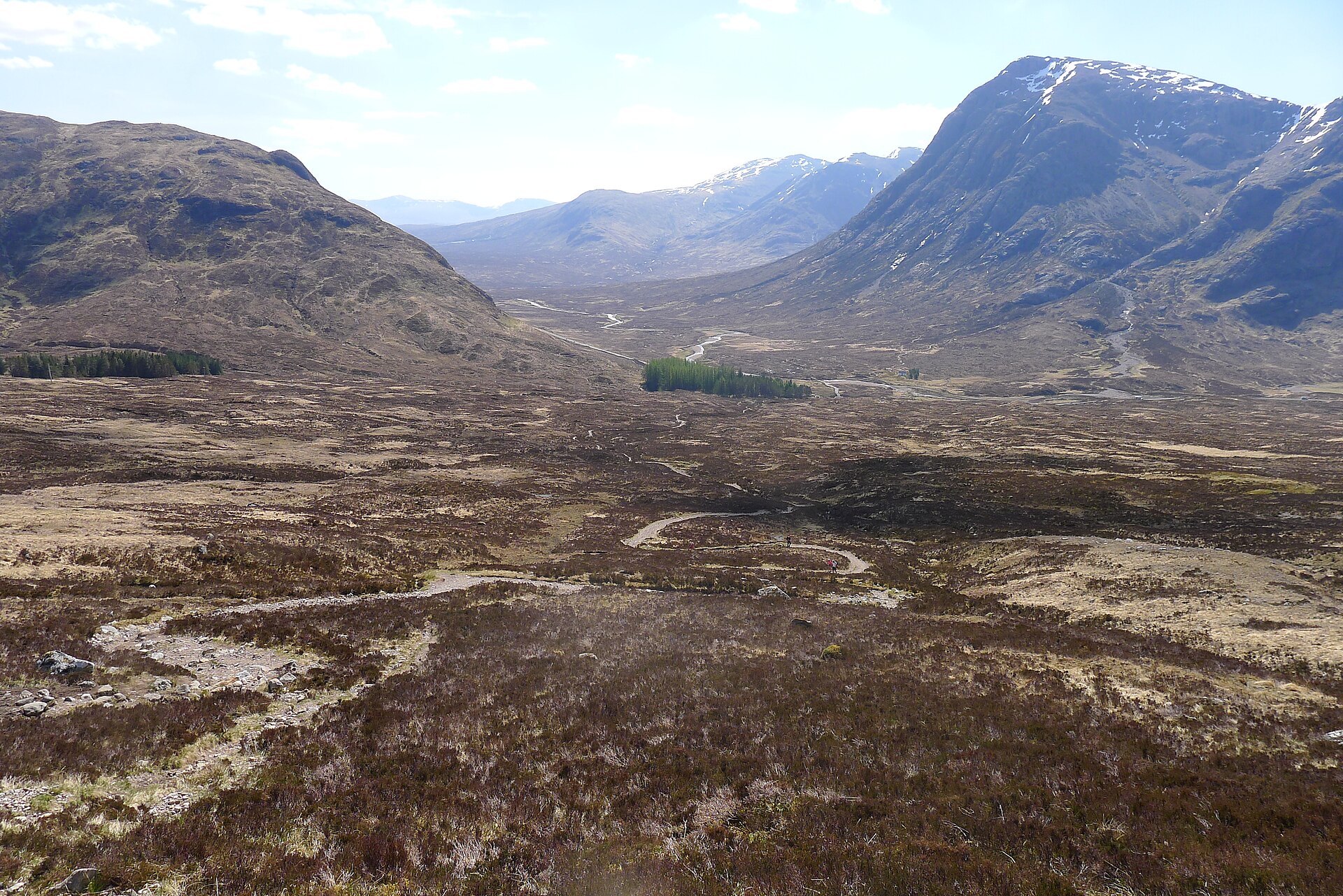
The West Highland Way's steepest, highest section, a zigzag climb from Altnafeadh to the highest point on the whole long-distance route.
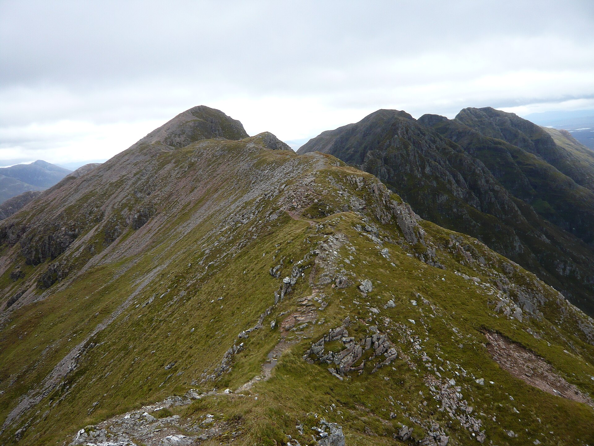
Famed as the narrowest ridge on the British mainland, a grade 2/3 scramble across Glen Coe linking two Munro summits with no easy way off.
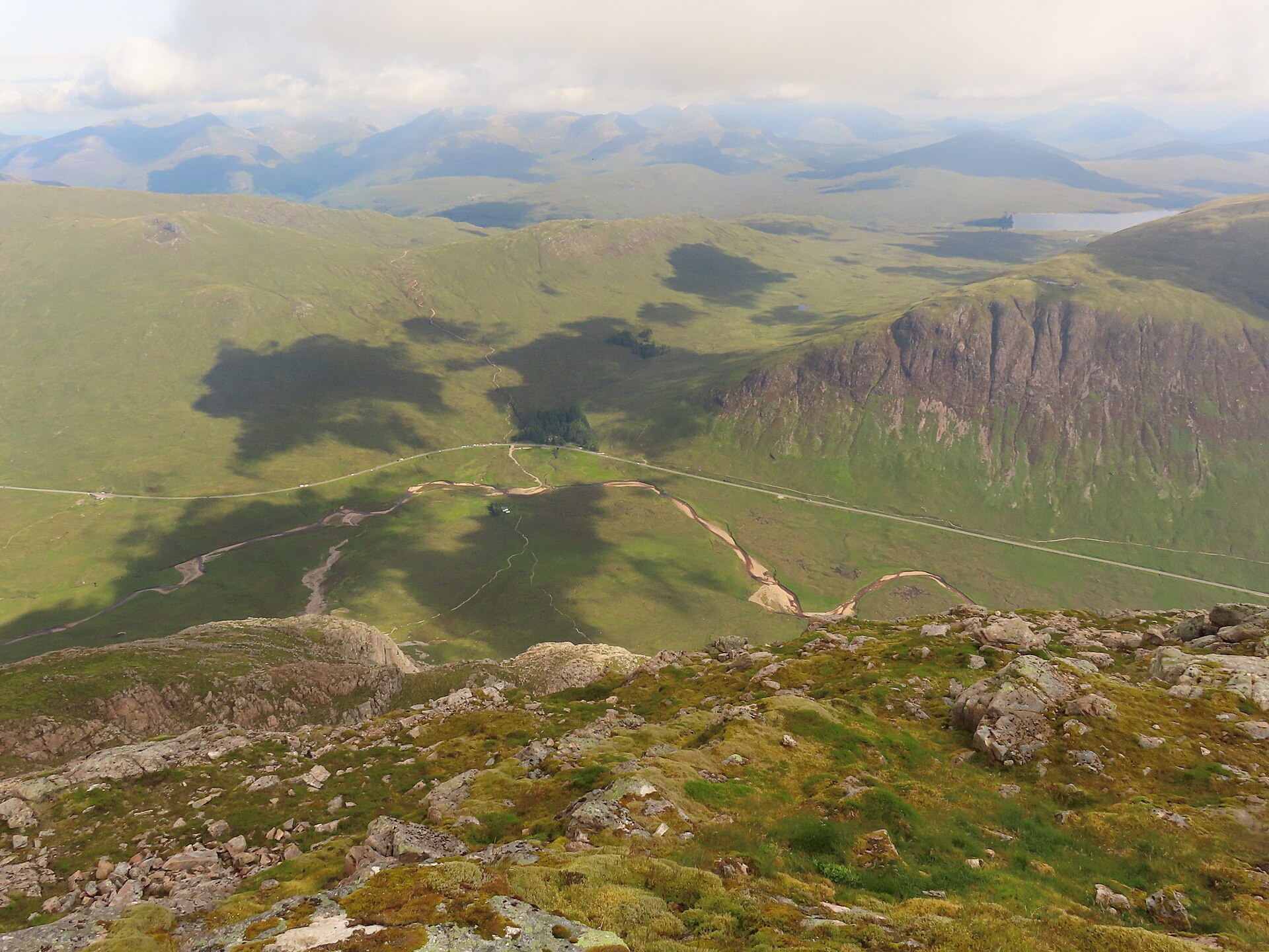
A pyramid-shaped Munro guarding Glen Coe's eastern end, climbed by Coire na Tulaich to Stob Dearg and traversed on to Stob na Bròige.
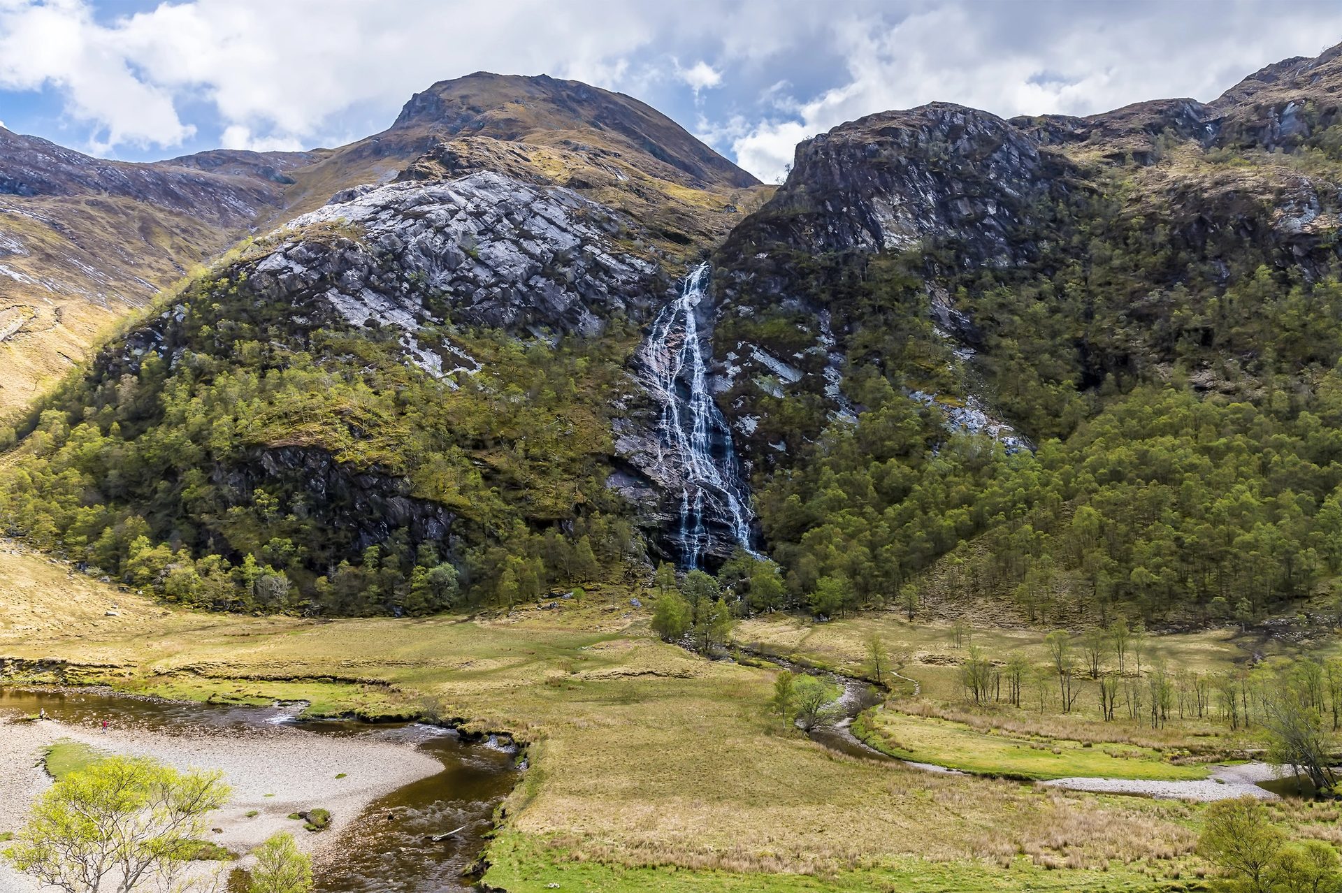
A short walk through the narrow Nevis Gorge to a waterfall of more than 100 metres, with an optional wire bridge crossing at the far end.
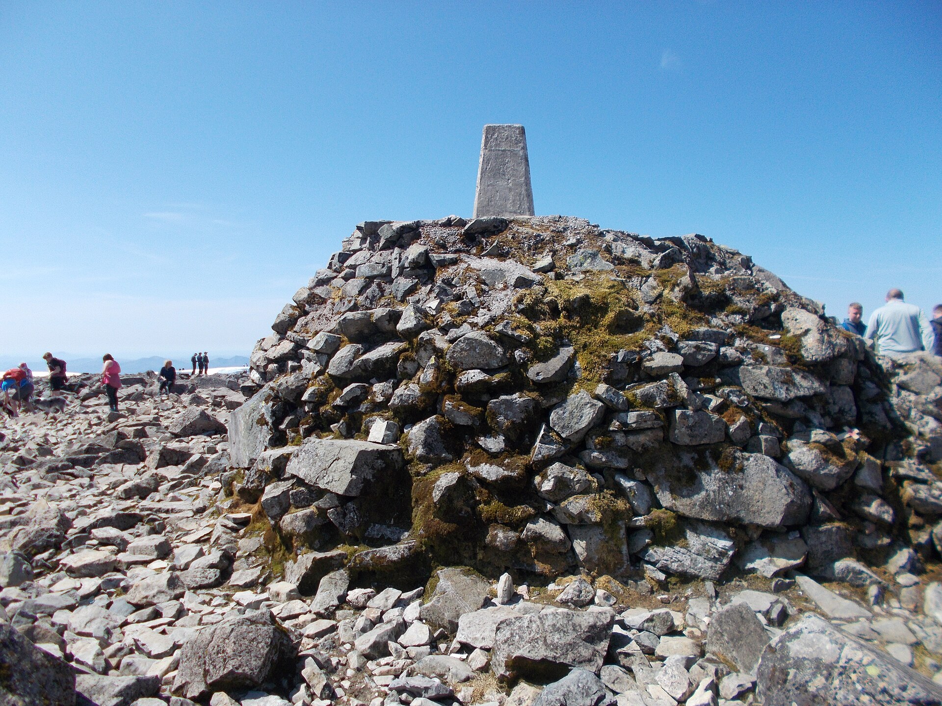
The standard walking route up Britain's highest mountain, a long, steady climb on a stony path with no scrambling but a serious amount of ascent.
Reached by car, by lift or by a short walk, rather than a day on the hill.
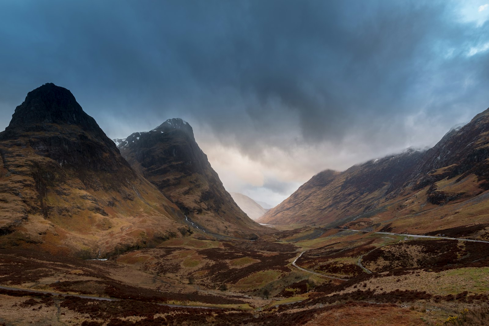
A roadside pull-in on the A82 with the classic view of the Three Sisters ridges, reached without leaving the car.
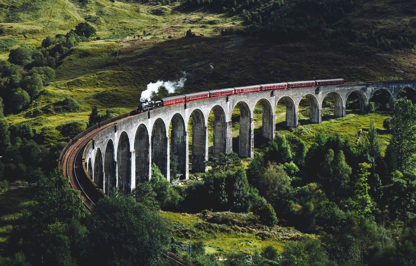
The curving 21-arch railway viaduct made famous by the Jacobite steam train and the Harry Potter films.
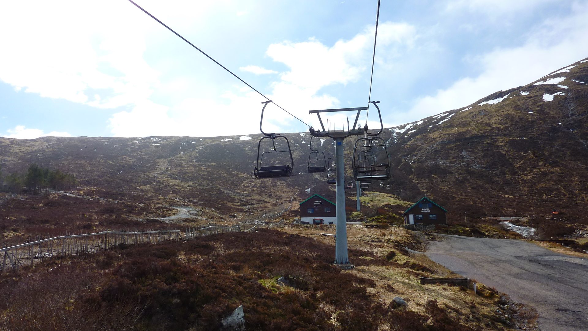
A chairlift-served bike park and summer activity centre at the head of Glen Coe, with cross-country and downhill mountain bike trails.
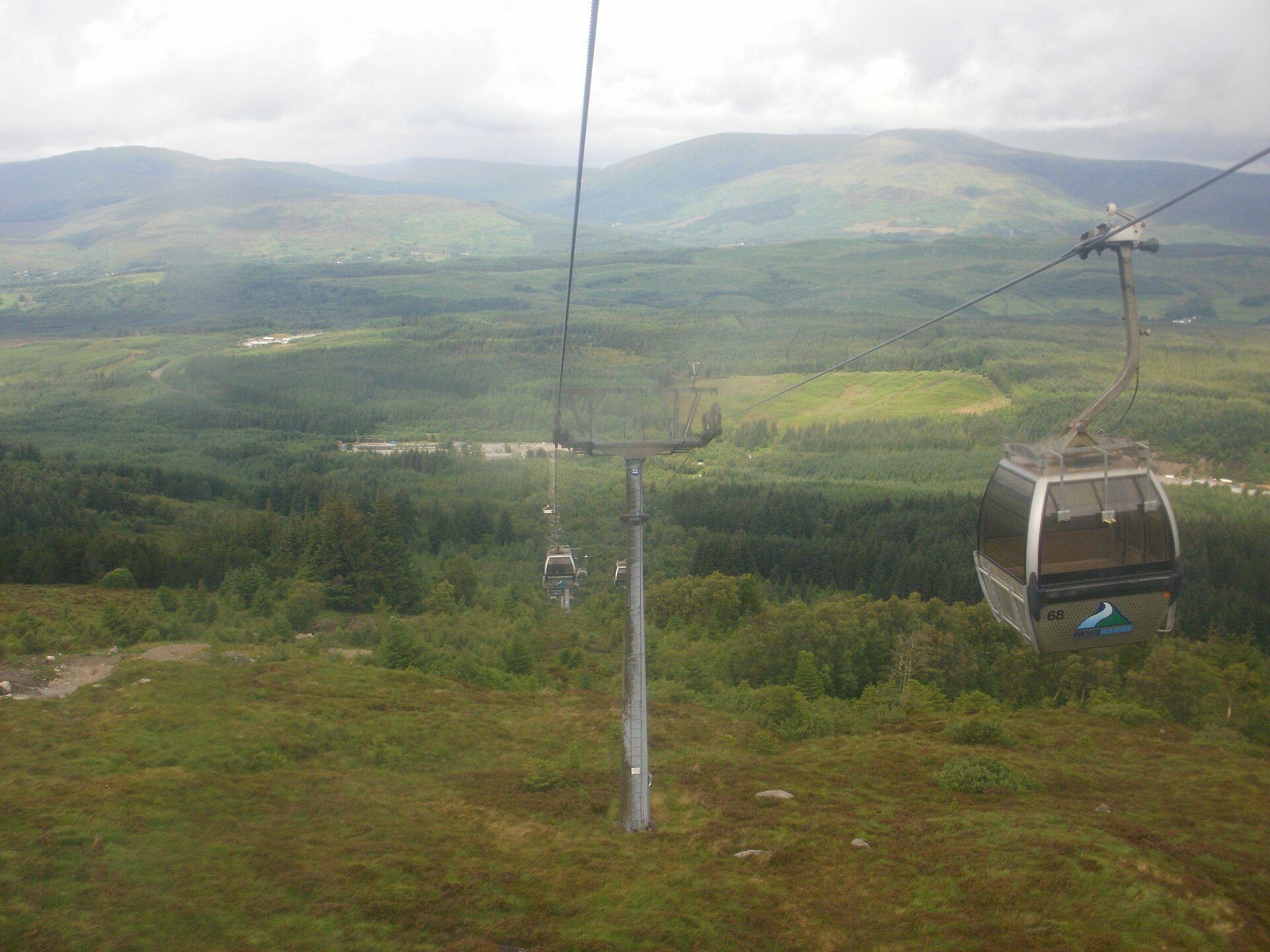
A gondola up Aonach Mòr to 650 metres, which Nevis Range calls the UK's only mountain gondola, with a downhill bike track and hill paths at the top.
Booking through these links earns a commission. The price is the same.
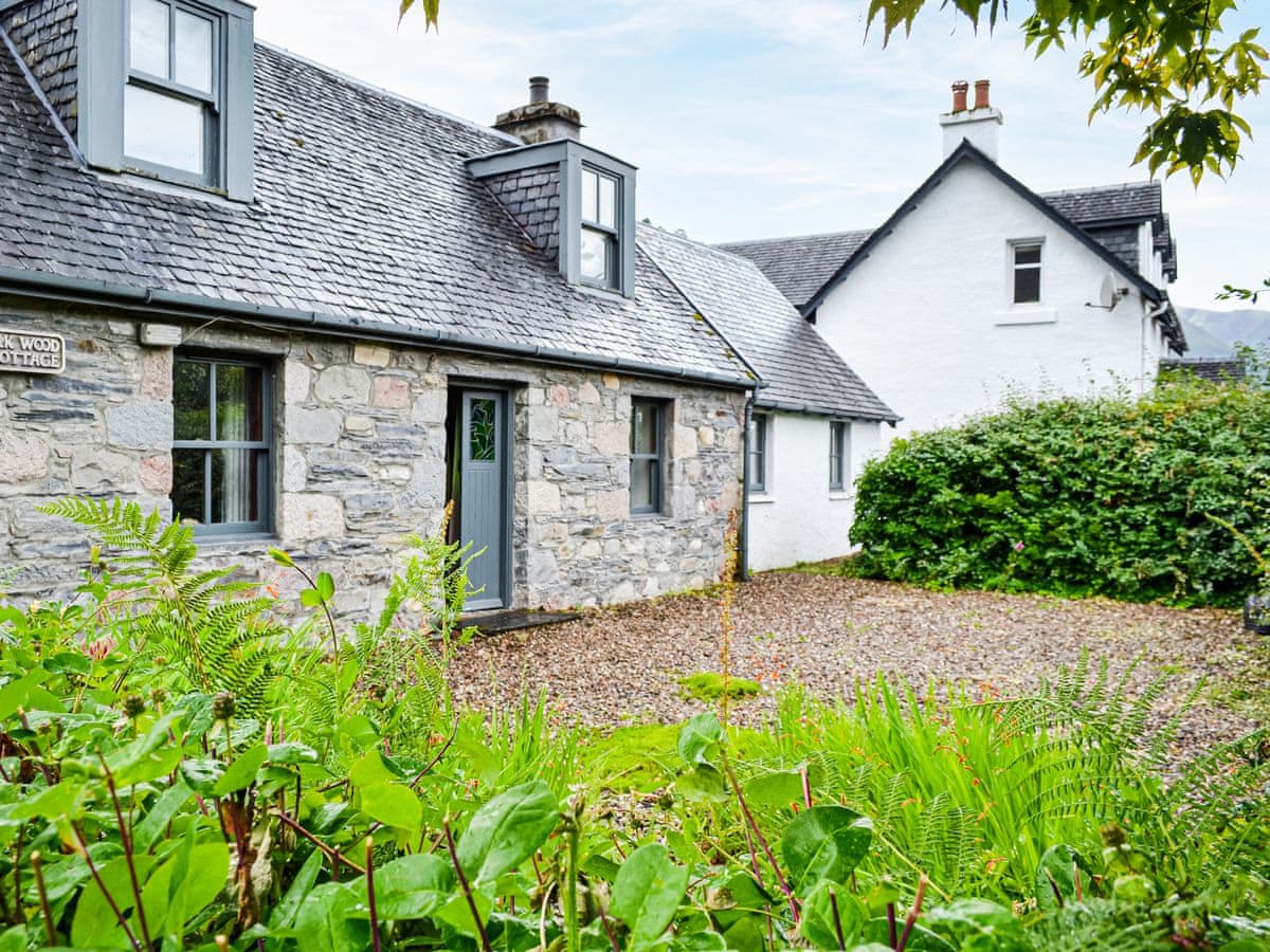
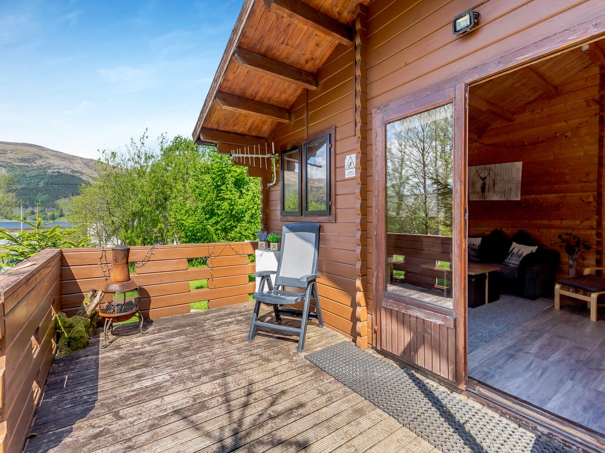
Glencoe
Sleeps 6 · 4 beds
from £821 / week
Check dates for Oakwood Cottage (opens the booking site in a new tab)Checked 24 Oct
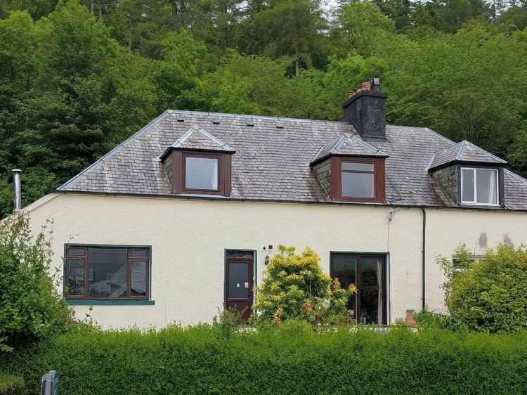
West Laroch, near Ballachulish, Northern Scotland
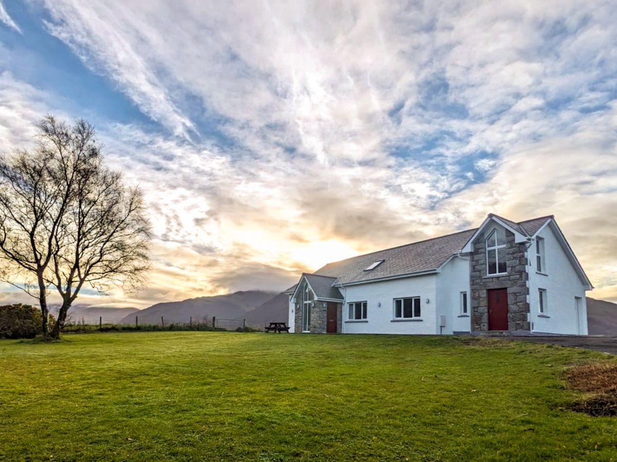
Sleeps 6 · 3 beds
from £1,198 / week
Check dates for Lochside House (opens the booking site in a new tab)Checked 5 Oct
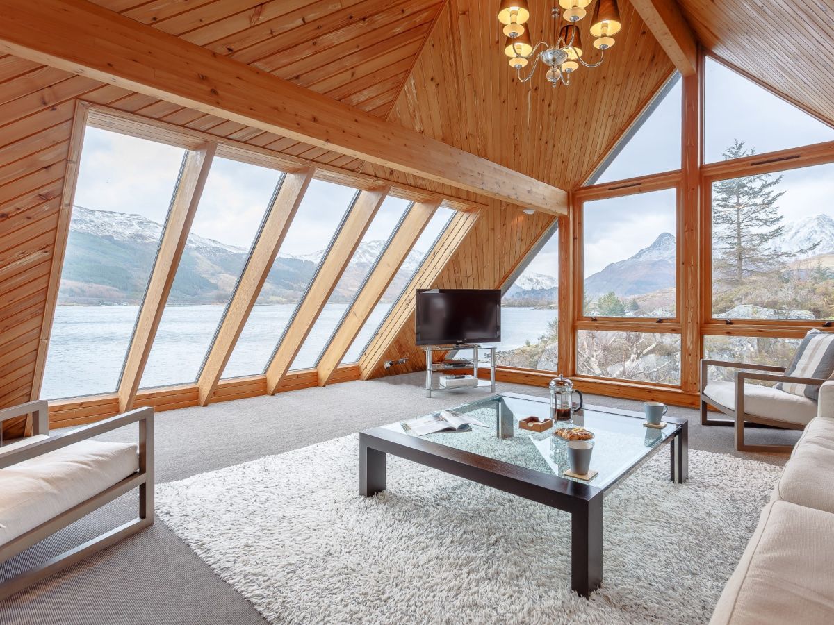
North Ballachulish near Glencoe
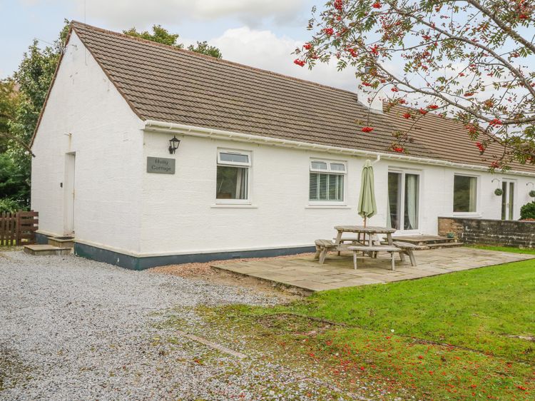
Sleeps 6 · 3 beds
from £1,008 / week
Check dates for Holly Cottage (opens the booking site in a new tab)Checked 9 Oct
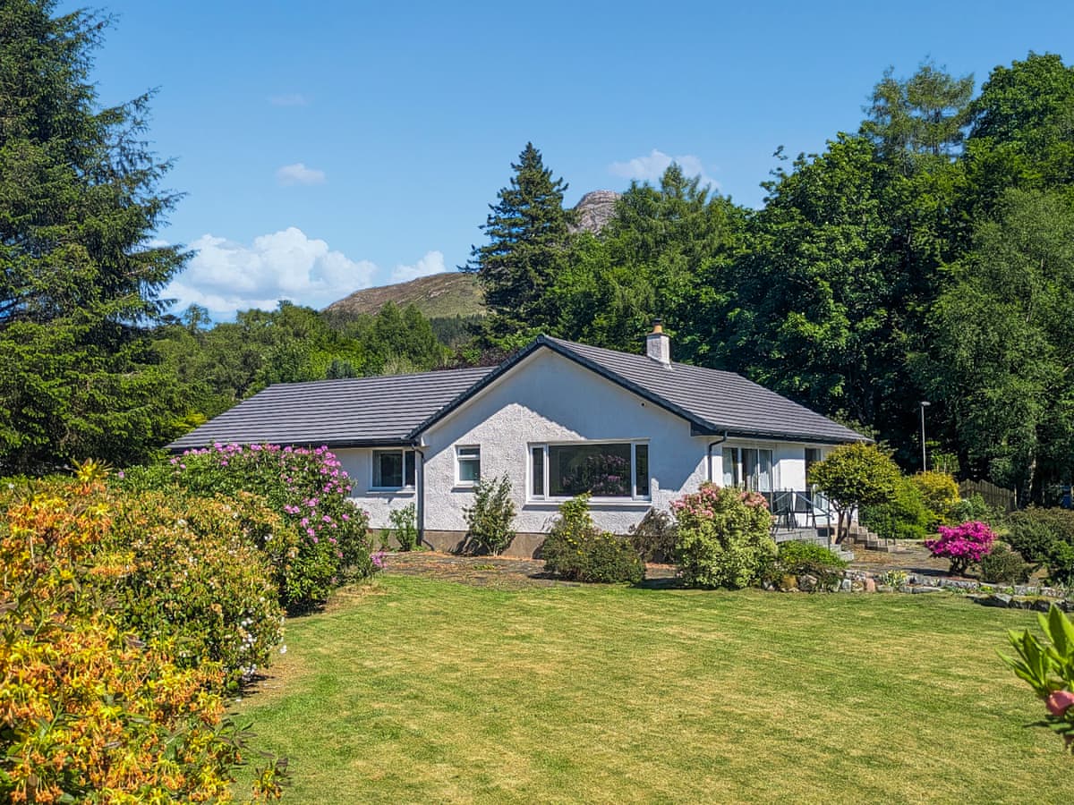
Ballachulish
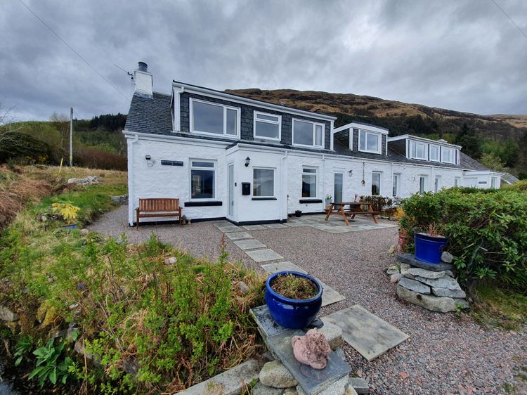
Sleeps 4 · 2 beds
from £584 / week
Check dates for Sea Otter Cottage (opens the booking site in a new tab)Checked 9 Oct