The Devil's Staircase
Near Glencoe, Scotland
- Distance
- 3.6 km
- Ascent
- 250 m
- Time
- 3 hr 30 min
- Difficulty
- Moderate
- Summit
- 550 m
- Shape
- There and back
- Parking
- Roadside only
- Dogs
- Yes: under close control near livestock, the West Highland Way asks
Start: Altnafeadh, on the A82
Grid ref: NN 221563
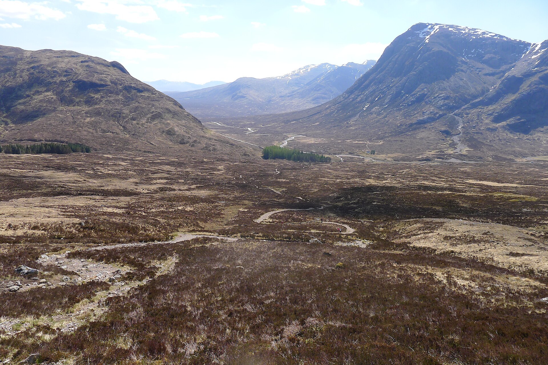
The Devil’s Staircase is the nickname, and now the accepted name, for the military-road zigzags that carry the West Highland Way over the pass between Altnafeadh, on the A82 near the head of Glen Coe, and Kinlochleven. The path still follows the line of the old military road, and the zigzags exist for the reason they exist on any such road: to keep the gradient manageable for men and pack animals, which they do equally well for walkers. Walkhighlands says that despite the forbidding name the path is very clear and the zigzags make the going easier.
From Altnafeadh the path climbs steadily, about 250m of ascent by the figure Scotland’s Best Walks With Children gives, to a summit at 550m, the highest point on the entire West Highland Way. The climb is steep in places but never technical, on a clear, well-constructed path that can be boggy underfoot and is exposed to wind, since it crosses open moorland with no shelter. Ordnance Survey’s Explorer 384, Glencoe, covers it. Walkhighlands calls the view of the Glencoe mountains from the top fabulous, and Buachaille Etive Mòr fills the view back down the glen.
Most West Highland Way walkers continue down the far side into Kinlochleven, a long descent that needs transport back to Glencoe afterwards. It works equally well as an out-and-back from Altnafeadh to the pass, a self-contained half-day with no transport to arrange, and either way this is open, weather-exposed ground, however well trodden the path. Scotland’s Best Walks With Children gives the out-and-back to the pass as 3.6km with 250m of ascent, allowing two to three and a half hours, and Countryfile gives Altnafeadh to Kinlochleven as 8.5km and four hours one way. Walkhighlands’ larger figures, 14km and a 305m climb to the pass, are measured from the Kings House hotel, where its stage of the Way begins. The walker it suits wants a hill day’s exposure on a path that needs no navigation, or simply to stand on the West Highland Way’s highest point without walking the rest. It is not a walk for a visitor after shelter or a short, flat outing, because the pass is reached by a 250m climb across open moorland. For Glen Coe scenery from the roadside with none of the climb, the pull-in at the Study is back down the A82.
Underfoot
Constructed zigzag path, originally a military road, climbing open moorland; can be boggy and exposed to wind at the top.
Stay within reach of the start
Booking through these links earns a commission. The price is the same.
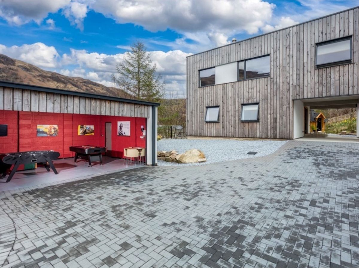
Kinlochleven, Northern Scotland
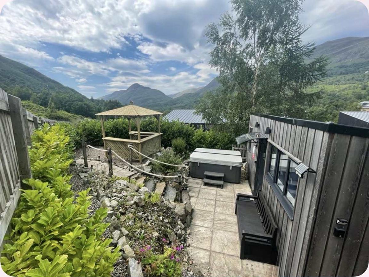
Mountain View - Kinlochleven
Sleeps 6 · 3 beds
- Hot tub
- Wood burner
- Dogs
from £1,363 / week
Check dates for Mountain View - Kinlochleven (opens the booking site in a new tab)Checked 5 Oct
Kinlochleven, Northern Scotland
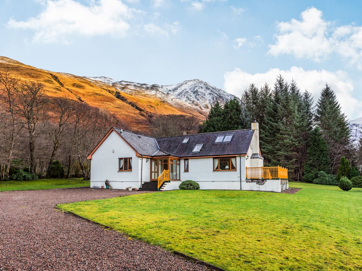
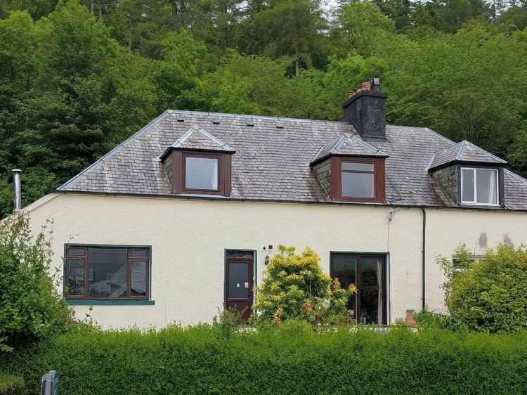
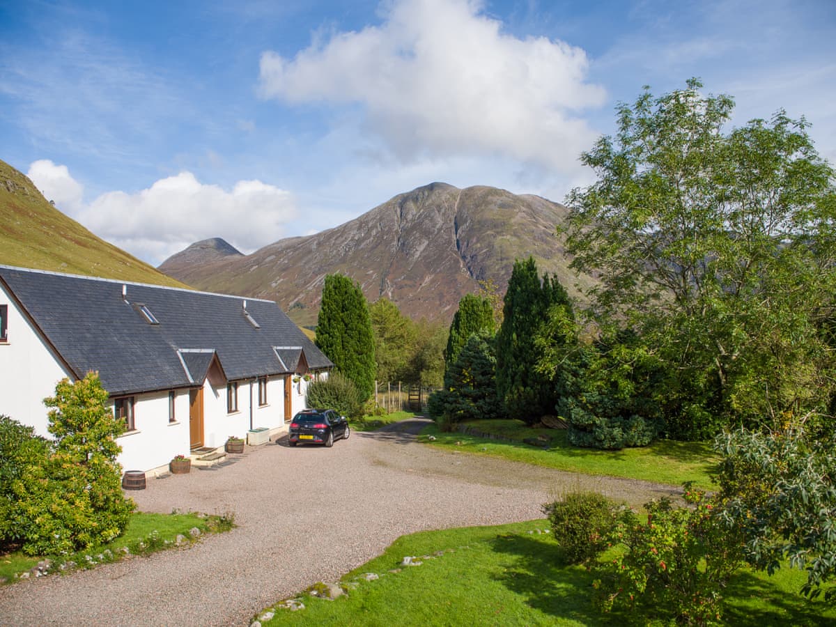
Mountain View Cabin - Kinlochleven
Sleeps 2 · 1 bed
- Hot tub
- Wood burner
- Dogs
from £648 / week
Check dates for Mountain View Cabin - Kinlochleven (opens the booking site in a new tab)Checked 5 Oct
Glencoe
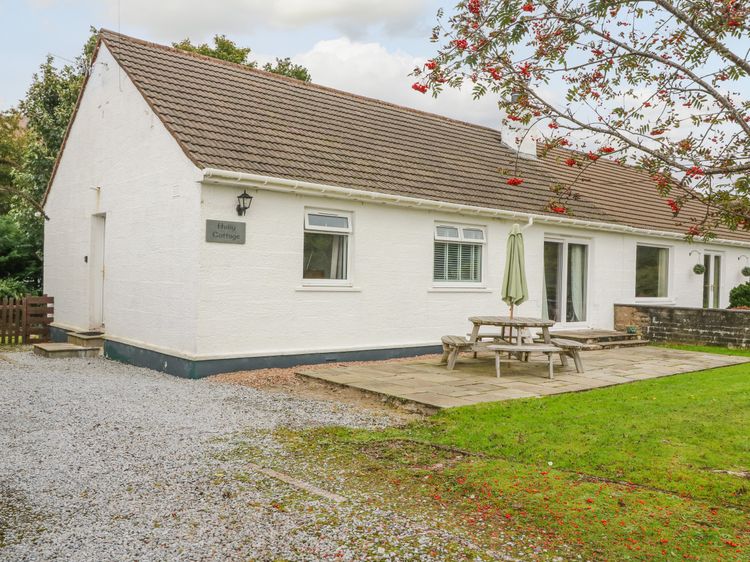
Glencoe Mountain Cottages - Bidean Cottage
Sleeps 6 · 3 beds
- Dogs
from £1,062 / week
Check dates for Glencoe Mountain Cottages - Bidean Cottage (opens the booking site in a new tab)Checked 24 Oct
North Ballachulish near Glencoe
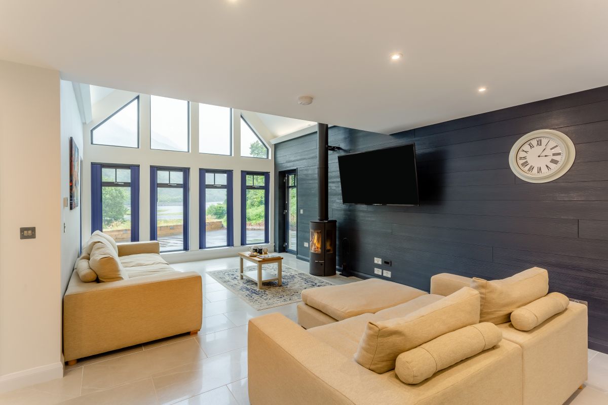
Holly Cottage
Sleeps 6 · 3 beds
- Wood burner
- No dogs
from £1,008 / week
Check dates for Holly Cottage (opens the booking site in a new tab)Checked 9 Oct
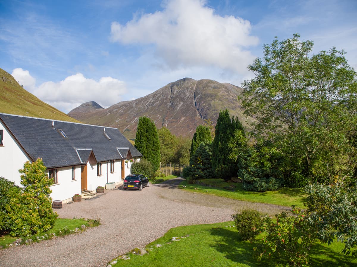
Glencoe
Glencoe Mountain Cottages - Aonach Cottage
Sleeps 6 · 3 beds
- Dogs
from £852 / week
Check dates for Glencoe Mountain Cottages - Aonach Cottage (opens the booking site in a new tab)Checked 24 Oct
Distances, ascent and times here are planning figures taken from published sources, not a route description to navigate by. Take a map and check the forecast.