Sugar Loaf from the National Trust Car Park
Near Abergavenny, Bannau Brycheiniog
- Distance
- 5.7 km
- Ascent
- 273 m
- Time
- 2 hr 30 min
- Difficulty
- Moderate
- Summit
- 596 m
- Shape
- There and back
- Dogs
- Yes
Start: National Trust car park at the viewpoint, reached by a narrow lane from the A40 west of Abergavenny
Grid ref: SO 268167
Sugar Loaf, Mynydd Pen-y-fâl in Welsh, stands 596m high on the National Trust’s figure and dominates the skyline north of Abergavenny. Its cone suggests a volcano, and the Trust says as much before correcting it: the mountain is the same Old Red Sandstone as the rest of the Black Mountains. Three finger-like ridges, Llanwenarth, Rholben and Deri, run down from it and enclose two wooded valleys, St Mary’s Vale and the Cibi Valley.
The Trust looks after the mountain, but the open moor is registered common land spanning Monmouthshire and Powys, and local farmers hold grazing rights over it, so sheep are the other users of every path. The ground is also a Special Area of Conservation, which is why the Trust asks that dogs stay on leads. The Bannau Brycheiniog National Park Authority names the Trust car park at SO 268167 as the place to park, and Walking Britain describes the way up from it: a clear wide track north-west past a wall corner, then a double path in a long sweep to the trig point. The top is a minor ridge with a fairly steep drop to the north, where Walking Britain advises care with children, and the panorama runs south over the River Usk and north-west into the heart of the Brecon Beacons.
Walking Britain measures the out-and-back from the car park at 5.7km with 273m of ascent, about two and a half hours. Its longer circuit by the Rholben ridge and St Mary’s Vale is 9.8km with 485m of ascent and over four hours, and it warns that the final climb back to the car park needs saved energy. The short route suits anyone who wants a proper summit and a long view in half a day. A walker who wants a dog off the lead, or a family whose small children cannot be kept back from the north edge, is not the right audience for this hill. For a hill with a ruined chapel on top and a wooded start, the Skirrid is the next summit east and also in the Trust’s care; for a steeper climb to an Iron Age hillfort, Table Mountain rises above Crickhowell.
Underfoot
A clear wide track and grass path over heather and bracken moorland, steepening on the final sweep to a narrow summit ridge with a fairly steep drop on the north side.
Stay within reach of the start
Everything here is inside 12 km of Sugar Loaf from the National Trust Car Park.
Booking links on these earn us a commission. The price you pay is the same either way.
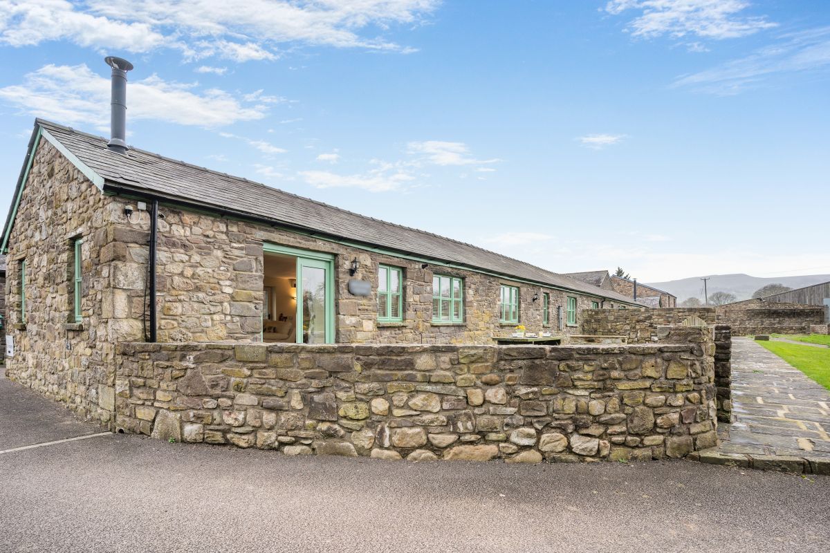
Gilwern, near Abergavenny, South Wales
Apple Blossom - Wales
Sleeps 4 · 2 beds
- Wood burner
- No dogs
from £657 / week
Check dates for Apple Blossom - Wales (opens the booking site in a new tab)Checked 7 Oct
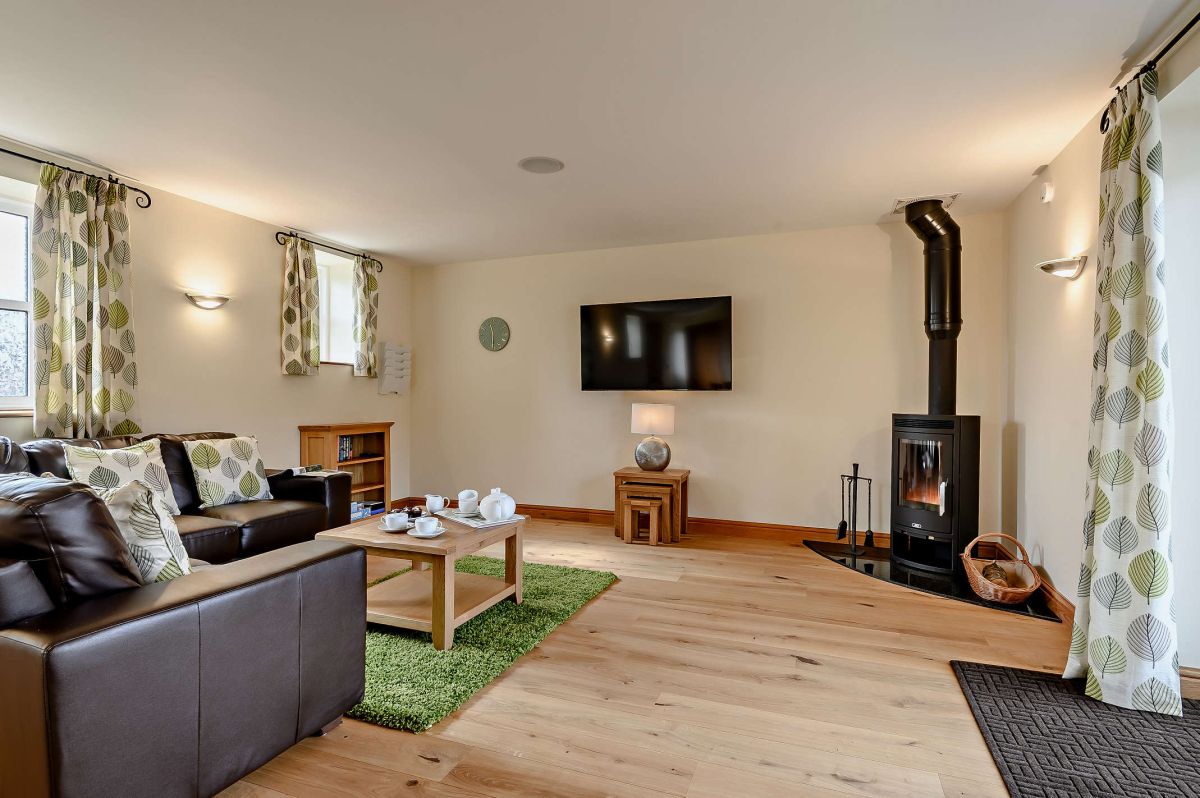
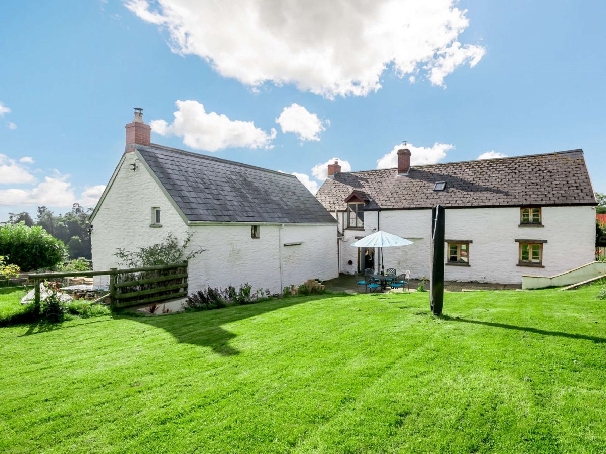
Llwyn Du, near Abergavenny, South Wales
Sugar Loaf Farmhouse
Sleeps 6 · 3 beds
- Wood burner
- Dogs
from £745 / week
Check dates for Sugar Loaf Farmhouse (opens the booking site in a new tab)Checked 7 Oct
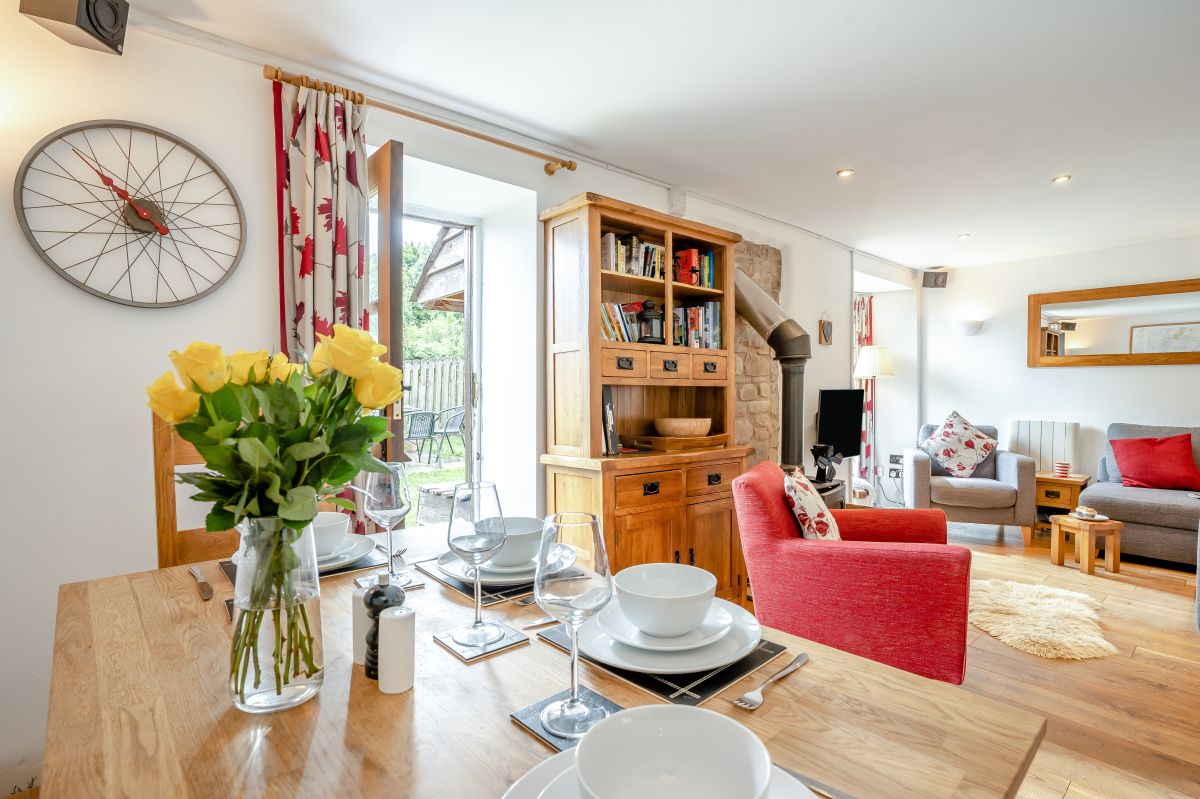
Abergavenny, South Wales
Usk Valley Cottage
Sleeps 4 · 2 beds
- Wood burner
- Dogs
from £591 / week
Check dates for Usk Valley Cottage (opens the booking site in a new tab)Checked 7 Oct
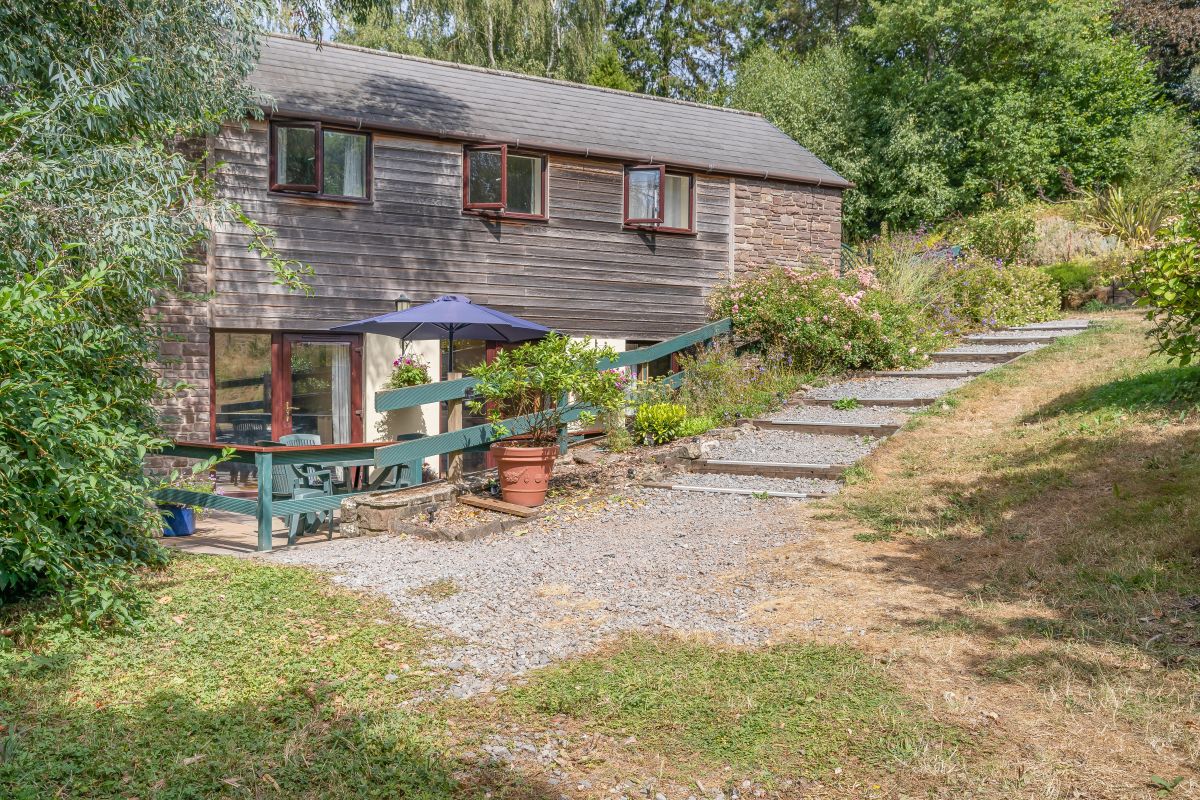
Llangenny, near Crickhowell, Mid Wales
Woodpecker Lodge - Llangenny
Sleeps 2 · 1 bed
- Dogs
from £476 / week
Check dates for Woodpecker Lodge - Llangenny (opens the booking site in a new tab)Checked 8 Oct
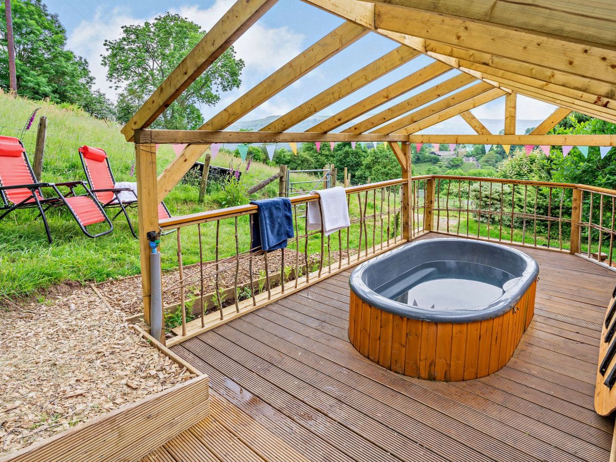
Llangenny, near Crickhowell, Mid Wales
Pheasant Lodge - Llangenny
Sleeps 4 · 2 beds
- Hot tub
- Dogs
from £579 / week
Check dates for Pheasant Lodge - Llangenny (opens the booking site in a new tab)Checked 7 Oct
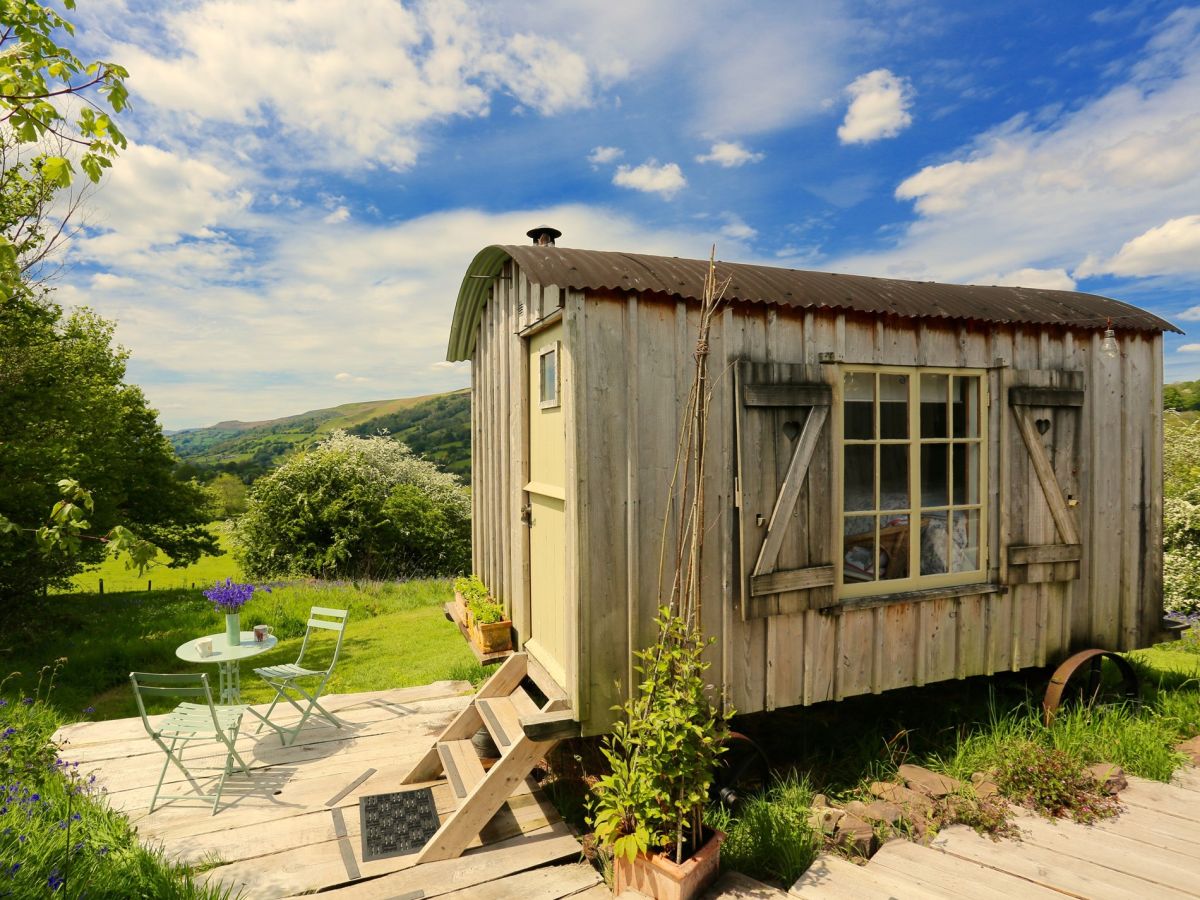
Forest Coal Pit, near Abergavenny, Mid Wales
Bluebell Shepherd Huts
Sleeps 2 · 1 bed
- Wood burner
- Dogs
from £676 / week
Check dates for Bluebell Shepherd Huts (opens the booking site in a new tab)Checked 7 Oct
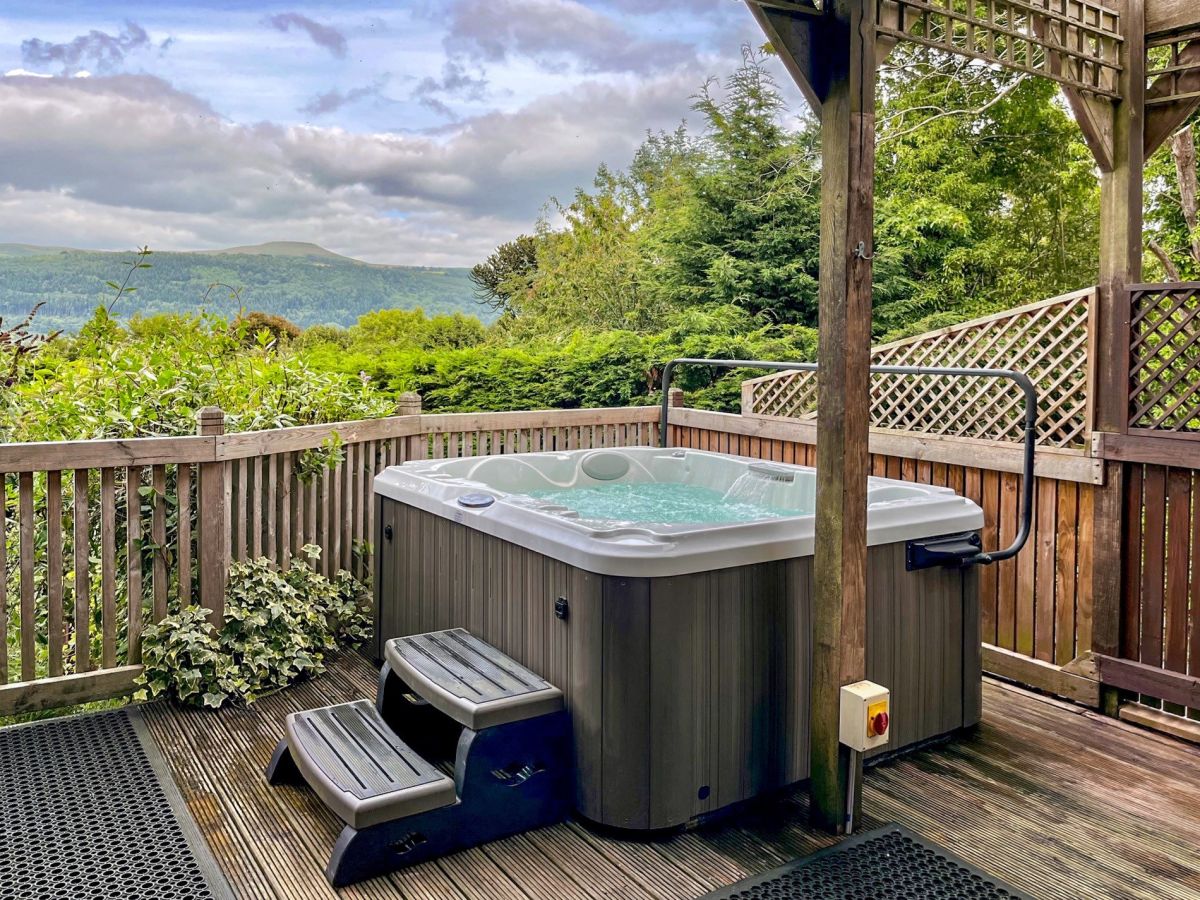
Gilwern, near Abergavenny, South Wales
Little Orchard Retreat
Sleeps 2 · 1 bed
- Hot tub
- Dogs
from £652 / week
Check dates for Little Orchard Retreat (opens the booking site in a new tab)Checked 7 Oct
Distances, ascent and times here are planning figures taken from published sources, not a route description to navigate by. Take a map and check the forecast. We do not publish conditions, because nothing on this page is updated often enough for you to trust it on the day.