Ysgyryd Fawr (the Skirrid) from the B4521
Near Abergavenny, Bannau Brycheiniog
- Distance
- 6.4 km
- Ascent
- 318 m
- Time
- 2 hr
- Difficulty
- Moderate
- Summit
- 486 m
- Shape
- Circular
- Parking
- Paid
- Dogs
- Yes
Start: National Trust car park on the B4521 Abergavenny to Skenfrith road
Grid ref: SO 328164
Ysgyryd Fawr, the Skirrid, is the last outcrop of the Black Mountains, cut off from the main range by the Gavenny Valley, and 486m high on the National Trust’s figure. It lies a mile or so east of Abergavenny, according to Walking Britain, and the Trust gives the name as Welsh for shaking or trembling, after the landslip at the northern end of the ridge, which the Trust says still slides in small mud flows. Local legend ties the slip to the crucifixion, which is how the hill became the Holy Mountain, and the Trust records that its earth was carried away to scatter on fields, on coffins and in church foundations, with pilgrimages to the summit on Michaelmas Eve.
Coflein, the Welsh national inventory, records an oval defended enclosure on the northern summit measuring 201m by 85m, and reads the earthworks along the ridge as an early enclosure of Neolithic or Bronze Age date replaced in the Iron Age by a settlement at the summit. Inside it are the ruins of St Michael’s chapel, used by Roman Catholics after the Reformation; the Trust says services were held until at least 1680, when John Arnold of Llanvihangel Court reported seeing a hundred papists meeting there.
The Trust’s own route leaves the car park on the B4521 at SO 328164, where charges apply, and climbs a gravel track through Pant Skirrid Wood to a gate at the top of the trees. It then contours the hillside before a short climb to the trig point, and returns south along the ridge and down through the wood, 6.4km in about two hours. Walking Britain’s 5.7km variant climbs the south ridge on the Beacons Way and comes down the western flank, with 318m of ascent and a descent it calls rather steeper than the climb. The Trust allows dogs but asks that they stay under close control.
It suits a walker who wants a short, steep hill with a ruin and an ancient enclosure on top. The Trust mentions a scramble up the sheer north face for those who want to test themselves, which is no waymarked path, and the steep descent rules the hill out for anyone who dislikes going down steep ground. A broader track to a summit with a long view is the one up the Trust’s Sugar Loaf, the next mountain west.
Underfoot
A gravel track and steep woodland path to the ridge, then grass and mud paths along the crest to the trig point; the descent is steeper than the climb, and a rougher route scrambles the sheer north face.
Stay within reach of the start
Everything here is inside 12 km of Ysgyryd Fawr (the Skirrid) from the B4521.
Booking links on these earn us a commission. The price you pay is the same either way.
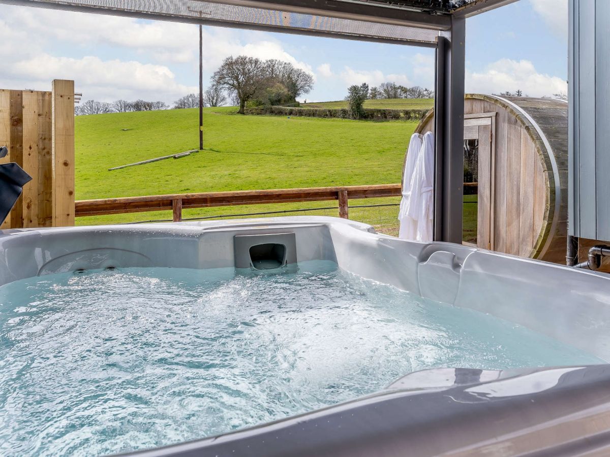
Llanddewi Skirrid, near Abergavenny, South Wales
Finmia Sauna, Hot Tub & Plunge Pool
Sleeps 2 · 1 bed
- Hot tub
- Wood burner
- No dogs
from £797 / week
Check dates for Finmia Sauna, Hot Tub & Plunge Pool (opens the booking site in a new tab)Checked 7 Oct
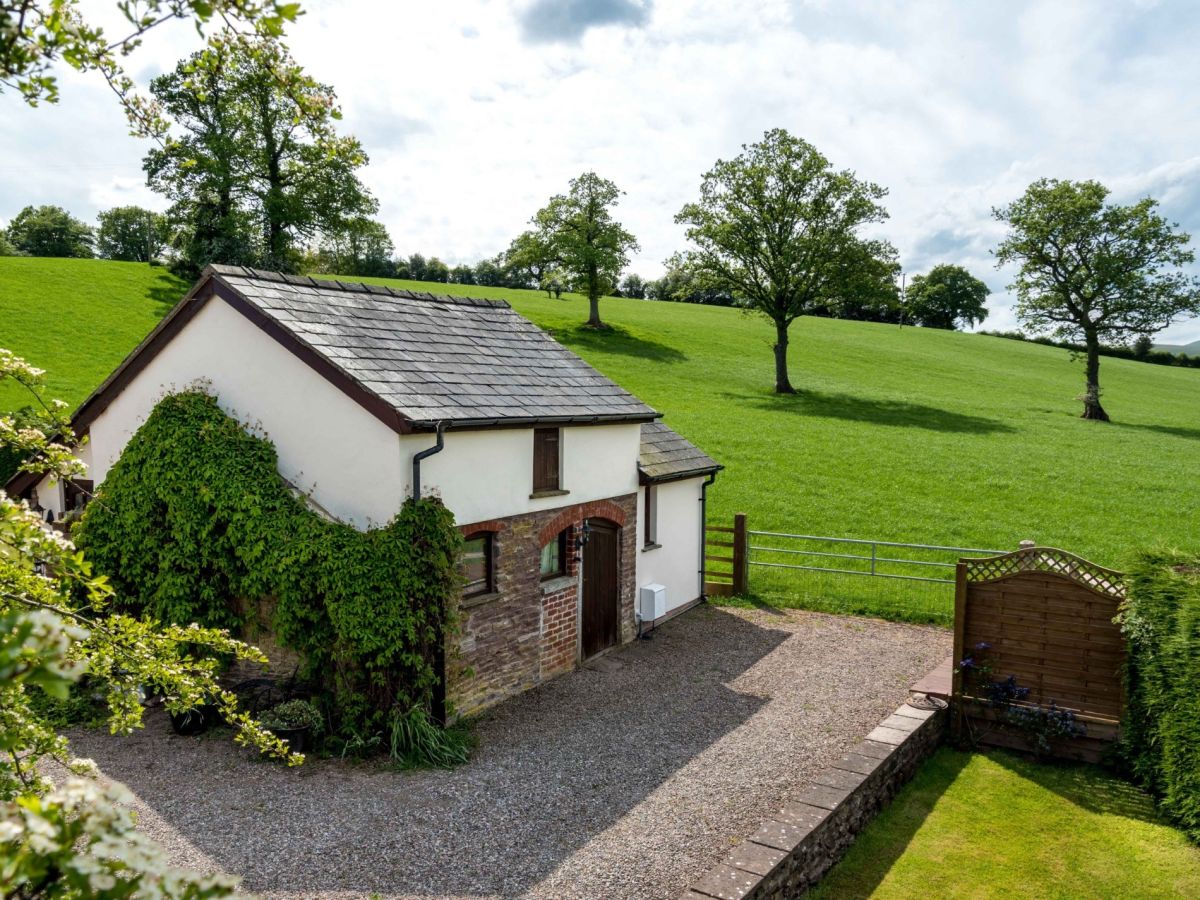
Bryn-y-Gwenin, near Abergavenny, South Wales
Clare's Cottage - Abergavenny
Sleeps 2 · 1 bed
- No dogs
from £530 / week
Check dates for Clare's Cottage - Abergavenny (opens the booking site in a new tab)Checked 7 Oct
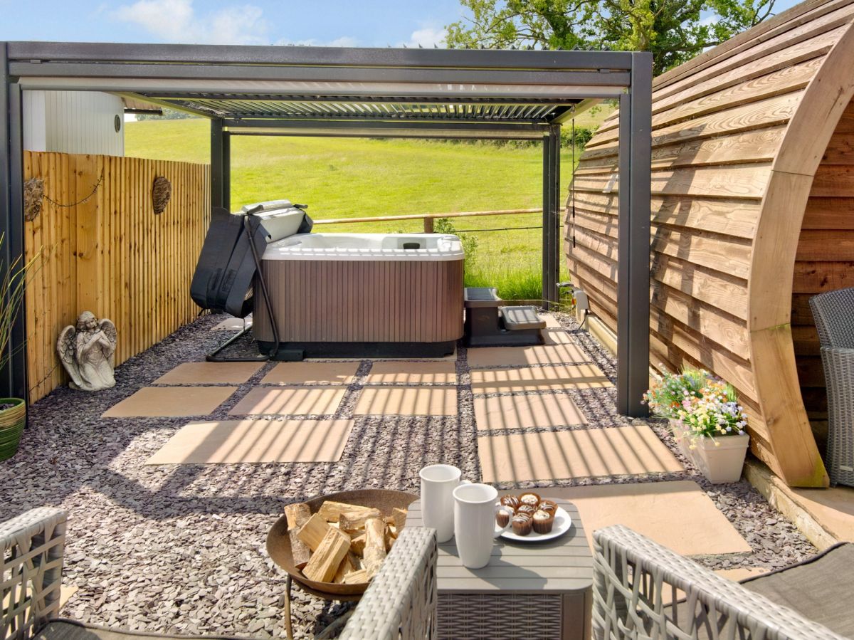
Llanddewi Skirrid, near Abergavenny, South Wales
Skirrid Bolt Hole Sauna & Hot Tub
Sleeps 2 · 1 bed
- Hot tub
- Wood burner
- No dogs
from £671 / week
Check dates for Skirrid Bolt Hole Sauna & Hot Tub (opens the booking site in a new tab)Checked 7 Oct
Llanddewi Skirrid, near Abergavenny, South Wales
Skirrid View Shepherd Hut
Sleeps 2 · 1 bed
- Hot tub
- Wood burner
- No dogs
from £645 / week
Check dates for Skirrid View Shepherd Hut (opens the booking site in a new tab)Checked 7 Oct
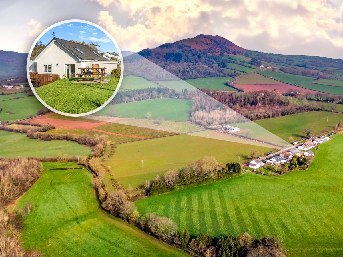
Abergavenny, South Wales
The Ramblers Rest - Llandewi Skirrid
Sleeps 2 · 1 bed
- No dogs
from £464 / week
Check dates for The Ramblers Rest - Llandewi Skirrid (opens the booking site in a new tab)Checked 7 Oct
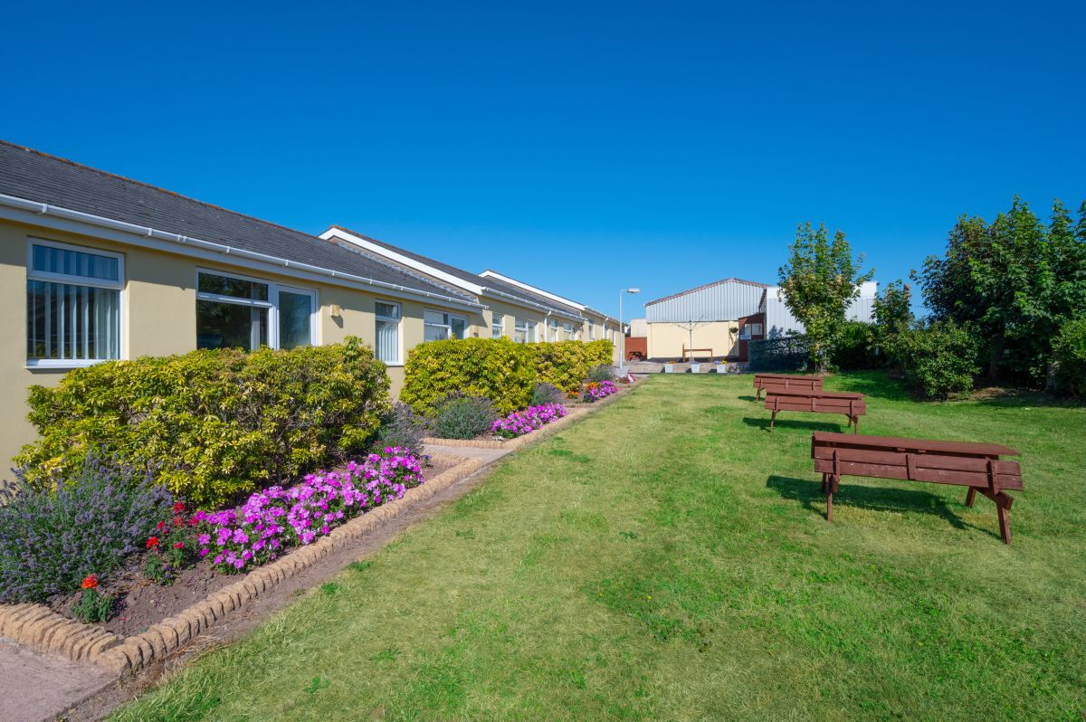
Llantilio Pertholey, near Abergavenny, South Wales
Sugar Loaf Cottage
Sleeps 2 · 1 bed
- No dogs
from £291 / week
Check dates for Sugar Loaf Cottage (opens the booking site in a new tab)Checked 7 Oct
Distances, ascent and times here are planning figures taken from published sources, not a route description to navigate by. Take a map and check the forecast. We do not publish conditions, because nothing on this page is updated often enough for you to trust it on the day.