Sugar Loaf from the National Trust Car Park
A 596m cone-shaped Black Mountains summit above Abergavenny, climbed from a National Trust car park in about two and a half hours.
- 5.7 km
- 273 m up
- 2 hr 30 min
- Moderate
Welsh: Y Fenni
Mainline station, market town, and Sugar Loaf and the Skirrid beyond.
Abergavenny, on the Welsh Marches Line, southeast of the town centre
3
87
Abergavenny, Y Fenni in Welsh, is a Monmouthshire market town built on the site of the Roman fort of Gobannium, at the meeting of the River Usk and the Gavenny, according to Wikipedia. The Bannau Brycheiniog National Park Authority files the town under towns near the park, calls it a gateway, and counts seven hills around it. Wikipedia names Blorenge at 559m, Sugar Loaf at 596m and the Skirrid among them. St Mary’s Priory Church, which the authority dates to the late eleventh century, and a market hall trading on Tuesdays, Fridays and Saturdays are the reasons to stop in town between hills.
Abergavenny is the base for a week that begins and ends on a train. Wikipedia places the station on the Welsh Marches Line from Newport to Hereford, with Transport for Wales trains that typically run hourly each way between Manchester Piccadilly and Cardiff Central on weekday daytimes. Hay-on-Wye’s nearest is Hereford, 21 miles away. The hills are the other half of the case, and they are modest: the National Trust owns both Sugar Loaf at 596m and the Skirrid at 486m, and the two walks listed here run to two and two and a half hours on the published figures. A week of long mountain days belongs elsewhere, at Brecon for Pen y Fan or at Crickhowell for Table Mountain.
Neither hill starts in town. The Trust gives the Skirrid car park on the B4521 as 1.5 miles along that road from the A465 turn, and puts Abergavenny bus station 3 miles and the railway station 4 miles from it. The park authority’s own route up Sugar Loaf starts at the Llanwenarth car park and states that the start is not reachable by public transport; all buses end at Abergavenny bus station. It also describes a longer walk from the town, 9 miles or 14.5km, for anyone arriving by public transport, and the Trust’s advice is the same: park at Fairfield in town and expect a longer walk than the car park route.
The Skirrid can also be walked out of Abergavenny on the Beacons Way, whose first day, the park authority says, runs from the town to Llanthony Priory over the Skirrid and Hatterrall Hill. The Trust also lists the X43 bus from Cardiff to Abergavenny. The Gospel Pass road to Hay-on-Wye leaves the A465 five miles north of the town, so Hay Bluff is a long drive up the Vale of Ewyas and belongs to Hay’s base, not this one.
Abergavenny station is southeast of the town centre, Wikipedia says, and the park authority lists a National Park visitor information point and shop in the town. Dogs are welcome on both hills, with the Trust asking for short leads around livestock on Sugar Loaf and close control on the Skirrid. The Abergavenny Food Festival runs every September, the park authority says, which is worth knowing before choosing dates.
The National Trust recommends parking at Fairfield car park in Abergavenny (NP7 5SG) for the Sugar Loaf, because its own Llanwenarth car park is very small and reached along narrow lanes. The Skirrid has a separate Trust car park on the B4521, where charges apply.
The A40 and the A465 Heads of the Valleys road meet at Abergavenny, and the A465 now runs east of the town centre. The road up the Vale of Ewyas to Llanthony Priory and the Gospel Pass leaves the A465 at Llanvihangel Crucorney, five miles north of the town.
A 596m cone-shaped Black Mountains summit above Abergavenny, climbed from a National Trust car park in about two and a half hours.
A 486m National Trust hill east of Abergavenny, climbed through Pant Skirrid Wood to a ruined chapel and a prehistoric summit enclosure.
A 451m flat-topped hill with an Iron Age hillfort, climbed on foot from Crickhowell by Cwm Cumbeth in about three hours.
Booking links on these earn us a commission. The price you pay is the same either way.
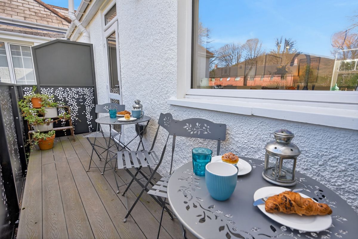
Abergavenny, South Wales
Sleeps 3 · 2 beds
from £607 / week
Check dates for The Old Convent (opens the booking site in a new tab)Checked 7 Oct
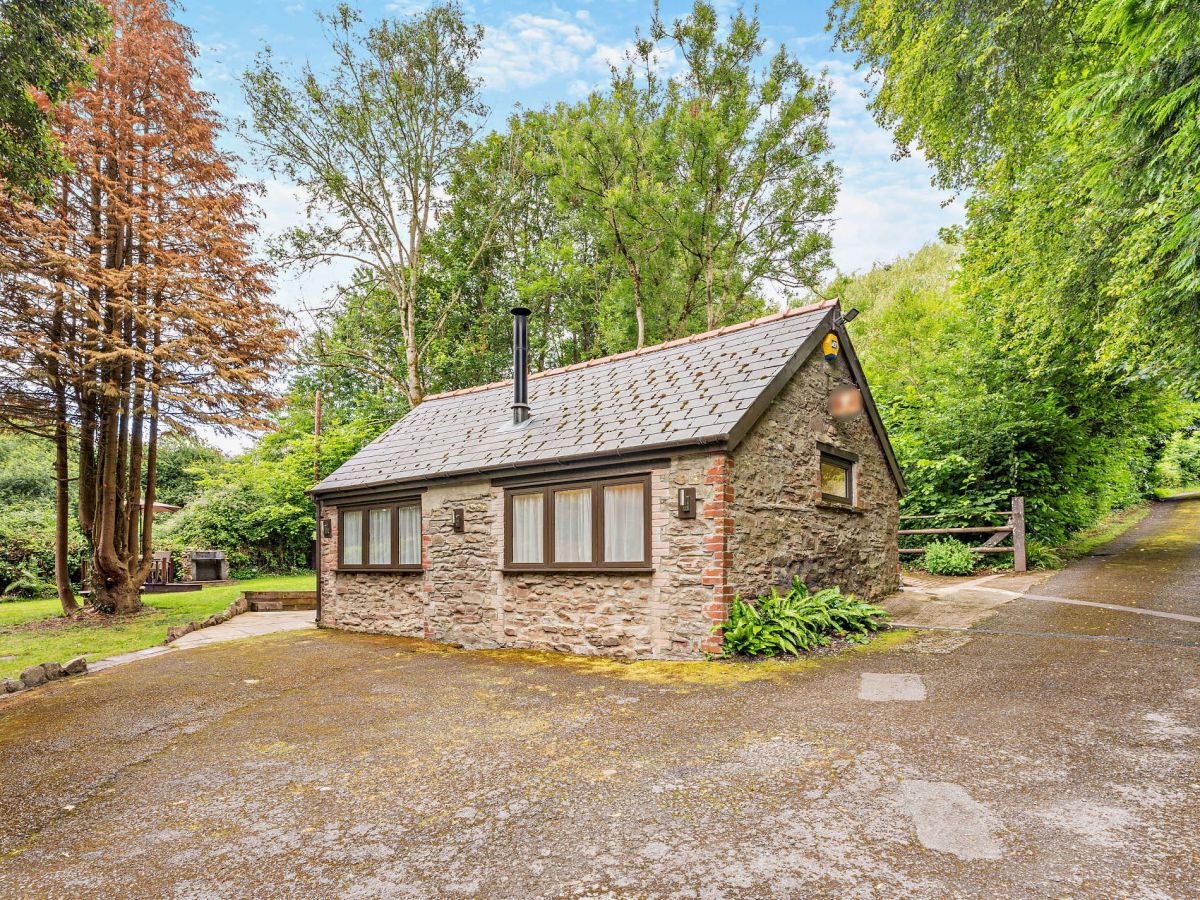
Llanfoist, near Abergavenny, South Wales
Sleeps 8 · 4 beds
from £1,310 / week
Check dates for The Mews House - Llanfoist (opens the booking site in a new tab)Checked 7 Oct
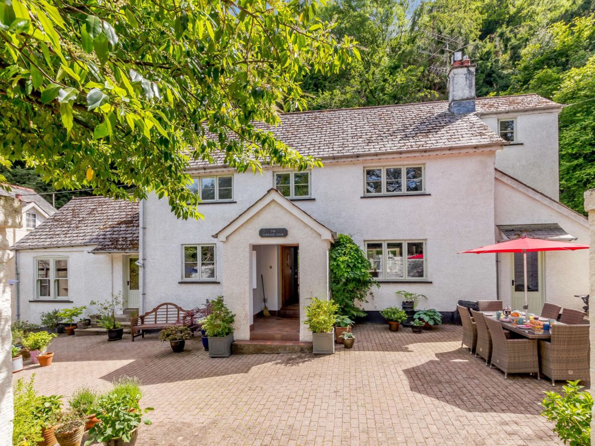
Llwyn Du, near Abergavenny, South Wales
Sleeps 6 · 3 beds
from £745 / week
Check dates for Sugar Loaf Farmhouse (opens the booking site in a new tab)Checked 7 Oct
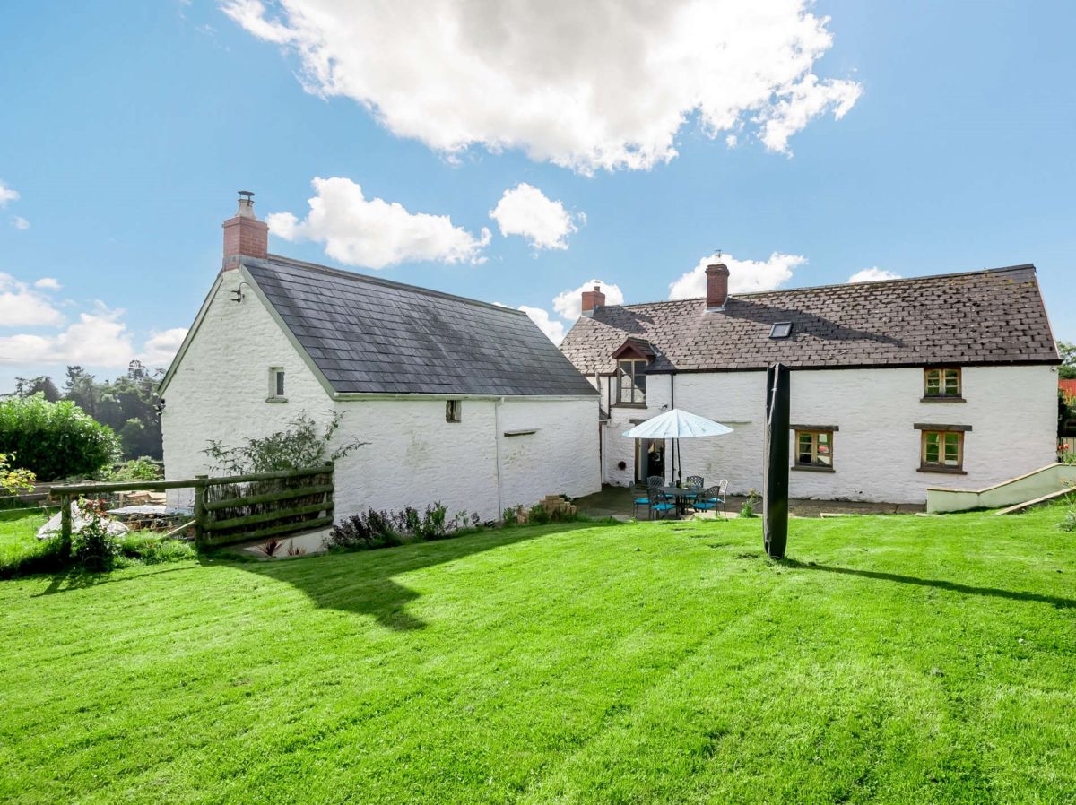
Llantilio Pertholey, near Abergavenny, South Wales
Sleeps 4 · 2 beds
from £482 / week
Check dates for The Old School House Cottage (opens the booking site in a new tab)Checked 7 Oct
Llantilio Pertholey, near Abergavenny, South Wales
Sleeps 2 · 1 bed
from £291 / week
Check dates for Sugar Loaf Cottage (opens the booking site in a new tab)Checked 7 Oct
All 87 near Abergavenny All stays in Bannau Brycheiniog (Brecon Beacons)