Table Mountain and Crug Hywel from Crickhowell
A 451m flat-topped hill with an Iron Age hillfort, climbed on foot from Crickhowell by Cwm Cumbeth in about three hours.
- 7.2 km
- 380 m up
- 3 hr
- Moderate
Welsh: Crucywel
Under Table Mountain, with a hillfort walk from the high street.
Abergavenny
9.9 km
3
113
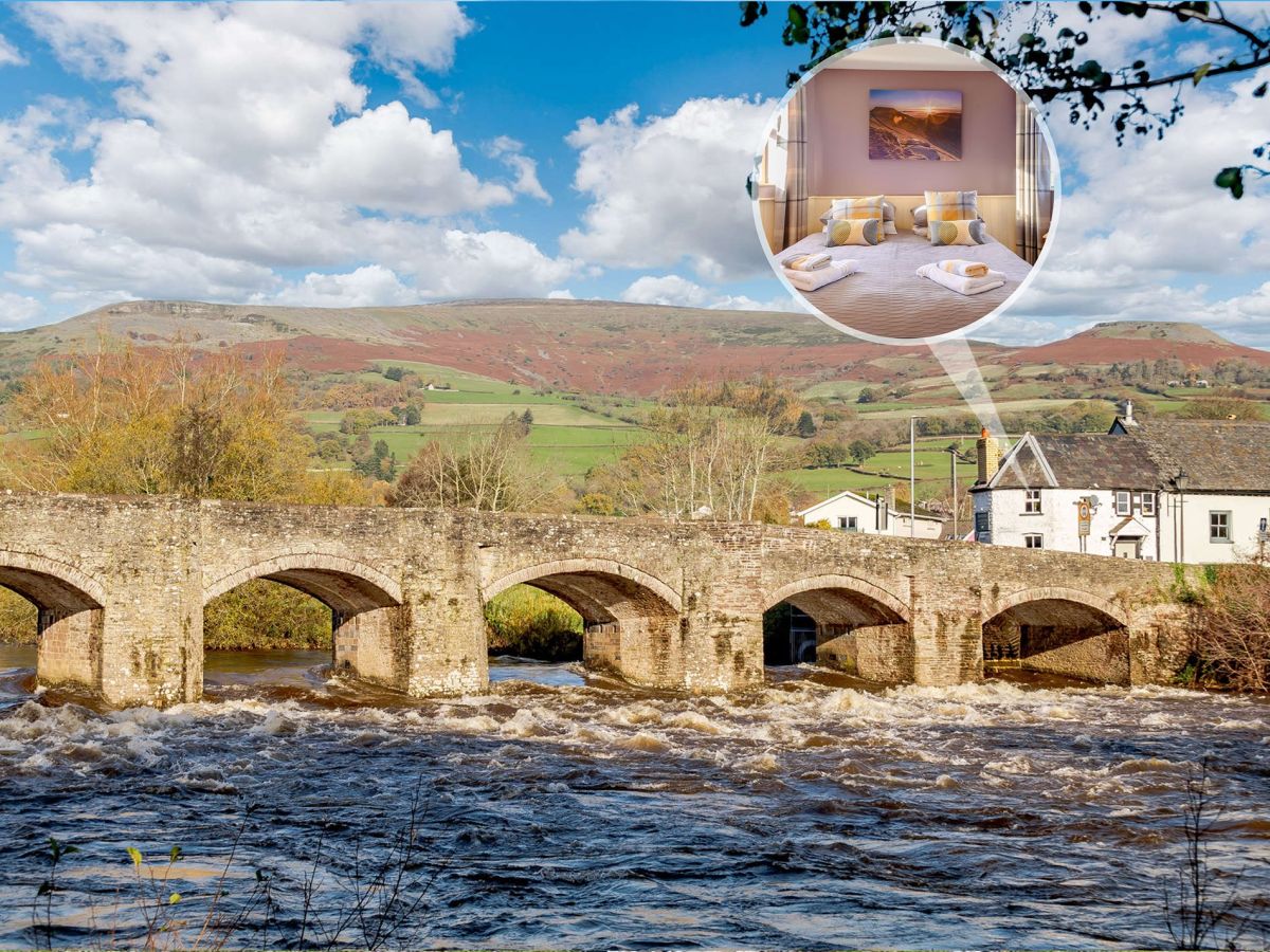
Crickhowell, Crucywel in Welsh, is a town of 2,063 people at the 2011 census on the south bank of the Usk, between Brecon and Abergavenny, according to Wikipedia. Crickhowell Town Council says the name comes from Crug Hywel, Hywel’s mound, which points to the Iron Age fort on Table Mountain above it. The stone bridge over the river has twelve arches on one side and thirteen on the other, and the council dates it to 1706 and gives its length as 120 metres. The castle was a Norman motte and bailey raised by the Turberville family in the twelfth century and, in the council’s account, was destroyed by Owain Glyndŵr in 1403. The Bear Hotel has taken guests since 1432.
Of the bases in Bannau Brycheiniog, Crickhowell is the one where a hill walk starts from the town itself. The Bannau Brycheiniog National Park Authority’s route to Table Mountain leaves the town at SO 218183 and returns to it, so a day on the hill needs no car and no car park. The town is also the shopping street of the east side: in November 2018 it won the overall prize in the Great British High Street Awards, run by the government and sponsored by Visa, on the strength of a Totally Locally campaign that united more than 100 shops and businesses, and gov.uk notes that it has the first zero waste shop in Wales. The honest limit is range. Only two walks on this site start within a short drive of it, and the park’s highest summit is about 14 miles away in a straight line.
Table Mountain is the on-foot day. The park authority gives 7.2km, 380m of ascent and about three hours for its circular route, grades it 4 for narrow sections, steep gradients, muddy and stony surfaces and no seats, and warns of narrow gates or stiles. Coflein, the Welsh national inventory, places the hillfort 2.3km north-north-east of the town.
Sugar Loaf needs a car. The National Trust car park from which Walking Britain and the park authority start it, at SO 268167, is reached by a narrow lane from the A40 west of Abergavenny, about three miles east of Crickhowell in a straight line. Walking Britain gives 5.7km and 273m of ascent for the short out-and-back, on a clear wide track. Pen y Fan and the Four Falls Trail are both beyond Brecon or Talybont: the first is about 14 miles away in a straight line and the second about 18, so they are separate drives and not part of a Crickhowell week.
Abergavenny, about 10km away in a straight line, is the nearest station, and the park authority gives it hourly direct trains on the Cardiff to Manchester line. Visit Wales describes the 43 as an hourly bus between Abergavenny and Brecon that turns off the A40 at Crickhowell and runs on through Llangattock, Llangynidr and Talybont-on-Usk; it also names a direct X43 service. Timetables change, so check Williams Coaches or Traveline Cymru.
Powys County Council lists one pay and display car park in Crickhowell, in Beaufort Street, and the Table Mountain route starts in the town, so it is the natural place to leave a car for that walk. Wikipedia records that the Green Man Festival takes place annually in mid-August at nearby Glanusk Park, which is worth checking before choosing dates.
Powys County Council lists one pay and display car park in Crickhowell, in Beaufort Street, with disabled spaces.
The A40 runs through the Usk valley between Abergavenny and Brecon,, and Wikipedia places Crickhowell Castle on a green mound back from it.
A 451m flat-topped hill with an Iron Age hillfort, climbed on foot from Crickhowell by Cwm Cumbeth in about three hours.
A 596m cone-shaped Black Mountains summit above Abergavenny, climbed from a National Trust car park in about two and a half hours.
A 486m National Trust hill east of Abergavenny, climbed through Pant Skirrid Wood to a ruined chapel and a prehistoric summit enclosure.
Booking links on these earn us a commission. The price you pay is the same either way.
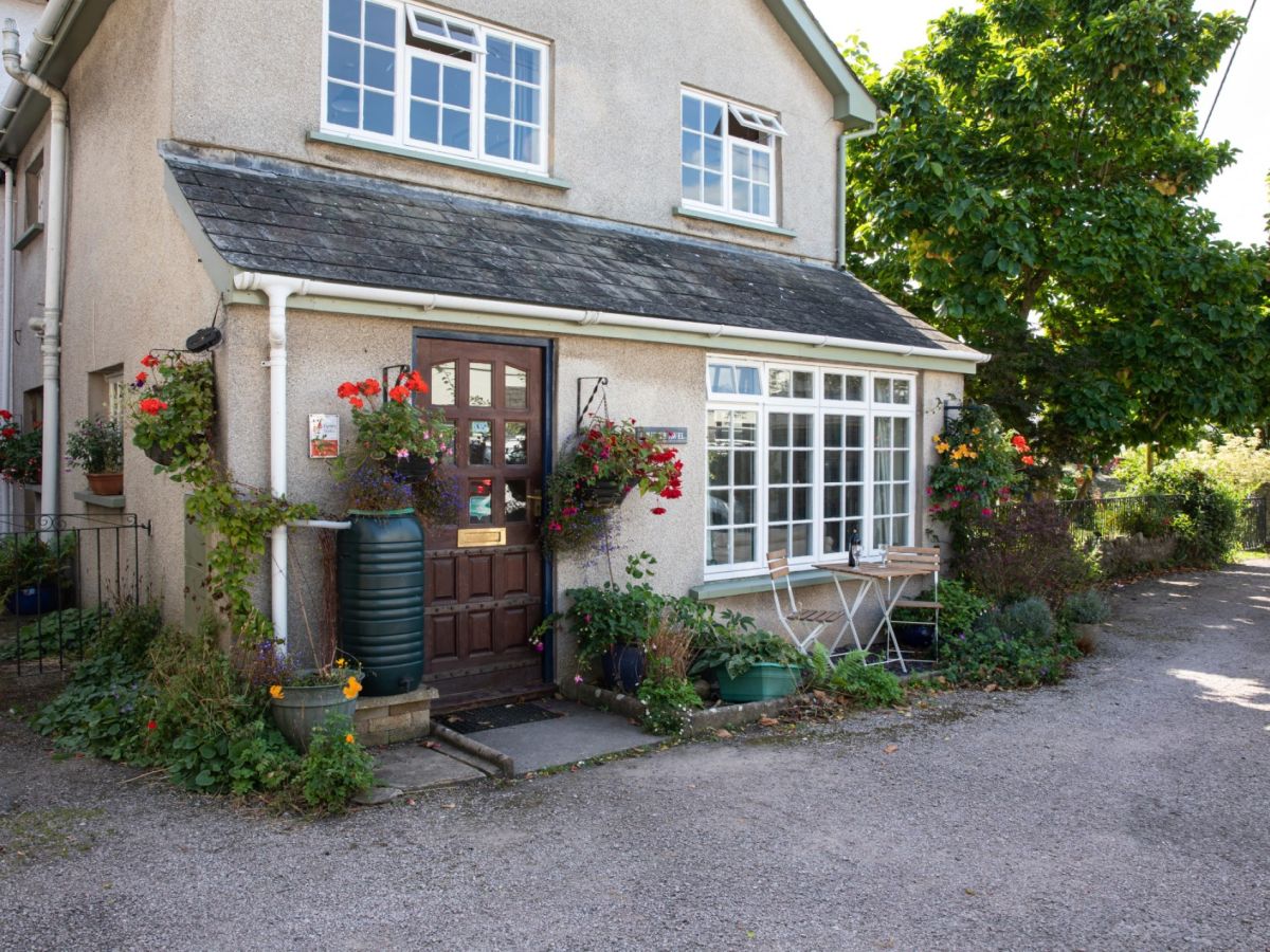
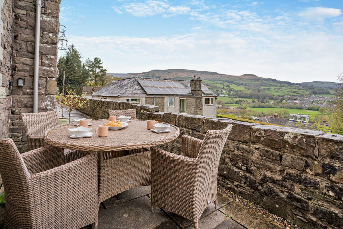
Crickhowell, Mid Wales
Sleeps 4 · 2 beds
from £516 / week
Check dates for Crud-yr-awel - Crickhowell Town (opens the booking site in a new tab)Checked 7 Oct
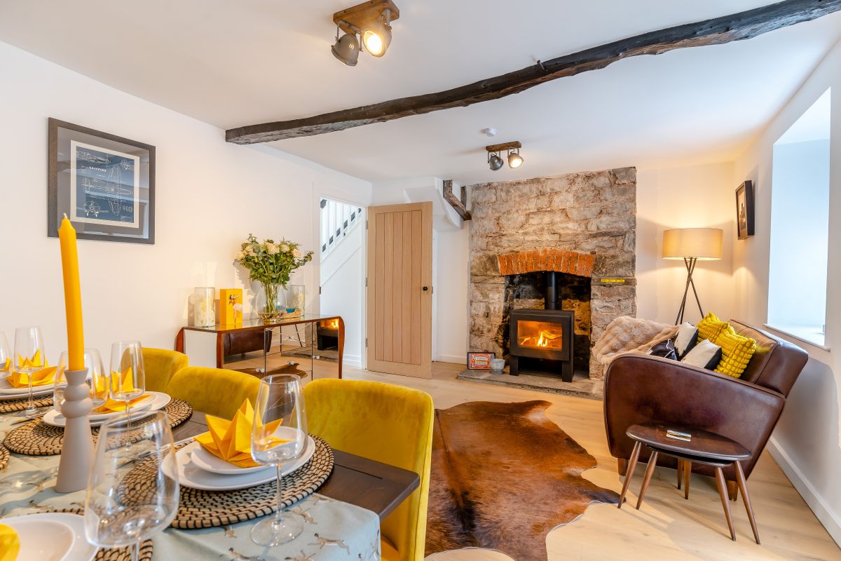
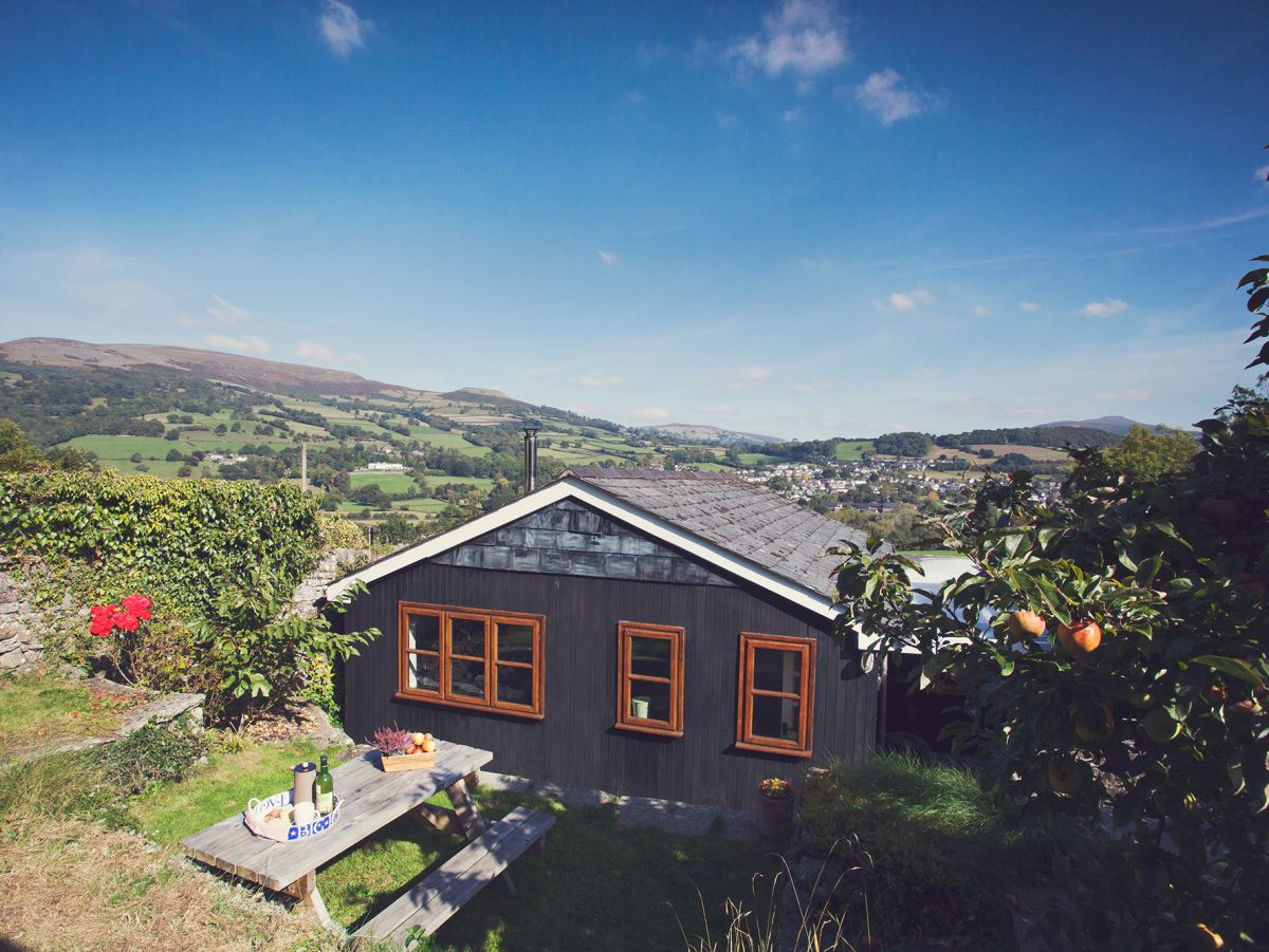
Crickhowell, Mid Wales
Sleeps 6 · 3 beds
from £776 / week
Check dates for Rose Cottage - Crickhowell (opens the booking site in a new tab)Checked 7 Oct
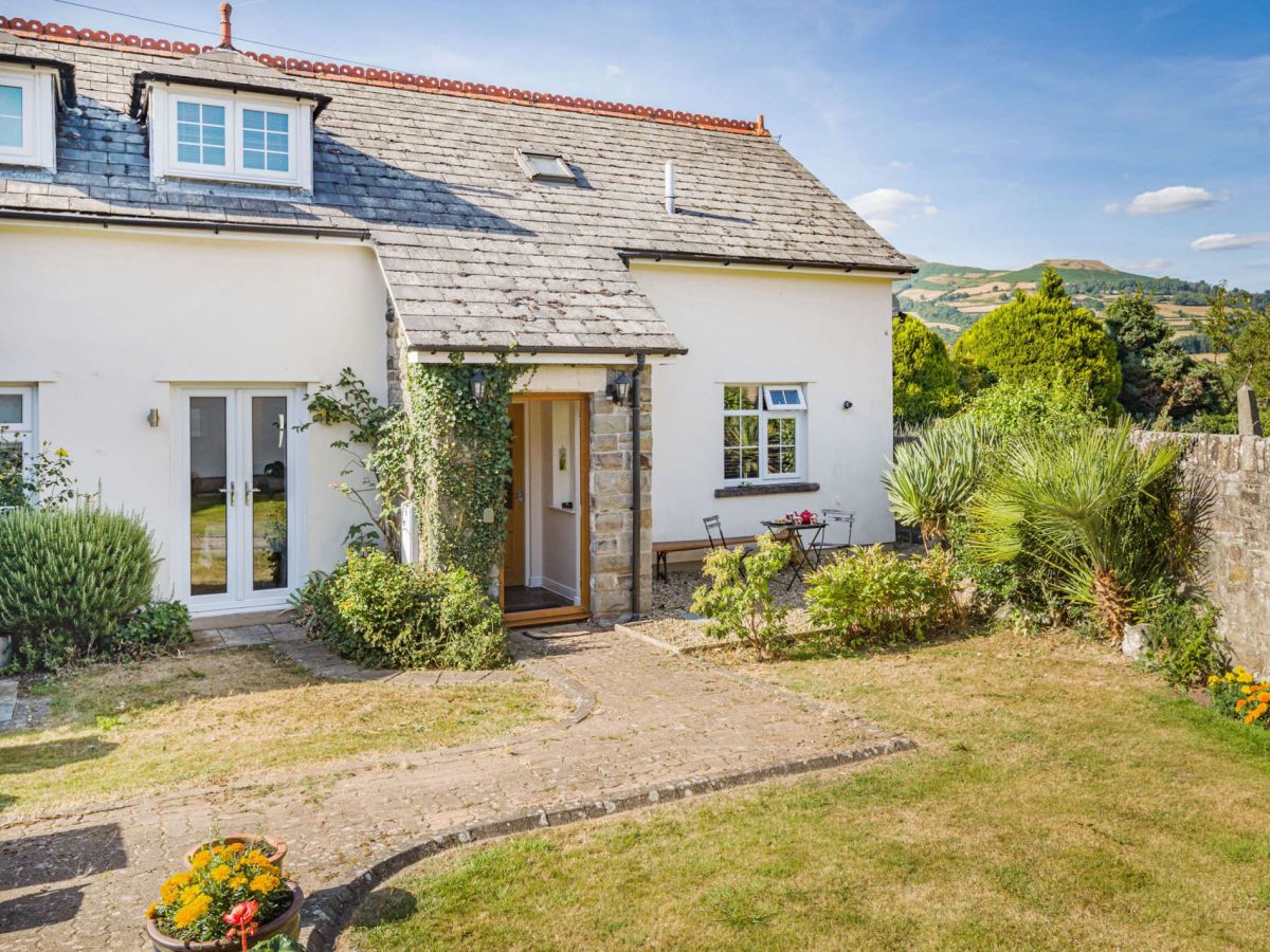
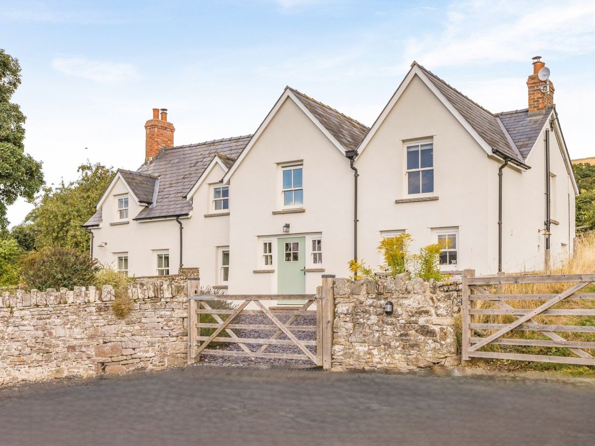
Crickhowell, Mid Wales
Sleeps 4 · 2 beds
from £601 / week
Check dates for The Old Toll House (opens the booking site in a new tab)Checked 7 Oct
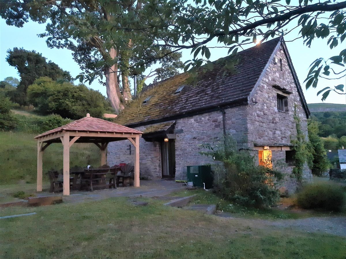
Llangattock, near Crickhowell, Mid Wales
Sleeps 4 · 2 beds
from £668 / week
Check dates for Table Mountain View (opens the booking site in a new tab)Checked 7 Oct
The Dardy, near Crickhowell, Mid Wales
Sleeps 4 · 2 beds
from £732 / week
Check dates for Canal Boat Cottage (opens the booking site in a new tab)Checked 7 Oct
Crickhowell, Mid Wales
Sleeps 10 · 5 beds
from £1,857 / week
Check dates for The Wern - Crickhowell (opens the booking site in a new tab)Checked 7 Oct
All 113 near Crickhowell All stays in Bannau Brycheiniog (Brecon Beacons)