Pen y Fan from Pont ar Daf
The highest mountain in southern Britain at 886m, climbed with Corn Du from the National Trust's Pont ar Daf car park by a stone-pitched path.
- 6.4 km
- 450 m up
- 3 hr 30 min
- Moderate
Welsh: Aberhonddu
Market town on the Usk, with Pen y Fan eight miles south.
Merthyr Tydfil, with the T4 bus onward to Brecon; Abergavenny is the other station in range, with the 43 bus along the Usk valley
22.4 km
4
116
Brecon is a market town in the Usk valley, at the point where the Honddu and the Tarell join the river, and its Welsh name, Aberhonddu, means the mouth of the Honddu. Wikipedia records a population of 8,250 at the 2011 census. The Norman castle was begun by Bernard de Neufmarché in the late eleventh century, the cathedral church began as a Benedictine priory in 1093 and became a cathedral in 1923, and the Monmouthshire and Brecon Canal, built between 1797 and 1812, ends in a basin below the town beside Theatr Brycheiniog.
The honest case is that Brecon is the largest town in Bannau Brycheiniog, with the shops and places to eat that go with it, and that it is the nearest base to the highest ground in southern Britain. The National Trust gives Pen y Fan at 886m, and its usual car park, Pont ar Daf, is eight miles south of the town on the A470. The case against is the railway. Wikipedia dates the closure of the Hereford, Hay and Brecon line to 1962, so Brecon has had no station since, and a week here assumes either a car or a patient reading of the bus timetable. Two of the park’s other bases suit particular days better: Talybont-on-Usk for the Neuadd valley and Fan y Big, and Crickhowell for Table Mountain.
None of the three walks listed here starts in the town, and one of them is a different journey altogether. Pen y Fan starts at Pont ar Daf, eight miles south of Brecon, where the National Trust charges for parking around the clock and describes spaces as limited; the Ramblers record that the T4 bus stops at Storey Arms, a mile north of the car park. Check the current T4 timetable before building a car-free day on that stop.
The Four Falls Trail starts at Gwaun Hepste, near Ystradfellte, about 12 miles south-west of the town in a straight line and further by the lanes. Visit Wales says the two car parks serving it are small and often full before midday. Llyn y Fan Fach is the long drive: its car park, about 2km east of Llanddeusant, lies roughly 16 miles west of Brecon in a straight line, the last stretch is a rough track according to a route published in The Times, and the nearest station that route names is Llangadog. Anyone whose main plan is that lake would sleep nearer to it, but this site lists no base there.
Merthyr Tydfil is the nearer station and Abergavenny the other, and the park authority gives Abergavenny hourly direct trains on the Cardiff to Manchester line and Merthyr trains from Cardiff and Pontypridd every half hour. Transport for Wales announced in 2025 that the T4 TrawsCymru service, run by Celtic Travel with Williams Coaches of Brecon, would call hourly between Brecon and Merthyr Tydfil Monday to Saturday and every two hours between Newtown and Brecon; the section on to Cardiff passed to the Stagecoach X4. The park authority also lists the T6 from Swansea. Visit Wales describes the 43 as an hourly bus down the Usk valley through Talybont-on-Usk and Crickhowell to Abergavenny. Timetables change, so check Traveline Cymru before relying on any of them.
The Brecon Beacons Mountain Centre at Libanus, 8km south-west of the town, is run by the national park authority, with a shop selling maps, a cafeteria, free entry and a pay and display car park, according to Wikipedia.
Powys County Council lists twelve car parks in Brecon, of which Market Street and Watton are long stay and George Street, Inner Viaduct and Y Gaer are short stay (two hours).
The A470 runs south from the town to the Pont ar Daf car park for Pen y Fan, and the A40 links Brecon with Crickhowell and Abergavenny.
The highest mountain in southern Britain at 886m, climbed with Corn Du from the National Trust's Pont ar Daf car park by a stone-pitched path.
A waymarked 8km circuit past four waterfalls on the Mellte and Hepste near Ystradfellte, ending behind Sgwd yr Eira, in three to four hours.
A glacial lake beneath the Carmarthen Fans, dammed by conscientious objectors in the First World War, walked with the Picws Du ridge from Llanddeusant.
The 719m last summit of the Beacons horseshoe, with its diving board rock, reached from the Taf Fechan Forest below the Upper Neuadd Reservoir.
Booking links on these earn us a commission. The price you pay is the same either way.
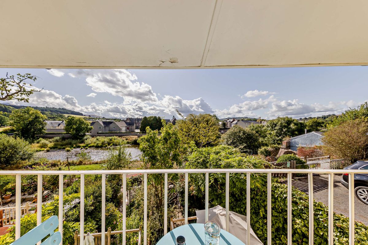
Brecon, Mid Wales
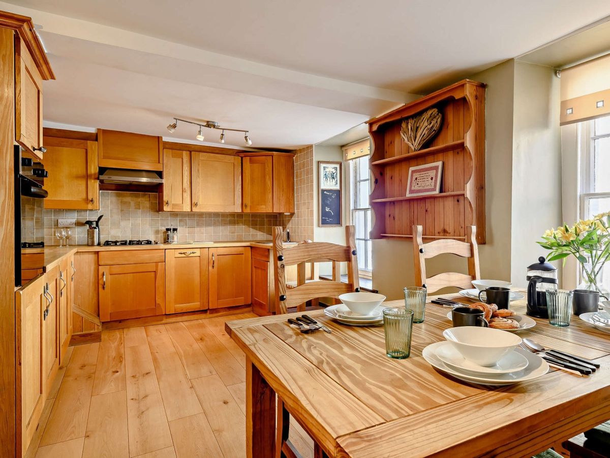
Sleeps 4 · 2 beds
from £678 / week
Check dates for The Stables - Brecon Town (opens the booking site in a new tab)Checked 7 Oct
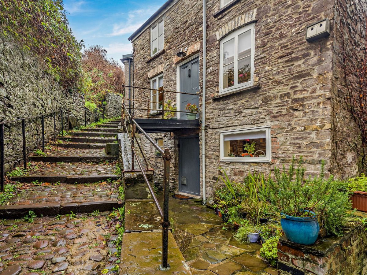
Brecon, Mid Wales
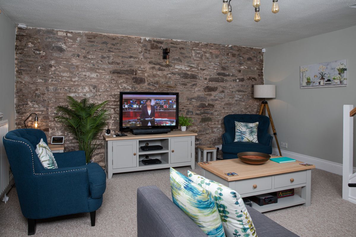
Sleeps 4 · 2 beds
from £607 / week
Check dates for Ty Melyn Brecon (opens the booking site in a new tab)Checked 7 Oct
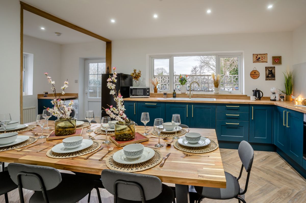
Brecon, Mid Wales
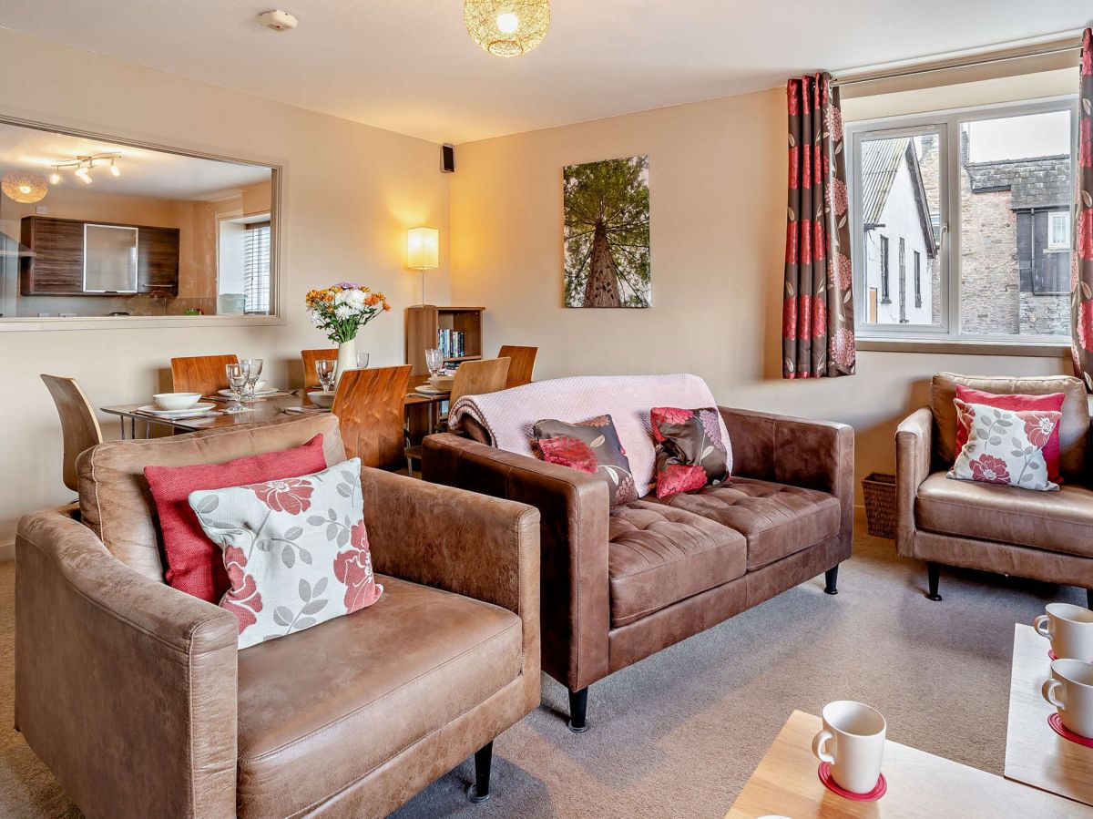
Sleeps 4 · 2 beds
from £571 / week
Check dates for King Charles Cottage (opens the booking site in a new tab)Checked 7 Oct
All 116 near Brecon All stays in Bannau Brycheiniog (Brecon Beacons)