Fan y Big from the Upper Neuadd Reservoir
Near Talybont-on-Usk, Bannau Brycheiniog
- Distance
- 17.4 km
- Ascent
- 848 m
- Time
- 7 hr
- Difficulty
- Hard
- Summit
- 719 m
- Shape
- Circular
- Dogs
- Yes
Start: Car park on the lane towards the Upper Neuadd Reservoir in Taf Fechan Forest, north of Merthyr Tydfil
Grid ref: SO 035173
Fan y Big is the lowest of the four summits on the Beacons horseshoe, at 719m by the figure Visit Wales and the Ramblers both give, and the one with the rock known as the diving board. The Neuadd valley is the quieter way in. Fforest Fawr Geopark records that the Upper Neuadd Reservoir was built between 1896 and 1902, with limestone brought in on the temporary railway from Torpantau halt that had served the Lower Neuadd dam of 1884, and that at 459m above sea level it is the highest reservoir in the national park. Talybont-on-Usk is the nearest base, and the National Trust directs drivers from the village along the reservoir road and up a steep wooded hill to the second Forestry Commission car park.
Walking Britain starts its four-summit round at SO 035 173, from where a lane runs north to the Filter House and across the abandoned dam wall. A steep path reaches the edge beside the 642m trig point, and the escarpment carries the route over Graig Fan Ddu to Corn Du, Pen y Fan at 886m and Cribyn. At Bwlch ar y Fan, the gap beyond Cribyn, the National Trust describes the Gap road as the first track to carry horse-drawn carriages over the range, thought to be Roman though no archaeological evidence has been found. Walking Britain offers it as the way back to the car park for anyone out of energy, and counts the climb on to Fan y Big, about 120m, as the last major ascent of the day. From the summit the Beacons Way follows the edge south and drops east of Craig y Fan Ddu to the forest.
Walking Britain gives the full circuit as 17.4km with 848m of ascent, grading it moderate to hard; the Ramblers and Visit Wales give the horseshoe as 16km, graded challenging and hard. The National Trust advises a map and compass, waterproofs, a whistle and a torch, welcomes dogs on leads, and calls parking limited.
The round suits a walker with a full day, a tolerance for steep descents and a map they can read. It is not a walk for anyone short of daylight or for children who tire quickly, because Walking Britain describes steep ascents and descents between the summits. Pen y Fan from Pont ar Daf reaches the highest of them in 6.4km and about 450m of ascent.
Underfoot
Steep climbs and descents on made and unmade paths along a long escarpment edge, with boggy stretches where peat is exposed; open mountain throughout, with no shelter.
Stay within reach of the start
Everything here is inside 12 km of Fan y Big from the Upper Neuadd Reservoir.
Booking links on these earn us a commission. The price you pay is the same either way.
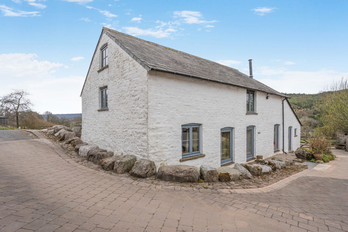
Cwmtaf, near Merthyr Tydfil, South Wales
Brecon Beacons Barn
Sleeps 10 · 3 beds
- Wood burner
- No dogs
from £1,095 / week
Check dates for Brecon Beacons Barn (opens the booking site in a new tab)Checked 7 Oct
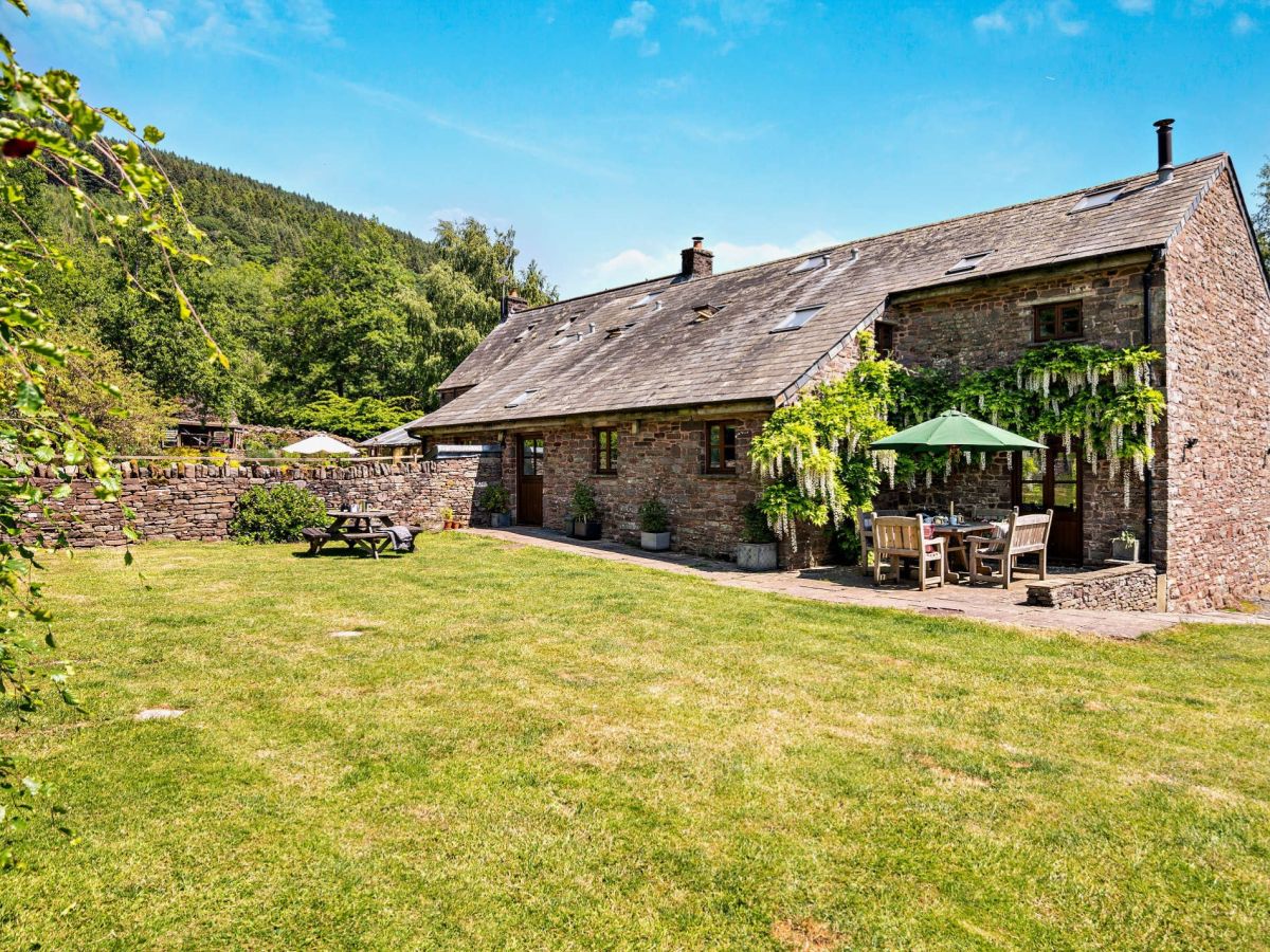
Talybont-on-Usk, near Brecon, Mid Wales
Upper Caerfanell Barn
Sleeps 10 · 4 beds
- Wood burner
- Dogs
from £1,470 / week
Check dates for Upper Caerfanell Barn (opens the booking site in a new tab)Checked 7 Oct
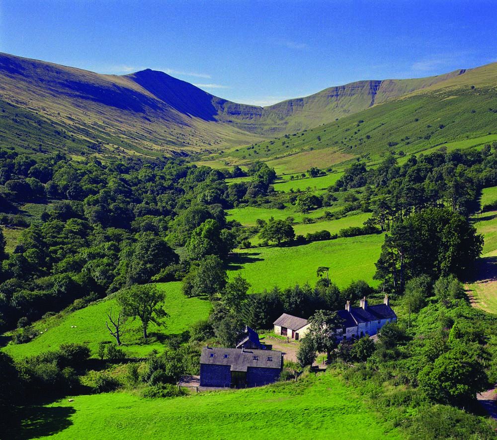
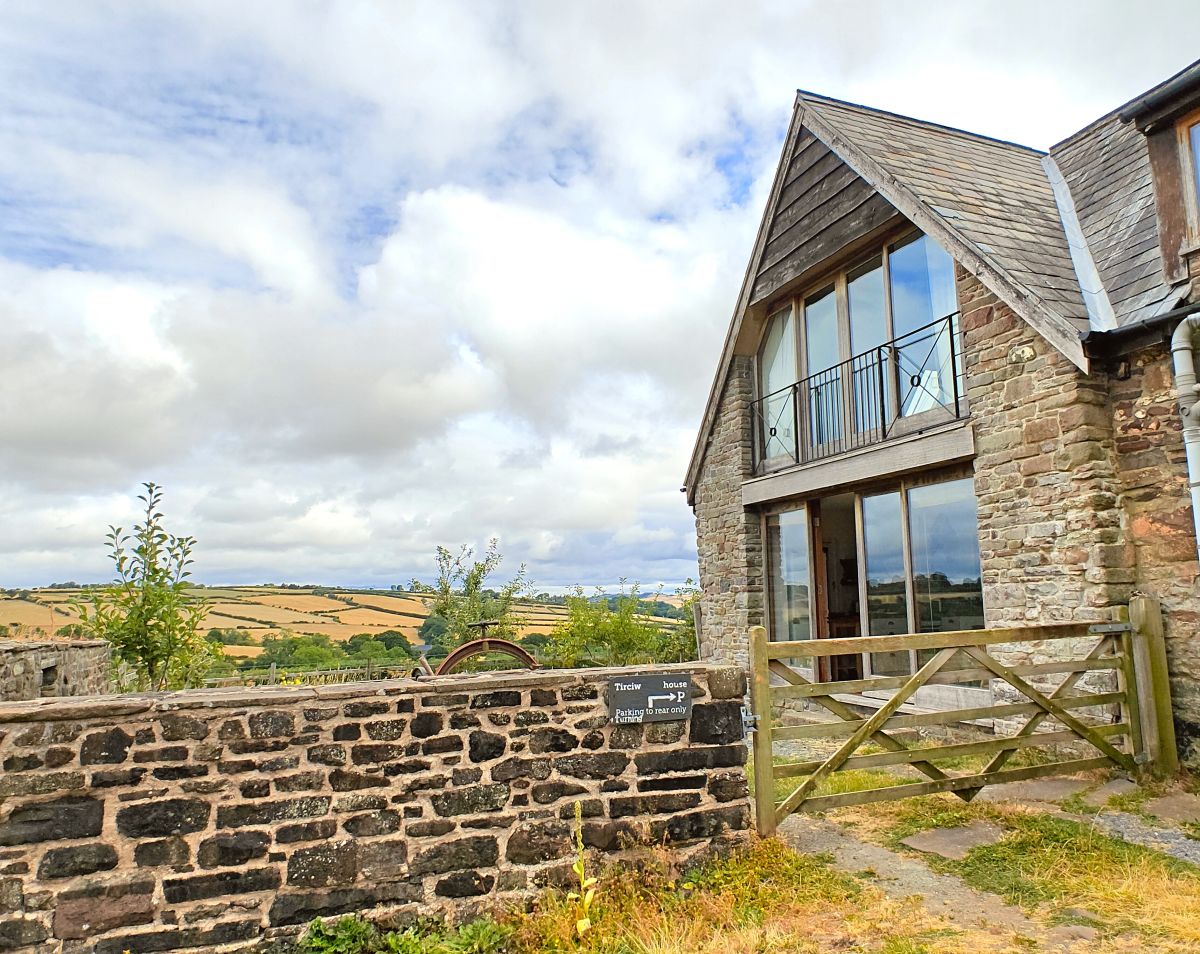
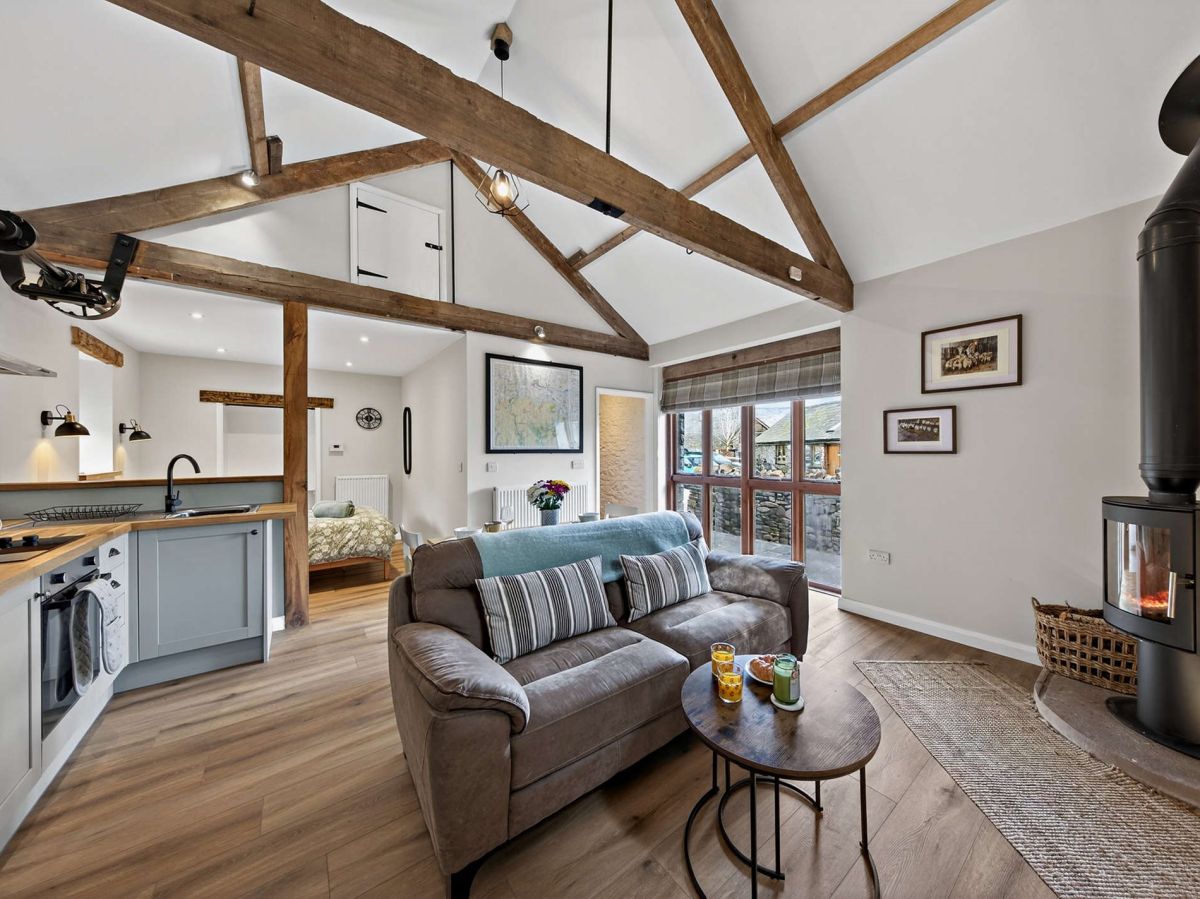
Brecon, Mid Wales
Beacons View Cottage
Sleeps 2 · 1 bed
- Wood burner
- No dogs
from £504 / week
Check dates for Beacons View Cottage (opens the booking site in a new tab)Checked 7 Oct
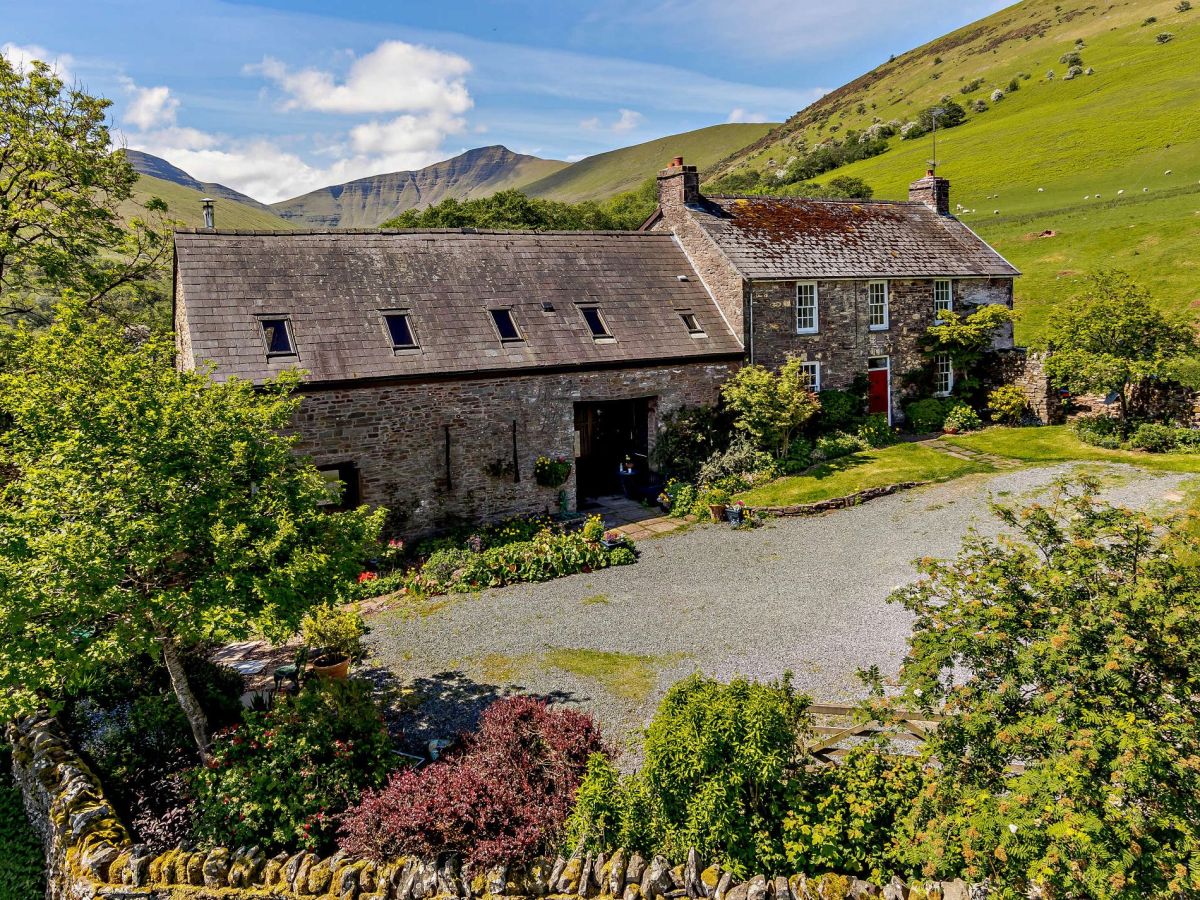
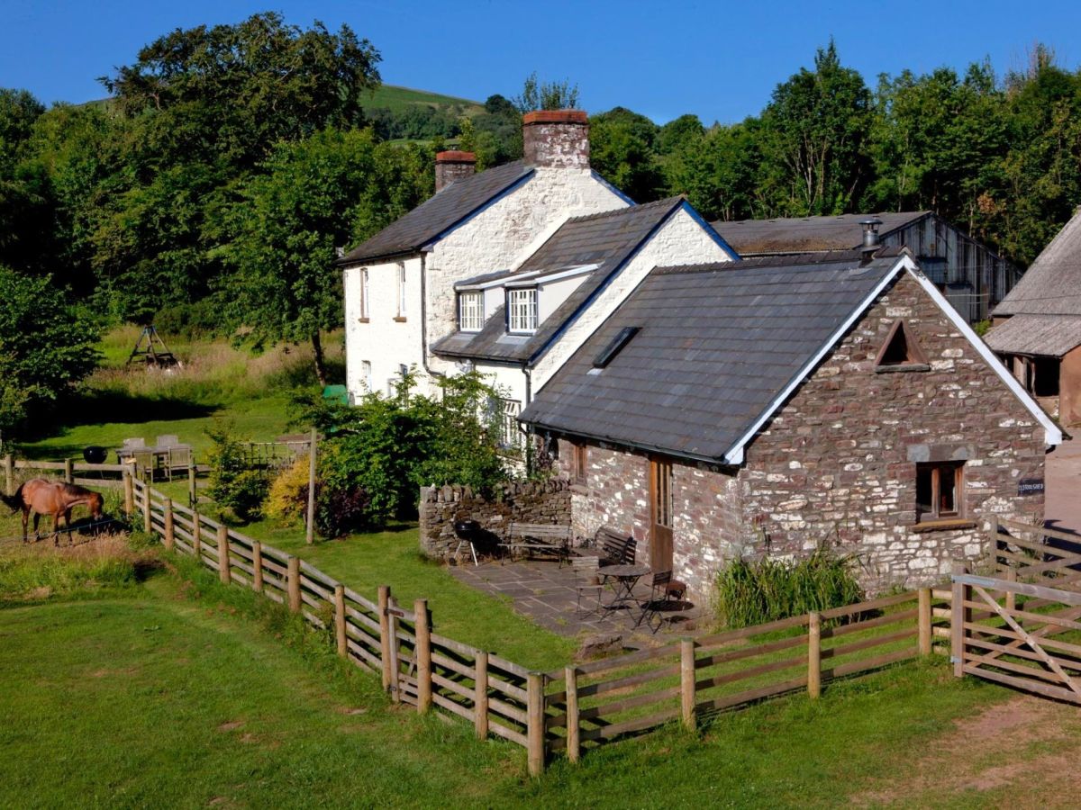
Cantref, near Brecon, Mid Wales
The Old Toolshed
Sleeps 2 · 1 bed
- Wood burner
- Dogs
from £403 / week
Check dates for The Old Toolshed (opens the booking site in a new tab)Checked 7 Oct
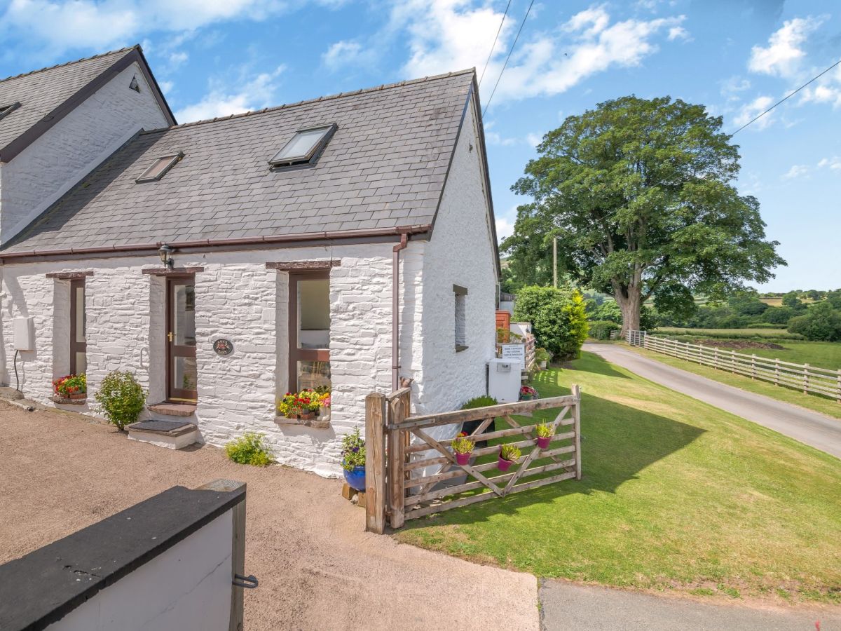
Distances, ascent and times here are planning figures taken from published sources, not a route description to navigate by. Take a map and check the forecast. We do not publish conditions, because nothing on this page is updated often enough for you to trust it on the day.