Table Mountain and Crug Hywel from Crickhowell
Near Crickhowell, Bannau Brycheiniog
- Distance
- 7.2 km
- Ascent
- 380 m
- Time
- 3 hr
- Difficulty
- Moderate
- Summit
- 451 m
- Shape
- Circular
Start: Crickhowell, at the start of the Bannau Brycheiniog National Park Authority's Crickhowell to Table Mountain route
Grid ref: SO 218183
Table Mountain is the flat-topped hill above Crickhowell, and its Welsh name, Crug Hywel, is where the town’s name comes from: the Bannau Brycheiniog National Park Authority translates it as Hywel’s fort, after the Iron Age hillfort that crowns it. Coflein, the Welsh national inventory, describes a small pear-shaped plateau with steep rock edges, 2.3km north-north-east of the town and between 437m and 451m above Ordnance Datum. It is a southern spur of Pen Cerrig Calch, which rises to 701m 1.7km to the north-west.
The fort is the reason to climb it. Coflein, quoting the Royal Commission’s 1986 survey, records an interior of 162m by 59m ringed by a stone wall above a steep, scree-masked scarp 7m to 8m high, a single entrance on the east where the ramparts turn inward, and four shallow oval depressions that are probably hut sites. The survey called the plateau an ideal temporary refuge; a note added in 2025 by the archaeologist Toby Driver says nothing rules out a permanently occupied settlement.
The park authority’s circular route leaves the town at SO 218183, follows a tree-lined path up beside Cumbeth Brook onto open hillside, and then runs along the mountain wall to the back of the hillfort. Walking Britain takes the Beacons Way for about 2.5km up Cwm Cumbeth and a further kilometre to the summit area, and measures its own 8.1km loop at 364m of ascent. The authority gives 7.2km, 380m of ascent and about three hours, and grades it 4, its category for routes with narrow sections, steep gradients or muddy and stony surfaces, narrow gates or stiles, and no seats.
It suits a walker who wants a hillfort and a view back over the Usk valley in half a day, starting from the town rather than a mountain car park. A stile-free path is not on offer here, so anyone who needs one should look elsewhere, and so should anyone who wants a wide track underfoot all the way up. The clear wide track to the summit of Sugar Loaf, which Walking Britain describes from a car park high on the hill, is the nearer thing to that.
Underfoot
A tree-lined path beside Cumbeth Brook, then open hillside and a track along the mountain wall; the park authority describes narrow sections, steep gradients, muddy and stony surfaces, narrow gates or stiles and no seats.
Stay within reach of the start
Everything here is inside 12 km of Table Mountain and Crug Hywel from Crickhowell.
Booking links on these earn us a commission. The price you pay is the same either way.
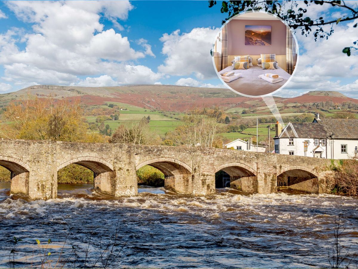
Crickhowell, Mid Wales
The Old Toll House
Sleeps 4 · 2 beds
- Wood burner
- Dogs
from £601 / week
Check dates for The Old Toll House (opens the booking site in a new tab)Checked 7 Oct
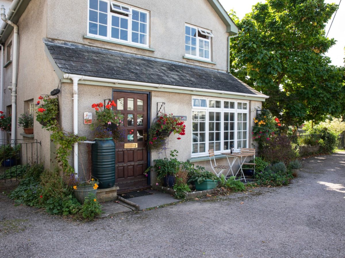
Crickhowell, Mid Wales
Crud-yr-awel - Crickhowell Town
Sleeps 4 · 2 beds
- Dogs
from £516 / week
Check dates for Crud-yr-awel - Crickhowell Town (opens the booking site in a new tab)Checked 7 Oct
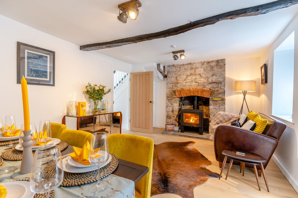
Crickhowell, Mid Wales
Rose Cottage - Crickhowell
Sleeps 6 · 3 beds
- Wood burner
- Dogs
from £776 / week
Check dates for Rose Cottage - Crickhowell (opens the booking site in a new tab)Checked 7 Oct
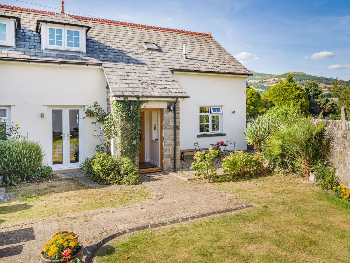
Llangattock, near Crickhowell, Mid Wales
Table Mountain View
Sleeps 4 · 2 beds
- No dogs
from £668 / week
Check dates for Table Mountain View (opens the booking site in a new tab)Checked 7 Oct
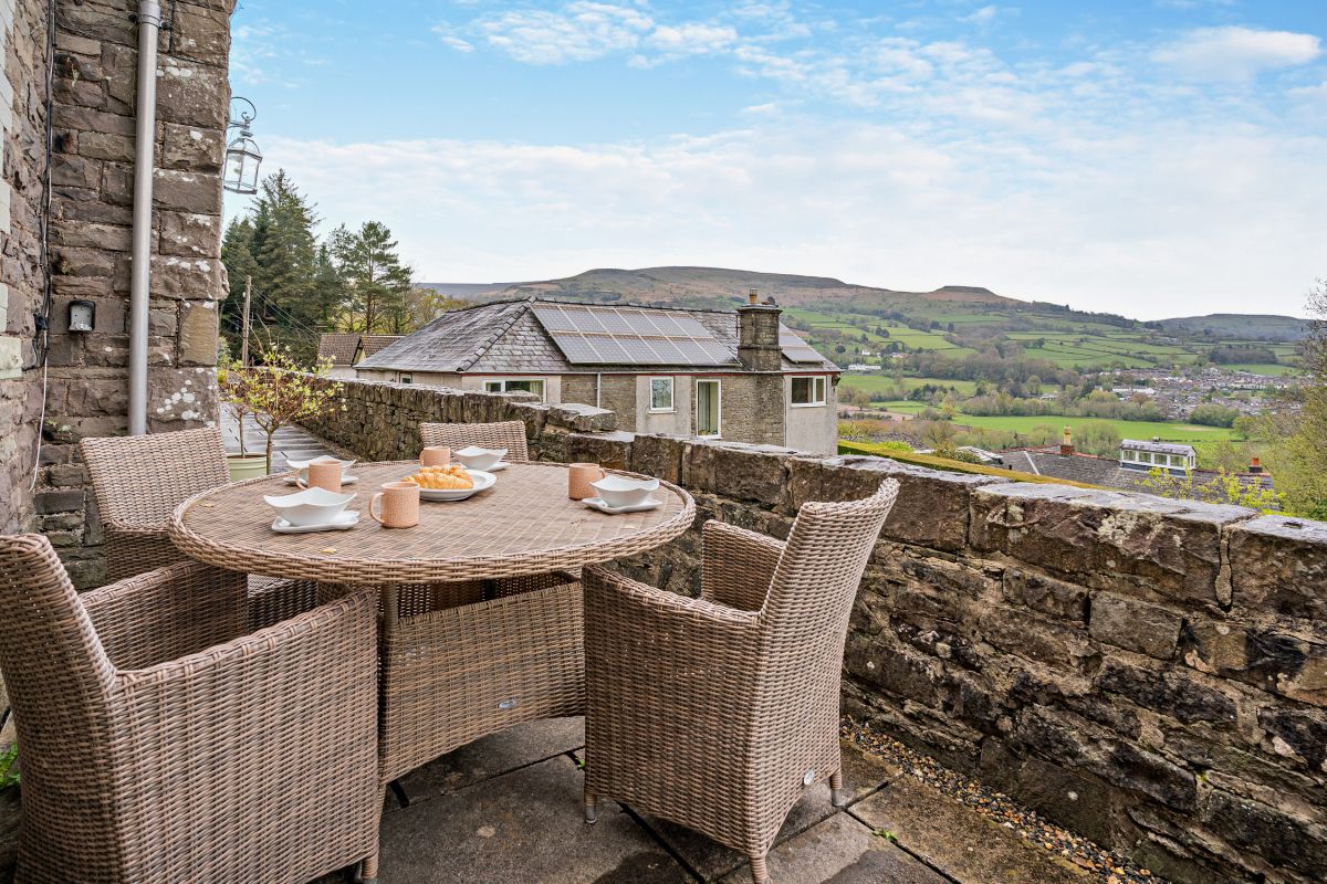
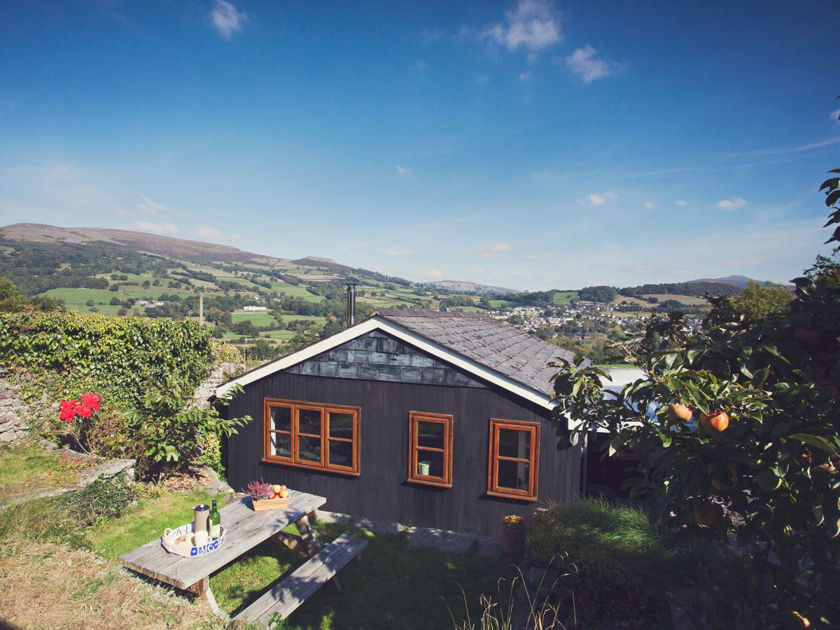
The Dardy, near Crickhowell, Mid Wales
Canal Boat Cottage
Sleeps 4 · 2 beds
- Wood burner
- Dogs
from £732 / week
Check dates for Canal Boat Cottage (opens the booking site in a new tab)Checked 7 Oct
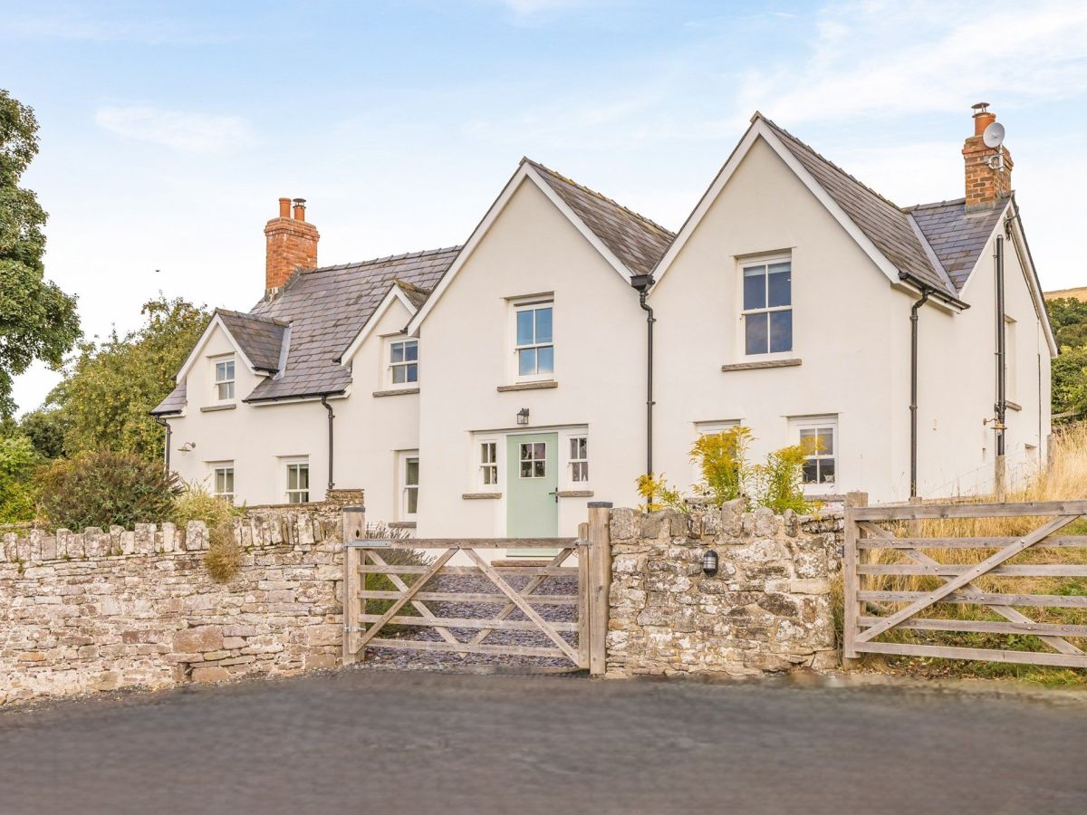
Crickhowell, Mid Wales
The Wern - Crickhowell
Sleeps 10 · 5 beds
- Wood burner
- Dogs
from £1,857 / week
Check dates for The Wern - Crickhowell (opens the booking site in a new tab)Checked 7 Oct
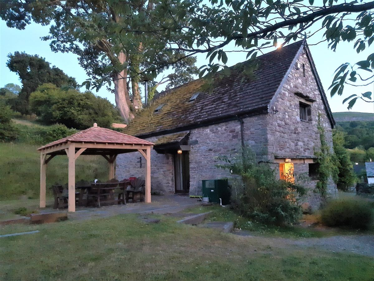
Distances, ascent and times here are planning figures taken from published sources, not a route description to navigate by. Take a map and check the forecast. We do not publish conditions, because nothing on this page is updated often enough for you to trust it on the day.