Grisedale Pike from Braithwaite
Near Braithwaite, Lake District
- Distance
- 13 km
- Ascent
- 875 m
- Time
- 4 hr
- Difficulty
- Hard
- Summit
- 791 m
- Shape
- Circular
- Parking
- Limited
Start: Small parking area near the foot of Whinlatter Pass, opposite Hope Memorial Park
Grid ref: NY 227237
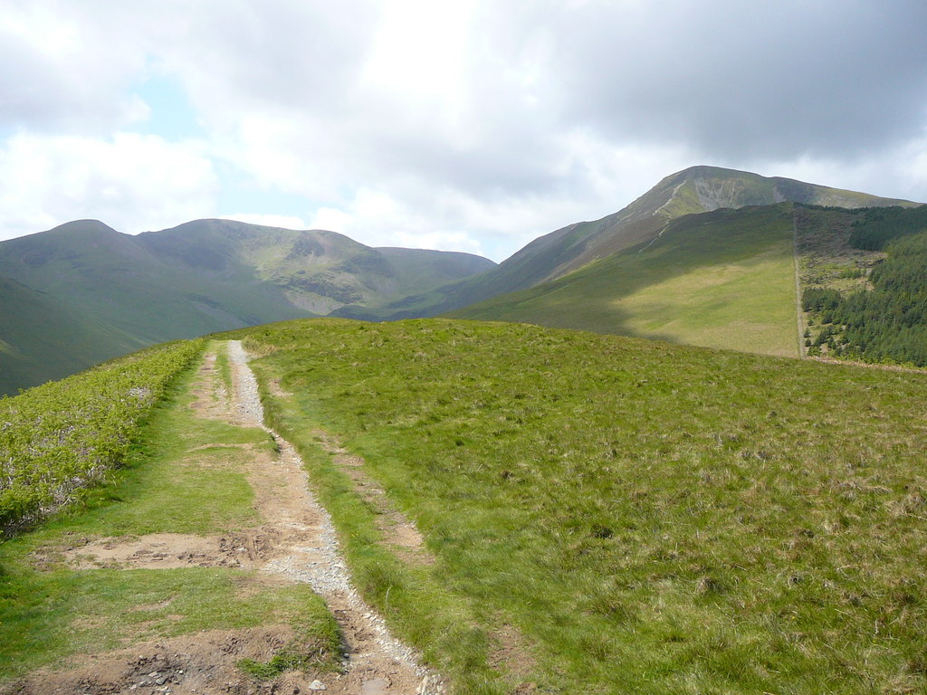
Grisedale Pike stands over Braithwaite at 791m, and the route guide WalkLakes describes its profile as distinctive. It climbs the north-east ridge in three steps: a grass path straight up through bracken to the minor top of Kinn, a wide heathery stretch over Sleet How, and then a narrowing crest that ends in a rough clamber on loose stones and rocky steps. WalkLakes says the ascent is not difficult and nothing on it counts as scrambling, but that the last section is best kept for a clear day, since the ground falls steeply to both sides.
From the summit the route follows the crag edge over Hobcarton Crag to Hopegill Head, crosses Sand Hill to Coledale Hause and drops into Coledale. Beside the path lie the buildings of Force Crag Mine, a scheduled monument and Site of Special Scientific Interest where lead, zinc and baryte were mined until a roof collapse closed it in 1990, the last mineral mine in the Lake District. The National Trust owns it and opens the buildings a few times a year for guided tours. Baryte was in particular demand in the Second World War, for explosives. The mine road leads back to the start, which is a small unsignposted parking area at the foot of Whinlatter Pass; WalkLakes adds that the school in Braithwaite allows parking at weekends and otherwise it is on-street.
WalkLakes gives 13.0km with 875m of ascent and a minimum time of just over four hours, grades the terrain as very rough boulder scree, and notes the path runs close to precipitous crags, so it marks the route potentially dangerous for a dog. It suits a walker ready for a long hill day who wants a Western Fells summit with real industrial history underfoot. It does not suit anyone wanting a short outing, or anyone uneasy beside steep drops. For the same view of Keswick and Derwentwater with far less climbing, Catbells is 5.6km and tops out at 451m.
Underfoot
A grass path climbs steeply through bracken to the ridge at Kinn, widens over Sleet How, then narrows to a rough clamber on loose stones and rocky steps for the last pull to the summit, with steep drops into Grisedale and Coledale. Beyond lies Hopegill Head, then the rough path down Coledale to a ford and stepping stones.
Stay within reach of the start
Everything here is inside 12 km of Grisedale Pike from Braithwaite.
Booking links on these earn us a commission. The price you pay is the same either way.
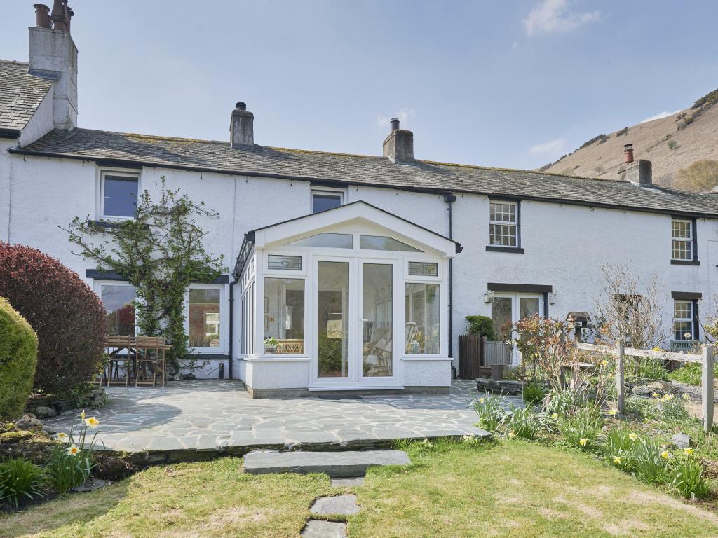
Braithwaite, near Keswick, Cumbria
Turncroft Cottage
Sleeps 6 · 3 beds
- Dogs
from £945 / week
Check dates for Turncroft Cottage (opens the booking site in a new tab)Checked 5 Oct
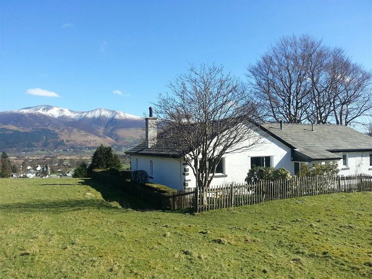

Braithwaite, near Keswick, Cumbria
Western Cottage
Sleeps 5 · 3 beds
- Wood burner
- No dogs
from £668 / week
Check dates for Western Cottage (opens the booking site in a new tab)Checked 5 Oct
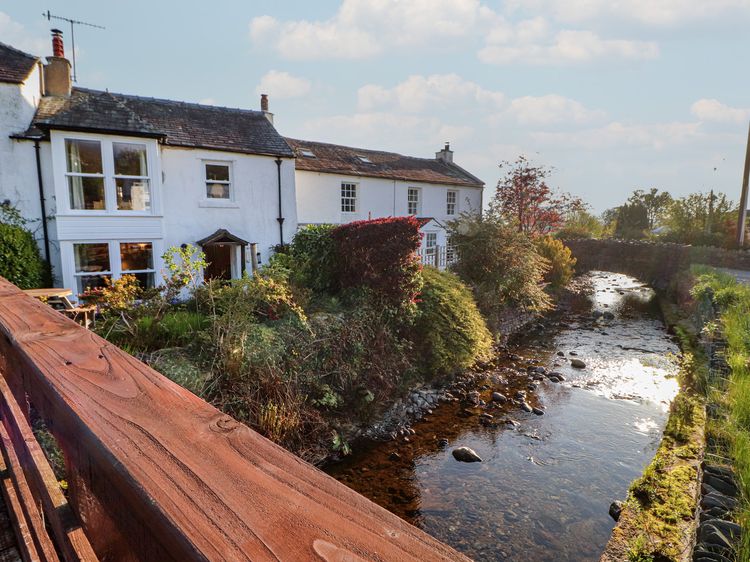
Braithwaite
Brookside Cottage
Sleeps 6 · 3 beds
- Wood burner
- No dogs
from £585 / week
Check dates for Brookside Cottage (opens the booking site in a new tab)Checked 7 Oct
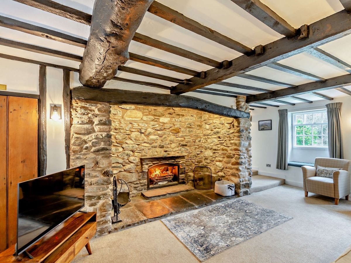
Braithwaite, near Keswick, Cumbria
Eastern Cottage
Sleeps 6 · 3 beds
- No dogs
from £654 / week
Check dates for Eastern Cottage (opens the booking site in a new tab)Checked 5 Oct
Distances, ascent and times here are planning figures taken from published sources, not a route description to navigate by. Take a map and check the forecast. We do not publish conditions, because nothing on this page is updated often enough for you to trust it on the day.