Mount Keen from Glen Esk
- Distance
- 17.5 km
- Ascent
- 681 m
- Time
- 6 hr
- Difficulty
- Moderate
- Summit
- 939 m
- Shape
- There and back
Start: Invermark car park, at the head of Glen Esk
Grid ref: NO 446803
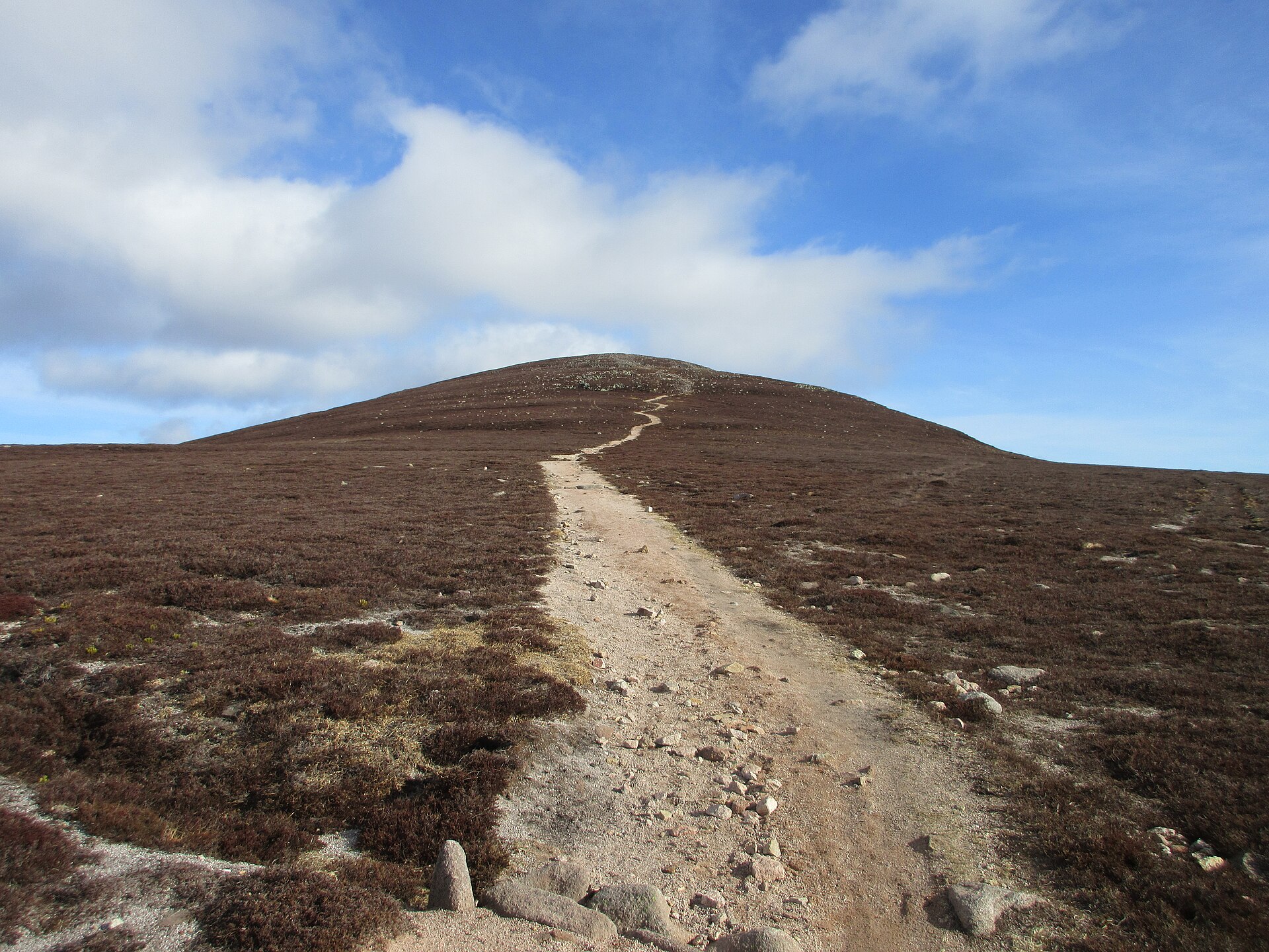
Mount Keen is the most easterly of the Munros, a status Walkhighlands and Wikipedia both record, and Wikipedia gives its height as 939m. Walkhighlands describes a dome above empty, bleak moorland and calls the ascent from Glen Esk by Glen Mark the shortest route, which follows an old road: it says the left fork near the top was the original route of the Mounth Road, and that the path over the summit is now the busier of the two. Near the start the tower of Invermark Castle shows through the trees; Walkhighlands says the local landowner built it as a garrison fort against Aberdeenshire cattle raiders using the traditional routes through the glens.
The route follows the road from the Invermark car park over the bridge and past the church, then a track signed for Mount Keen and the Queen’s Well, and runs up Glen Mark. Historic Environment Scotland lists the well as a granite crown of six semi-arcs over the spring; a bronze plaque records that Queen Victoria and the Prince Consort drank there on 20 September 1861, and the listing says the Earl of Dalhousie erected it. Beyond it the track crosses the Easter Burn and the Ladder Burn, the second by an iron grid, and climbs the Ladder Glen by a zig-zag onto the moor. A constructed path takes over for the summit, which Walkhighlands says had become very eroded and has been greatly repaired. The summit cone is bouldery with a trig point, and Walkhighlands notes that Lochnagar to the west shows more craggy terrain than the moors around. The Invermark Estate’s entry in the Heading for the Scottish Hills stalking table lists the main path from Invermark as always ok.
Walkhighlands gives 17.5km and 681m of ascent in five to six hours, on track and good hill path with a couple of rockier sections near the top. That suits a walker after a first Munro on a made route, where the 17.5km is the cost and the ascent is modest beside it. It does not suit anyone who wants a short day or rock underfoot, and Walkhighlands warns the ground is very exposed in bad weather. Clachnaben, a Glen Dye hill topped by a granite tor, is the shorter day.
Underfoot
Estate road, rough track and a constructed path across open moorland, with a burn crossing and an iron grid on the way in, a couple of rockier sections on the bouldery summit cone, and very exposed ground in bad weather.
Stay within reach of the start
Booking through these links earns a commission. The price is the same.
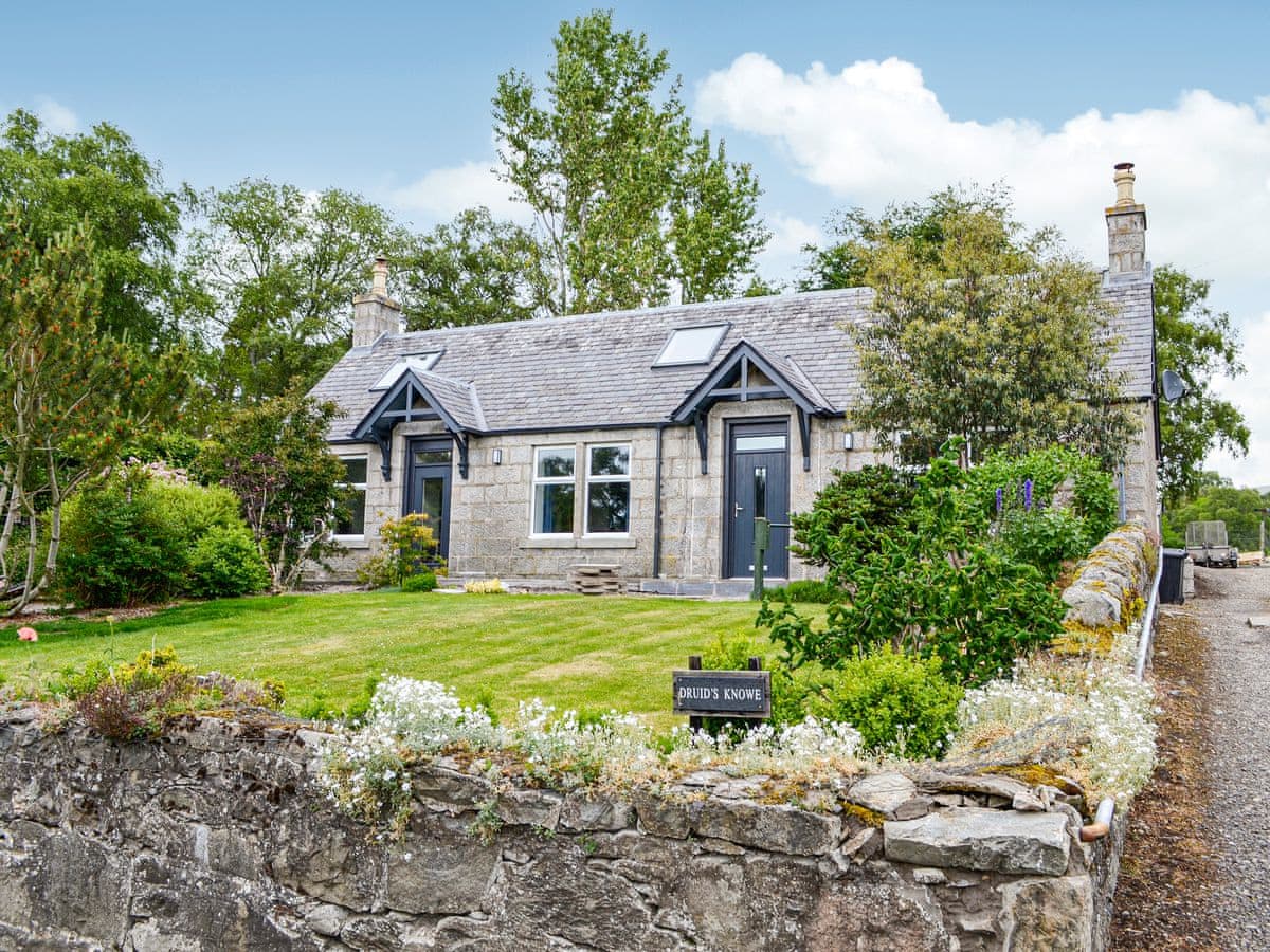
Glenesk
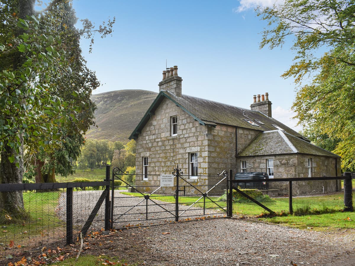
Gleneffock Farmhouse
Sleeps 8 · 4 beds
- Dogs
from £587 / week
Check dates for Gleneffock Farmhouse (opens the booking site in a new tab)Checked 24 Oct

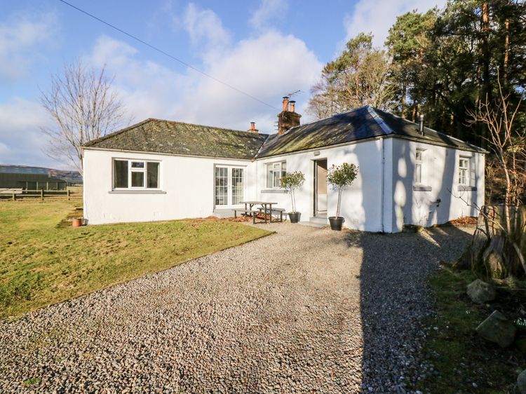
Kirriemuir
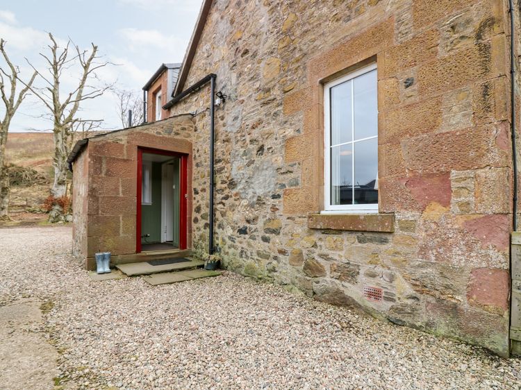
White Hillocks Farm House
Sleeps 6 · 3 beds
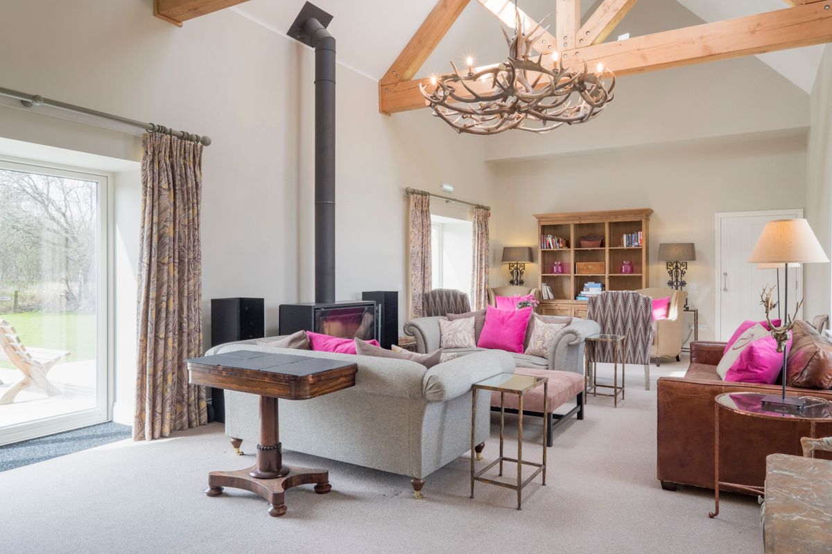
- Wood burner
- Dogs
from £579 / week
Check dates for White Hillocks Farm House (opens the booking site in a new tab)Checked 9 Oct

Distances, ascent and times here are planning figures taken from published sources, not a route description to navigate by. Take a map and check the forecast.