Clachnaben from Glen Dye
- Distance
- 9 km
- Ascent
- 511 m
- Time
- 3 hr
- Difficulty
- Moderate
- Summit
- 589 m
Start: Clachnaben Quarry forest car park, three quarters of a kilometre north of the Bridge of Dye
Grid ref: NO 648868
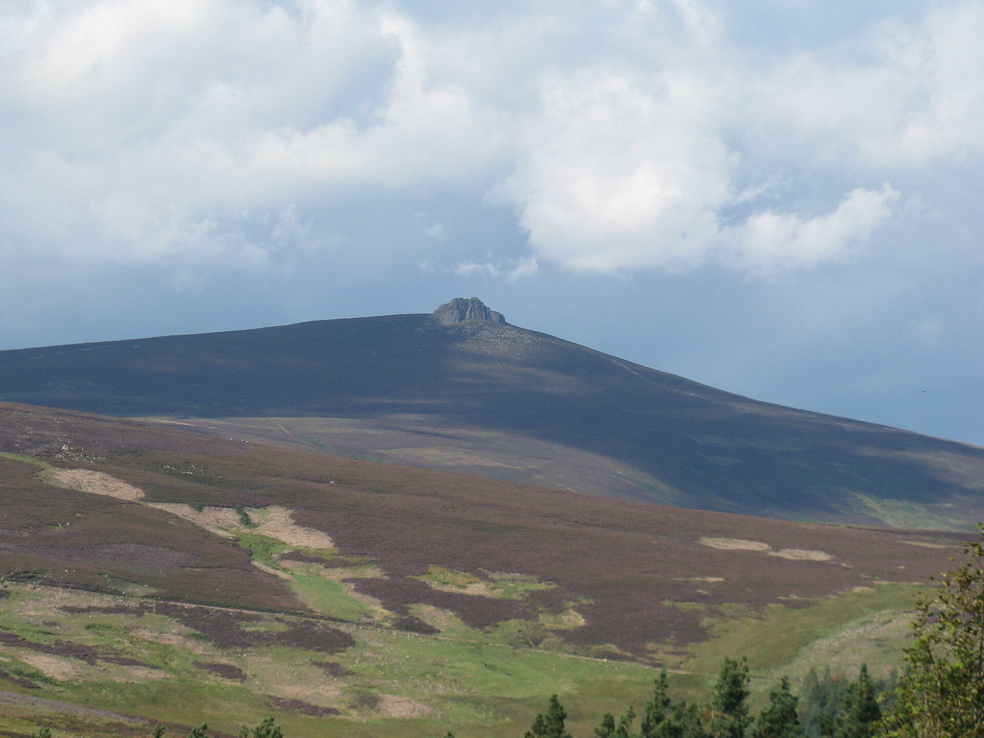
Clachnaben is a 589m hill in Glen Dye, Aberdeenshire, which Wikipedia describes as a distinctive hill visible from many points on Lower Deeside and topped with a large granite tor. Walkhighlands calls it one of the best known of Aberdeenshire’s lower hills, celebrated together with Bennachie in an old couplet, and says its fame rests on that tor. Wikipedia adds that the tor and Bennachie served as a navigation aid for sailors entering the North Sea, that the Gaelic form is Clach na Beinne, and that Clachnaben! is the war cry of Clan Strachan.
Walkhighlands starts the route, on Ordnance Survey Explorers OL54 and 396, at a forest car park in an old quarry three quarters of a kilometre north of the Bridge of Dye, and notes that the first stretch is mostly downhill, which it calls disconcerting for a hill. The route drops to a bridge in the glen bottom, follows a track up through Miller’s Bog, and then climbs above the Mill Burn on a built path with pitched stone steps. Walkhighlands credits that path to the Clachnaben Path Trust, a local charity; the North East Mountain Trust’s newsletter of autumn 2000 records that the trust was set up in 1998, that the old path had spread to five metres wide in places with deep scouring, and that the owner of the Glendye Estate gave the workers accommodation and free materials. At the tor the path goes round the right-hand side to its easier-angled back. Walkhighlands says the highest point involves an easy scramble, that care is needed because the topmost rocks are small and the drop substantial, and that the front of the tor carries numerous rock-climbing routes.
Walkhighlands gives 9km and 511m of ascent in three hours, and says that because of the hill’s popularity the local trust recommends returning by the same route. Clachnaben suits a walker who wants a summit with a rock feature on top in half a day, on a path built for most of its length. It does not suit anyone unwilling to scramble beside a substantial drop, and at 589m it will not do for a walker wanting a high-level day. For the bigger hill, Lochnagar from Spittal of Glenmuick is a hard day of 19km and 930m of ascent.
Underfoot
Tracks lower down, with the odd slightly boggy section, then a built hill path with pitched stone steps; the granite tor at the top is rounded to its easier-angled back, and reaching the highest point is an easy scramble on small topmost rocks beside a substantial drop.
Stay within reach of the start
Booking through these links earns a commission. The price is the same.

Banchory, Northern Scotland
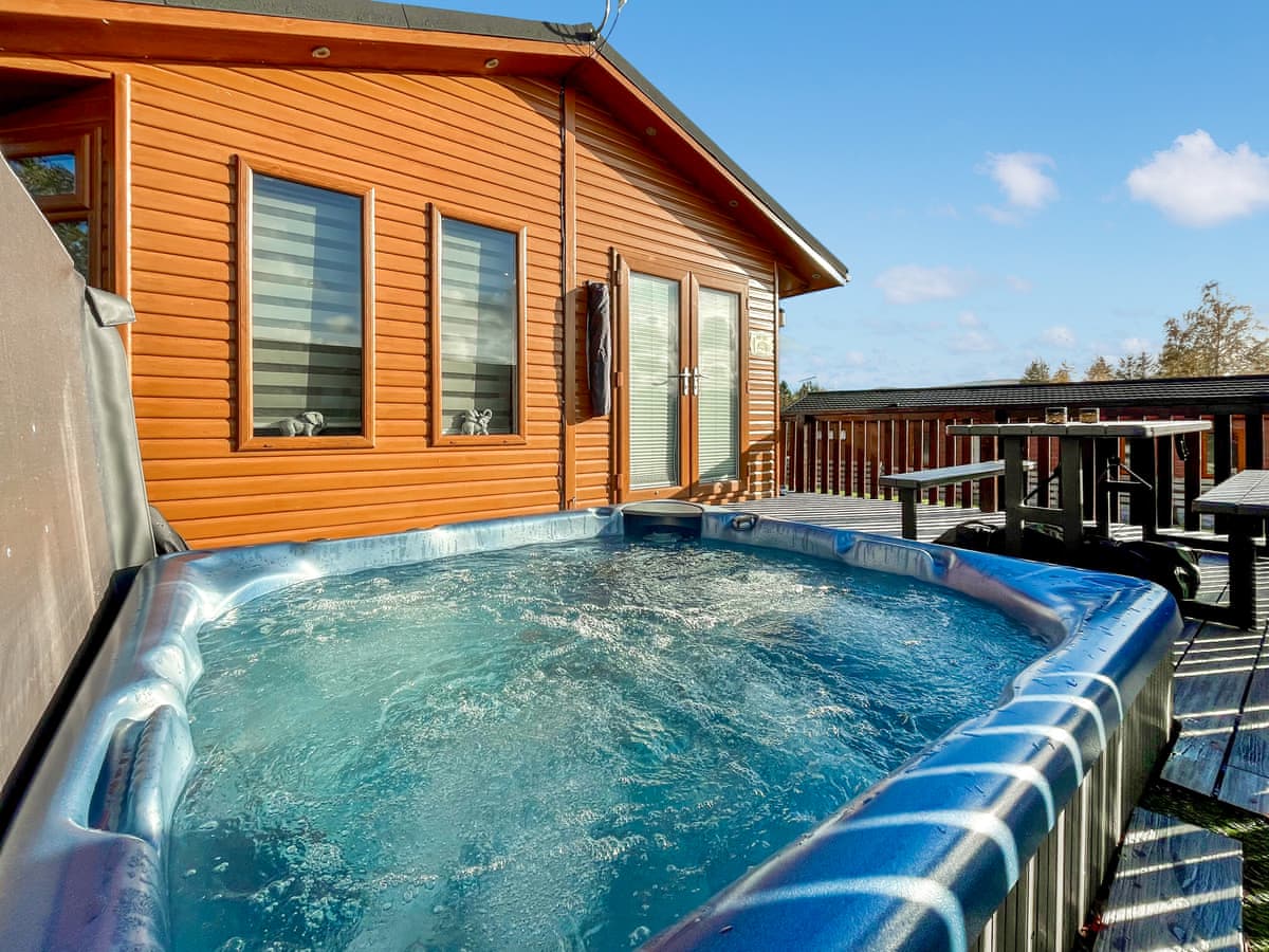
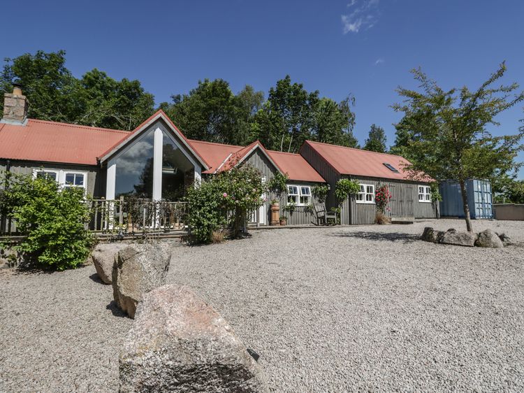
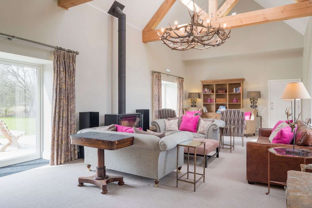
Glen Dye The Corner House
Sleeps 6 · 3 beds
- Wood burner
- Dogs
from £2,285 / week
Check dates for Glen Dye The Corner House (opens the booking site in a new tab)Checked 9 Oct

Banchory, Northern Scotland
Glen Dye No 4 Steading Cottage
Sleeps 7 · 4 beds
- Wood burner
- Dogs
from £2,285 / week
Check dates for Glen Dye No 4 Steading Cottage (opens the booking site in a new tab)Checked 9 Oct
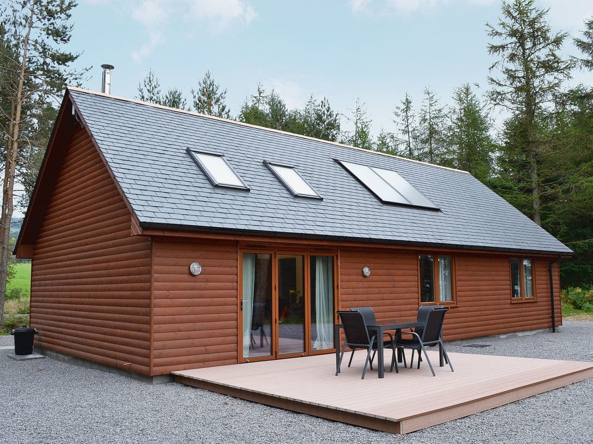
Strachan
Birchland - Cairn View
Sleeps 5 · 3 beds
- Dogs
from £543 / week
Check dates for Birchland - Cairn View (opens the booking site in a new tab)Checked 24 Oct
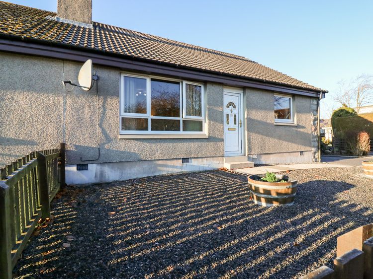
Torphins
10 Annesley Park
Sleeps 4 · 2 beds
- No dogs
from £409 / week
Check dates for 10 Annesley Park (opens the booking site in a new tab)Checked 9 Oct
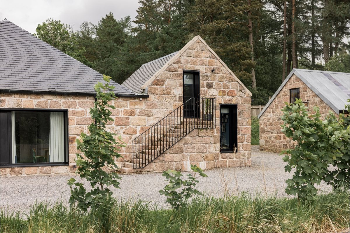
Banchory, Northern Scotland
Glen Dye No 5 Steading Cottage
Sleeps 7 · 4 beds
- Wood burner
- Dogs
from £2,830 / week
Check dates for Glen Dye No 5 Steading Cottage (opens the booking site in a new tab)Checked 9 Oct
Distances, ascent and times here are planning figures taken from published sources, not a route description to navigate by. Take a map and check the forecast.