Lochnagar from Spittal of Glenmuick
Near Braemar, Scotland
- Distance
- 19 km
- Ascent
- 930 m
- Time
- 6 hr 30 min
- Difficulty
- Hard
- Summit
- 1,156 m
- Shape
- Circular
- Parking
- Paid
Start: Car park at the Spittal of Glenmuick, at the end of the public road up Glen Muick
Grid ref: NO 309851
Walkhighlands calls Lochnagar the highest, most popular and finest mountain of the Mounth, and perhaps of the Cairngorms as a whole, at 1,156m by its figure. It stands on the Royal Estate of Balmoral, within the Cairngorms National Park, according to Wikipedia, and its principal feature is a north-facing corrie. Queen Victoria climbed it in 1848, and Walkhighlands quotes her journal on the summit: nothing to be seen, and cold, wet and cheerless. Braemar lies about 10km north-west of the summit, but the standard route starts on the south side, so it is a drive from there to the car park.
The circuit starts at the Spittal of Glenmuick, where Walkhighlands records a small wooden visitor centre and public toilets, and crosses the glen floor to the estate’s buildings at Allt-na-guibhsaich. The path that leaves the track for the bealach between Lochnagar and Meikle Pap has been much improved in recent years by stone-pitching, and passes a memorial to Bill Stuart, a climber who died on the cliffs in 1953. At the bealach the gentle hills of the approach give way to the corrie, a curve of buttresses around a lochan.
One way up is the Ladder, a steep boulder field with a built path through it; above it the slope eases onto the plateau and the route follows the cliff edge, which Walkhighlands warns against hugging, round to Cac Càrn Mòr and then to Cac Càrn Beag, the true summit, with its view indicator. Wikipedia notes that the plateau has few obvious features and steep cliffs on its northern edge. The descent drops south-east into the Glas Allt, past its falls to the royal lodge at Glas-allt-Shiel, then follows the shore of Loch Muick back to the Spittal.
Walkhighlands gives 19km, 930m of ascent and six to seven hours on Ordnance Survey Explorer OL53, with no public transport to the start, and lists the main path from Glen Muick as always fine to use during the Balmoral stalking season. This suits an experienced hillwalker with the fitness for a long day and the skill to navigate a cliff-edged plateau in cloud. A first Munro, or any day starting late, is the wrong choice. For something shorter in the neighbouring hills, Driesh and Mayar is 14.5km and 835m, or the Loch Muick circuit alone is 12.5km with 170m of ascent, by Walkhighlands.
Underfoot
Clear tracks and stone-pitched mountain paths to the bealach, a boulder slope with a good path onto the plateau, then an open cliff edge on the summit plateau; the descent follows the Glas Allt past a waterfall and returns along Loch Muick.
Stay within reach of the start
Everything here is inside 30 km of Lochnagar from Spittal of Glenmuick.
Booking links on these earn us a commission. The price you pay is the same either way.
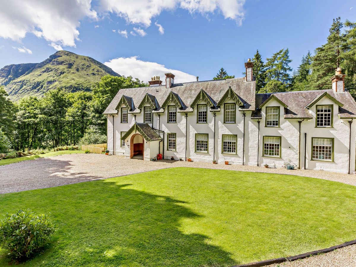
Glenclova, near Kirriemuir, Central Scotland
Glen Doll Lodge
Sleeps 16 · 8 beds
- Wood burner
- Dogs
from £4,438 / week
Check dates for Glen Doll Lodge (opens the booking site in a new tab)Checked 8 Oct

Glenclova, near Kirriemuir, Central Scotland
Glen Doll Cottage
Sleeps 4 · 2 beds
- Wood burner
- Dogs
from £652 / week
Check dates for Glen Doll Cottage (opens the booking site in a new tab)Checked 8 Oct
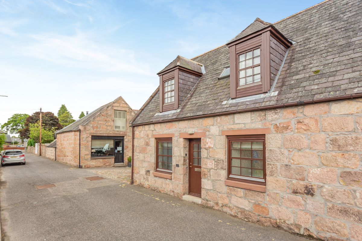
Ballater, Northern Scotland
Old Stables Courtyard Cottage
Sleeps 4 · 2 beds
- Dogs
from £579 / week
Check dates for Old Stables Courtyard Cottage (opens the booking site in a new tab)Checked 8 Oct

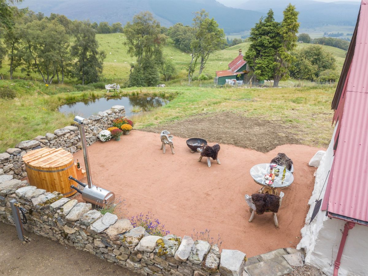
Braemar, near Ballater, Northern Scotland
Downie's Cottage
Sleeps 2 · 1 bed
- Hot tub
- Wood burner
- Dogs
from £1,733 / week
Check dates for Downie's Cottage (opens the booking site in a new tab)Checked 7 Oct

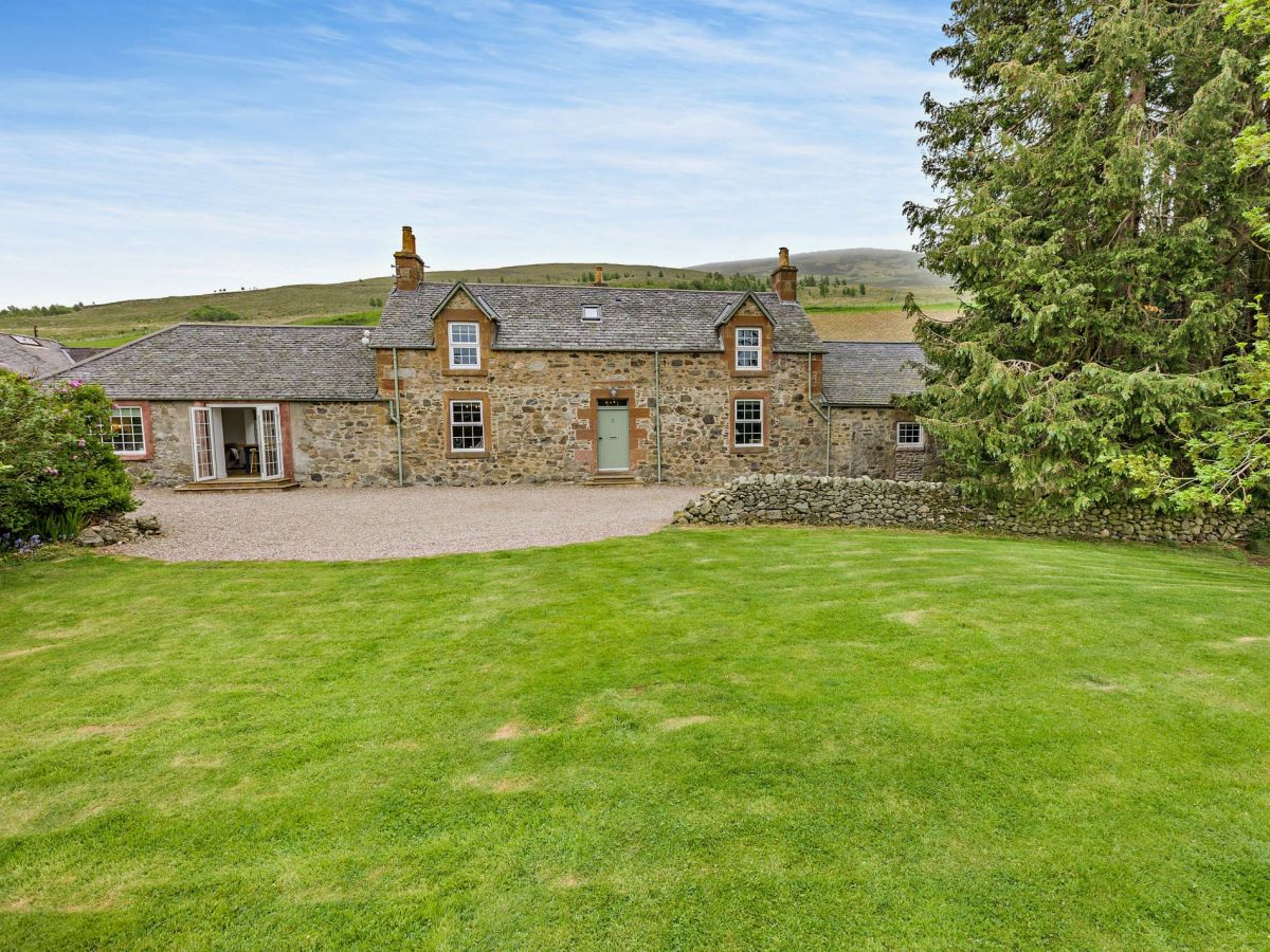

Dinnet, near Aboyne, Northern Scotland
Ferneyhowe Croft
Sleeps 6 · 3 beds
- Wood burner
- Dogs
from £699 / week
Check dates for Ferneyhowe Croft (opens the booking site in a new tab)Checked 8 Oct
Distances, ascent and times here are planning figures taken from published sources, not a route description to navigate by. Take a map and check the forecast. We do not publish conditions, because nothing on this page is updated often enough for you to trust it on the day.