Lochnagar from Spittal of Glenmuick
The highest and most visited mountain of the Mounth, circled from Spittal of Glenmuick on Balmoral estate land past its northern corrie, in 19km and 930m.
- 19 km
- 930 m up
- 6 hr 30 min
- Hard
Gaelic: Bràigh Mhàrr
Upper Deeside's hill village, with Lochnagar 25 miles round.
339 m
None in range: the Deeside line closed to Ballater in 1966, and the Stagecoach 201 bus runs to Braemar from Aberdeen, 58 miles away
5
14
Braemar stands at 339m in the middle of the Cairngorms National Park, and the park authority records that its Gaelic name, Bràigh Mhàrr, meant Upland of Marr and labelled the whole district until about 1870, when it narrowed to the village. Walkhighlands calls it one of Scotland’s highest villages and a superb centre for hillwalkers, the southern approach to the Cairngorms. That is the honest case for sleeping here: Braemar is the base for the Deeside side of the range, for Glen Clunie, the Linn of Dee and the long approaches into the high plateaux.
The one mountain on this site attached to Braemar is also the exception. Lochnagar has its standard route on the south side, from the Spittal of Glenmuick, and the “where to stay” links on Walkhighlands’ Lochnagar page are labelled Ballater, not Braemar. If Lochnagar is the reason for the trip, Ballater is the shorter drive to the start. If the plan is several days among the Deeside hills with Lochnagar as one of them, Braemar works.
Lochnagar is a drive, and there is no way round that. Google Maps’ driving directions put the Spittal of Glenmuick car park 24 to 25 miles from Braemar and 44 to 46 minutes away, by the A93 east to Ballater and then the public road up Glen Muick, which Walkhighlands says ends at two large car parks. Walkhighlands lists no public transport to the start. The 201 bus calls at Ballater and nothing runs up the glen, so without a car the mountain is out of reach from here.
Two walks start from the village centre. Walkhighlands gives the Queen’s Drive and River Clunie circuit as 4.5km with 86m of ascent, a carriage drive Queen Victoria is said to have preferred, on good paths throughout. Morrone is the bigger day: a Corbett with a trig point at 859m, 12km and 650m of ascent in four to five hours by Walkhighlands’ figures, returning along the old military road down Glen Clunie. Walkhighlands records Mar Estate stalking on the north-west side between late July and 15 February, with none at weekends. The Linn of Dee circuit and the walk to Derry Lodge start at the Linn of Dee, near Braemar rather than in it, and need a car.
There is no railway. The Deeside line to Ballater closed in 1966, and the nearest way in by public transport is Stagecoach route 201 from Aberdeen, which a 2023 ride report on BusAndTrainUser measures at 58 miles and two hours 24 minutes end to end, with fewer journeys carrying on past Ballater than run to it. The terminus is just beyond the village centre, and the same report found no bus route onward. Balmoral lies between Ballater and Braemar, a 15-minute drive from the village according to the park authority.
By road the A93 comes in from Aberdeen along the Dee, and from the south over the Cairnwell Pass. The park authority puts Aberdeen, Dundee and Perth each within about an hour and a half, which is where the larger shops and the rail connections are. Traffic Scotland publishes the current state of the pass.
Walkhighlands records a car park with toilets just off the A93 in the village and a second over the bridge opposite the Fife Arms; the car parks at the Spittal of Glenmuick, for Lochnagar, are charged.
The A93 reaches Braemar from Aberdeen through Ballater, and from the south over Glen Clunie and the Cairnwell Pass, which Walkhighlands describes as often snowbound in winter.
The highest and most visited mountain of the Mounth, circled from Spittal of Glenmuick on Balmoral estate land past its northern corrie, in 19km and 930m.
Two Munros on the plateau above Glen Clova, reached through the glacial amphitheatre of Corrie Fee and left by the Kilbo path, in 14.5km and 835m.
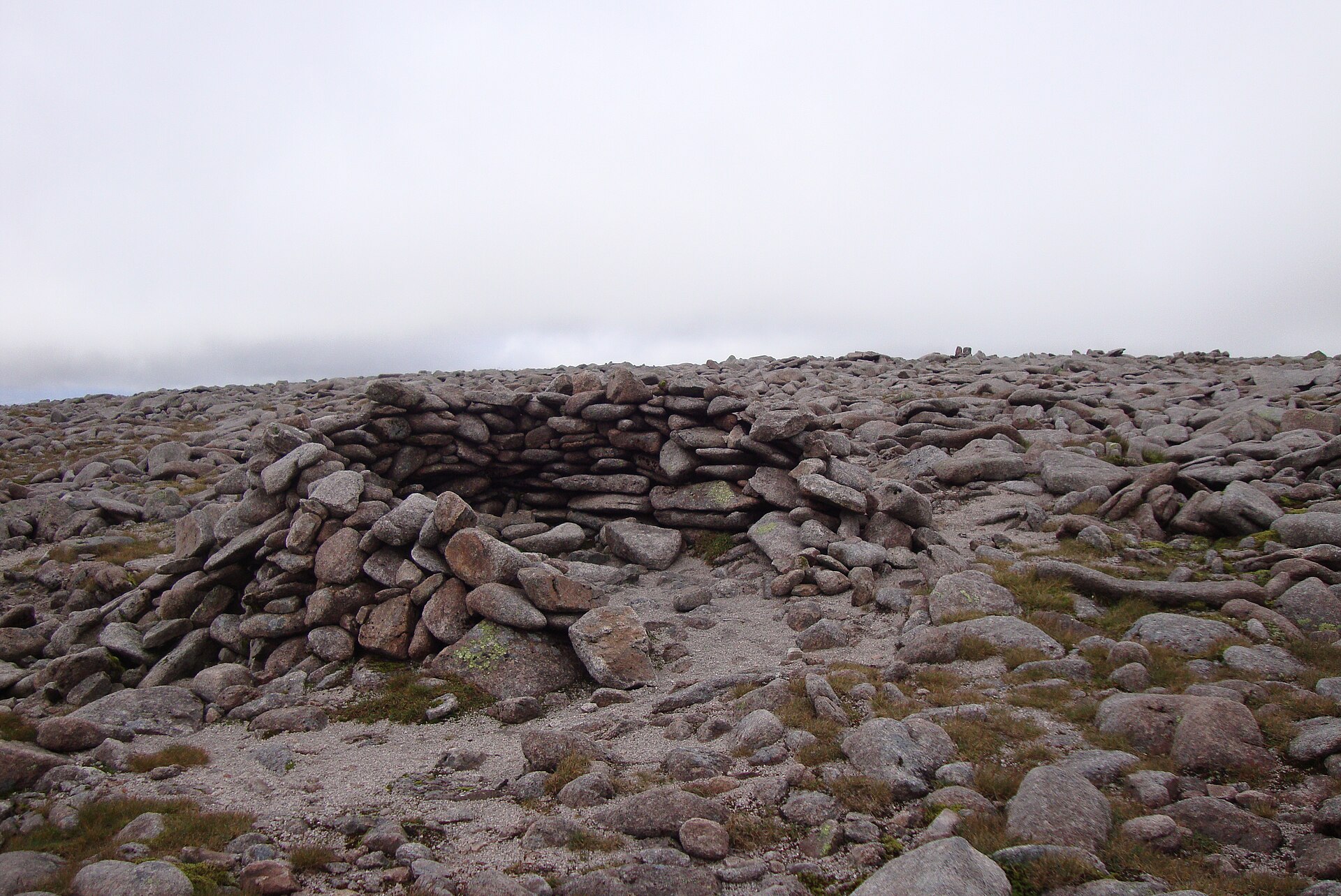
Britain's second-highest summit, reached across the exposed Cairngorm plateau from the Coire Cas car park, taking in Cairn Gorm too.
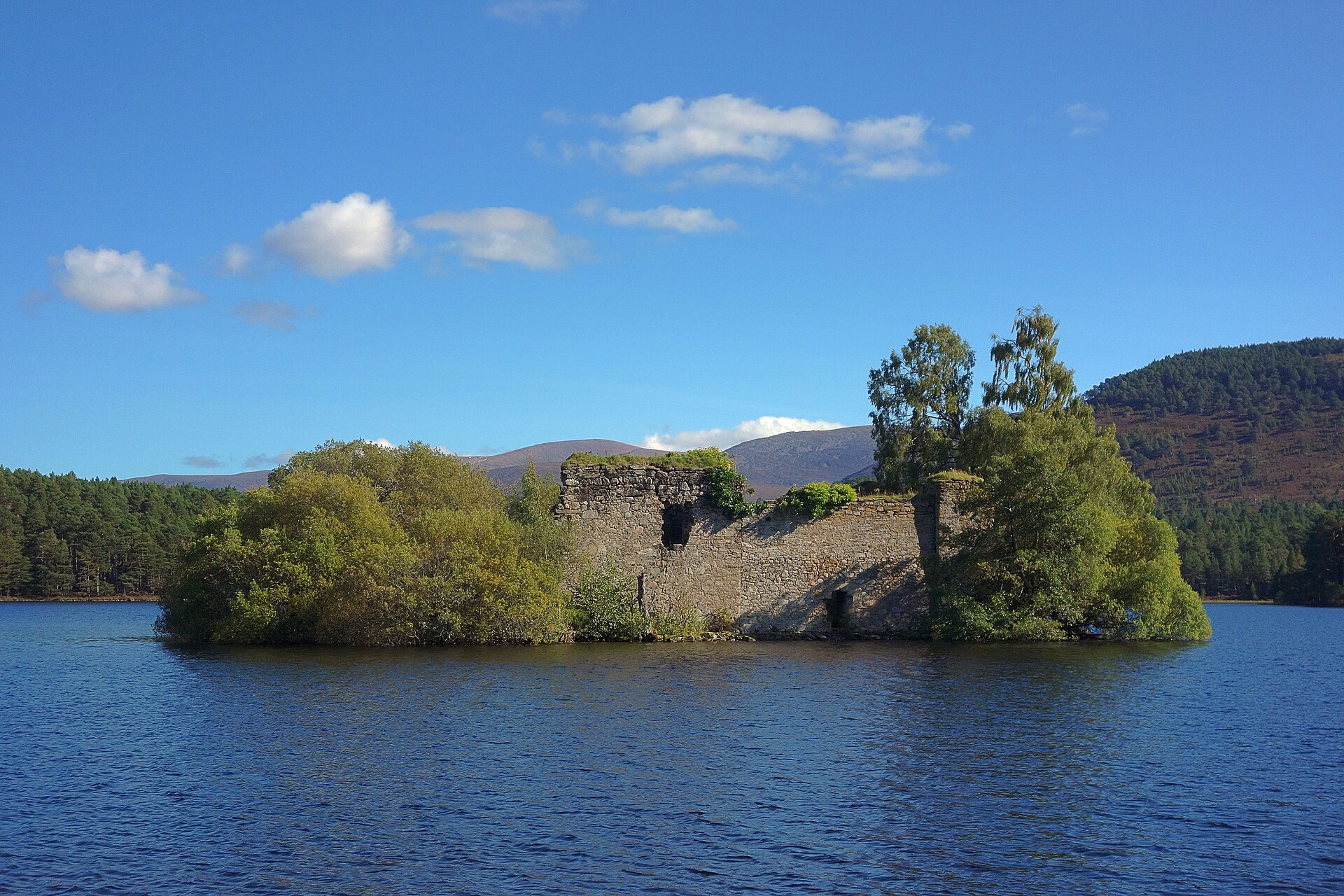
A flat, five-kilometre forest path around a loch with a ruined island castle, a popular short walk in the Cairngorms.
A Corbett of 842m above Pitlochry, climbed from Moulin on a made path past Loch a' Choire, with a steep stone-stepped finish and a toposcope.
Places you can drive to, or reach in a few minutes from the car.
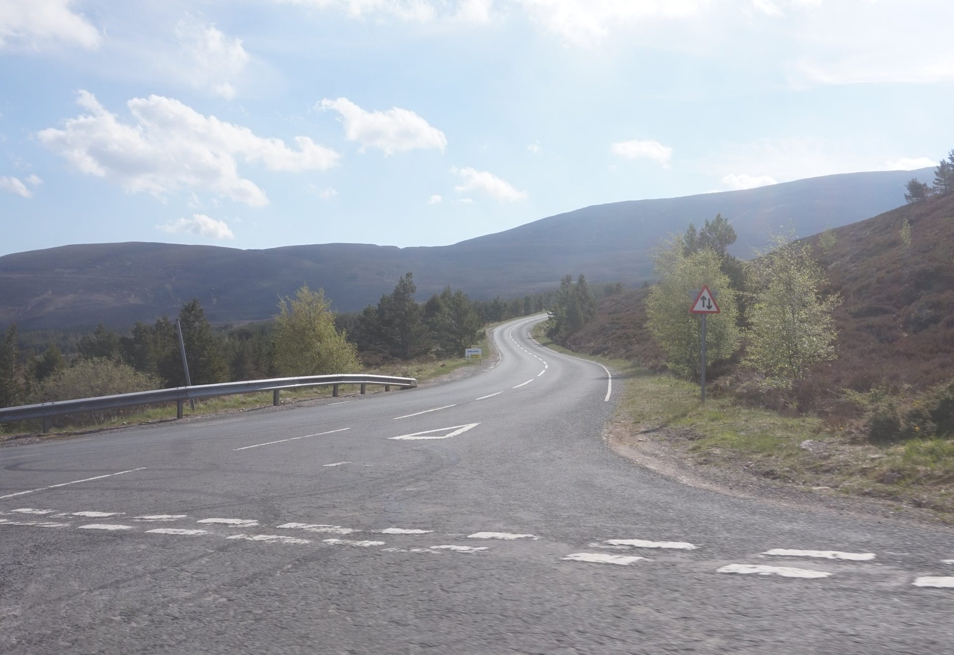
A public road from Glenmore to a car park at 635 metres below Cairn Gorm, with views back over Strathspey.
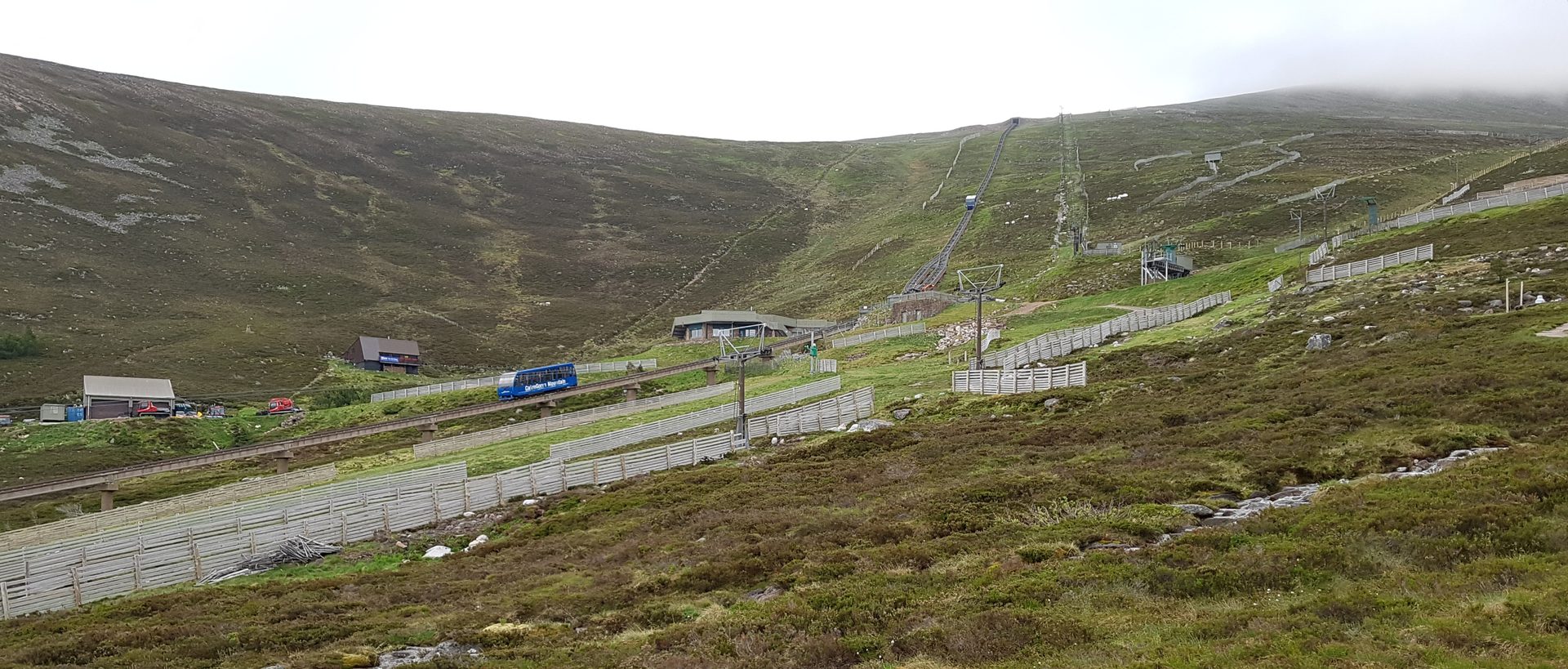
Britain's highest railway, climbing from Coire Cas to the Ptarmigan building at 1,097 metres on the shoulder of Cairn Gorm.
Booking links on these earn us a commission. The price you pay is the same either way.
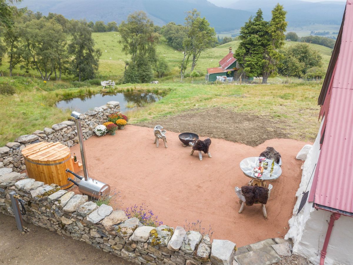
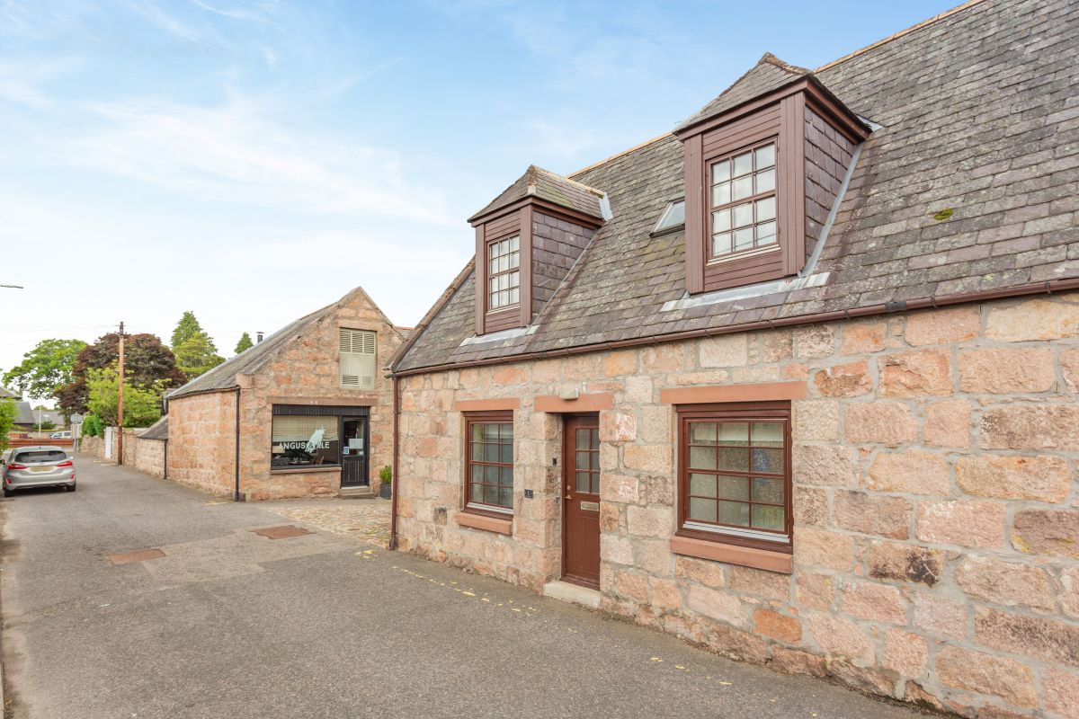
Braemar, near Ballater, Northern Scotland
Sleeps 2 · 1 bed
from £1,733 / week
Check dates for Downie's Cottage (opens the booking site in a new tab)Checked 7 Oct
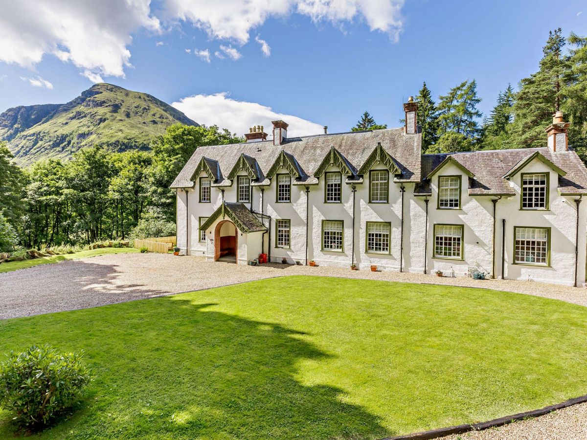
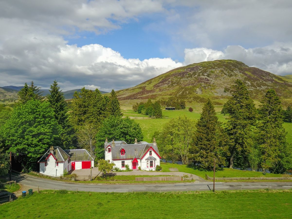
Glenclova, near Kirriemuir, Central Scotland
Sleeps 16 · 8 beds
from £4,438 / week
Check dates for Glen Doll Lodge (opens the booking site in a new tab)Checked 8 Oct
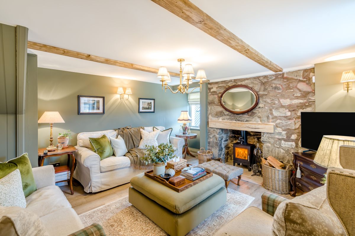
Glenclova, near Kirriemuir, Central Scotland
Sleeps 4 · 2 beds
from £652 / week
Check dates for Glen Doll Cottage (opens the booking site in a new tab)Checked 8 Oct
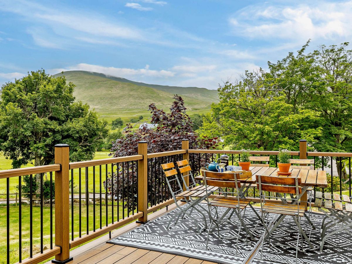
Glenshee, near Blairgowrie, Central Scotland
Sleeps 12 · 5 beds
from £1,878 / week
Check dates for Shee Water House (opens the booking site in a new tab)Checked 8 Oct
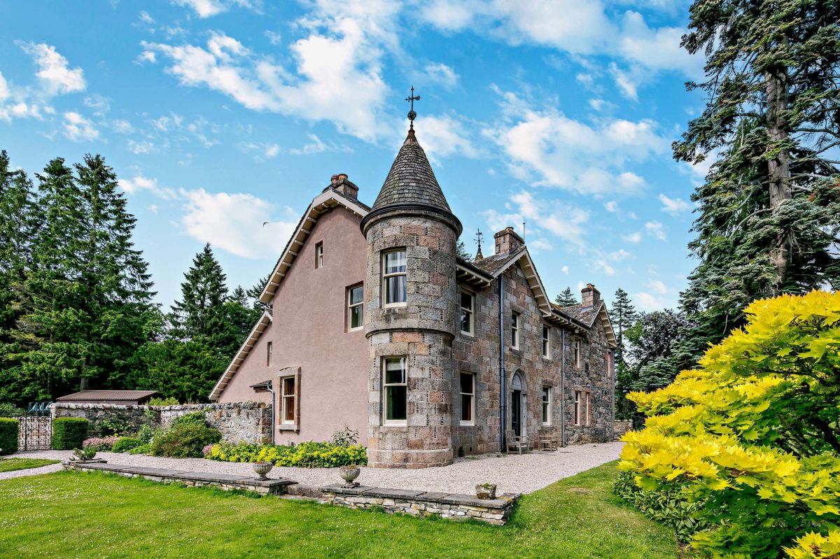
Ballater, Northern Scotland
Sleeps 4 · 2 beds
from £579 / week
Check dates for Old Stables Courtyard Cottage (opens the booking site in a new tab)Checked 8 Oct
Tomintoul, near Ballindalloch, Northern Scotland
Sleeps 18 · 9 beds
from £5,455 / week
Check dates for Delnabo House (opens the booking site in a new tab)Checked 8 Oct