Bleaklow Head and the B-29 wreck
Near Edale, Peak District
- Distance
- 15.4 km
- Ascent
- 470 m
- Time
- 5.8 hr
- Difficulty
- Hard
- Summit
- 633 m
- Shape
- Circular
Start: Snake Pass Top lay-by, A57
Grid ref: SK 109914
Bleaklow Head, at 633m according to the Database of British and Irish Hills, is the high point of a broad peat plateau immediately north of Kinder Scout across the Snake Pass. The route onto it follows Doctor’s Gate, a packhorse track first recorded in 1627 as “Docto Talbotes Gate”, named for Dr John Talbot, vicar of Glossop, who is credited with improving the road over the summit in the closing years of the fifteenth century; the National Trust’s own heritage record for the path notes that despite a long-claimed Roman origin, linking the forts at Glossop and Brough-on-Noe, no evidence of that antiquity has actually been found on the ground.
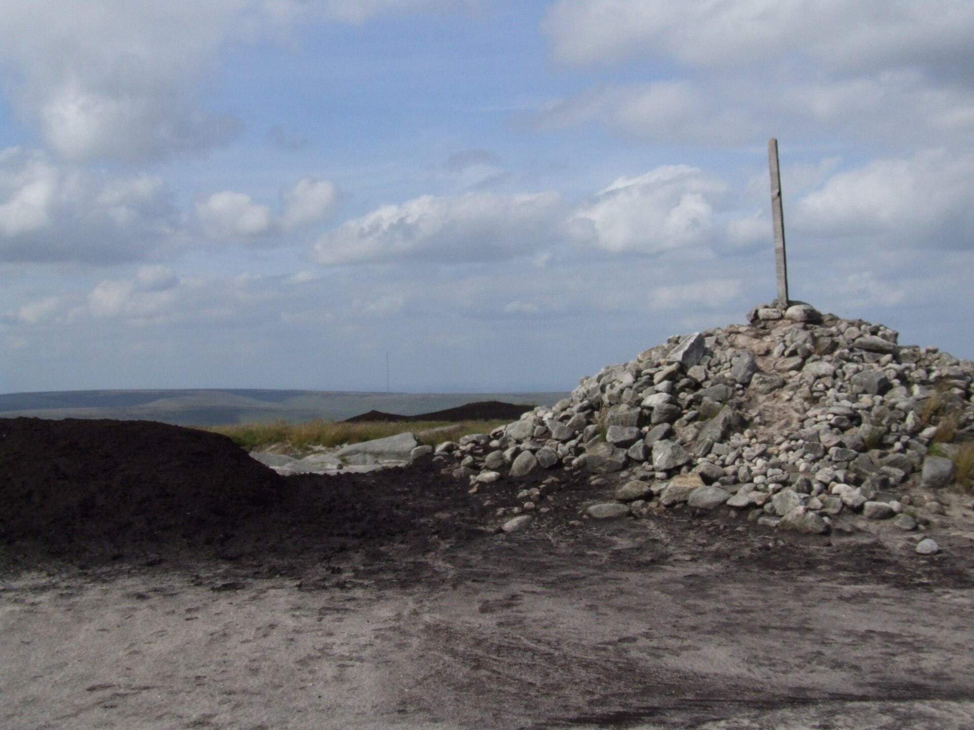
From the lay-by at the top of the Snake Pass, the track climbs onto the moor and joins the Pennine Way, passing Higher Shelf Stones, a 622m top marked by a trig point and, more strikingly, by wreckage still scattered across the peat. A Boeing RB-29A Superfortress named Over Exposed, flying from Scampton in Lincolnshire to Burtonwood near Warrington, struck the moor here on the morning of 3 November 1948, killing all thirteen men aboard; engine blocks, spars and fuselage sections remain where the aircraft came down. From the crash site the way continues to Bleaklow Head’s own summit, marked only by a small cairn on a peat hag, before a rougher return by Grains in the Water and Lady Clough.
Walking Britain gives the full round as 15.4km and 470m of ascent, five hours fifty minutes at a steady pace, over ground its own route notes describe as rough, boggy, wild and lonely, with tricky navigation should cloud come down. It suits a confident, well-equipped walker happy without a path underfoot for long stretches, map and compass in hand rather than relying on a trodden line across the peat; it does not suit a first hill day, a family outing, or anyone unwilling to get wet feet on Doctor’s Gate’s boggier sections. For high ground on a clear, well-trodden path, Mam Tor and the Great Ridge rise on the south side of the Edale valley, with no open moor to navigate.
Underfoot
Rough, boggy peat moorland, much of it pathless, following the packhorse track of Doctor's Gate onto the Pennine Way; Walking Britain's own route notes call the ground "rough, boggy, wild and lonely" and the navigation "tricky" in poor visibility.
Stay within reach of the start
Everything here is inside 12 km of Bleaklow Head and the B-29 wreck.
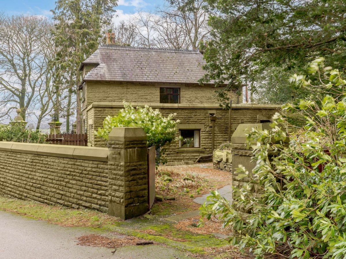
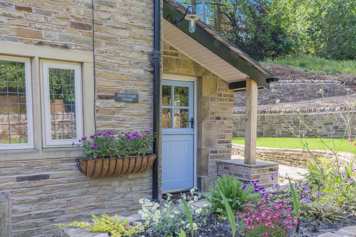
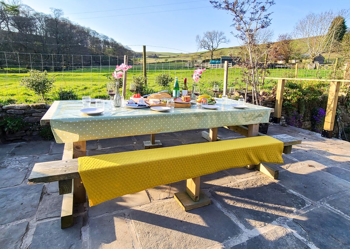
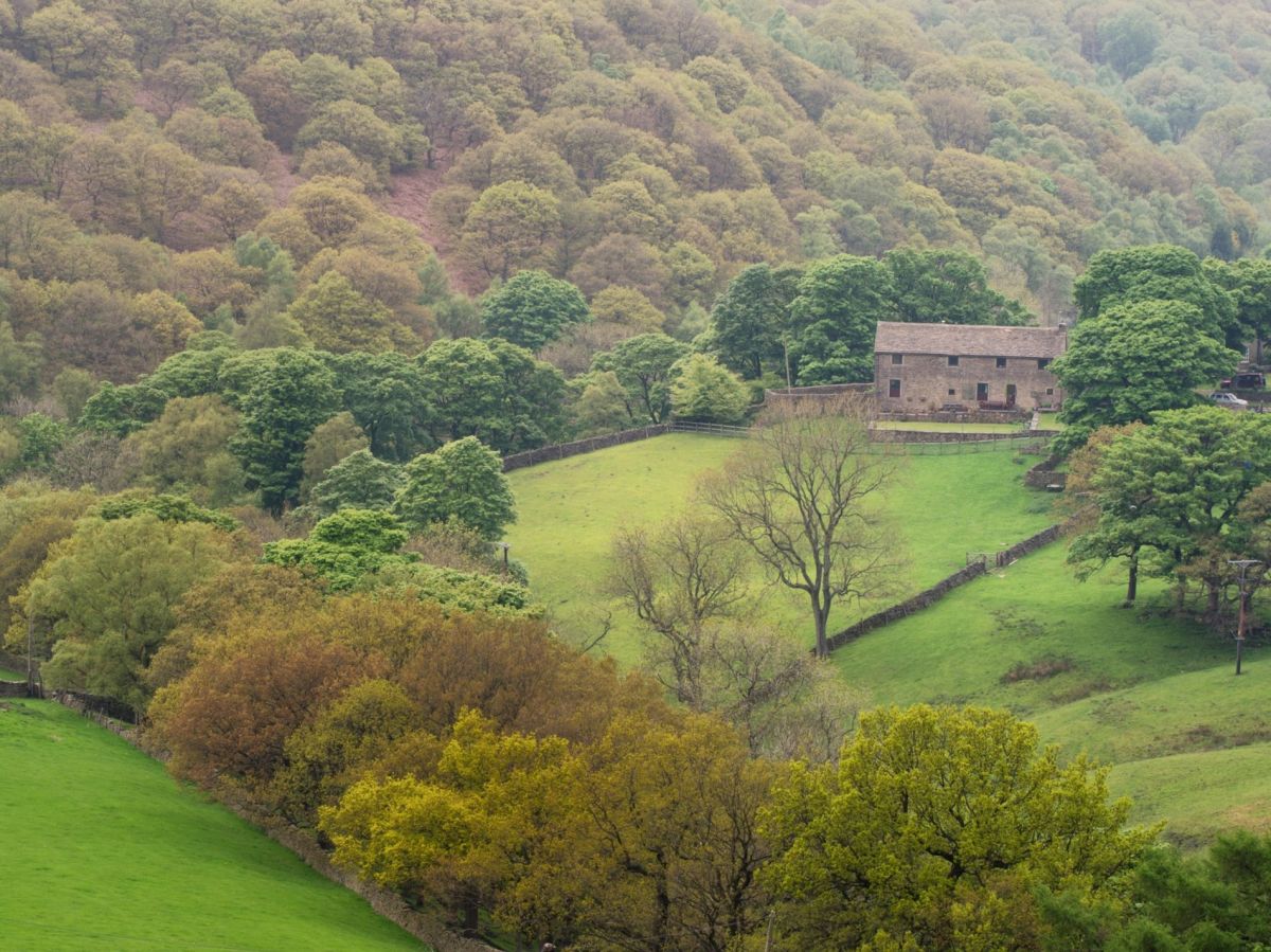
Little Hayfield, near High Peak, Derbyshire
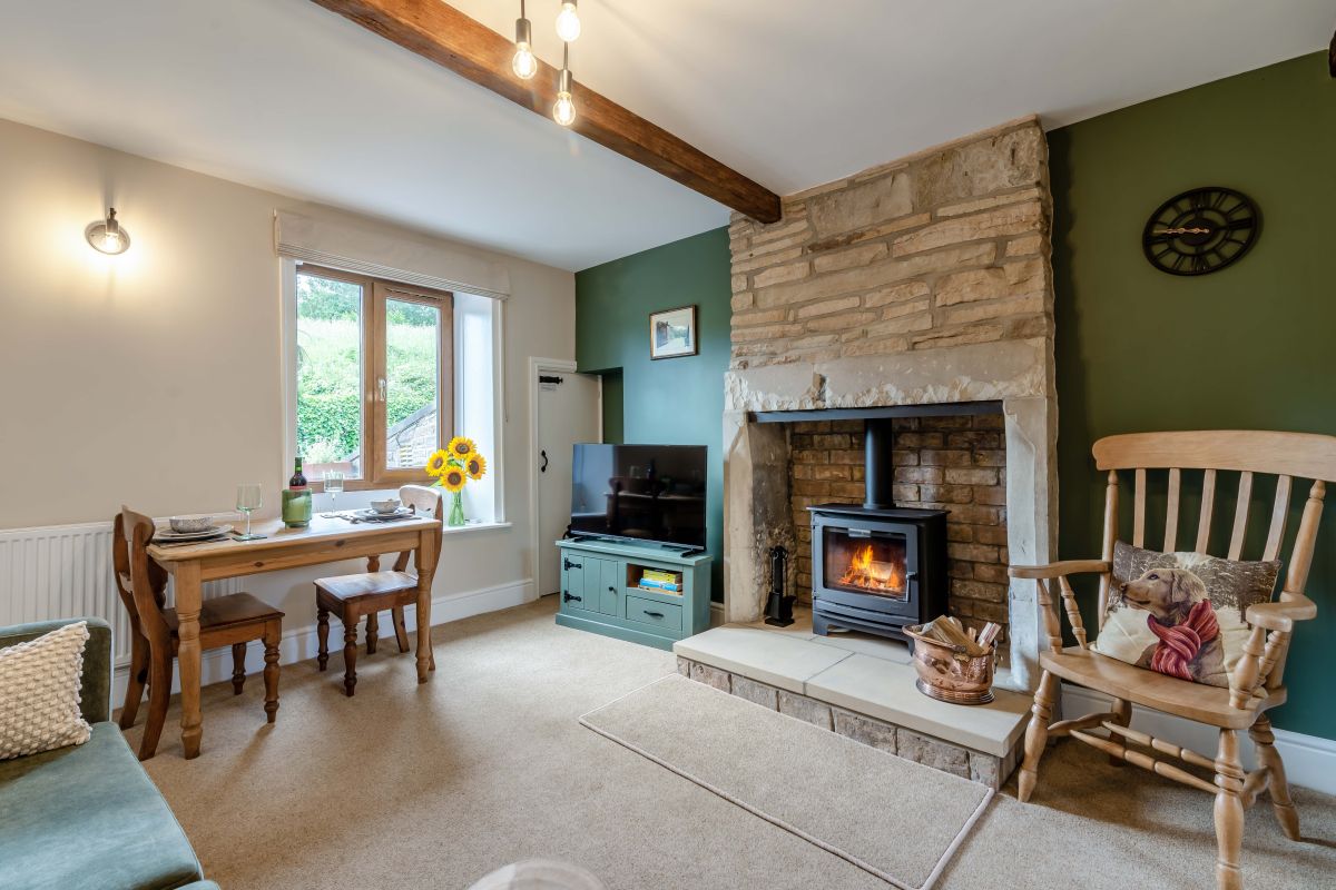
Carr Meadow View
Sleeps 8 · 4 beds
- Hot tub
- Wood burner
- Dogs

Distances, ascent and times here are planning figures taken from published sources, not a route description to navigate by. Take a map and check the forecast. We do not publish conditions, because nothing on this page is updated often enough for you to trust it on the day.