Kinder Scout via Grindsbrook Clough
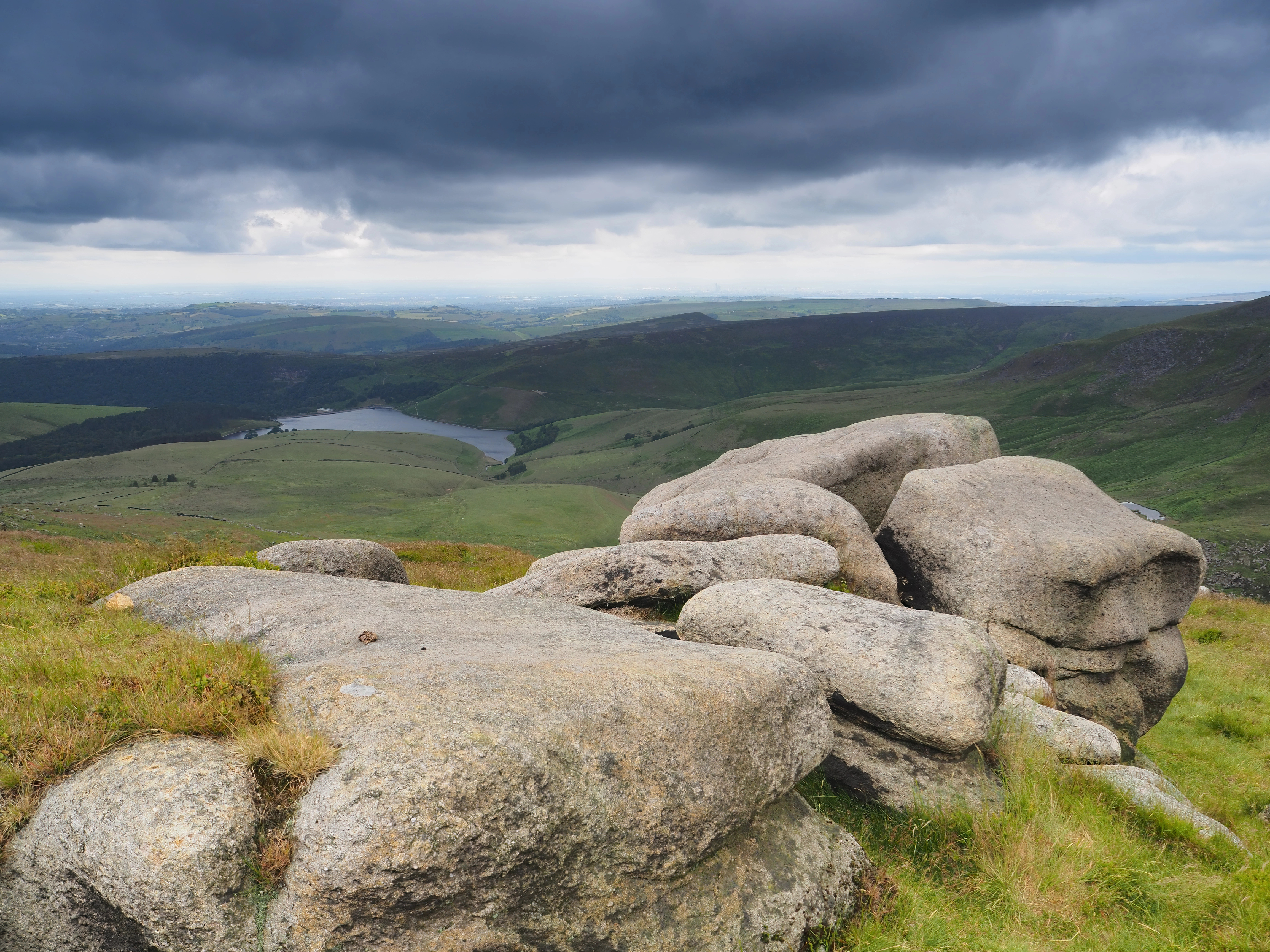
A hard circular walk from Edale onto the Kinder Scout plateau, ascending Grindsbrook Clough and returning via Jacob's Ladder.
- 12.7 km
- 527 m up
- 5 hr 30 min
- Hard
The end of the road, and the start of the Pennine Way.
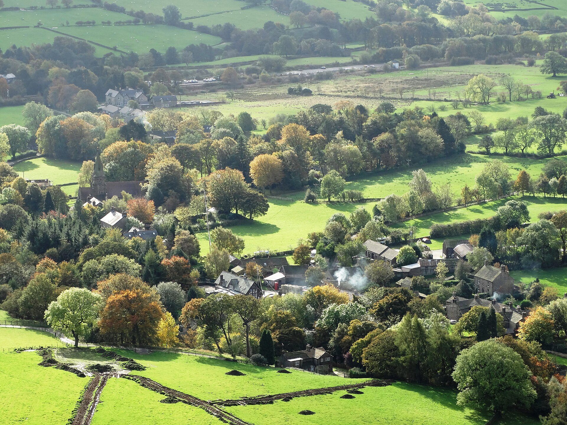
Edale
6
174
Edale sits at the head of its own small valley, with Kinder Scout’s plateau filling the skyline to the north and the Great Ridge closing off the view to the south. It is barely a hamlet: a scatter of stone houses, two pubs, a church and a station, strung along a lane that stops being useful to cars well before it stops being useful to walkers. What Edale has instead of size is position. It marks the southern end of the Pennine Way, and the Old Nags Head, a former smithy dating to 1577, claims the honour of being the official start.
Everything that matters here starts from the village itself. Grindsbrook Clough, the original line of the Pennine Way onto the Kinder plateau, begins a short walk from the green. Jacob’s Ladder and the packhorse route toward Edale Cross leave from Upper Booth, a short walk further up the valley. Mam Tor and the Great Ridge are reachable on foot too, via Hollins Cross, though most visitors drive round to the Mam Nick car park and shorten the approach considerably. A car adds little here beyond convenience: this is a place built around arriving by train and walking out in every direction. The exception is Bleaklow, the broad peat plateau north of Kinder across the Snake Pass, which starts from a lay-by on the A57 and is a drive from the village, the long moorland day for anyone who wants more than Kinder.
Edale’s own station, on the Hope Valley line between Sheffield and Manchester, sits close enough to the centre that a car is optional rather than necessary. The Moorland Centre at Fieldhead has had no public visitor centre since March 2025, when the Peak District National Park Authority ended its visitor facilities there; the Moors for the Future Partnership stays in the building, open by appointment only. The Authority lists toilets and the High Peak Borough Council pay and display car park at the bottom of the village. Two pubs and a small shop cover food and a pint; there is nothing on the plateau once you leave the valley, so carry what the day’s walk needs before you set off.
The village centre road cannot absorb visitor traffic and parking on it is close to impossible; use the large pay and display car park near the village hall, or park at the station.
A hard circular walk from Edale onto the Kinder Scout plateau, ascending Grindsbrook Clough and returning via Jacob's Ladder.
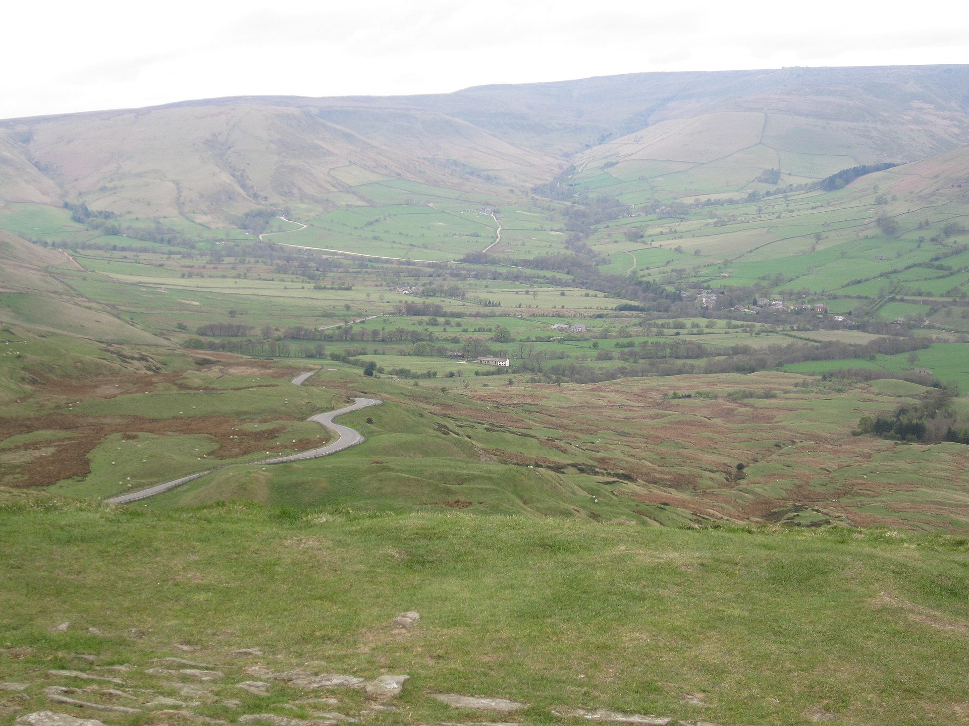
A circular walk onto Mam Tor's summit and along the start of the Great Ridge, including the abandoned Broken Road.
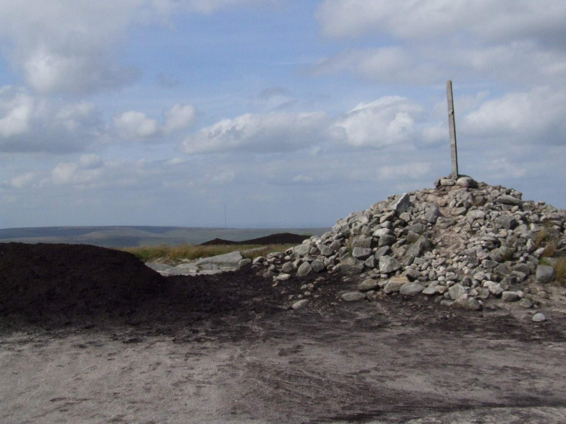
A rough moorland circuit from the Snake Pass onto Bleaklow Head, crossing Doctor's Gate to the wrecked B-29 bomber at Higher Shelf Stones.
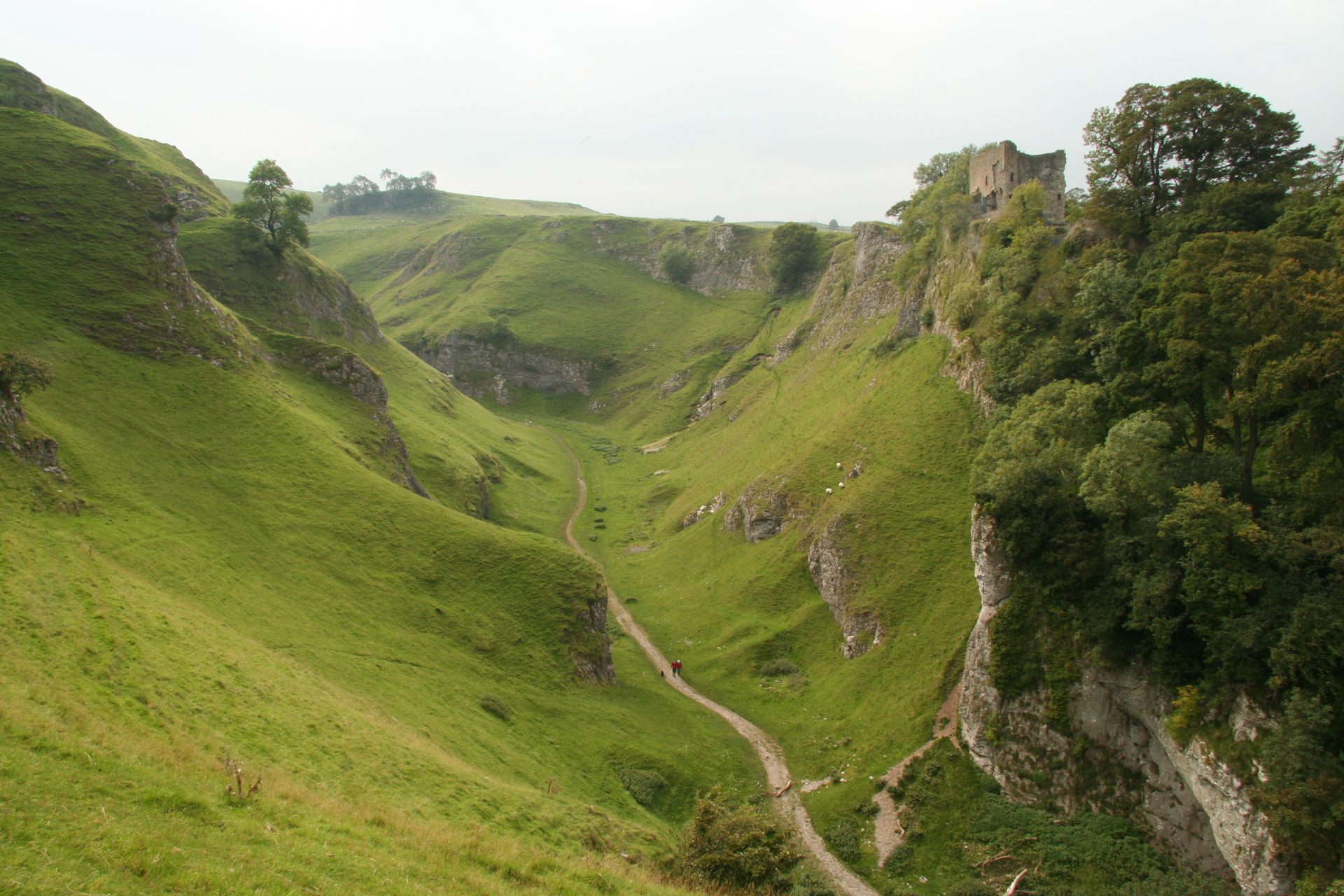
A short, steep circular walk from Castleton up a dry limestone gorge, past Peveril Castle, in the Peak District's Hope Valley.
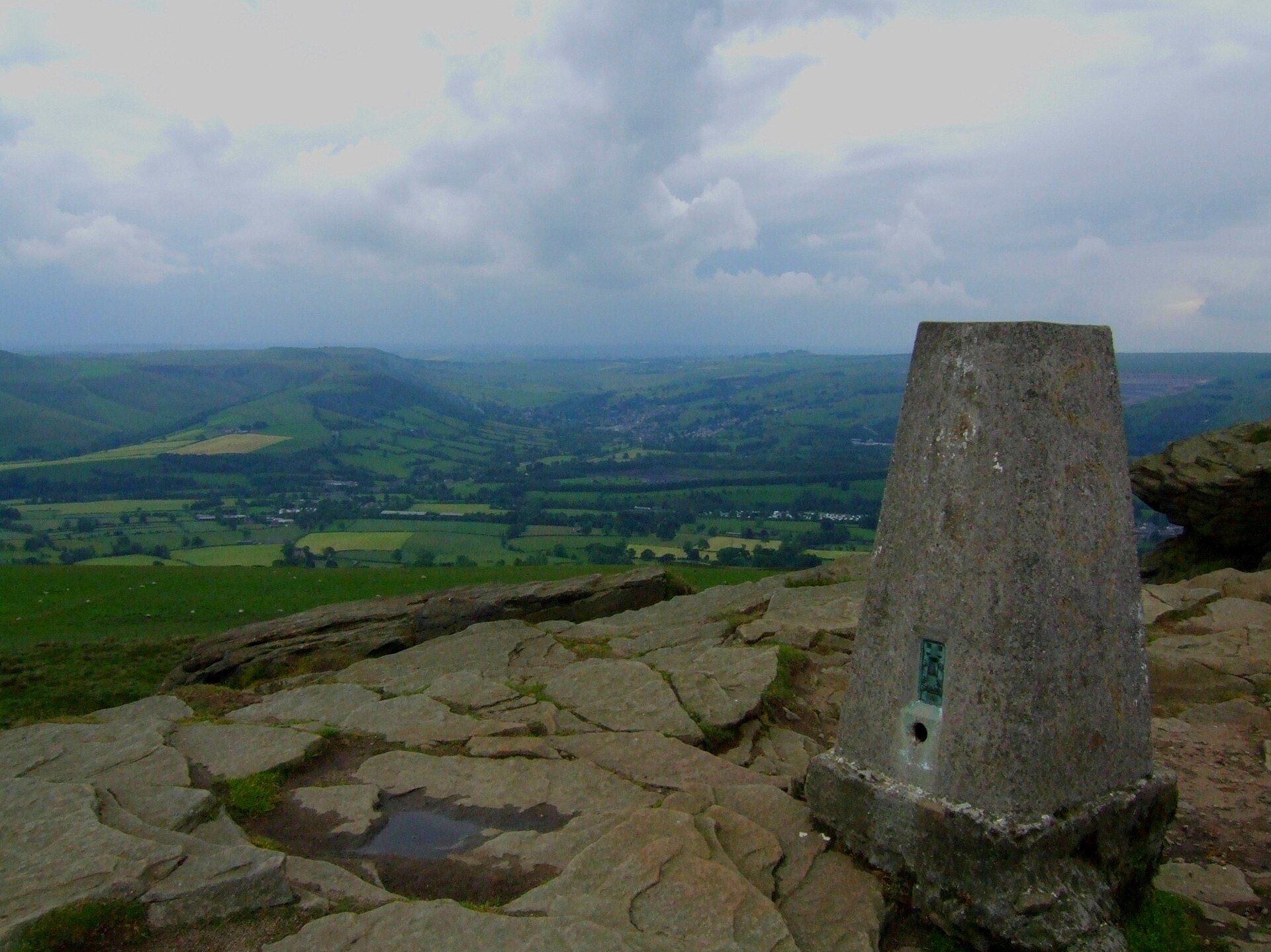
A full-day circular walk onto Win Hill's summit from Ladybower Reservoir, extending west along the ridge to the ancient marker at Hope Cross.
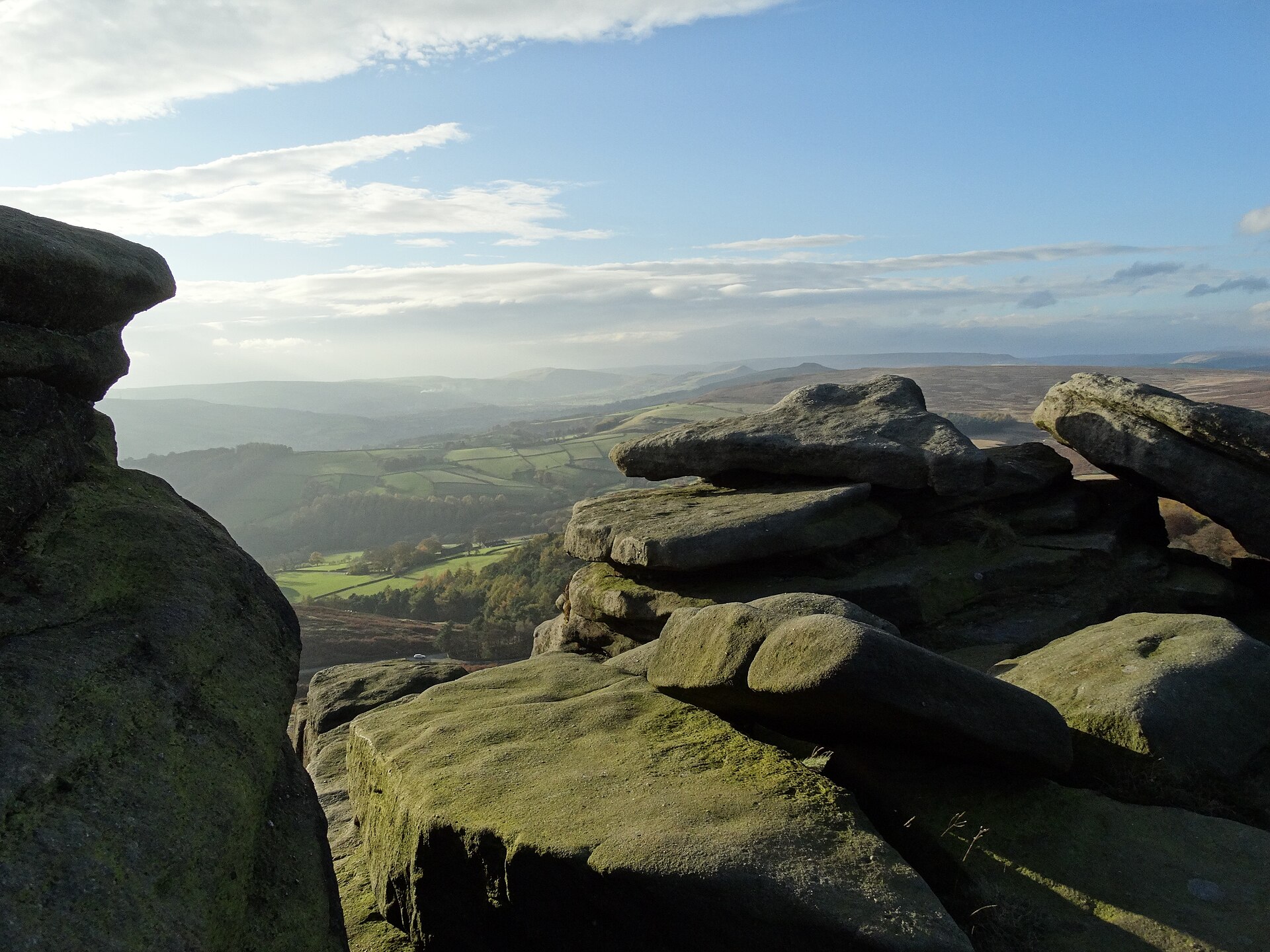
A circular walk along the top of Stanage Edge, the three-and-a-half-mile gritstone escarpment above Hathersage, taking in the High Neb trig point.
Reached by car, by lift or by a short walk, rather than a day on the hill.
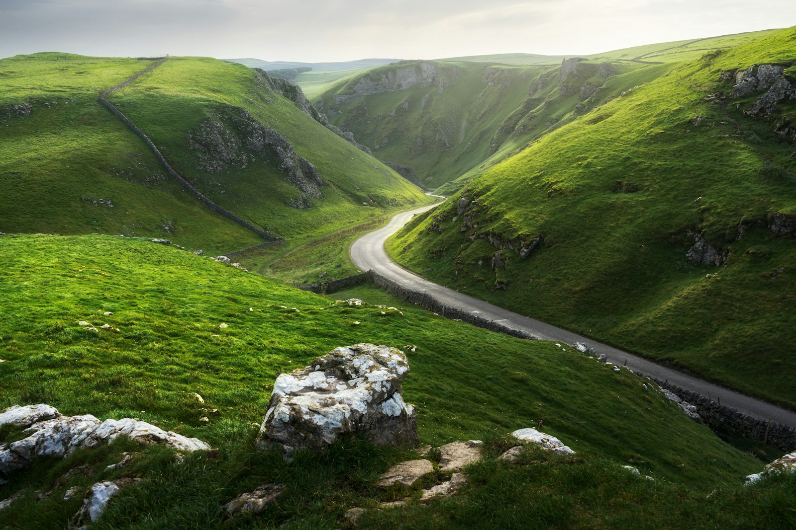
Winnats Pass is the limestone gorge road west of Castleton in the Peak District. Park at Speedwell Cavern or Castleton; walk beside the road or above it.
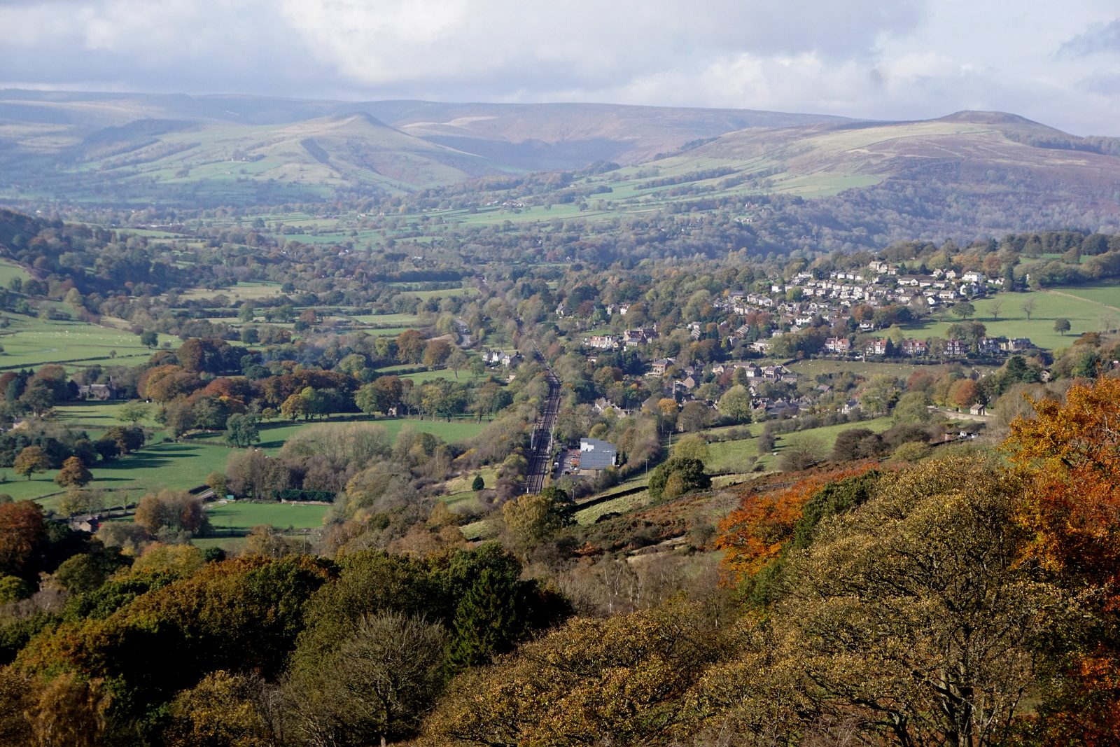
A roadside viewpoint above Hathersage looking across the Hope Valley to Mam Tor and the Great Ridge.
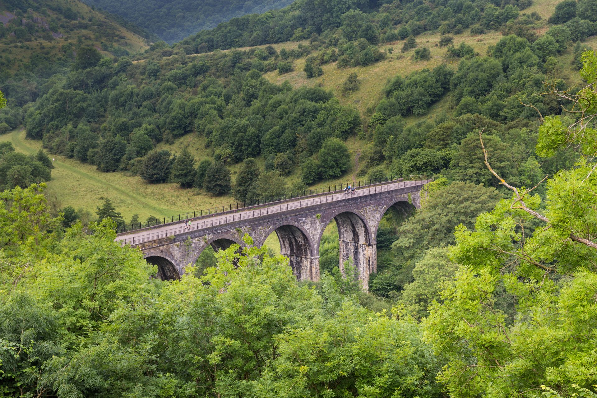
A viewpoint over Monsal Dale and the Headstone Viaduct, reached directly from a pay and display car park near Bakewell.
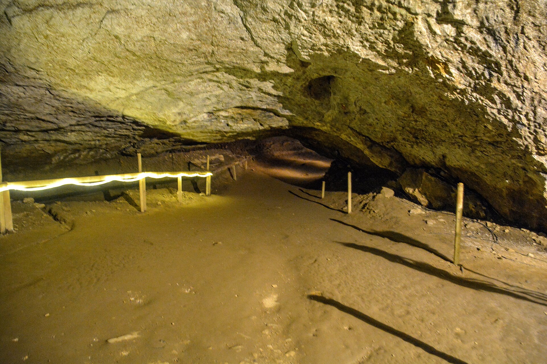
Britain's largest natural cave entrance, a show cave beneath Peveril Castle with a history of rope-making inside its mouth.
One of the most famous climbing venues in the UK, three miles of gritstone edge above Hathersage with routes at every grade.
Booking through these links earns a commission. The price is the same.
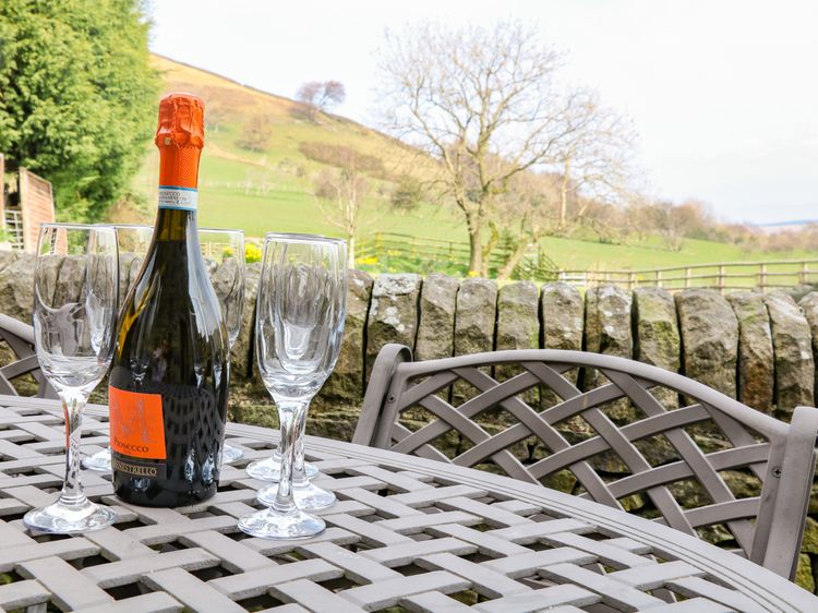
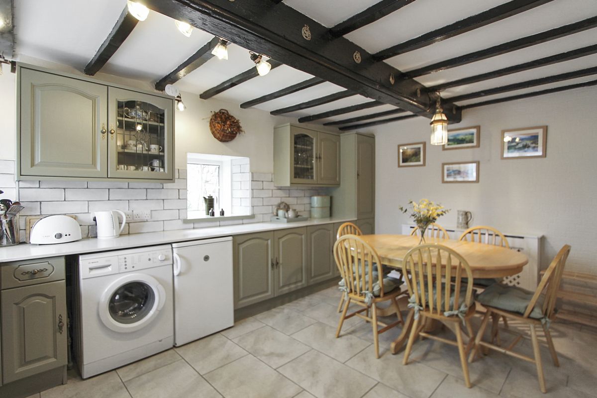
Edale
Sleeps 4 · 2 beds
from £492 / week
Check dates for Midfeather Cottage (opens the booking site in a new tab)Checked 9 Oct
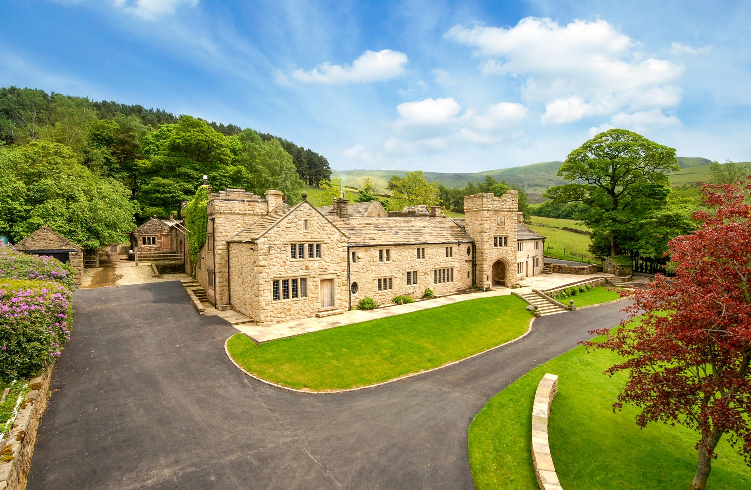
Hope Valley, Derbyshire
Sleeps 4 · 2 beds
from £963 / week
Check dates for Harry Eyre Cottage (opens the booking site in a new tab)Checked 5 Oct
Edale
Sleeps 2 · 1 bed
from £518 / week
Check dates for Hathaway Cottage (opens the booking site in a new tab)Checked 9 Oct
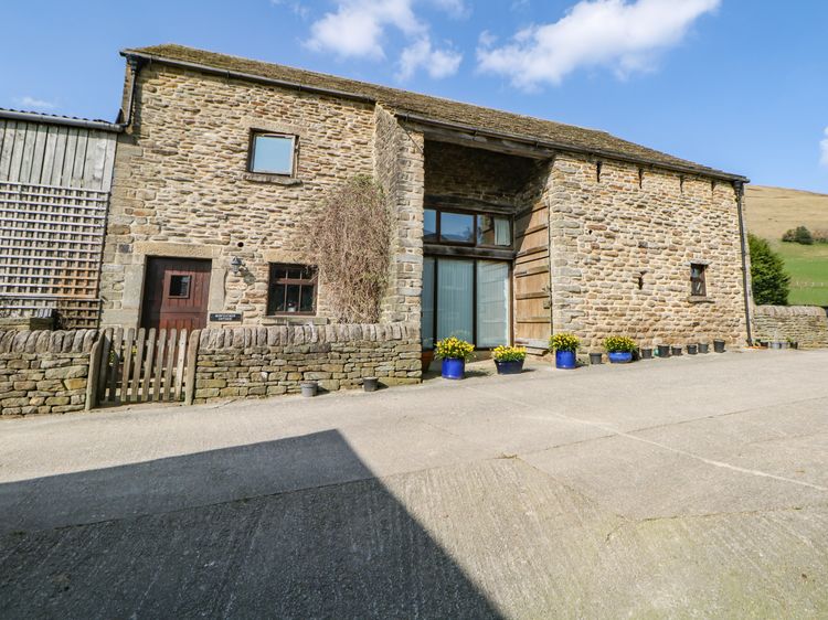
Hope Valley, Derbyshire
Sleeps 2 · 1 bed
from £678 / week
Check dates for Shippon Cottage (opens the booking site in a new tab)Checked 5 Oct