Stanage Edge
Near Hathersage, Peak District
- Distance
- 7.7 km
- Ascent
- 217 m
- Time
- 2 hr 30 min
- Difficulty
- Moderate
- Summit
- 458 m
- Shape
- Circular
- Parking
- Paid
- Dogs
- Yes: on a short lead at all times, the park authority requires
Start: Hollin Bank car park
Grid ref: SK 23808368
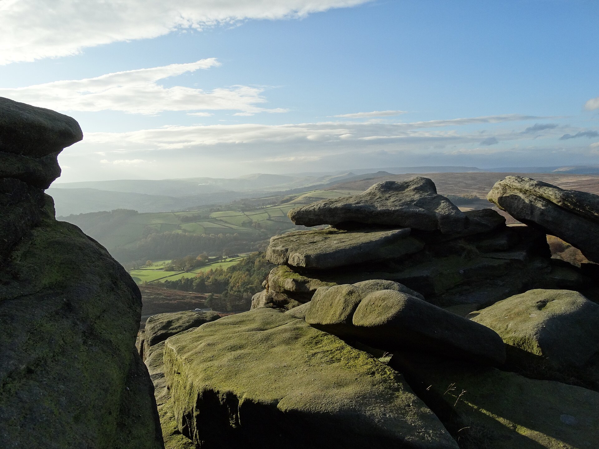
The climb from Hollin Bank car park onto the edge is short and steep, gaining height fast before the path settles onto the escarpment top for the rest of the walk. From there the route follows the top of the gritstone past High Neb to Stanage End, the rock weathered into the rounded shapes that gave it its climbing reputation, with the valley dropping away to the south-west and open moorland rolling back to the north-east, then returns along the path at the foot of the edge. High Neb, at 458 metres, is the high point of the edge and carries a trig point; abandoned millstones, cut and left when the trade collapsed, lie scattered along the base of the rock in several places.
Underfoot, the edge-top path is rocky and uneven rather than technical, though one stile partway round is steep enough to need care, and dogs in particular can find it awkward; the park authority requires dogs on a short lead at all times anywhere on the estate. The exposure is more psychological than real: the path stays back from the drop in most places.
The edge and the ground below it form the Stanage-North Lees estate, 542 hectares the national park bought in 1971, by the Authority’s own timeline, and the Authority still owns. This is as much a climbers’ venue as a walkers’ one. Expect company on the rock on any dry weekend, and be aware that during the ring ouzel nesting season the Authority can restrict climbing routes and some footpaths, with signage on site. Peak District Kids gives the circuit from Hollin Bank as 7.7km with 217m of ascent and two and a half hours without children. As a walk, it suits anyone reasonably fit and comfortable with a short, sharp climb at the start; it does not suit pushchairs or wheelchair users, and the rock underfoot rules out anyone unsteady on rough ground; Surprise View, a roadside viewpoint above Hathersage, looks across the same valley without the walk.
Underfoot
A rocky, uneven escarpment-top path, with a steep initial climb from the car park and one steep stile.
Stay within reach of the start
Booking through these links earns a commission. The price is the same.
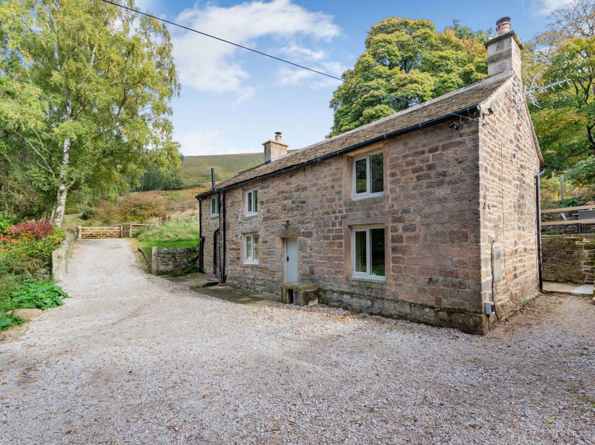
Hathersage, Hope Valley, Derbyshire
Cattis Side Cottage
Sleeps 4 · 2 beds
- Wood burner
- Dogs
from £791 / week
Check dates for Cattis Side Cottage (opens the booking site in a new tab)Checked 5 Oct
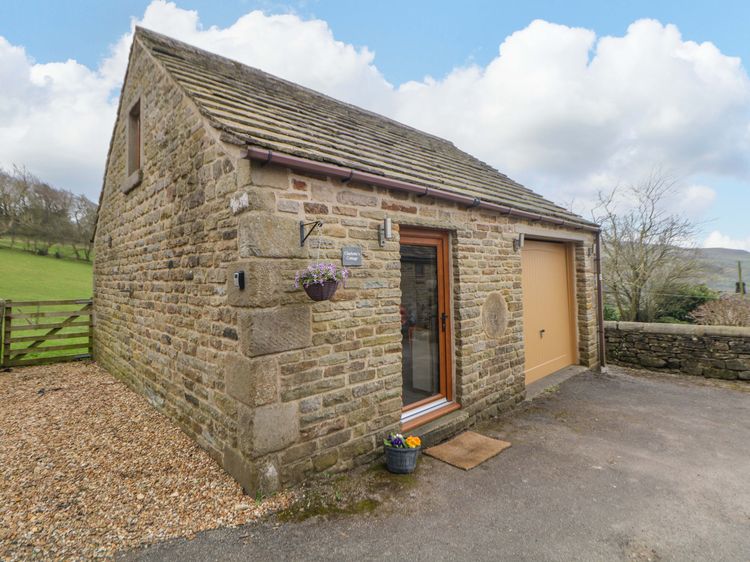
Hathersage
Charlotte’s Cottage
Sleeps 2 · 1 bed
- No dogs
from £405 / week
Check dates for Charlotte’s Cottage (opens the booking site in a new tab)Checked 9 Oct
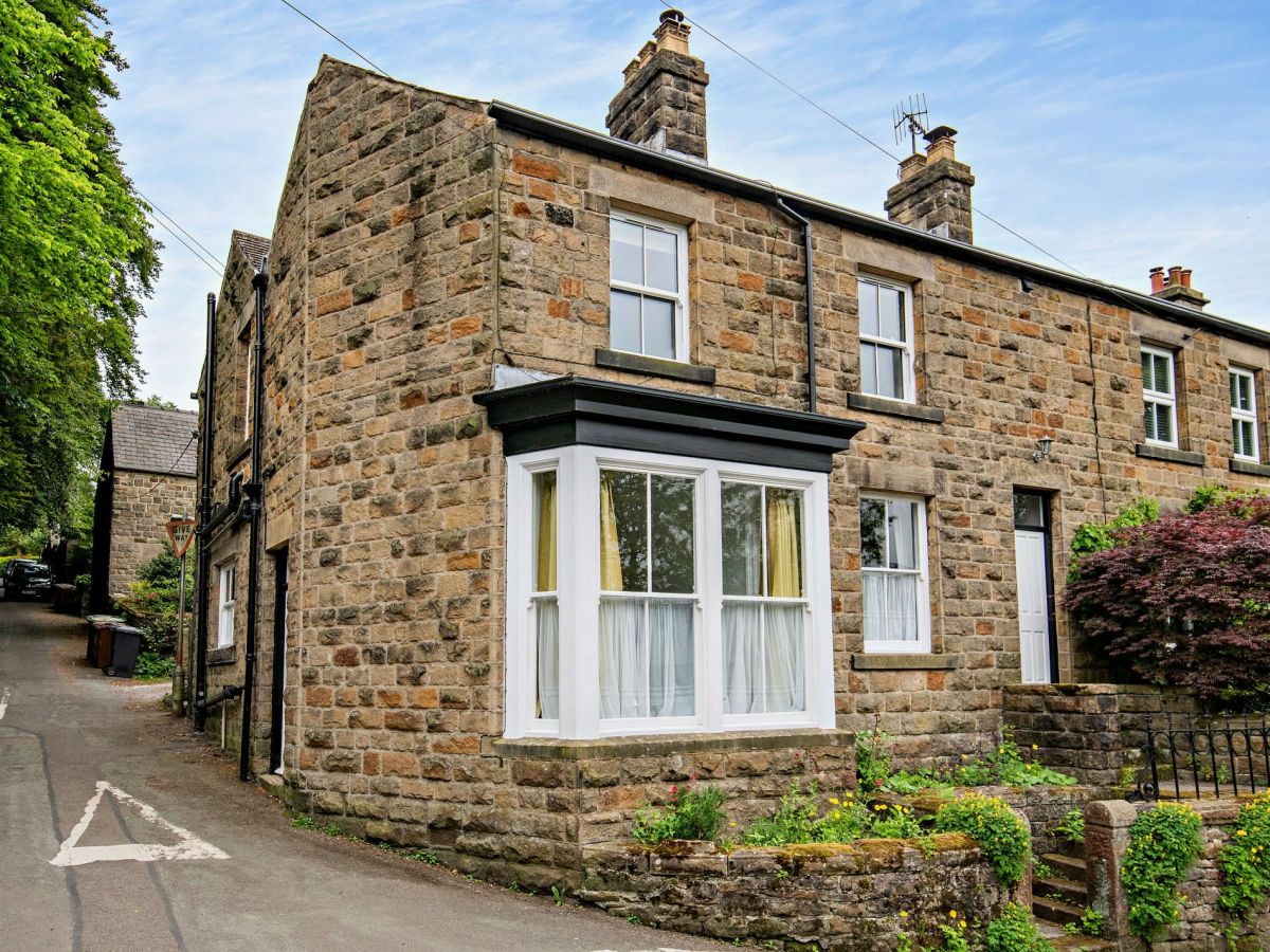
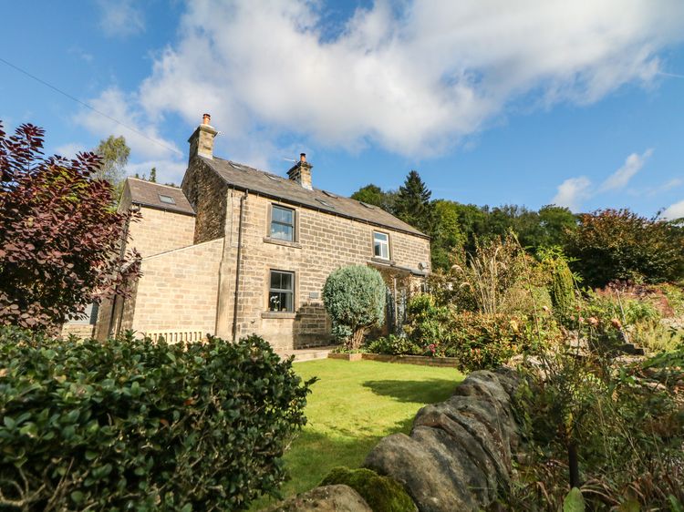
Hathersage
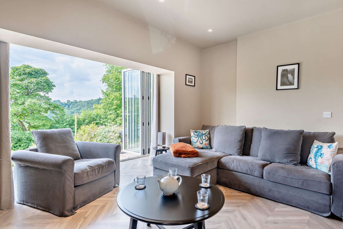
1 Orchard View
Sleeps 6 · 3 beds
- Wood burner
- No dogs
from £1,007 / week
Check dates for 1 Orchard View (opens the booking site in a new tab)Checked 9 Oct
Bamford, Hope Valley, Derbyshire
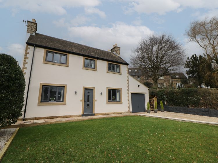
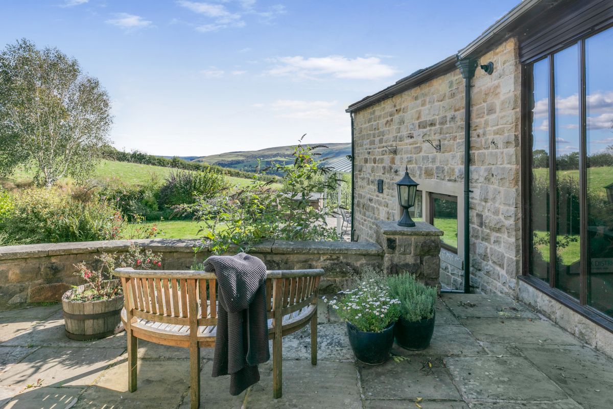
The Ridge in Bamford
Sleeps 8 · 4 beds
- Dogs
from £1,038 / week
Check dates for The Ridge in Bamford (opens the booking site in a new tab)Checked 5 Oct
Hope Valley, Derbyshire
Wellcroft Barn
Sleeps 8 · 4 beds
- Dogs
from £1,192 / week
Check dates for Wellcroft Barn (opens the booking site in a new tab)Checked 5 Oct
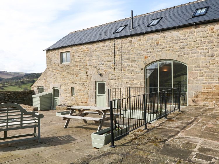
Hathersage
Broadwood Barn
Sleeps 6 · 3 beds
- Dogs
from £1,027 / week
Check dates for Broadwood Barn (opens the booking site in a new tab)Checked 9 Oct
Distances, ascent and times here are planning figures taken from published sources, not a route description to navigate by. Take a map and check the forecast.