Mam Tor and the Great Ridge
Near Castleton, Peak District
- Distance
- 4.2 km
- Ascent
- 239 m
- Time
- 2 hr
- Difficulty
- Moderate
- Summit
- 517 m
- Shape
- Circular
- Parking
- Paid
- Dogs
- Yes: on a lead at all times, the National Trust asks
Start: Mam Tor National Trust car park, Mam Nick
Grid ref: SK 12408333
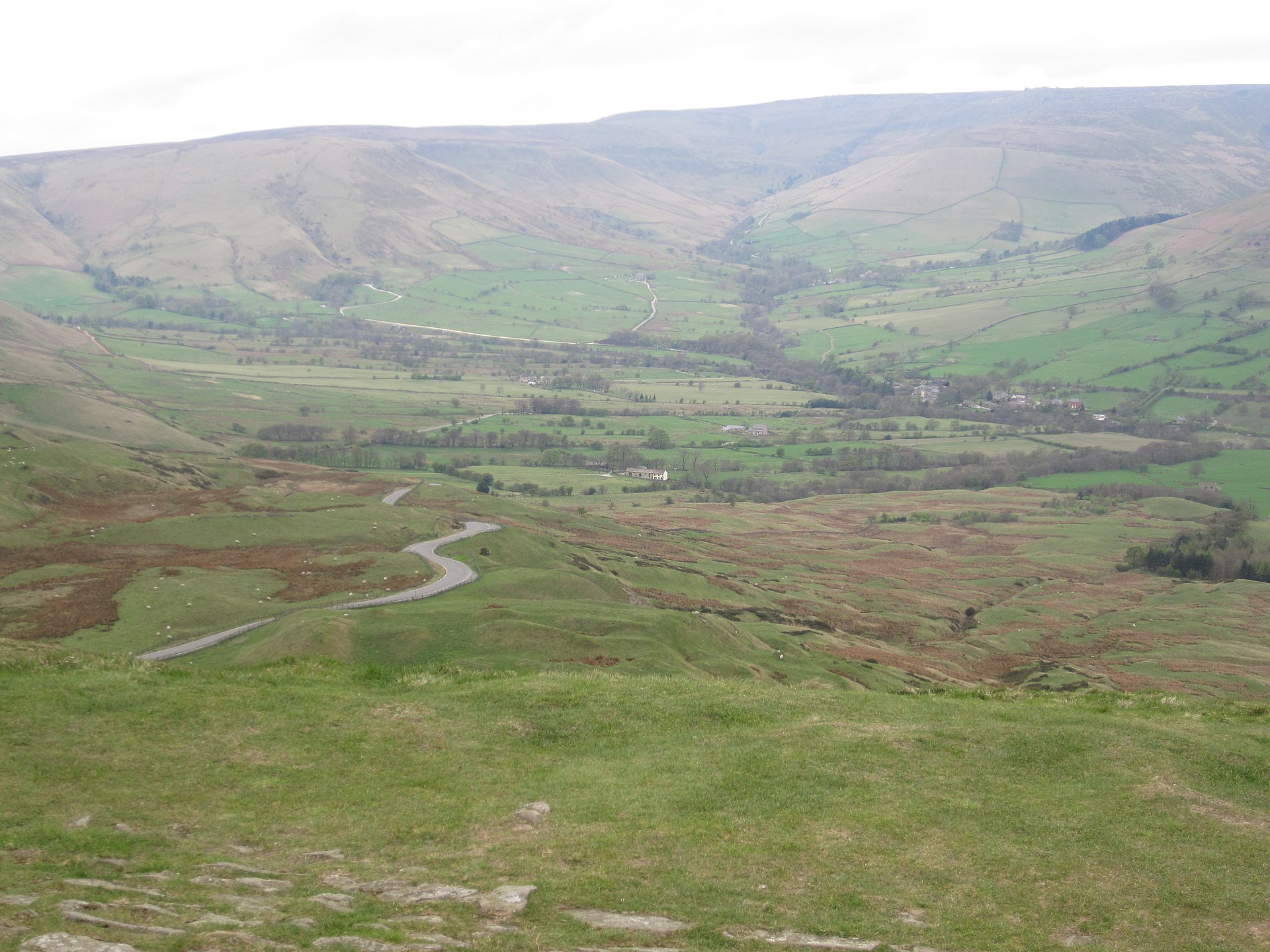
From the car park at Mam Nick, which the National Trust calls very small and says fills by 9am at peak times, the path climbs steadily and then steeply to the paved summit ridge. The top is flat and wide, the site of a late Bronze Age and early Iron Age hillfort whose ramparts are still visible as low banks in the turf, and on a clear day the view runs from Kinder Scout in the north round to the limestone plateau in the south. The National Trust owns this ground as part of its High Peak estate, and its rangers run the restoration work on Mam Tor and the neighbouring Odin Mine that accounts for the paving underfoot. The onward path follows the ridge toward Hollins Cross, the low col separating the Edale and Hope valleys, with the option to press on to Back Tor and Lose Hill for a longer day.
The return leg drops through woodland below the ridge, ground that turns soft and slippery within a day of rain, before climbing back along Broken Road: the old A625, which carried traffic between Sheffield and Chapel-en-le-Frith until repeated landslips forced its abandonment in 1979. The tarmac is still there, cracked and heaved into ridges by decades of ground movement.
None of the ascent is technical, but the summit path is exposed to wind from most directions, and the woodland section is slick underfoot when wet. Peak District Kids, which measures this loop at 4.2km with 239m of ascent, tells families with young children to allow a good two and a half to three hours; the National Trust allows two hours for its version, 4.8km with a detour by Blue John Cavern and Windy Knoll. Even this shorter version of the Great Ridge means a steep climb to the summit and a steady one back along Broken Road, which rules it out for anyone who came for a flat half-hour; Winnats Pass shows the gorge from the road instead.
Underfoot
A steep initial climb to the summit, then woodland that turns muddy in wet months, before a steady climb back along the course of Broken Road.
Stay within reach of the start
Booking through these links earns a commission. The price is the same.
Castleton
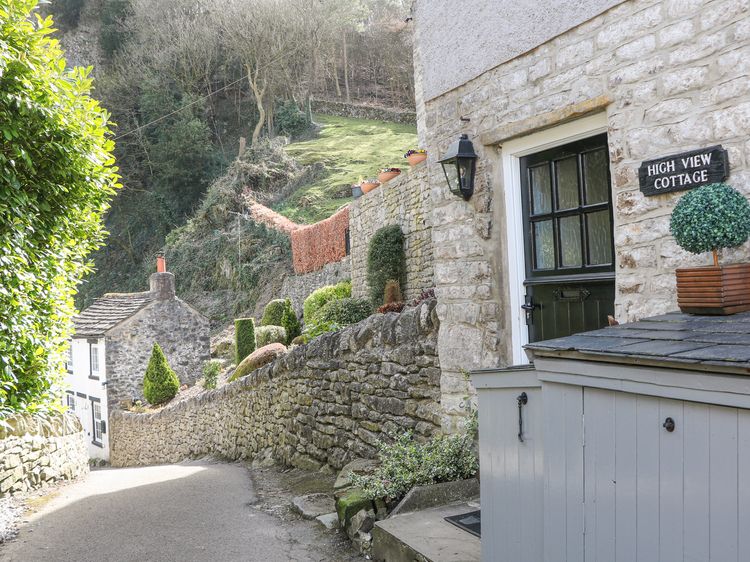
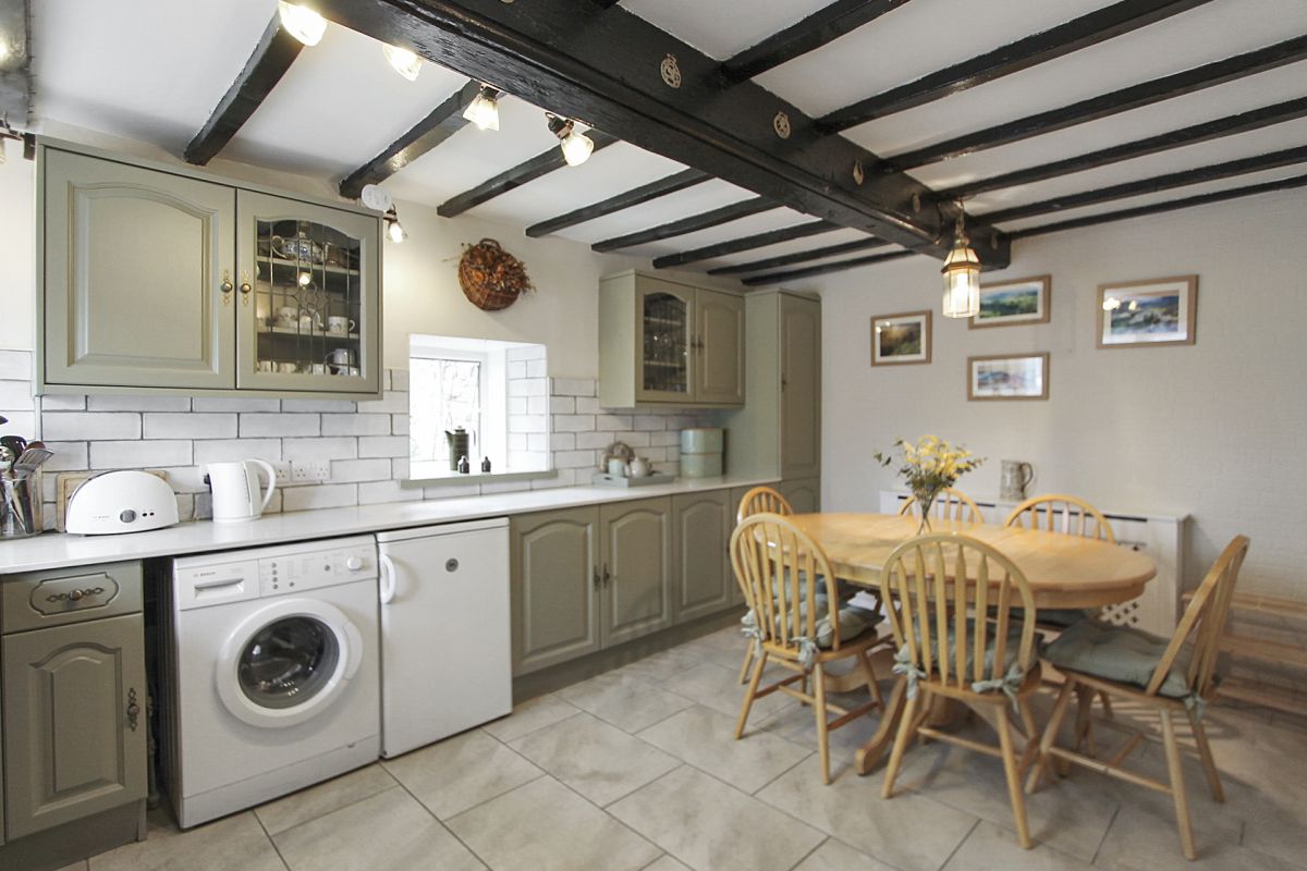
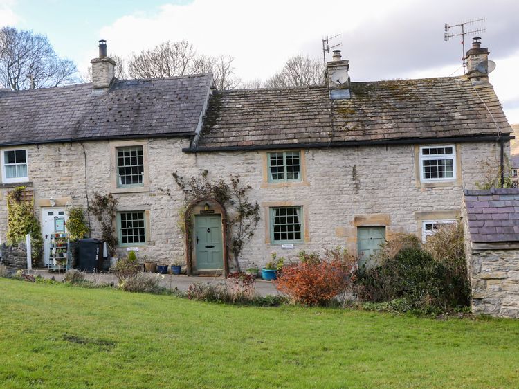
High View Cottage
Sleeps 2 · 1 bed
- Wood burner
- Dogs
from £620 / week
Check dates for High View Cottage (opens the booking site in a new tab)Checked 9 Oct
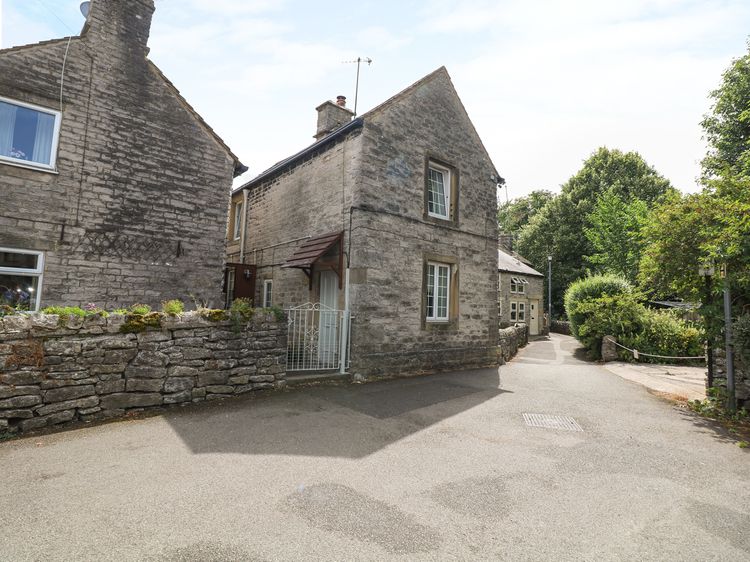
Castleton
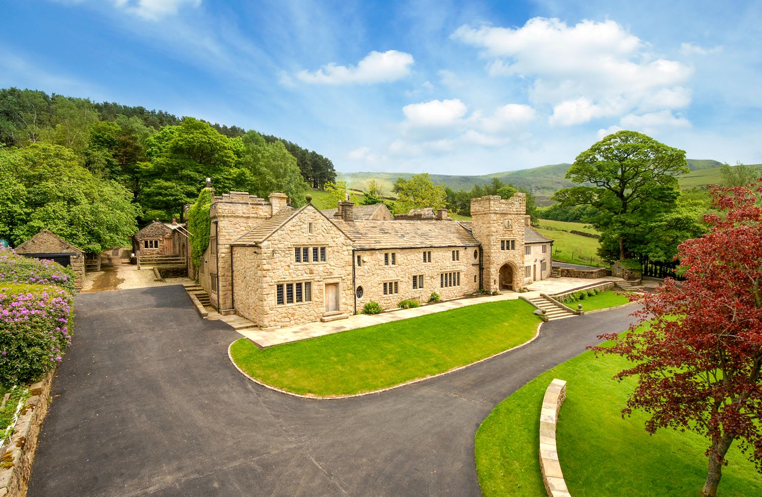
Buttercup Cottage
Sleeps 6 · 2 beds
- Dogs
from £885 / week
Check dates for Buttercup Cottage (opens the booking site in a new tab)Checked 9 Oct

Distances, ascent and times here are planning figures taken from published sources, not a route description to navigate by. Take a map and check the forecast.