Cave Dale
Near Castleton, Peak District
- Distance
- 6 km
- Ascent
- 256 m
- Time
- 2 hr 30 min
- Difficulty
- Moderate
- Shape
- Circular
- Parking
- Paid
Start: Castleton Visitor Centre car park, by the market square behind the church
Grid ref: SK 14968293
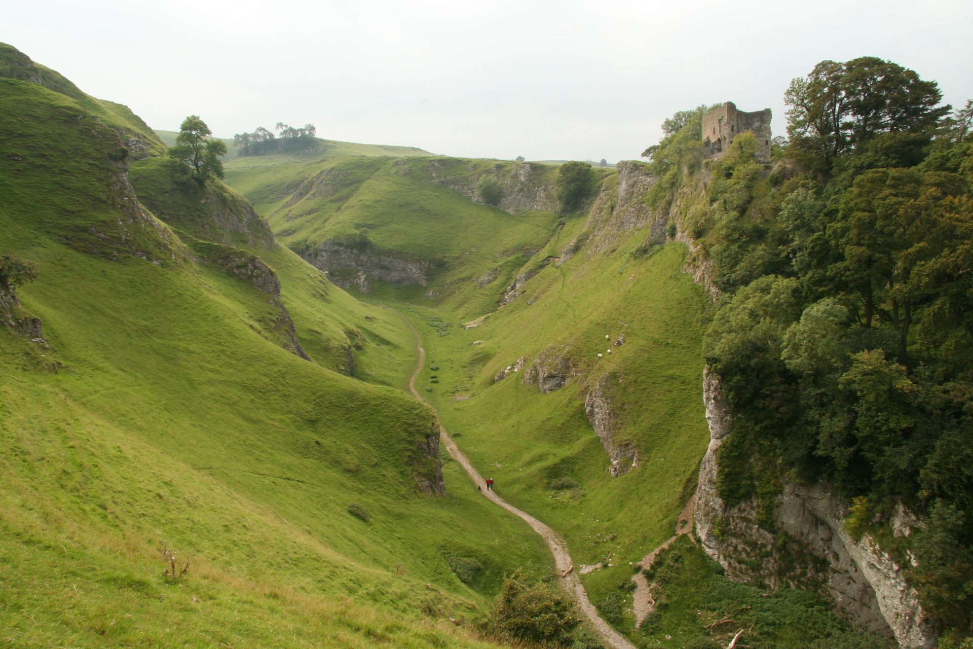
Cave Dale opens directly off the back of Castleton’s market place, behind the church, and changes character fast. Within a few hundred metres the path is walled in by limestone crags on both sides, with Peveril Castle’s curtain wall visible on the skyline above, and the valley floor, dry for most of its length, narrows to barely a path’s width in the tightest section.
The climb out of the dale is steady rather than relentless, but the ground is rocky and uneven throughout, loose in places, and after rain a stream reappears down the same channel the path follows, which makes for slow, careful going rather than a brisk walk. The reward at the top is a view back down the length of the dale and across to Mam Tor and the Great Ridge, before the route loops back past Peveril Castle, the Norman fortification that gave the village its name and is now in the care of English Heritage, and down into the village.
Guides disagree on the grade, with Walking Britain calling its Cave Dale and Winnats Pass circuit easy, but the final descent in particular is steep enough that Peak District Kids expects some bum sliding. Waterproof boots earn their keep here even in dry weather, given the loose stone, and it is not a walk for anyone unsteady on rough ground, who can see the same limestone from the road through Winnats Pass without leaving the car. The same guide, starting from the visitor centre car park, gives the loop as 6km with 256m of ascent and two and a half hours without children. Its short length and the castle at the end make it a good option when time or energy for a full day on Mam Tor or Kinder is not available.
Underfoot
A steep-sided, dry limestone gorge with a rocky, uneven path underfoot, loose stone in places, and a stream after heavy rain.
Stay within reach of the start
Booking through these links earns a commission. The price is the same.
Castleton
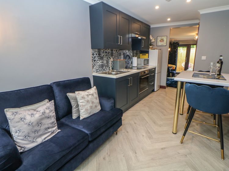
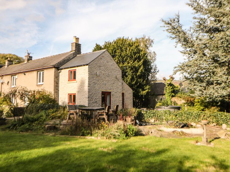
Croft Cottage
Sleeps 6 · 3 beds
- Hot tub
- Wood burner
- Dogs
from £1,018 / week
Check dates for Croft Cottage (opens the booking site in a new tab)Checked 9 Oct

Castleton, near Danby, Derbyshire
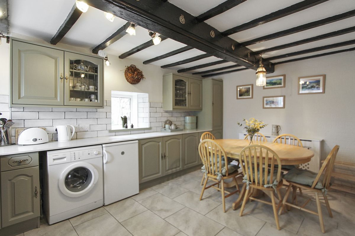
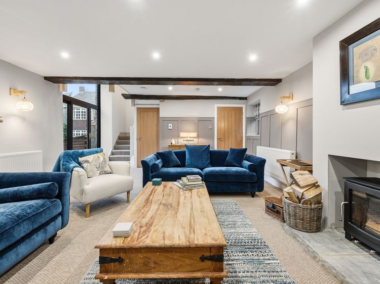
Oatcake Cottage
Sleeps 4 · 2 beds
- Dogs
from £543 / week
Check dates for Oatcake Cottage (opens the booking site in a new tab)Checked 5 Oct

Hope Valley, Derbyshire
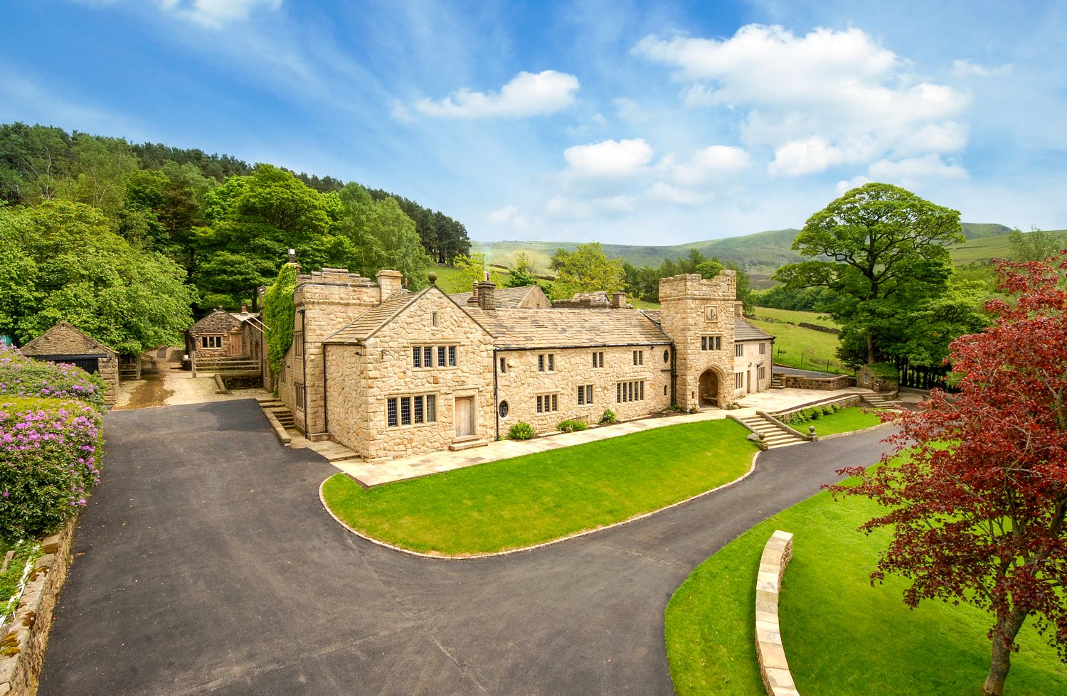
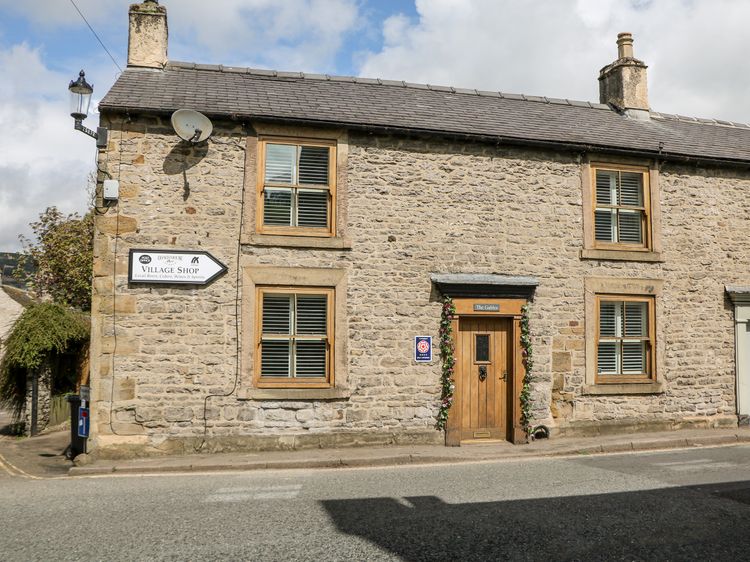
Harry Eyre Cottage
Sleeps 4 · 2 beds
- Wood burner
- Dogs
from £963 / week
Check dates for Harry Eyre Cottage (opens the booking site in a new tab)Checked 5 Oct
Distances, ascent and times here are planning figures taken from published sources, not a route description to navigate by. Take a map and check the forecast.