Thorpe Cloud and the Dovedale Stepping Stones
Near Hartington, Peak District
- Distance
- 2.6 km
- Ascent
- 182 m
- Moving time
- 1 hr 20 min
- Difficulty
- Moderate
- Summit
- 287 m
- Shape
- Circular
- Parking
- Paid
- Dogs
- Yes: on a short lead, the National Trust asks
Start: Dovedale National Trust car park, Thorpe
Grid ref: SK 14665098
Who this suits, and who it does not
196 places to stay within 12 km, from £376 a week See themThorpe Cloud is 287m high, about 942 feet, according to the Database of British and Irish Hills, an isolated limestone reef knoll standing at the southern end of Dovedale where the valley narrows to a wooded ravine on the Derbyshire and Staffordshire border. The National Trust has owned Dovedale since 1934, the same year Sir Robert McDougall gave it the neighbouring Ilam estate; further parcels of the valley followed until 1938, and the whole of Dovedale was declared a National Nature Reserve in 2006.
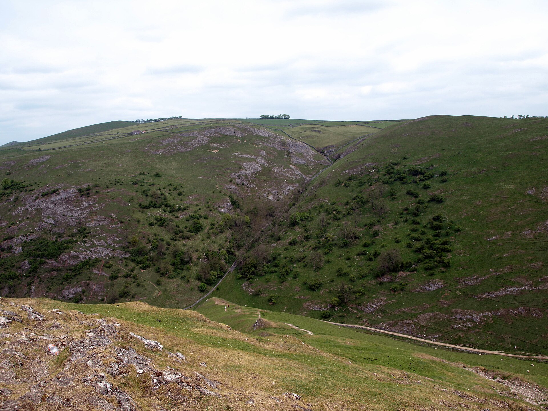
From the National Trust car park at Thorpe, a riverside path follows the Dove past the wooded ravine to the stepping stones, first laid across the river around 1890 for Victorian tourists and re-laid by the Trust in 2010 with mortared limestone slabs on all but one stone. Thorpe Cloud rises directly from the car park side of the crossing; the climb to its summit is the steep, rocky section of the walk, and Wikipedia calls it a fine viewpoint north up the dale and south across the Midland plain.
At 2.6km and 182m of ascent by Walking Britain’s measure, or 2.5km and 142m by Peak District Kids’, this is a short outing rather than a hill day, but the final climb is steep and rocky enough to rule out pushchairs and unsteady walkers, and the stepping stones themselves are unusable when the Dove is in spate. It suits a family wanting one summit view from a short walk. For a low-level alternative beside the same river, with one gentle climb out at the end, Wolfscote Dale, upstream of Dovedale, starts at Hartington.
Underfoot
A riverside path beside the Dove, crossed by the stepping stones, then a steeper, rockier climb onto Thorpe Cloud's summit that can be slippery when wet.
Stay within reach of the start
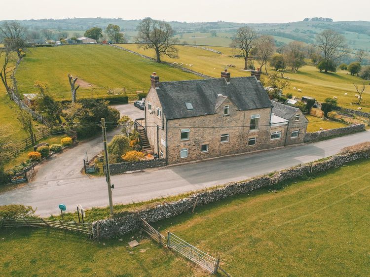
Ashbourne
Hillcrest House
Sleeps 22 · 10 beds
Under 1km from the start of this walk
- Hot tub
- Wood burner
- Dogs
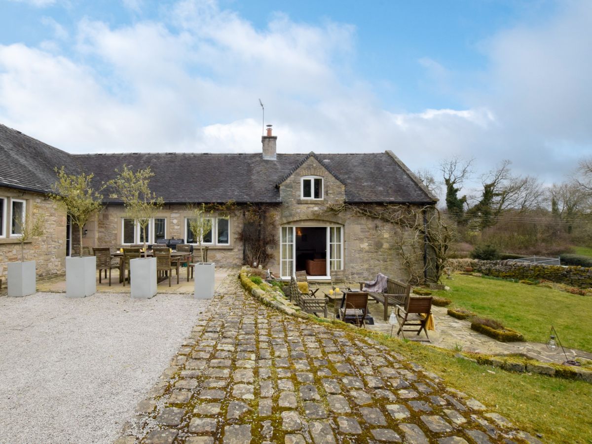
Thorpe, near Ashbourne, Derbyshire
Thorpe Green
Sleeps 9 · 5 beds
1.2km from the start of this walk
- Dogs
from £1,609 / week
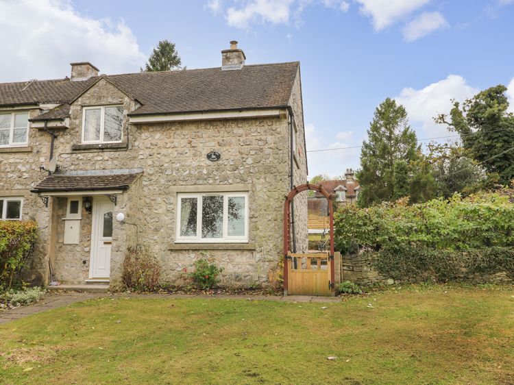
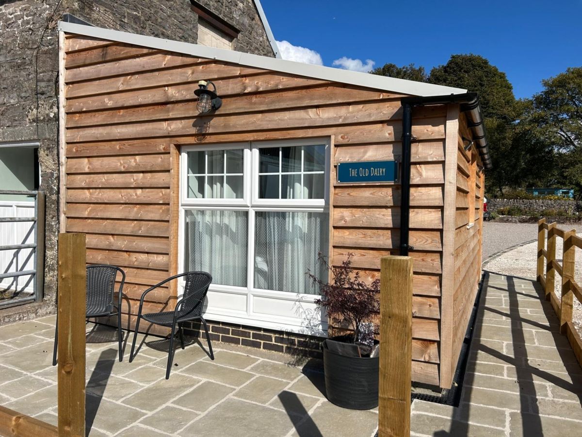
Ashbourne, Derbyshire
The Old Dairy - Ashbourne
Sleeps 2 · 1 bed
3km from the start of this walk
- No dogs
from £444 / week
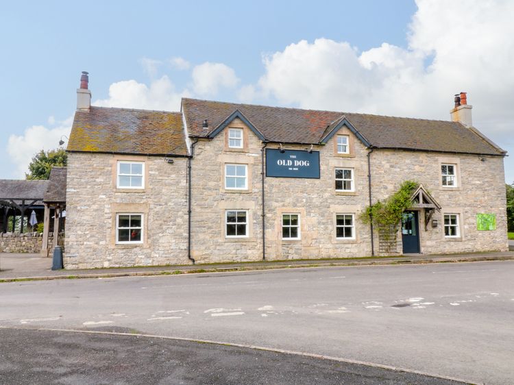
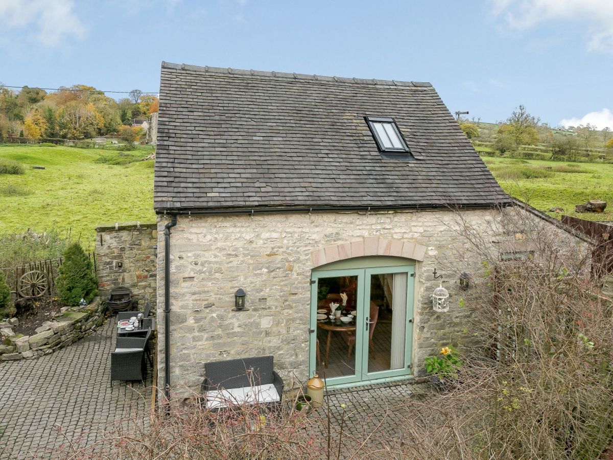
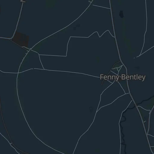
Fenny Bentley, near Ashbourne, Derbyshire
Ostlers Cottage
Sleeps 2 · 1 bed
3.1km from the start of this walk
- Wood burner
- No dogs
from £429 / week
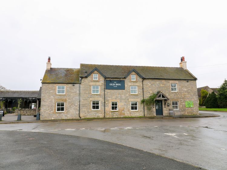
Ashbourne, Derbyshire
Littlemoor Farm
Sleeps 6 · 3 beds
3.2km from the start of this walk
- Wood burner
- No dogs
from £836 / week
Distances, ascent and times here are planning figures taken from published sources, not a route description to navigate by. Take a map and check the forecast.