Yr Wyddfa by the Watkin Path
Near Beddgelert, Eryri
- Distance
- 13 km
- Ascent
- 1015 m
- Time
- 6 hr
- Difficulty
- Hard
- Summit
- 1085 m
- Shape
- There and back
Start: Pont Bethania car park, Nant Gwynant
Grid ref: SH 627507
The Watkin Path starts lower than any of Yr Wyddfa’s other five paths, at Pont Bethania in Nant Gwynant, around 3 miles from Beddgelert along the A498, and so climbs the greatest total height of any of them to reach the same 1,085m summit. It is named for Sir Edward Watkin, the railway entrepreneur and Liberal MP who built it and opened it in 1892 with a speech by the prime minister, William Gladstone, to a crowd Eryri National Park Authority puts at over 2,000; an inscribed rock beside the path marks where he spoke. The park authority records it as the first designated footpath in Britain.
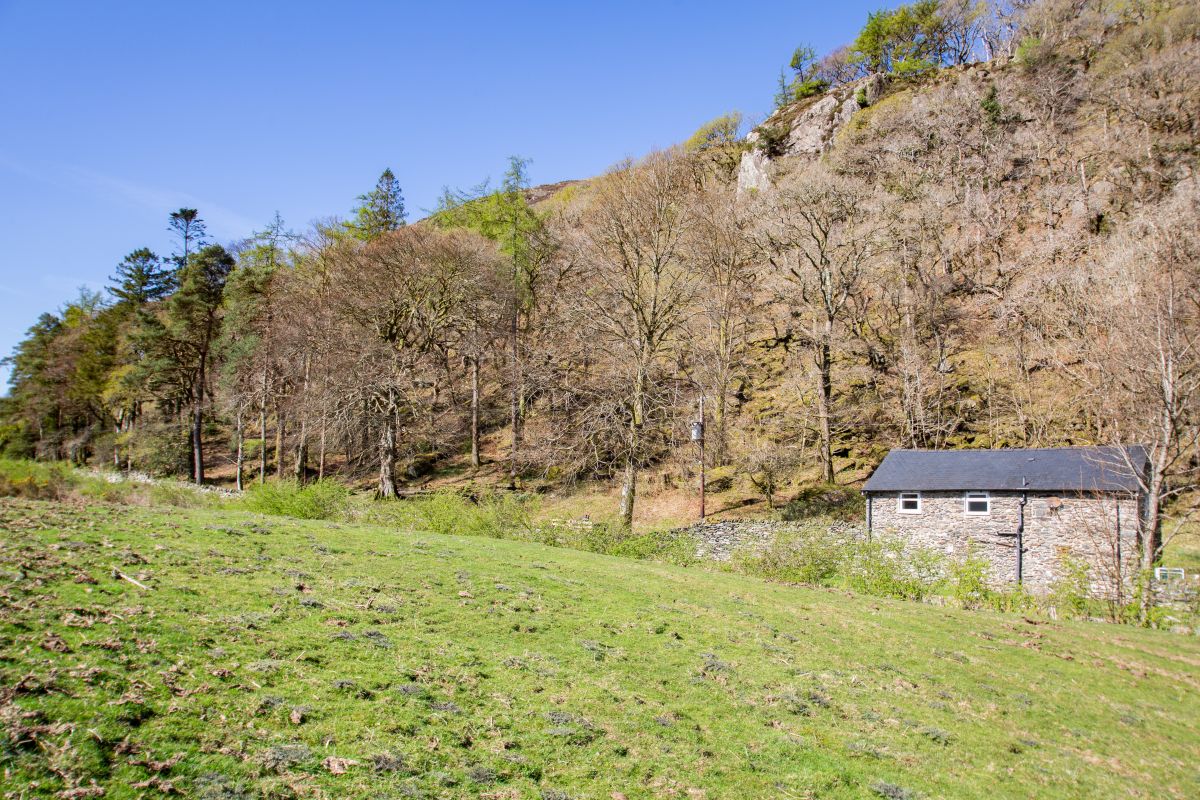
From the car park the route climbs through woodland past a series of waterfalls, then follows Afon Cwm Llan up a valley worked for slate into the early twentieth century, passing the ruins of quarry buildings and an old incline at Plas Cwm Llan, the former quarry manager’s house. Beyond the quarry the path steepens considerably, crossing loose scree with short scrambling sections to reach Bwlch y Saethau, the Pass of the Arrows, a col that miners from Beddgelert once crossed with the help of iron chains fixed to the rock, before the final pull to the summit ridge, where the Watkin Path joins the Rhyd-Ddu Path for the last stretch to the top.
Eryri National Park Authority rates the route hard and strenuous, giving the round trip from Nant Gwynant as 13km and 1,015m of ascent, about six hours, and warns that parking at Pont Bethania is extremely limited, recommending the Sherpa’r Wyddfa bus service instead. The combination of a low start, sustained steep ground and scrambling near the top makes this a harder day than either the Llanberis Path or the Pyg Track, and it suits a fit walker who wants the quietest and most historic of the main routes rather than the shortest. It does not suit a first mountain day, anyone relying on finding a parking space on the day, or a walker wanting to avoid scrambling entirely; the Llanberis Path, reached from the opposite side of the mountain, keeps to a wide graded track throughout.
Underfoot
A well-made path through woodland and past waterfalls, climbing beside Afon Cwm Llan through old slate quarry workings, then steepening over loose scree with short sections of scrambling to reach the col at Bwlch y Saethau below the summit ridge.
Stay within reach of the start
Everything here is inside 14 km of Yr Wyddfa by the Watkin Path.
Distances, ascent and times here are planning figures taken from published sources, not a route description to navigate by. Take a map and check the forecast. We do not publish conditions, because nothing on this page is updated often enough for you to trust it on the day.