Yr Wyddfa by the Pyg Track
Near Llanberis, Eryri
- Distance
- 11 km
- Ascent
- 895 m
- Time
- 6 hr
- Difficulty
- Hard
- Summit
- 1085 m
- Shape
- There and back
- Parking
- Paid
Start: Pen-y-Pass car park
Grid ref: SH 647557
By Eryri National Park Authority’s figures the Pyg Track is the shortest of Yr Wyddfa’s six main paths and the more direct alternative to the Llanberis Path, climbing steeply from Pen-y-Pass, on the mountain road between Llanberis and Nant Gwynant, rather than looping round the mountain’s northern flank.
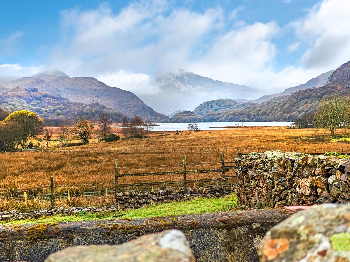
From the car park the path climbs directly to Bwlch y Moch, a col giving a clear view down to Llyn Llydaw and the causeway built across it in 1853, before which miners from the Britannia Copper Mine ferried horses and wagons of ore over the water on a raft; the building work turned up a prehistoric oak dug-out canoe. Beyond the col the Pyg Track runs along the mountainside below Crib Goch’s ridge, merging with the Miners’ Track before both climb together to Bwlch Glas, where the path meets the Llanberis Path and the line of the Snowdon Mountain Railway for the final few hundred metres to the summit cairn at 1,085m.
Eryri National Park Authority rates the Pyg Track hard and strenuous, and gives the round trip from Pen-y-Pass as 11km and 895m of ascent, about six hours. The path itself needs no scrambling, but it passes directly beneath Crib Goch, which the park authority describes as “a 500-metre knife-edge ridge with no escape route.” It suits a walker who wants the shortest, most direct line to the summit and is content on a rocky, exposed path, rather than someone after a first hill day. For the ridge itself rather than a route that skirts beneath it, the Snowdon Horseshoe over Crib Goch starts from the same car park; for an easier gradient at the cost of extra distance, the Llanberis Path is the standard first ascent.
Underfoot
A rocky, well-trodden path climbing steeply to the col at Bwlch y Moch, then running below Crib Goch's ridge before joining the Miners' Track and climbing together to Bwlch Glas for the final approach to the summit.
Stay within reach of the start
Everything here is inside 14 km of Yr Wyddfa by the Pyg Track.
Distances, ascent and times here are planning figures taken from published sources, not a route description to navigate by. Take a map and check the forecast. We do not publish conditions, because nothing on this page is updated often enough for you to trust it on the day.