The Calf from Sedbergh
Near Sedbergh, Yorkshire Dales
- Distance
- 13 km
- Ascent
- 800 m
- Time
- 4 hr 30 min
- Difficulty
- Moderate
- Summit
- 676 m
- Shape
- Circular
- Parking
- Paid
Start: Sedbergh Information Centre, Main Street, with pay and display parking nearby
Grid ref: SD 659921
The Calf is the highest summit in the Howgill Fells at 676m, according to the Yorkshire Dales National Park Authority, which lists Calders and Arant Haw as the range’s other named tops. The park took in the Howgills when it extended its boundary on 1 August 2016, adding 417 square kilometres of Cumbria and Lancashire. The park authority quotes Alfred Wainwright’s description of the Howgills as “a herd of sleeping elephants”, a fair account of their steep, rounded flanks. Wikipedia’s summary of the geology explains why they look so unlike the dales to the south: lower Palaeozoic slates and gritstones, not limestone.
The standard route starts in Sedbergh itself. Visit Sedbergh, the town’s information centre, describes it from its office at 72 Main Street: Joss Lane, then Settlebeck Gill through a series of gates onto open fell, a steep ramp, boggy ground, and the main bridleway through Rowantree Grains and Calders to the trig pillar on The Calf. Walking Britain places the start at SD 659921, in a pay and display car park near the information centre. The summit is a plateau so flat that, in the park authority’s words, it hides the foreground, though it gives a twenty-mile skyline of the Lakeland peaks and the Yorkshire Three Peaks.
The longer alternative goes up the River Rawthey to Cautley Spout, which Visit Sedbergh calls England’s highest waterfall above ground. Walking Britain’s version climbs beside it and returns over Bram Rigg Top and Calders, at 16.3km and 697m of ascent. Visit Sedbergh warns of a crumbled section on the approach and says of the zigzag beside the falls that a fall into the gill could be fatal.
Visit Sedbergh gives the direct ascent as 13km and 800m, four to five hours, and says plainly that it is a mountain route and should be treated as one. Walking Britain notes that some sections have few landmarks, which matters on a flat summit in cloud. The direct route suits a fit walker who wants a full hill day on grass and bridleway with no scramble. A short outing, or a day led by waymarks, does not suit this hill, and the Cautley Spout version adds distance and a steep drop beside water. A shorter hill day on a path that is hard to lose is Pen-y-ghent, and Visit Sedbergh offers Winder, at 5.5km and 350m of ascent, from the same door.
Underfoot
Enclosed lanes and gated paths give way to open fell; the climb up Settlebeck Gill includes a steep ramp and boggy sections, and the summit is a flat grassy plateau with a trig pillar and few landmarks. The Cautley Spout variant uses a steep zigzag path beside the waterfall, where a fall into the gill could be fatal, and a crumbled section of path on the approach along the River Rawthey.
Stay within reach of the start
Everything here is inside 12 km of The Calf from Sedbergh.
Booking links on these earn us a commission. The price you pay is the same either way.
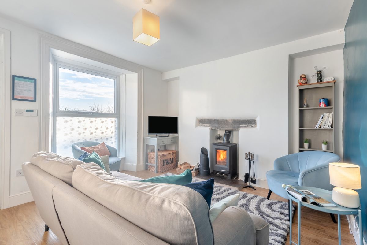
Sedbergh, Cumbria
New Street House
Sleeps 6 · 4 beds
- Wood burner
- Dogs
from £679 / week
Check dates for New Street House (opens the booking site in a new tab)Checked 7 Oct
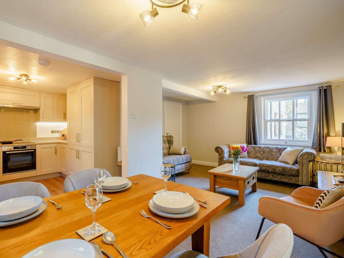
Sedbergh, Cumbria
Tangled Yarn Cottage
Sleeps 4 · 2 beds
- Wood burner
- Dogs
from £596 / week
Check dates for Tangled Yarn Cottage (opens the booking site in a new tab)Checked 7 Oct
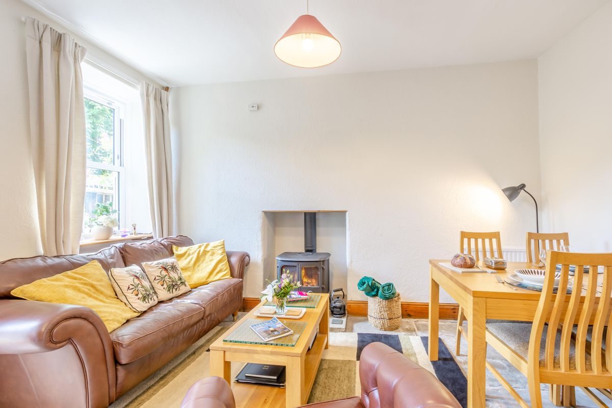
Sedbergh, Cumbria
Mountain View Cottage - Sedbergh
Sleeps 3 · 2 beds
- Dogs
from £506 / week
Check dates for Mountain View Cottage - Sedbergh (opens the booking site in a new tab)Checked 7 Oct
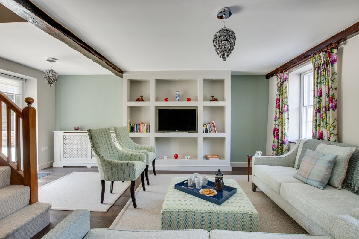
Sedbergh, Cumbria
Memories Cottage
Sleeps 6 · 3 beds
- No dogs
from £663 / week
Check dates for Memories Cottage (opens the booking site in a new tab)Checked 7 Oct
Millthrop, near Sedbergh, Cumbria
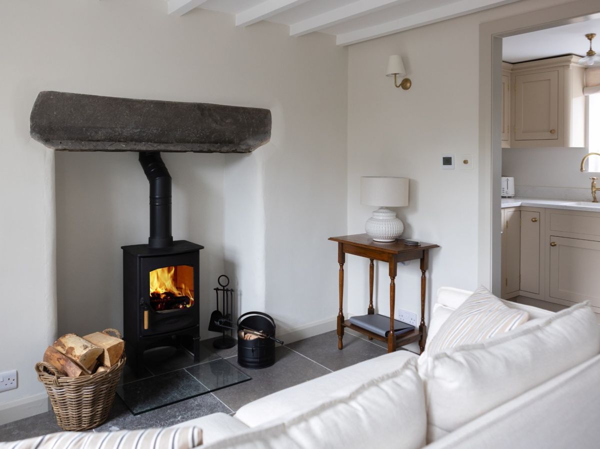
No.10 Millthrop
Sleeps 2 · 1 bed
- Wood burner
- Dogs
from £679 / week
Check dates for No.10 Millthrop (opens the booking site in a new tab)Checked 7 Oct
Sedbergh, Cumbria
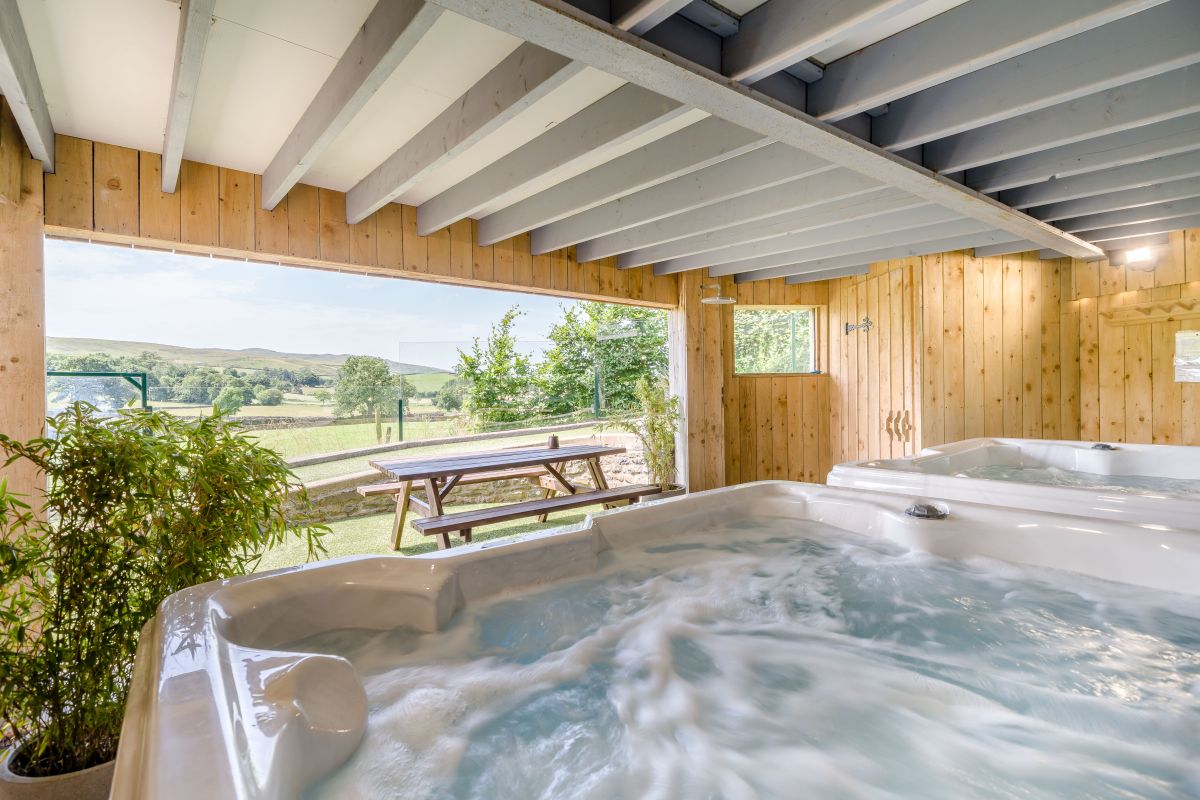
Howgills House
Sleeps 28 · 12 beds
- Hot tub
- No dogs
from £12,628 / week
Check dates for Howgills House (opens the booking site in a new tab)Checked 7 Oct
Sedbergh, Cumbria
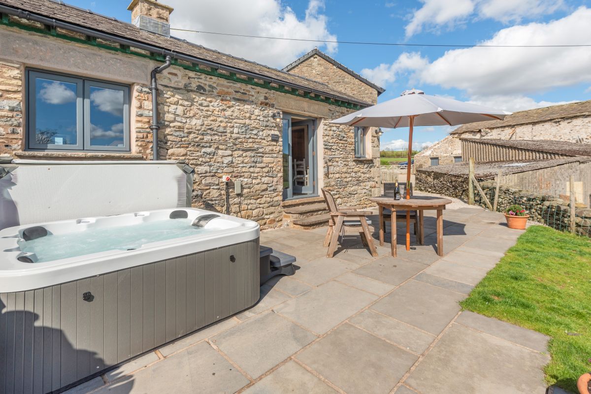
Speight Cottage
Sleeps 2 · 1 bed
- Hot tub
- Wood burner
- Drying room
- Dogs
from £565 / week
Check dates for Speight Cottage (opens the booking site in a new tab)Checked 7 Oct
Distances, ascent and times here are planning figures taken from published sources, not a route description to navigate by. Take a map and check the forecast. We do not publish conditions, because nothing on this page is updated often enough for you to trust it on the day.