The Calf from Sedbergh
The highest summit of the Howgill Fells at 676m, climbed from Sedbergh by Settlebeck Gill and Calders, or by way of Cautley Spout.
- 13 km
- 800 m up
- 4 hr 30 min
- Moderate
A book town below the Howgills, with the hill from the door.
Oxenholme, reached by Western Dales bus services; Dent, on the Leeds to Settle to Carlisle line, is the other station in range
1
22
Sedbergh lies on the north bank of the River Rawthey at the foot of the Howgill Fells, about 10 miles east of Kendal, with 2,765 residents in the 2011 census, according to Wikipedia. It sat in Cumbria until the Yorkshire Dales National Park extended its boundary on 1 August 2016 and took in the Howgills, adding 417 square kilometres, as the park authority records. Wikipedia calls it England’s official book town, with several independent bookshops and dealers, and records that the Ingleton branch line reached it in 1861 and carried passengers until 1954.
The case for sleeping here is a single hill and its neighbours, which start from the town itself. The hill is The Calf, the highest of the Howgills at 676m, and the park authority quotes Alfred Wainwright on the range: “a herd of sleeping elephants”. The Howgills are steep, grassy and rounded, because their rock is lower Palaeozoic slate and gritstone, not the limestone of the dales further south. That makes Sedbergh a base for people who want fell walking without scrambling, and a poor one for anyone who wants limestone scars and waterfalls on the doorstep.
The Calf is the day that starts on foot. Visit Sedbergh gives the start as its information centre at 72 Main Street, and the route goes up Joss Lane and Settlebeck Gill onto the fell, 13km and 800m of ascent by the direct route. Walking Britain places the start at SD 659921, in a pay and display car park near the centre. Visit Sedbergh also offers Winder, the small hill above the town, at 5.5km and 350m of ascent, from the same door.
The longer variant, by the River Rawthey to Cautley Spout, adds distance but not a drive; Walking Britain gives it as 16.3km and 697m of ascent. That is the whole of what this site joins to Sedbergh, one listed walk against the three at Hawes, so a week here is a week of fell days with little else to fall back on.
Sedbergh.org.uk names Oxenholme and Dent as the nearest stations. Buses are by day of the week: a Westmorland and Furness service links Kendal bus station, Oxenholme and Sedbergh on Mondays and Fridays, the S1T runs on Tuesdays and Thursdays, the S1W on Wednesdays to Dent village, and the S1S on Saturdays to Dent, with service 832 on summer Sundays and bank holidays connecting Hawes, Sedbergh and Kirkby Lonsdale. Check the Western Dales Bus timetable before building a week around any of them.
By car, Sedbergh.org.uk says it is only 5 miles from junction 37 of the M6, on the A684. Joss Lane car park is open from 9am to 6pm seven days a week; Westmorland and Furness Council notes that market day is Wednesday and that some parking is available when the market is on. Blue Badge holders, motorcycles and public service vehicles park free.
Joss Lane and Loftus Hill are the two off-road car parks. Joss Lane has 54 general spaces, is open from 9am to 6pm every day including bank holidays, and takes cash, card or contactless payment.
Sedbergh is 5 miles from junction 37 of the M6 along the A684. The town centre predates modern vehicles, and drivers cannot turn right at the mini roundabout by the parish church.
The highest summit of the Howgill Fells at 676m, climbed from Sedbergh by Settlebeck Gill and Calders, or by way of Cautley Spout.
Booking links on these earn us a commission. The price you pay is the same either way.
Sedbergh, Cumbria
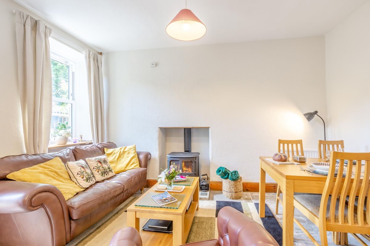
Sleeps 3 · 2 beds
from £506 / week
Check dates for Mountain View Cottage - Sedbergh (opens the booking site in a new tab)Checked 7 Oct
Sedbergh, Cumbria
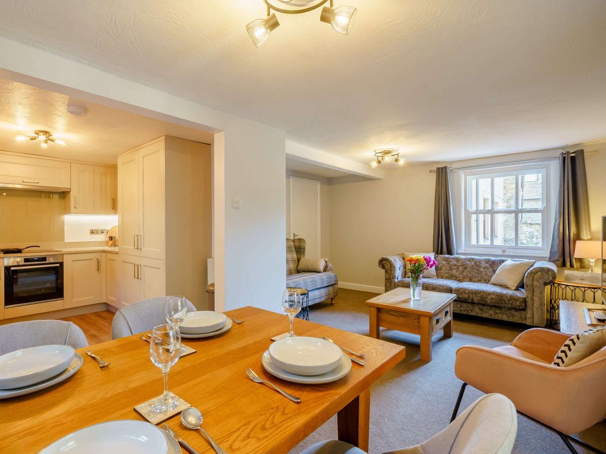
Sleeps 4 · 2 beds
from £596 / week
Check dates for Tangled Yarn Cottage (opens the booking site in a new tab)Checked 7 Oct
Sedbergh, Cumbria
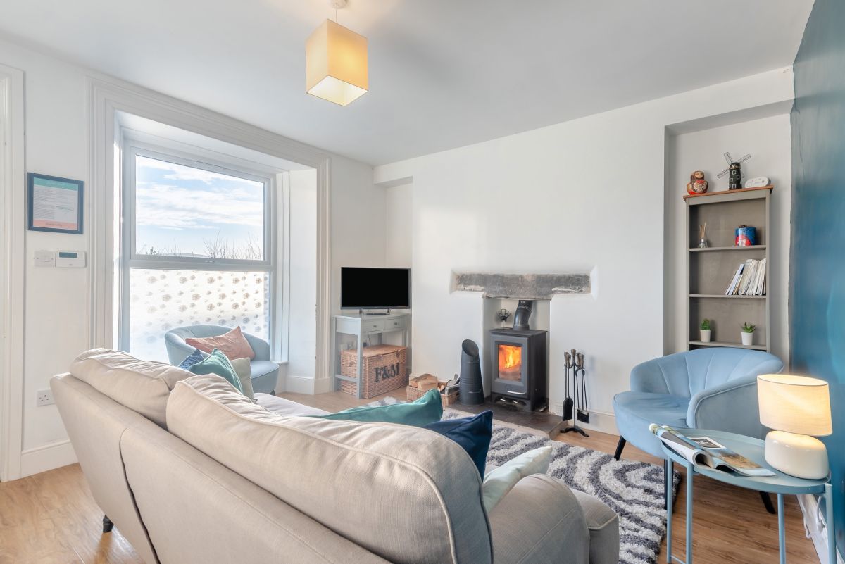
Sleeps 6 · 4 beds
from £679 / week
Check dates for New Street House (opens the booking site in a new tab)Checked 7 Oct
Sedbergh, Cumbria
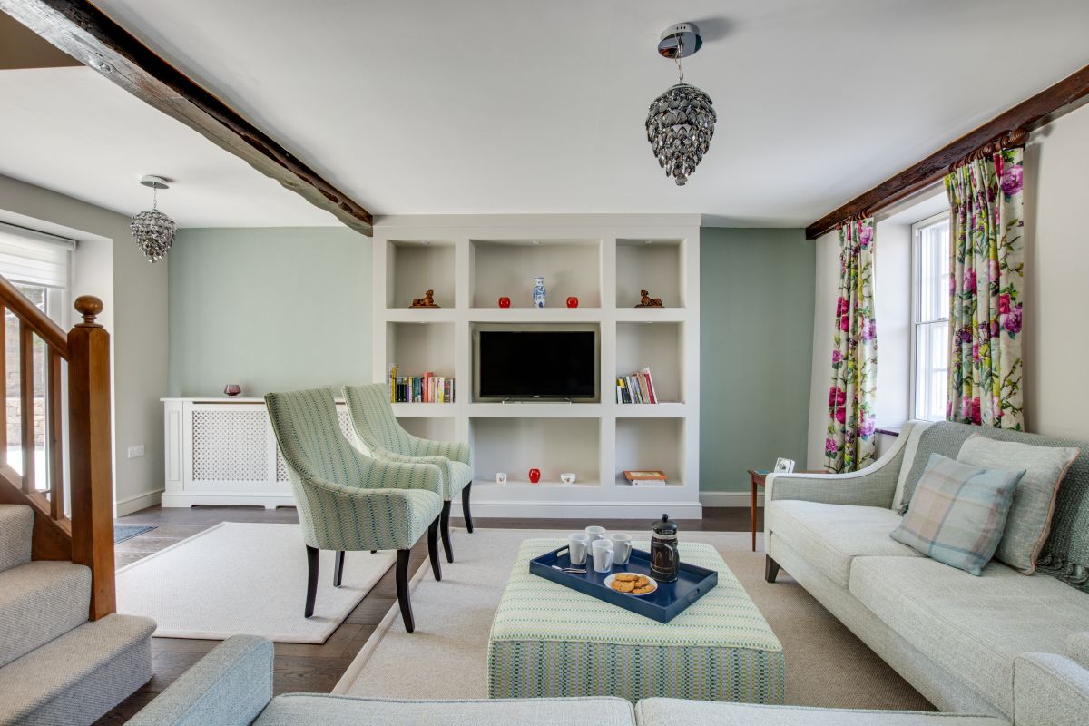
Sleeps 6 · 3 beds
from £663 / week
Check dates for Memories Cottage (opens the booking site in a new tab)Checked 7 Oct
Millthrop, near Sedbergh, Cumbria
Sleeps 2 · 1 bed
from £679 / week
Check dates for No.10 Millthrop (opens the booking site in a new tab)Checked 7 Oct
Sedbergh, Cumbria
Sleeps 28 · 12 beds
from £12,628 / week
Check dates for Howgills House (opens the booking site in a new tab)Checked 7 Oct
Sedbergh, Cumbria
Sleeps 2 · 1 bed
from £565 / week
Check dates for Speight Cottage (opens the booking site in a new tab)Checked 7 Oct