Nine Standards Rigg from Kirkby Stephen
Near Kirkby Stephen, Yorkshire Dales
- Distance
- 18.1 km
- Ascent
- 584 m
- Time
- 5 hr
- Difficulty
- Moderate
- Summit
- 662 m
- Shape
- Circular
Start: Kirkby Stephen railway station, on the Settle to Carlisle line
Grid ref: NY 762 066
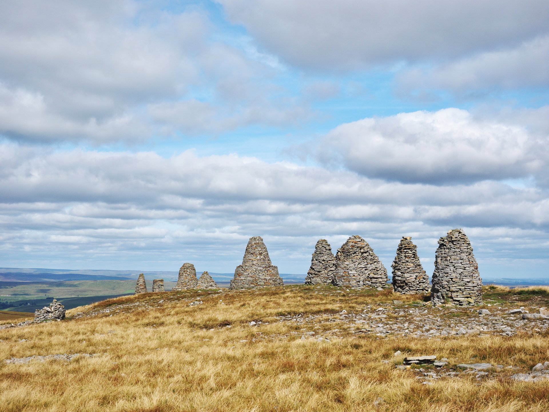
Nine Standards Rigg is the 662m summit of Hartley Fell, which Wikipedia places in the North Pennines Area of Outstanding Natural Beauty and 700m outside the Yorkshire Dales National Park. The Nine Standards themselves are a line of cairns up to four metres high on the Eden and Swale watershed, just north of the summit, and the Friends of Nine Standards count over 30 documents from before 1850 that name them as a boundary mark. The oldest is a record of court proceedings at Brough dated 1617, which copies a perambulation of 1507. In 2005 the East Cumbria Countryside Project paid to rebuild the five northern cairns, which the Friends describe as in a dangerous state of collapse.
The Saturday Walkers’ Club starts its circuit at the station for Kirkby Stephen, which Wikipedia puts 1.5 miles south-west of the town. It follows a path above the River Eden to the gorge at Stenkrith, crosses the Millennium Bridge and runs 830m along the track bed of the old Stainmore railway, then climbs by Ewbank Scar, Ladthwaite Beck and Ladthwaite farm onto Hartley Fell. A sign on the Access Land directs walkers to a waymarked permissive path because of severe erosion on the old main ascent, and the route joins the Coast to Coast Walk for the top. The descent crosses upland peat bog, then limestone with shake holes round Dukerdale and Nateby Common, and ends through Nateby.
The club gives 18.1km with 584m of ascent and five hours of walking time, and rates it 6 out of 10. Where2Walk’s shorter line from the town centre is 14.4km with 486m, and it calls the hill notoriously wet and boggy, with serious bogs, few paths and a bearing needed in bad weather. The circuit suits a walker who wants the Coast to Coast’s best-known landmark with a river and railway approach, and is content with a long day on peat. Anyone who needs a firm path throughout, or is uneasy navigating in cloud, is better sent to Wild Boar Fell, whose circuit climbs from Hazelgill on a line Where2Walk calls straightforward and clear on the ground.
Underfoot
Riverside paths, a disused railway track bed and farm tracks lead onto Access Land on Hartley Fell, where a waymarked permissive path replaces the eroded old ascent; the summit plateau and the descent cross upland peat bog and limestone ground with shake holes, with few landmarks in cloud.
Stay within reach of the start
Booking through these links earns a commission. The price is the same.
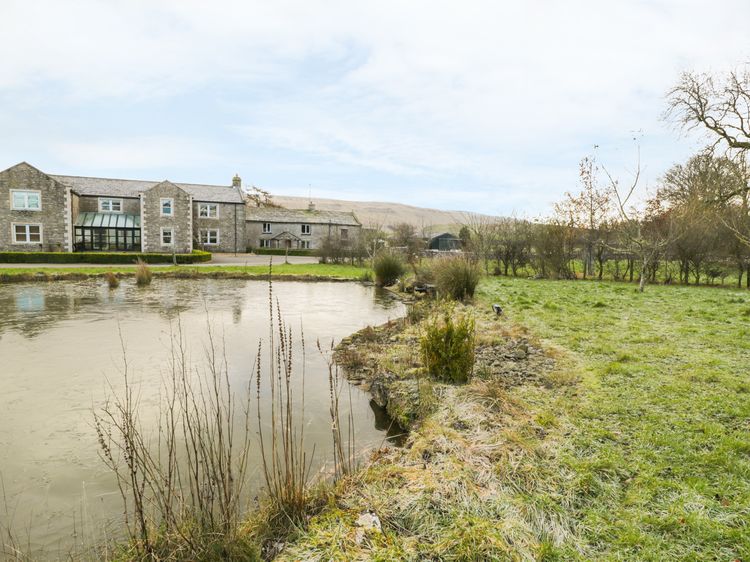
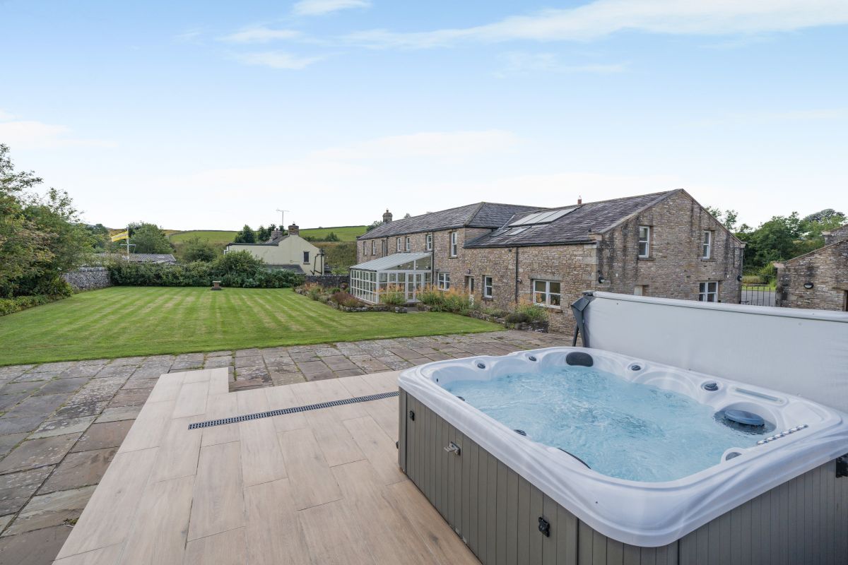
Nateby, near Kirkby Stephen, Cumbria
Eden Valley Farmhouse
Sleeps 8 · 4 beds
- Hot tub
- Wood burner
- Dogs
from £1,519 / week
Check dates for Eden Valley Farmhouse (opens the booking site in a new tab)Checked 7 Oct
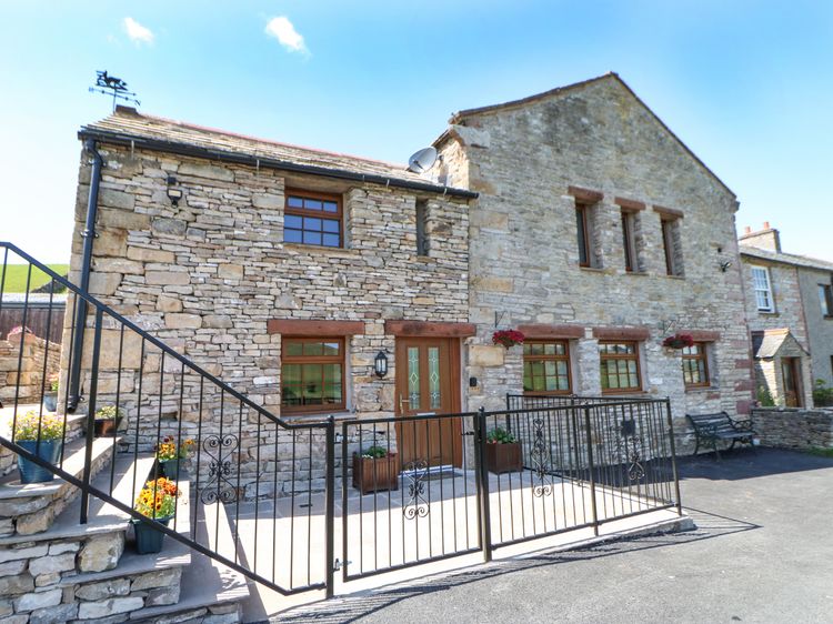
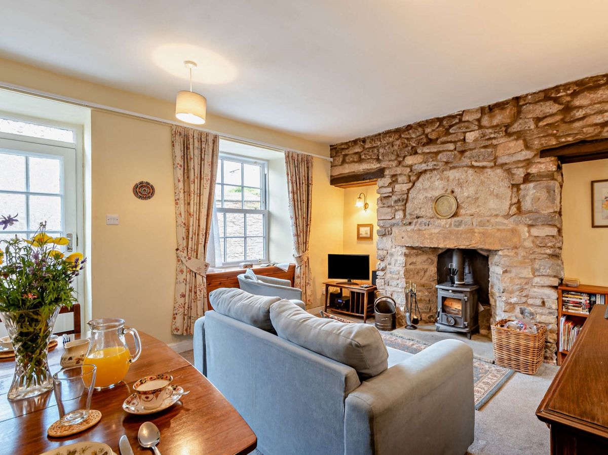
Kirkby Stephen, Cumbria
Cornthwaite Cottage
Sleeps 2 · 2 beds
- Wood burner
- Dogs
from £515 / week
Check dates for Cornthwaite Cottage (opens the booking site in a new tab)Checked 7 Oct
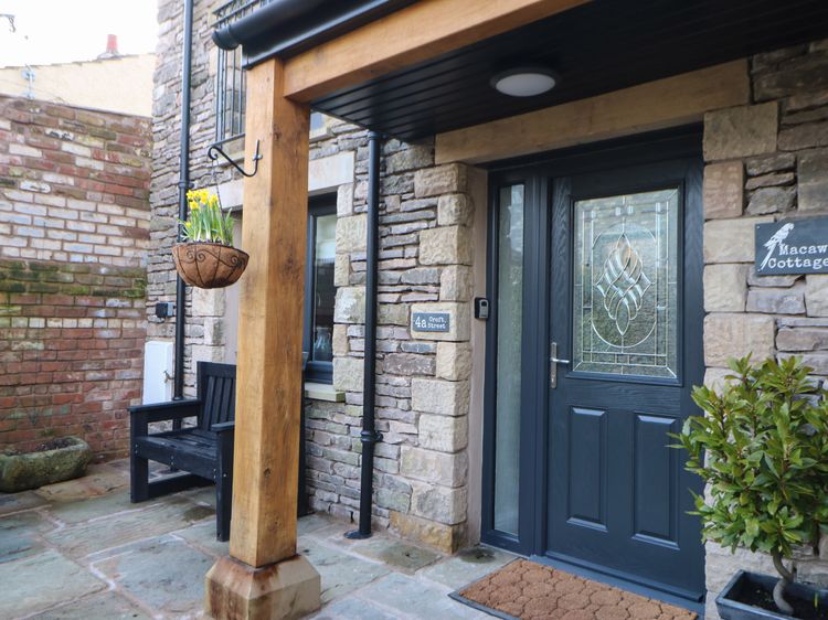
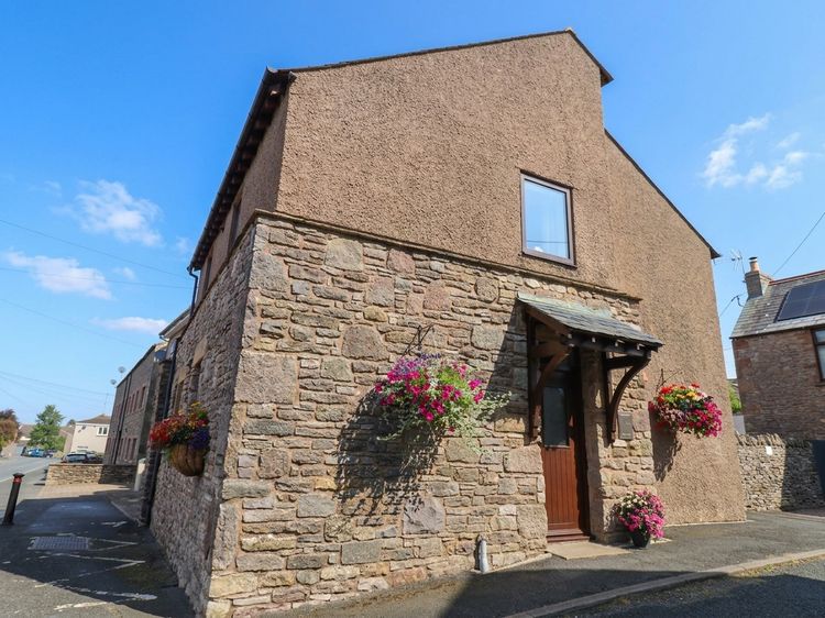
Kirkby Stephen
Macaw Cottages No 4A
Sleeps 2 · 1 bed
- No dogs
from £375 / week
Check dates for Macaw Cottages No 4A (opens the booking site in a new tab)Checked 9 Oct

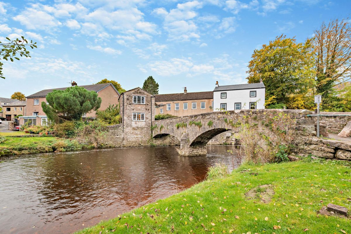
Kirkby Stephen, Cumbria
Riverbank Cottage
Sleeps 2 · 1 bed
- Dogs
from £464 / week
Check dates for Riverbank Cottage (opens the booking site in a new tab)Checked 7 Oct
Distances, ascent and times here are planning figures taken from published sources, not a route description to navigate by. Take a map and check the forecast.