Wild Boar Fell from Aisgill, Mallerstang
Near Kirkby Stephen, Yorkshire Dales
- Distance
- 16 km
- Ascent
- 656 m
- Time
- 4 hr 30 min
- Difficulty
- Hard
- Summit
- 708 m
- Shape
- Circular
- Dogs
- Yes: on a lead or close control near sheep, Paws Explore North says
Start: Aisgill Moor Cottages, Mallerstang
Grid ref: SD 778 963
Wild Boar Fell is 708m, which Wikipedia calls the fourth- or fifth-highest fell in the Yorkshire Dales depending on whether High Seat, at 709m, is counted. It sits on the boundary of the parishes of Mallerstang and Ravenstonedale and shows its flat top from Aisgill. Wikipedia gives Wainwright’s account that it is named for wild boar that lived there over 500 years ago, and records that a tusk said to come from the last one caught on the fell is kept in the parish church at Kirkby Stephen. Millstones were cut from its gritstone, and partly formed ones remain on the eastern flank; locals took sand from Sand Tarn to make sharpening blocks.
The Walking Englishman starts at Aisgill Moor Cottages and climbs along Hell Gill Beck to Hell Gill Force and Hell Gill Bridge, then walks north on the Old Road past Water Cut, a sculpture in the Eden Benchmarks series that stands for the source of the River Eden on the Pennine watershed. The route drops to Thrang Bridge at 269m and crosses the Settle to Carlisle railway by a livestock bridge near Hazelgill, then climbs by Little Wold and High Dolphinsty to the Nab and the summit trig pillar. It visits Sand Tarn, the eight cairns at Yoadcomb Scar and Swarth Fell before coming down Smithy Gill to the cottages.
The guide gives 16.0km with 656m of climbing, an estimated 4.5 hours, and grades it hard. It names Ordnance Survey Explorer OL19 as the map and calls Mallerstang possibly the least visited part of the Dales, and Where2Walk advises following the fence line between Wild Boar Fell and Swarth Fell in bad weather, starting near the large standing cairns at the south-east corner of the plateau. The circuit suits a walker who wants a full day on a high plateau with little company. Anyone who would rather keep low, or skip a plateau in cloud, will do better on Kisdon Force, 11km on riverside paths in Swaledale.
Underfoot
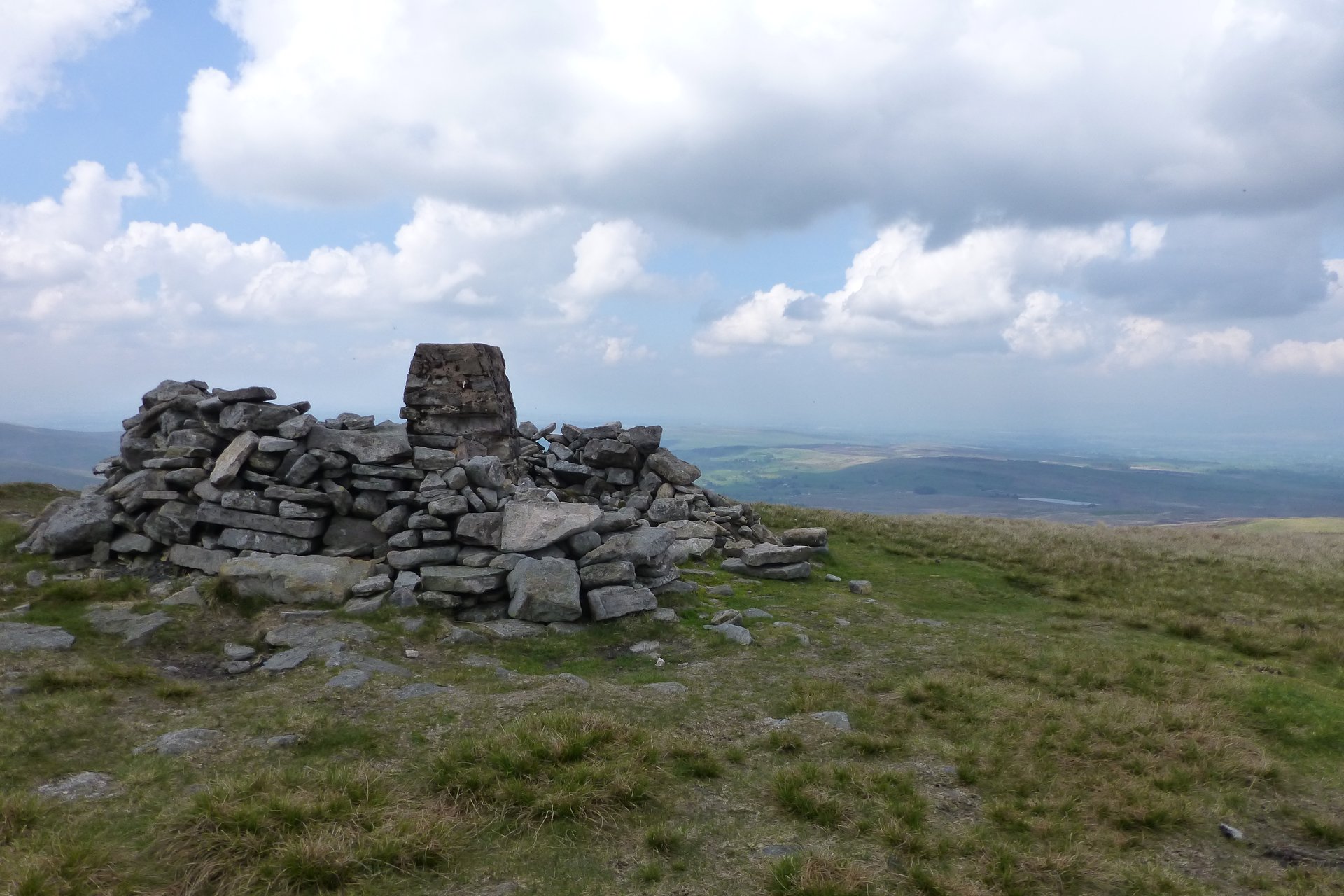
Old Road and fell paths lead to a climb from the railway line to the Nab that steepens near the top, then a high plateau with a partly collapsed trig pillar in a ring shelter; the descent from Swarth Fell Pike follows Smithy Gill, where the bank has to be zigzagged.
Stay within reach of the start
Booking through these links earns a commission. The price is the same.
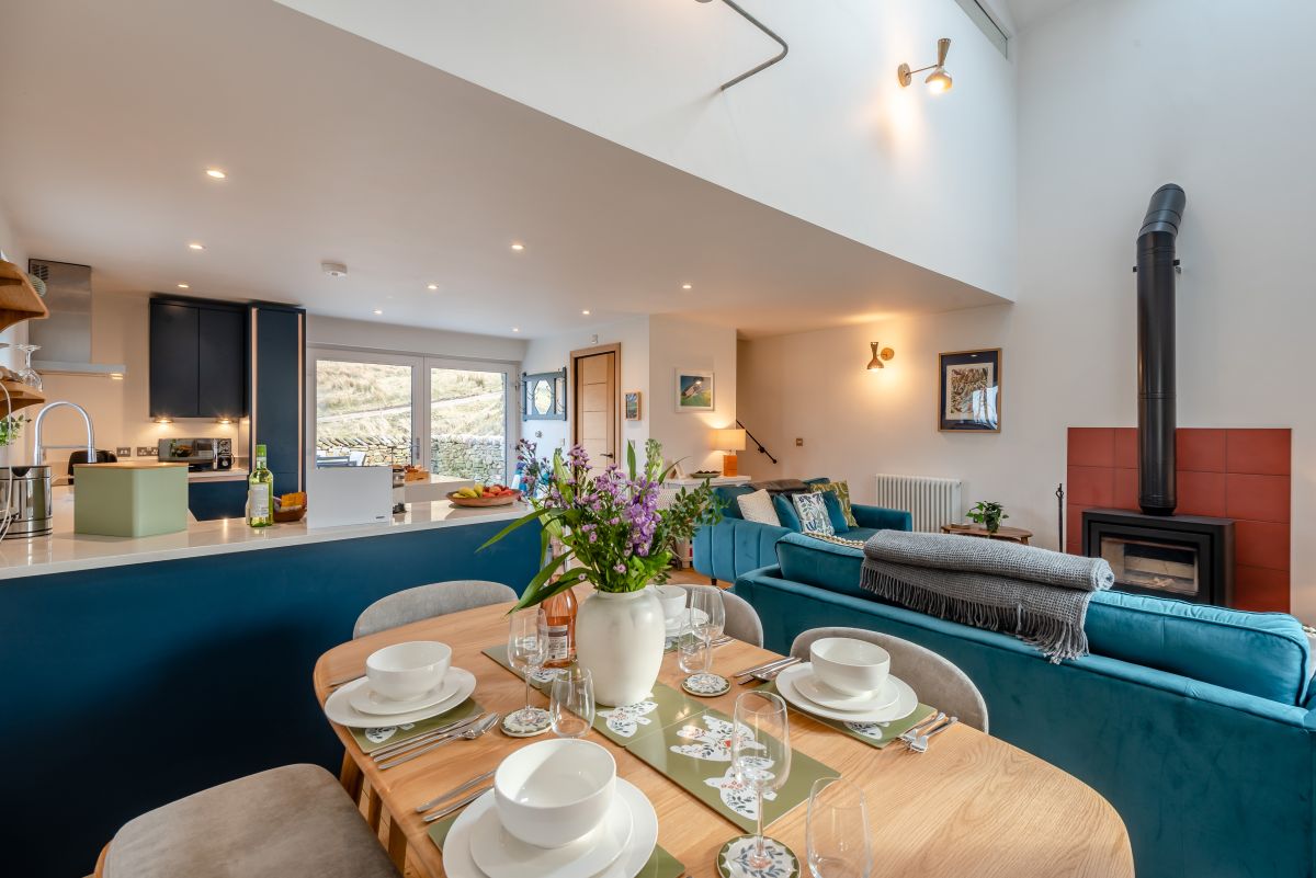
Mallerstang, near Kirkby Stephen, Cumbria
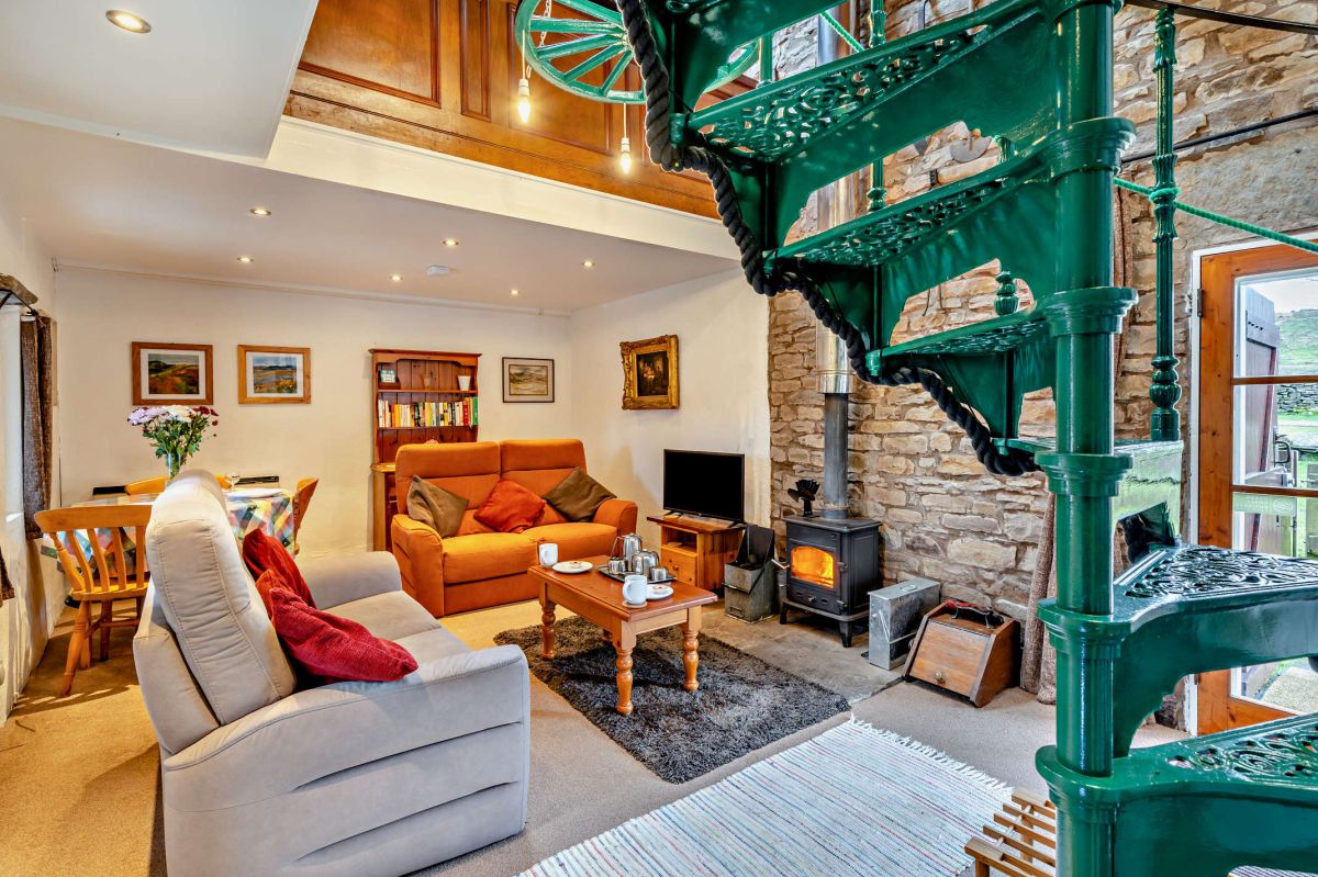
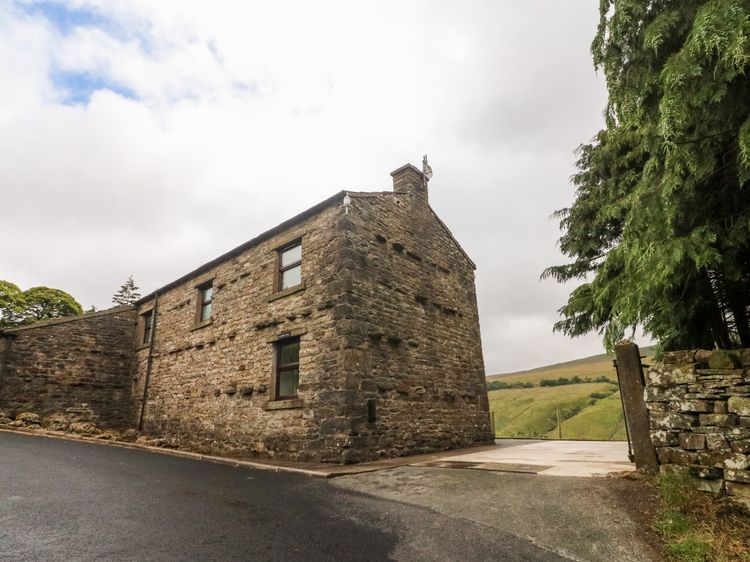
Dorving Barn - Mallerstang
Sleeps 4 · 2 beds
- Wood burner
- No dogs
from £627 / week
Check dates for Dorving Barn - Mallerstang (opens the booking site in a new tab)Checked 7 Oct
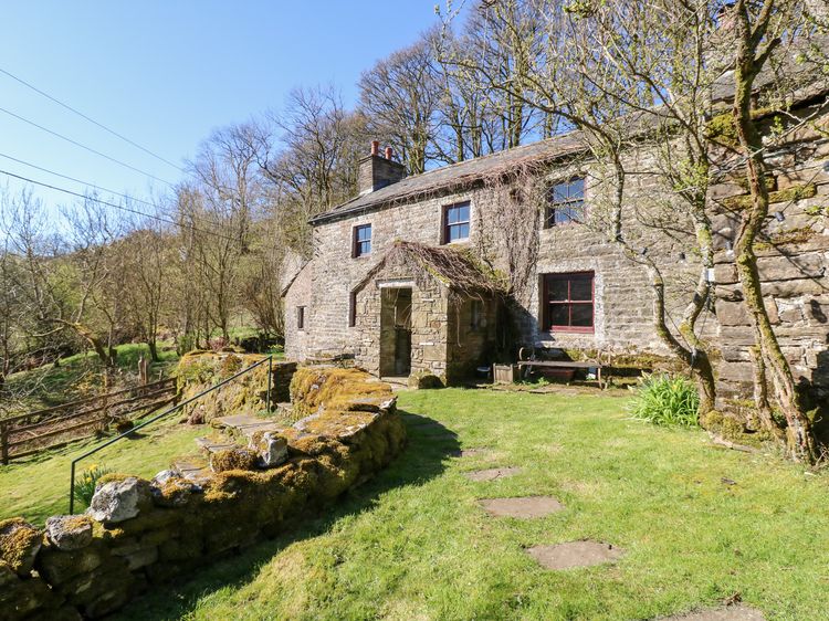
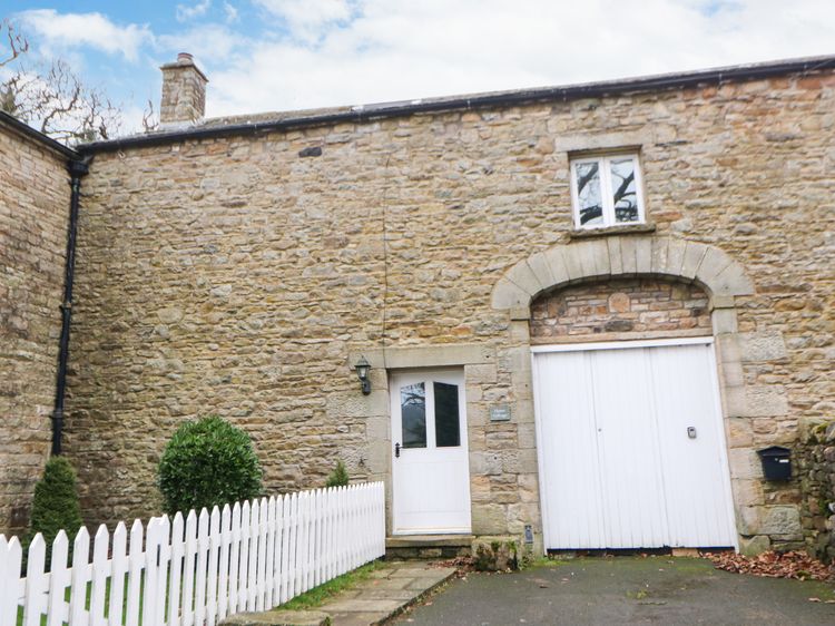
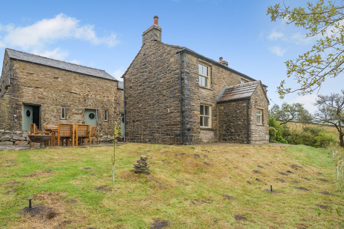
Mallerstang near Ravenstonedale
Sycamore Tree Farm
Sleeps 6 · 3 beds
- Dogs
from £587 / week
Check dates for Sycamore Tree Farm (opens the booking site in a new tab)Checked 9 Oct
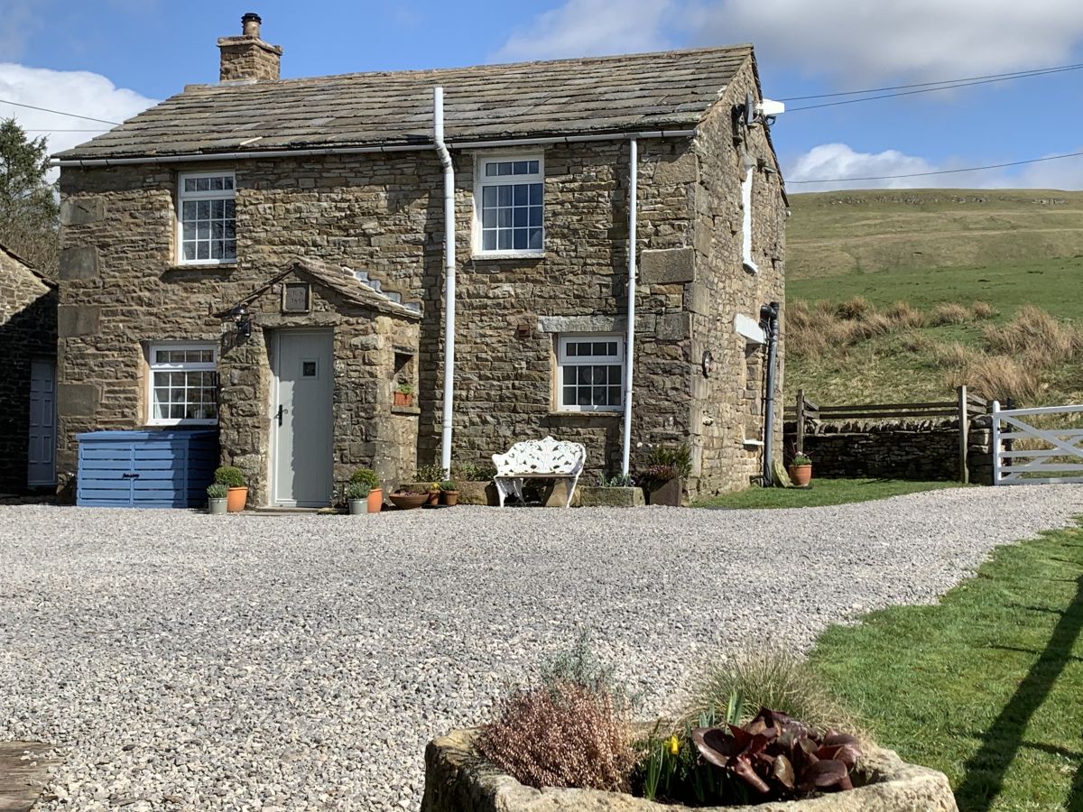
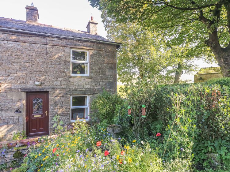
Hawes
Sycamore Cottage
Sleeps 2 · 1 bed
- Drying room
- Dogs
from £332 / week
Check dates for Sycamore Cottage (opens the booking site in a new tab)Checked 9 Oct
Distances, ascent and times here are planning figures taken from published sources, not a route description to navigate by. Take a map and check the forecast.